|
|
Download printer-friendly
PDF version that fits in one page: |
|
|
Other resources:
The Trustees of Reservation: Mashpee River Reservation The Trustees of Reservation: Mashpee River Reservation Map The Trustees of Reservation: Mashpee River Reservation Map (cached copy) Meetup.com: Paddle Mashpee River Cape Cod for Couples: Mashpee River US Harbors: Popponesset Bay Tides All photos in this website are original and copyrighted. Trip date is June 2012. 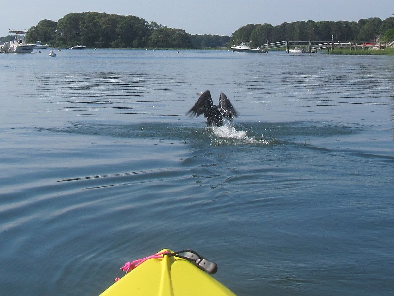 A mutual surprise when this duck surfaced from a dive in front of me.
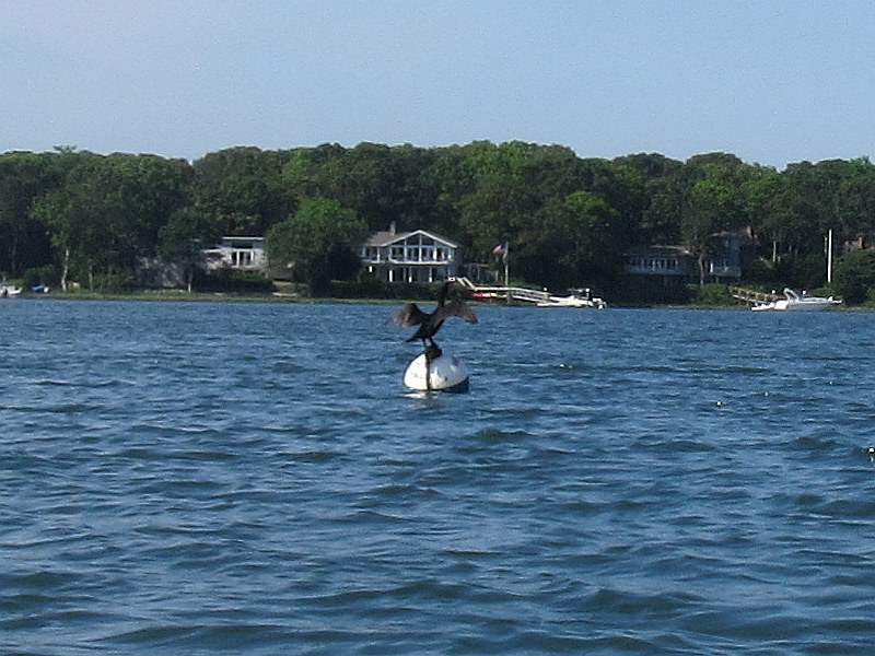 A duck playfully balancing on a buoy.
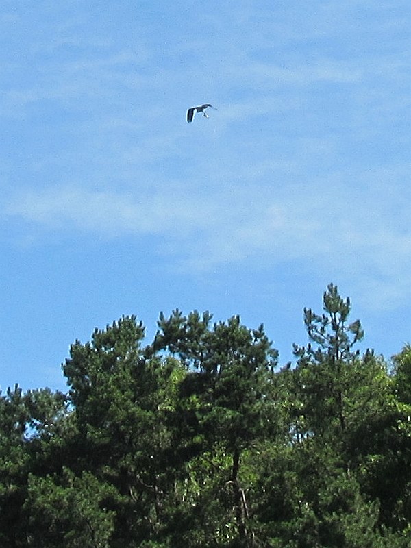
Not very clear on this photo, but this bird has a just-catched fish on its claws. 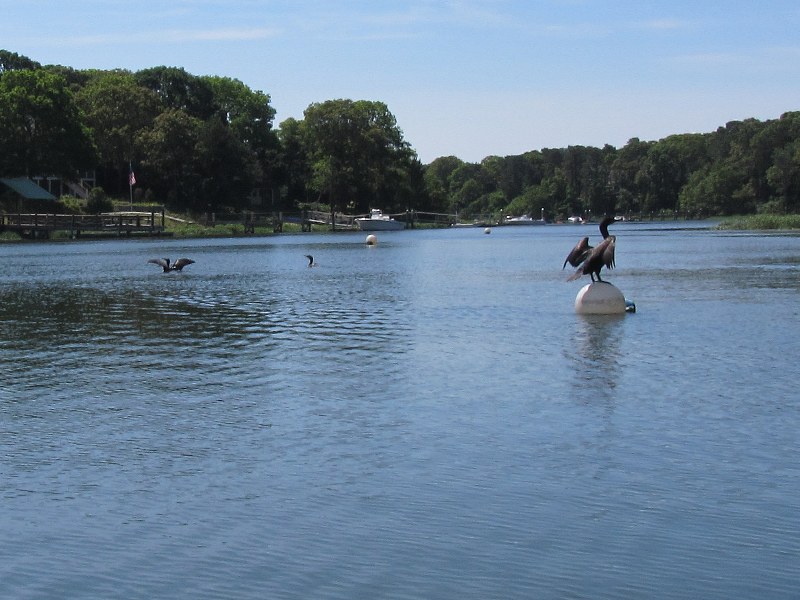
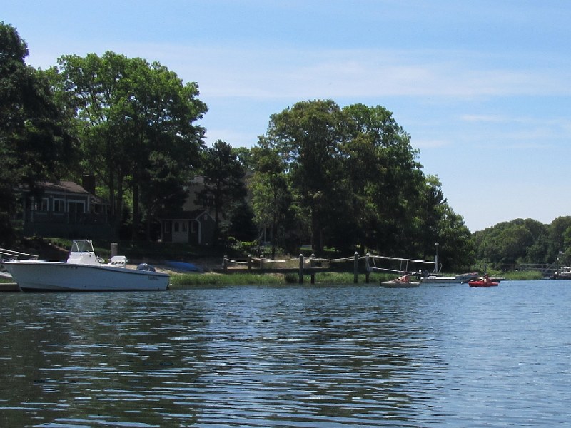 A pair of kayakers on Mashpee River.
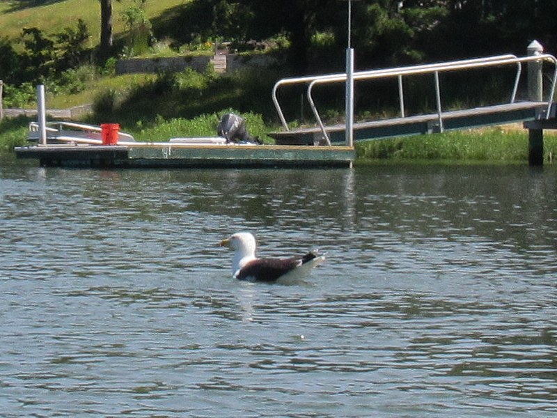 A seagull.
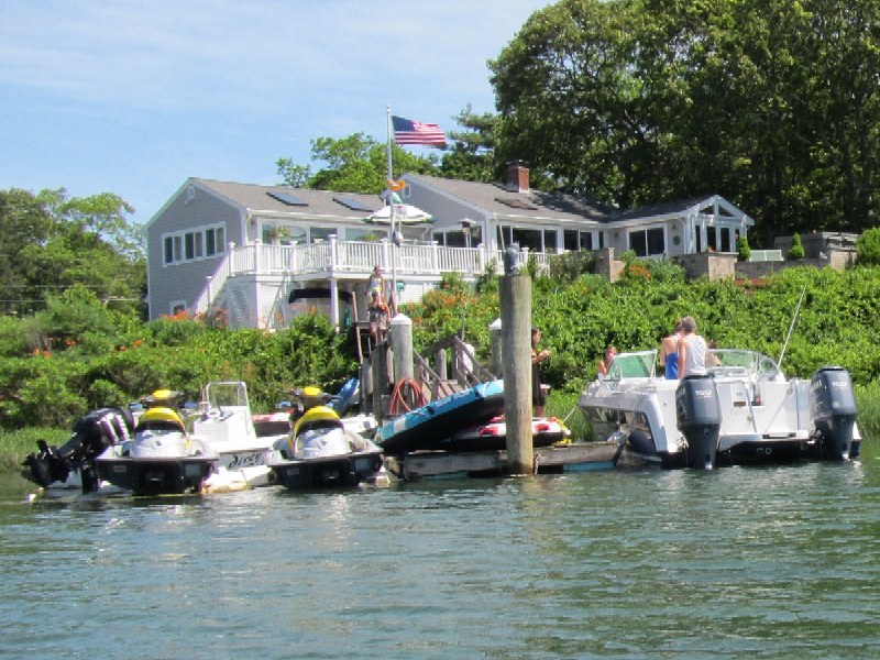
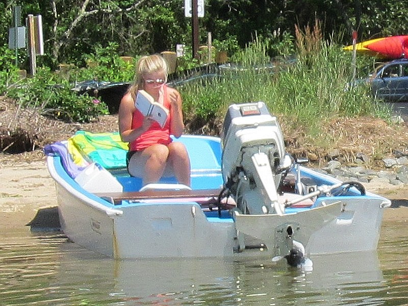
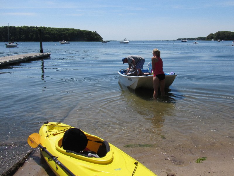
Walking back to my parking spot about a quarter of a mile up. |
