 Kayaker

| |||||||||||||||||||||||


|
Download printer-friendly
PDF version that fits in one page: |

|
|
Other resources:
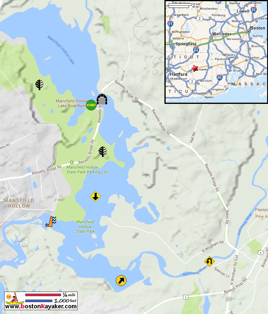
CT Govt: Mansfield hollow State Park (will open in new window) CT Govt: Mansfield hollow State Park Trail Map CT Govt: Mansfield hollow State Park Trail Map (cached copy) All photos in this website are original and copyrighted. 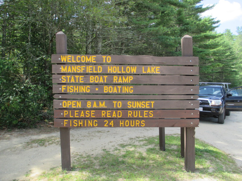 At Mansfield Hollow Lake at Bassett Bridge Road in Mansfield CT.
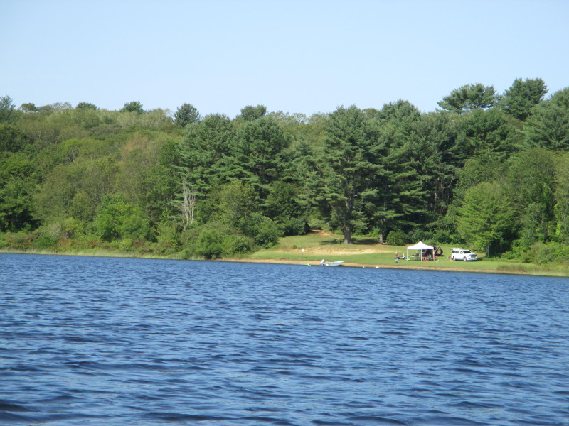
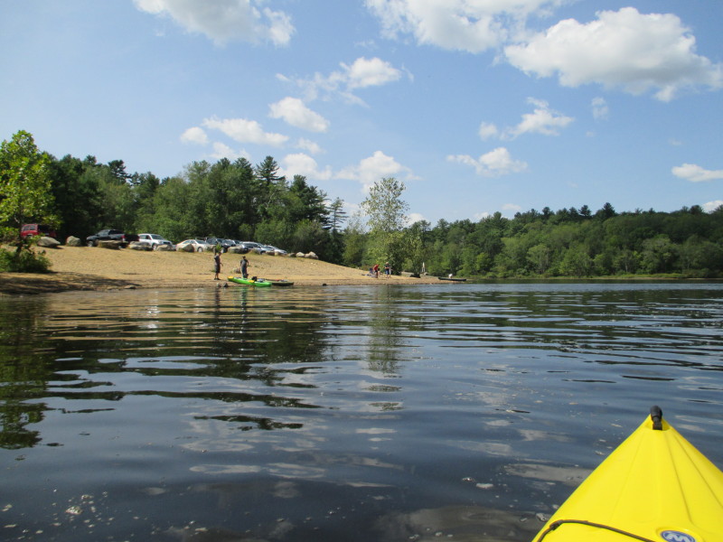
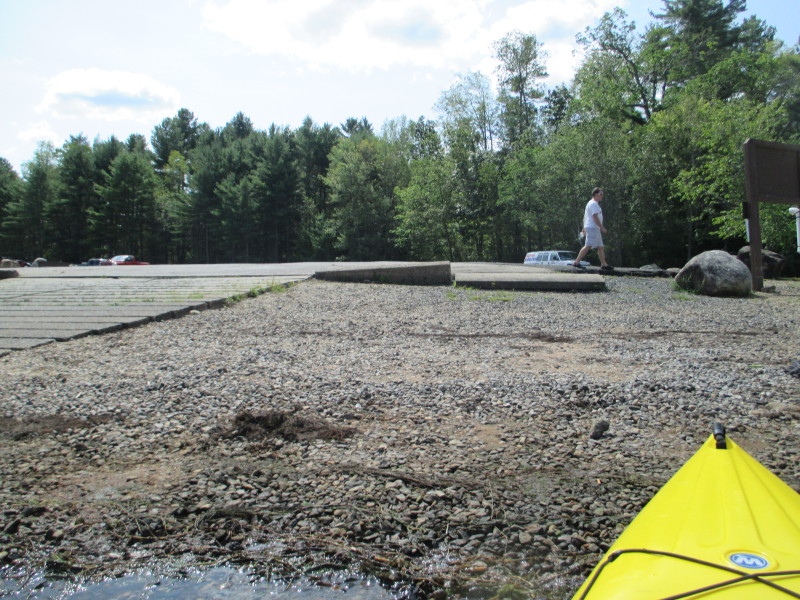
Trip date is August 2017 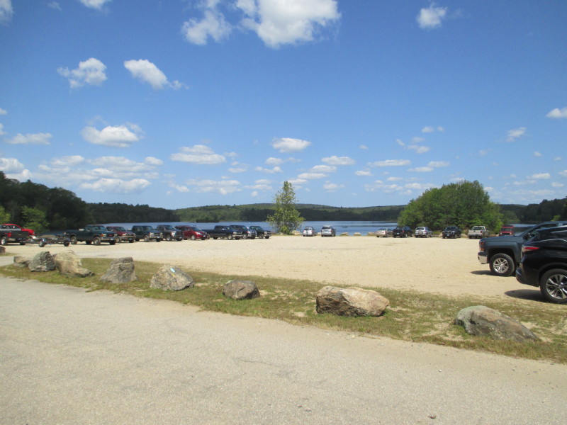 The launch area and parking space at Mansfield Hollow Lake.
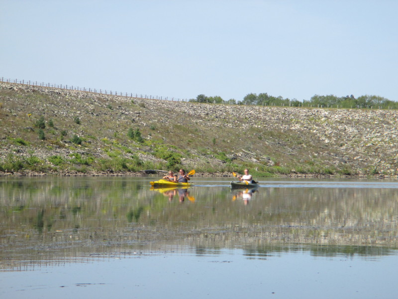
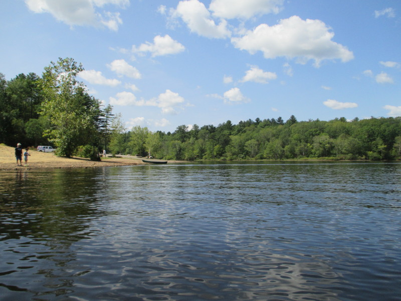
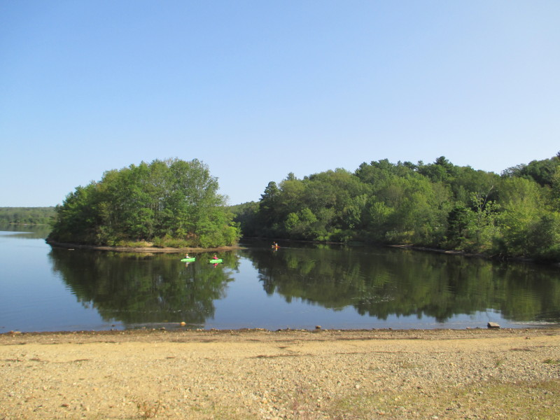 A couple of kayakers on Mansfield Hollow Lake viewed from the parking lot.
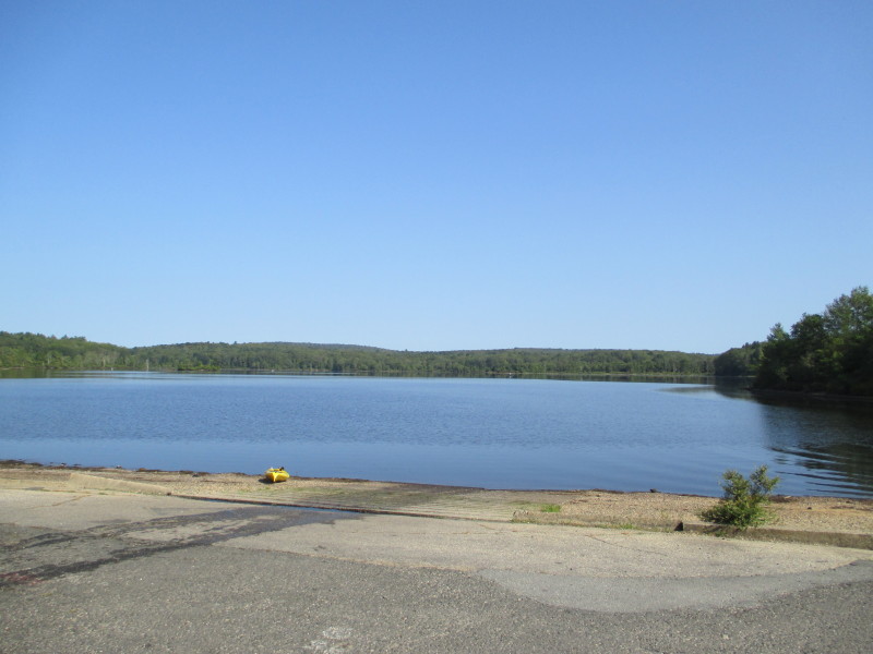 The state ramp to Mansfield Hollow Lake.
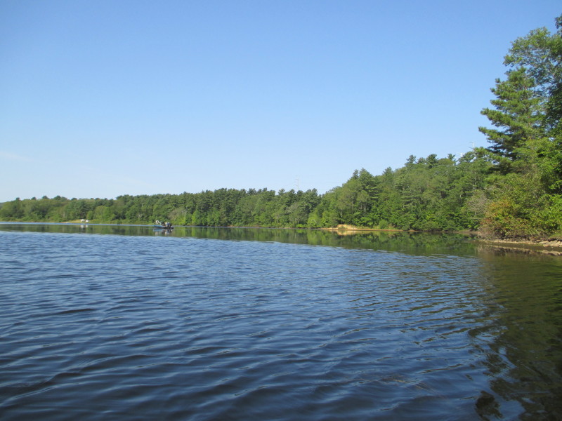
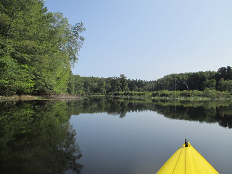
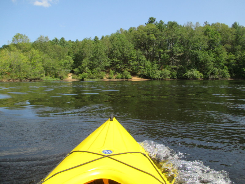
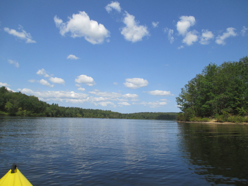
 The Boston Kayaker just launched on Mansfield Hollow Lake.
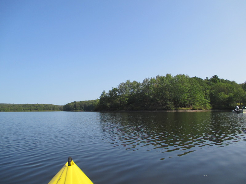
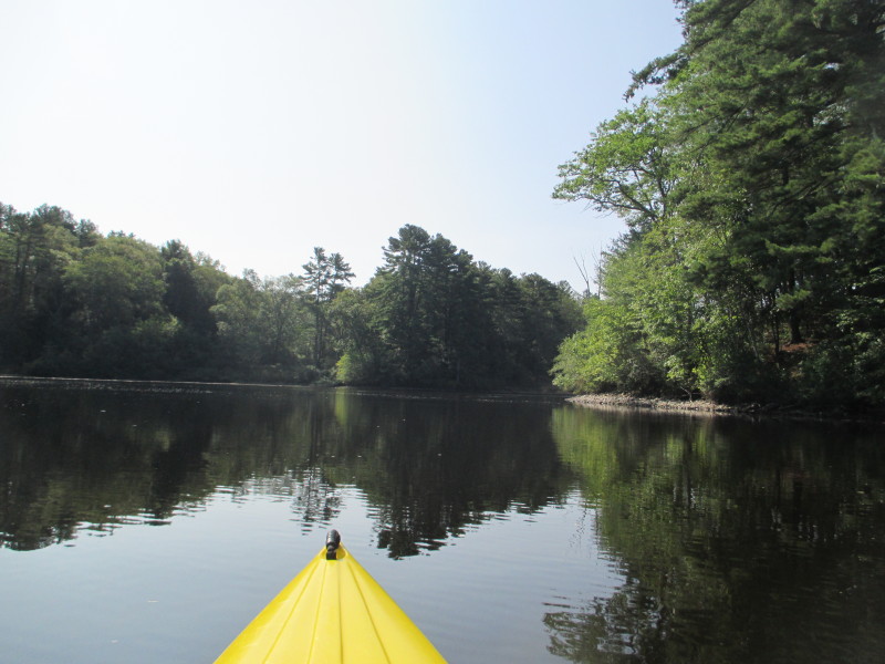
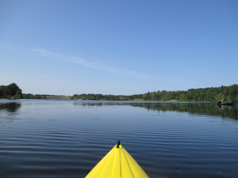
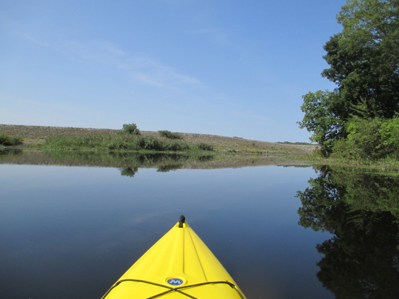
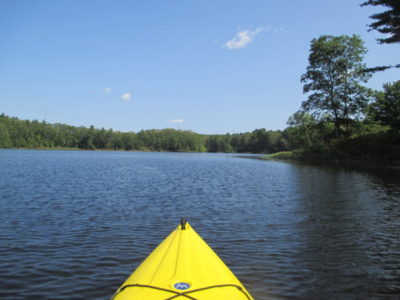
 Veered to my right. Will pass under tunnel for the south basin.
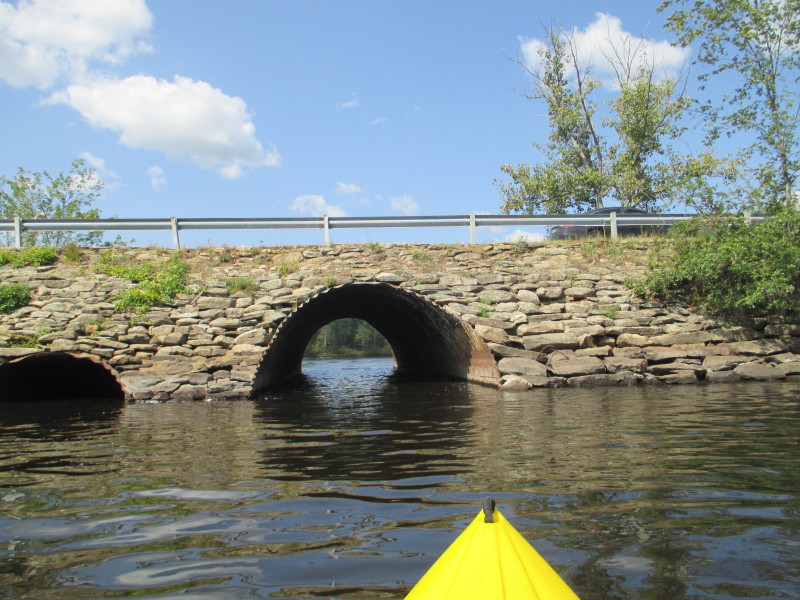
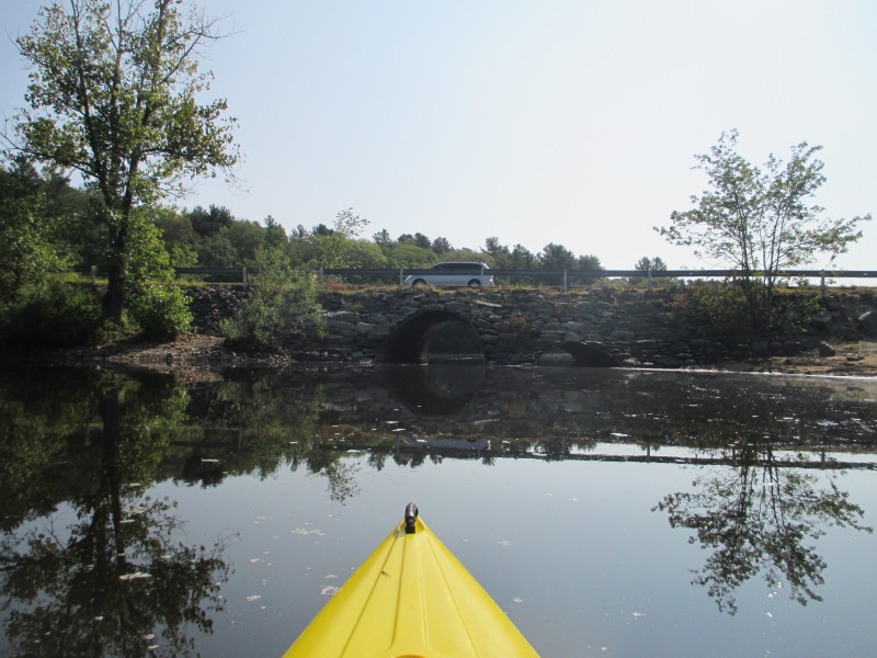 Bassett Bridge Road bridge. Or Bassett Bridge?

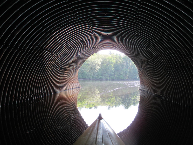 Paddling under the Bassett Bridge on Mansfield Hollow Lake.
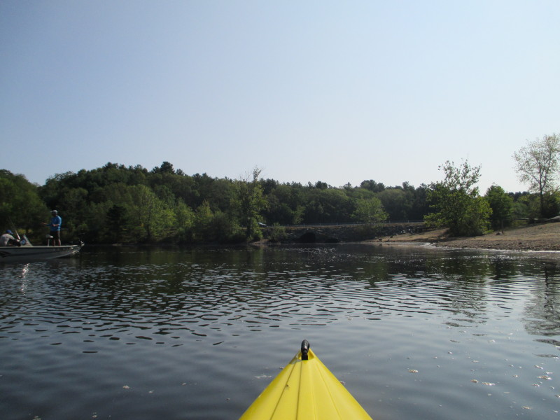
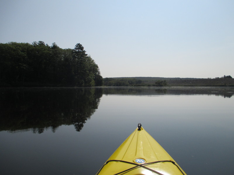
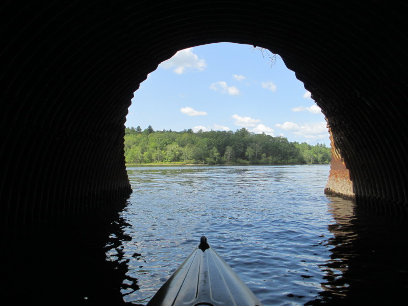
 Out of the tunnel now on the south basin.
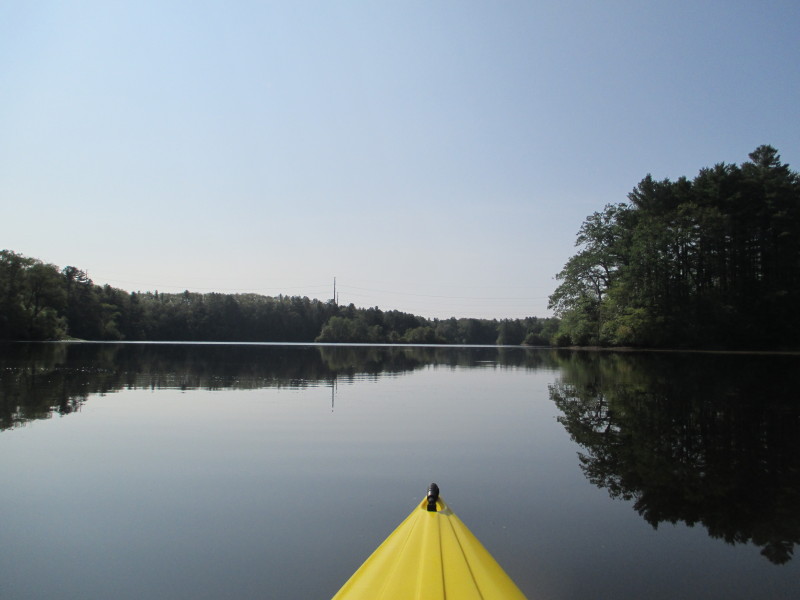
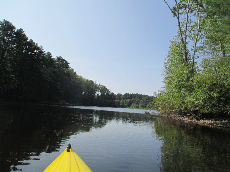
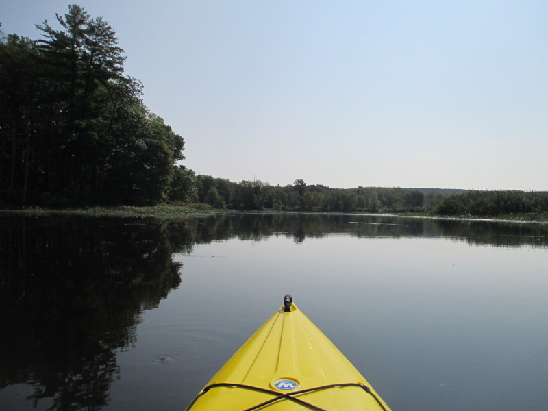
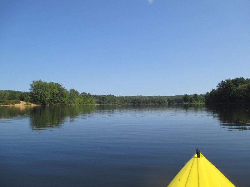
 Will follow the main channel in the middle southwards.
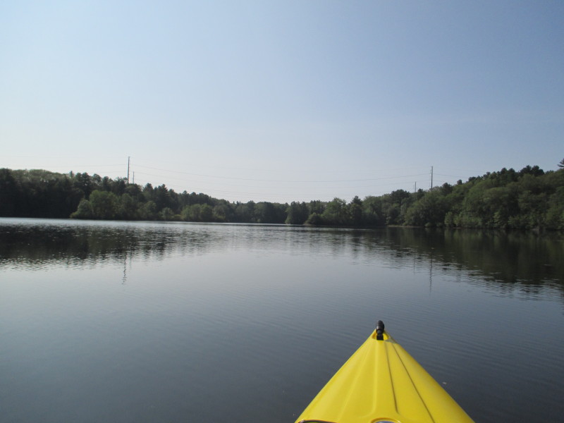
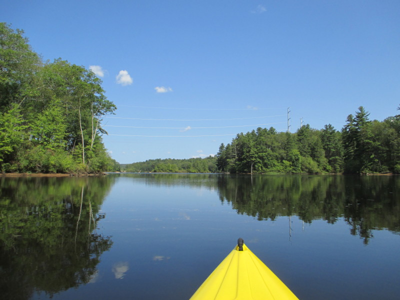
 I can hear the power lines buzzing . . .
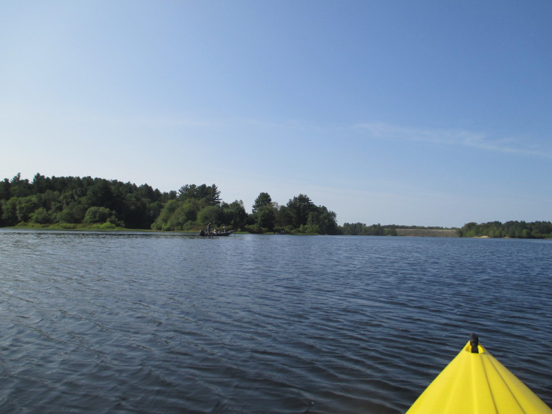
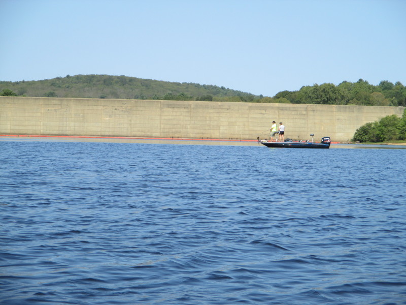
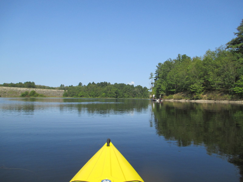
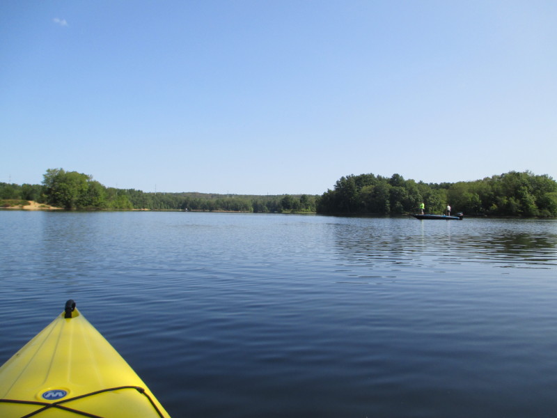
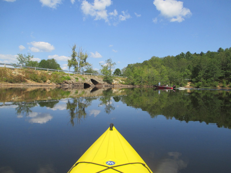
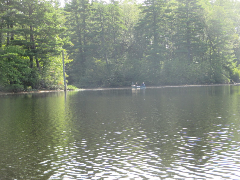 Two guys fishing from a boat on Mansfield Hollow Lake.
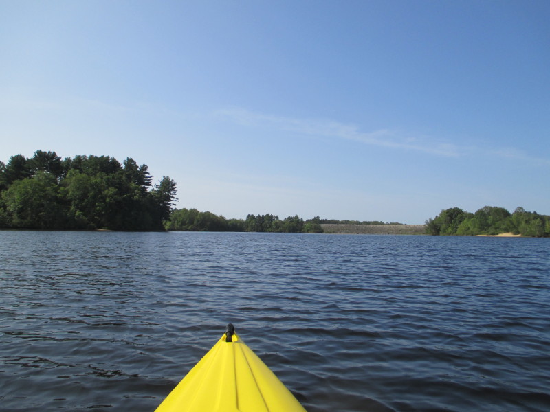
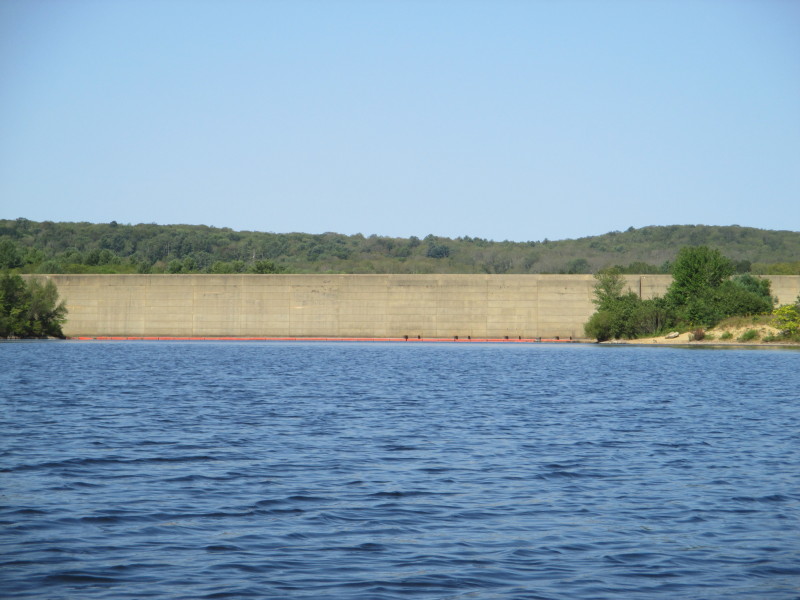
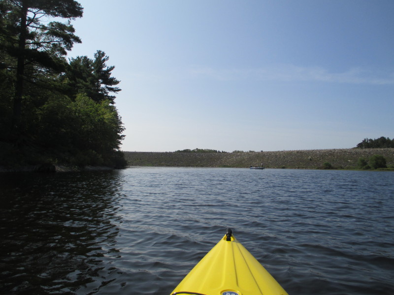
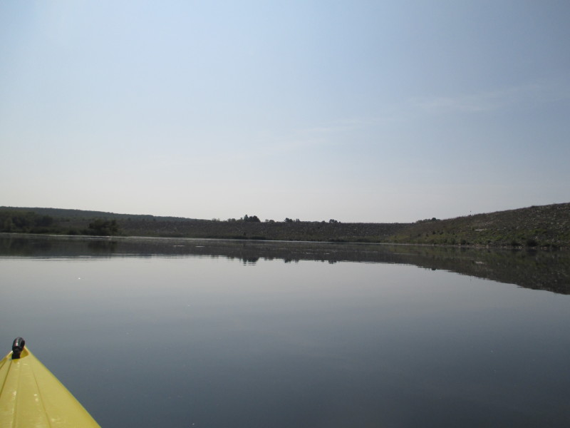
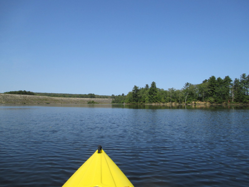
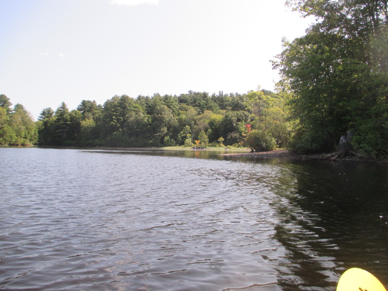
 Now I can see that wall thing at the south end!
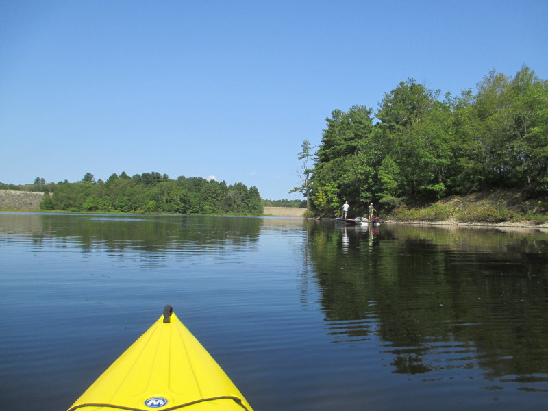
 These guys are running this water drone on the lake by remote control . . .
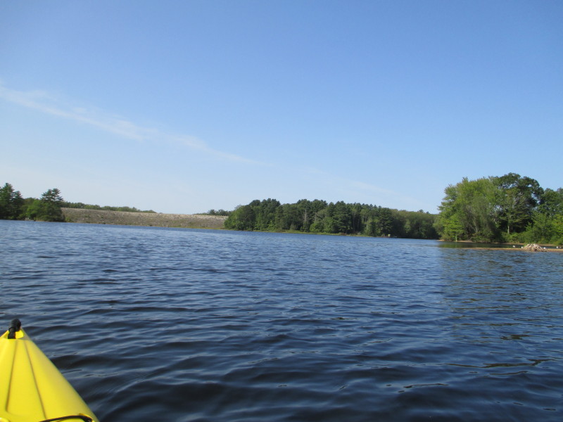
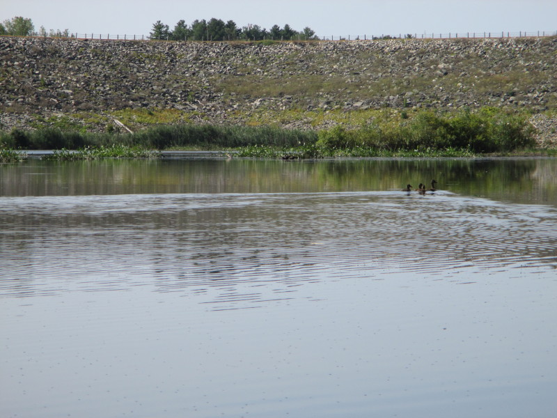
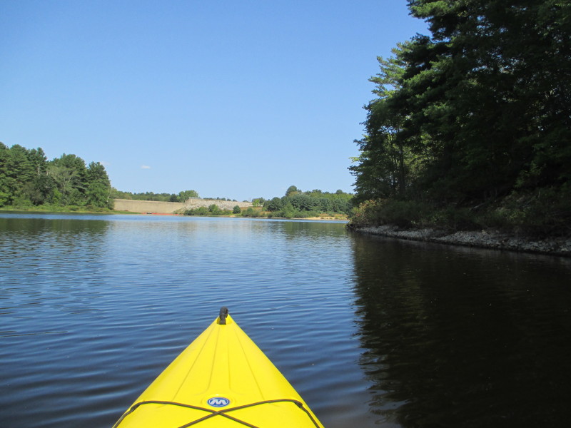
 On my right, the Mansfield Lake Dam and the orange buoys.
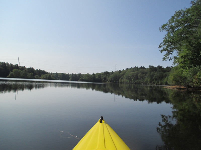
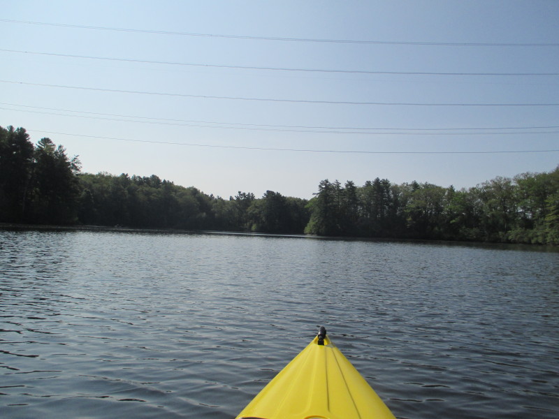
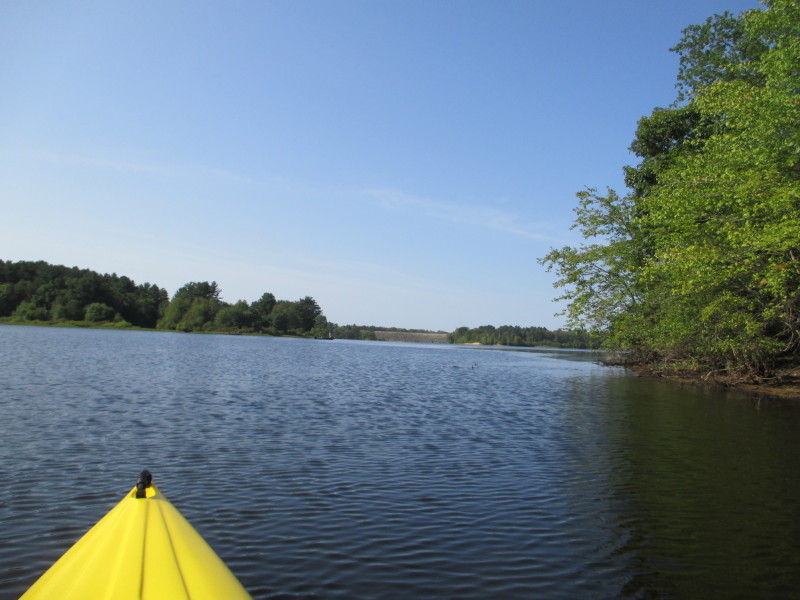
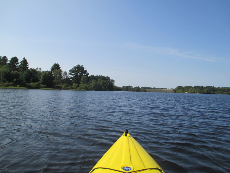
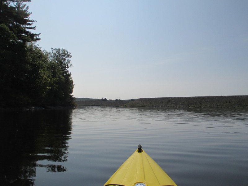
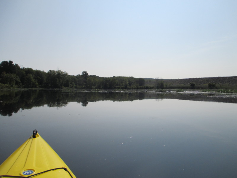
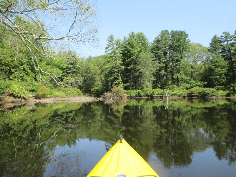
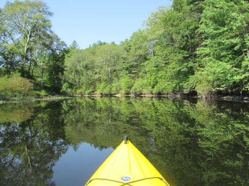
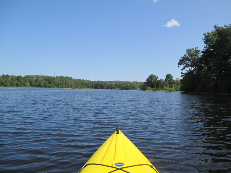
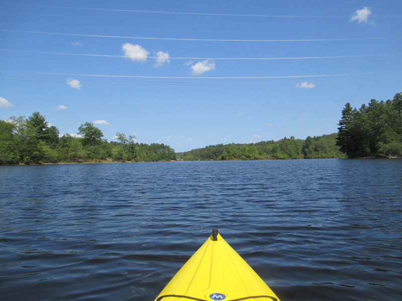
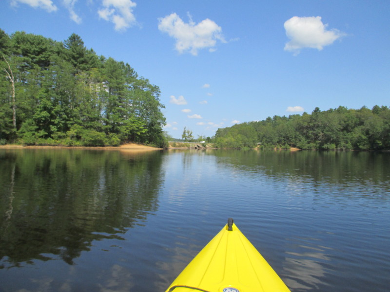
 Continuing southwards.
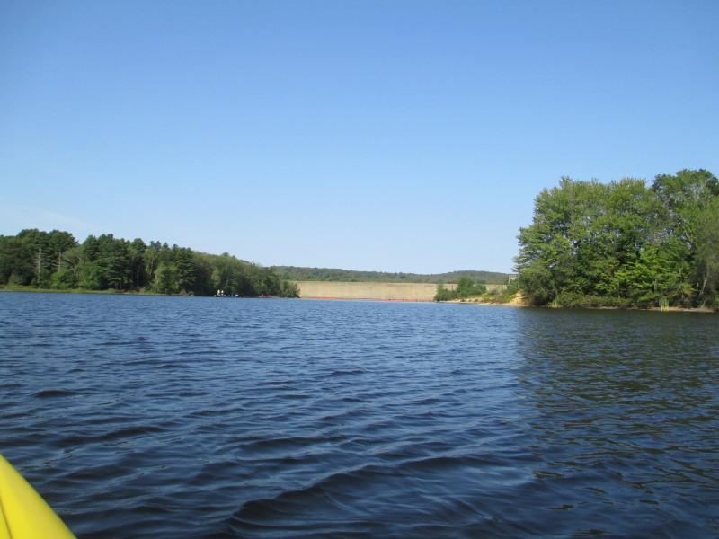
 Approaching the south end. Will then bend left to Natchaug River.
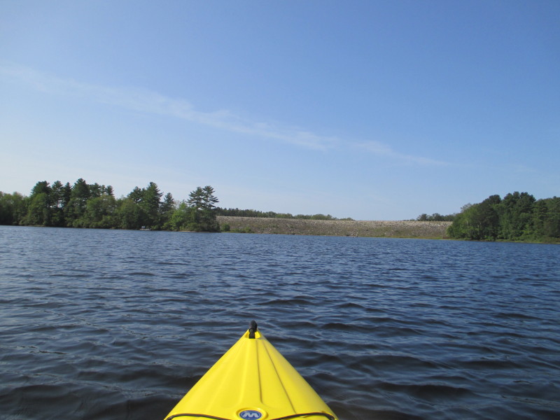
 The wall on my right and bending left to Natchaug River.
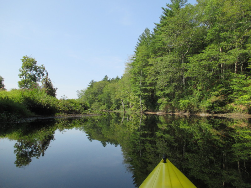
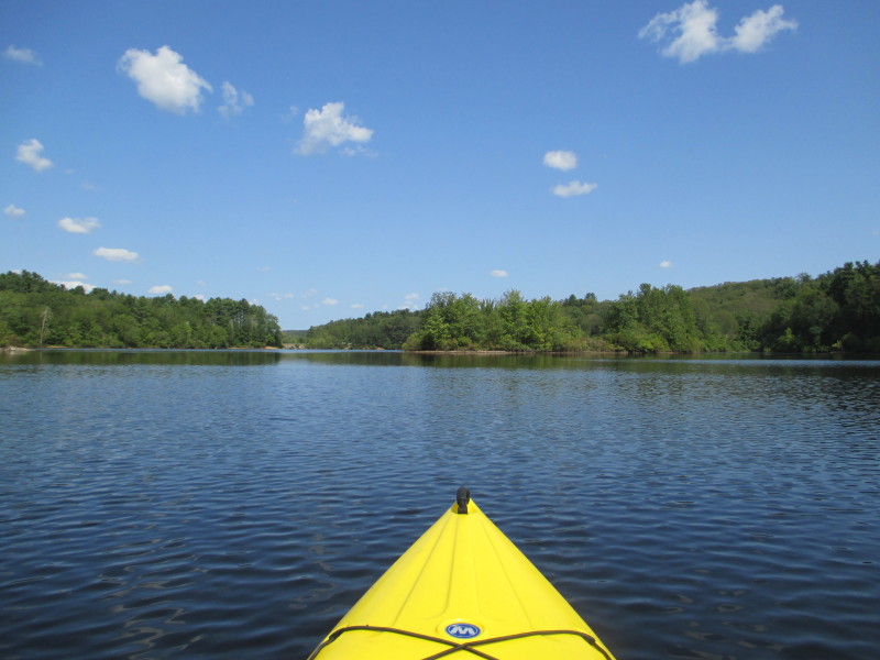
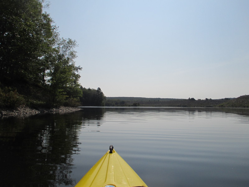 Continuing left bend.
 On my right is the sharp corner where the stone wall ends. Will bend hard left from here.
 Veered hard left to follow the Natchaug.
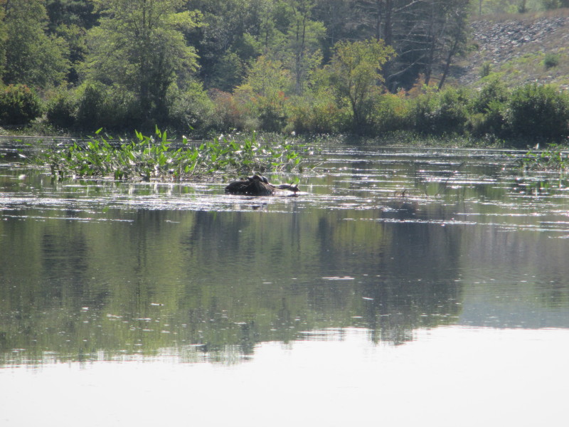
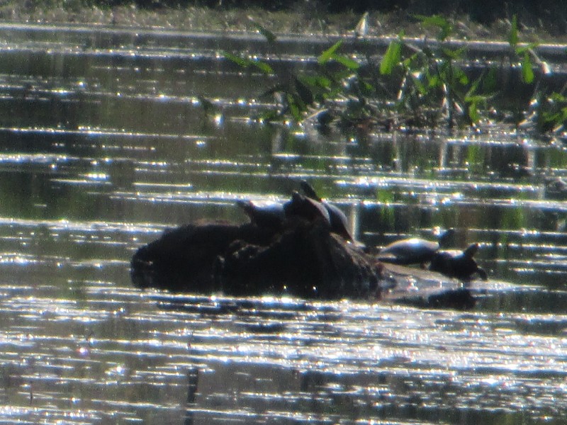 Turtles on Natchaug River.
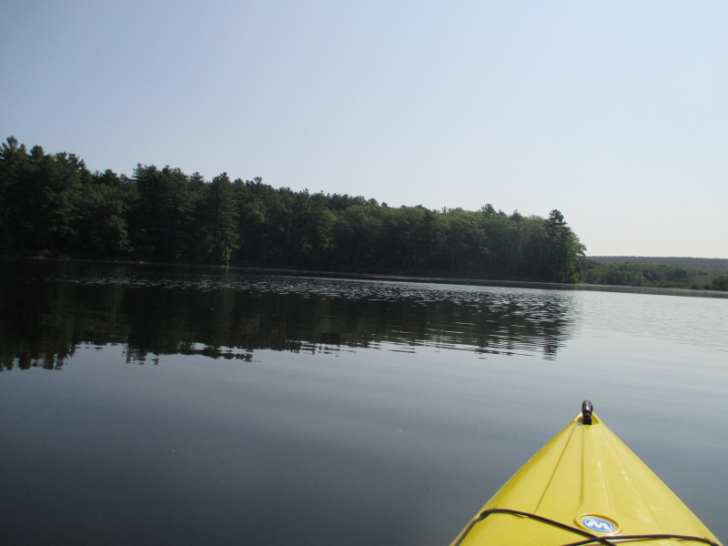
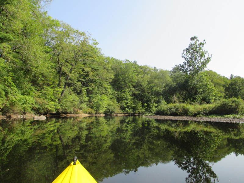
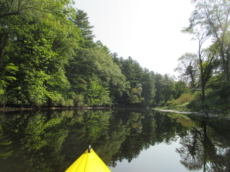
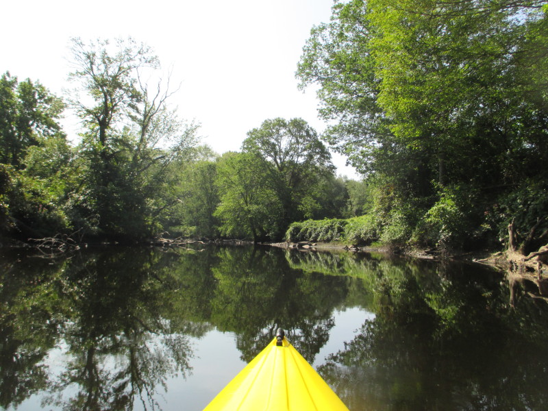
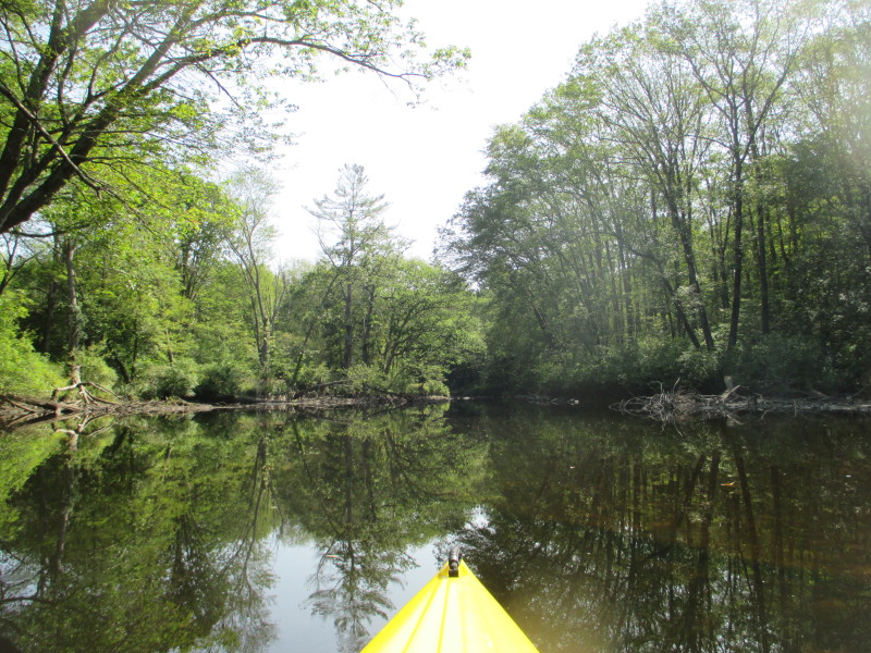
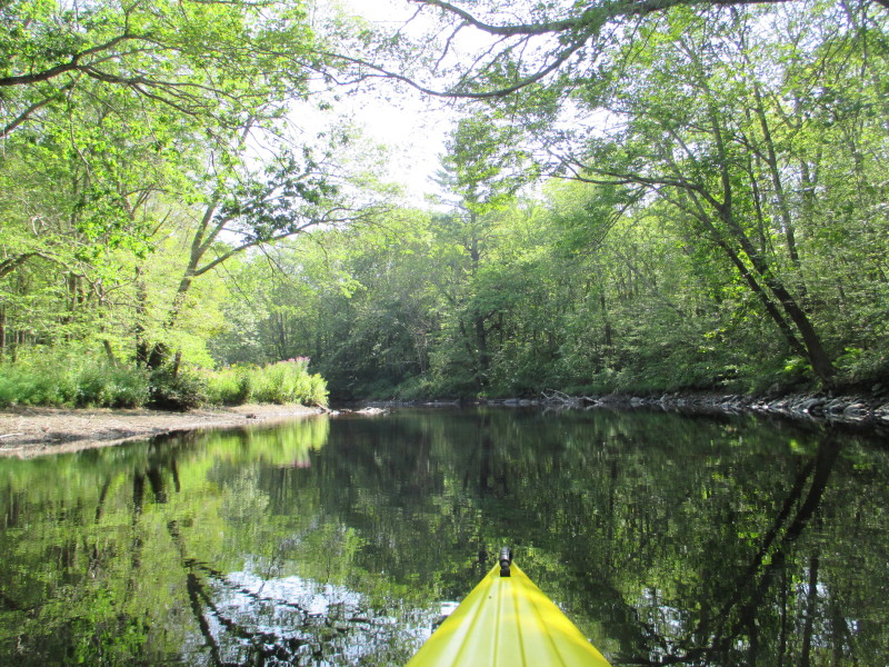
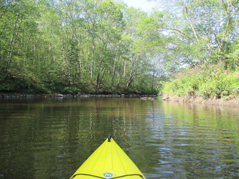
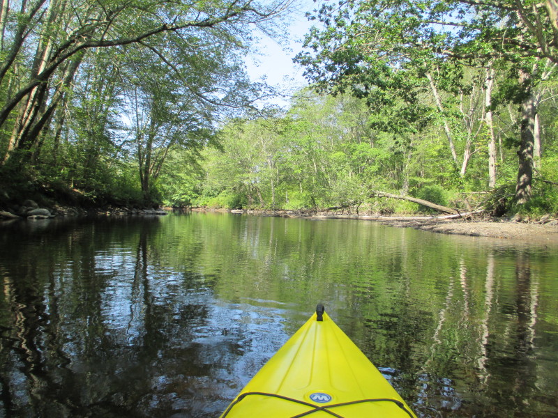
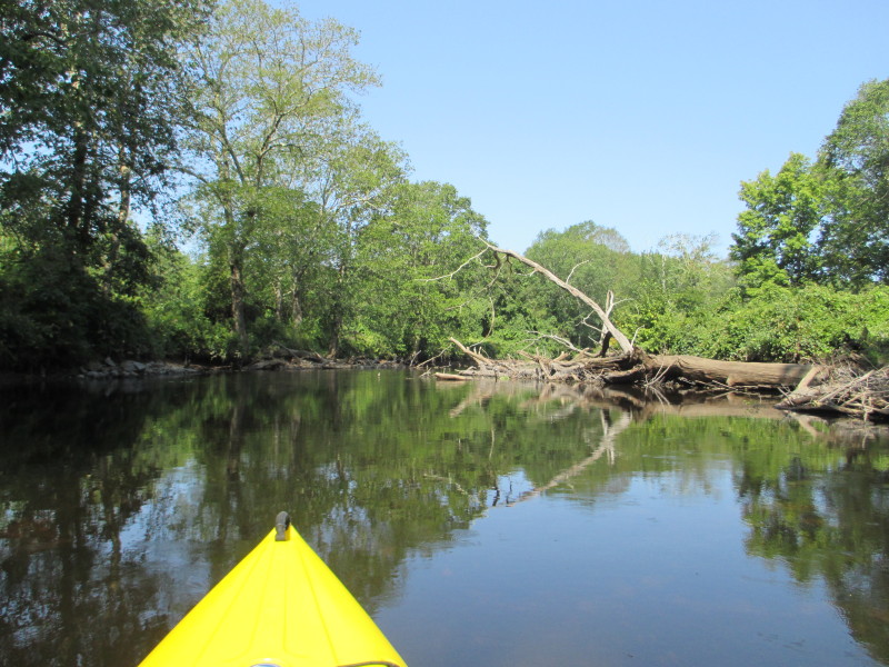
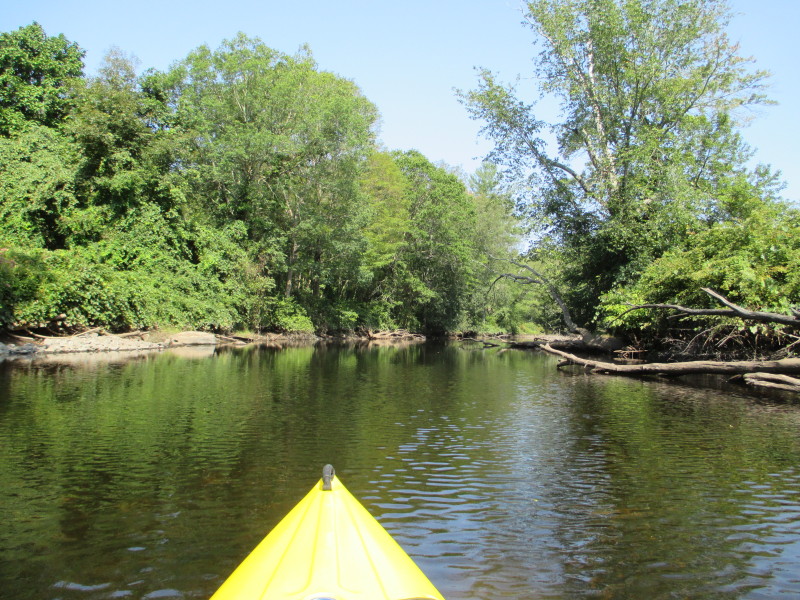
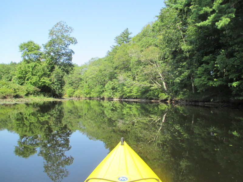
 The Natchaug River narrowing as I continue upriver.
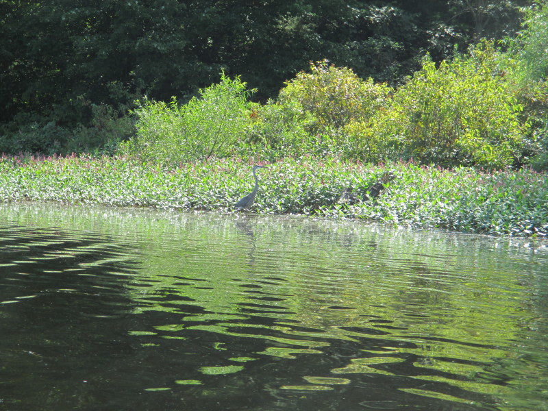
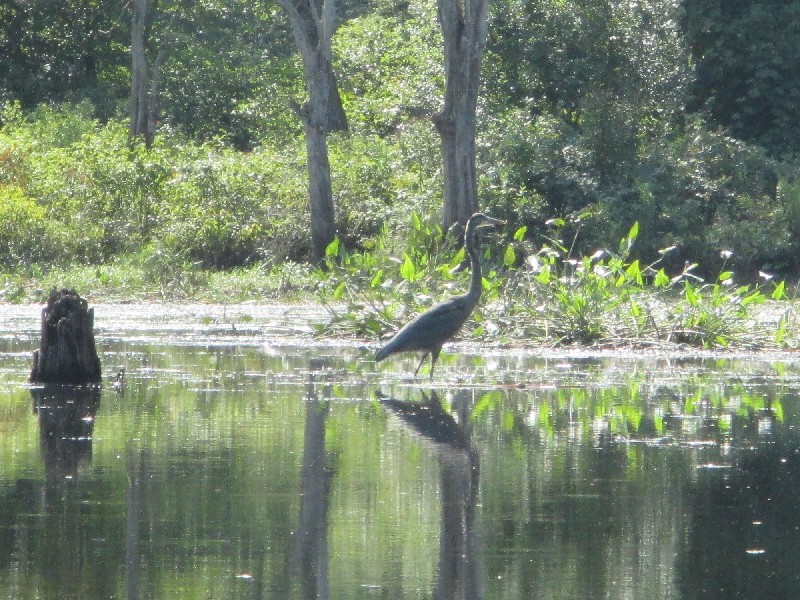 A blue heron on the Natchaug River.
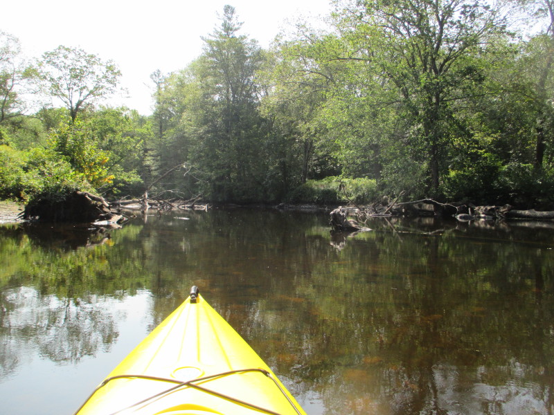
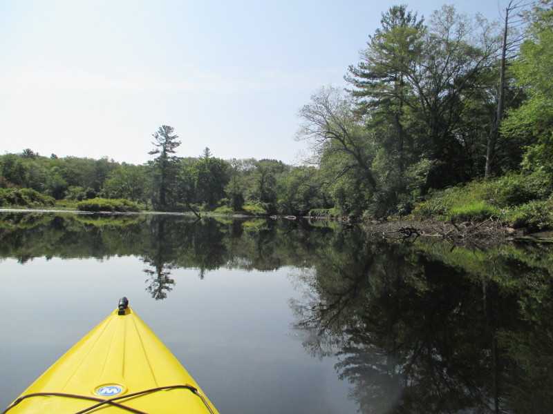
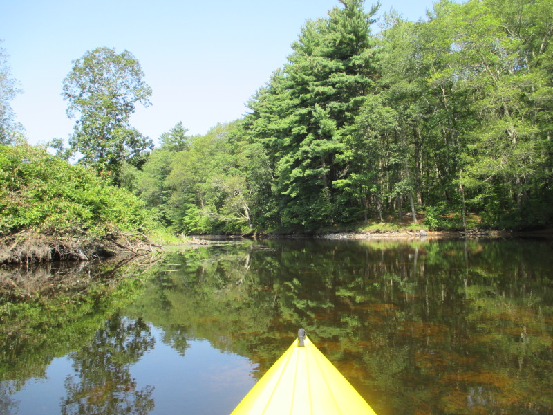
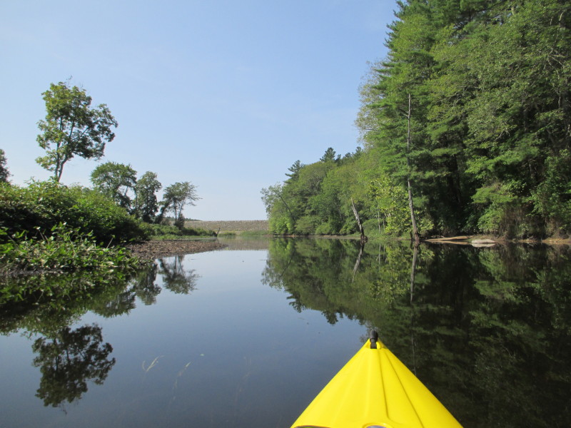
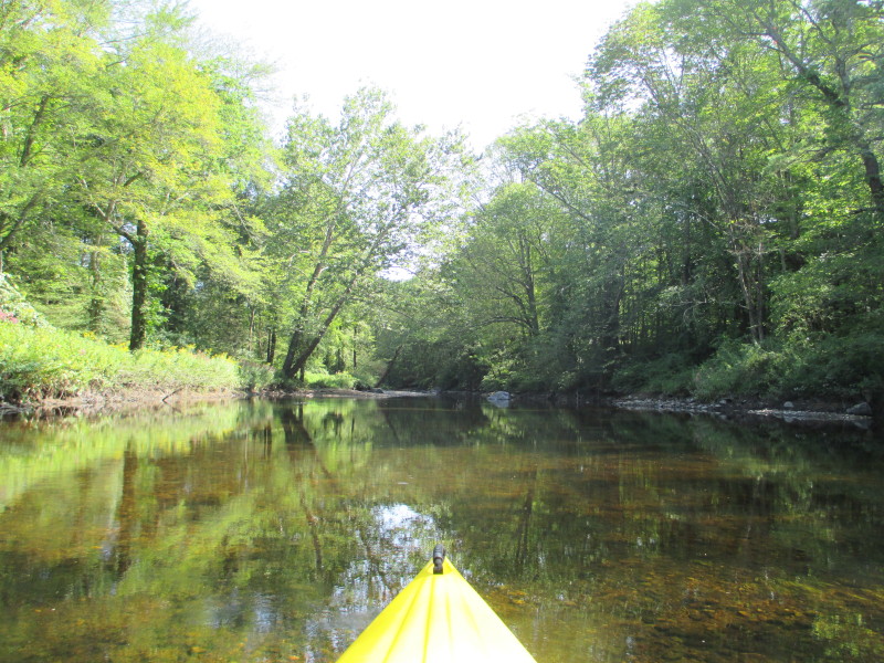 The river is very shallow at this point. Less than knee-deep.
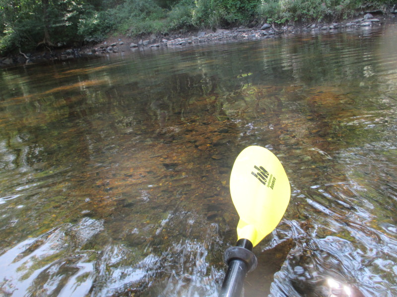 I can not paddle up any more. This is now my point of return.
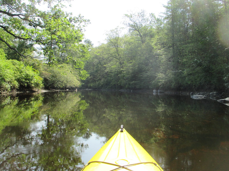
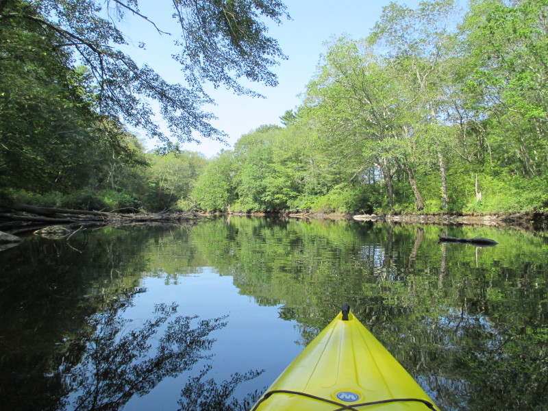
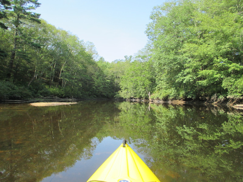
 Just turned around. I am now paddling back on the Natchaug River with the current.
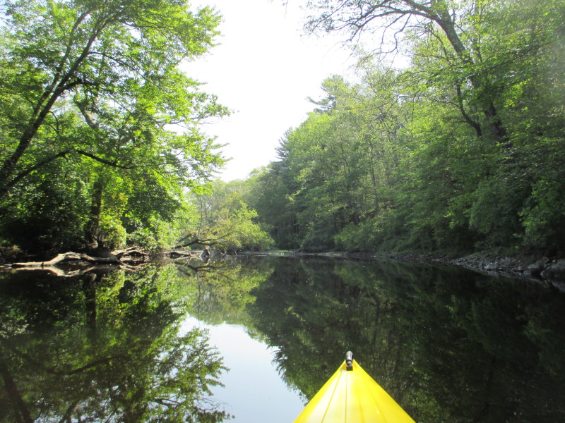
 Now I can see the stone wall.
 Bending right.
 A couple on a tandem kayak and another single kayaker on Mansfield Lake.
 From here, I have a straight vision line to the dam buoys.
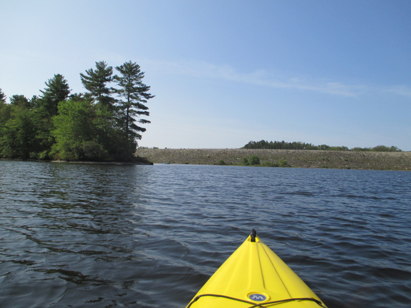
 Bending right to the main body of Mansfield Hollow Lake.
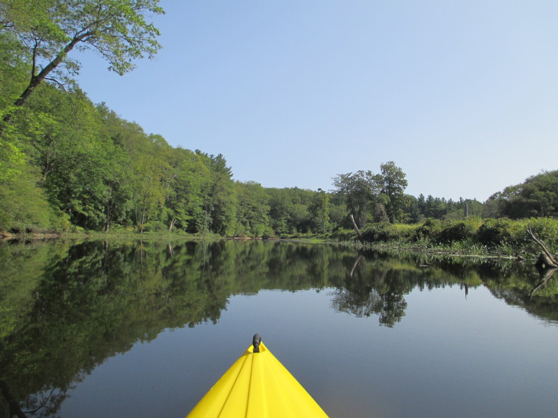
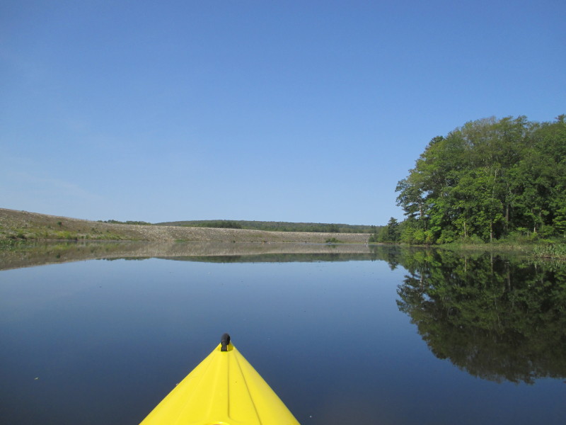
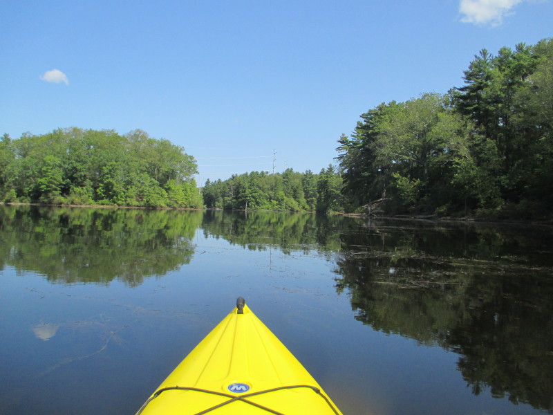
 Paddling northwards along the main channel of Mansfield Hollow Lake.
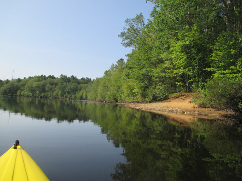
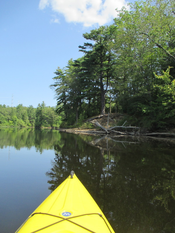
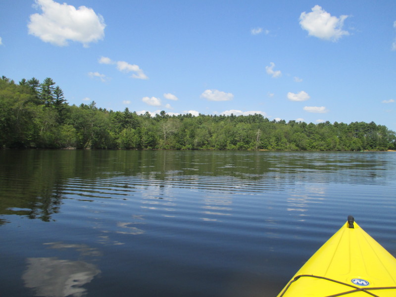
 A cove on my right.
 Same guy.
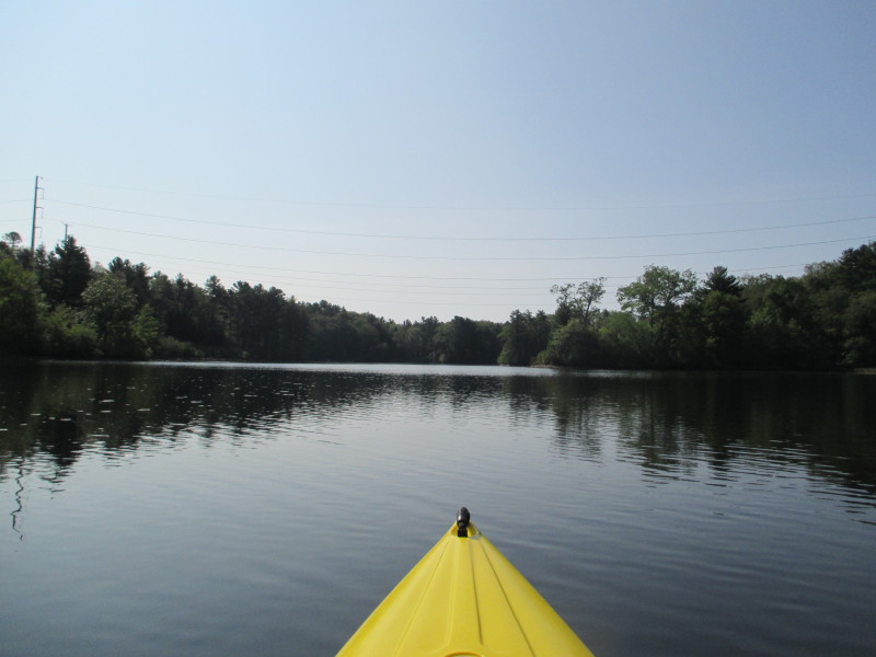
 Passing again under the buzzing power lines.
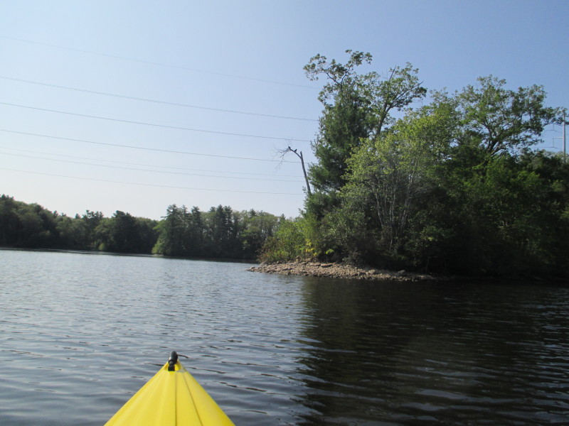
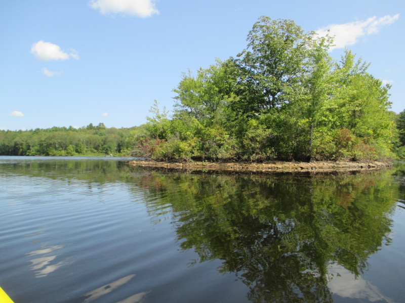 A small island on Mansfield Hollow Lake.
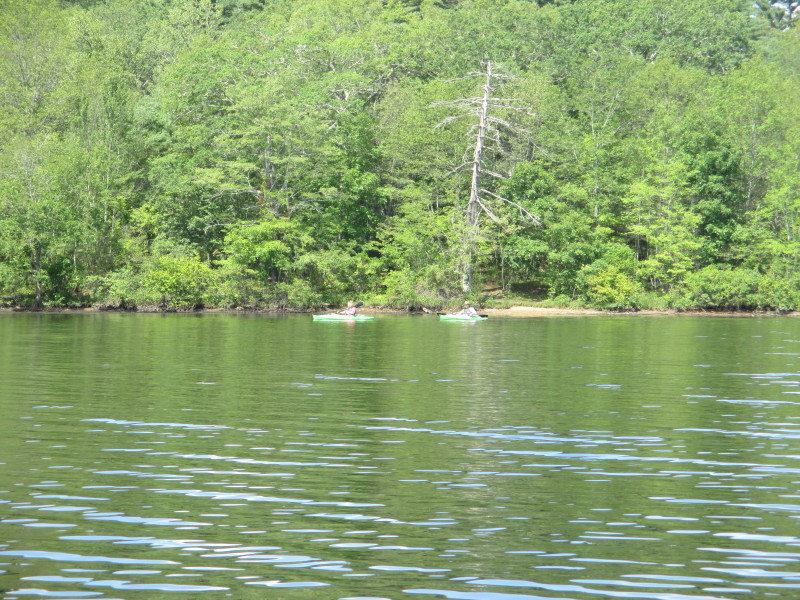 The two kayakers I spotted earlier from the parking lot.
 I can now see Bassett Bridge.
 Approaching the Bassett Bridge.
 The boat's wake.
 Under the bridge. Take out on left.
 Looking at the north basin of Mansfield Hollow Lake.
 Landed. Paddle time is 1 hour and 10 minutes.
|