 Kayaker

|


|
Download printer-friendly
PDF version that fits in one page: |

|
|
Other resources:
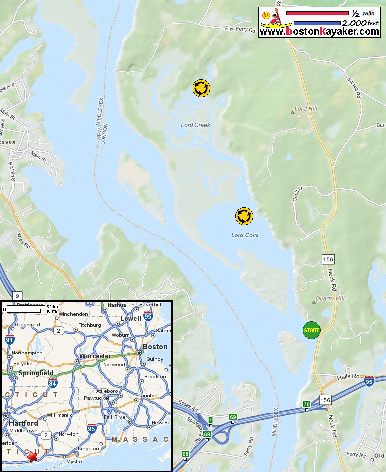
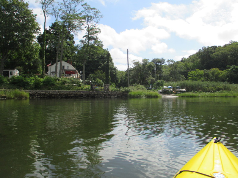
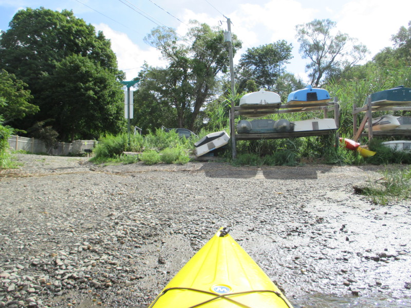
US Harbors: Tide Chart at Saybrook Point, CT All photos in this website are original and copyrighted. 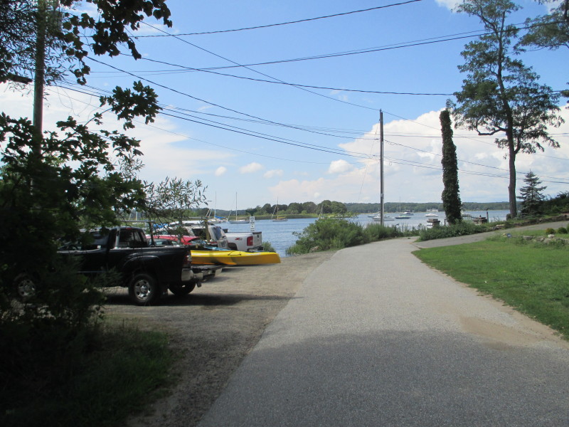 At the put in to Lord Cove at Pilgrim Landing Road in Old Lyme CT.
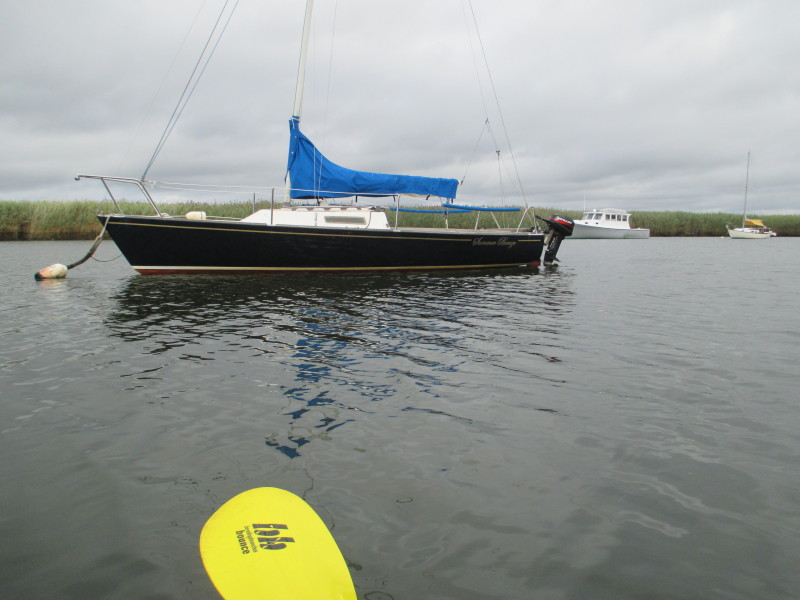
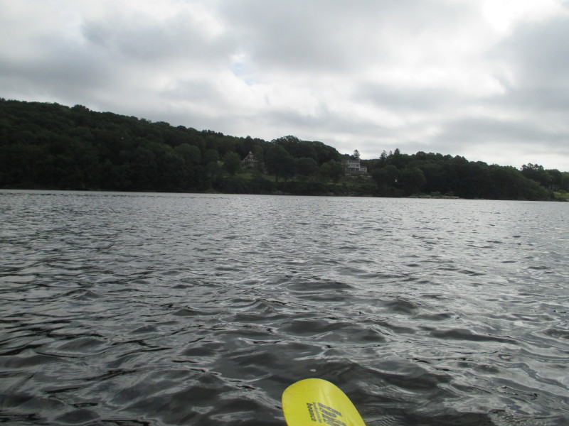
Trip date is August 2016. 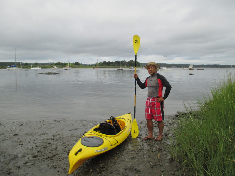 The Boston Kayaker at the banks of Lord Cove.
It was 4 hours+ before high tide . . . 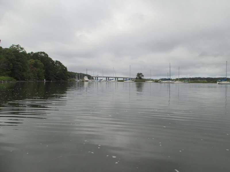 To the left of the launch is the I-95 bridge over the Connecticut River.
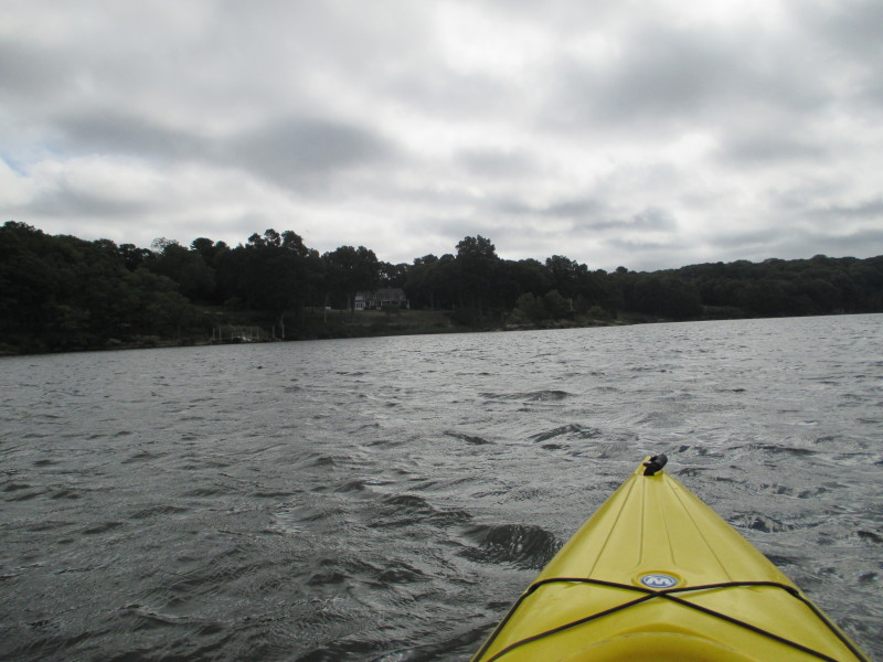
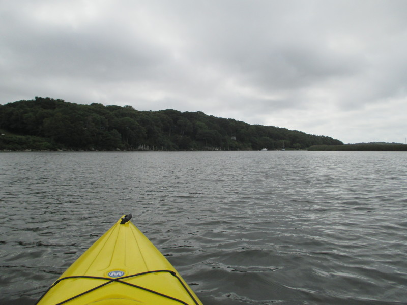
 The Boston Kayaker just launched into Lord Cove.
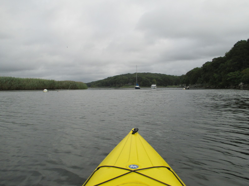
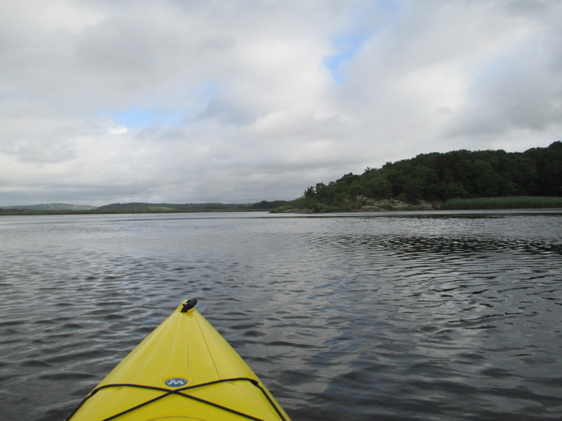
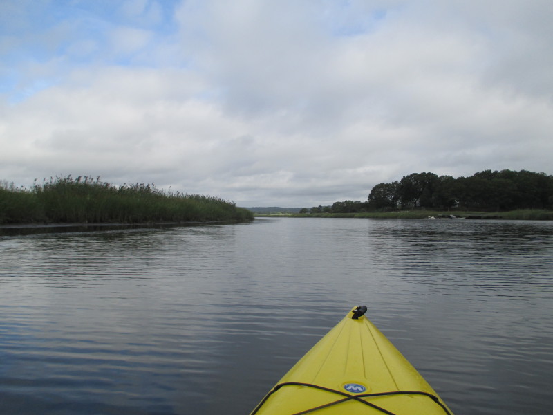
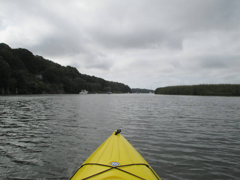
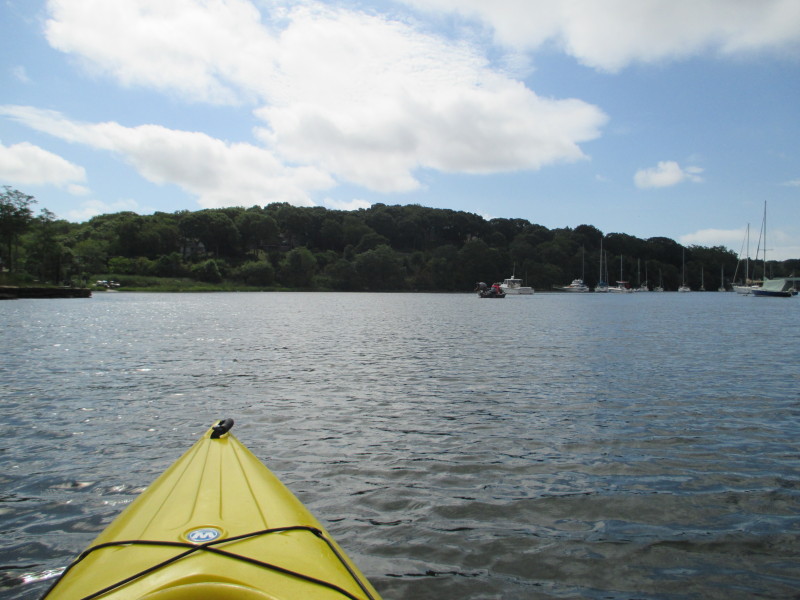
 Veering to the right northwards.
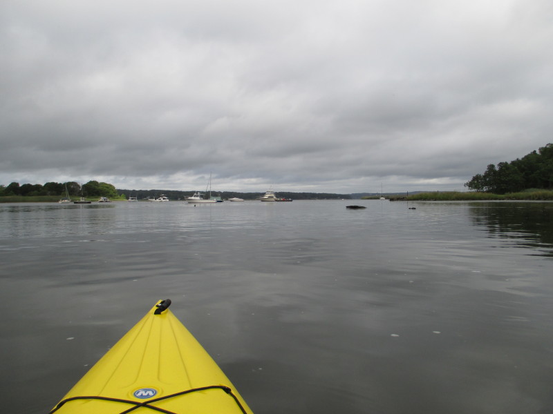
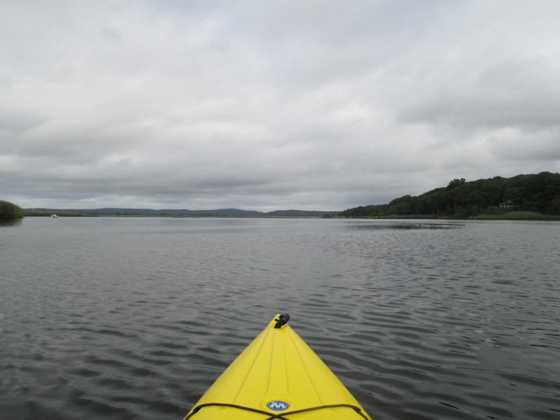
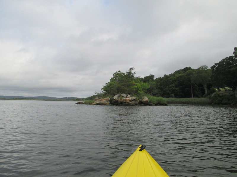
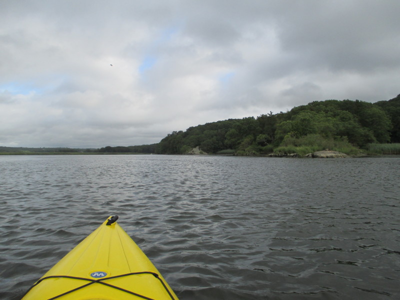
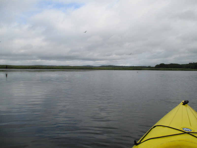
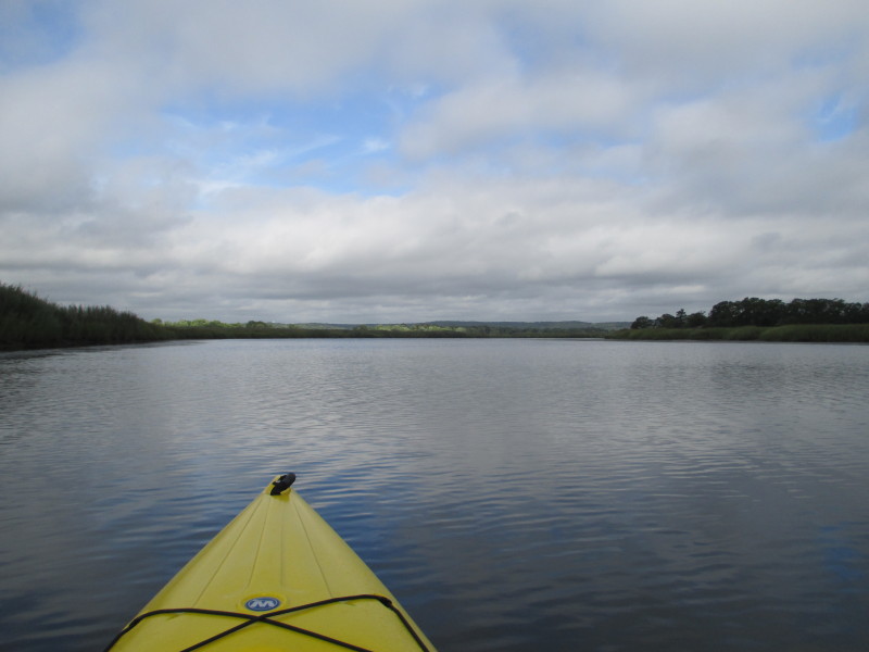
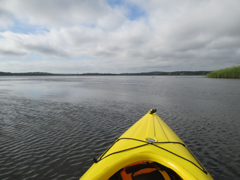
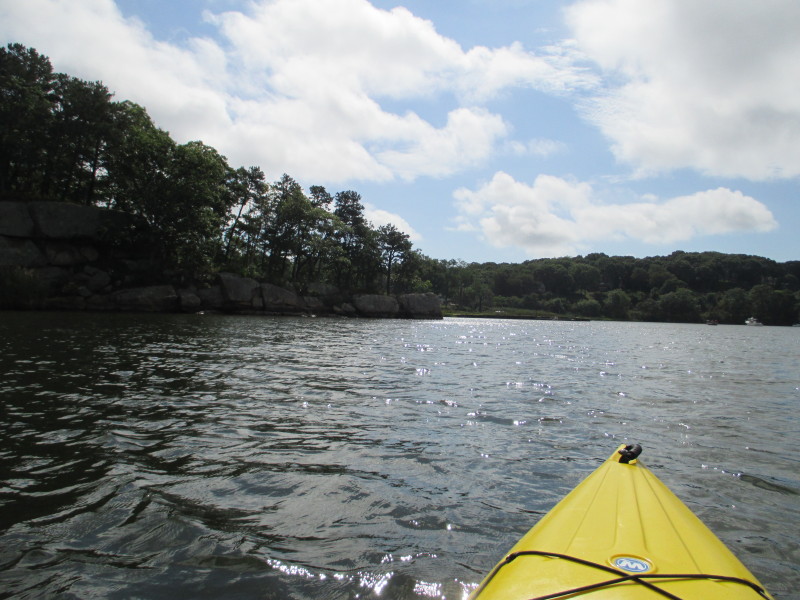
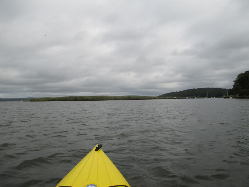 On the left end of the picture is the Connecticut River.
An island in the middle.
On the left end of the picture is the Connecticut River.
An island in the middle.
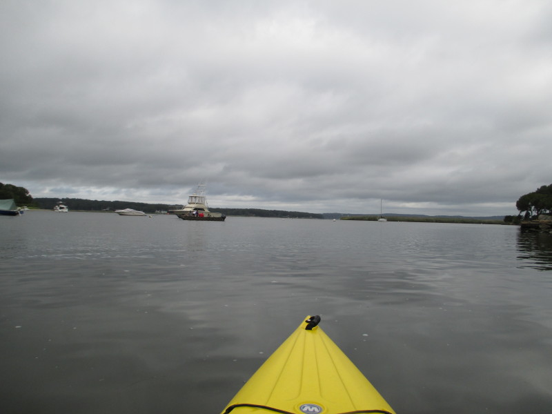
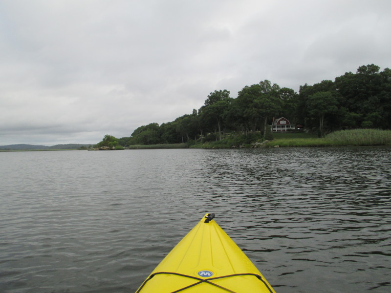
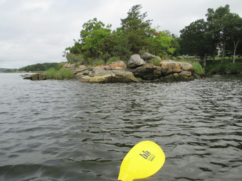
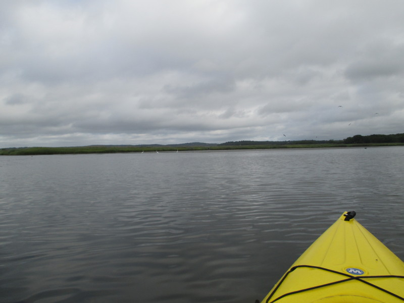
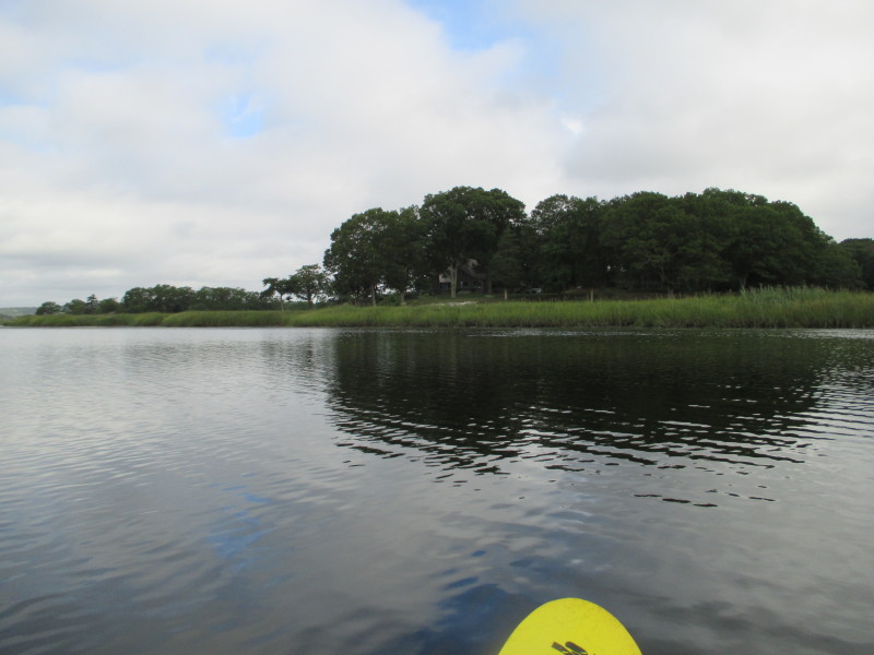
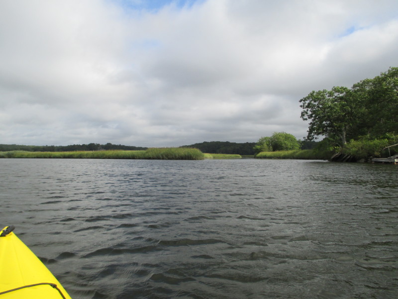
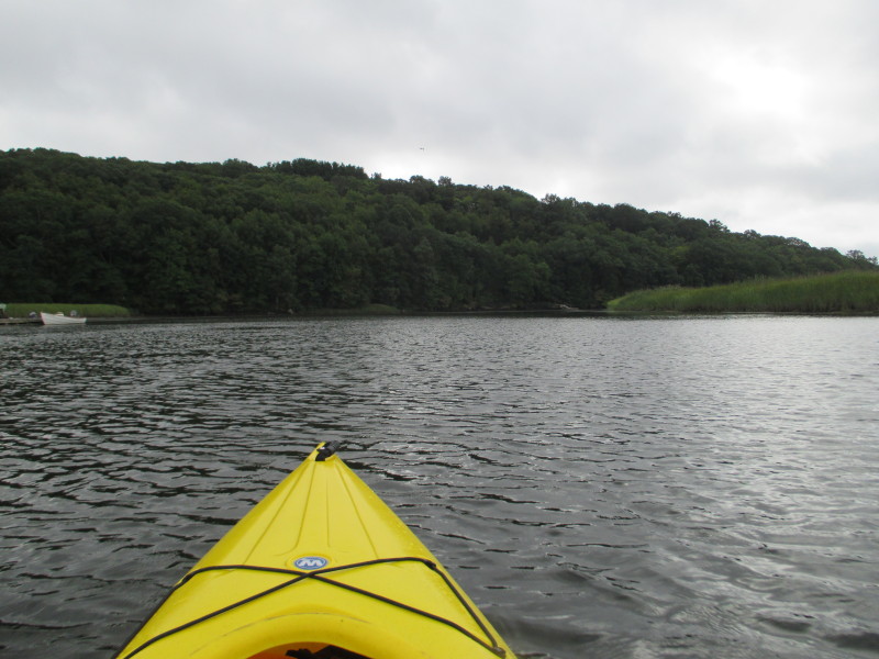
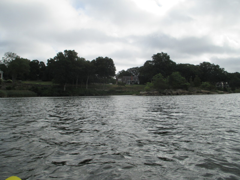
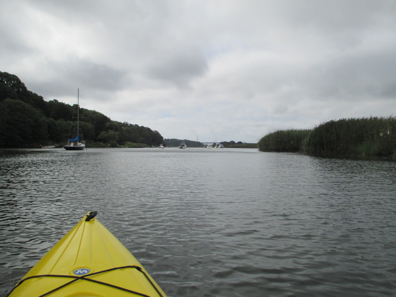
At right of picture is Lord Cove. 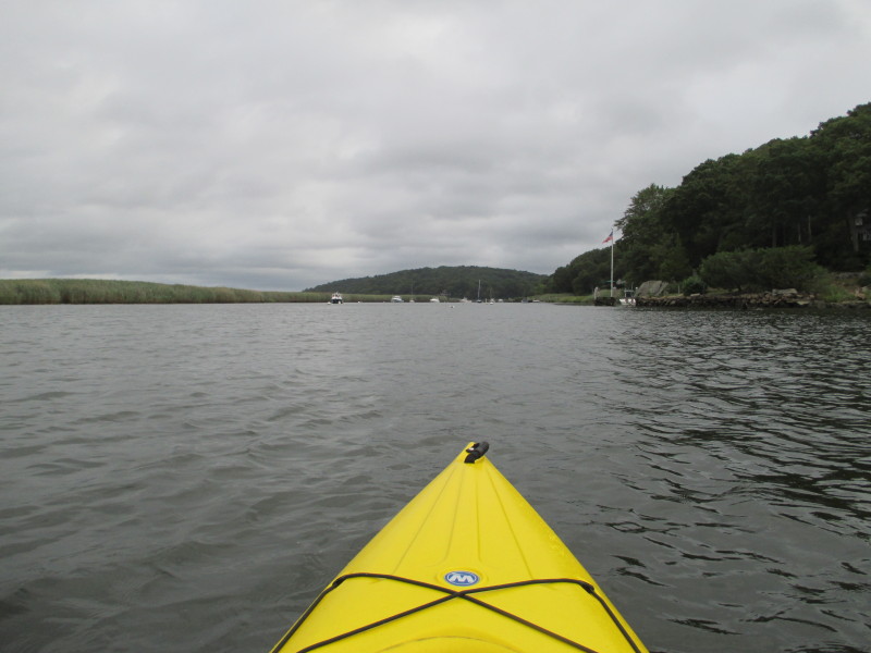 Veering right to the rest of Lord Cove.
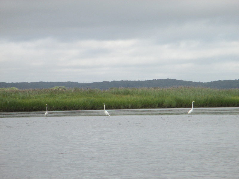 At my left, a trio of white herons on Lord Cove.
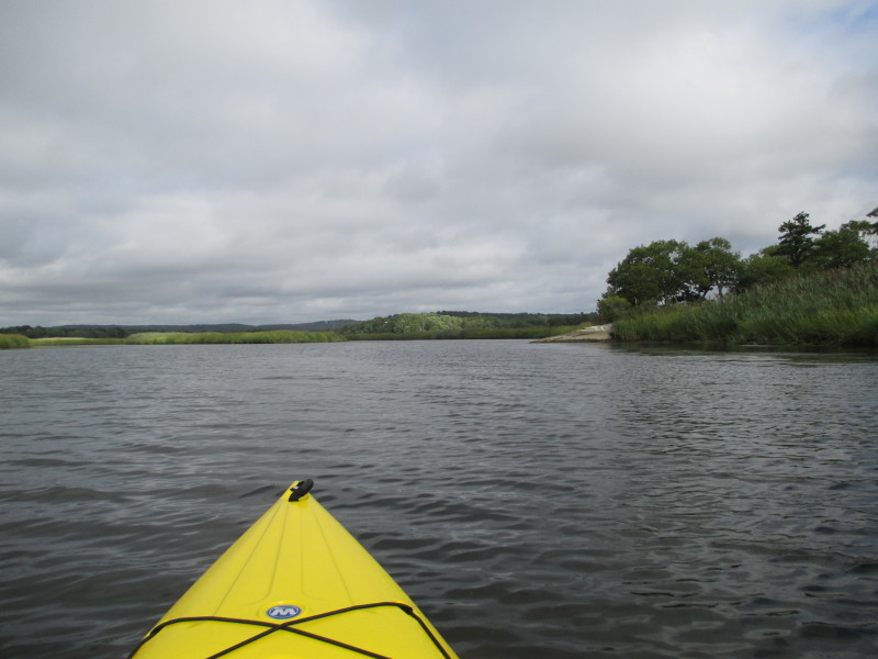
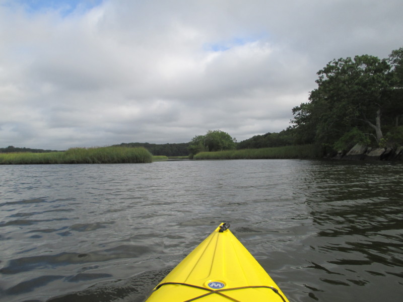
 To my left is a branch of Lord Cove. Will stick to the main branch
and keep the Lord Cove's eastern shore on my right.
To my left is a branch of Lord Cove. Will stick to the main branch
and keep the Lord Cove's eastern shore on my right.
 I got to this point where it became swampy and not sure anymore where is the main stem.
 Just turned around and now paddling south to where I came from.
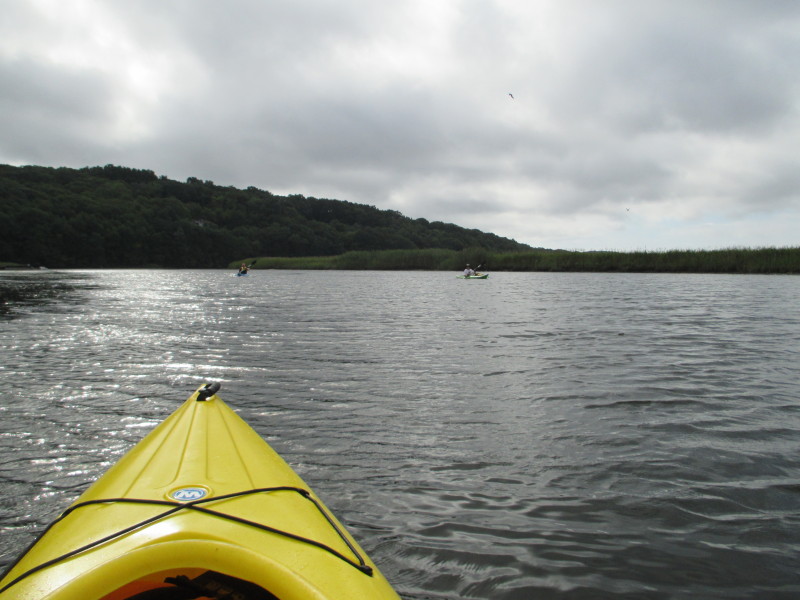 A couple of kayakers on Lord Cove.
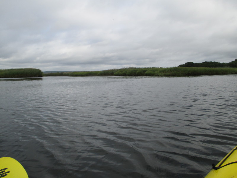
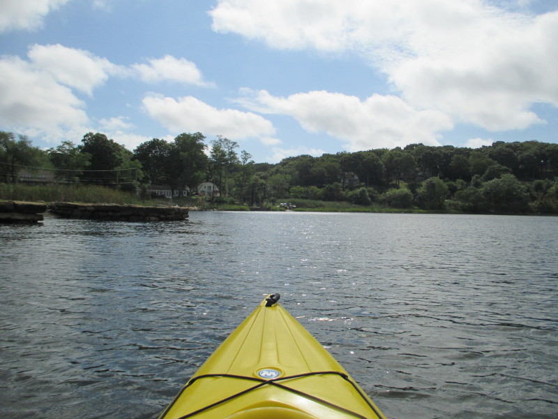
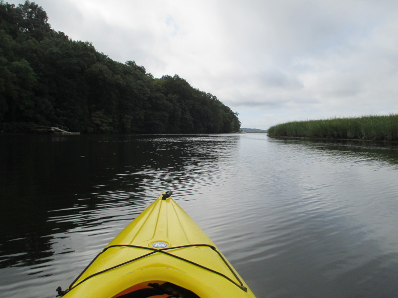 The narrow channels of Lord Cove makes it river-like.
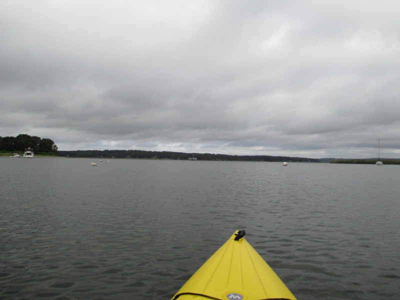
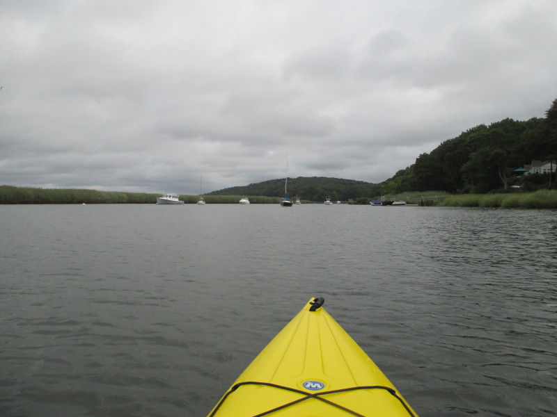
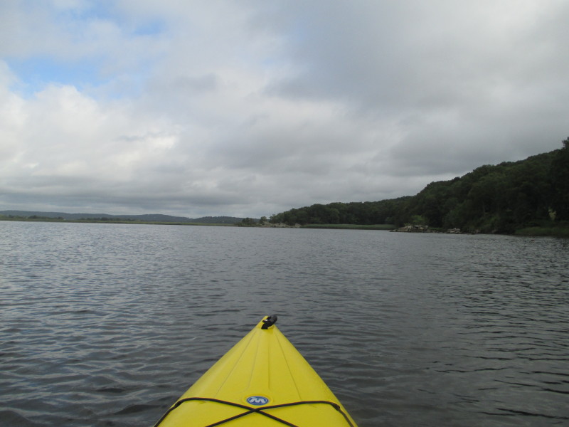
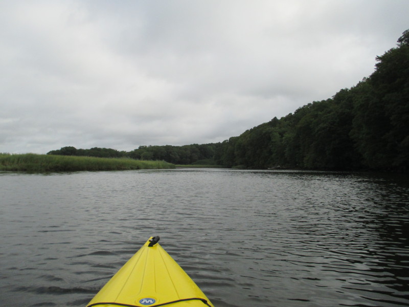
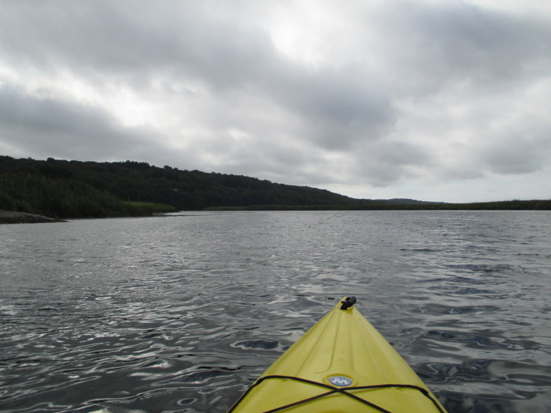
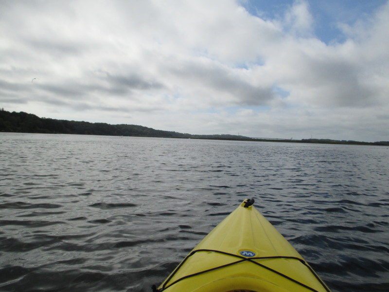
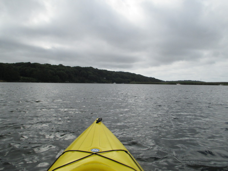
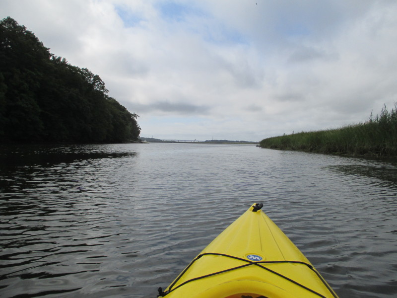 I can now see the I-95 bridge.
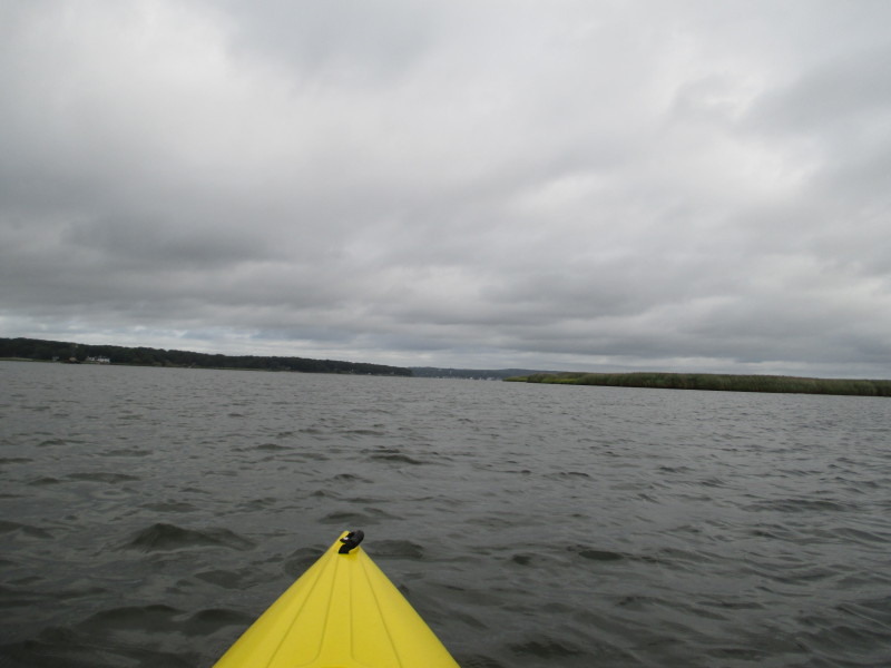
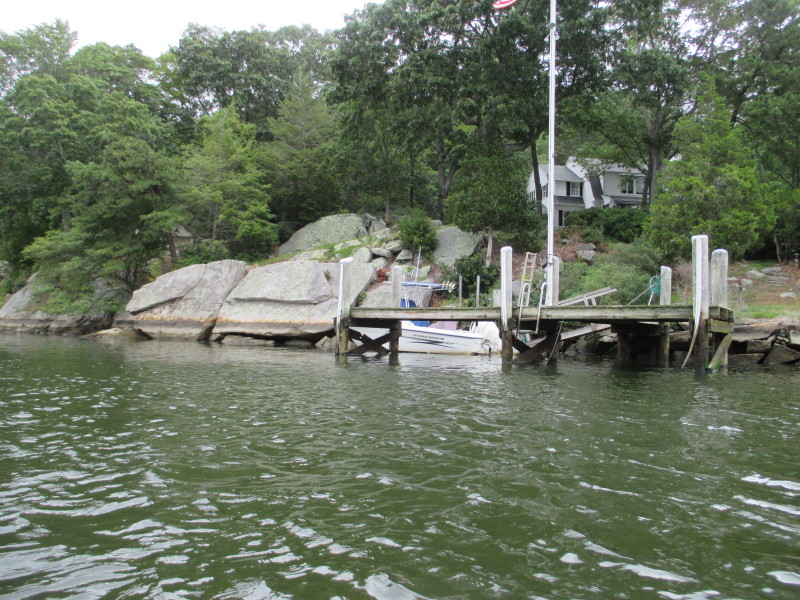
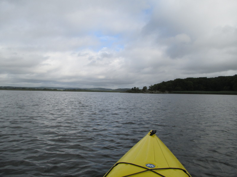
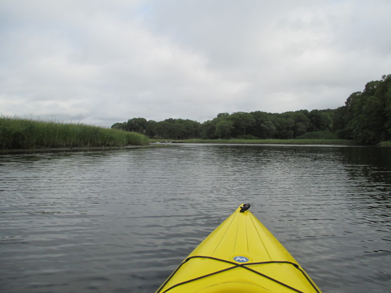
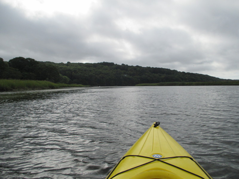
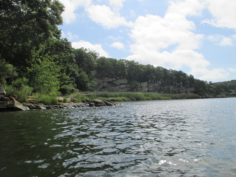
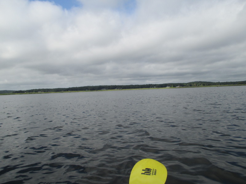 To my right is the western shore of Connecticut River.
 Landed. Paddle time is 1 hour and 32 minutes.
|