|
Download printer-friendly
PDF version that fits in one page: |
Other resources:
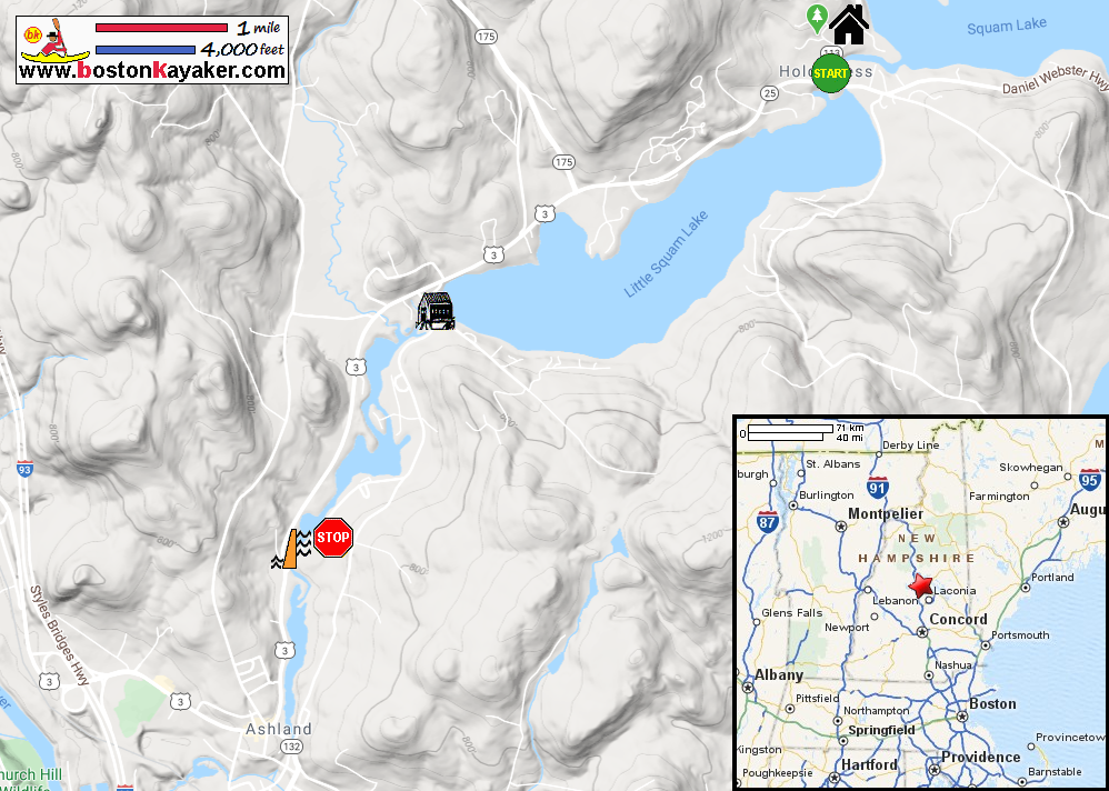
NH Govt: Squam Lakes Bathymetry Map NH Govt: Squam Lakes Bathymetry Map (cached copy) Squam Lakes Natural Science Center (will open in another window) All photos in this website are original and copyrighted. At the public ramp on Route 113 in Holderness NH. Trip date is June 2020. The Boston Kayaker launching on Squam Lake. The Boston Kayaker's wife. She will get me at the takeout later . . . From the launch ramp, I turned right towards Little Squam Lake. Approaching the center of Holderness where the Route 3 bridge goes over the Squam River. Paddling under the Route 3 bridge over the Squam River. Entering Little Squam River. I will follow the shoreline on my right . . . Green mountains on the south side of Little Squam Lake. A waterfront house under construction. Looking to my left. I can now see the covered bridge. Approaching the covered bridge. Now entering the Squam River, outlet of the Squam Lakes. I can now see the buoys of the Squam River Dam. Take is on left just before that. Paddle time is 1 hour 2 minutes. |