 Kayaker

|


|
Download printer-friendly
PDF version that fits in one page: |

|
|
Other resources:
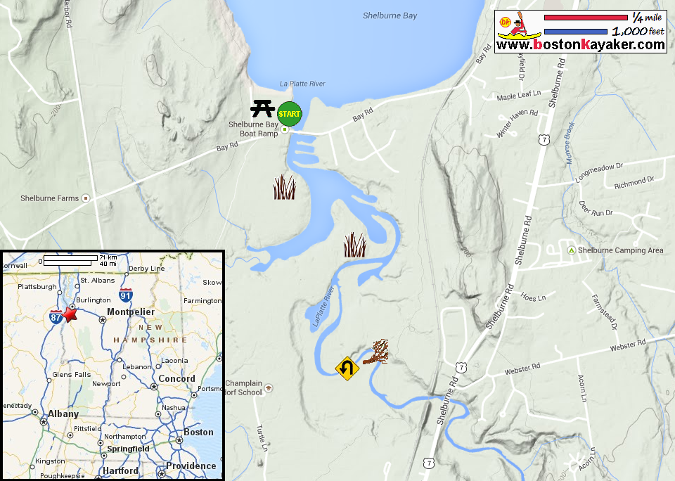
VT Govt.: Shelburne Bay State Ramp Town of Shelburne VT: Exploring Shelburne Bay (pdf) Town of Shelburne VT: Exploring Shelburne Bay (cached copy) Shelburne River Park Guide (pdf) Shelburne River Park Guide (cached copy) La Platte River Marsh Natural Area All photos in this website are original and copyrighted. 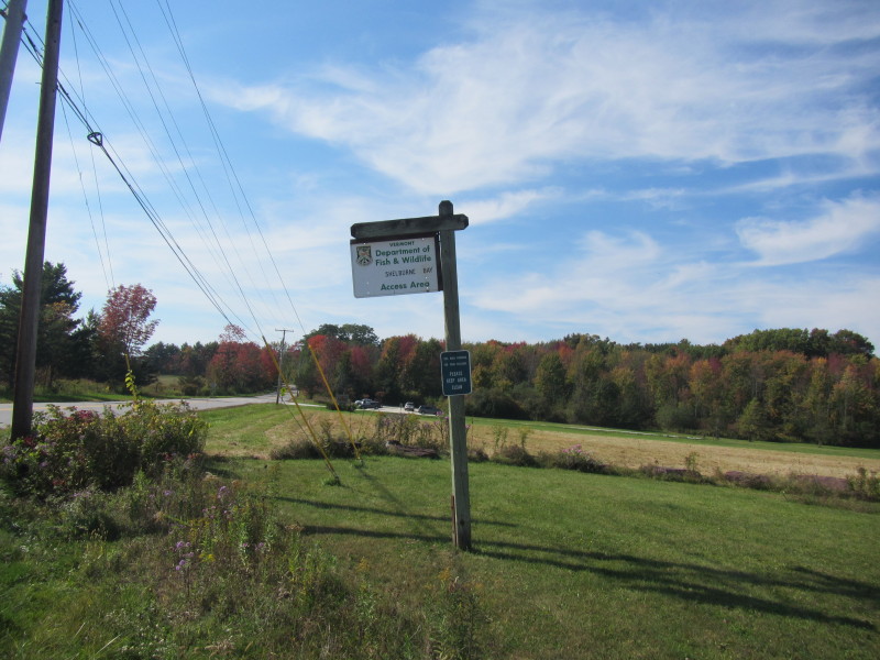 At Shelburne Bay / La Platte River launch on Bay Road in Shelburne VT.
Trip date is September 2014. 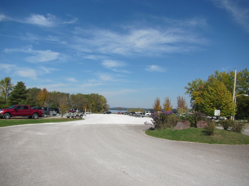 The launch and parking area to Shelburne Bay and La Platte River.
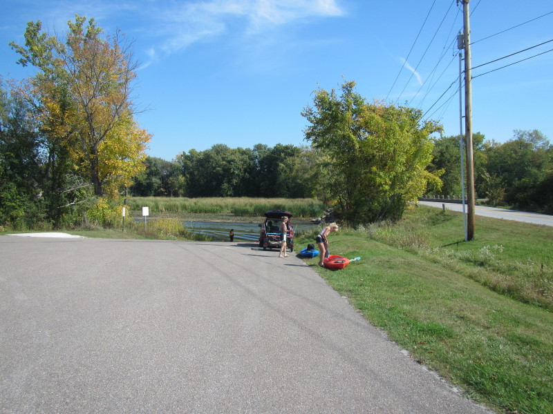
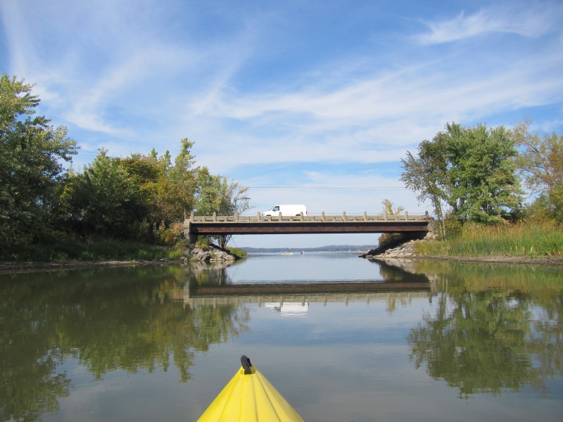
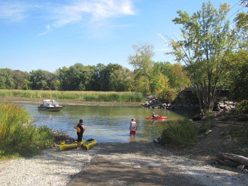 The put in for hand-carried boats is next to Bay Road bridge.
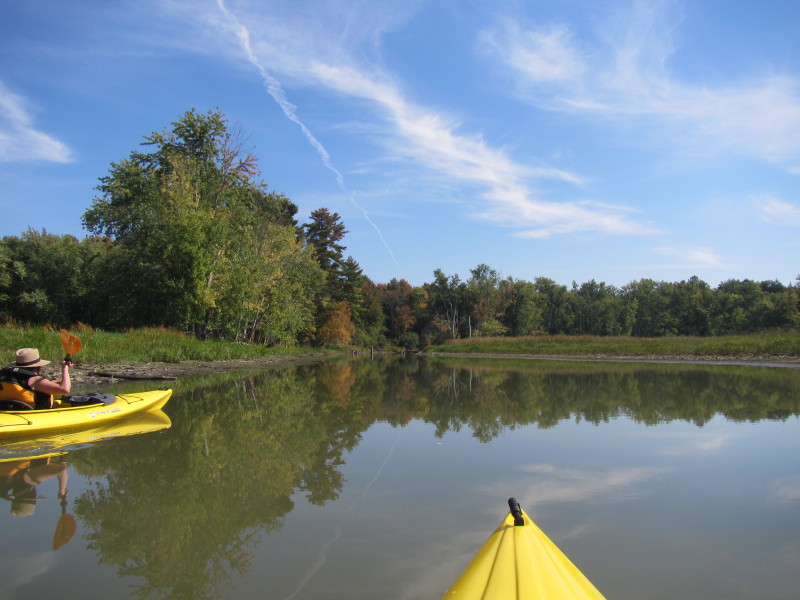
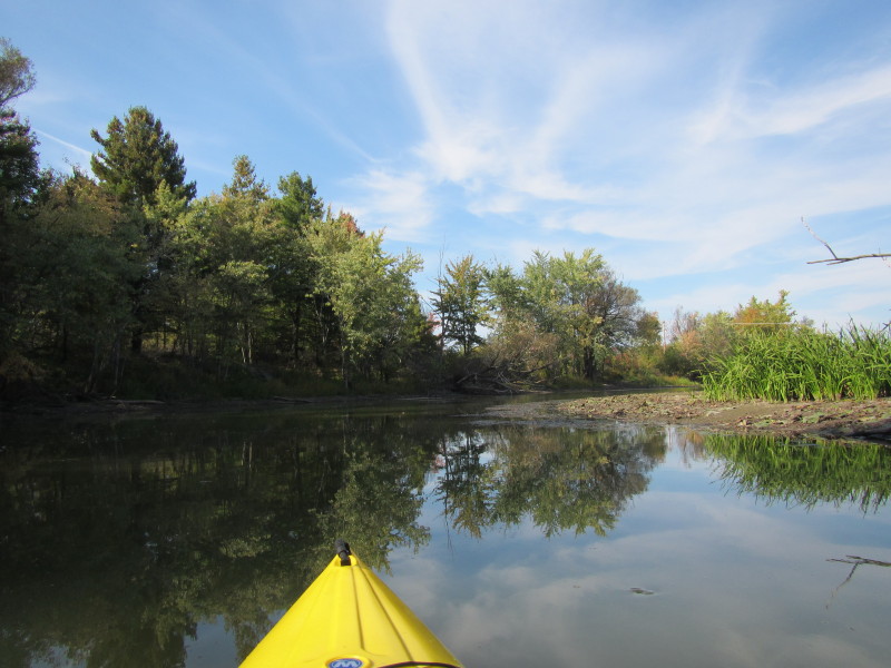
 The Boston Kayaker just launched on La Platte River.
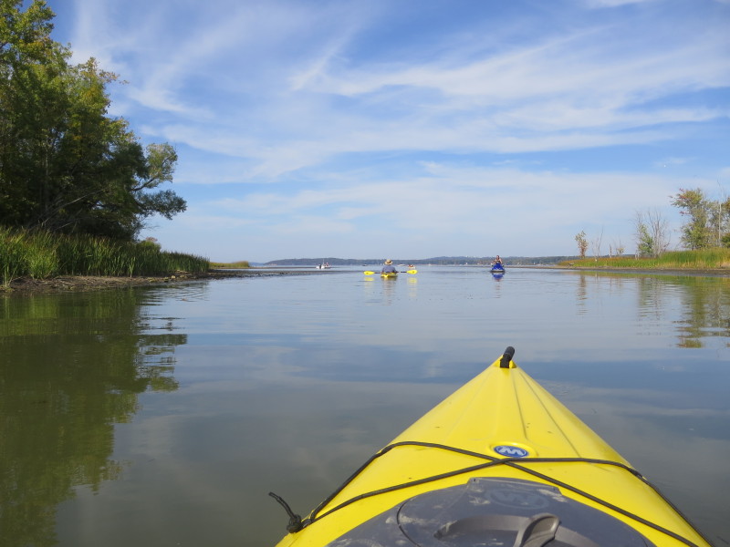
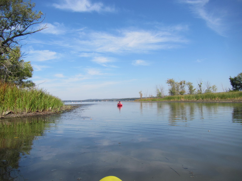 Looking to my left, the Shelburne Bay.
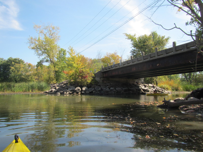
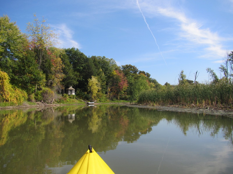
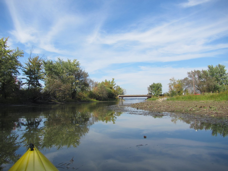
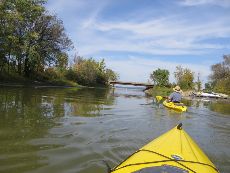
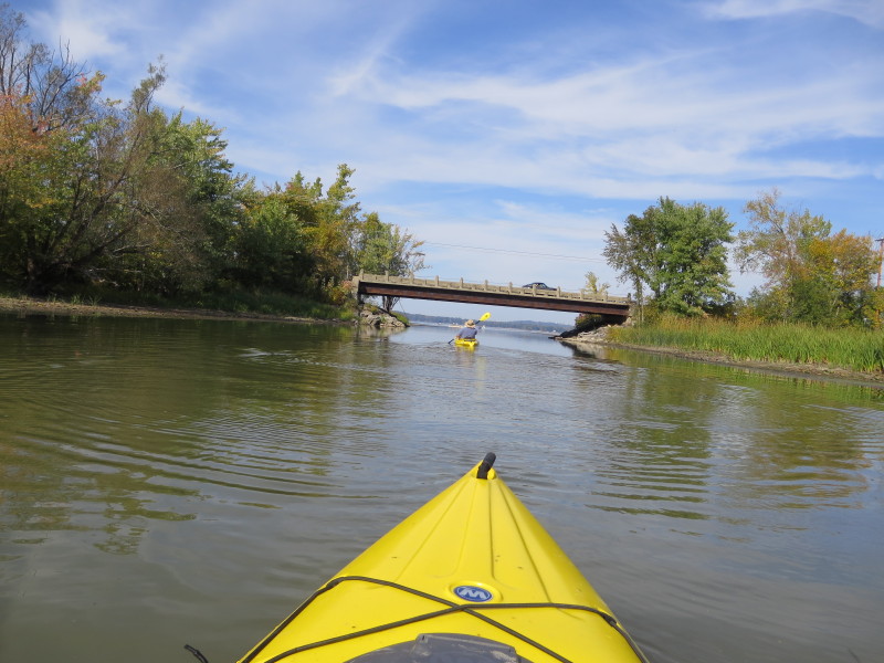
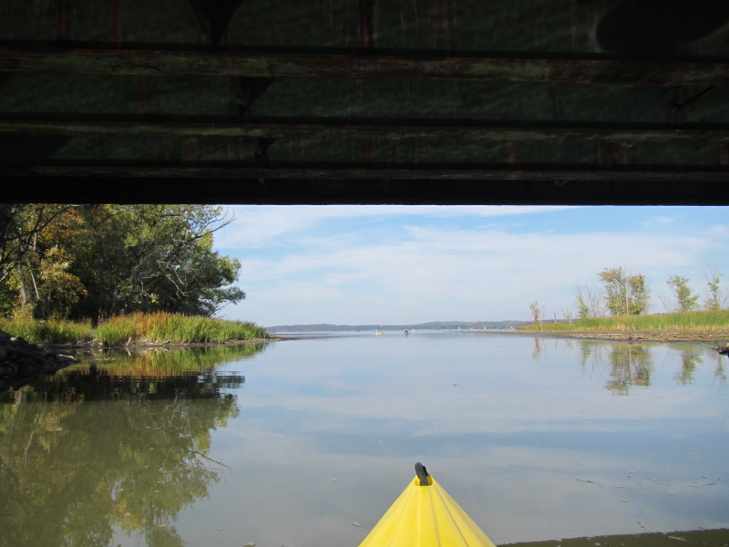
 Paddling to my right under the bridge and into La Platte River.
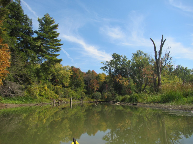
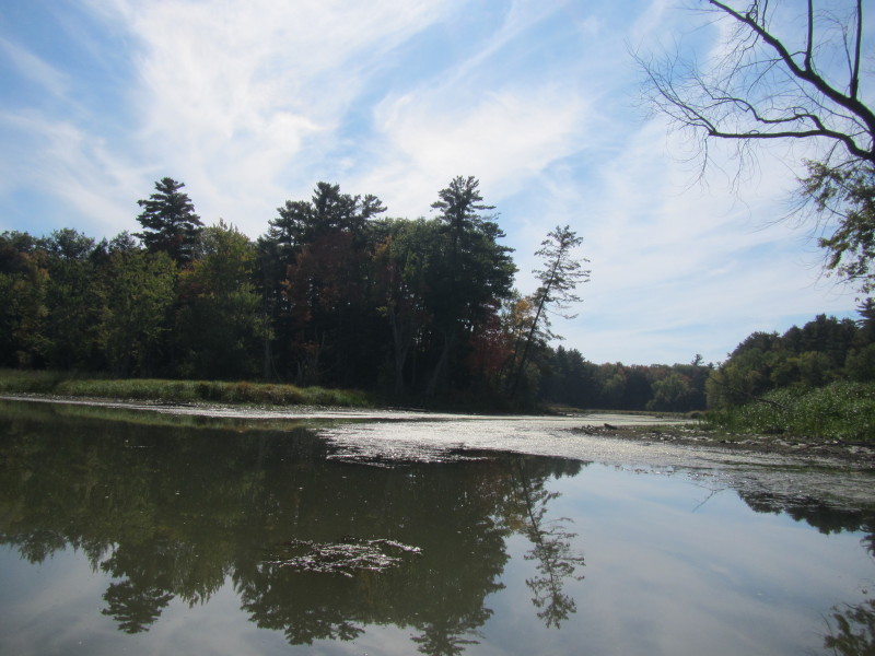 To my right is a marsh area that is too shallow to paddle today.
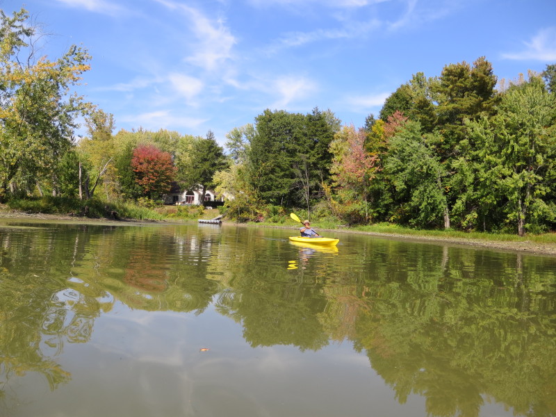
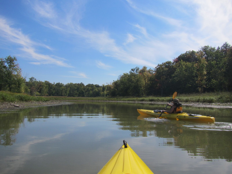
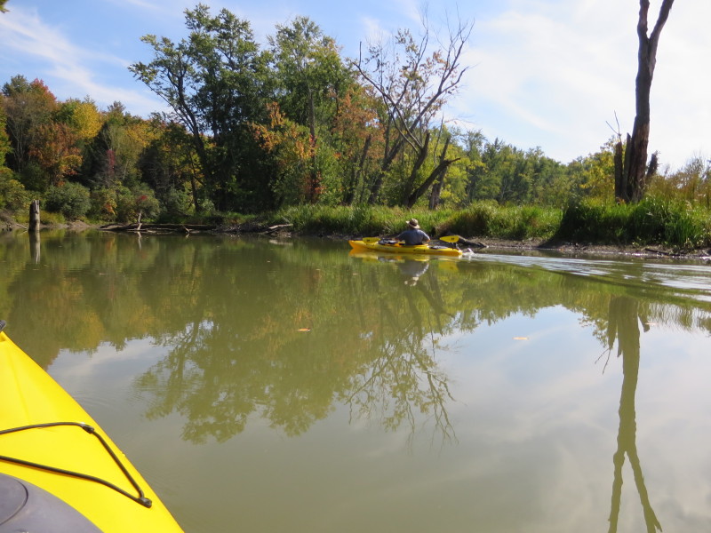
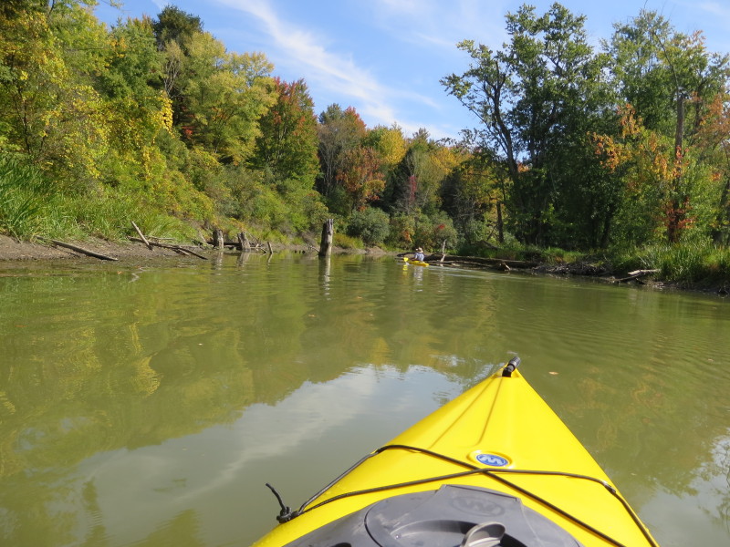

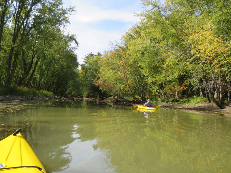
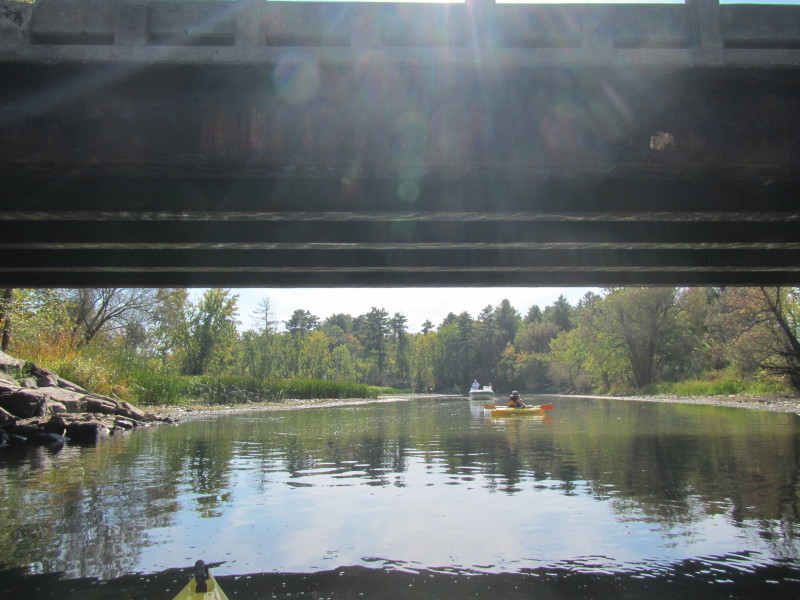
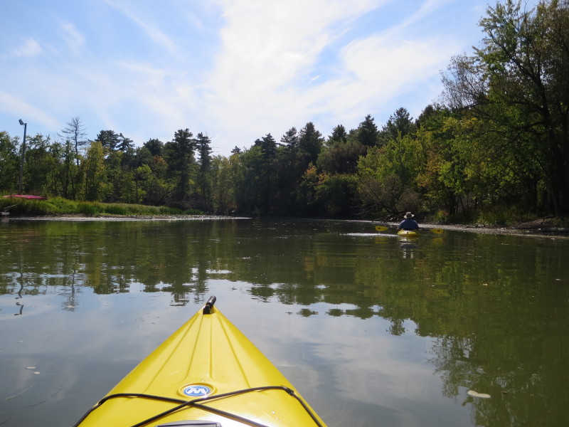
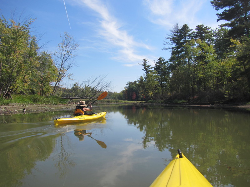
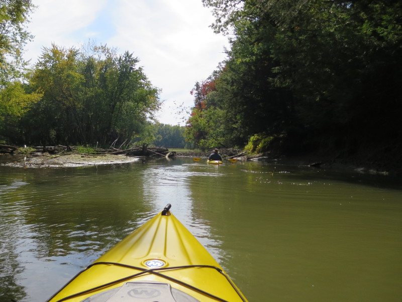
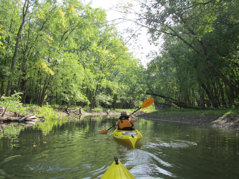
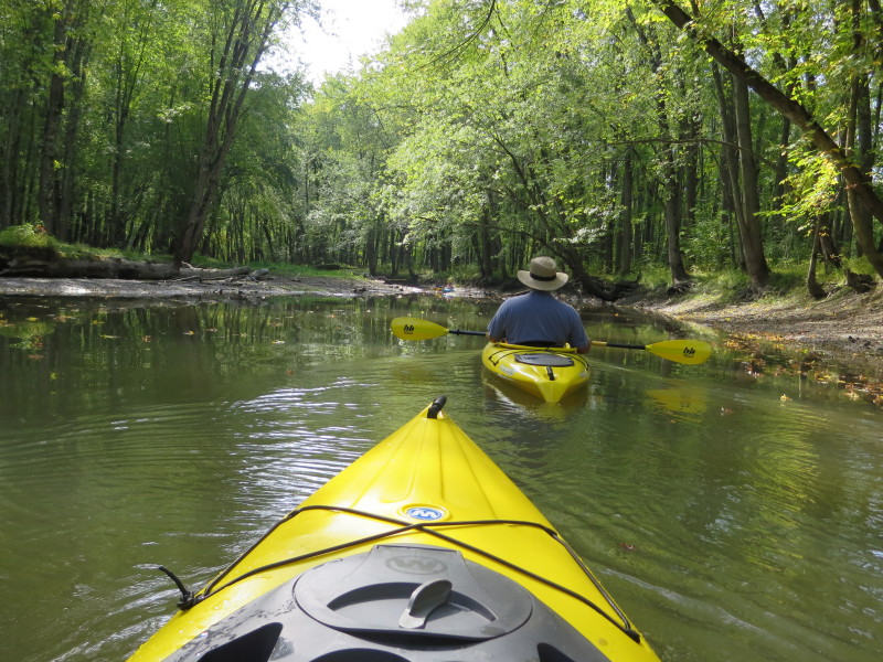
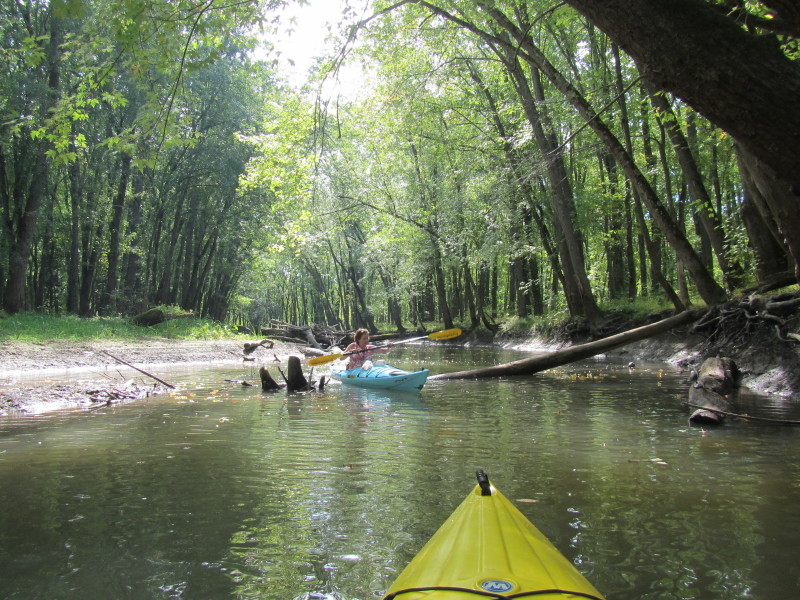
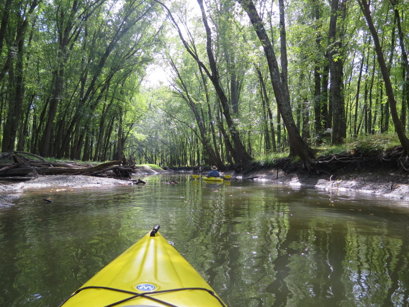
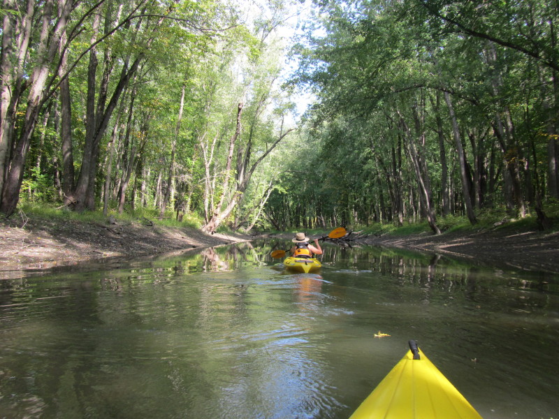
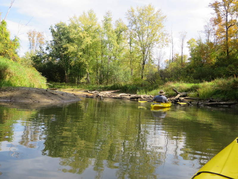
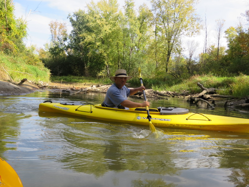
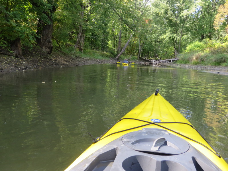
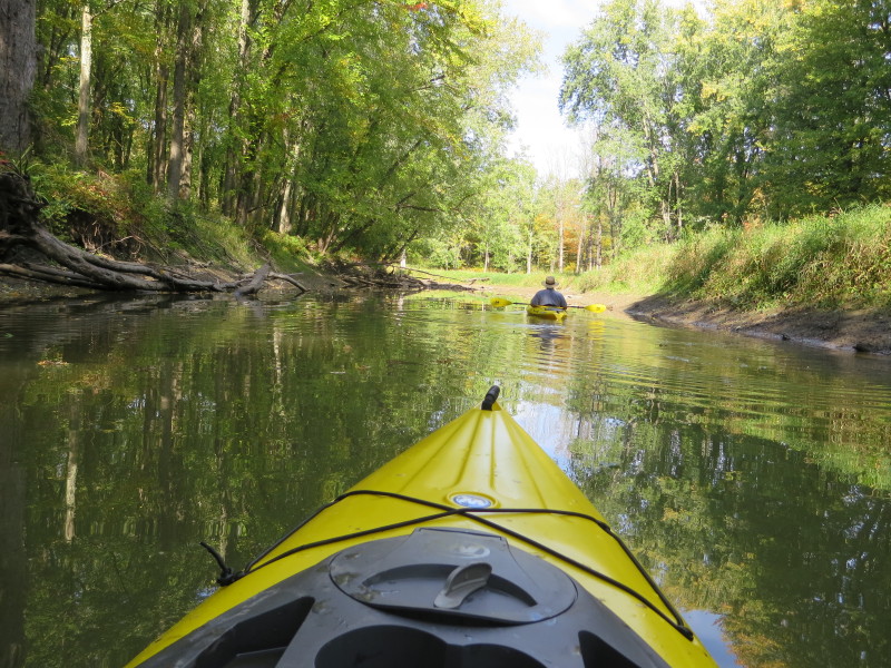
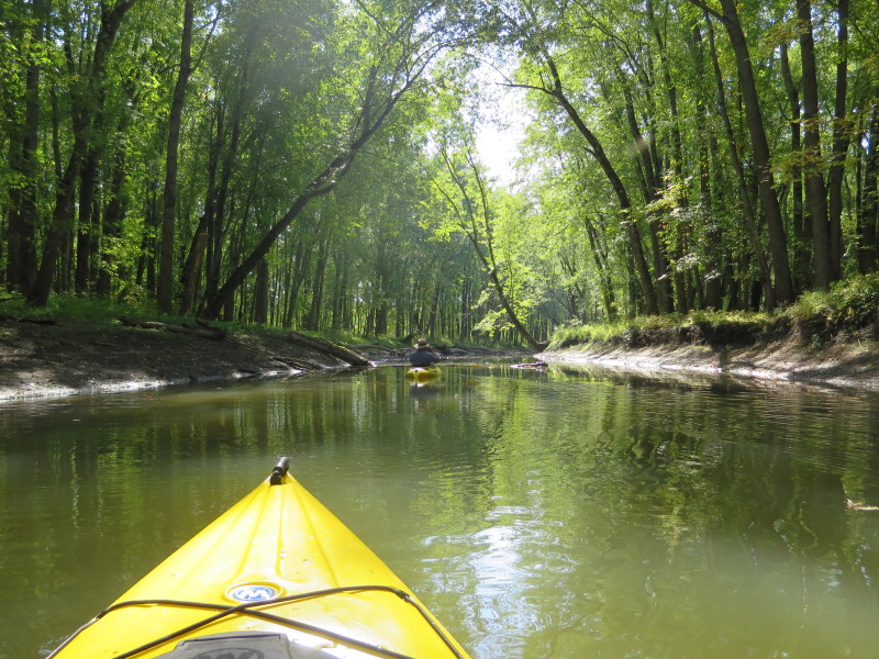
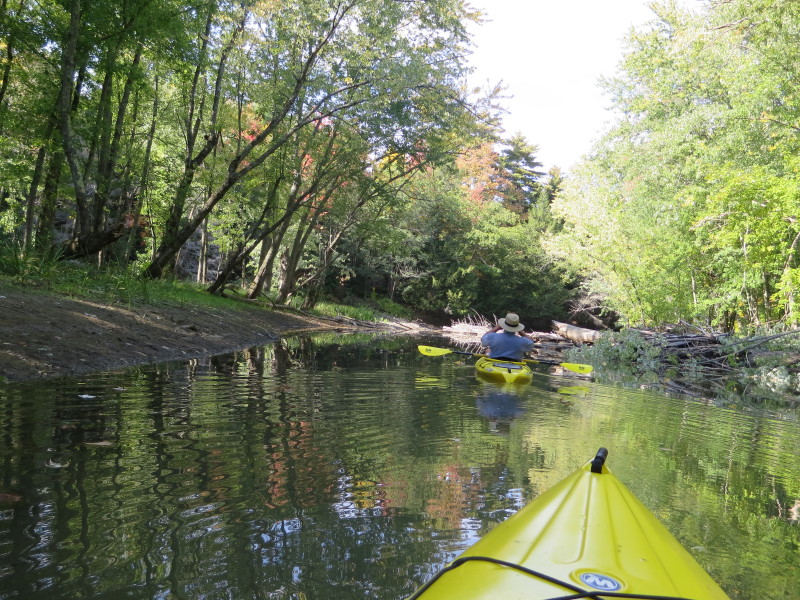
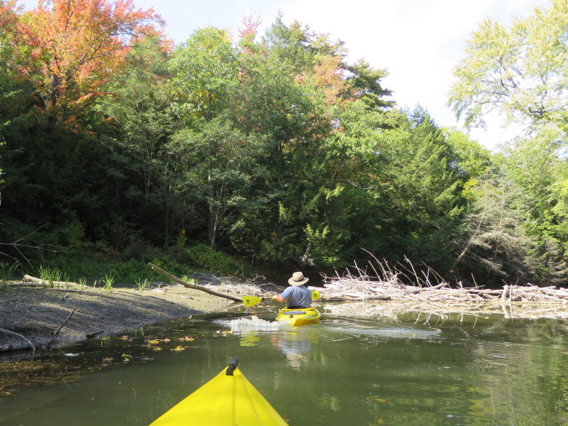
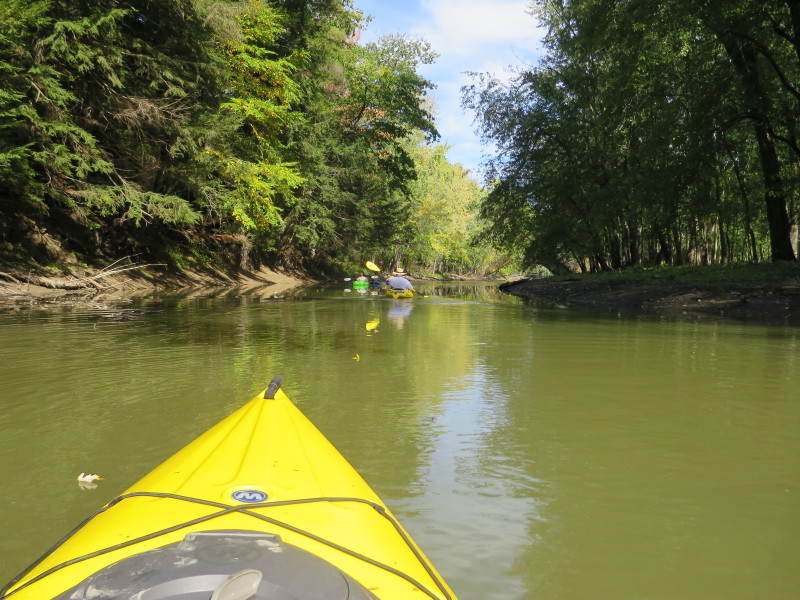
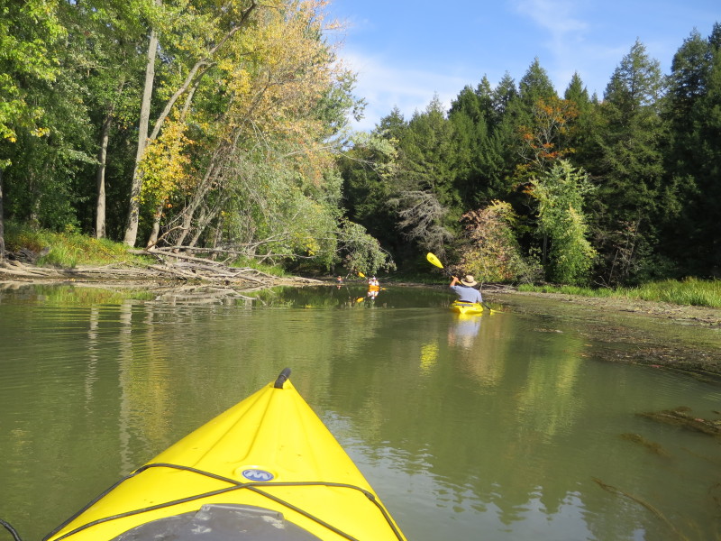
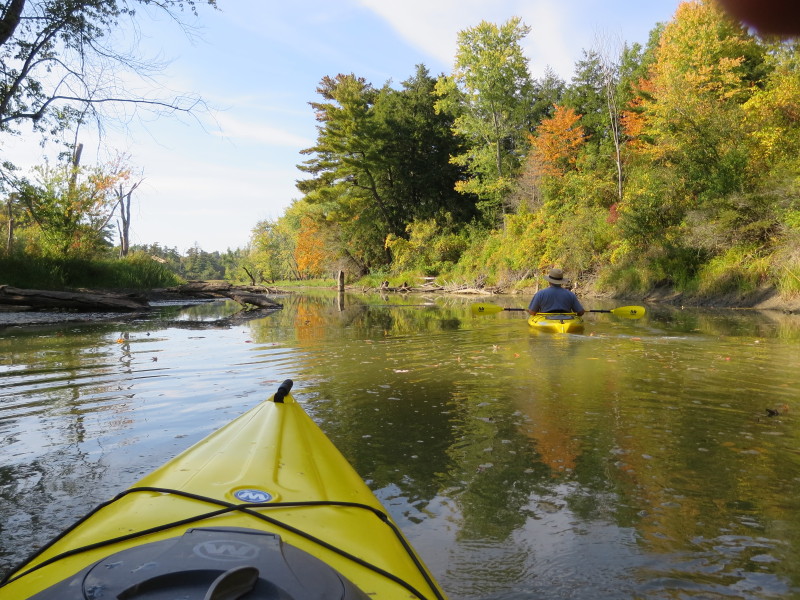
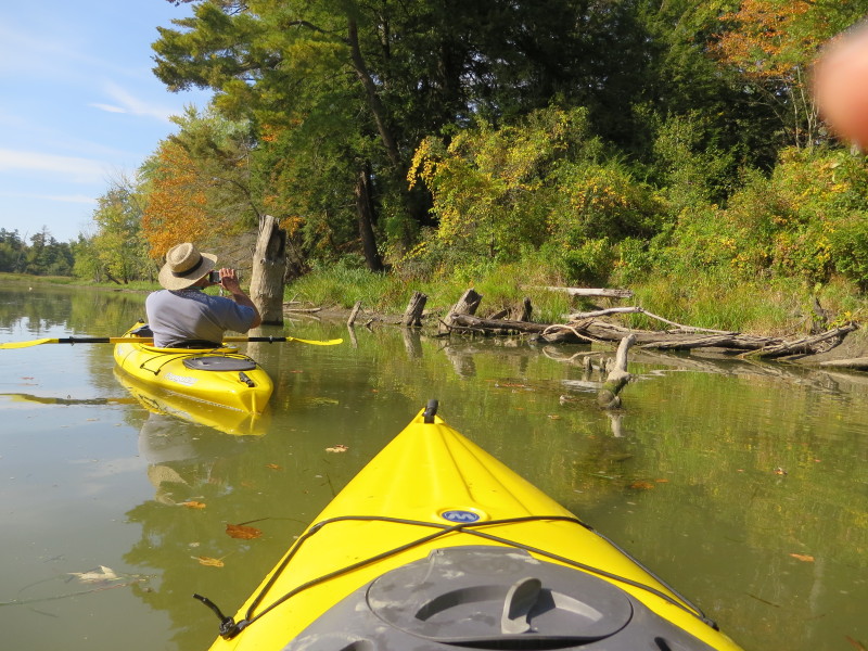
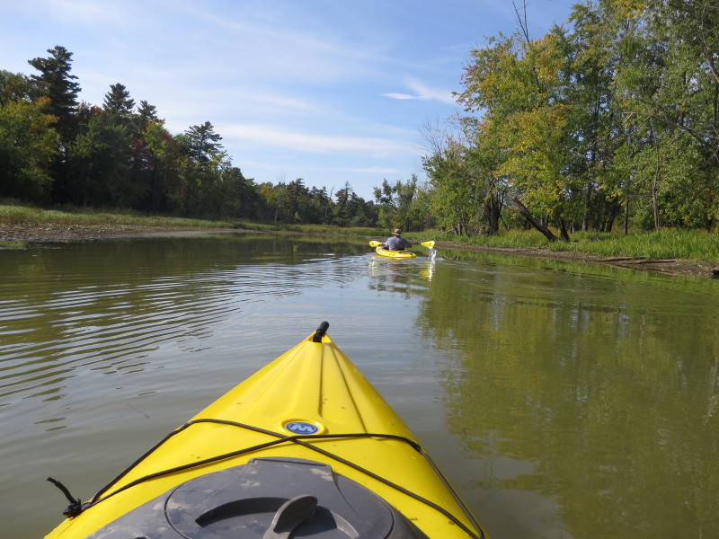
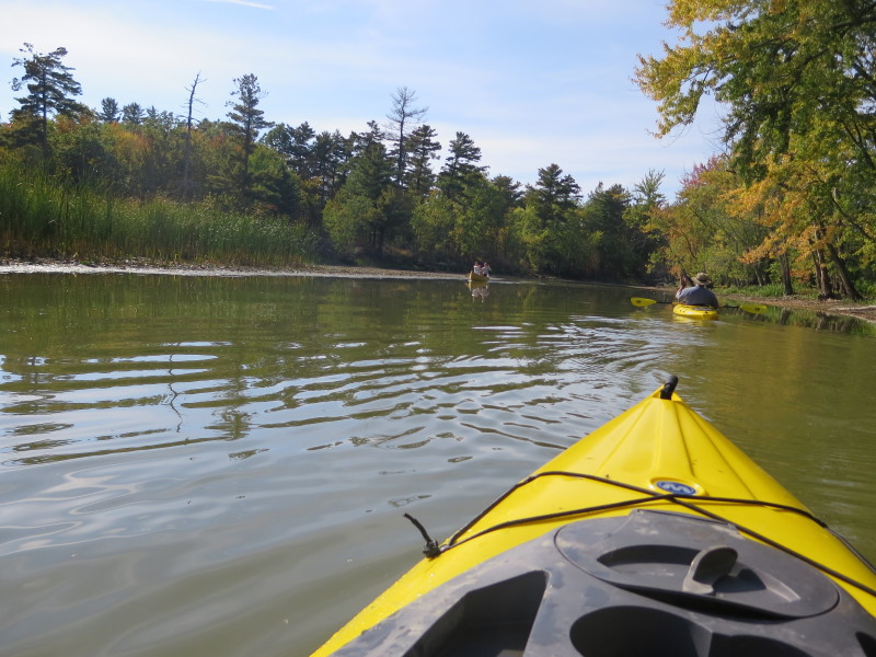
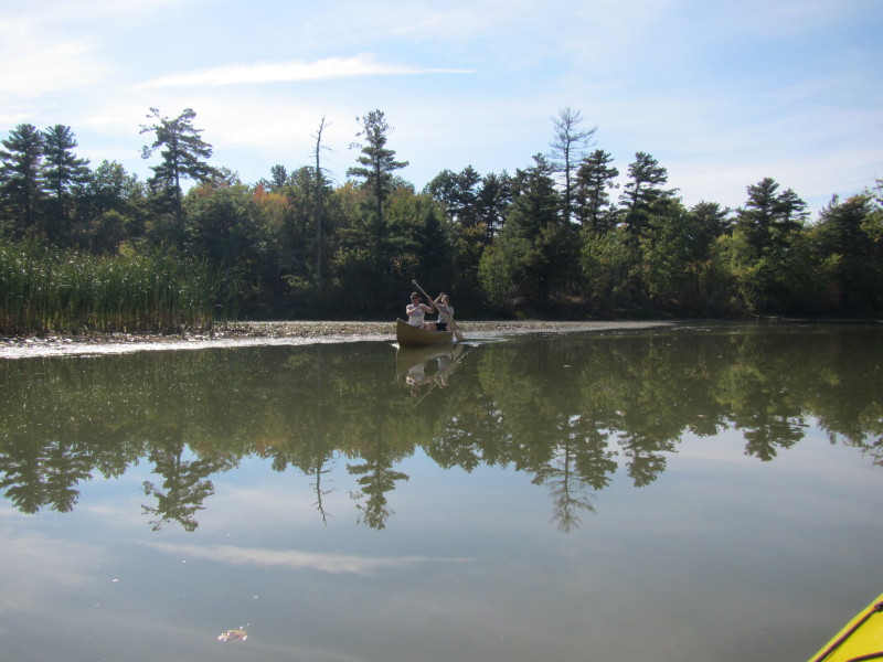
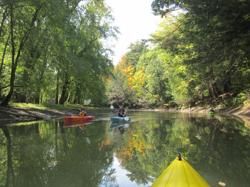 Kayakers on La Platte River.
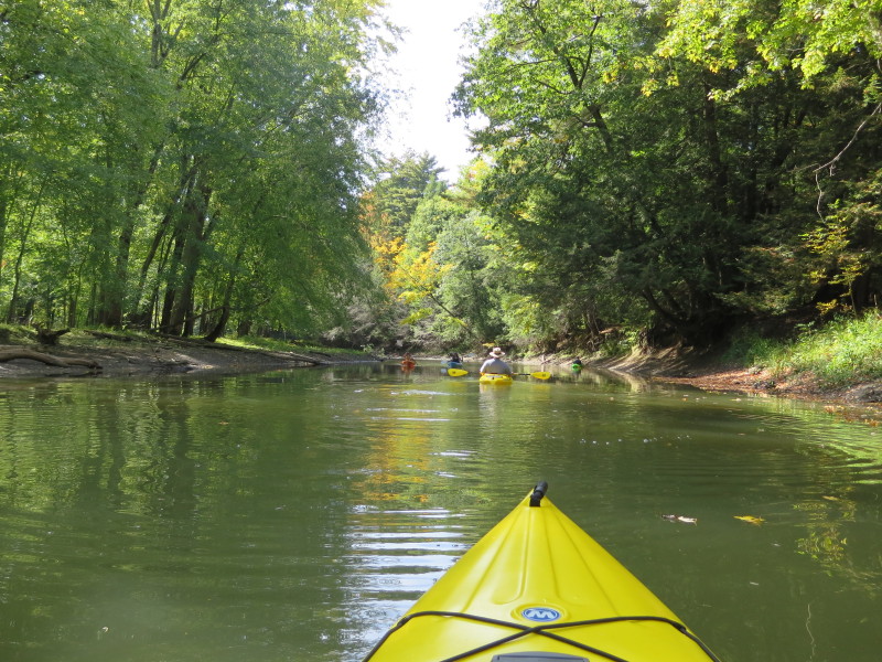
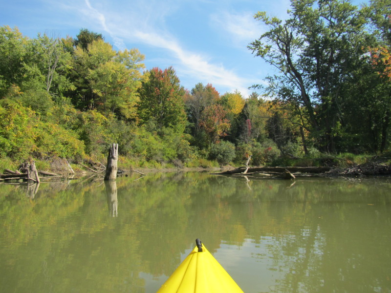
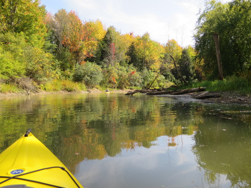
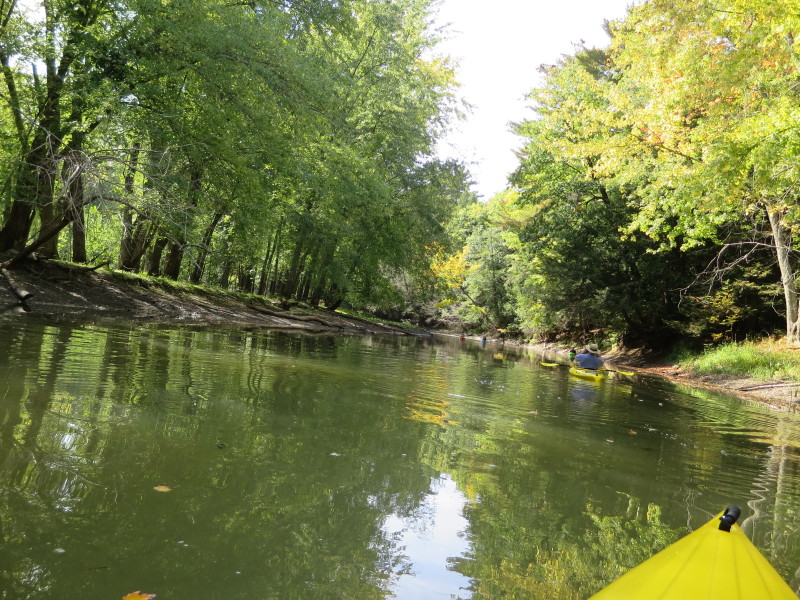
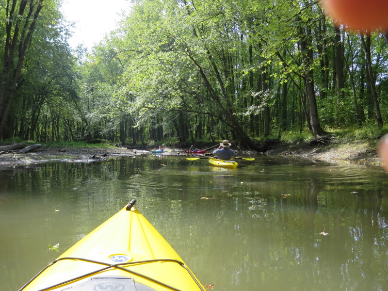
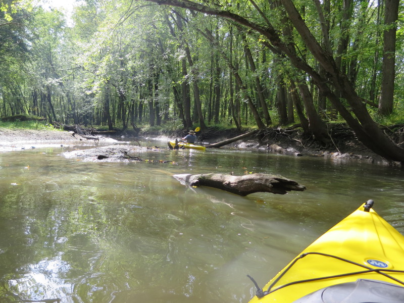
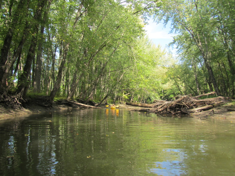
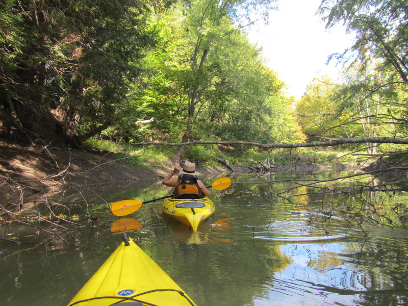
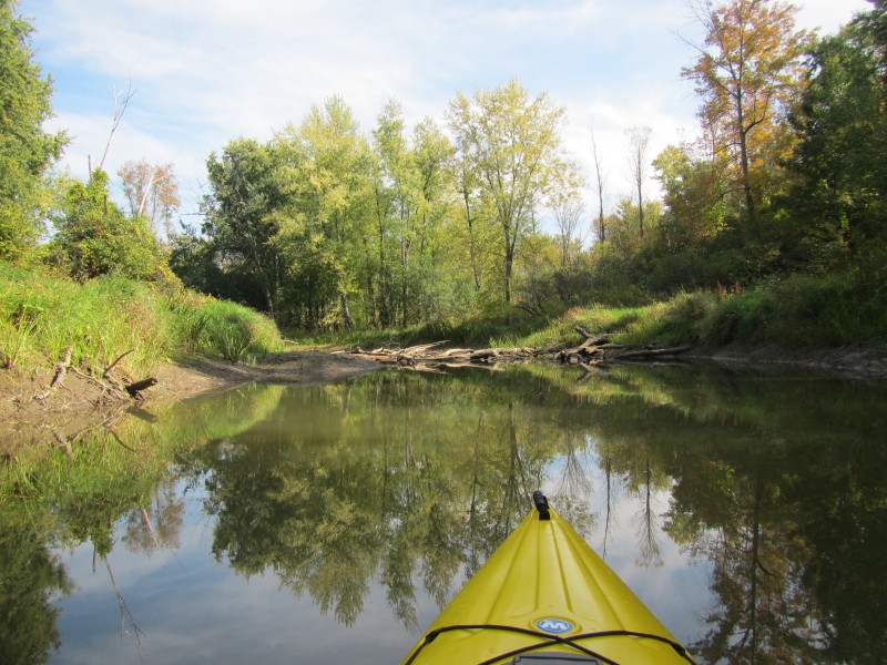
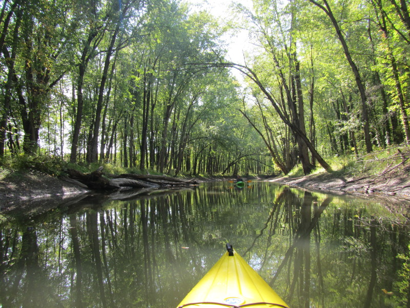
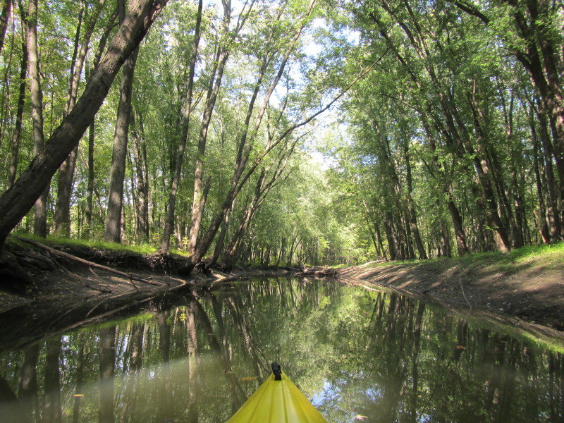
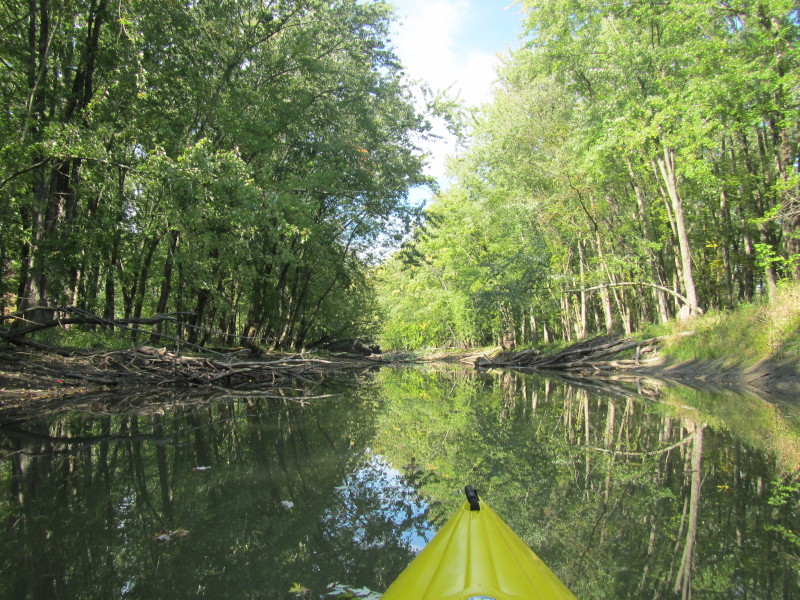
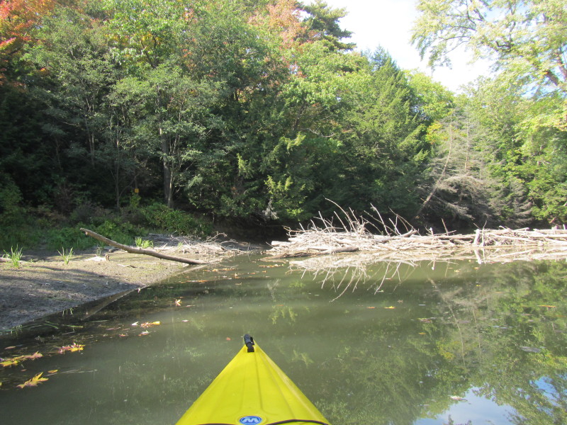
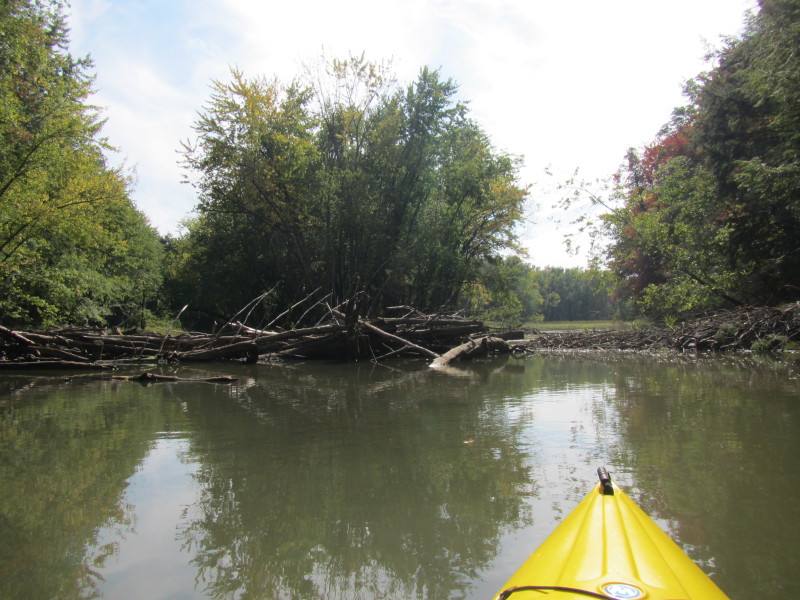 A lot of downed trees on La Platte River.
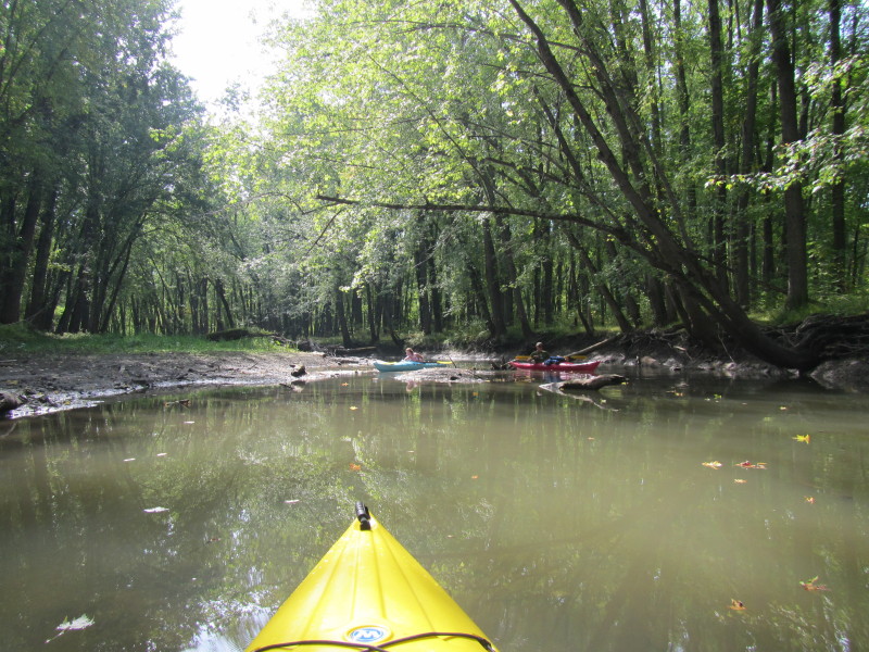
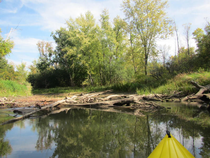
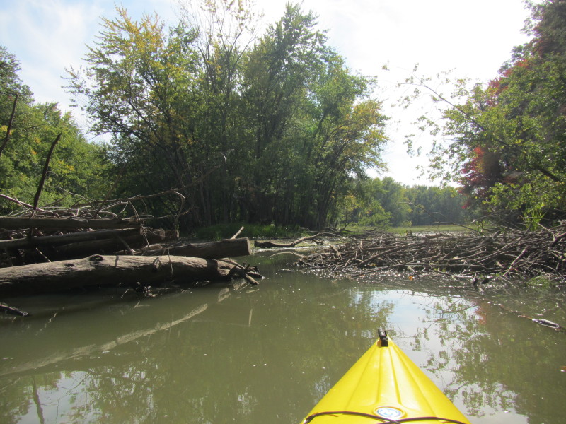 I can see my way thru!
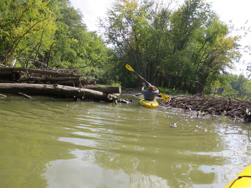
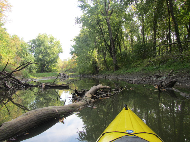
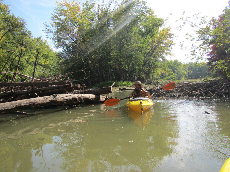
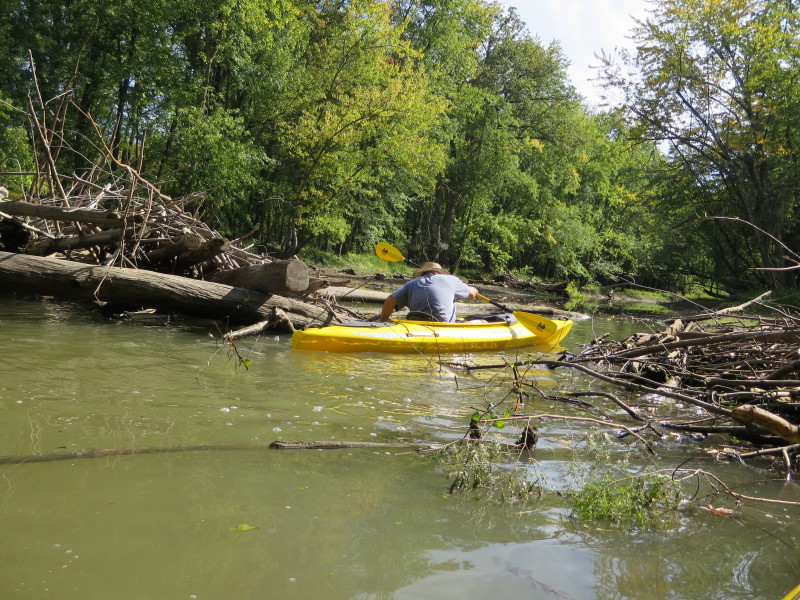 The Boston Kayaker sliding over a downed tree on La Platte River.
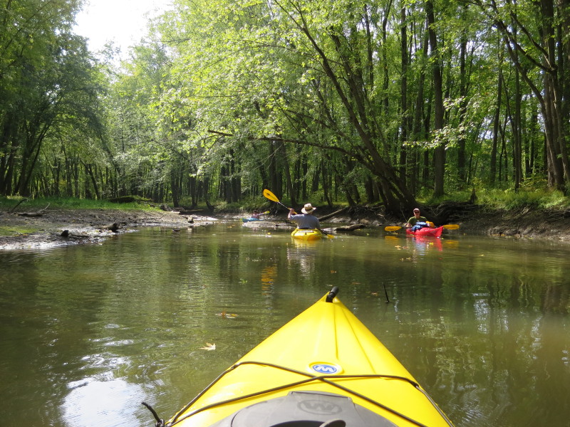
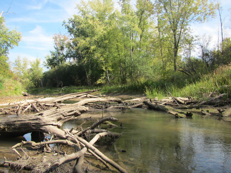
 Another tree to slide over.
 The lady in the blue kayak (left) have to back out of that tight spot.
 A care-free turtle on La Platte River.
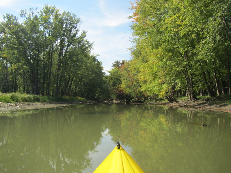
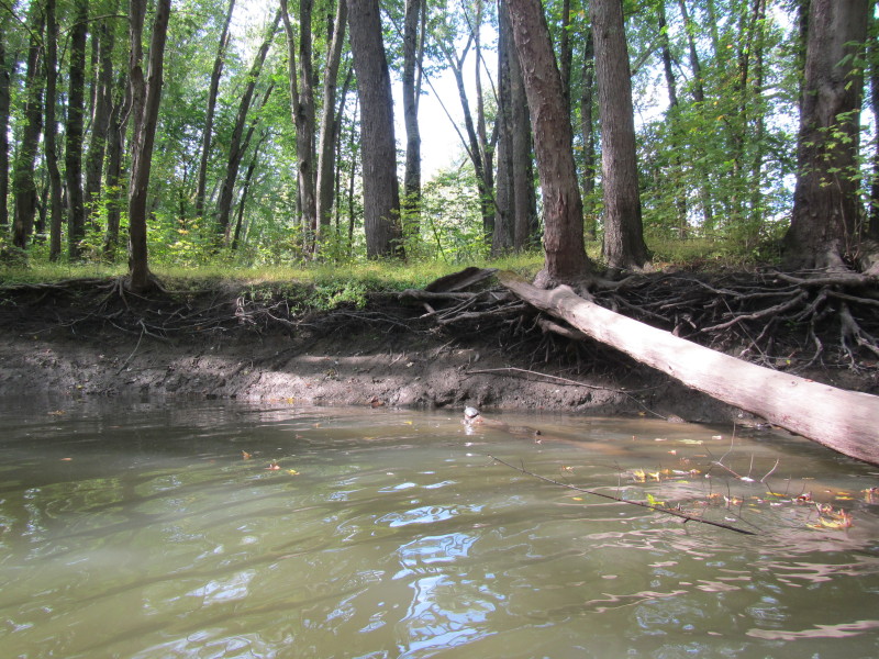
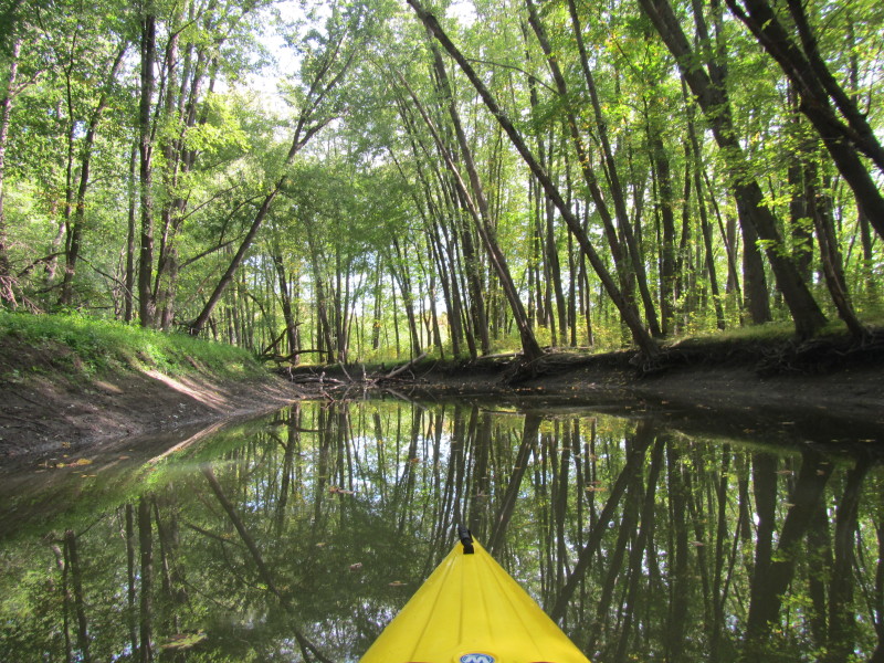
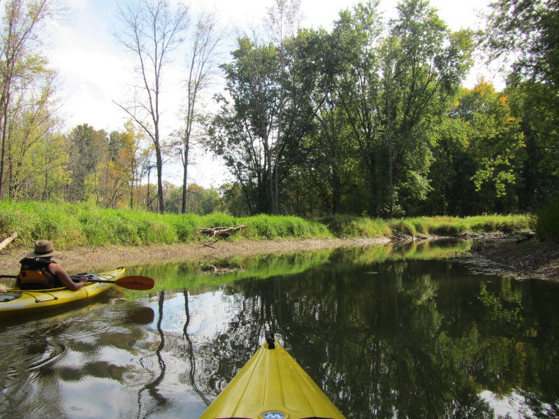
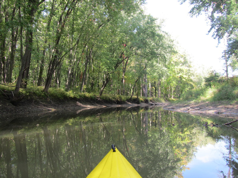
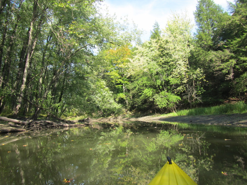
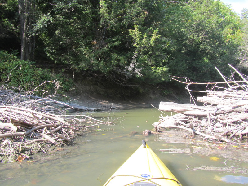
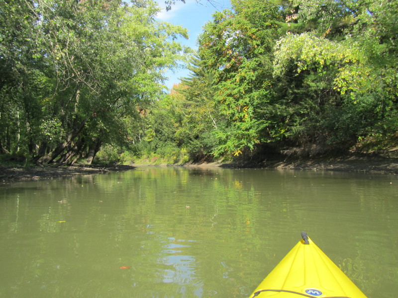
 The muddy banks make this river ditch-like.
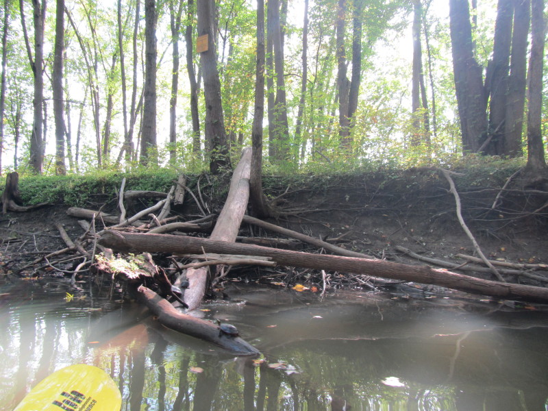
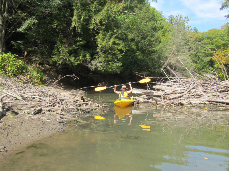
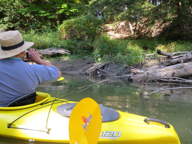
 I have reached the impassable (while staying in my kayak that is).
 Turning around.
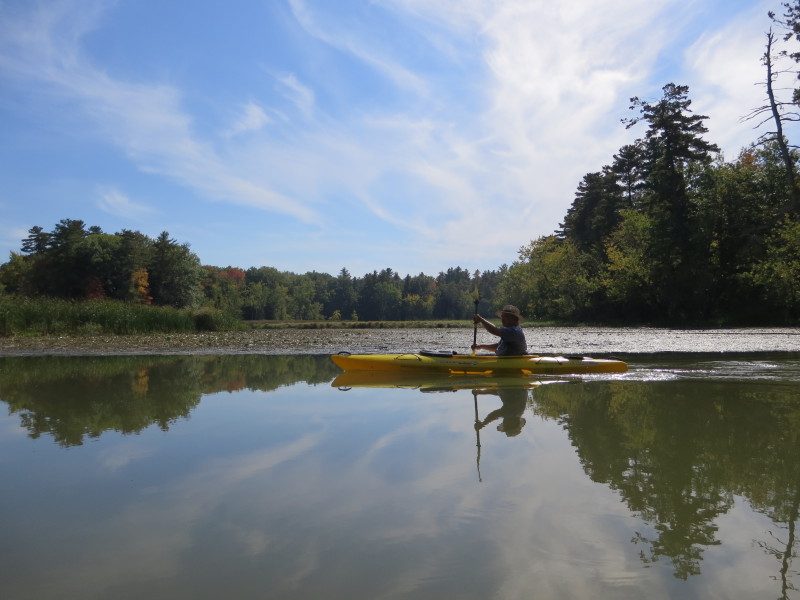
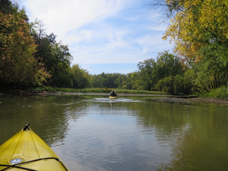
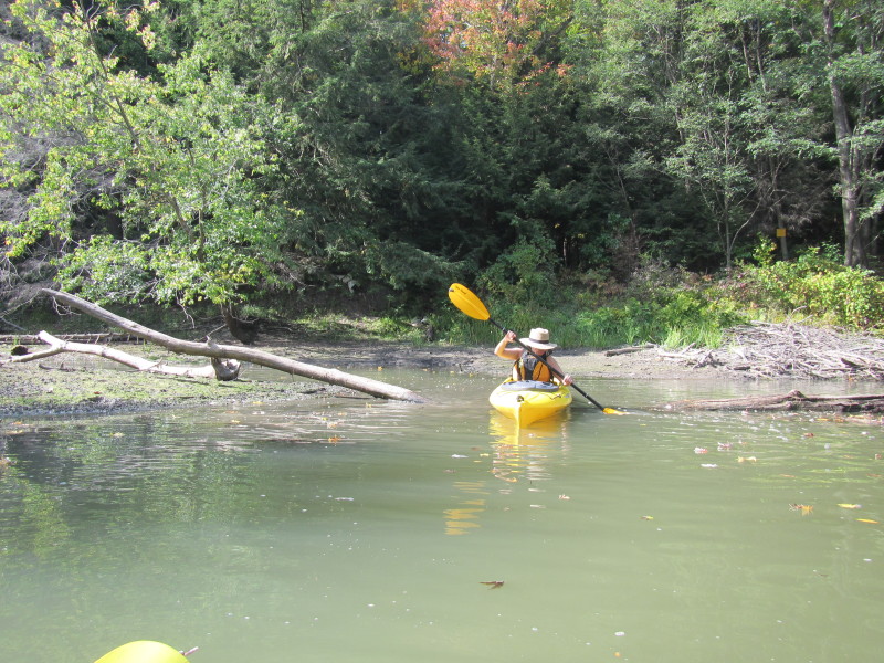
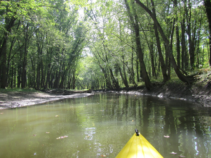
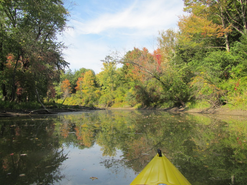
 Now paddling back.

 Turtles abound on La Platte River.

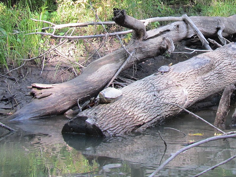
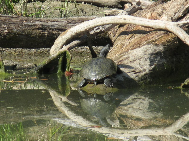 The biggest turtle I have seen today. The size of a big dinner plate.
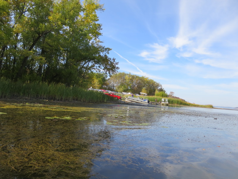
 The put in / take out for hand-carried boats to La Platte River.
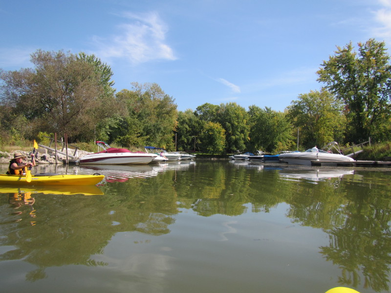
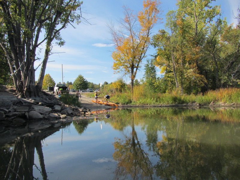
 The ramp to Shelburne Bay / La Platte River.
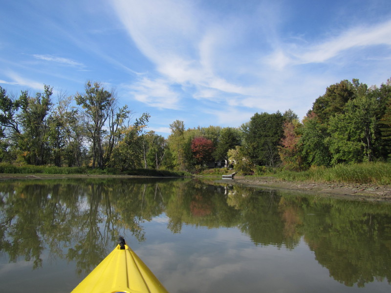
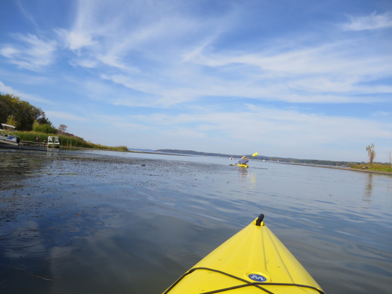
We continue our paddle into Shelburne Bay. |