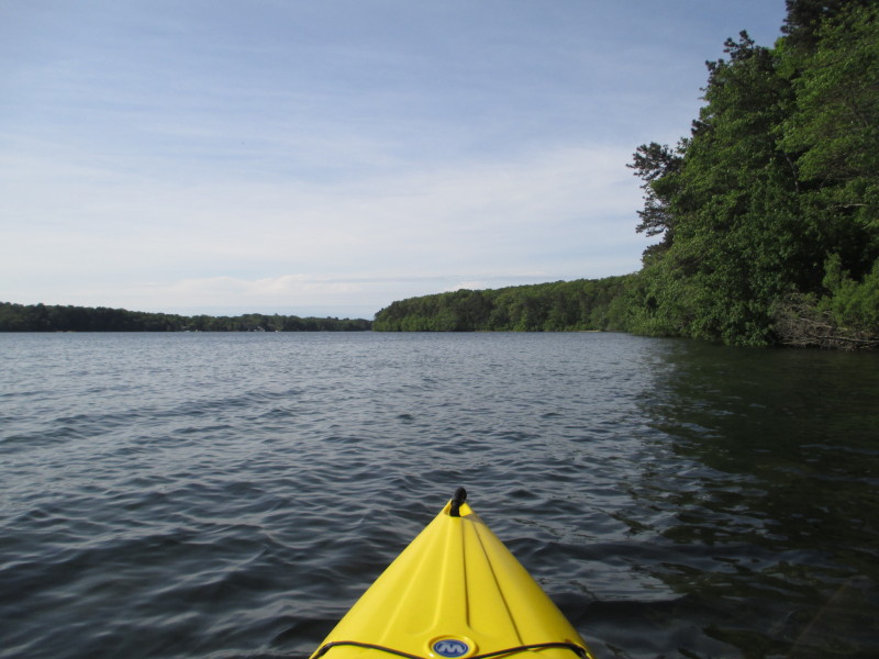
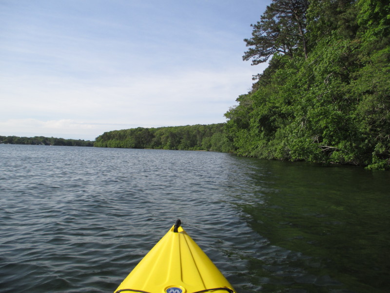
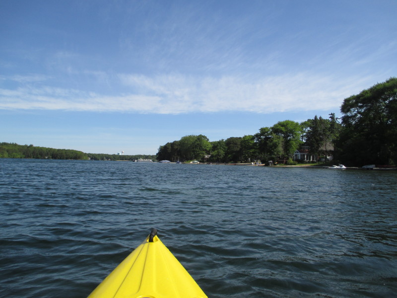
 Kayaker
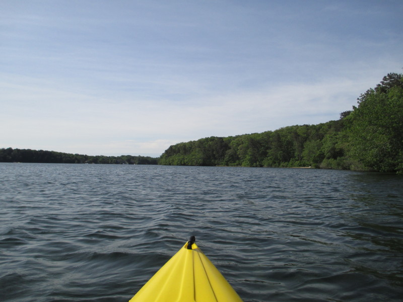

| |||||||||||||||||||||||


|
Download printer-friendly
PDF version that fits in one page: |

|
|
Other resources:
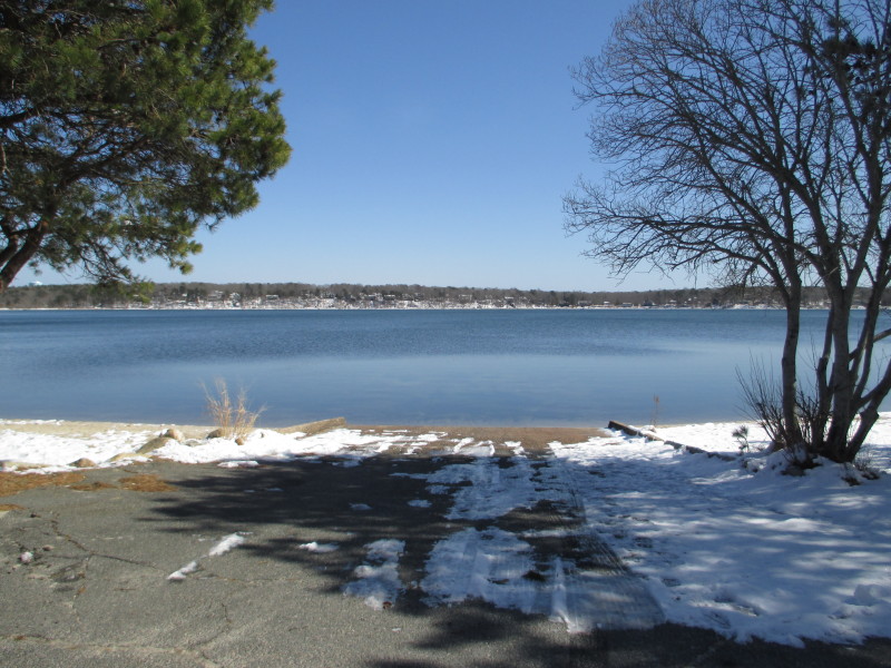
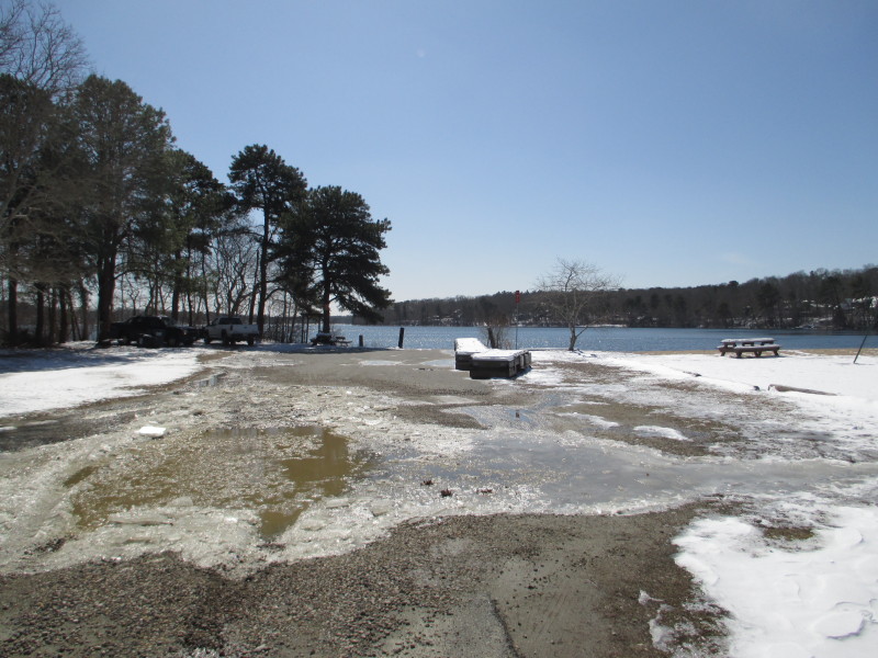
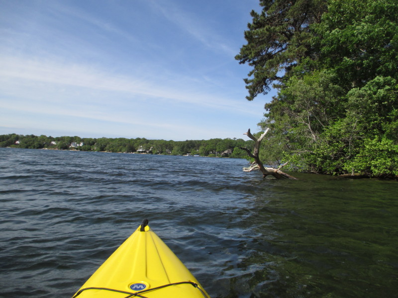
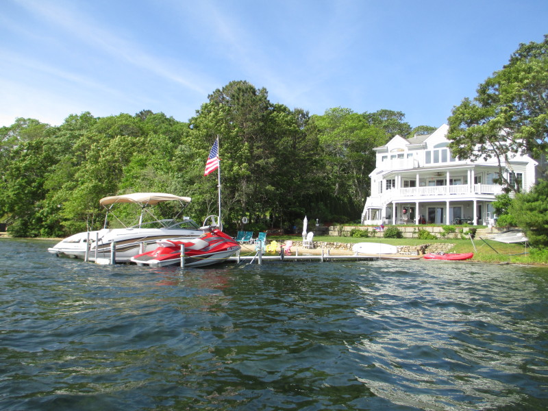
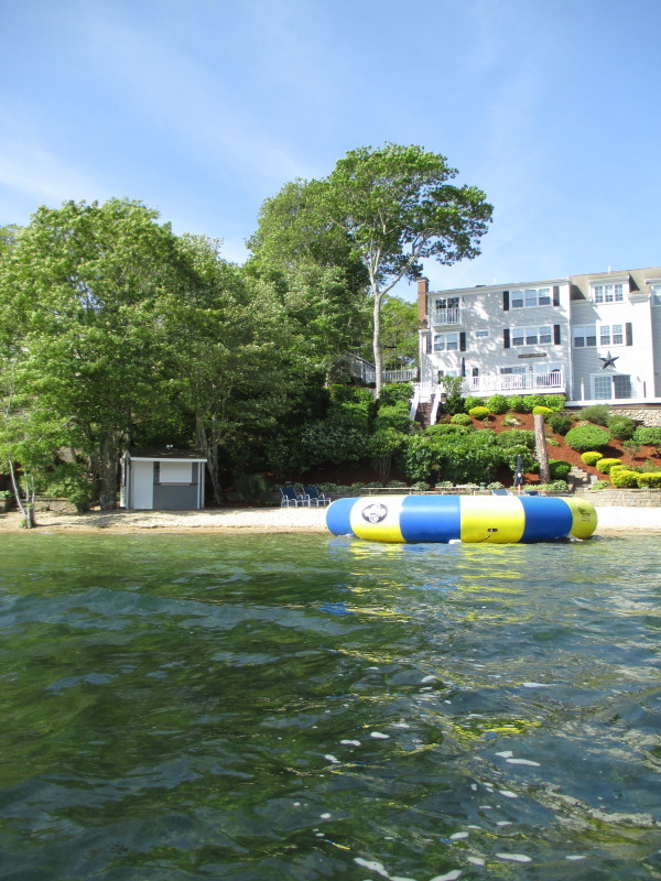
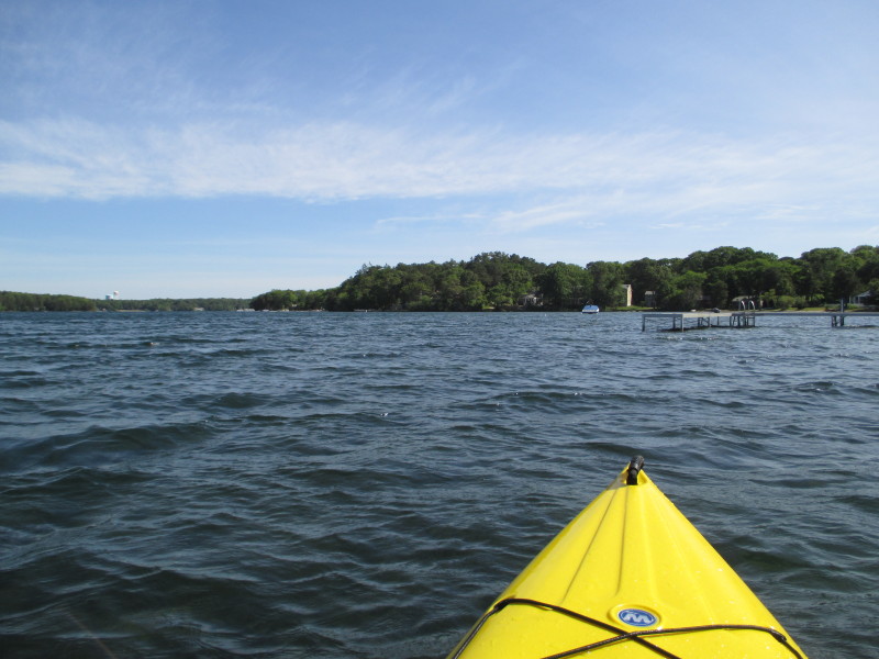
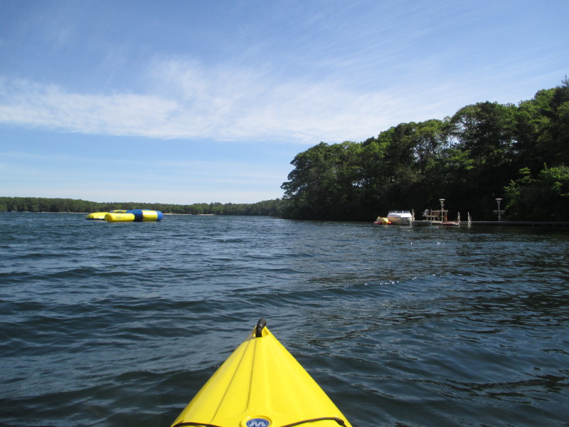
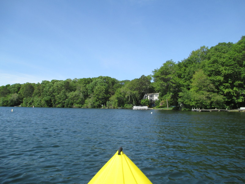
All photos in this website are original and copyrighted.  IMG_5452.JPG
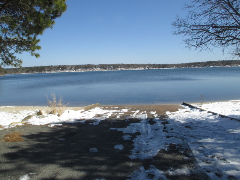
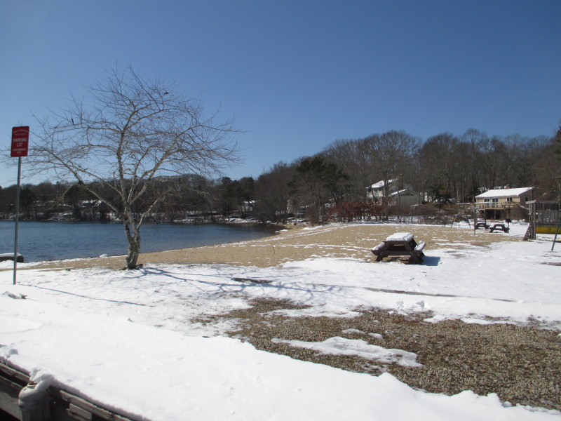
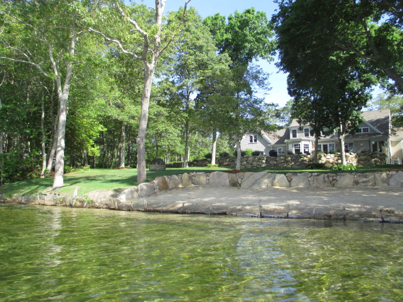
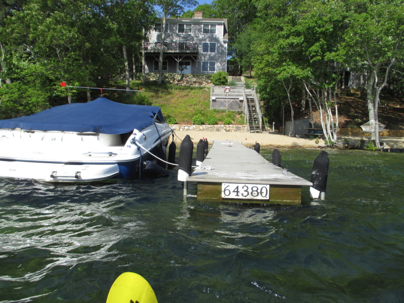
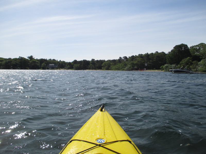
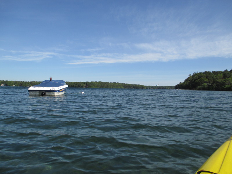
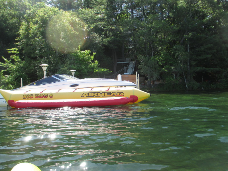
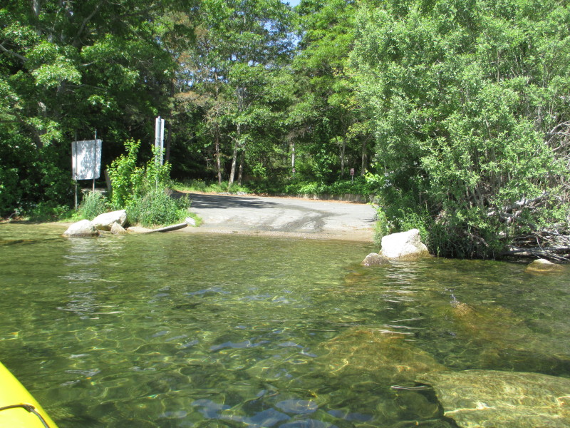
 IMG_5454.JPG
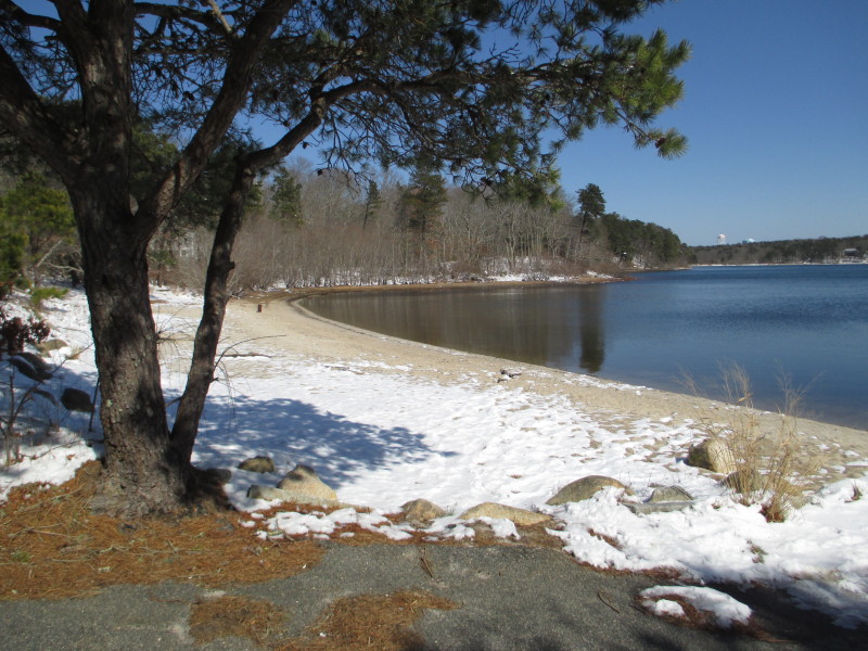
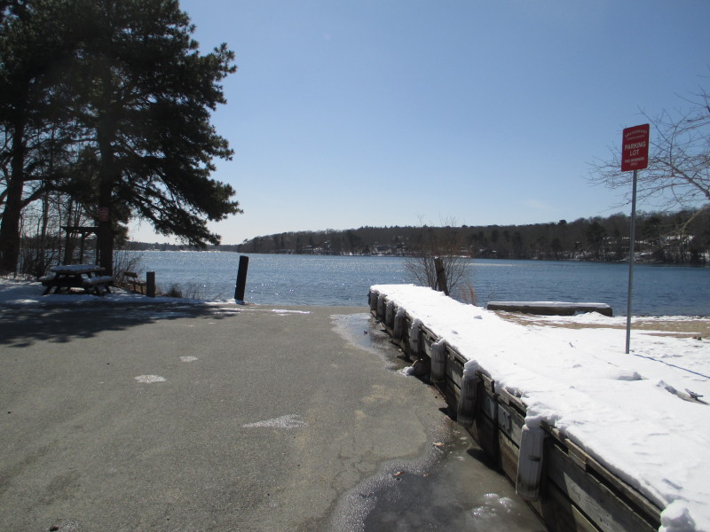
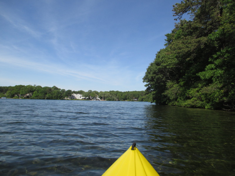
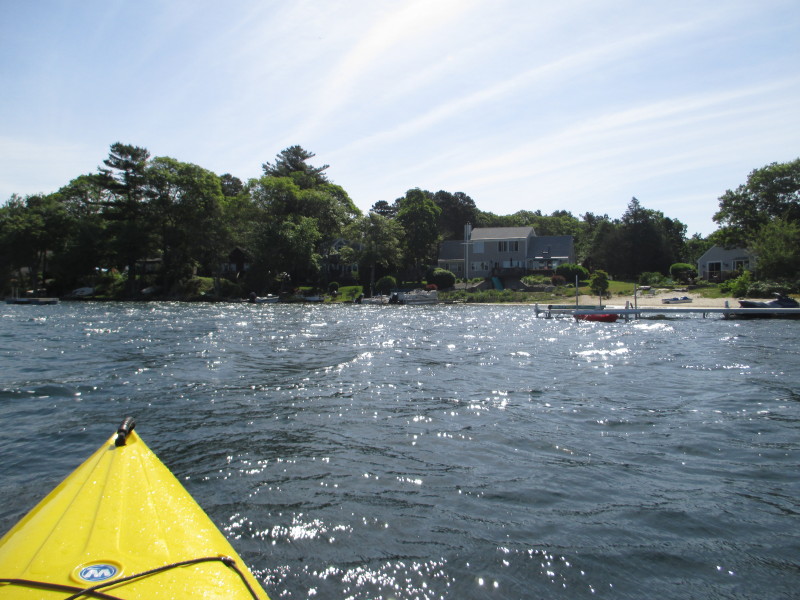
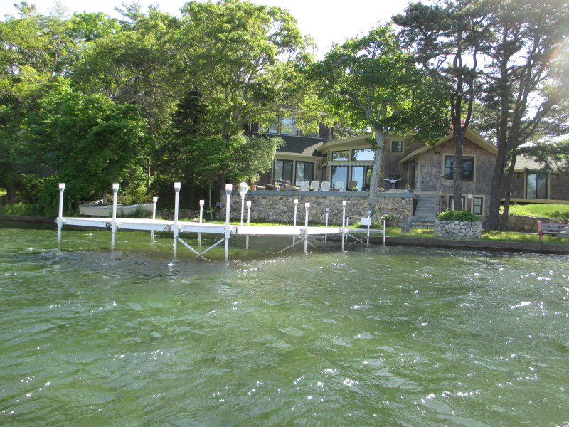
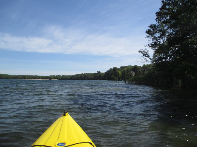
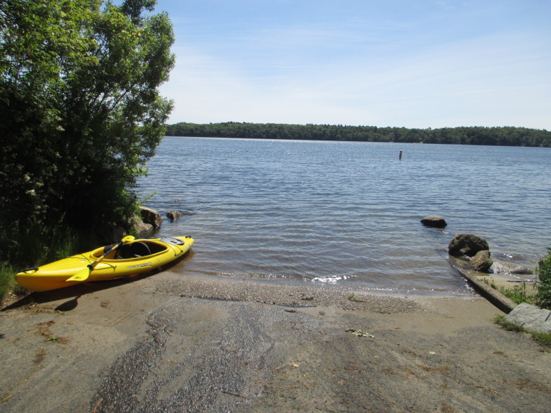
 IMG_5456.JPG
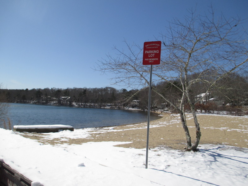
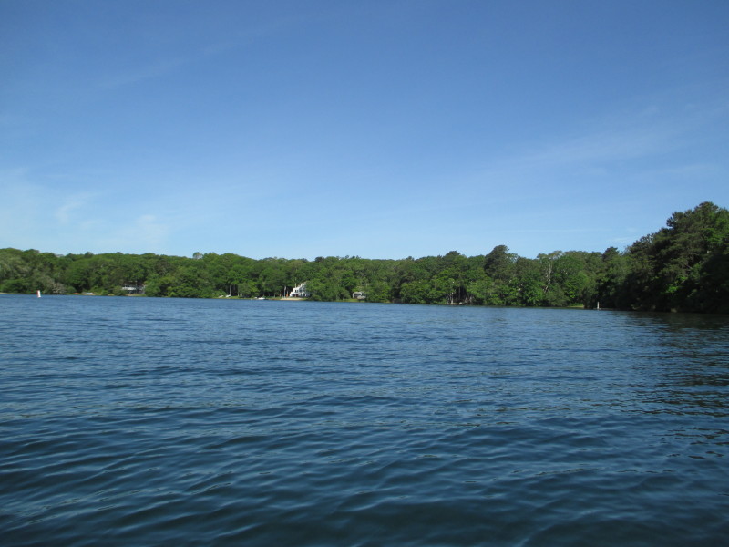
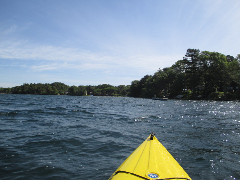
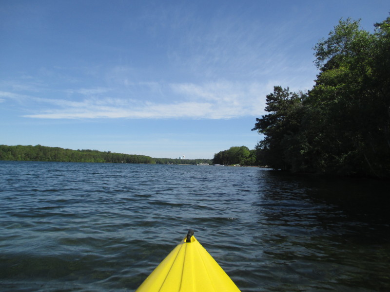
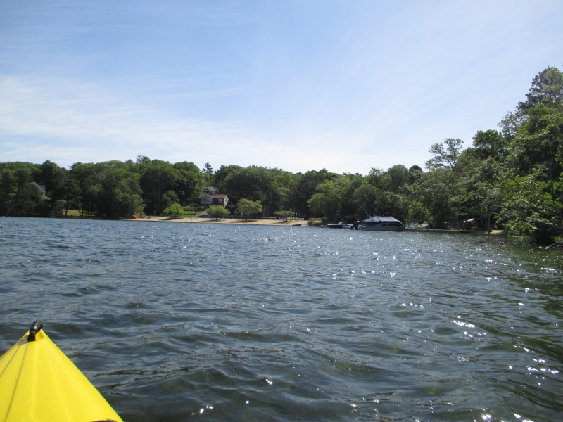
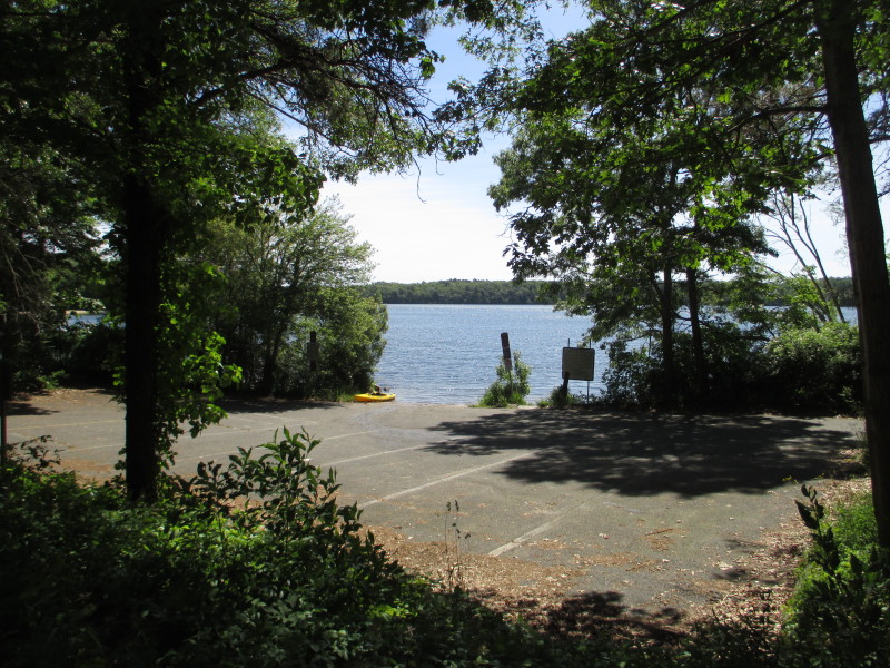
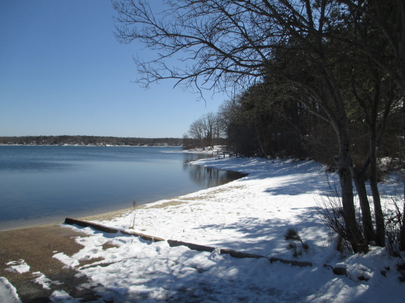 IMG_5458.JPG
 IMG_5460.JPG
 IMG_5462.JPG
 IMG_5464.JPG
 IMG_5466.JPG
 IMG_5933.JPG
 IMG_5935.JPG
 IMG_5937.JPG
 IMG_5939.JPG
 IMG_5941.JPG

 IMG_5943.JPG
 IMG_5945.JPG
 IMG_5947.JPG
 IMG_5949.JPG
 IMG_5951.JPG
 IMG_5953.JPG
 IMG_5955.JPG
 IMG_5957.JPG
 IMG_5959.JPG
 IMG_5961.JPG
 IMG_5963.JPG
 IMG_5965.JPG
 IMG_5967.JPG
 IMG_5969.JPG
 IMG_5971.JPG

 IMG_5973.JPG
 IMG_5975.JPG
 IMG_5977.JPG
 IMG_5979.JPG

 IMG_5981.JPG
 IMG_5983.JPG
 IMG_5985.JPG
 IMG_5987.JPG
 IMG_5989.JPG
 IMG_5991.JPG
 IMG_5993.JPG
 IMG_5995.JPG
|