 Kayaker

|


|
Download printer-friendly
PDF version that fits in one page: |

|
|
Other resources:
Paddling.net: Hopeville Pond Kayaking Trip Report CT Govt: Hopeville Pond State Park (will open in new window) CT Govt: Hopeville Pond State Park Map CT Govt: Hopeville Pond State Park Map (cached copy) All photos in this website are original and copyrighted. 
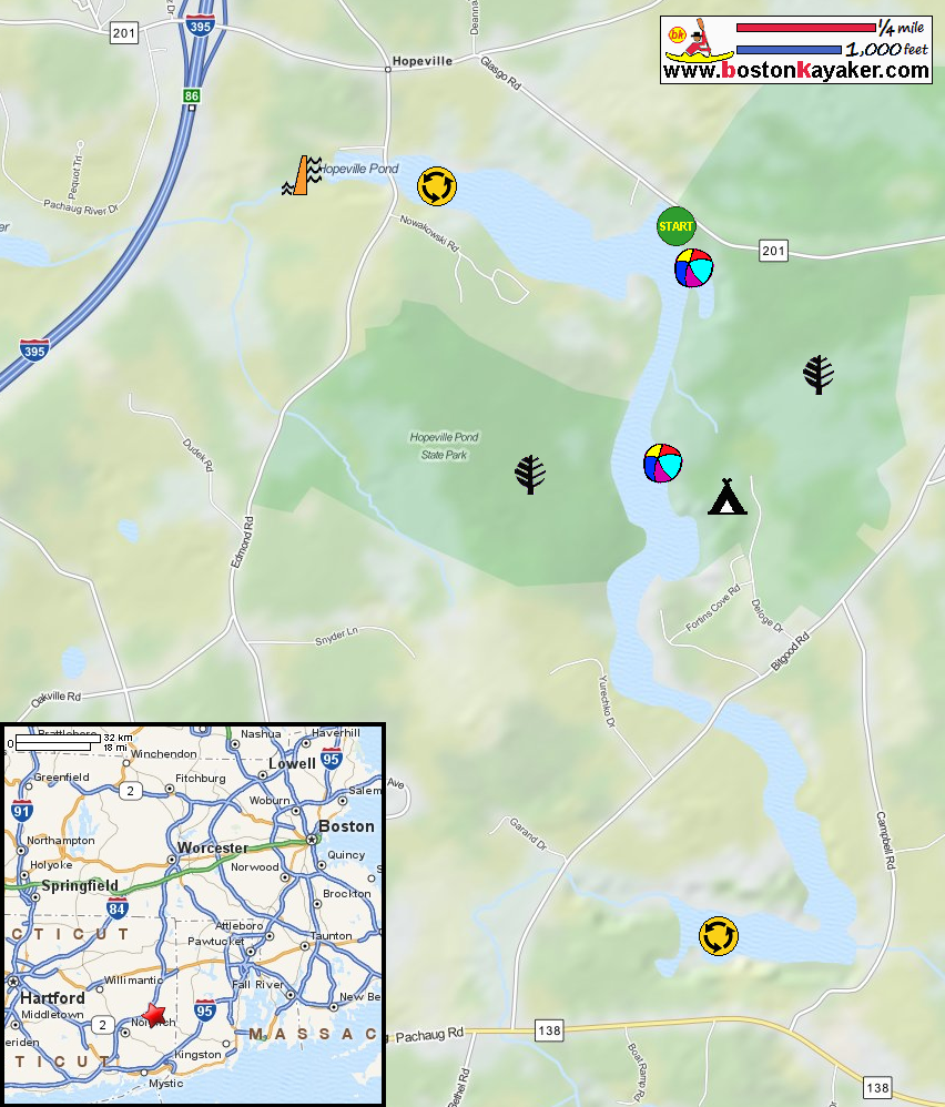
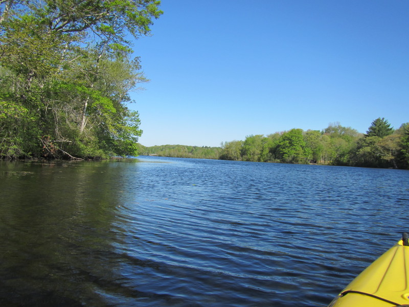
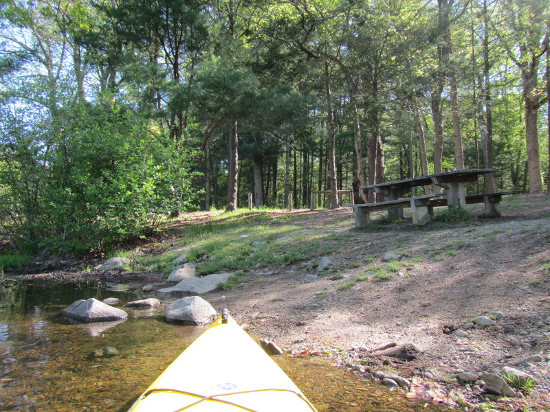
At Hopeville Pond State Park in Griswold CT. Trip date is May 2014. 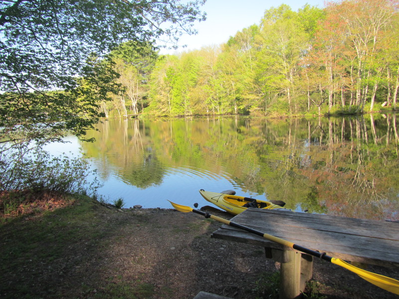 Next to the parking lot is a small cove to put in kayaks.
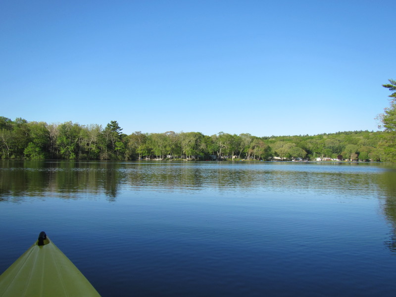
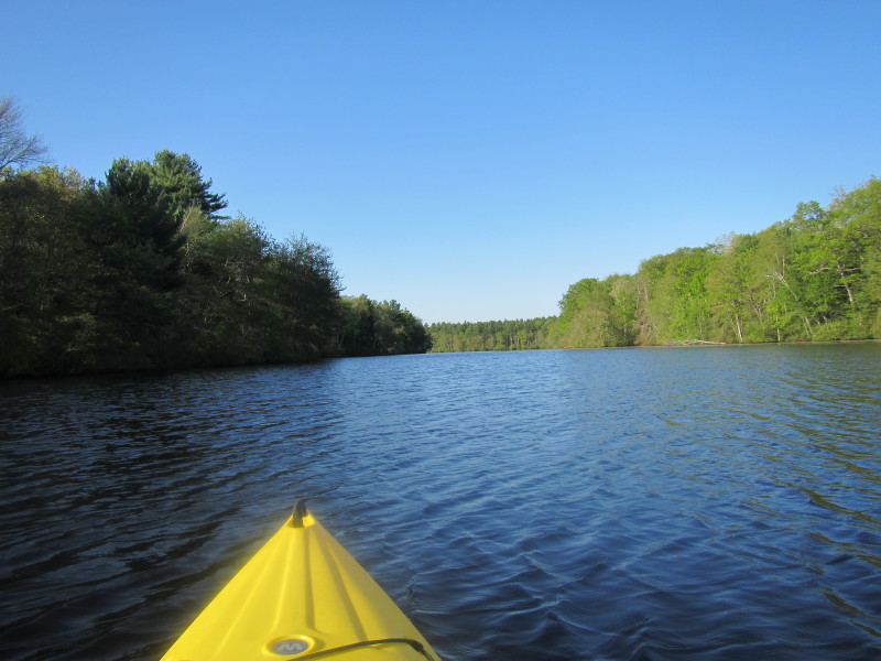
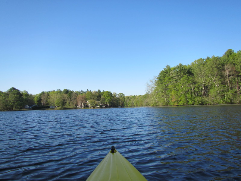
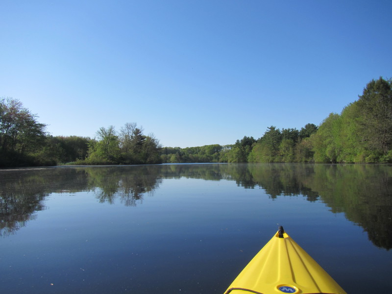
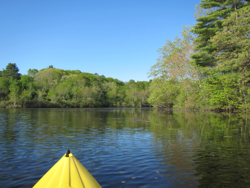
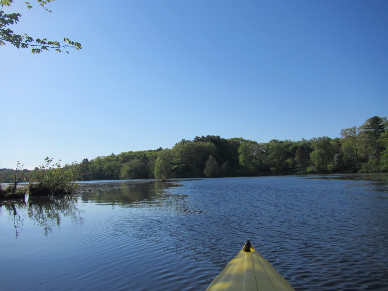
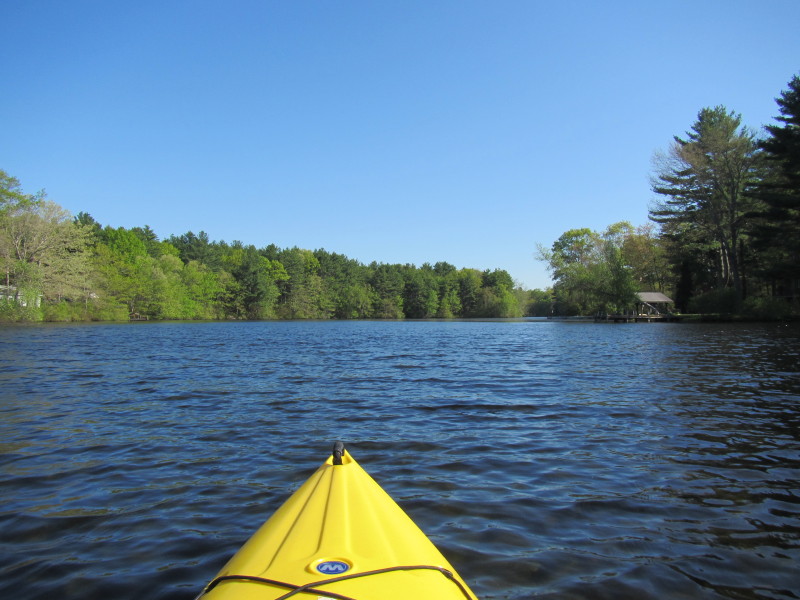
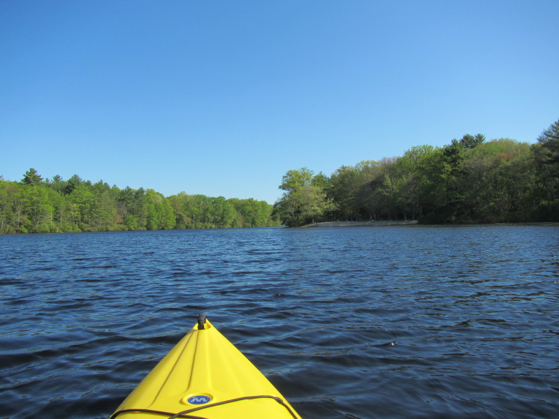
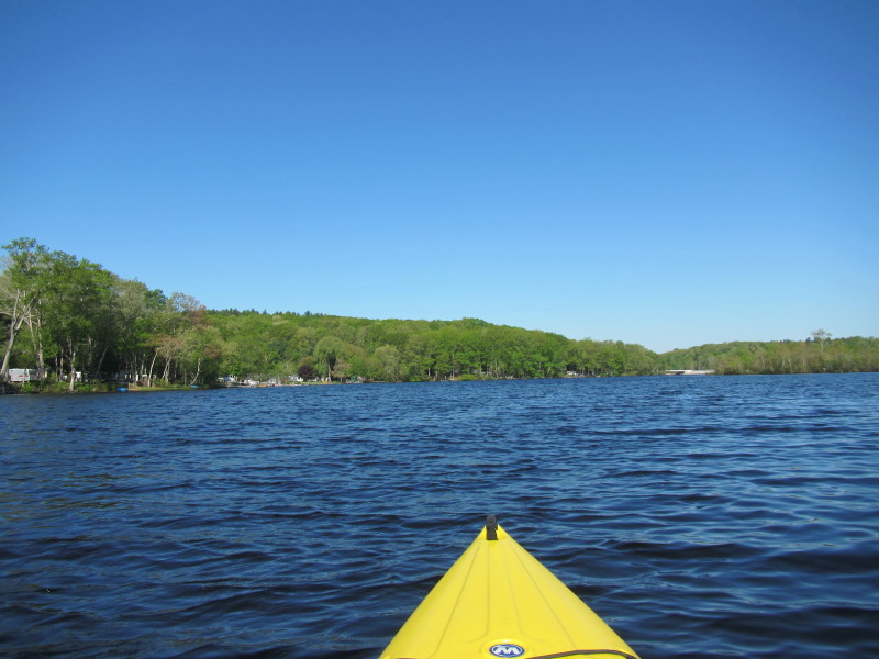
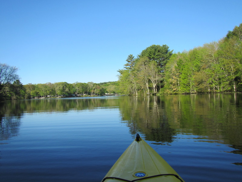 Just launched on Hopeville Pond. It is early in the morning before 8am.
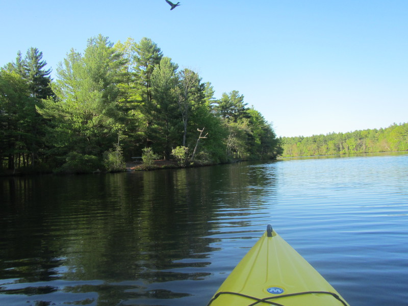
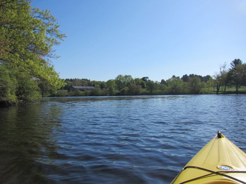
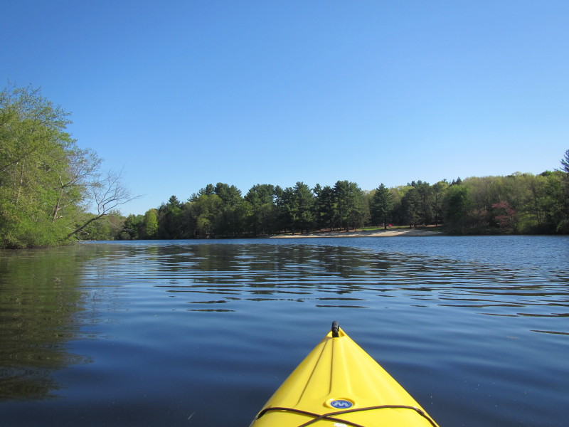
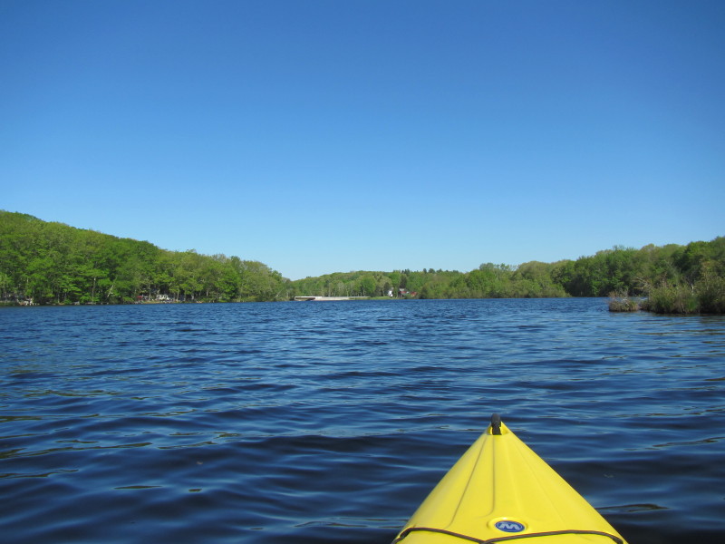
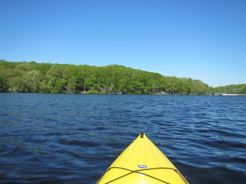
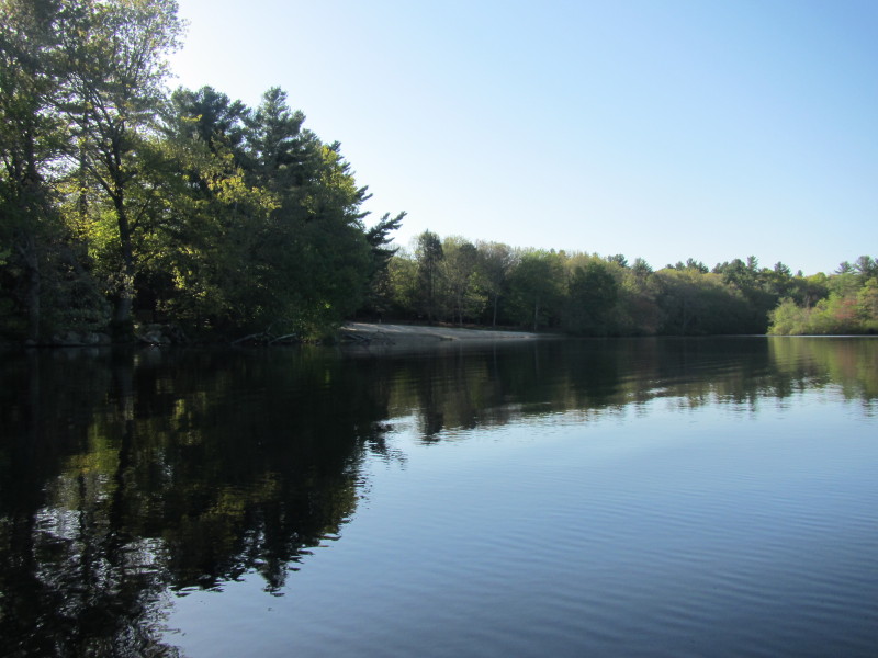 After coming out of the launch cove, I turned left (south) and the empty state
park beach comes into view.
After coming out of the launch cove, I turned left (south) and the empty state
park beach comes into view.
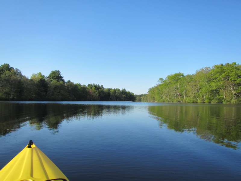
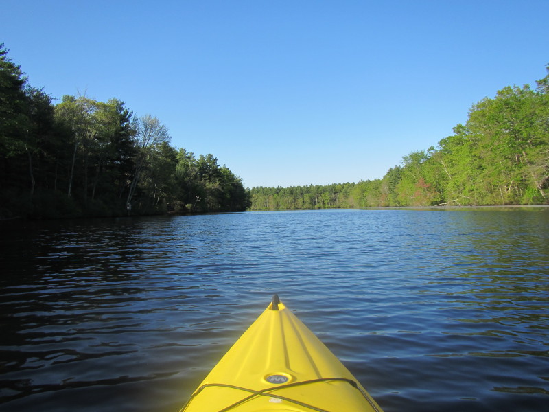
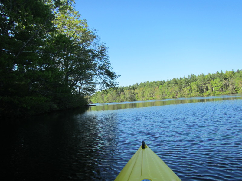
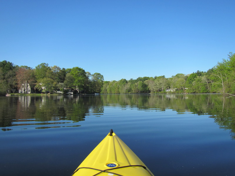
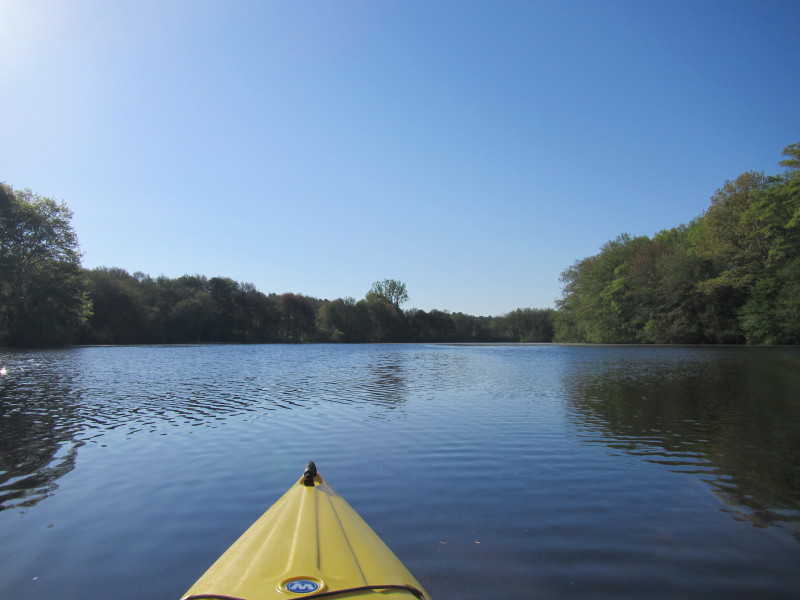
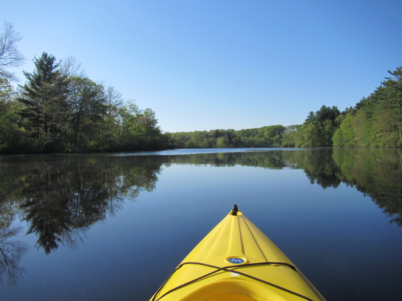
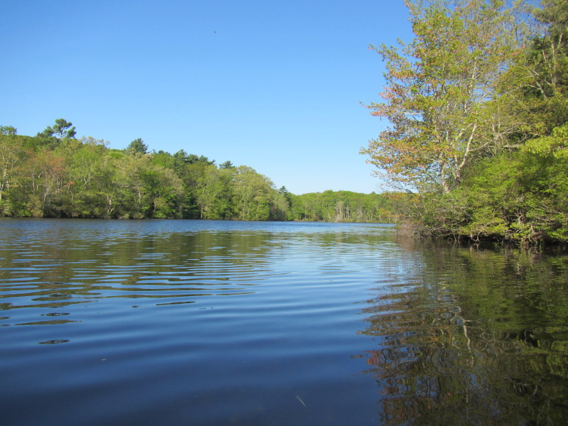
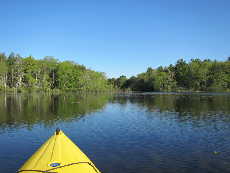
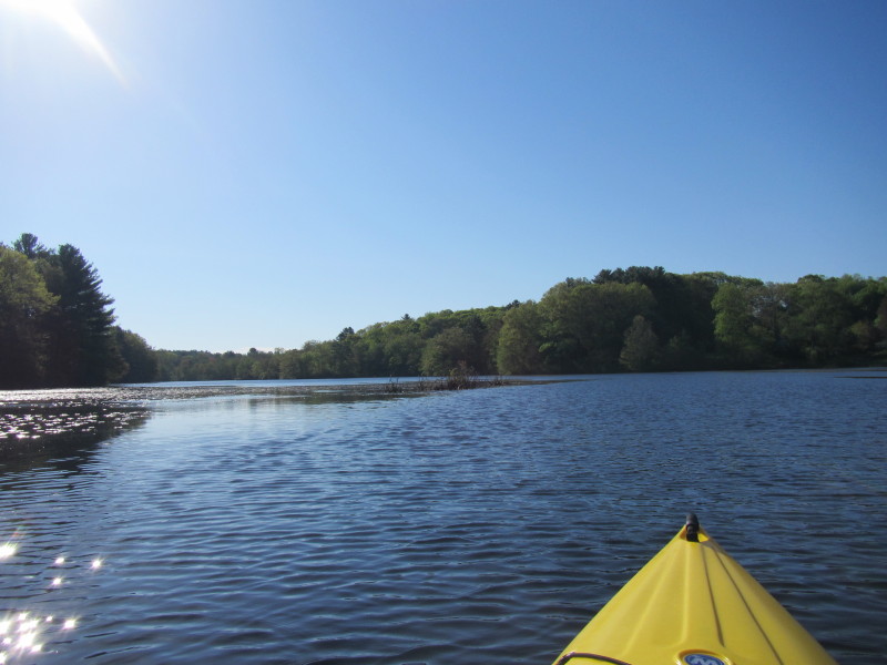
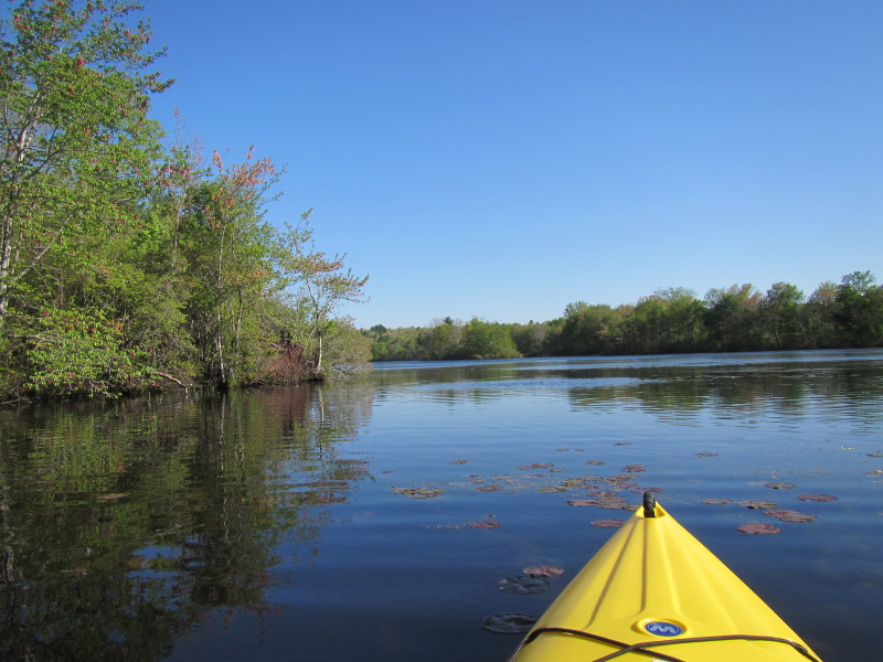
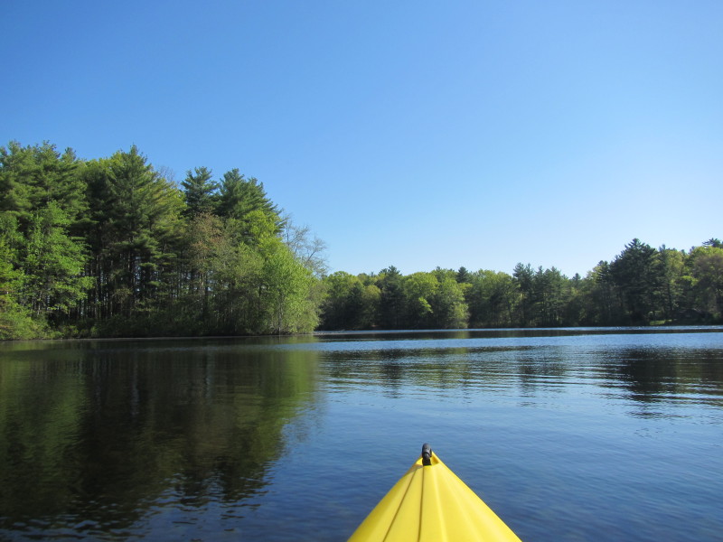
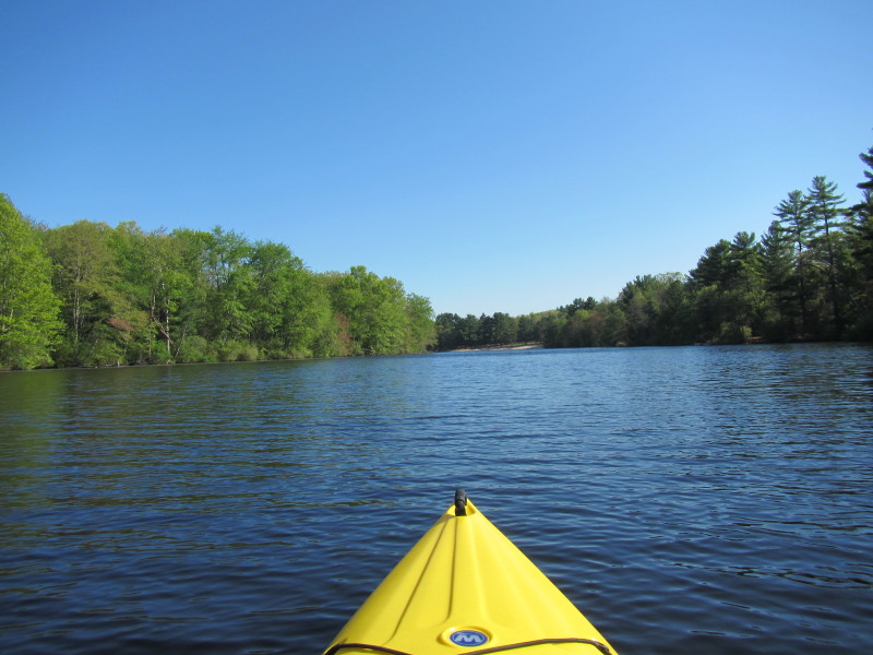
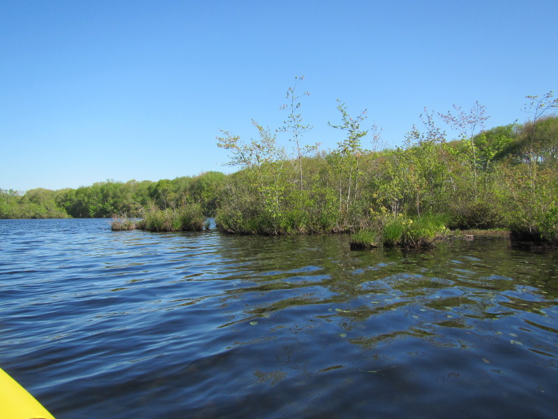
 Hopeville Pond bending to the right . . .
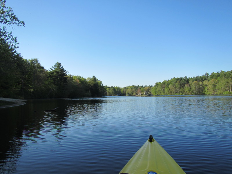
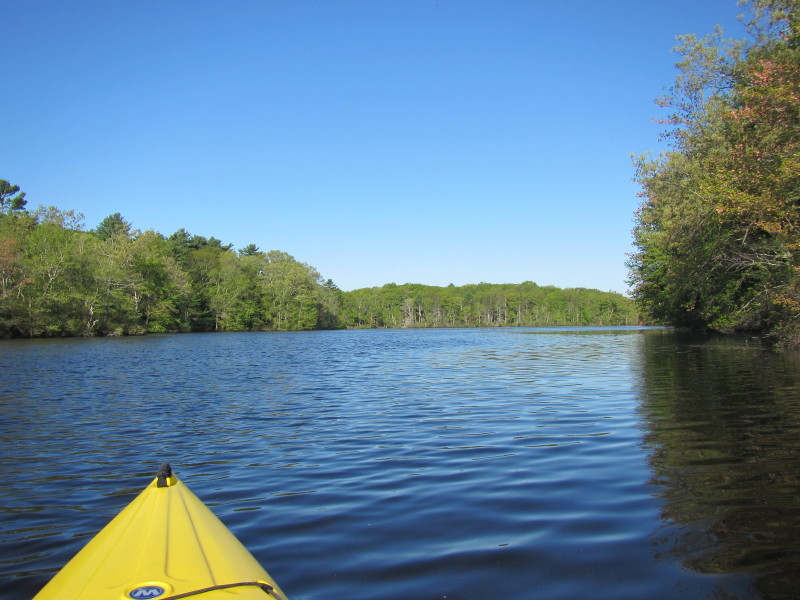
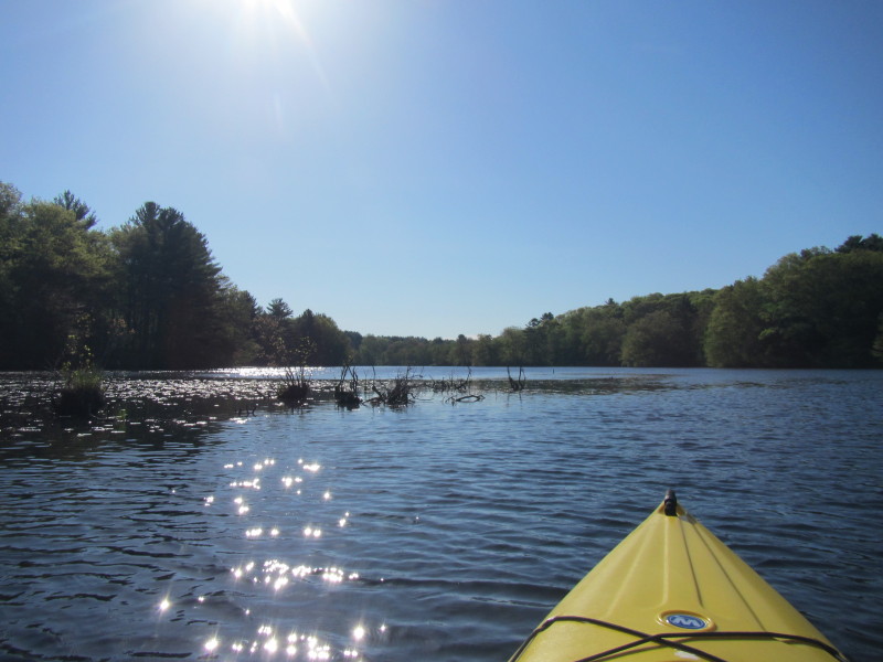
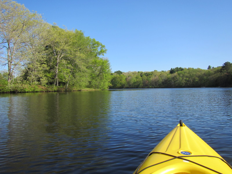
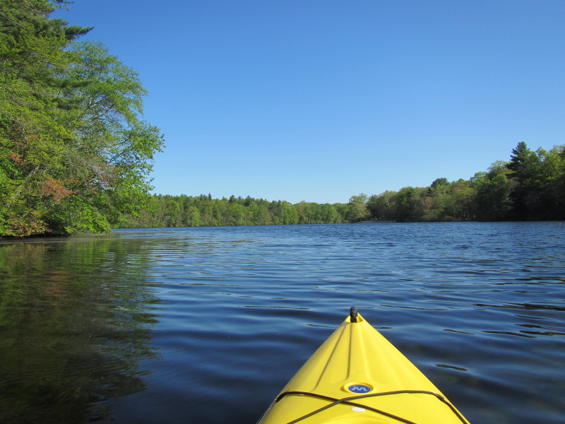
 Now bending to the left.
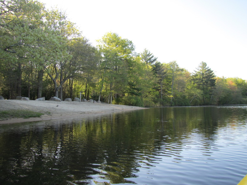
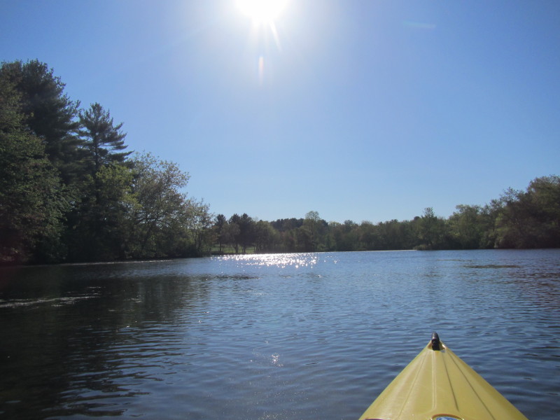
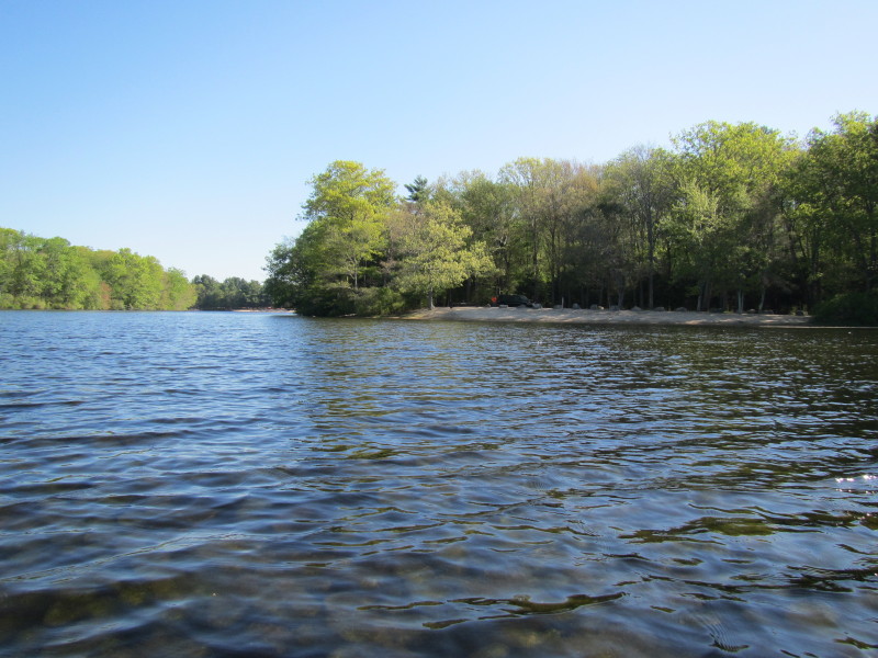
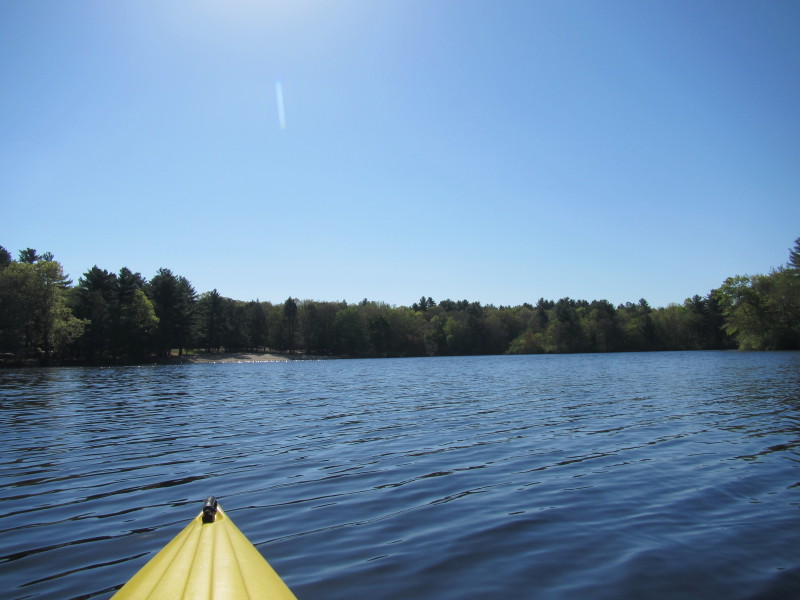
 The other beach at this state park.
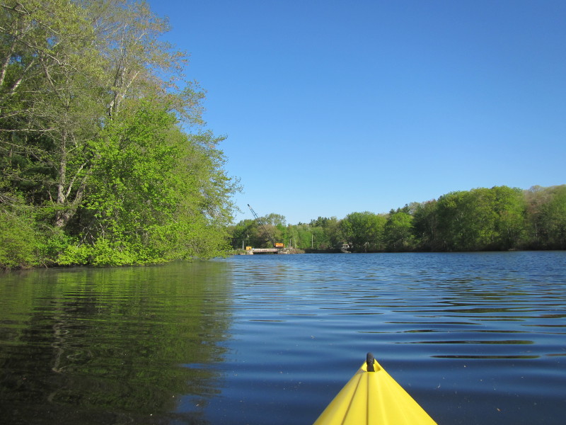
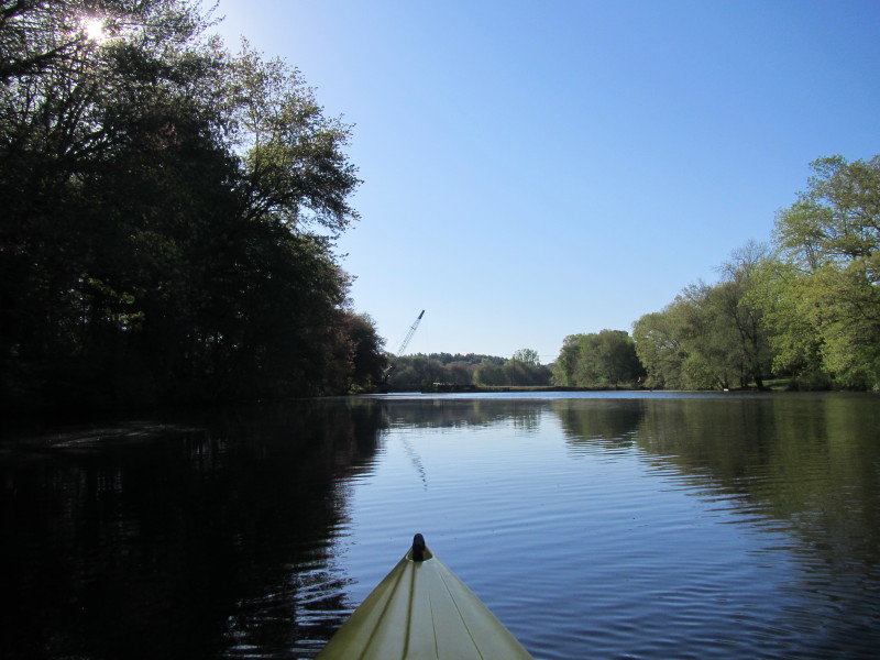 The Bitgood Road bridge coming up.
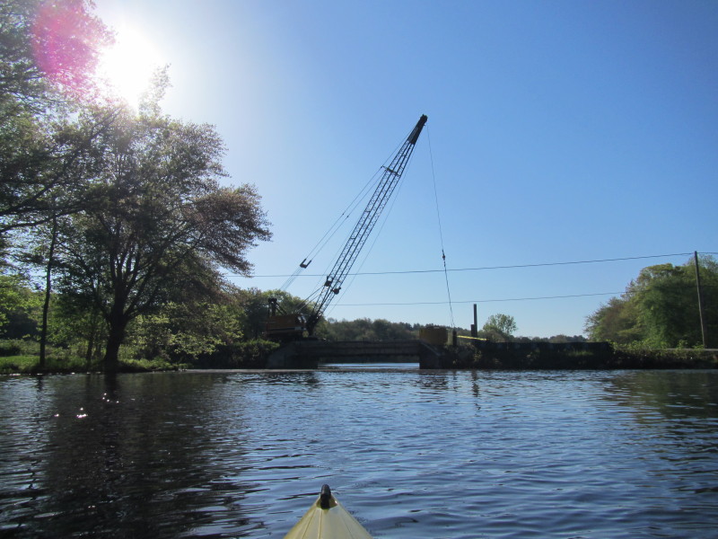 The friendly bridge engineer told me the bridge will be closed for more than a year.
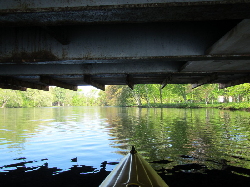
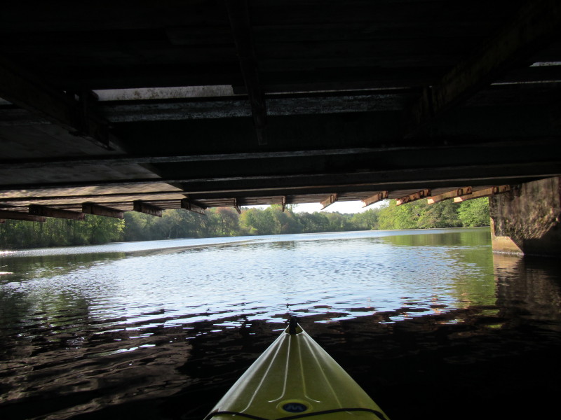 Under the Bitgood Road bridge.
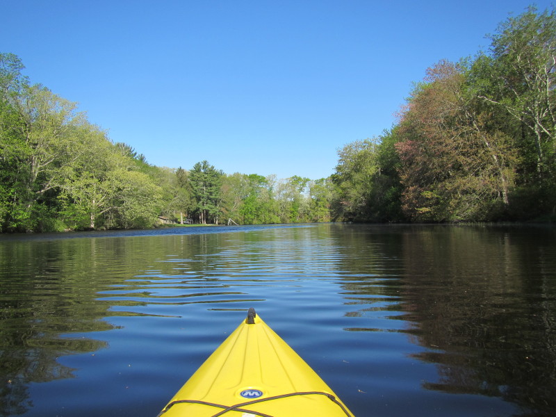
 Continuing south past Bitgood Road bridge.
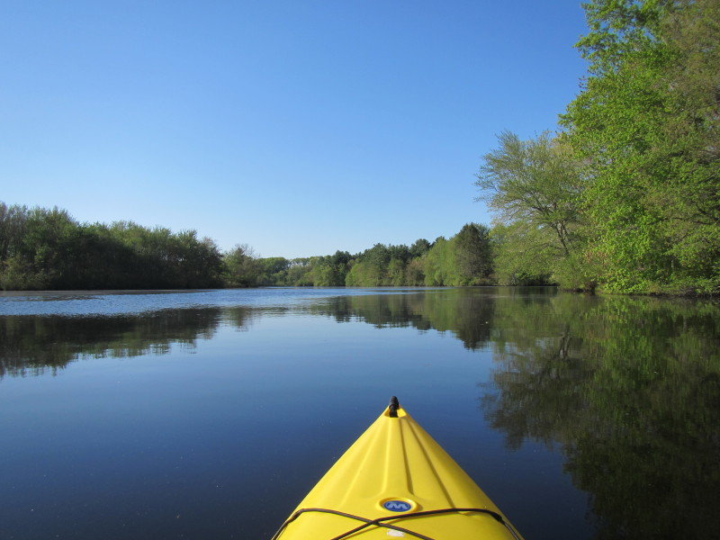
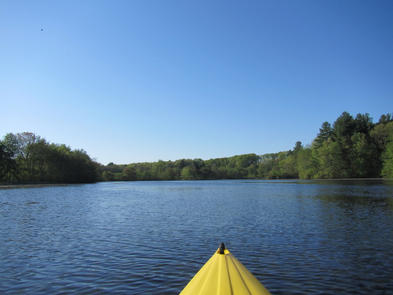
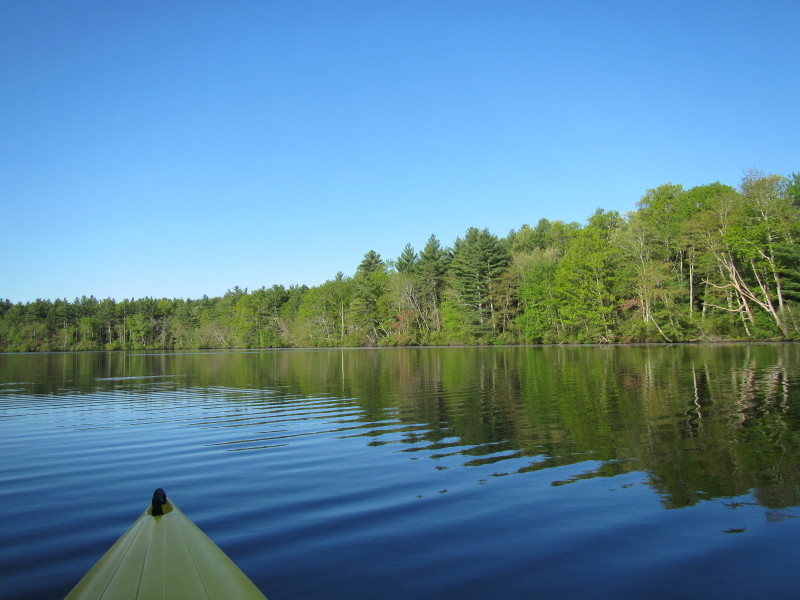
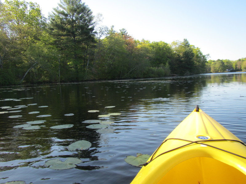
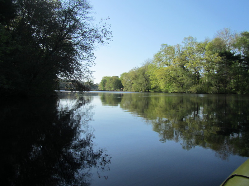
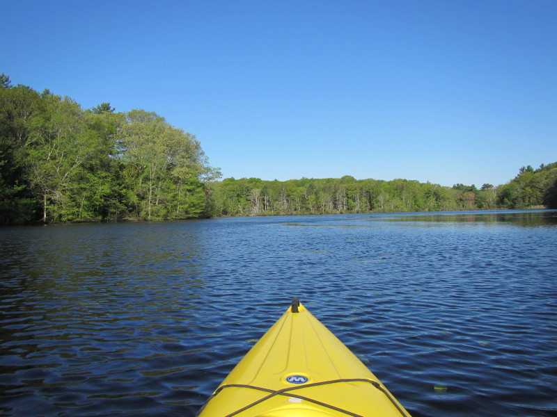
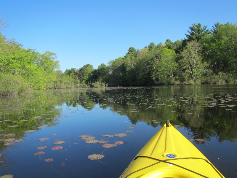
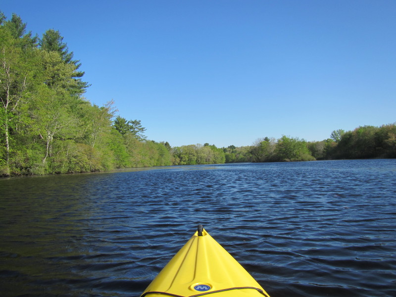
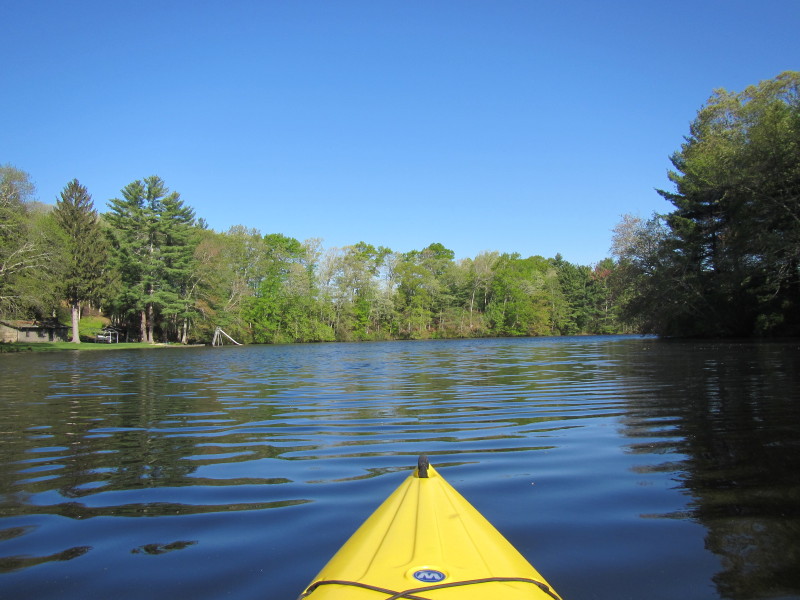
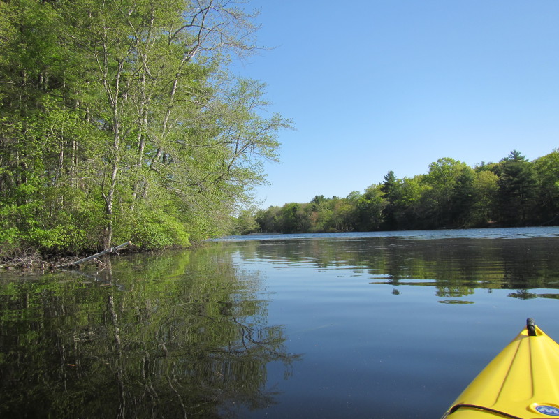
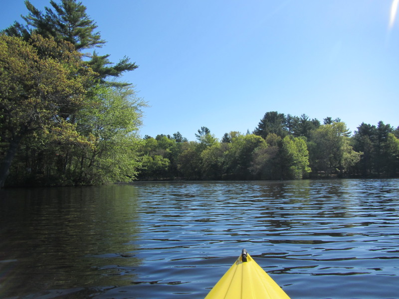
 River bending to the right again.
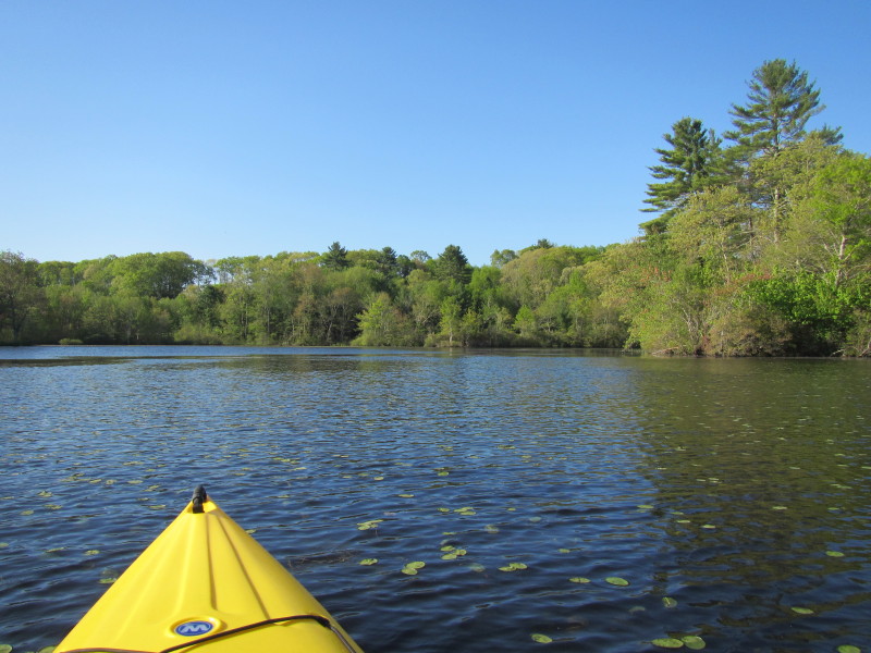
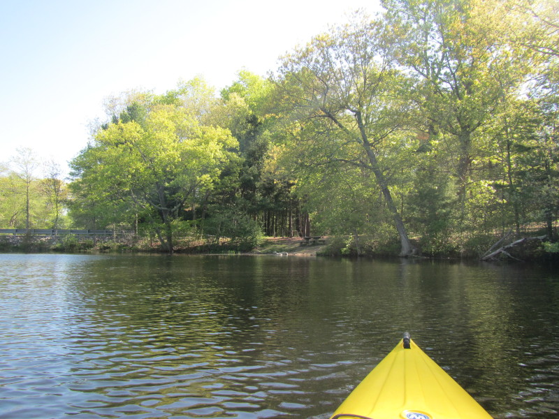
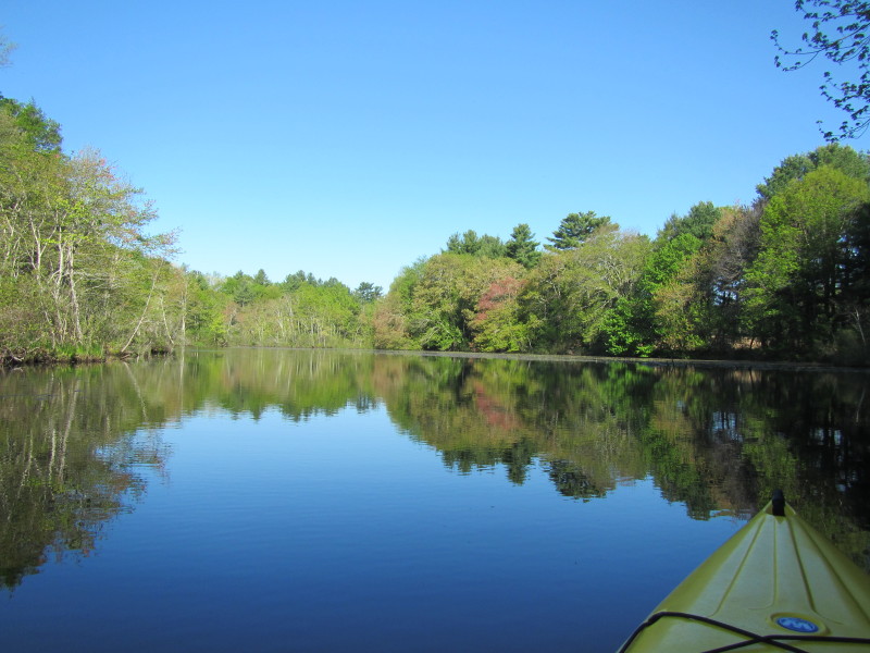 I have reached the southern end of Hopeville Pond.
 Just turn around and now paddling back.
 Passing under the Bitgood Road bridge again this time northwards.
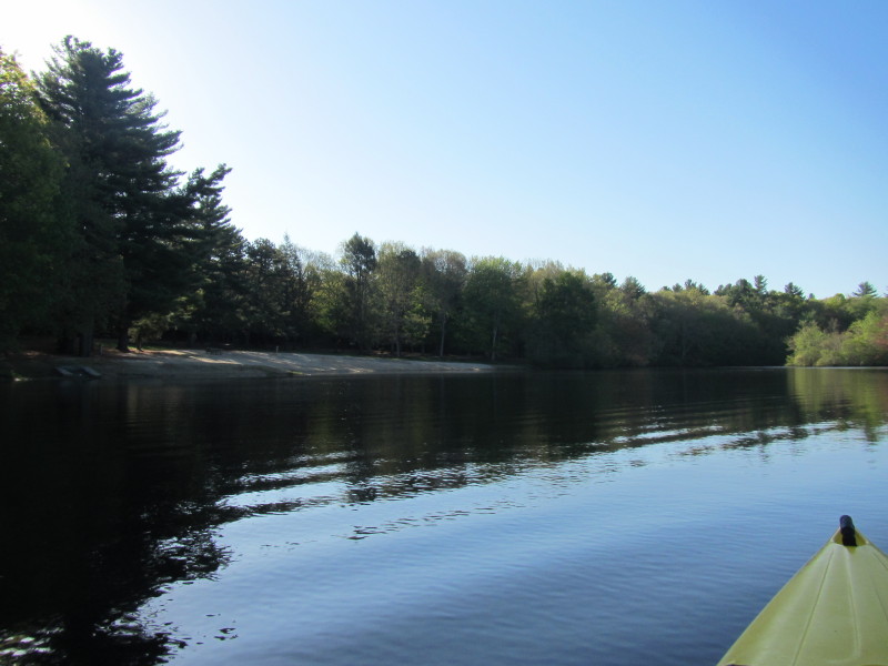
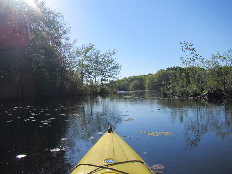
 I can now see one of the state park beaches.
 The two beaches of the state park visible in this photo.
The southerly beach on the right and the northerly beach in the background.
The two beaches of the state park visible in this photo.
The southerly beach on the right and the northerly beach in the background.
 Looking to my left is the Edmund Road bridge.
 Decided to paddle closer a little bit to the Edmund Road bridge.
 I am thinking/deciding whether I will paddle some more and go past this bridge . . .
 Tired already. Decided to turn around and head back to the launch cove.
 Turning to my left is the take out cove.
 My picture timestamps tell me I was on the water paddling for 1 hour and 35 minutes.
|