|
Download printer-friendly
PDF version that fits in one page: |
Other resources:
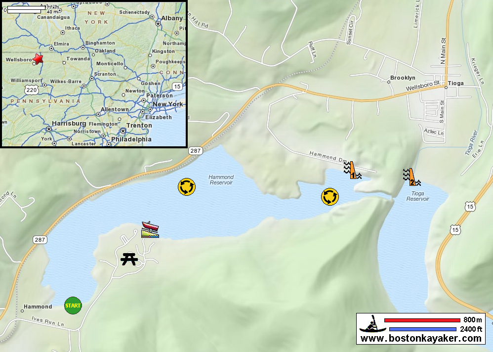
US Army Corps of Engineers: Tioga-Hammond Lakes Ives Run Campground Reservation All photos in this website are original and copyrighted. Trip date is May n2012. On Route 287 at the entrance to Hammond Lake. It was about 6am when I got here. Very foggy on the water. Sunrise on Hammond Lake. Just launched. Looking back at my put in. The paddle plan is to coast the south side, then dash to the north later when I can see better. Looking back, I can not see my put in. Public beach. Picnic pavillions on Ives Rec area. I will now make my dash to the north coast thru the fog. Now I can see the traffic on Route 287. Now paddling along the north coast. I was on the water for an hour and a half. Looking north on Crooked Creek from the bridge. Hammond Lake from Route 287. |