 Kayaker

|

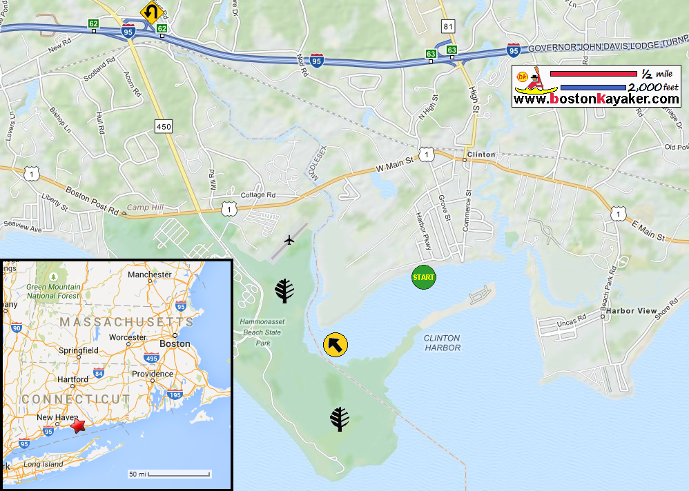


|
Download printer-friendly
PDF version that fits in one page: |

|
|
Other resources:
US Harbors: Clinton CT Harbor Tides Chart Paddling.net: Hammonasset River - Kayak Trip All photos in this website are original and copyrighted. 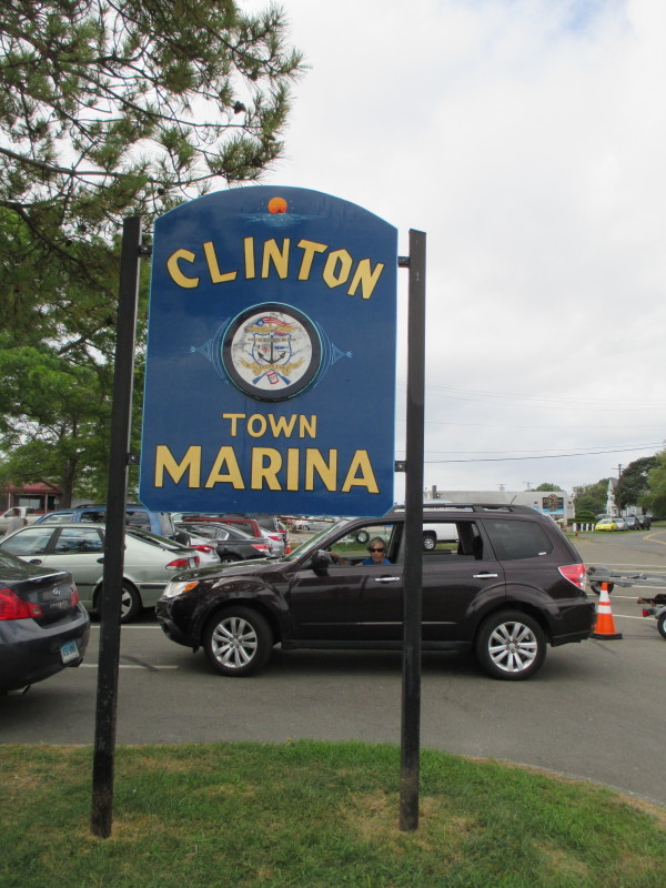
At the Town Marina on Riverside Drive in Clinton CT. Trip date is August 2016. 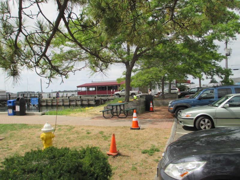
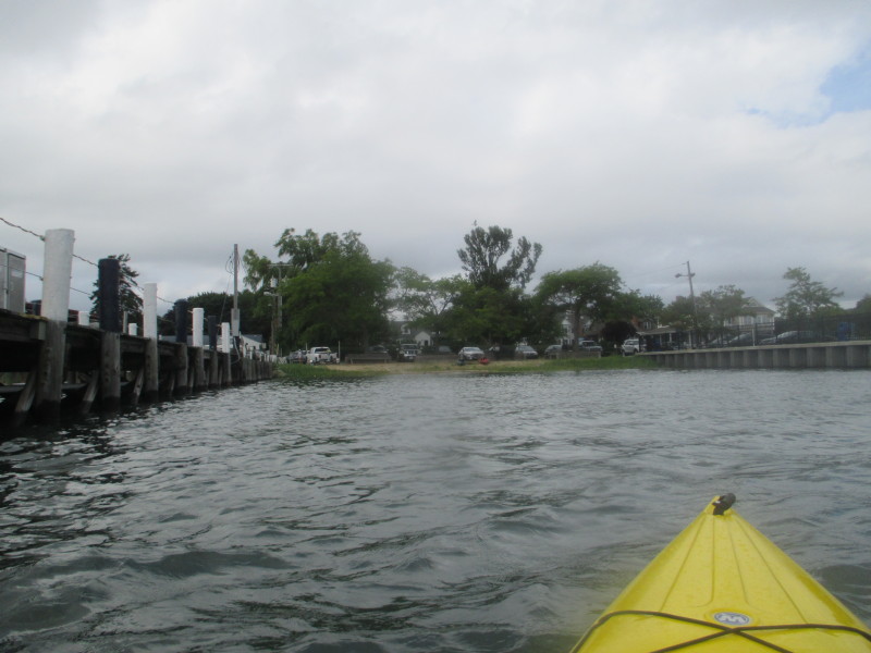
 This small stretch of town beach is the put in to Clinton Harbor.
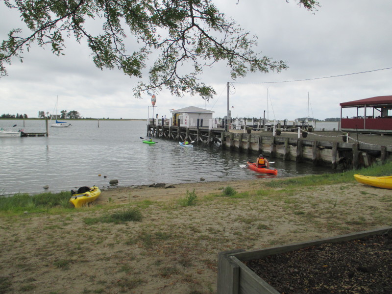
 The Boston Kayaker just launched into Clinton Harbor bound for Hammonasset River.
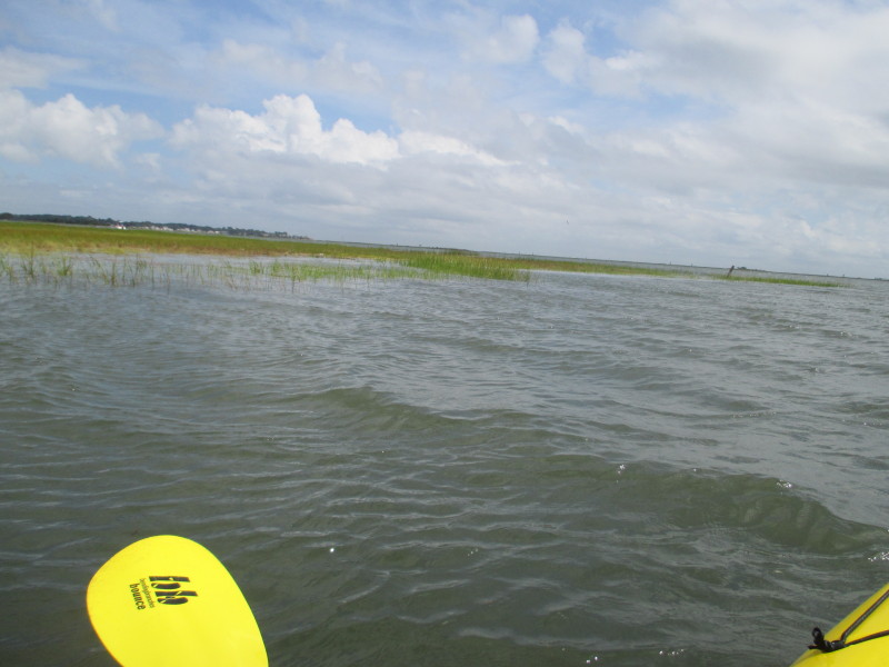
 A quick look on my left (east).
 Out of the launch cove, veering to my right (west).
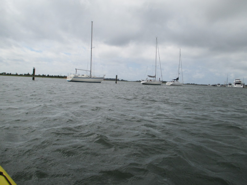
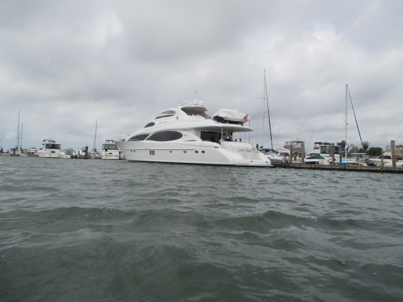
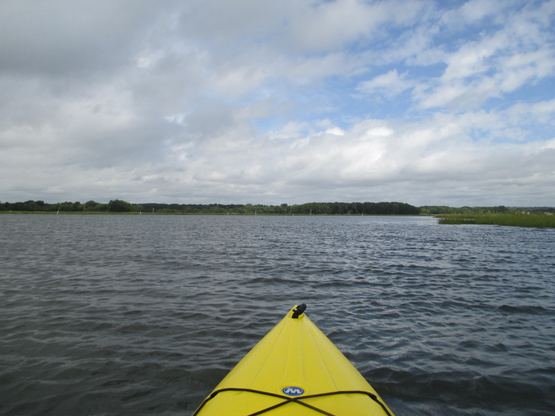
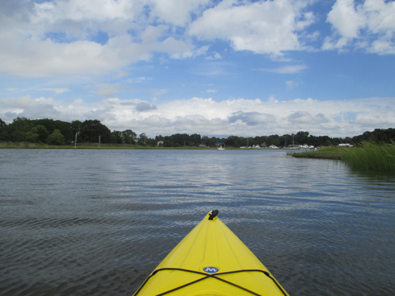
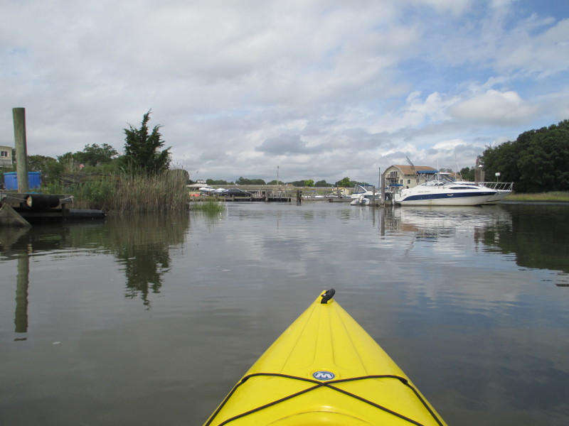
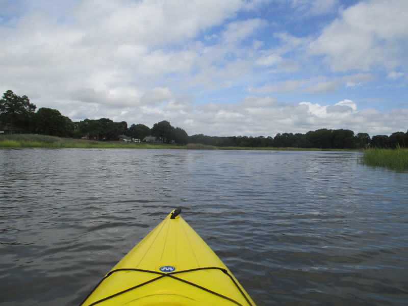
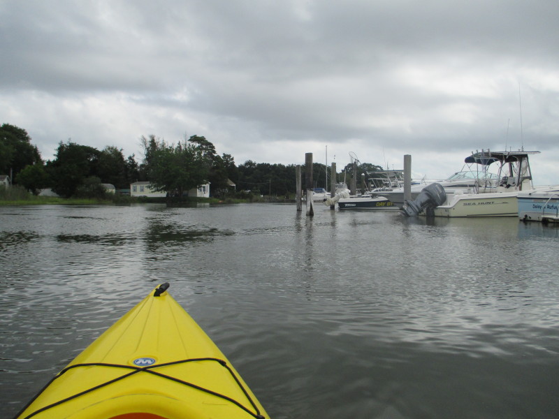
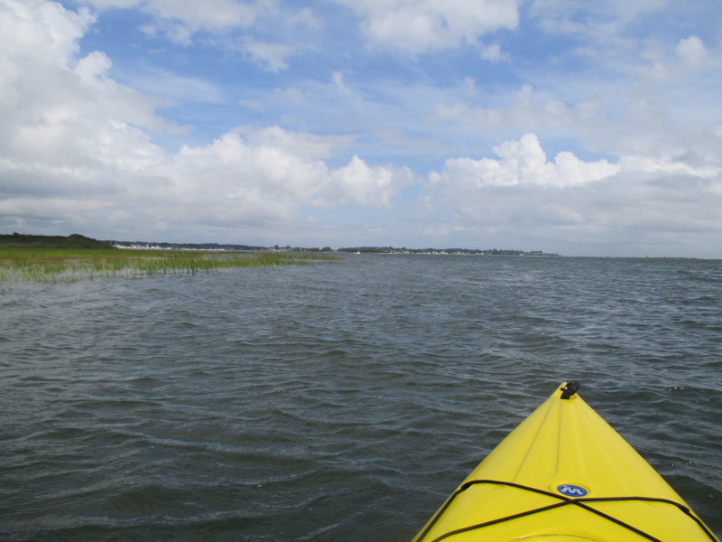
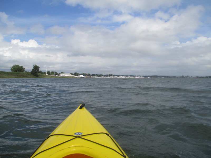
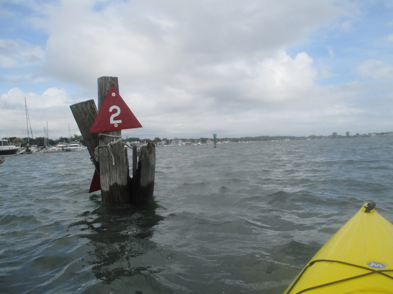
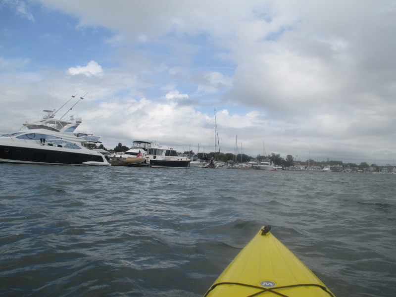
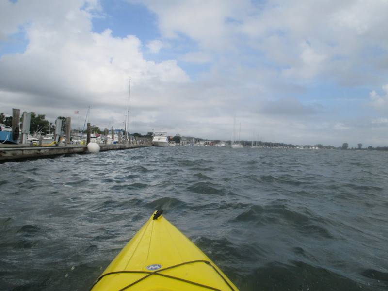
 Facing west, the boats on Clinton Harbor on my right.
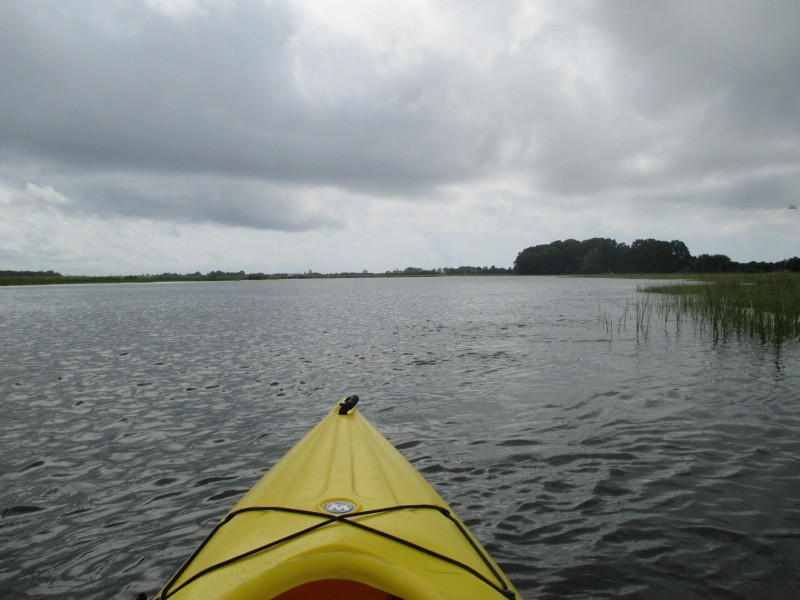
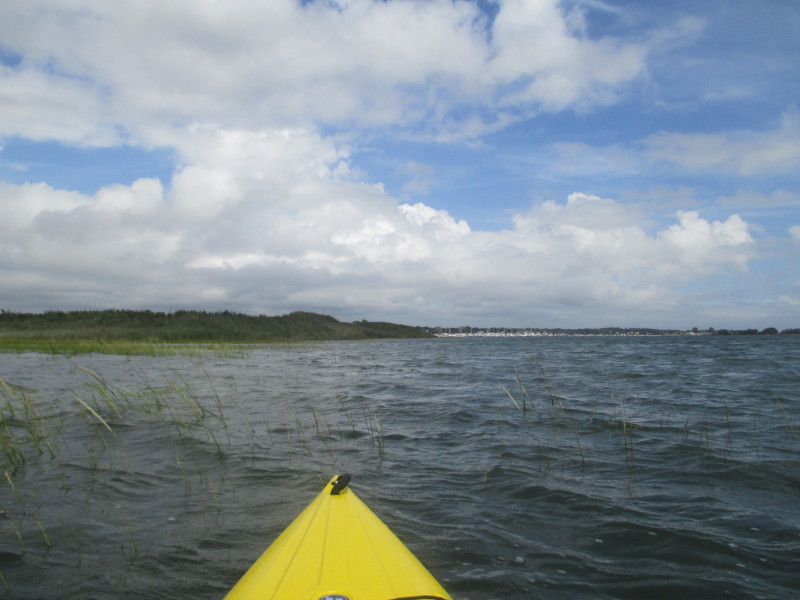
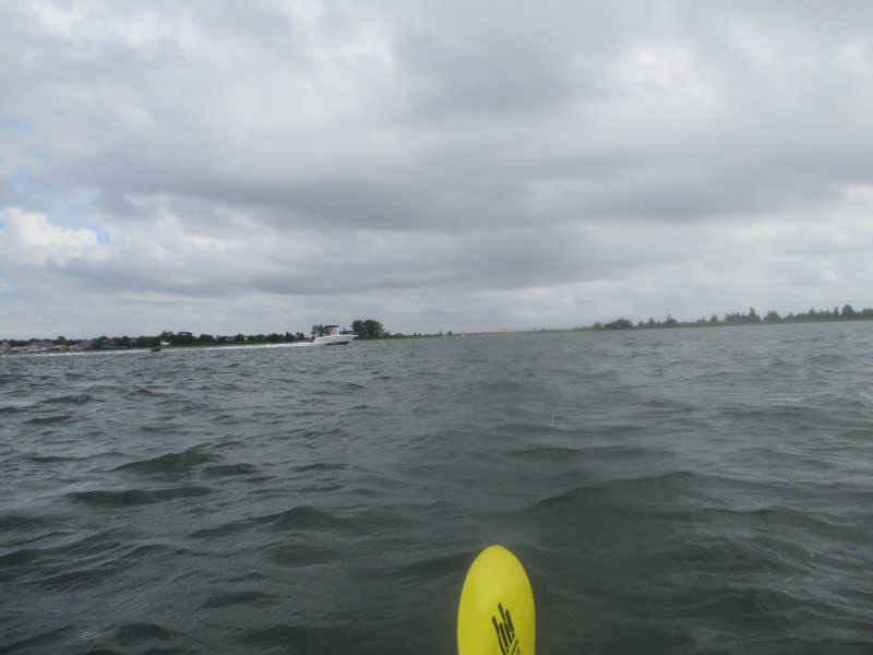
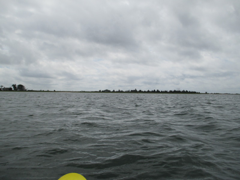 To my left, the Hammonasset State Park barrier beach.
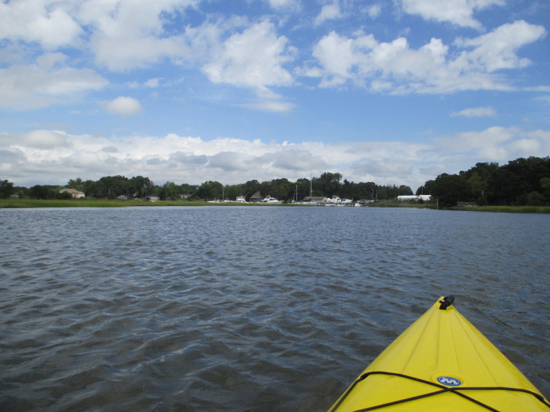
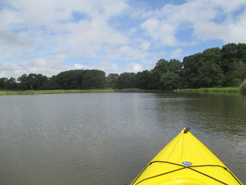
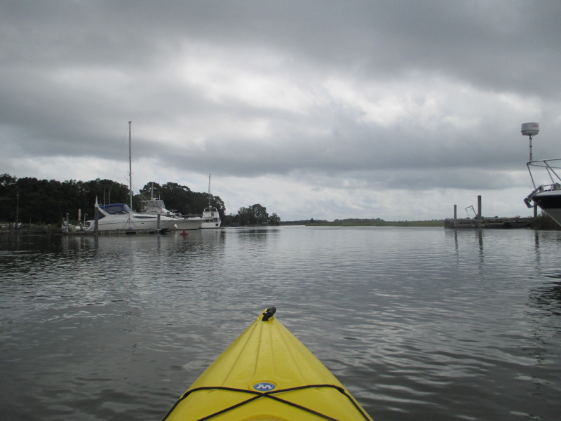
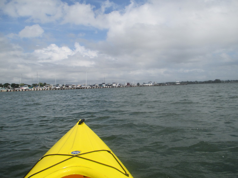
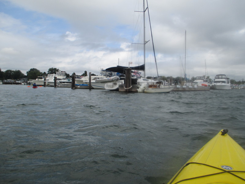
 Continuing westwards, this fence-like structure is the end of the marinas.
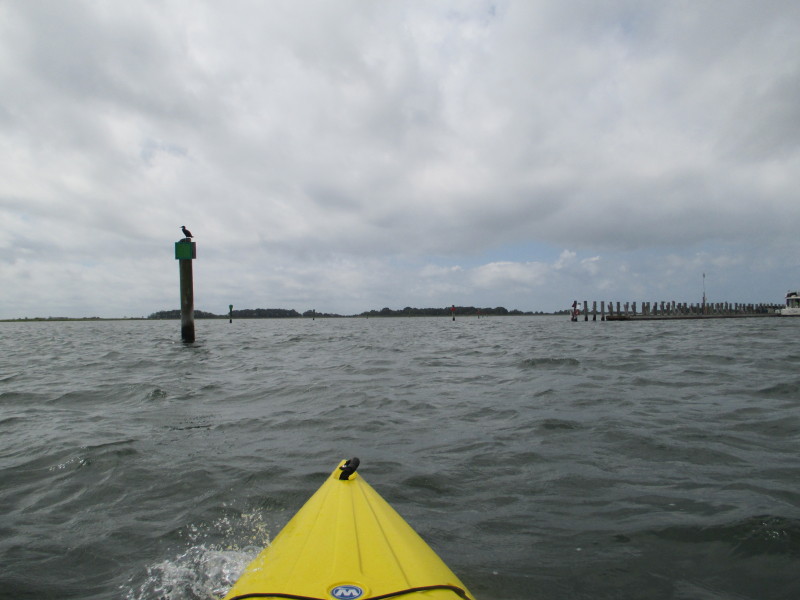
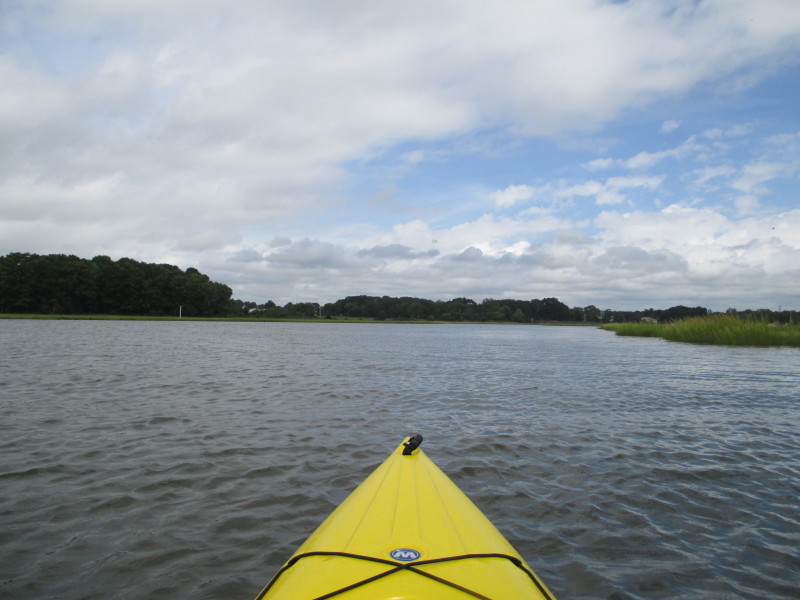
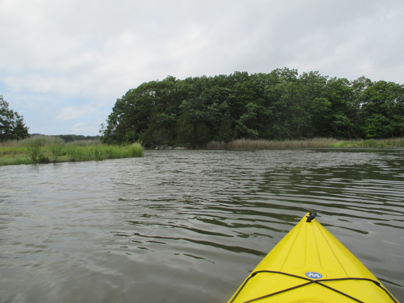
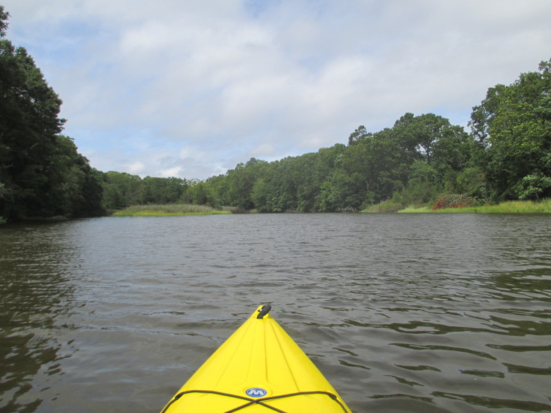
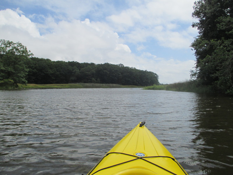
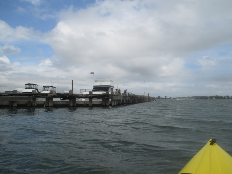
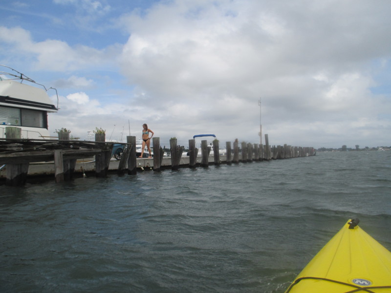
 Somewhere here is the mouth of the Hammonasset River . . .
 I can now see the mouth of Hammonasset River as it drains into Clinton Harbor.
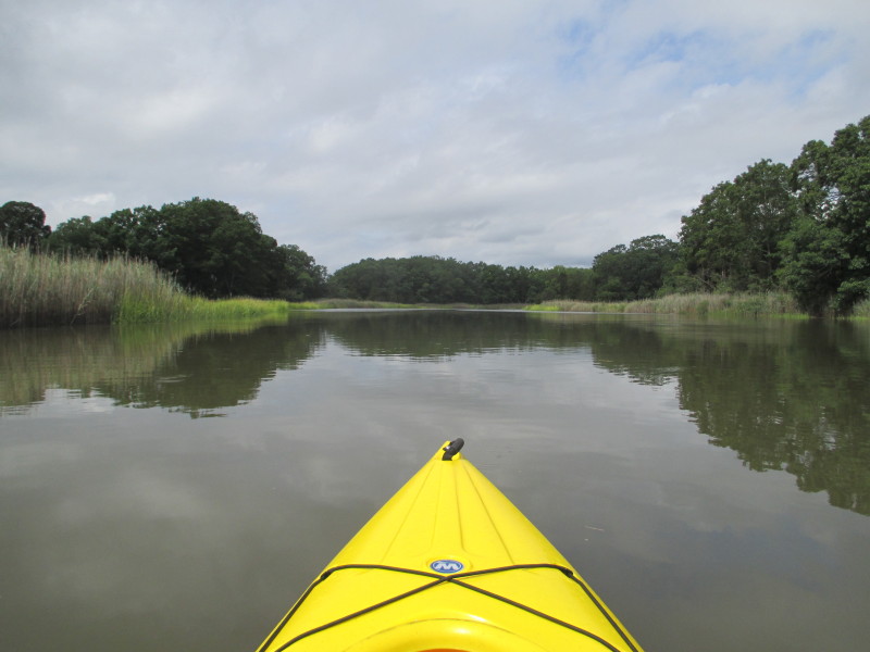
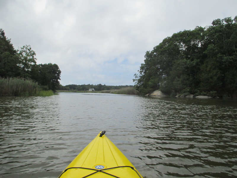
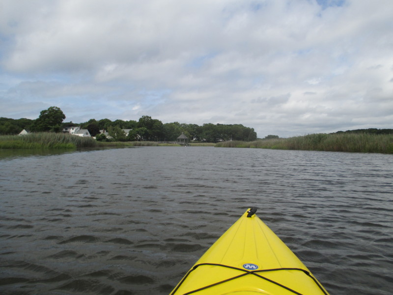
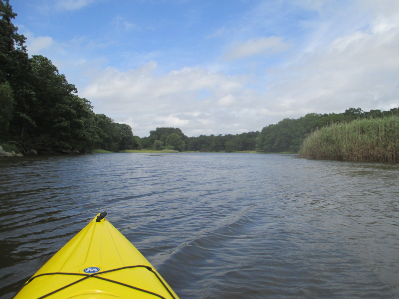
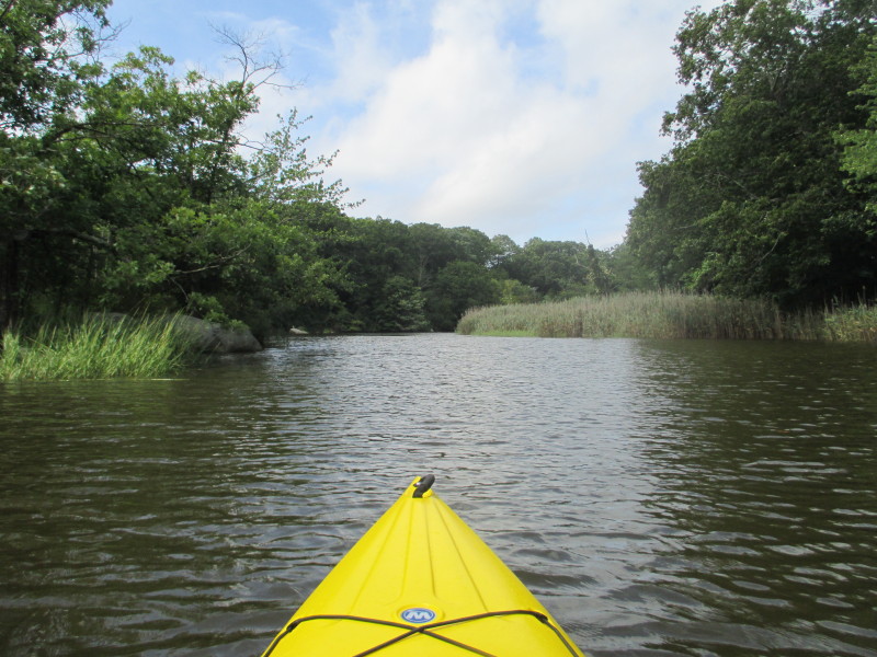
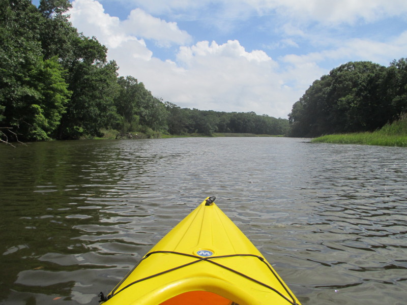
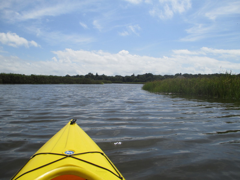
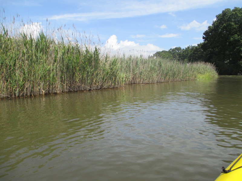
 Entering into Hammonasset River.
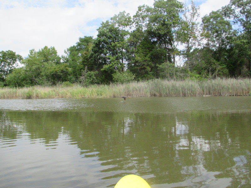
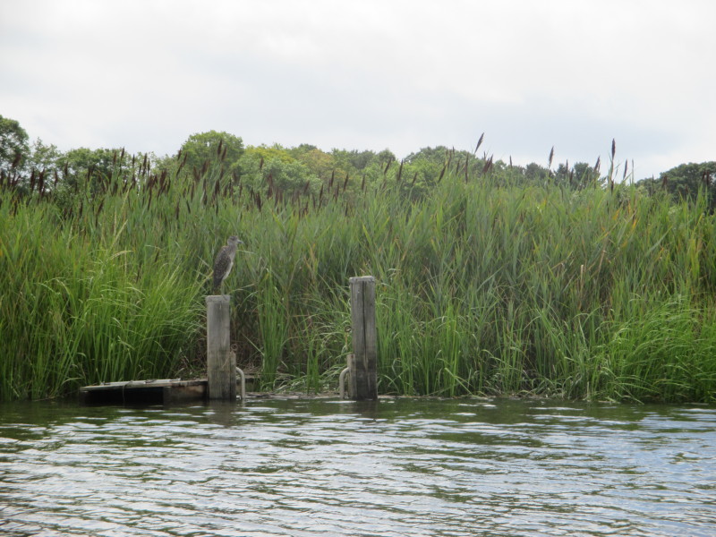
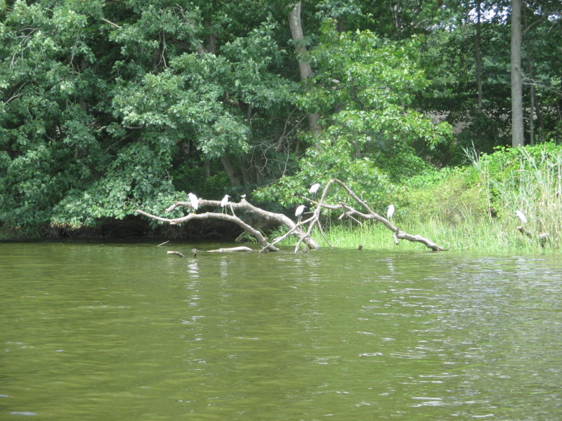
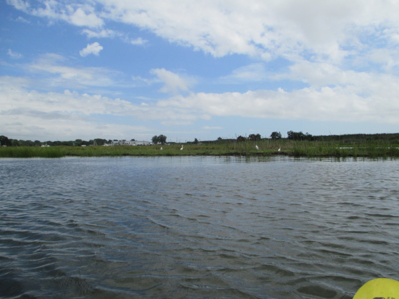 White herons on the banks of the Hammonasset River.
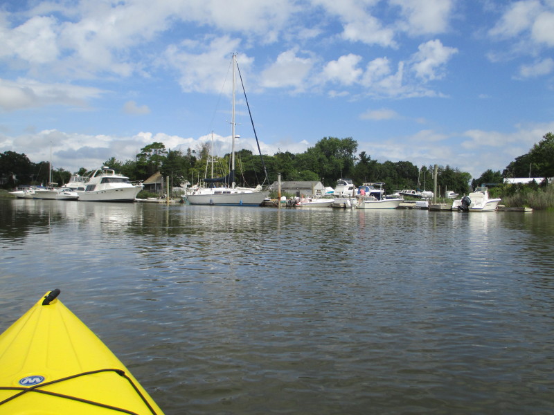
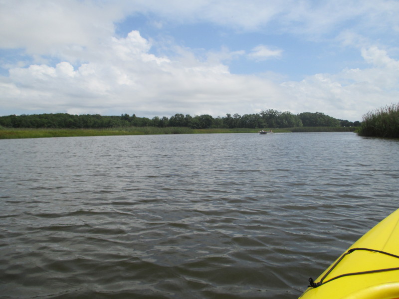
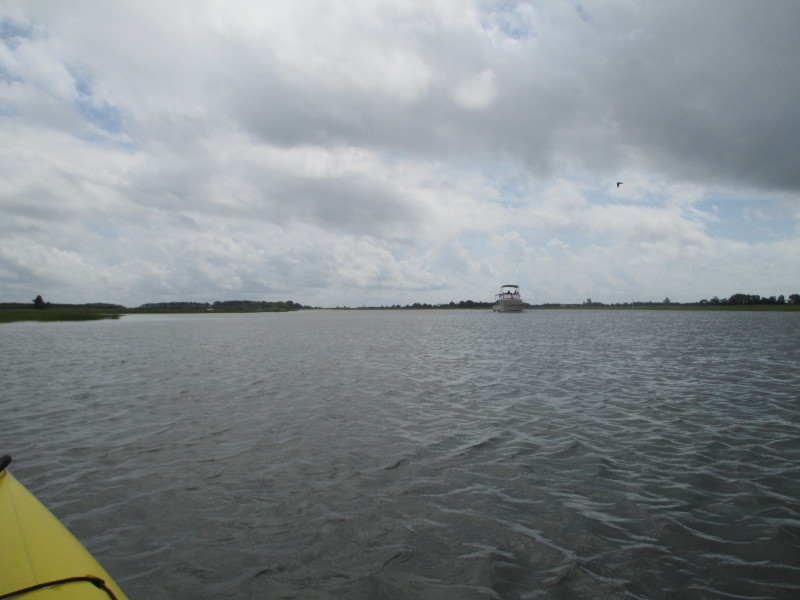
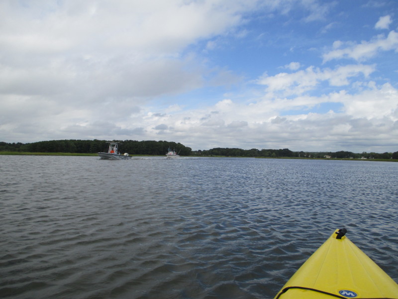 Powered boats.

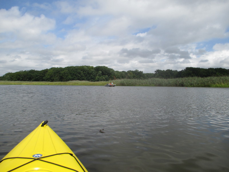
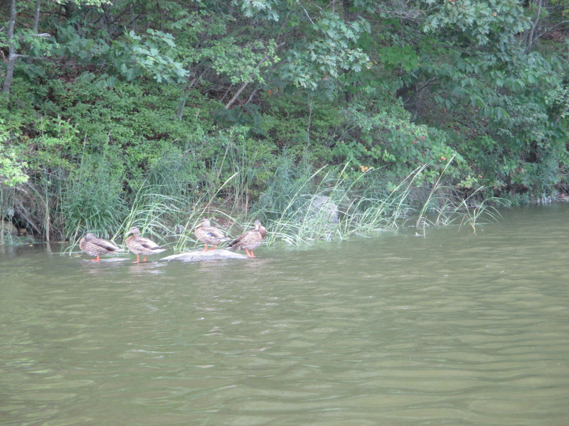
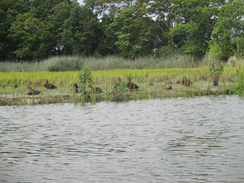 The resident ducks of Hammonasset.
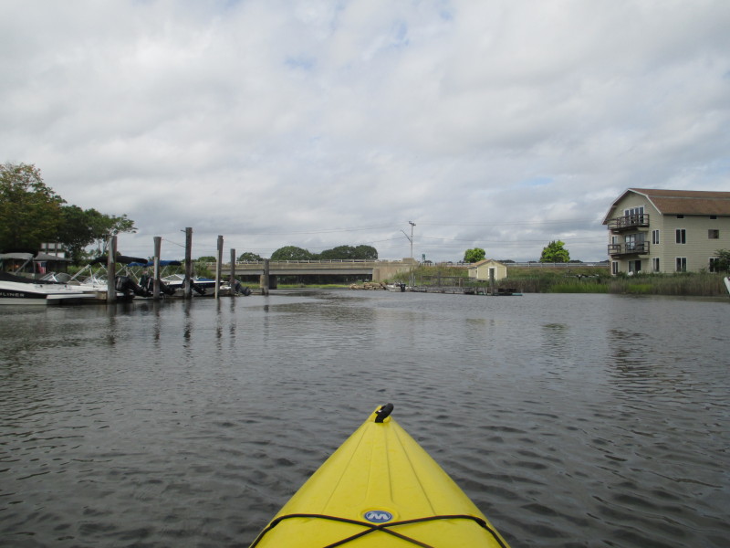
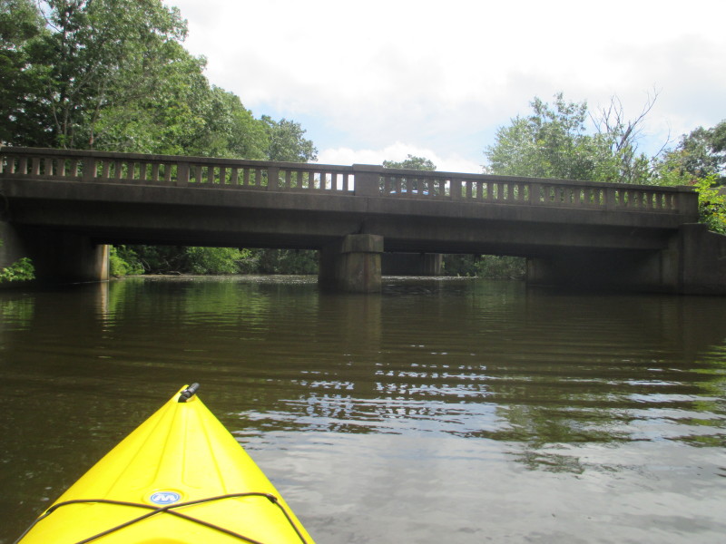
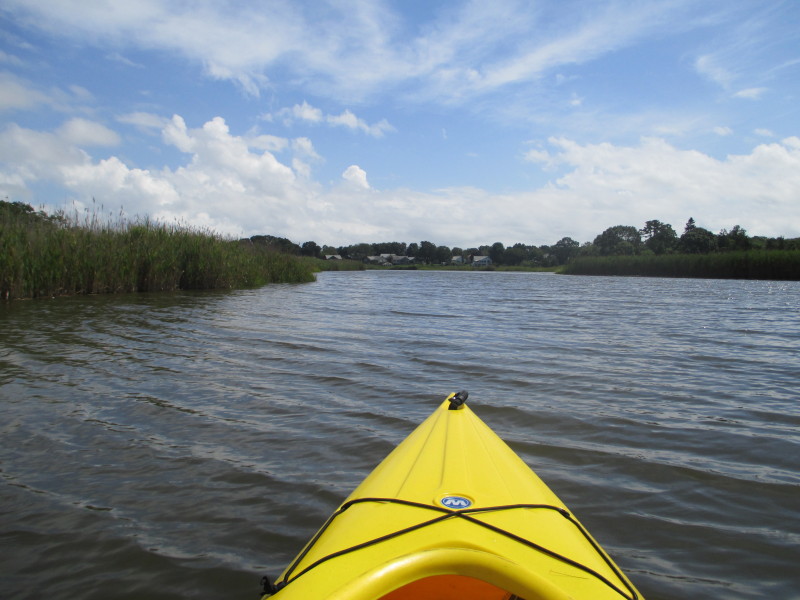
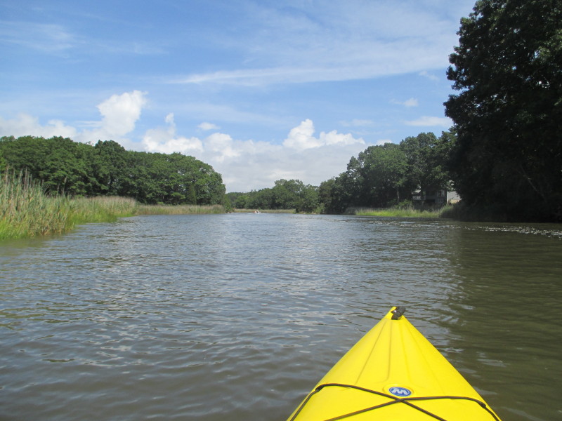
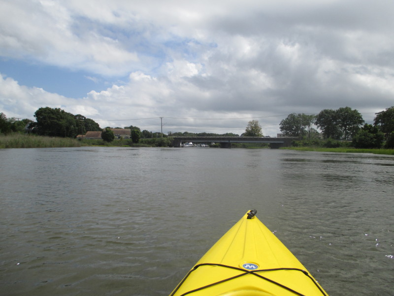
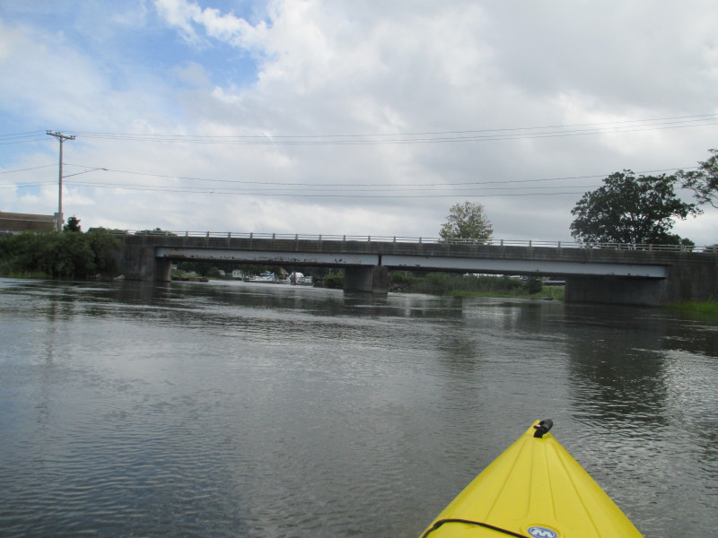
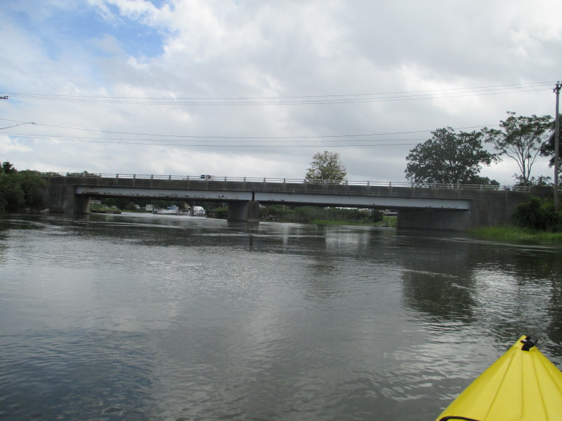
 Approaching the Route 1 bridge.
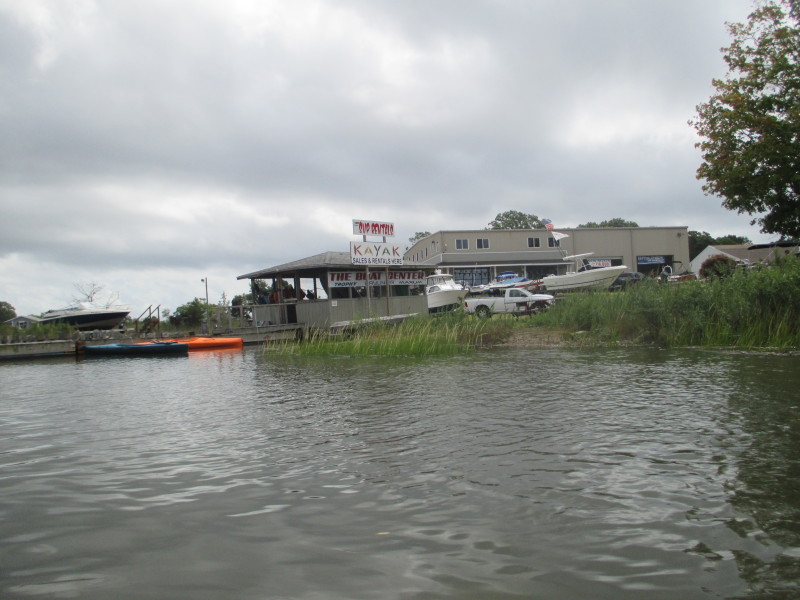
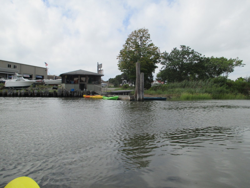 On my left, just before the Route 1 bridge is the Boat Center kayak rentals.
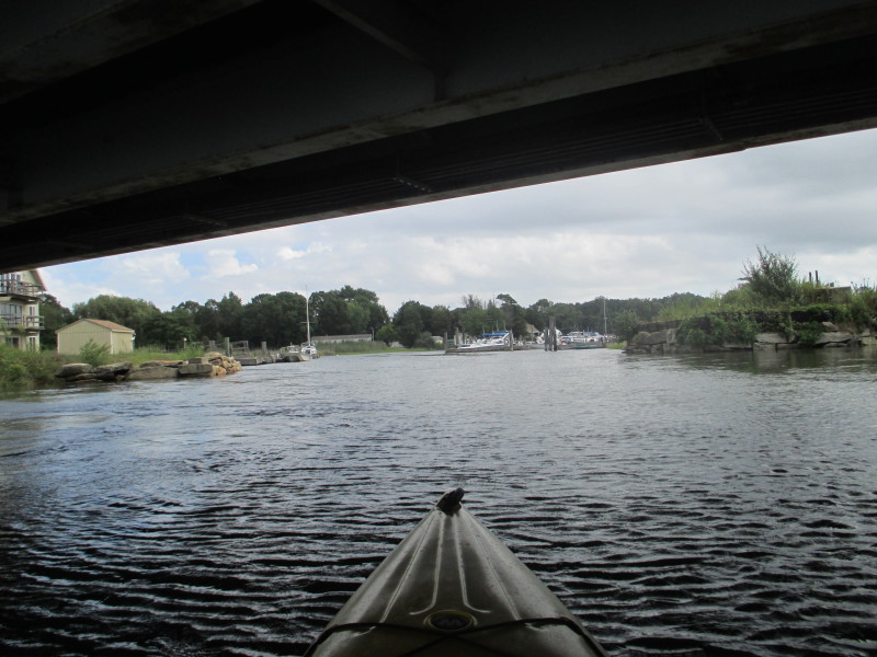
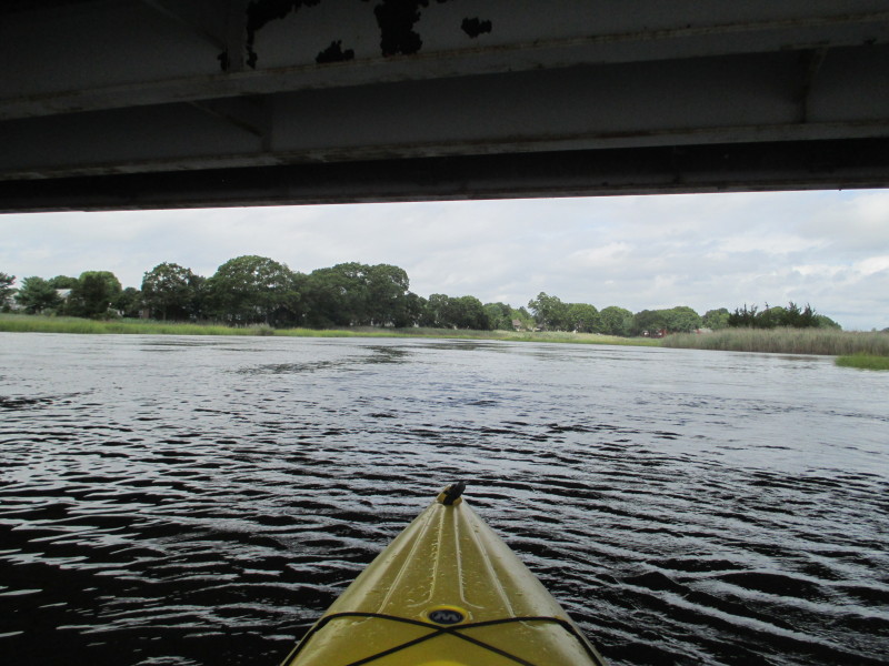 Paddling under the Route 1 bridge over the Hammonasset River.
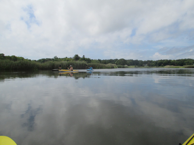

 A father and his two kids laying traps on the water.

 Approaching the AmTrak rail bridge.
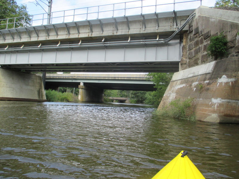 Three bridges. 1) AmTrak rail 2) I-95 and 3) River Road
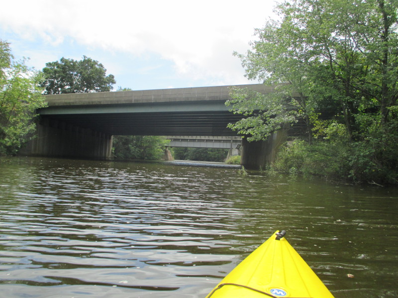
 Under the I-95 bridge over the Hammonasset River.
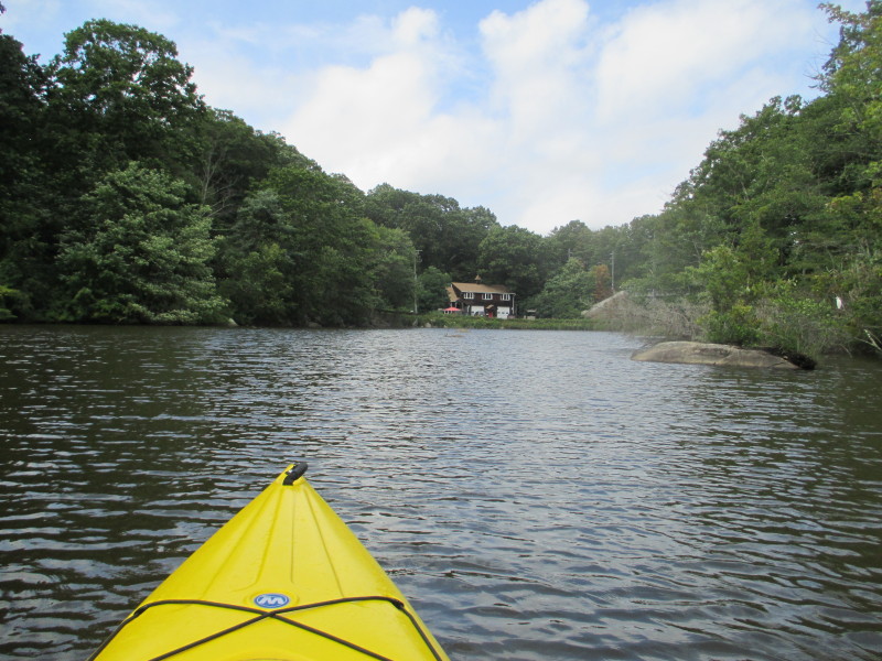
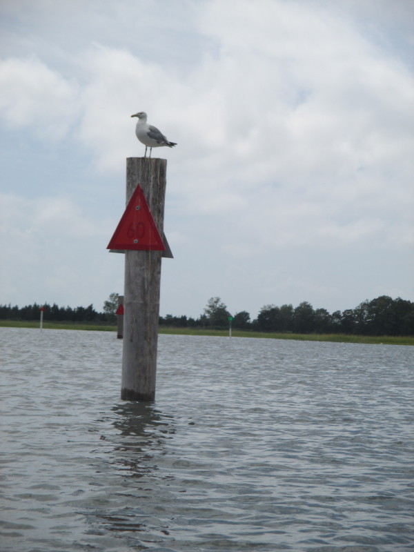
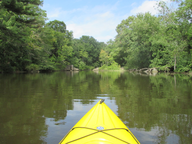 Past the River Road bridge, I can see these abutments.
On closer inspection, the water is still flowing upstream at the abutments. 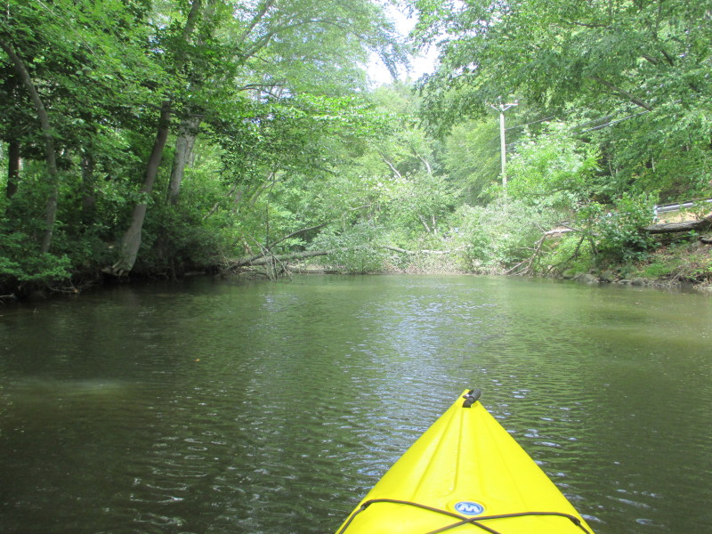
 Soon after the abutments, a downed tree spanning the Hammonasset River.
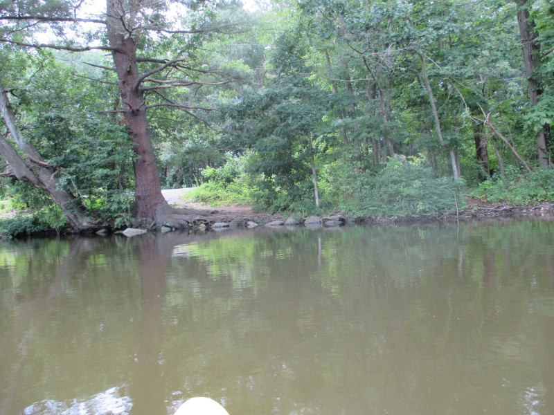
I have reached my point of return. 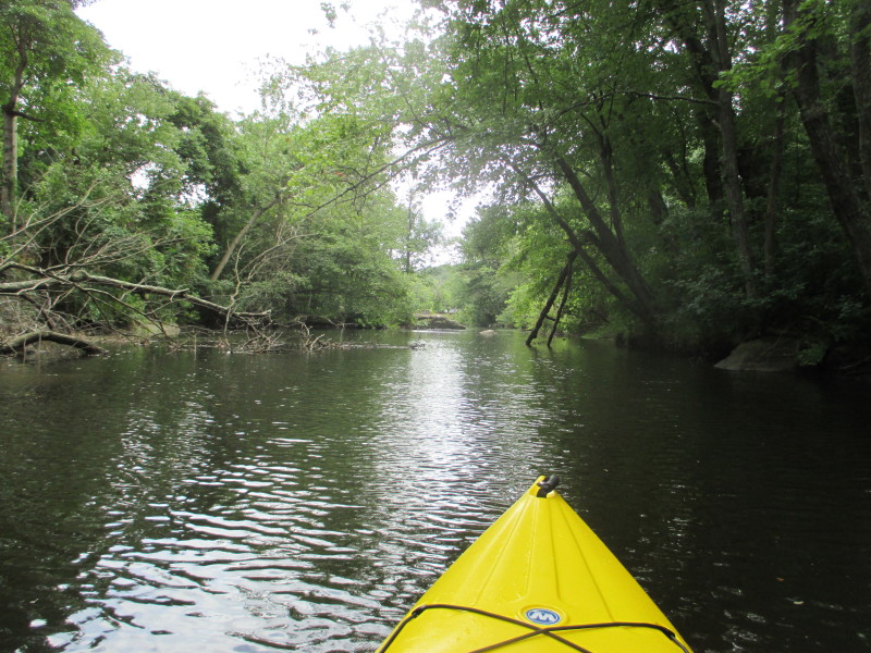 Just turned around and now paddling back to where I came from.
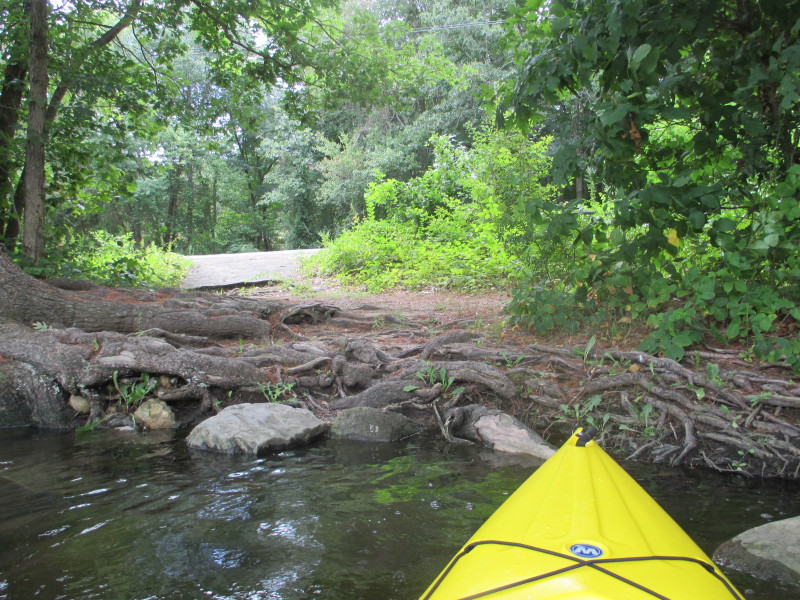
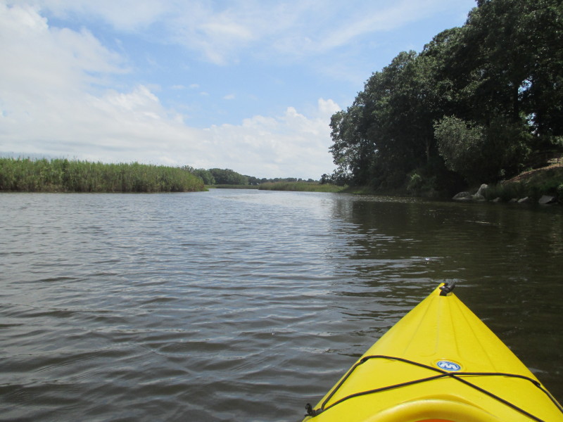
 On the right (west), just north of the River Road bridge is this informal access to the Hammonasset River.
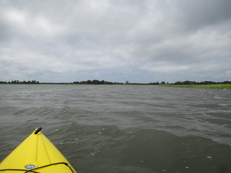
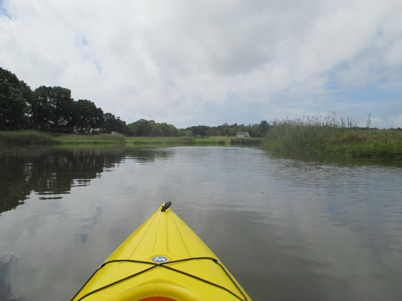
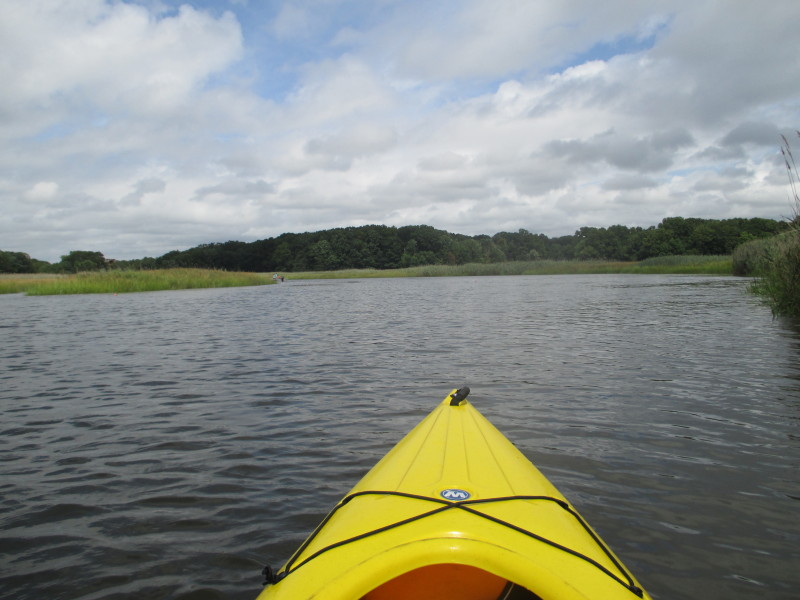
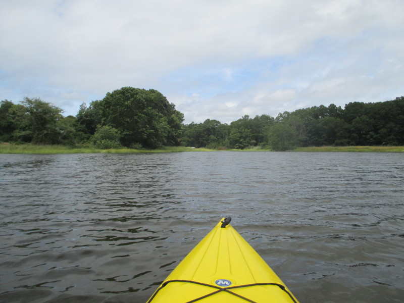
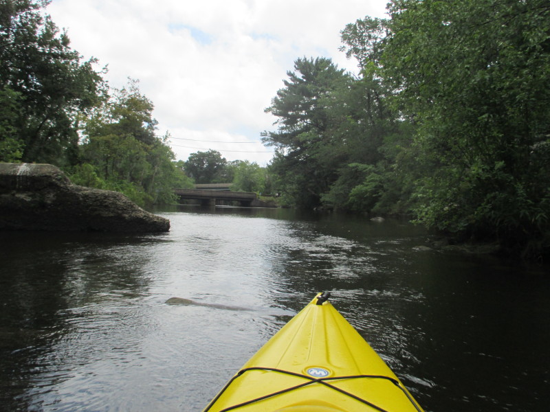
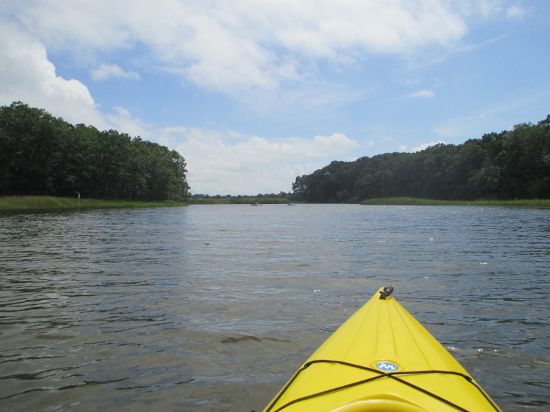
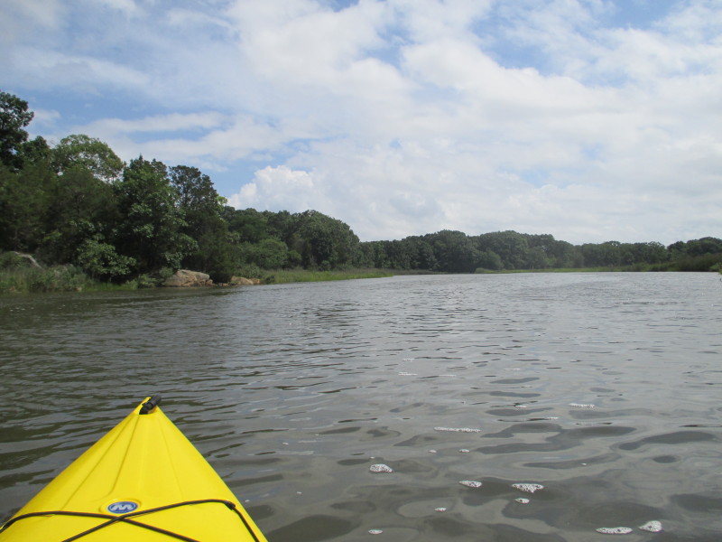
 Just past the three bridges.

 The father and his traps.
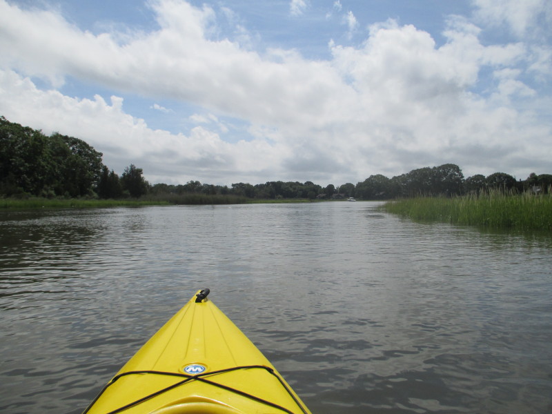
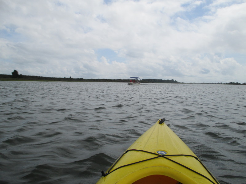
 Approaching the Route 1 bridge.

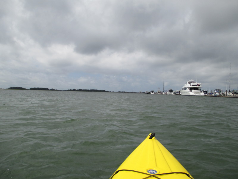
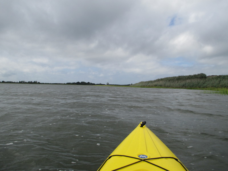
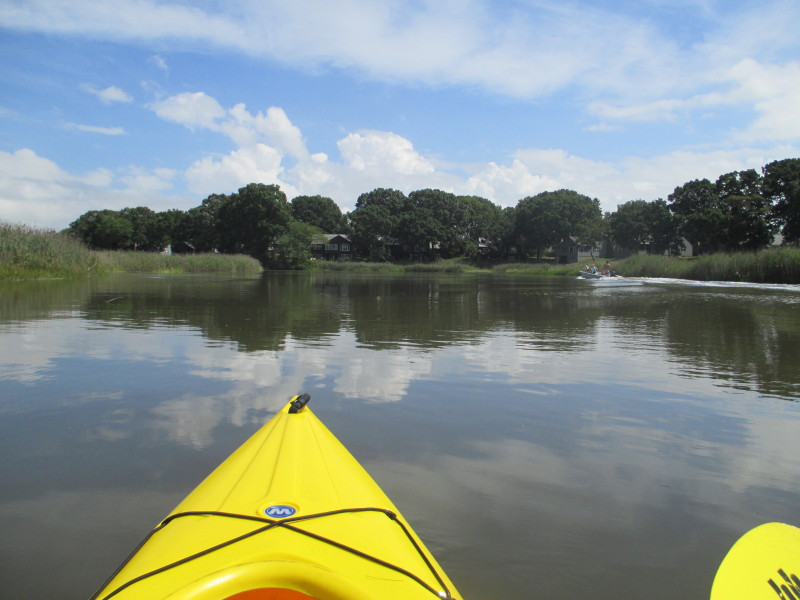
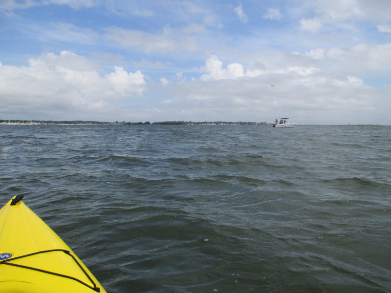
 Just entered Clinto Harbor.
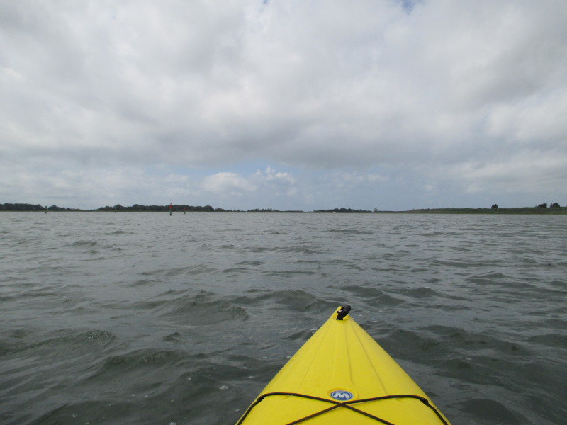
 I am really struggling with the wind in my face and the choppy waters!
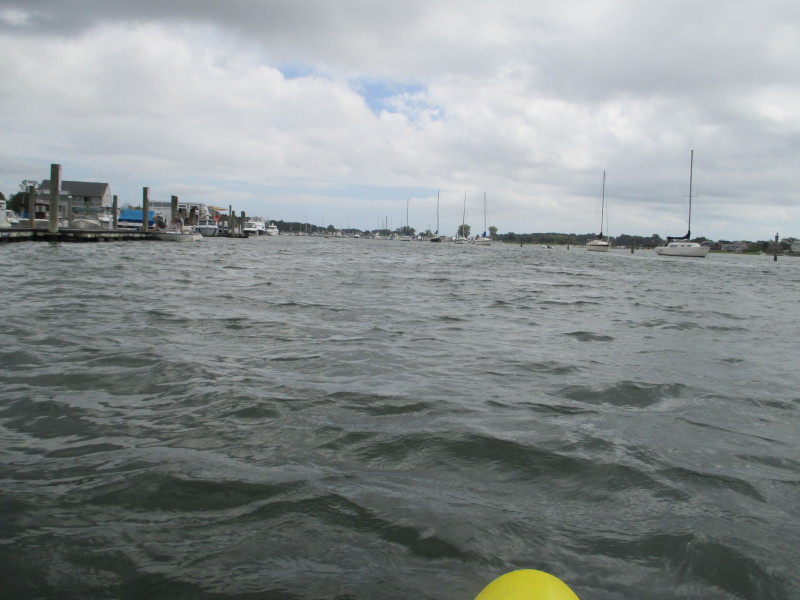
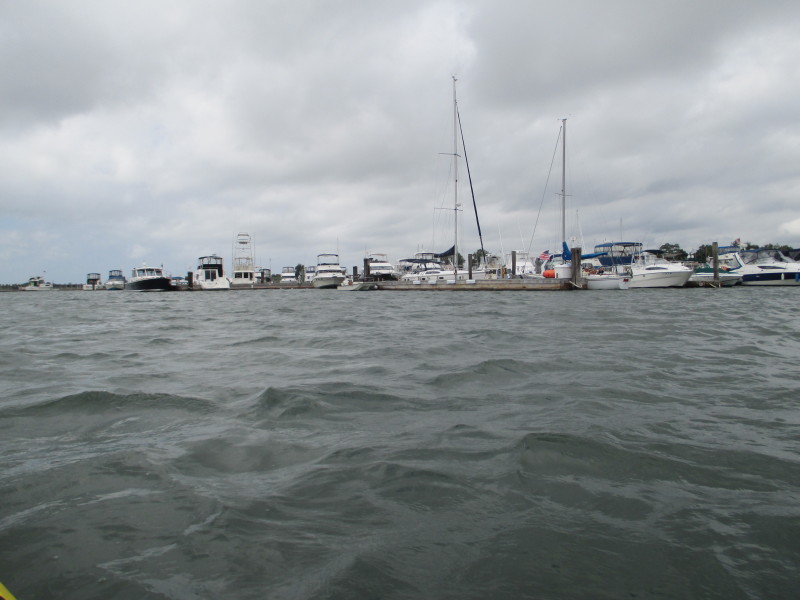
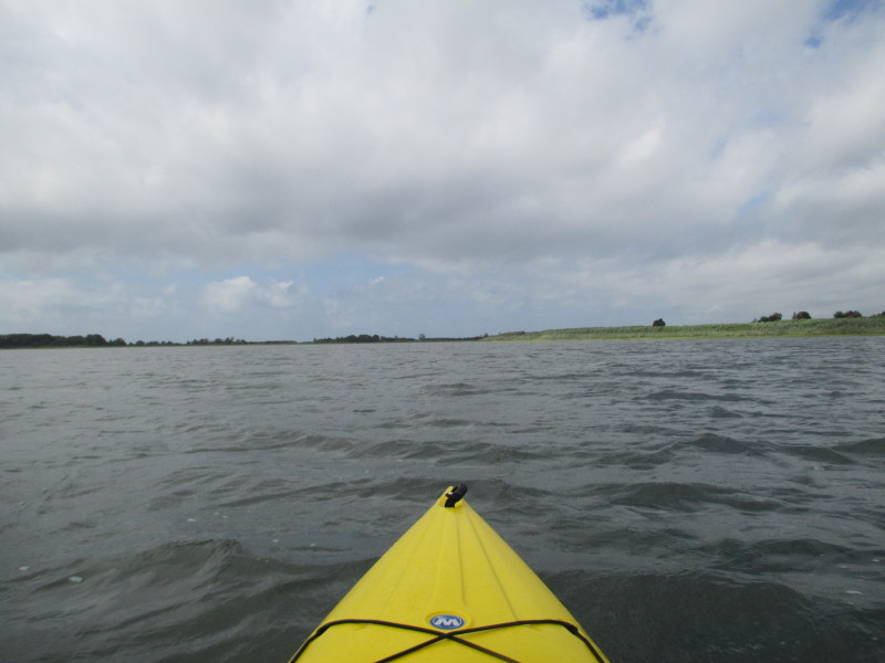
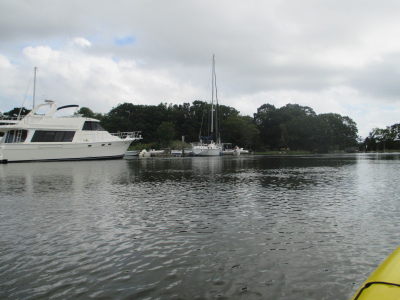
 Now at the harbor marinas.
 I am soaking wet and my camera lens also wet.
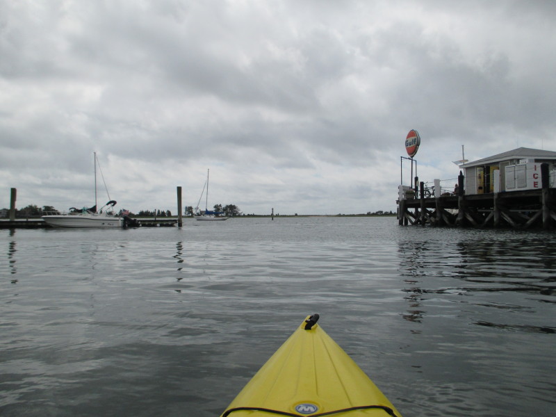
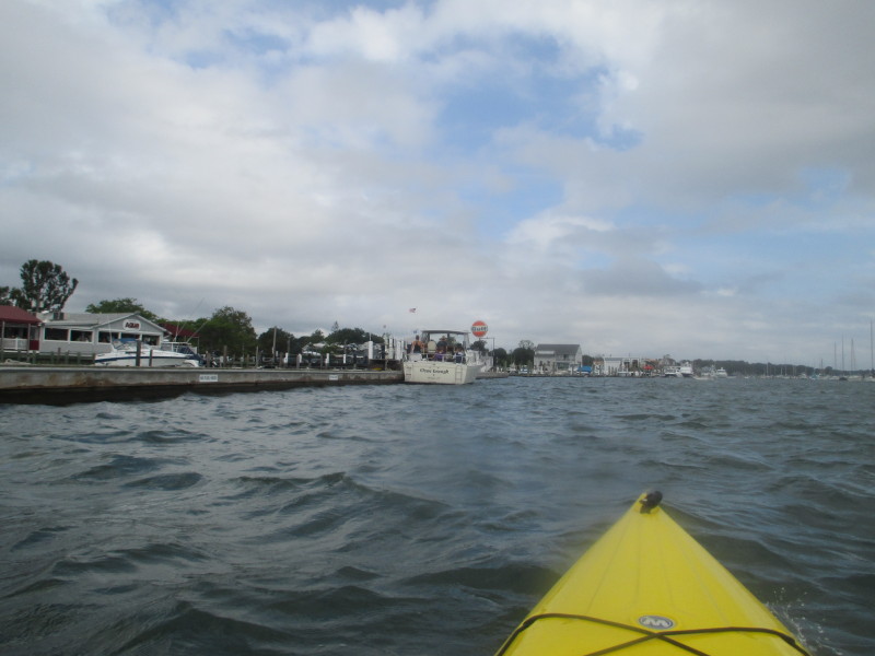 Next to that Gulf gas station is the public beach where I came from.
 Landed. Paddle time is 2 hours and 30 minutes.
|