 Kayaker

|


|
Download printer-friendly
PDF version that fits in one page: |

|
|
Other resources:
CT Govt: Gardner Lake State Park CT Govt: Gardner Lake State Park Boat Ramp CT Govt: Gardner Lake Bathymetry Map CT Govt: Gardner Lake Bathymetry Map (cached copy) LakeLubbers: Lake Gardner All photos in this website are original and copyrighted.  At Gardner Lake on Route 354 in Colchester CT.
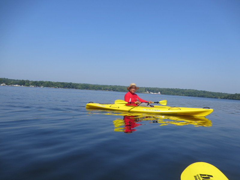
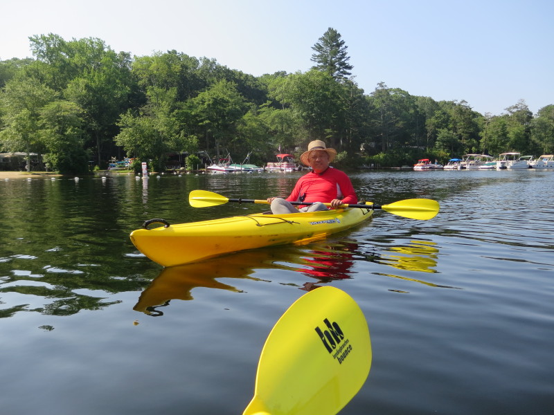
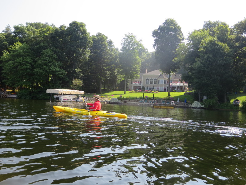
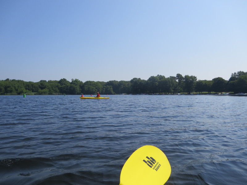
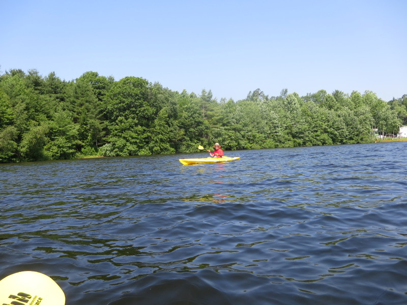
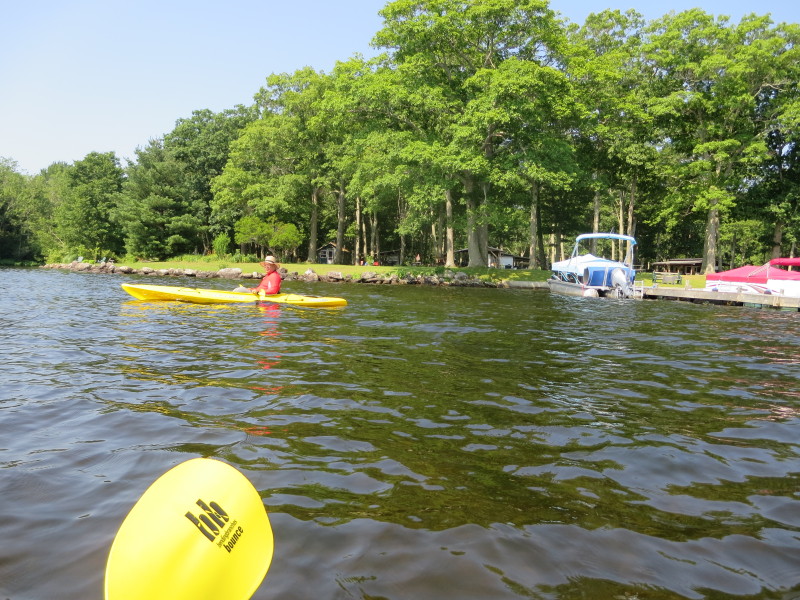
Trip date is July 2018. 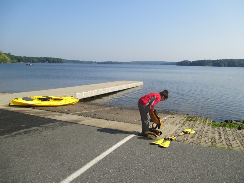 Today's kayak buddy is the Boston Kayaker's wife.
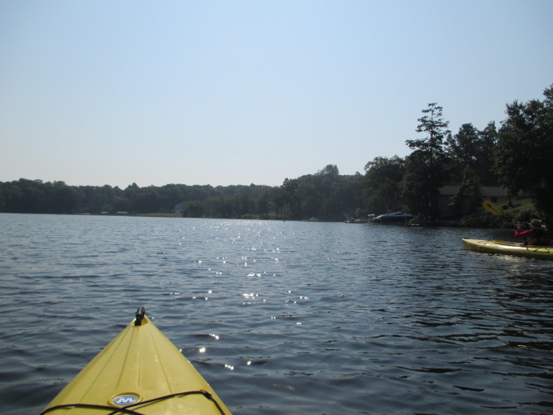
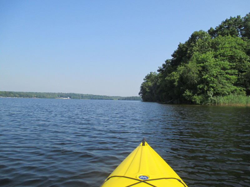
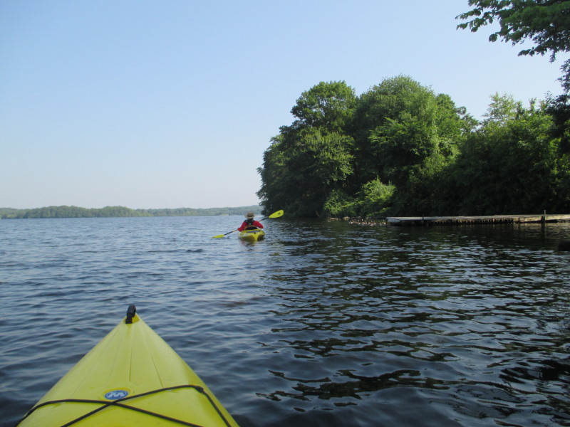
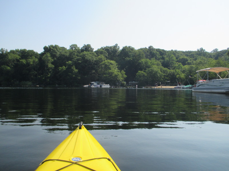
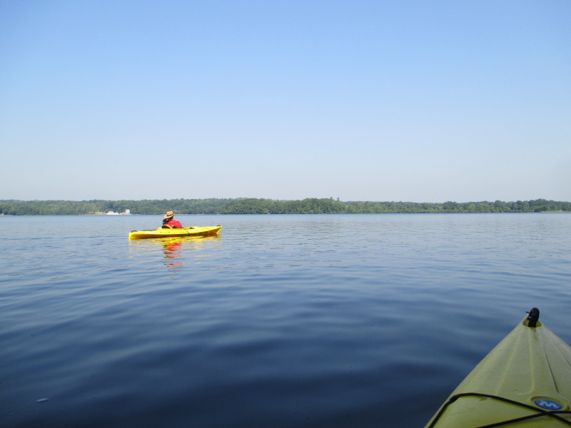
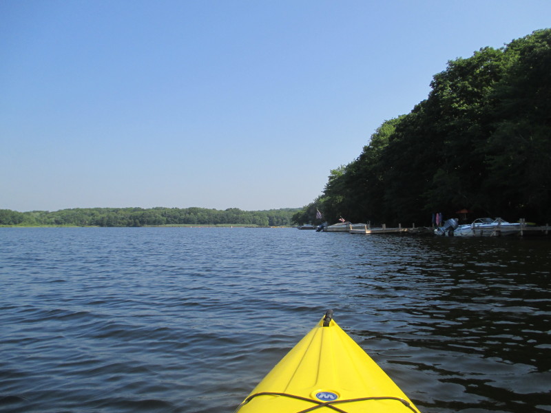
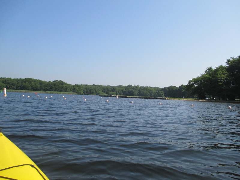
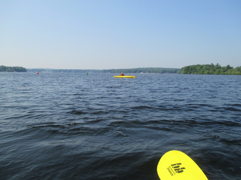
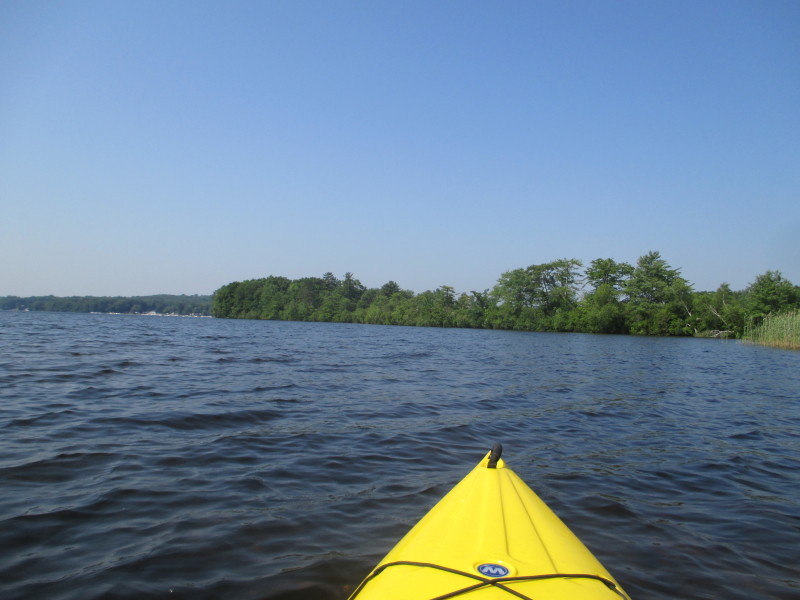
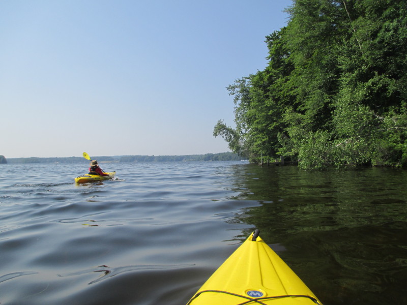
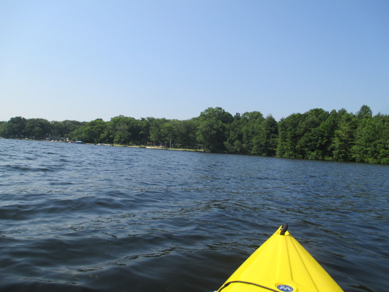
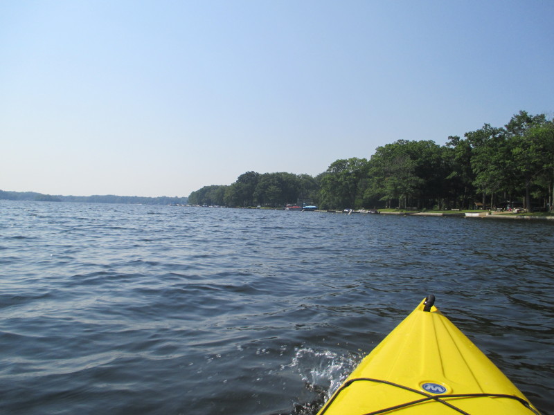
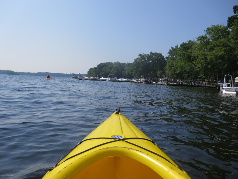
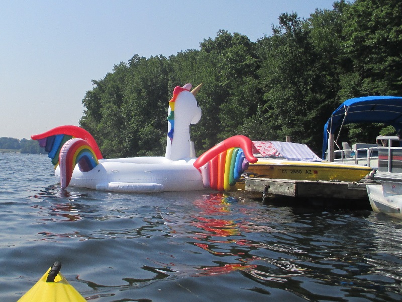
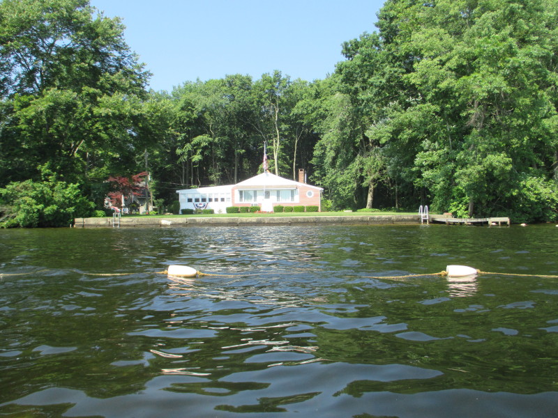
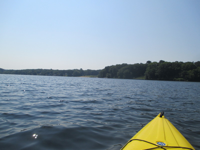
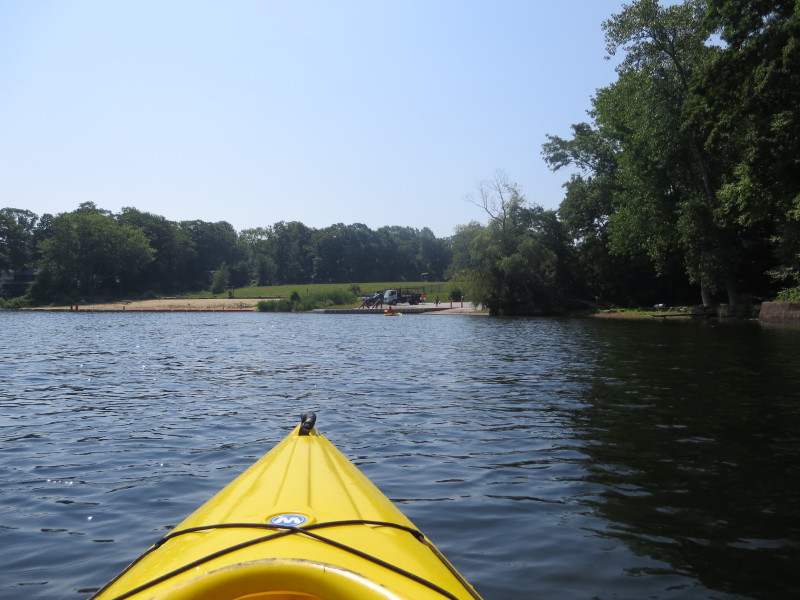
 Just launched on Gardner Lake. Paddle to the right.
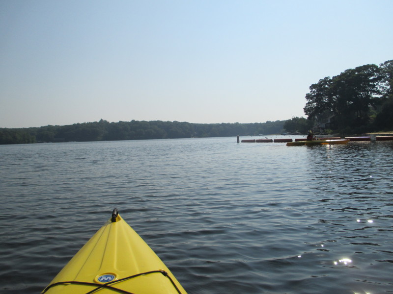
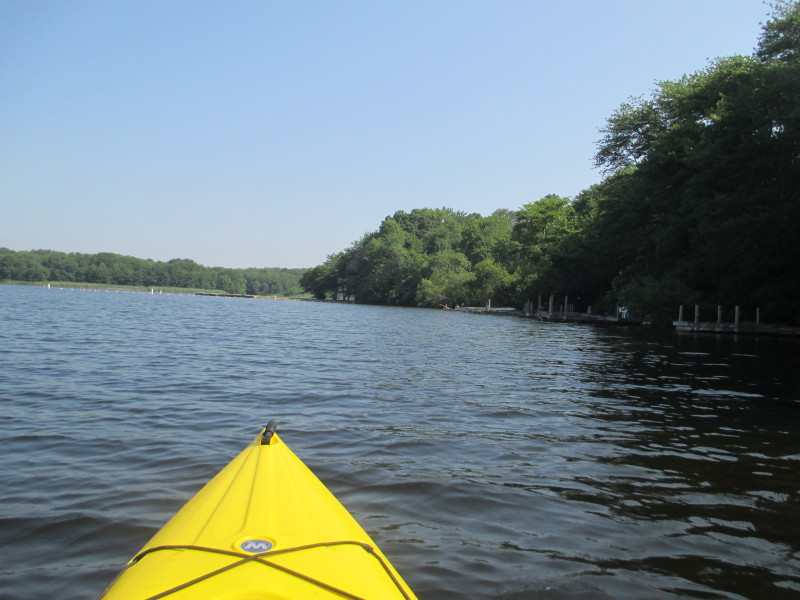
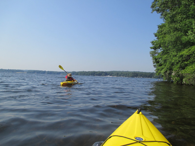
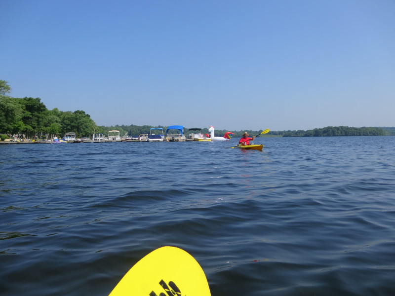
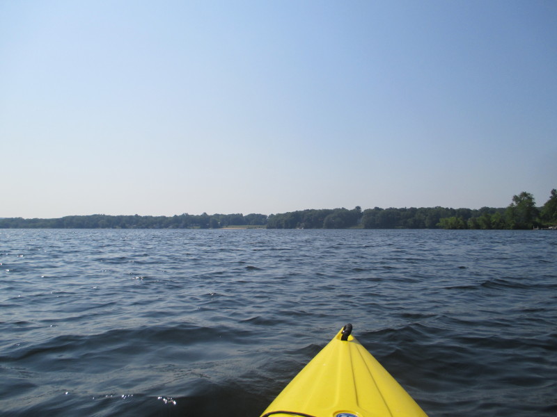
 The plan is to circle Gardner Lake counter-clockwise.
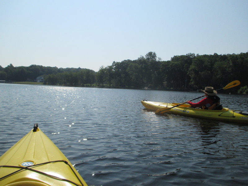
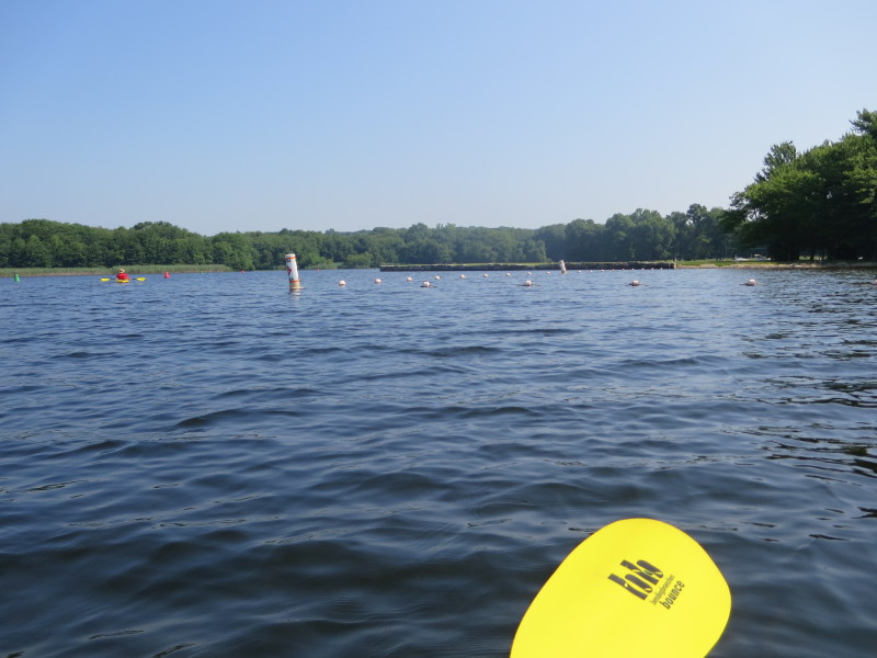
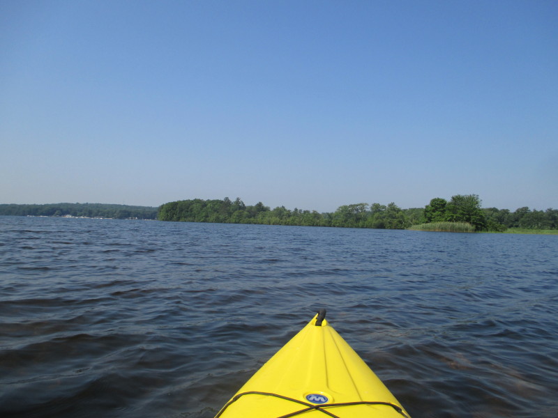
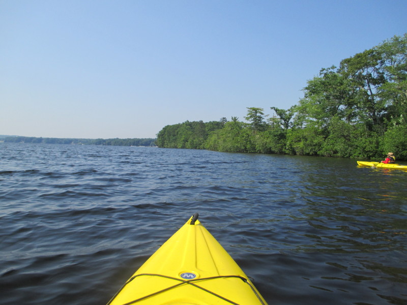
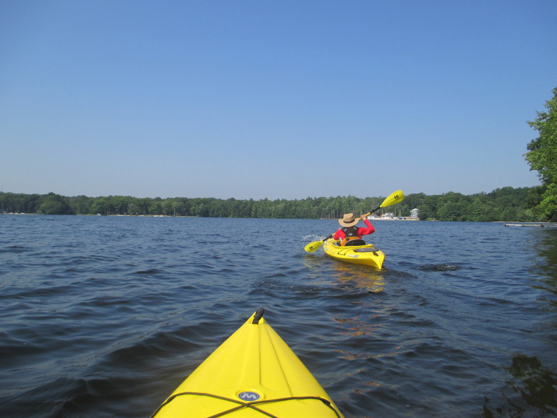
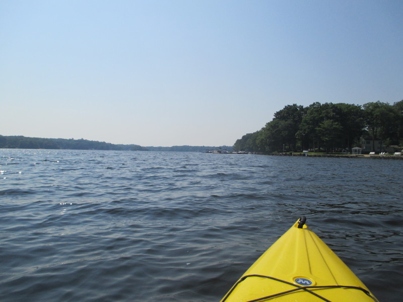
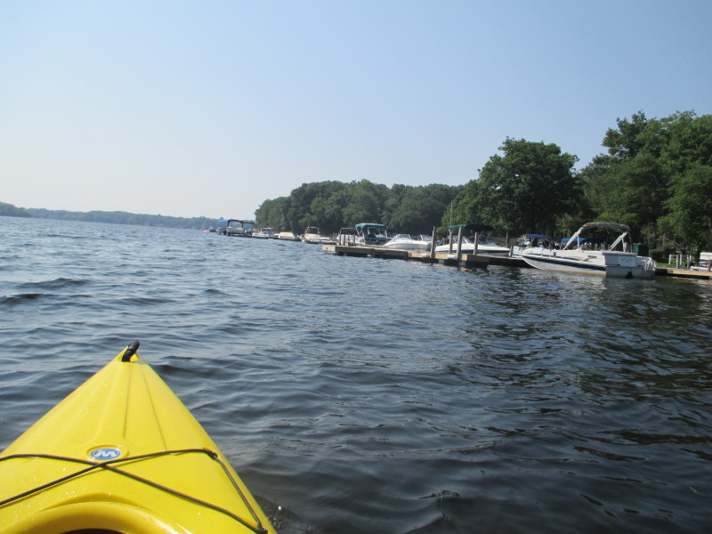
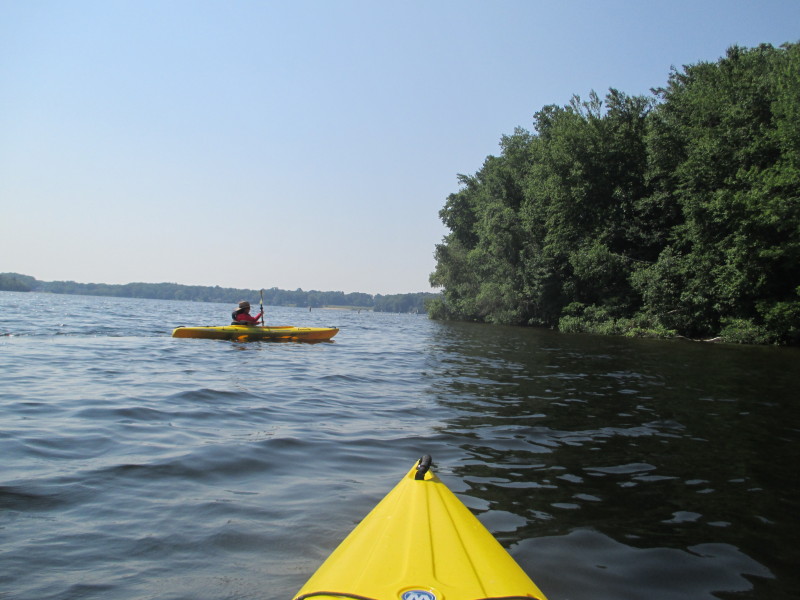
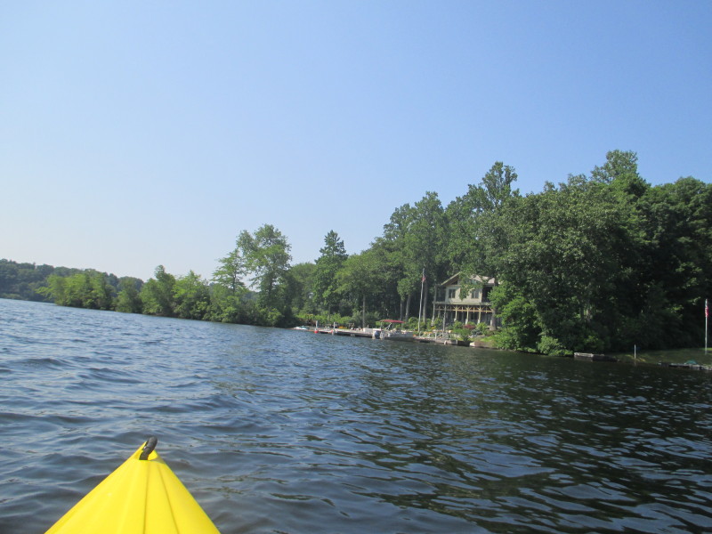
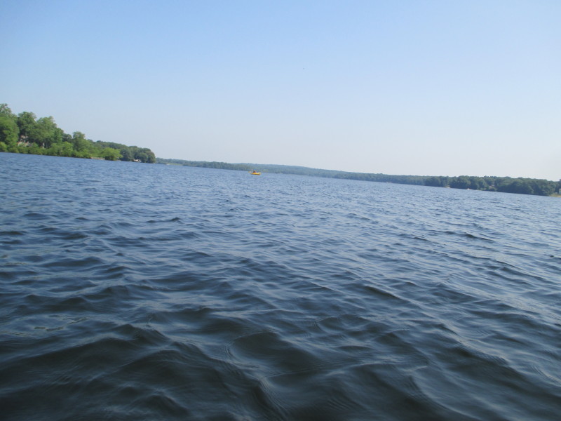
 Just rounded the corner and now facing northwards.
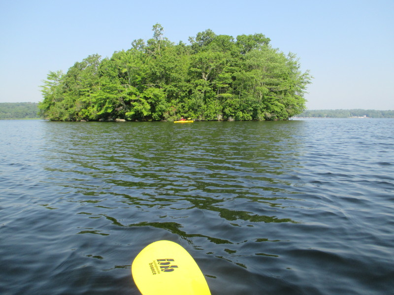
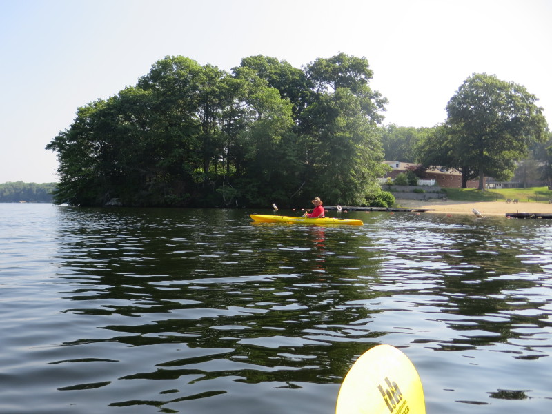
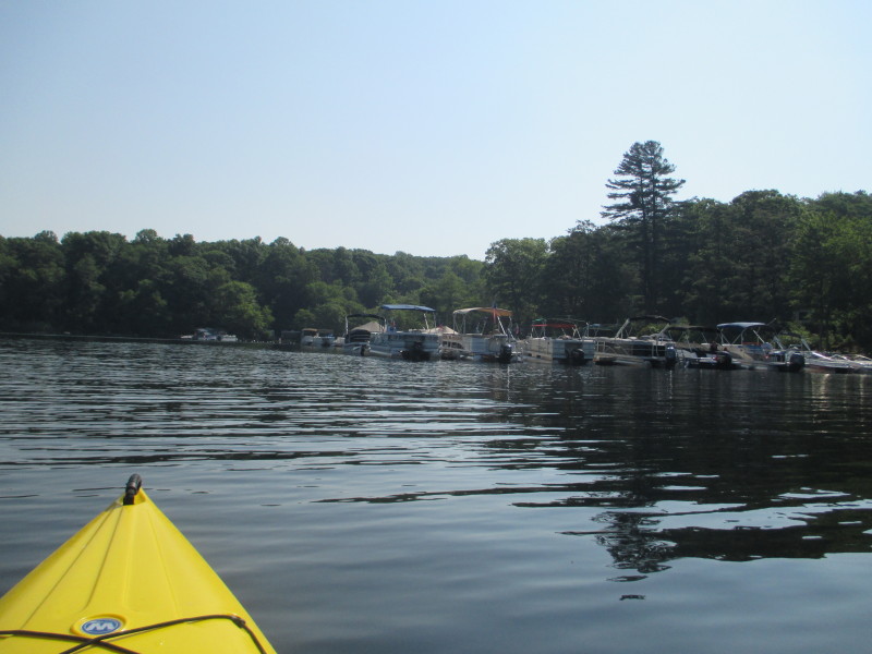
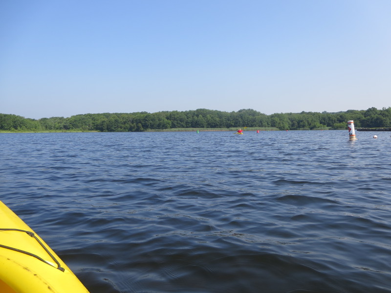
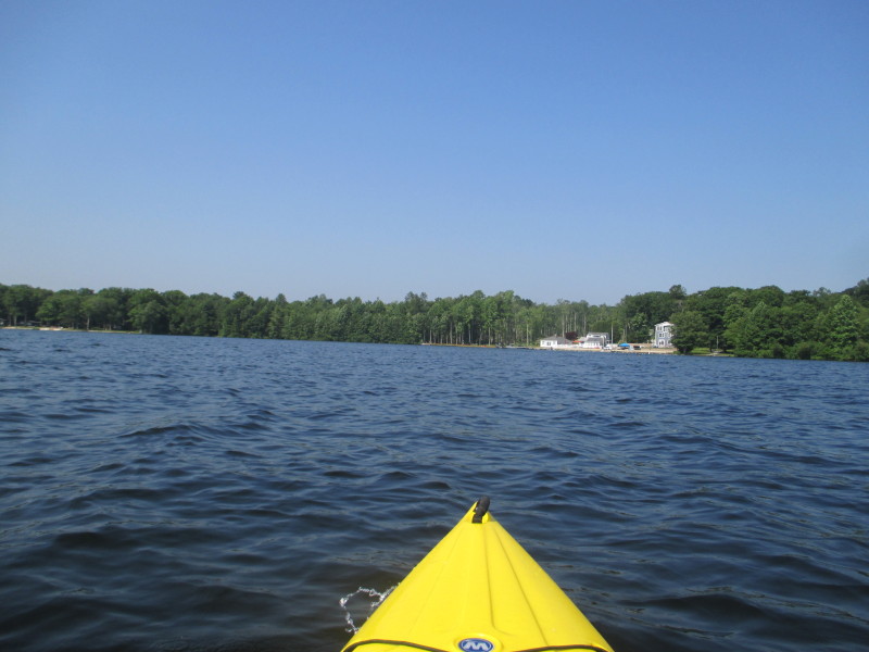
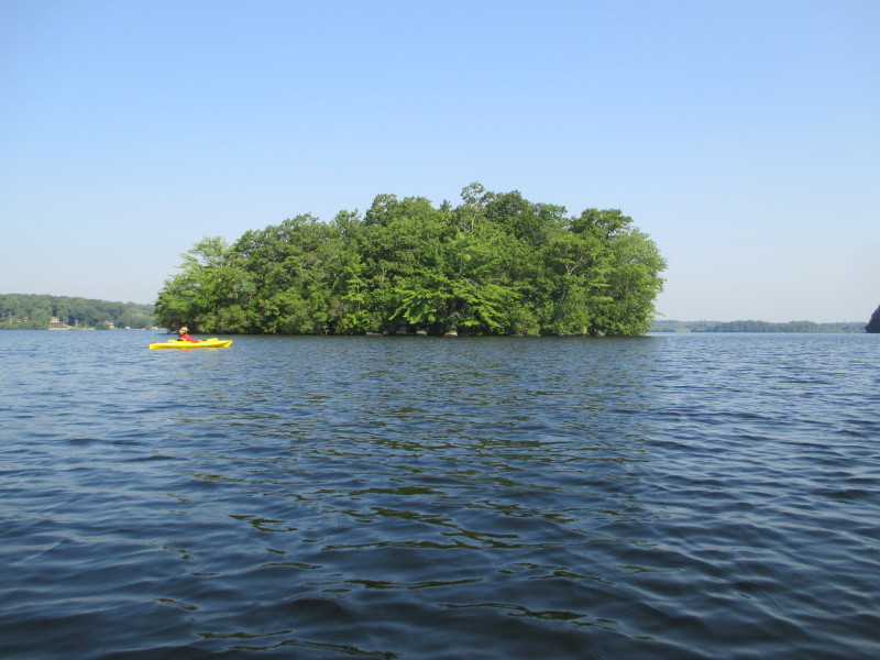 That island is a state park all by itself.
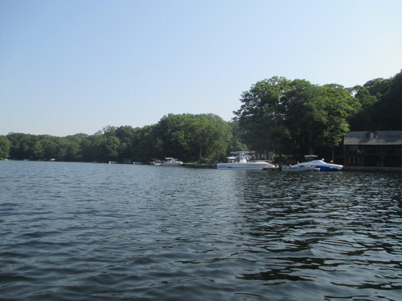
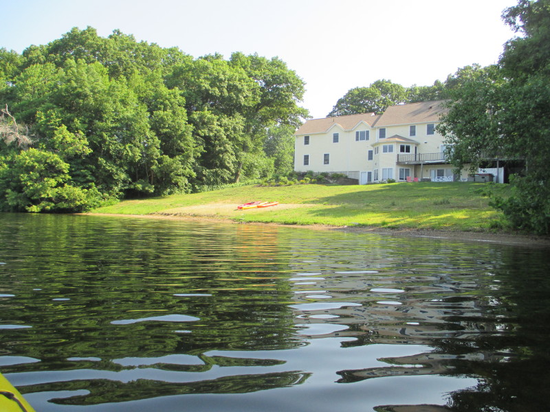
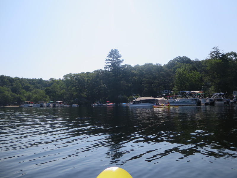
 Happy campers.

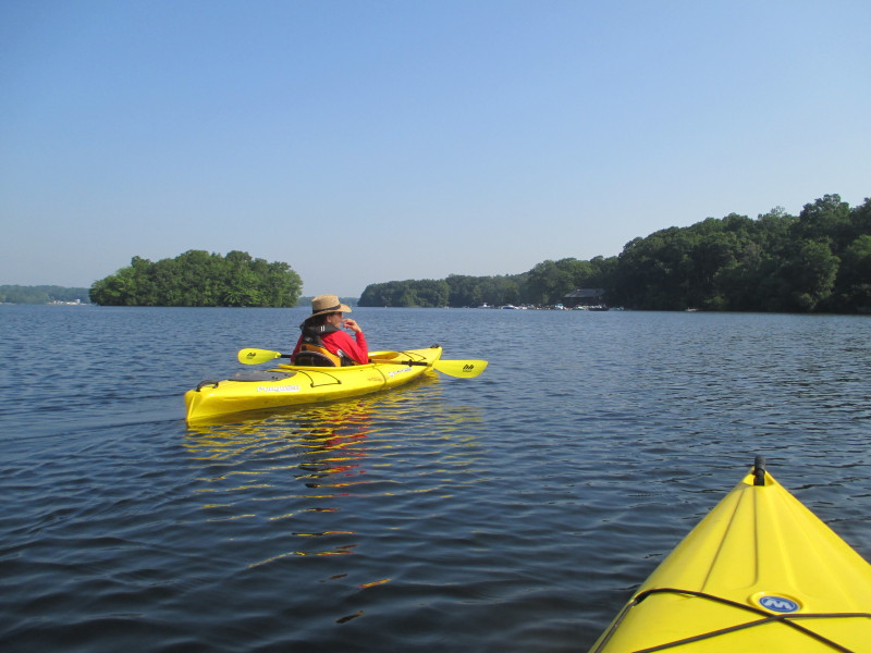
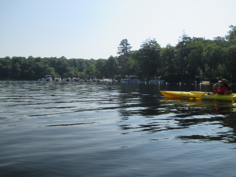
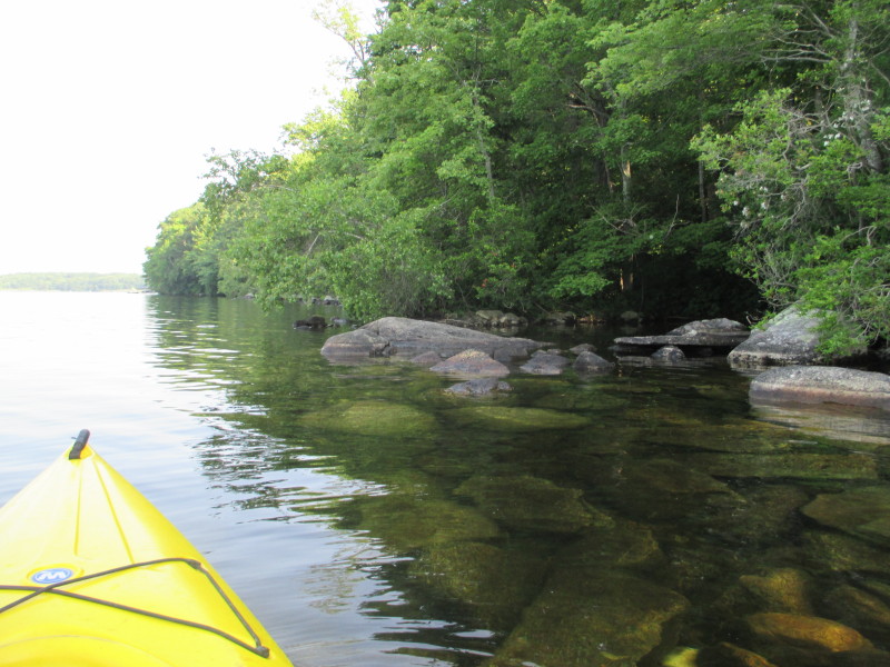
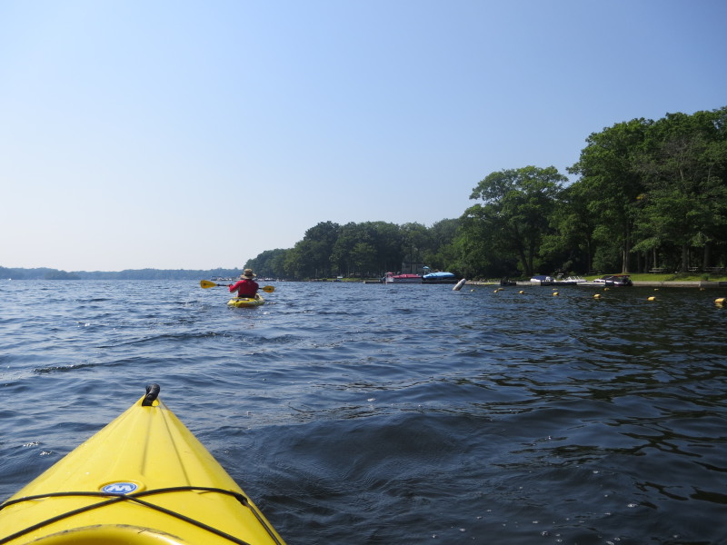
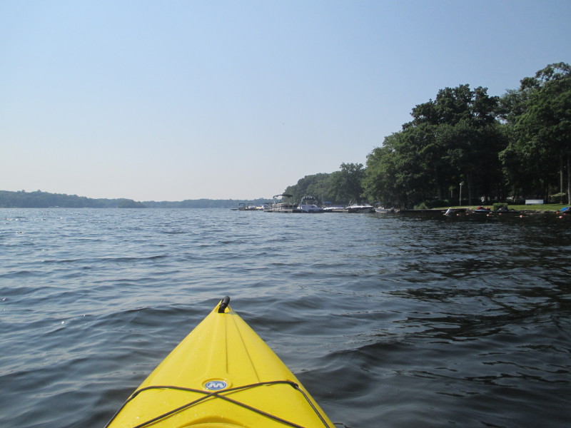
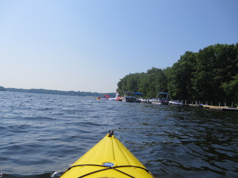
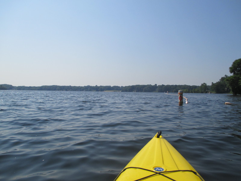
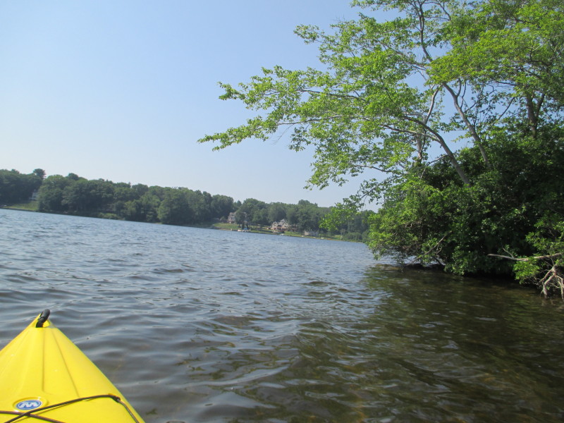
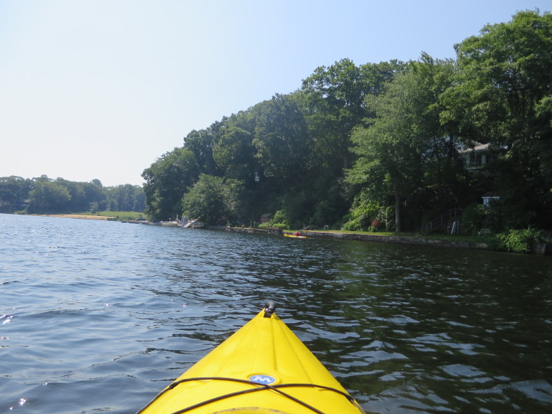
 Will continue to follow the shore on my right.
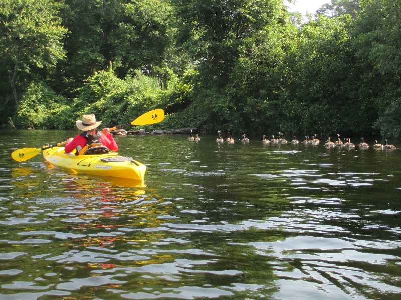 The resident ducks of Gardner Lake.

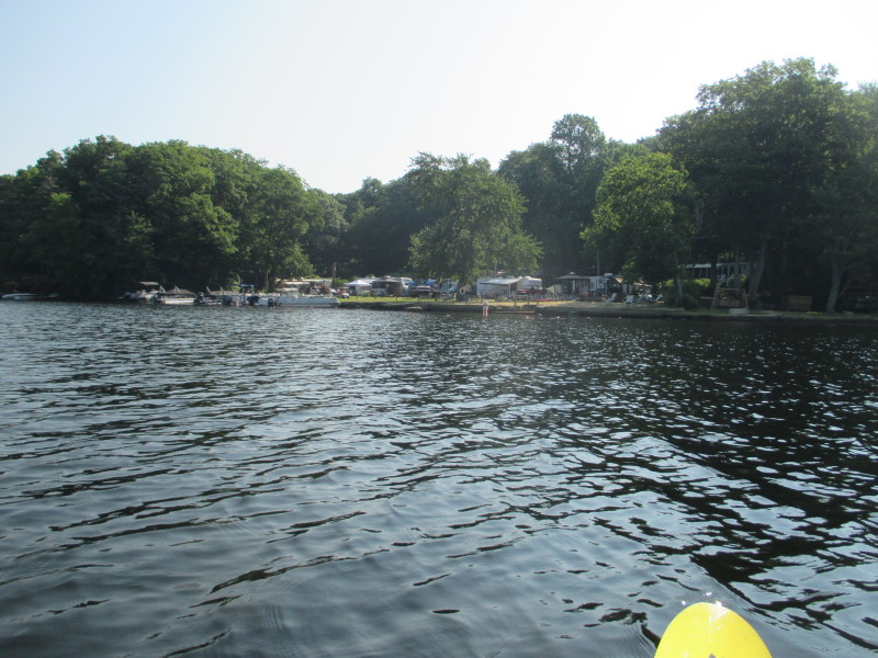
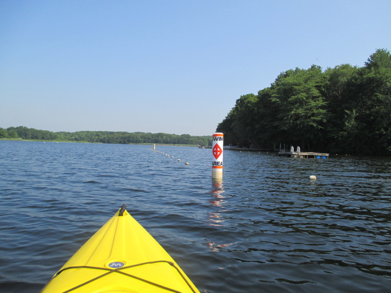
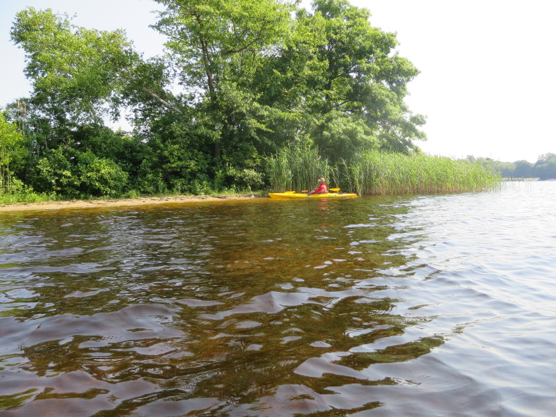
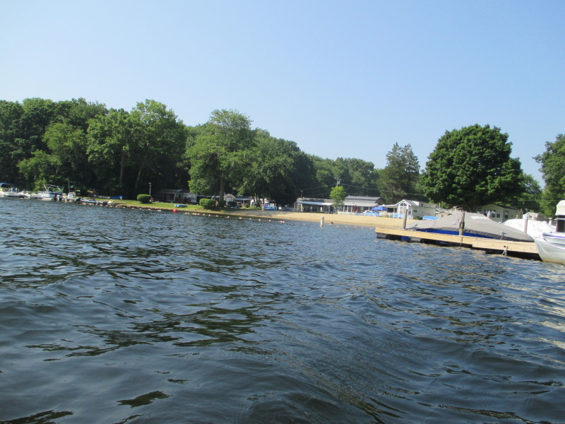
 The Hopemead State Park beach.
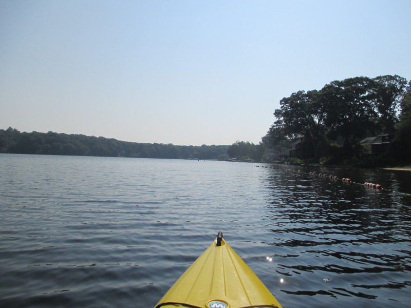
 On left is the northeast corner of Gardner Lake.
 Pivot to the right.

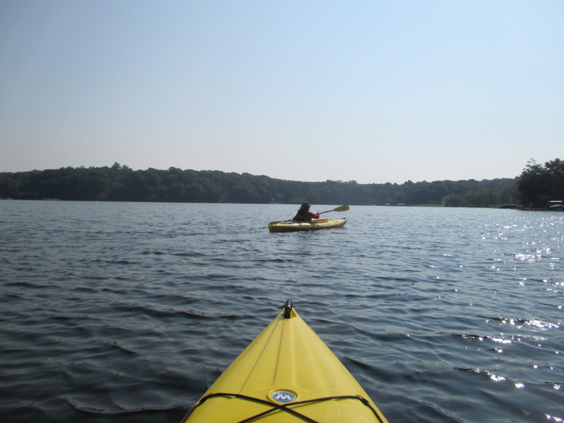
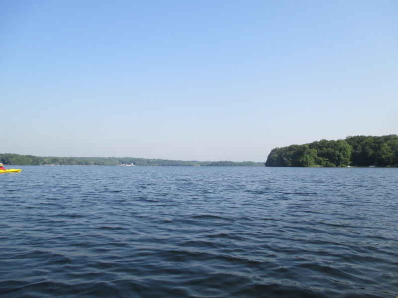
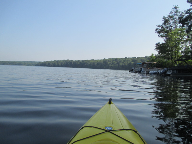
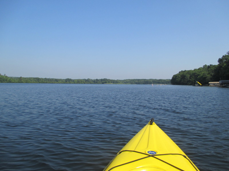
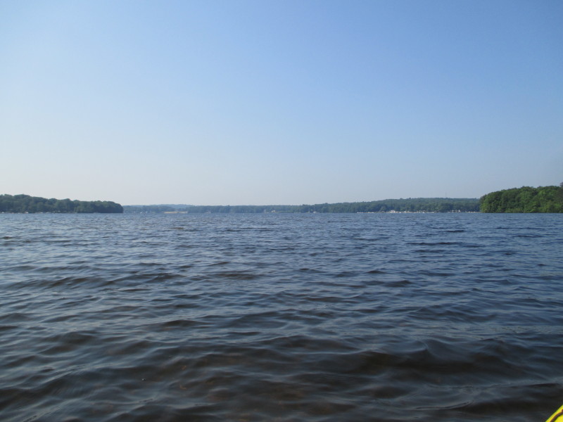
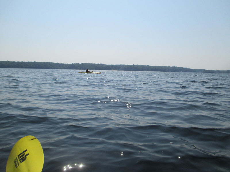
 Looking south from the north end of Gardner Lake.
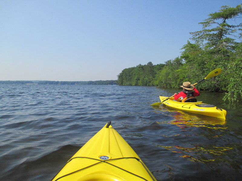
 Paddling westwards to the other side . . .
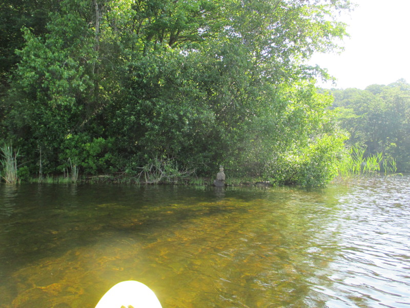
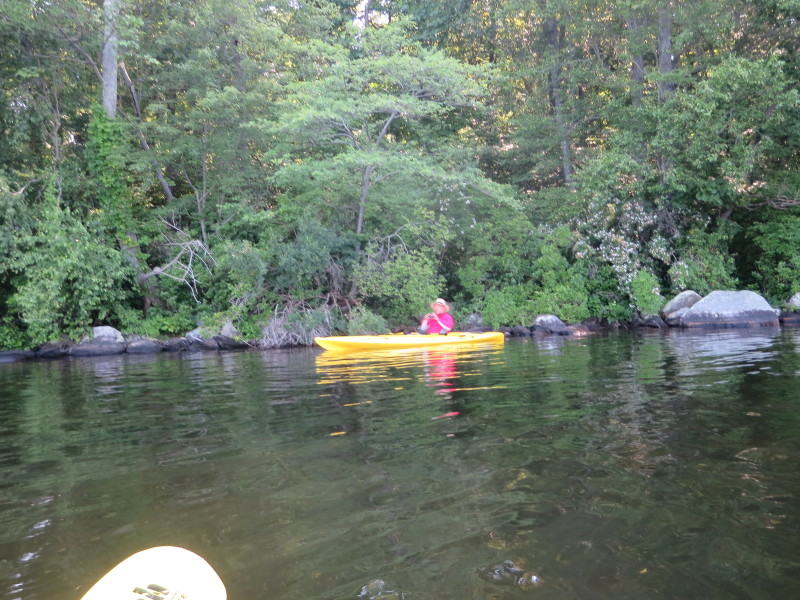
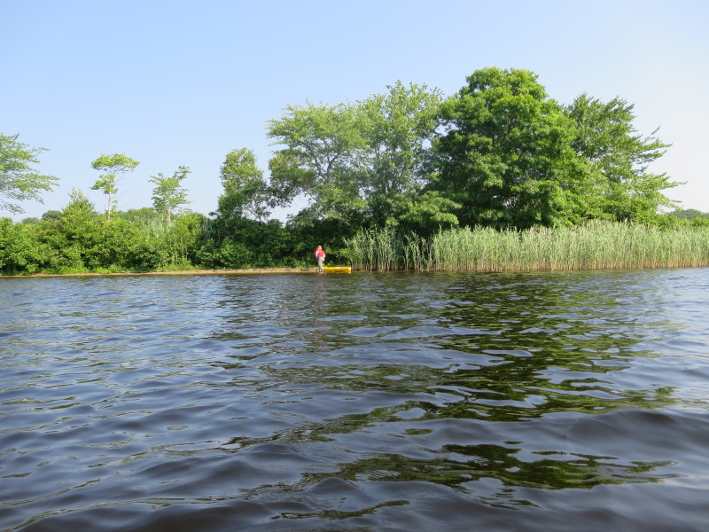 Landing for a short break.
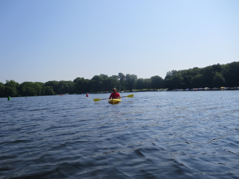
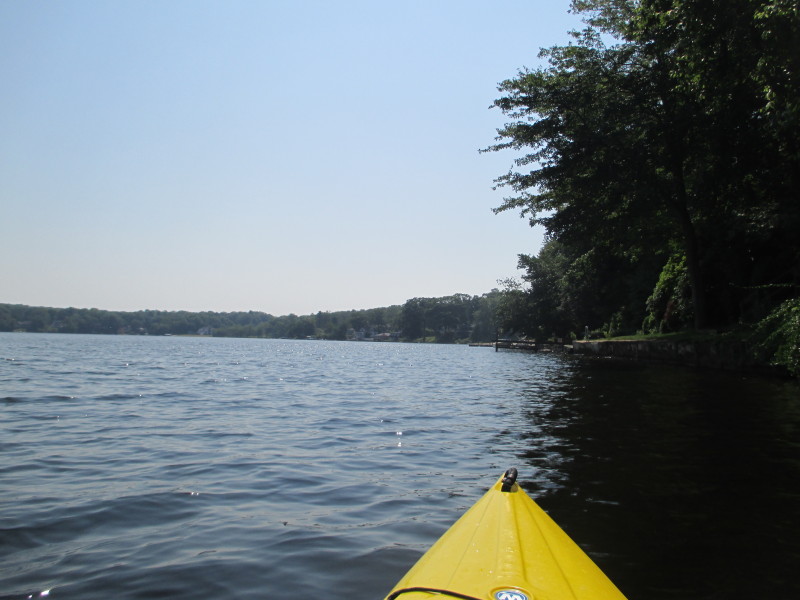
 Paddling southwards now with the western shore on right.


 I can see the landing green area.

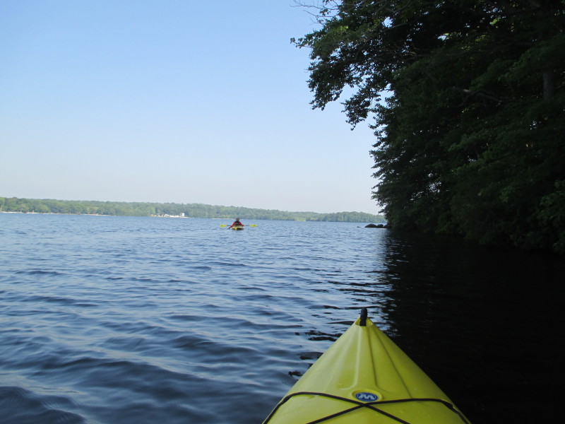
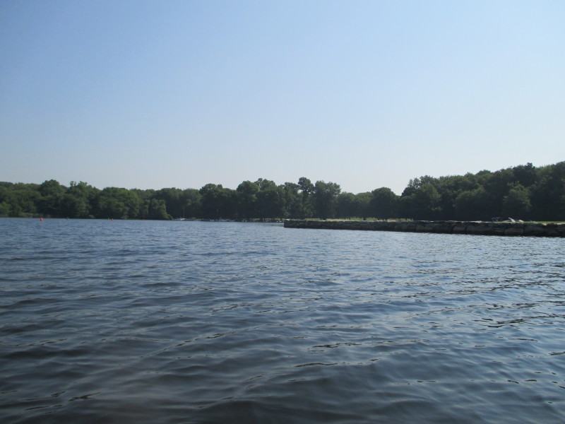
 Looking behind me . . .
 IMG_5868.JPG 20180702102411
 IMG_0115.JPG 20180702102444
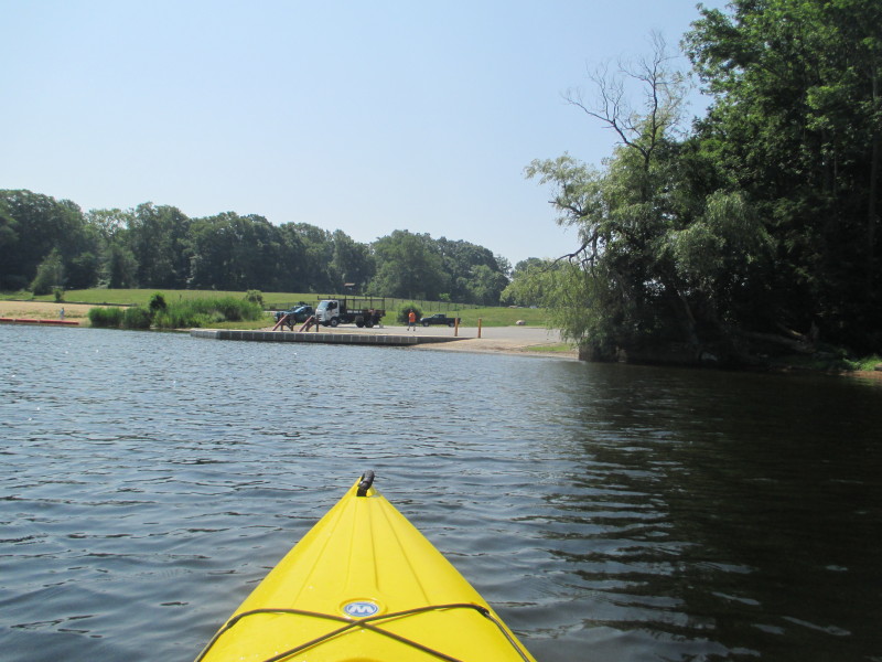 Approaching the ramp.
IMG_5870.JPG 20180702102709
Approaching the ramp.
IMG_5870.JPG 20180702102709
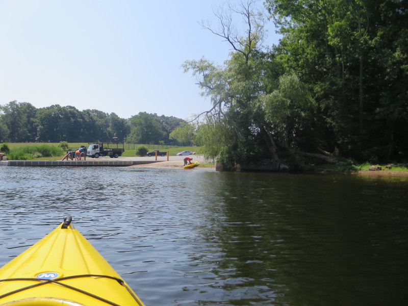 Landed. Paddle time is 1 hour 27 minutes.
|