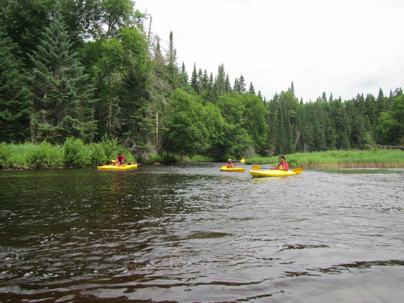
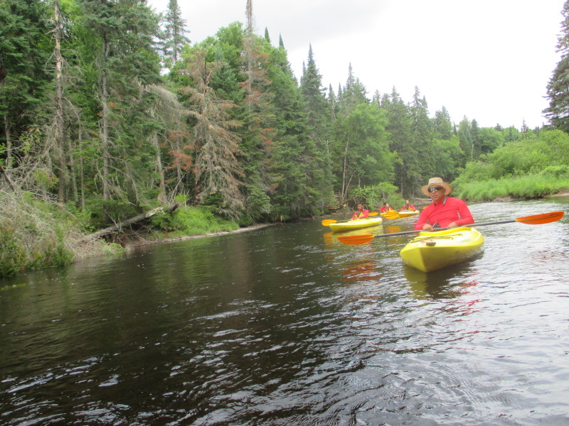
 Kayaker

|


|
Download printer-friendly
PDF version that fits in one page: |

|
|
Other resources:
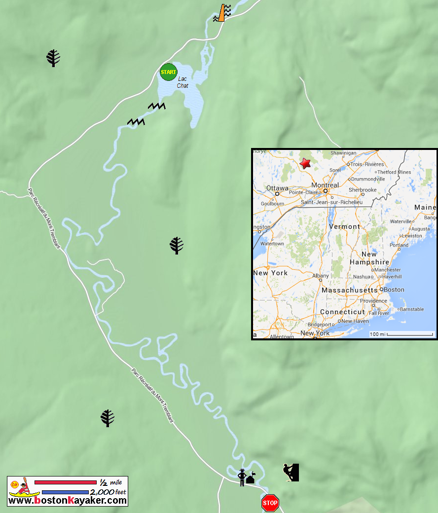
Parc national du Mont-Tremblant Secteur de la Diable Map Parc national du Mont-Tremblant Secteur de la Diable Map (cached copy) Parc national du Mont-Tremblant Parc national du Mont-Tremblant Journal Parc national du Mont-Tremblant Map Lakes and More: Canoeing on a quite, meandering part of the Riviere du Diable All photos in this website are original and copyrighted. 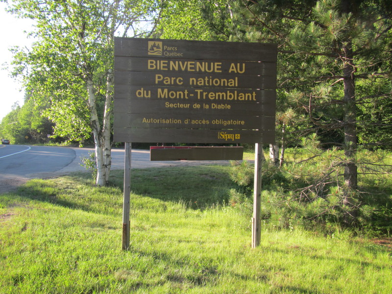 At Parc national du Mont-Tremblant in Lac-Supérieur, Québec, Canada.
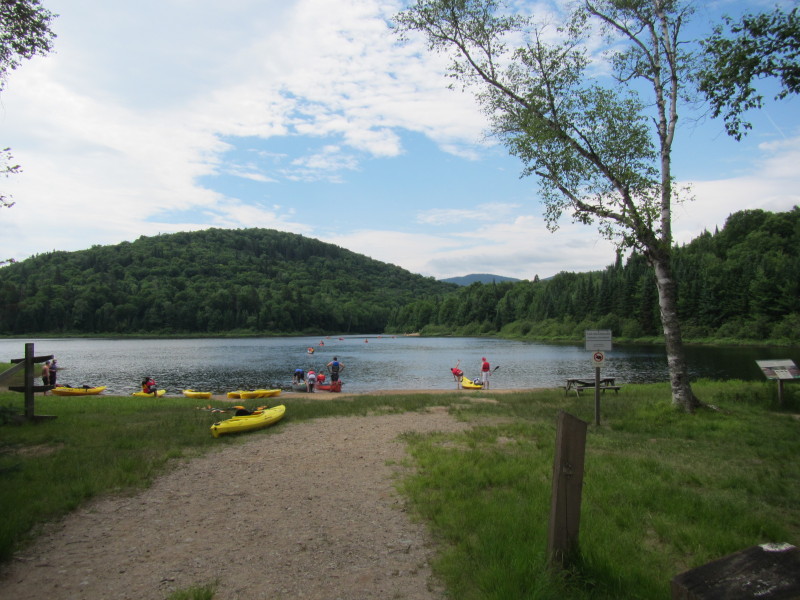
Trip date is July 2014. It takes 8 hours of driving to get here from the Boston Kayaker's residence in Massachusetts USA. 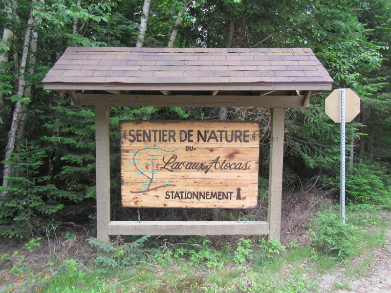 At the entrance to the Lac Chat launch area Lac-aux-Atocas on Route 1.
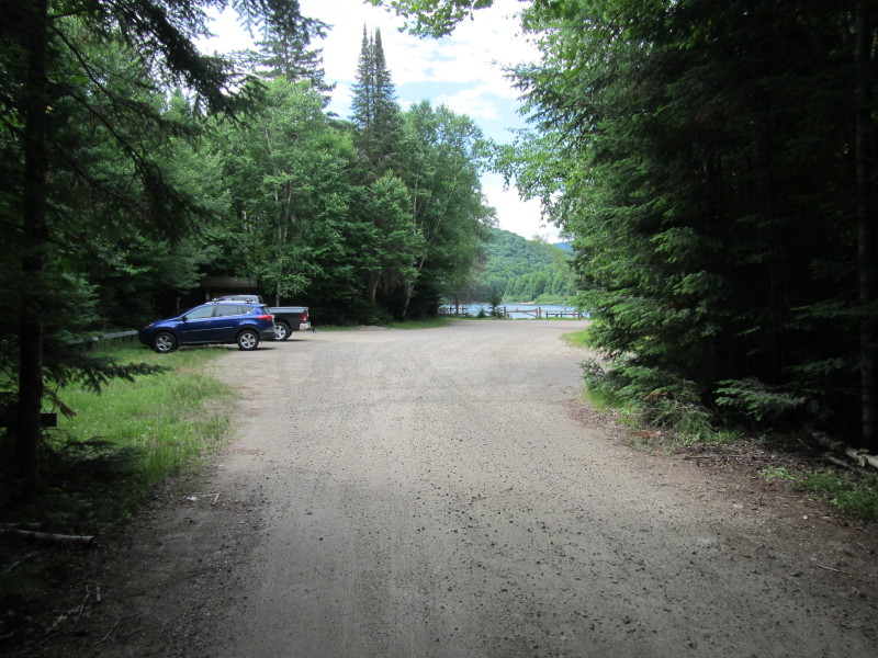 Lac Chat stationnement (parking area).
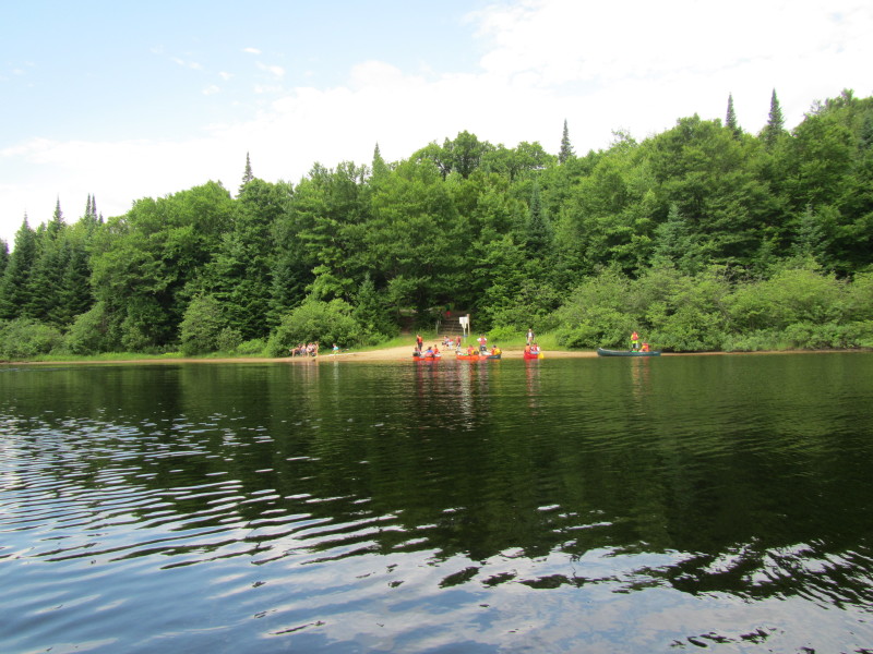
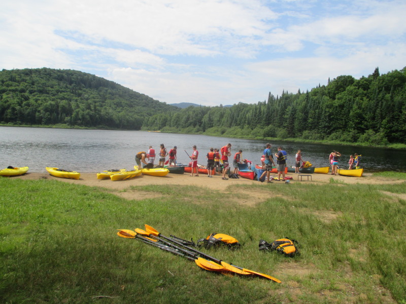 Early launchers on Lac Chat.
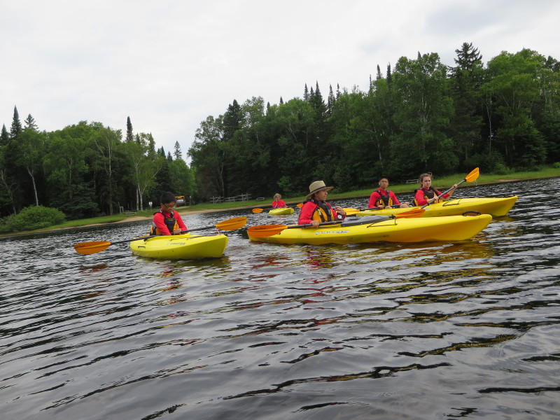
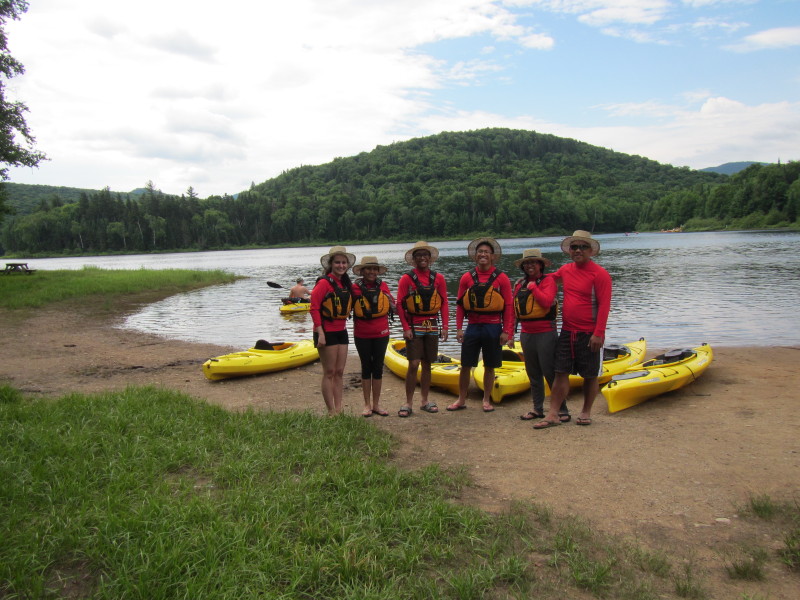 The Boston Kayaker and family plus son's girlfriend on Lac Chat.
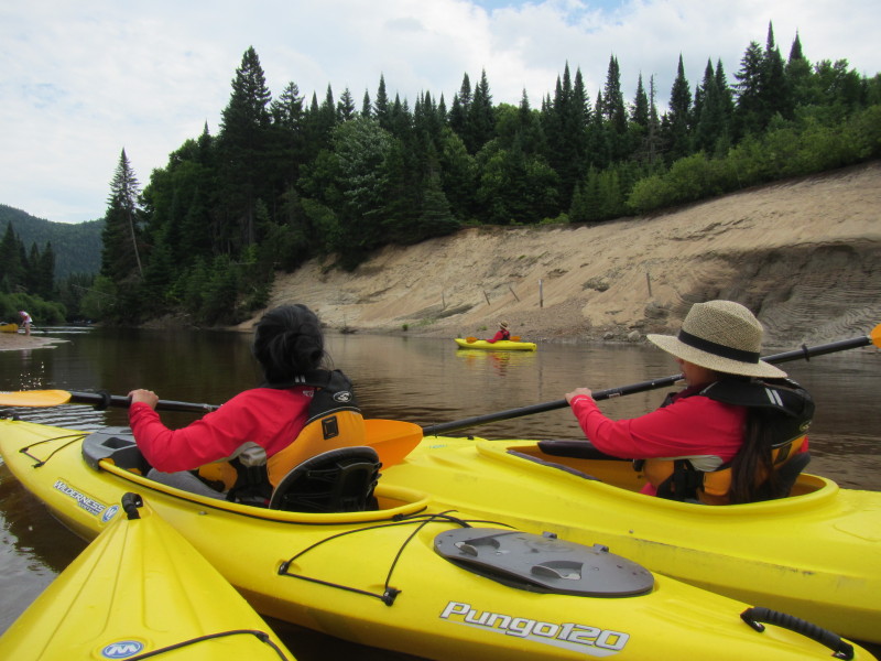
Ready for Les Méandres du Diable paddle trip. 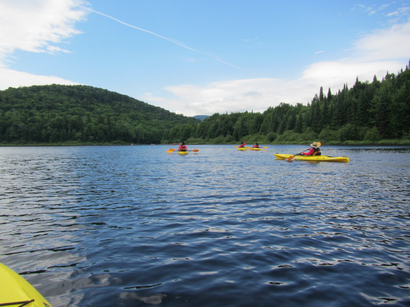 The Boston Kayaker and party just launched on Lac Chat at Parc national du Mont-Tremblant.
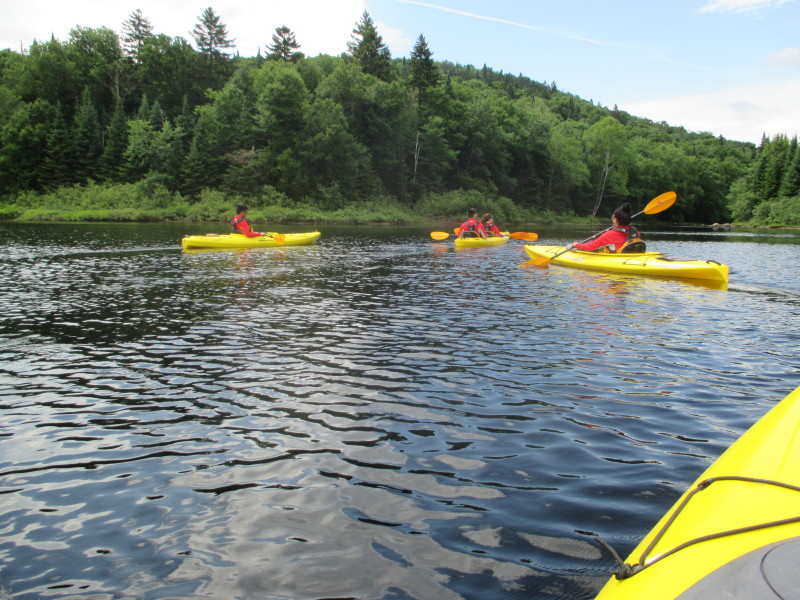
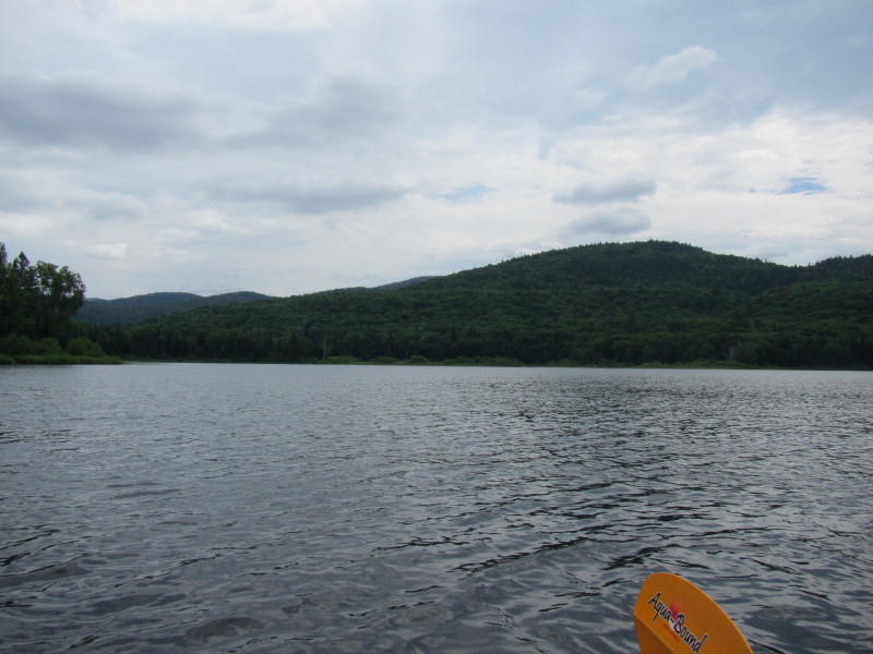 To my left (looking north) is the rest of Lac Chat.
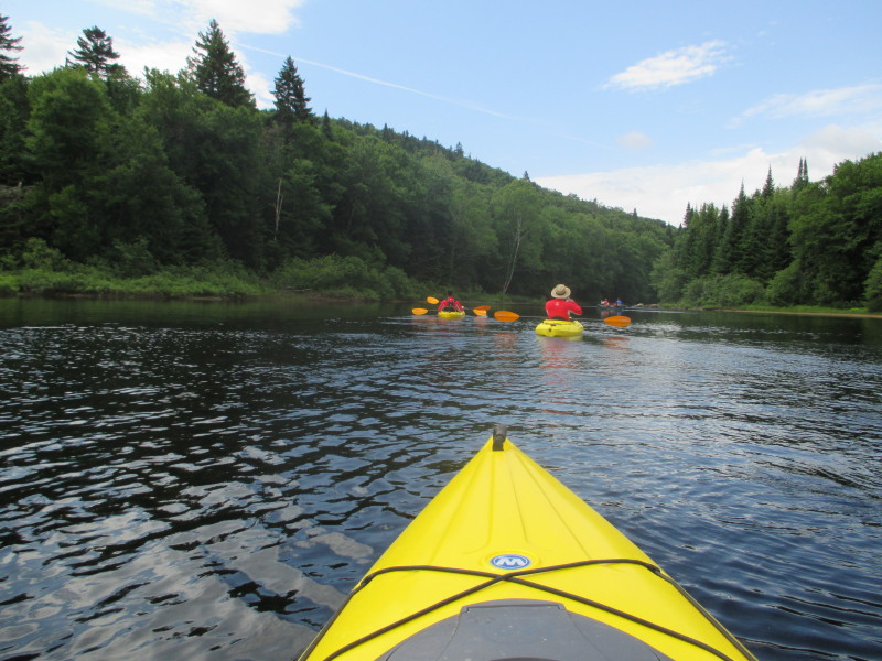
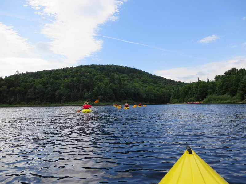 We are just aiming straight ahead to the outlet of Lac Chat.
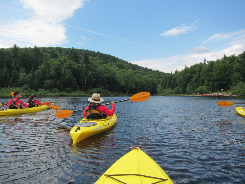 On our left is the camp grounds launch for campers.
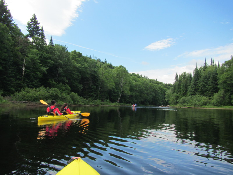
 The lake is narrowing at its outlet.
 Now about to leave Lac Chat.
 We can hear rushing water. Rapids ahead!
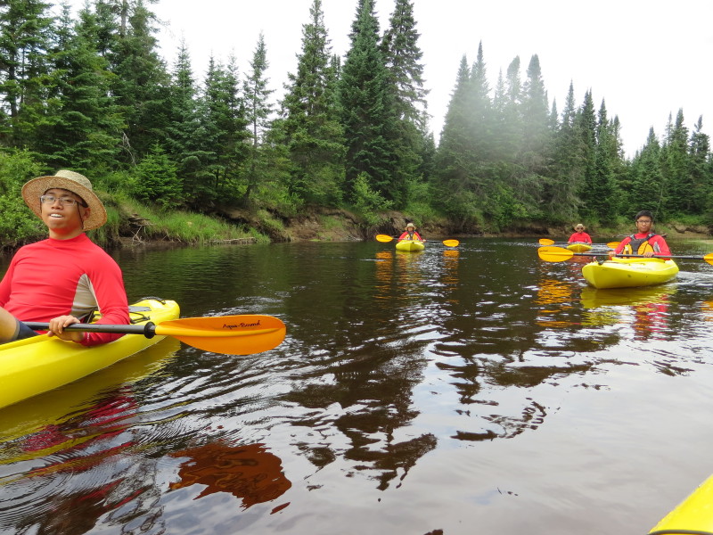
 Rapids at the exit out of Lac Chat continuing on Rivière du Diable.
 Parked myself down the rapids to watch the rest of my group go thru the first rapids.
 Here comes the Boston Kayaker's son and girlfriend on Rivière du Diable.
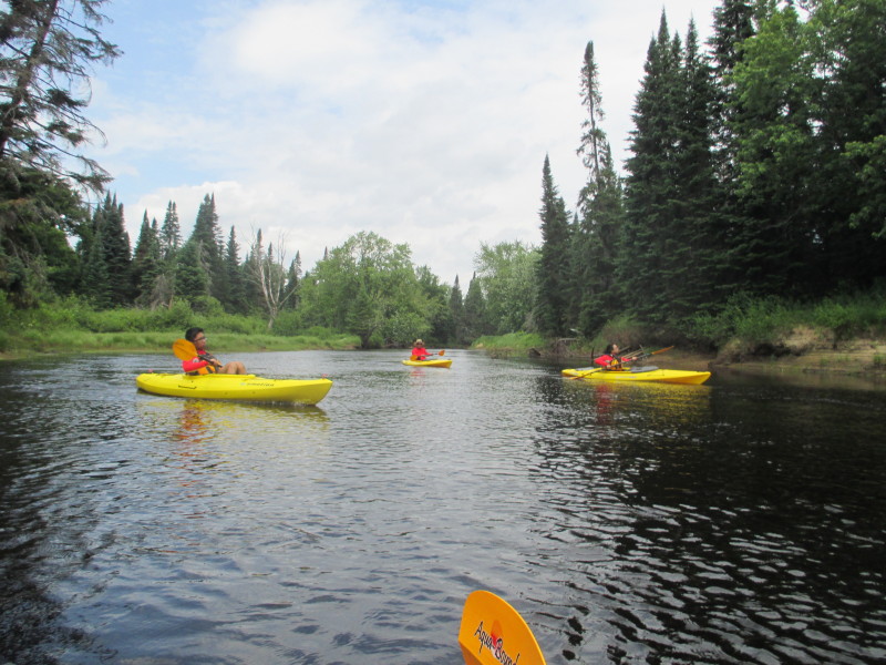
 Next is the Boston Kayaker's daughter, then son, then wife.
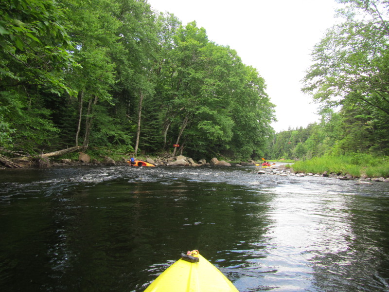 A capsized kayaker on the second set of rapids on Rivière du Diable.
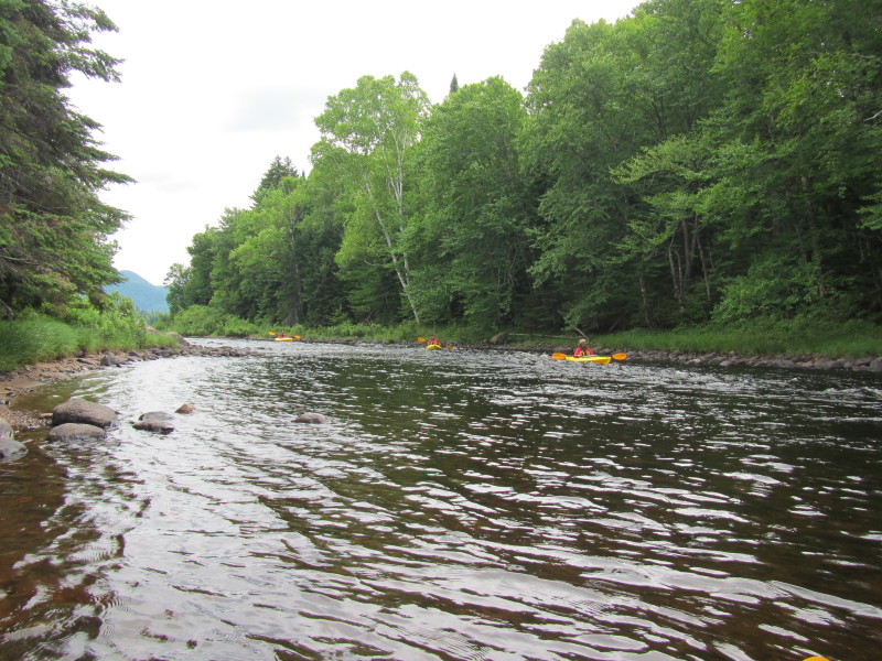
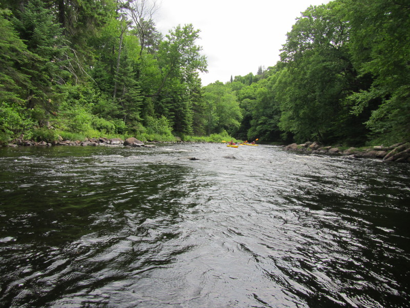
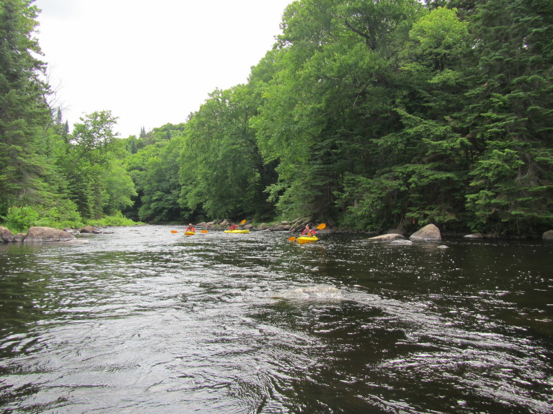
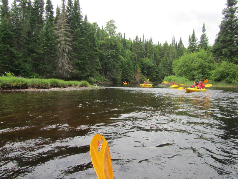
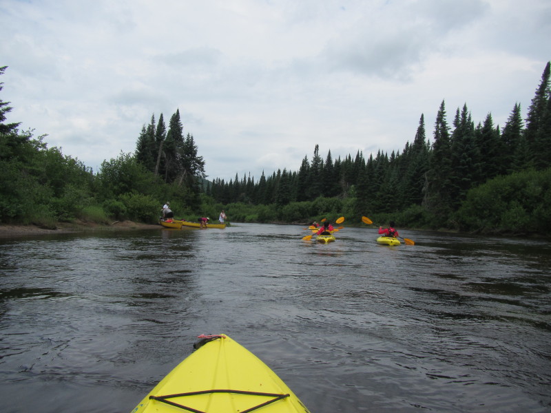
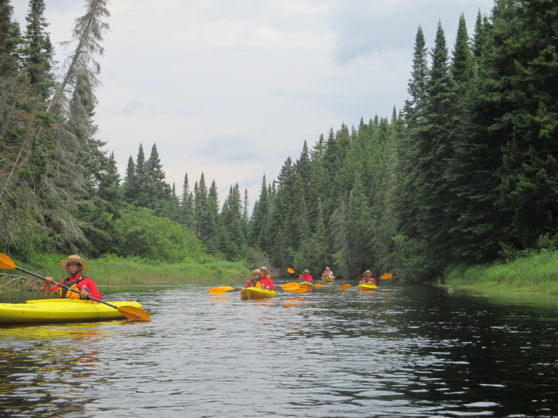
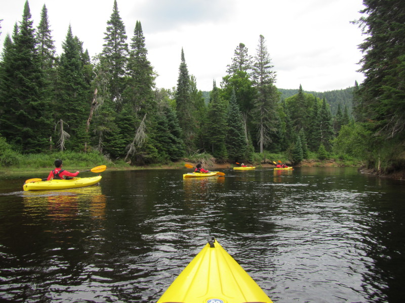
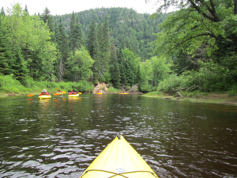
 More rapids.
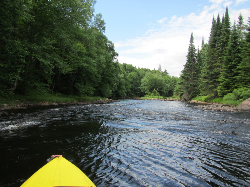
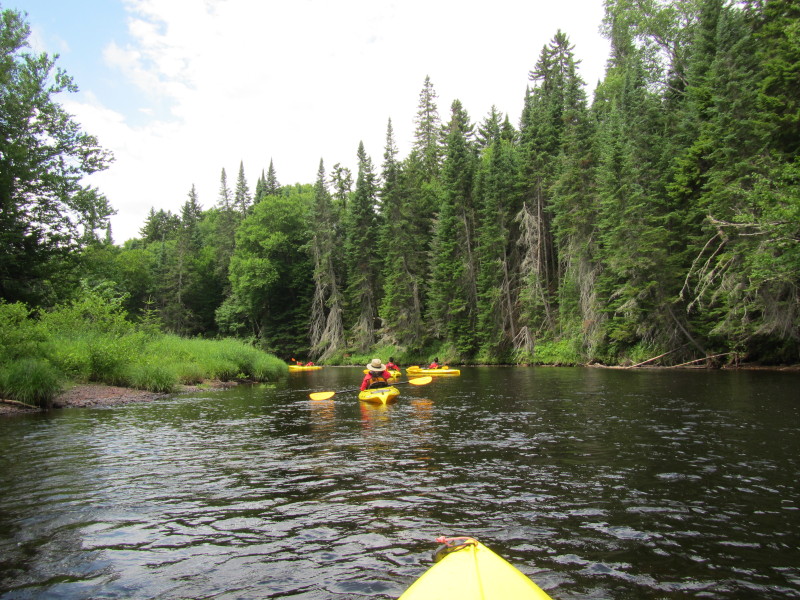
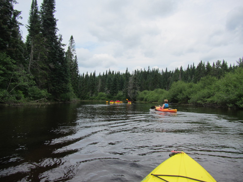
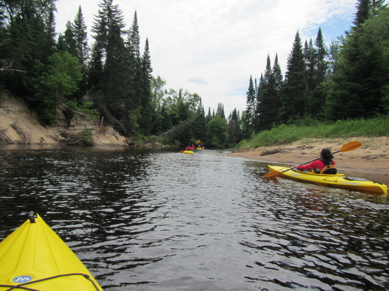
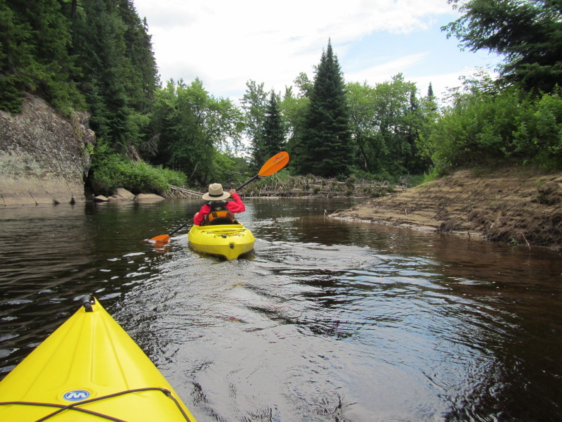
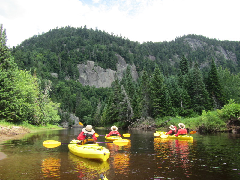
 Looking on the rapids behind me.
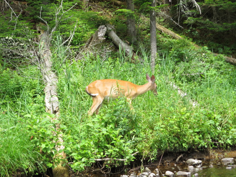
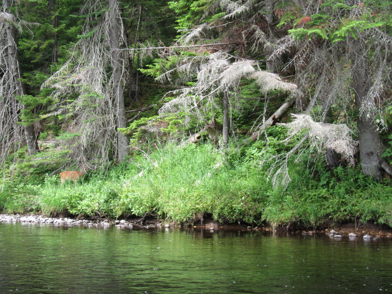 A deer on the banks of Rivière du Diable.
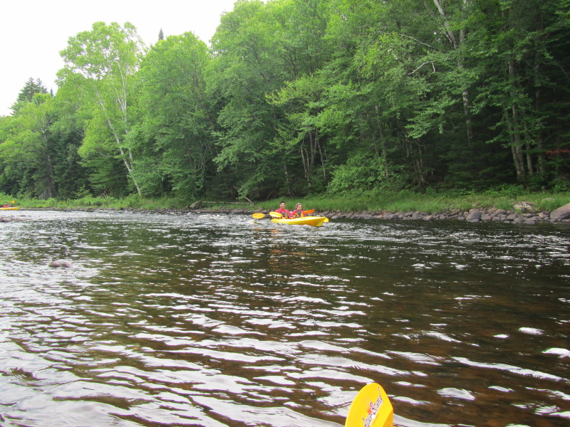
 My son hit a shallow spot and have to get out to drag the tandem kayak.
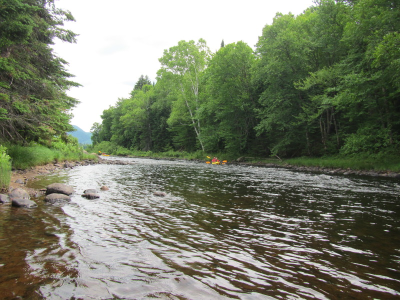
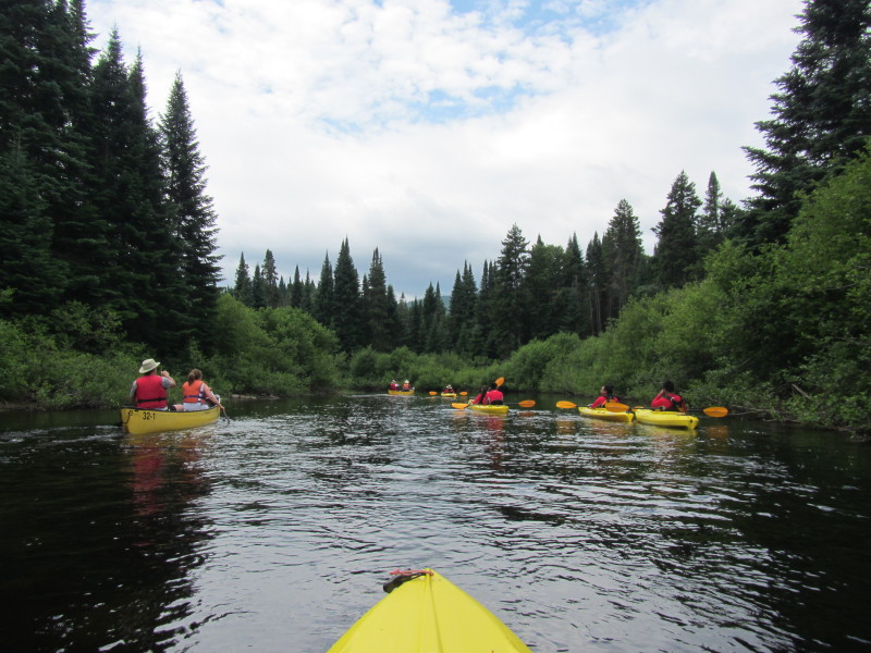 A couple on a canoe passing us.
 The capsized kayaker caught up with us.
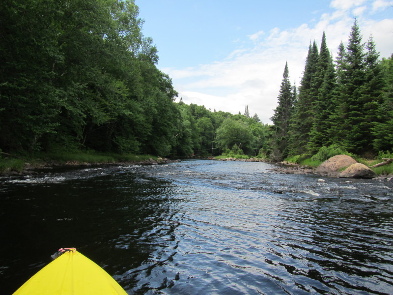
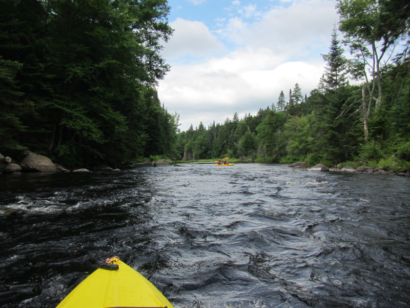
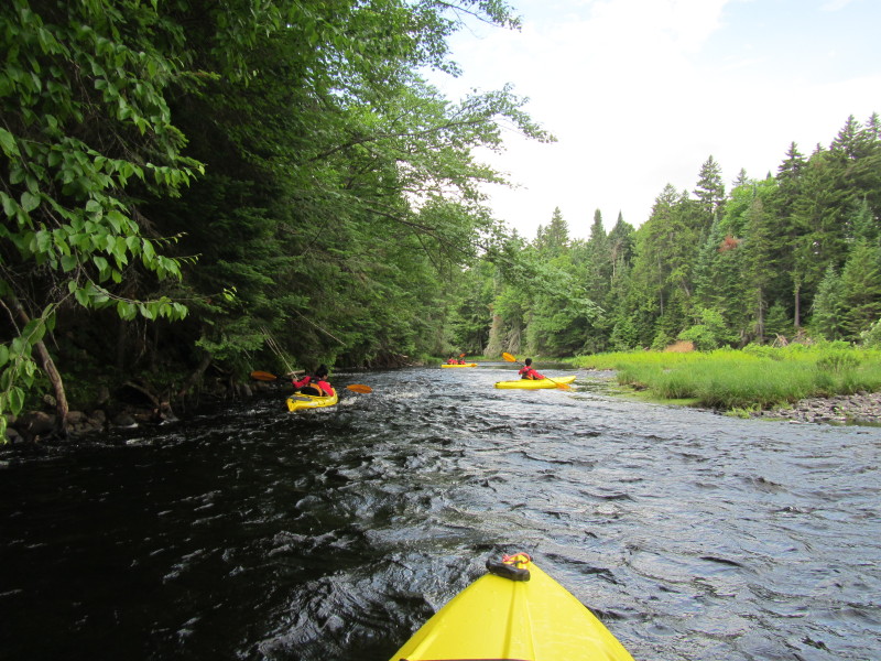
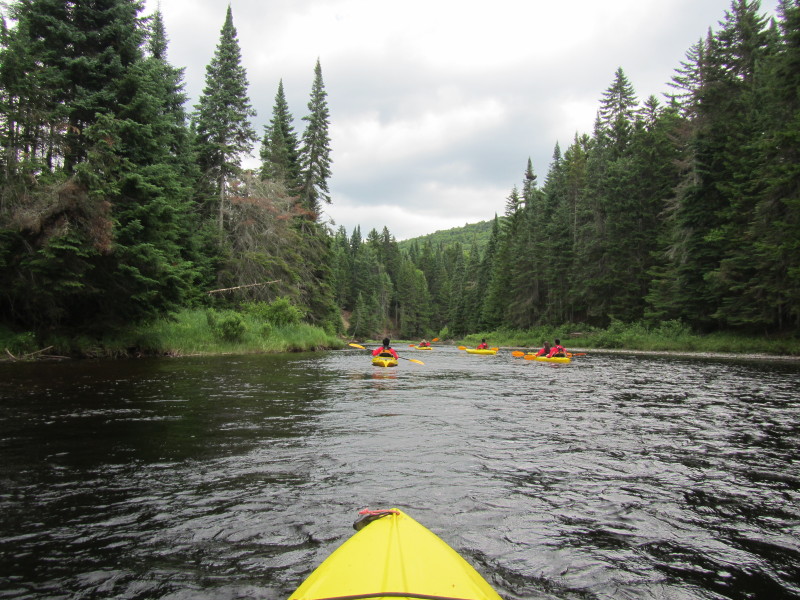
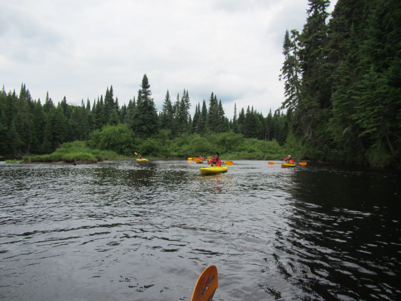
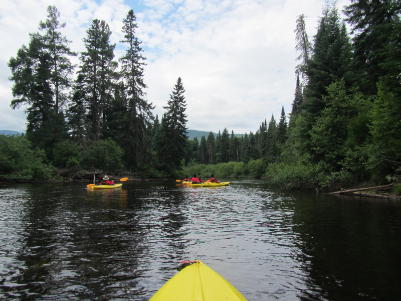
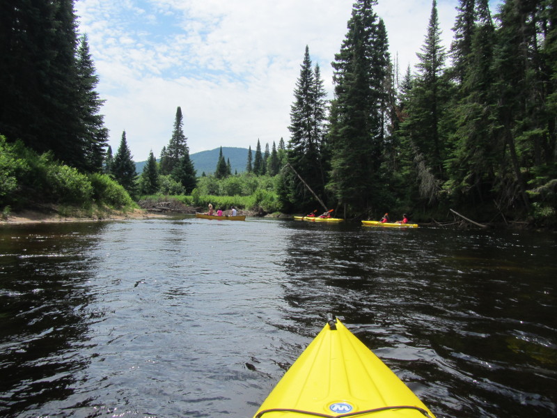
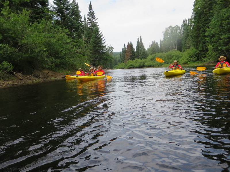
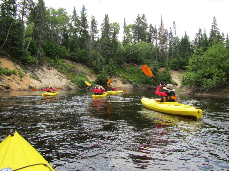
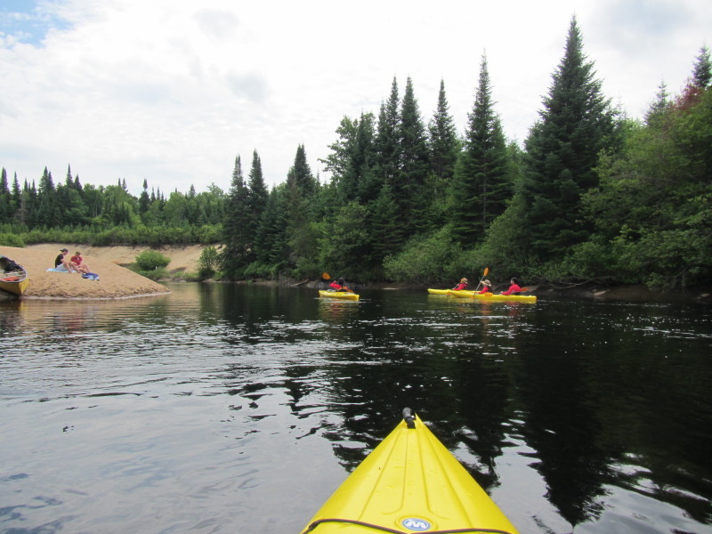
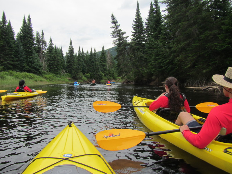
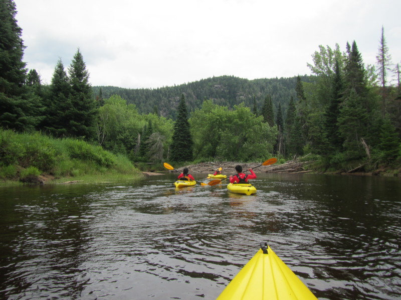
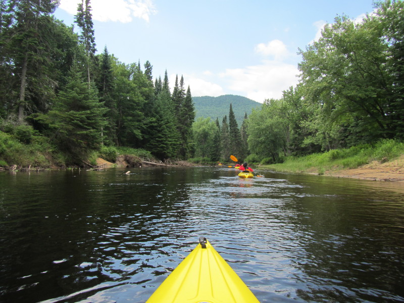
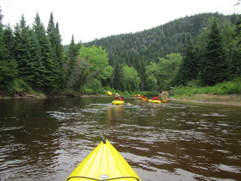
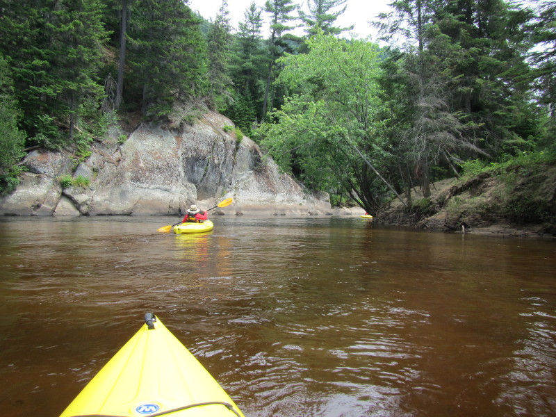
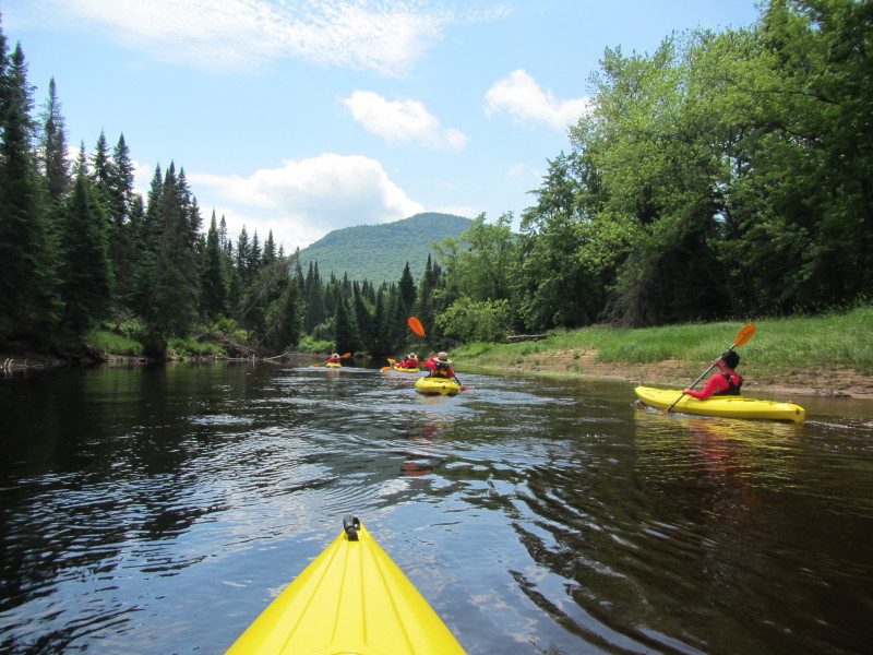
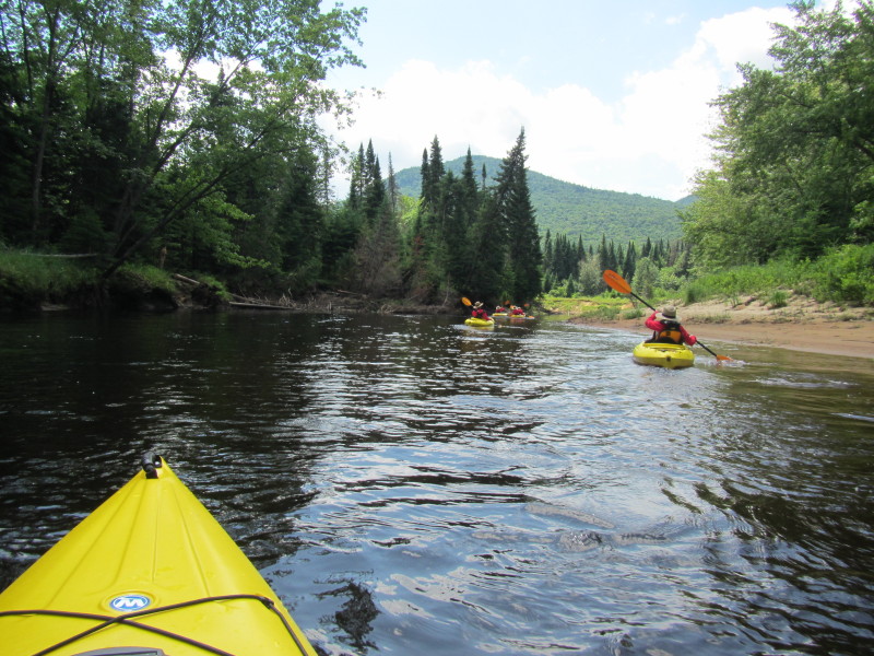
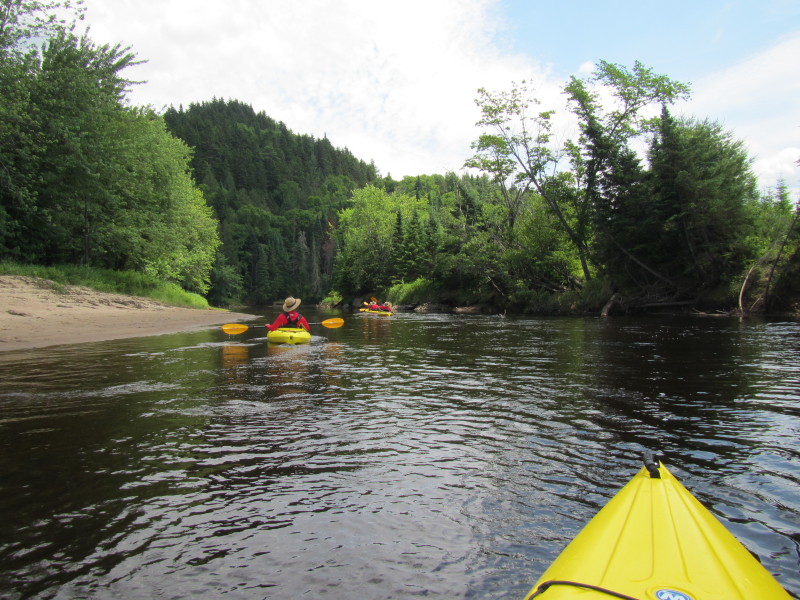
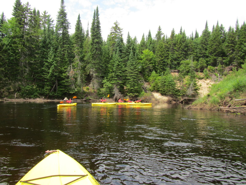 River bending to the right.
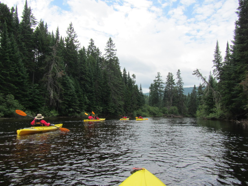
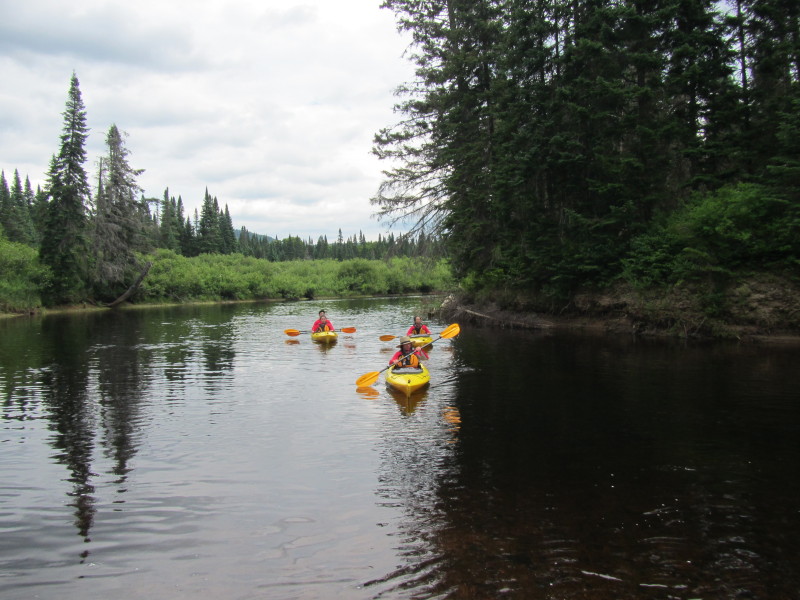
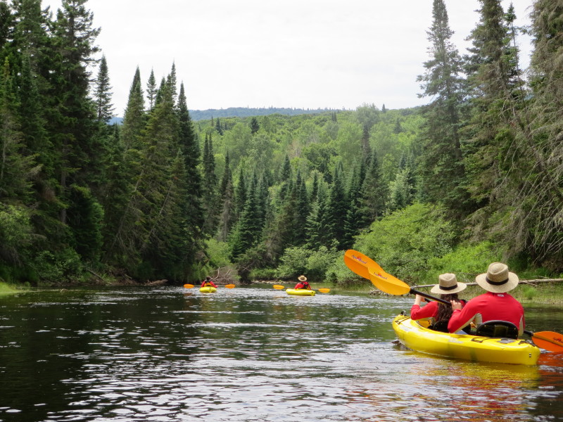
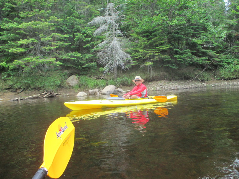
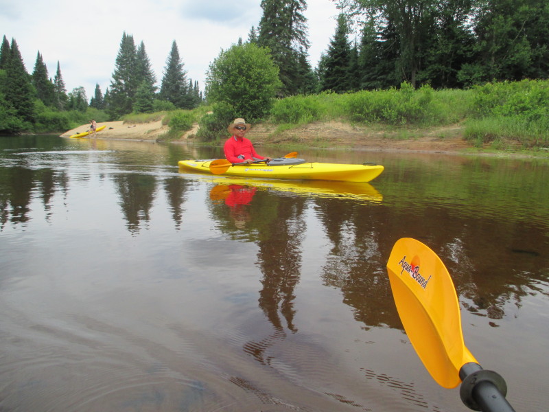
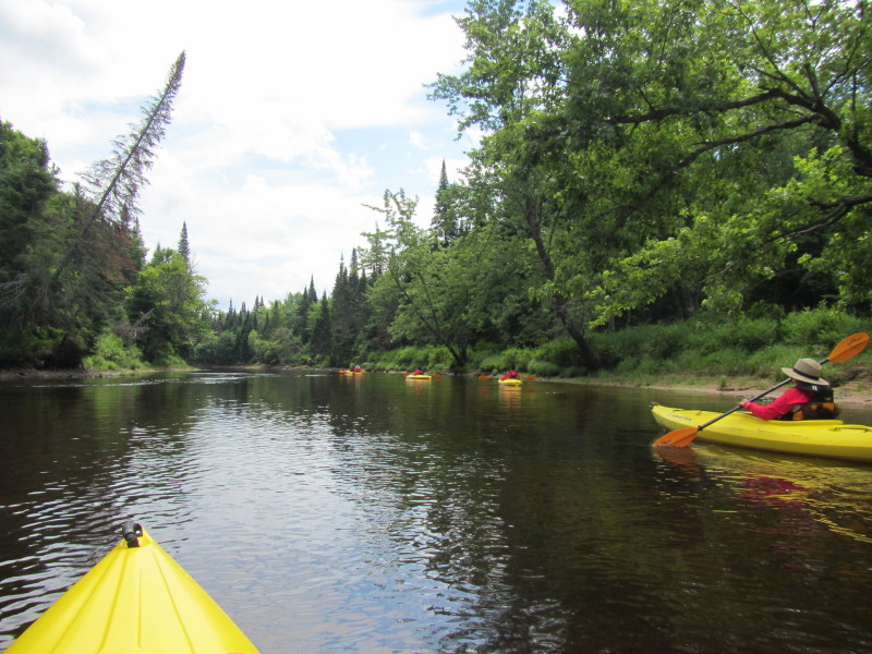
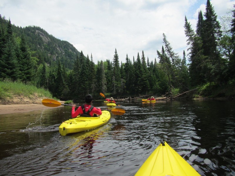
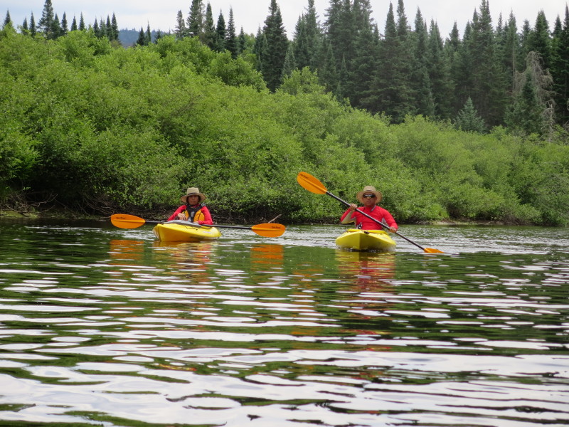 The Boston Kayaker and wife on Rivière du Diable.
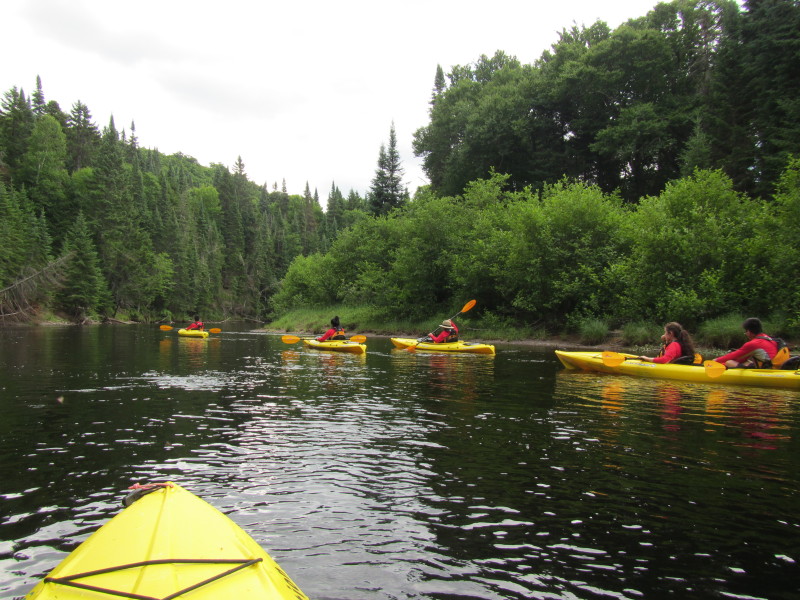
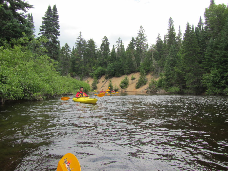
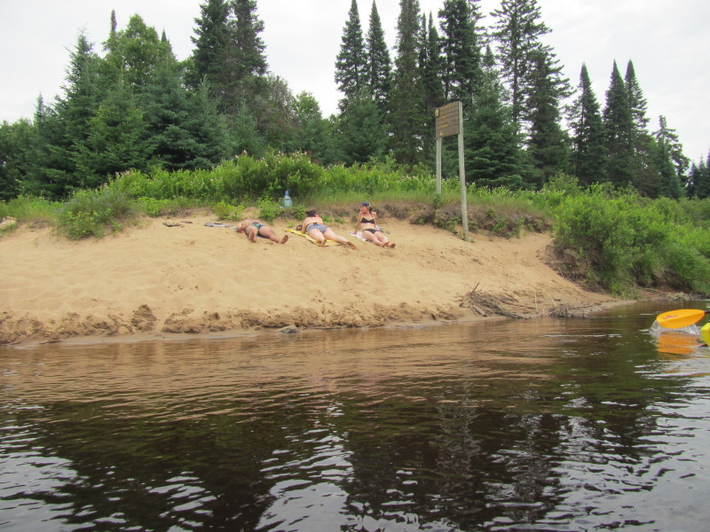
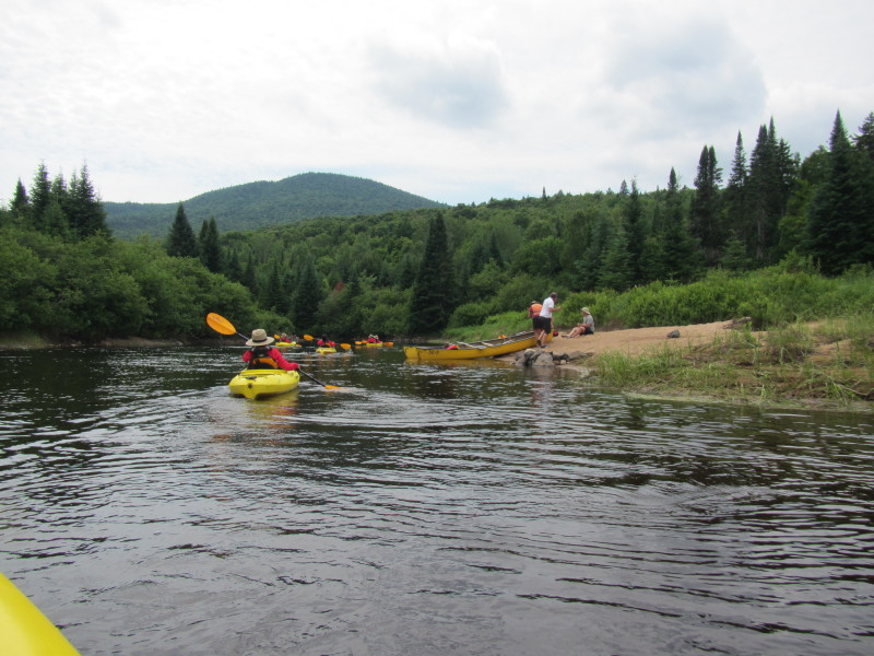
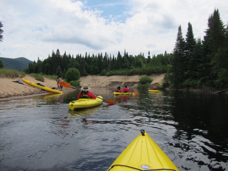
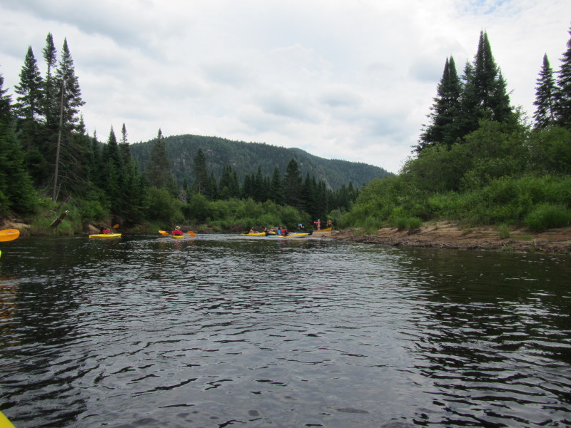
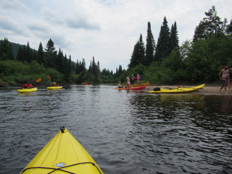
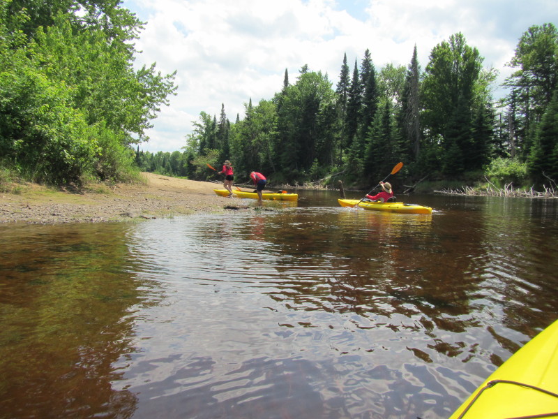
 Taking a break on that small beach ahead.
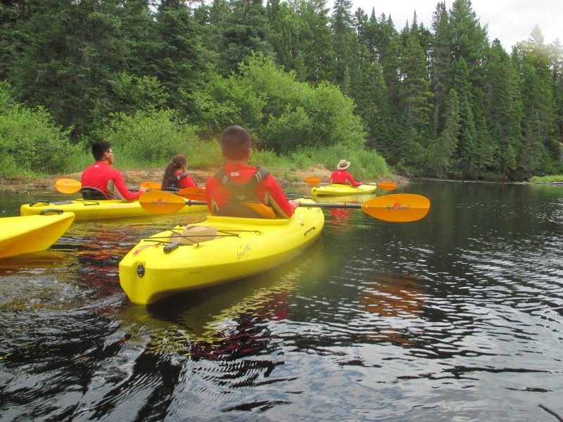
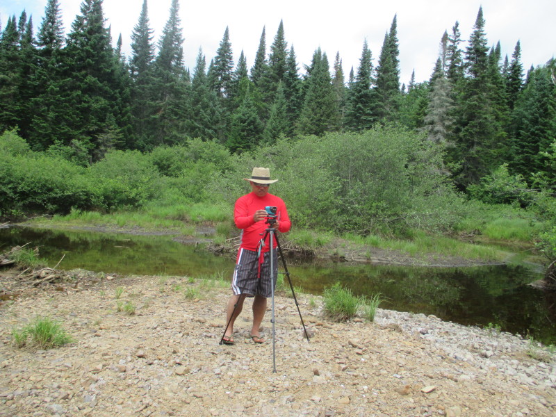
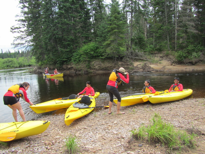 Taking a break.
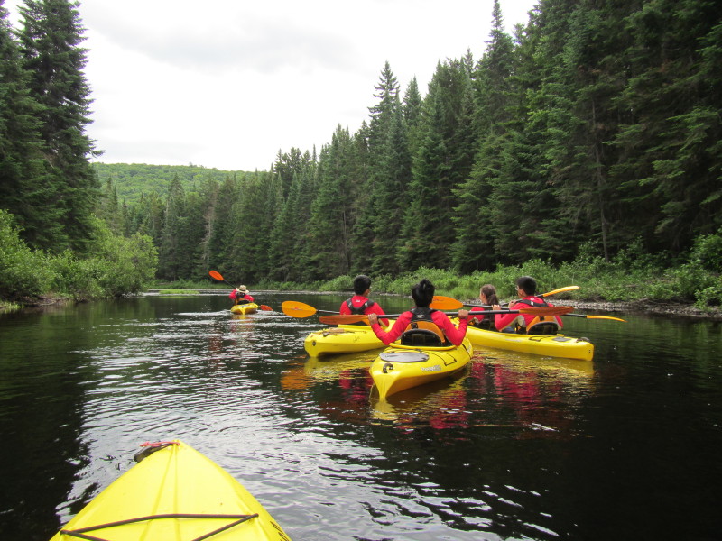
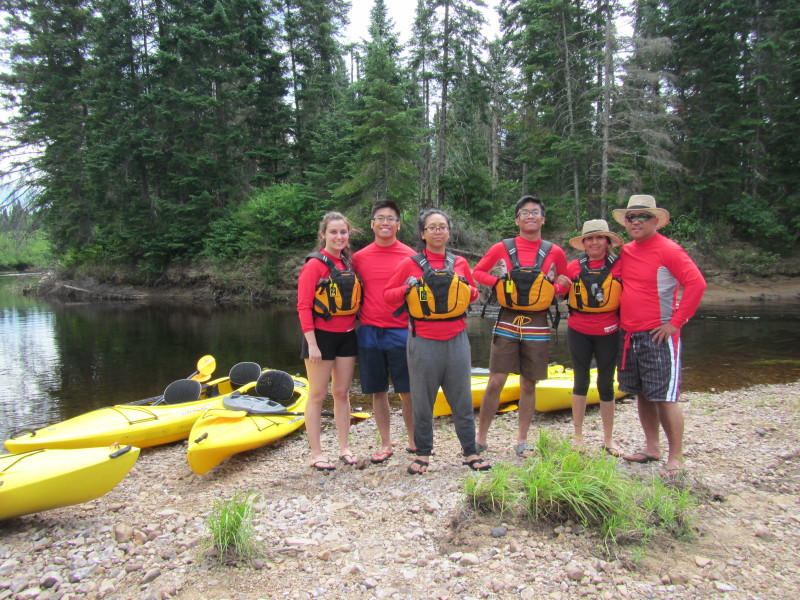 Pausing for a family picture.
 The Boston Kayaker and Family on Rivière du Diable. 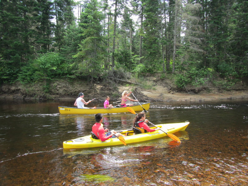 Back on the water of "Devil's River".
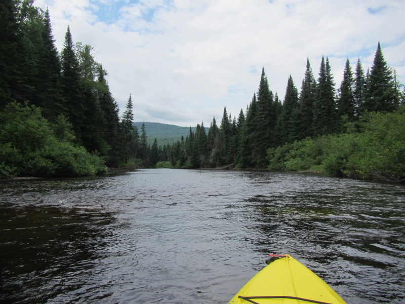
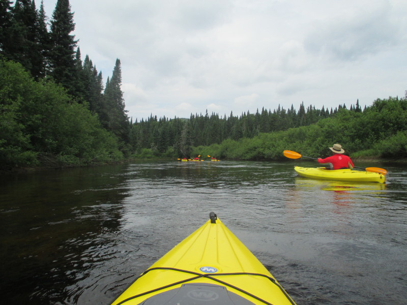
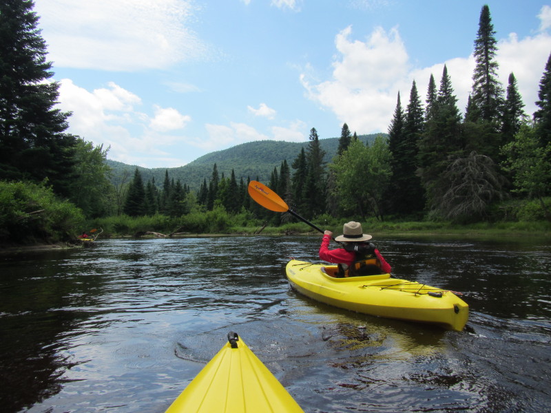
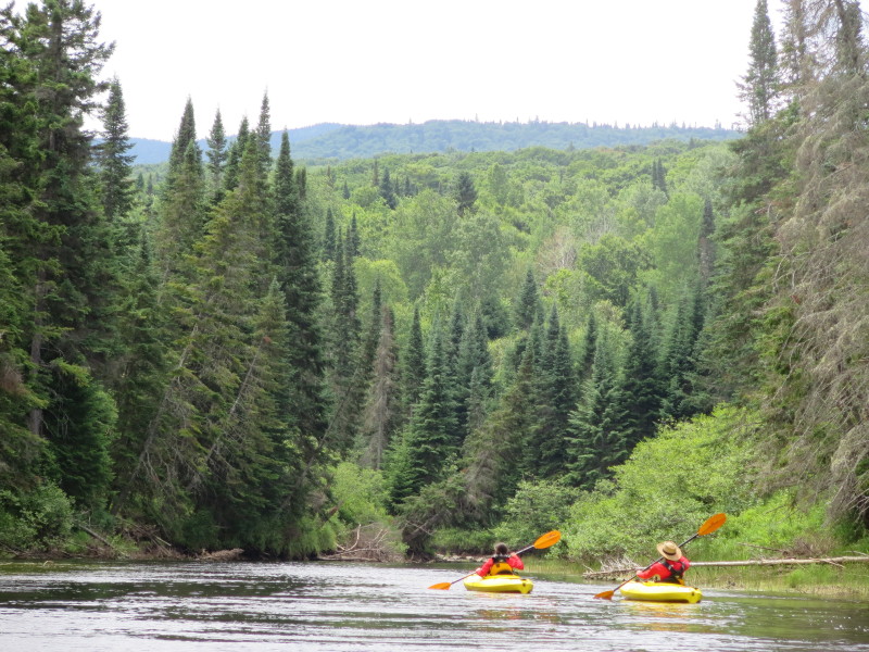

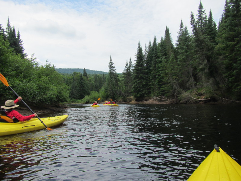
 The Boston Kayaker on Rivière du Diable.
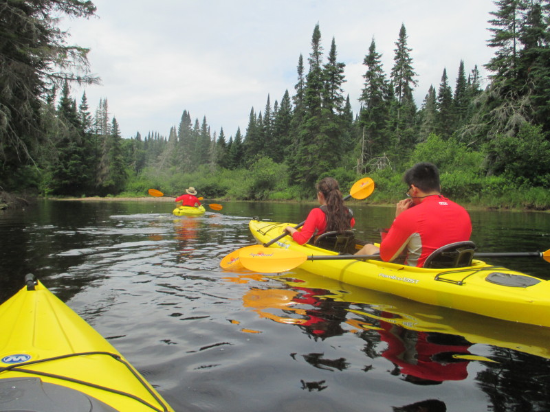
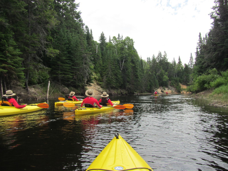
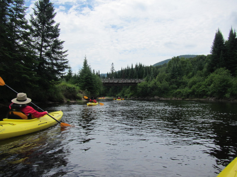
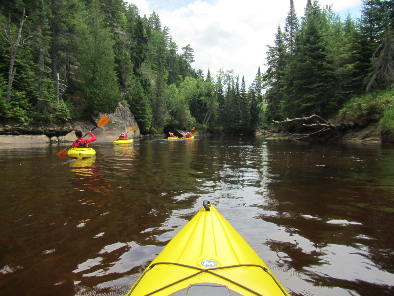
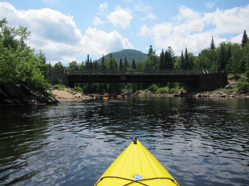
 Approaching the first bridge.
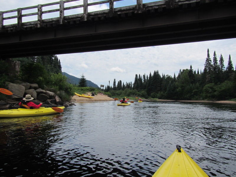
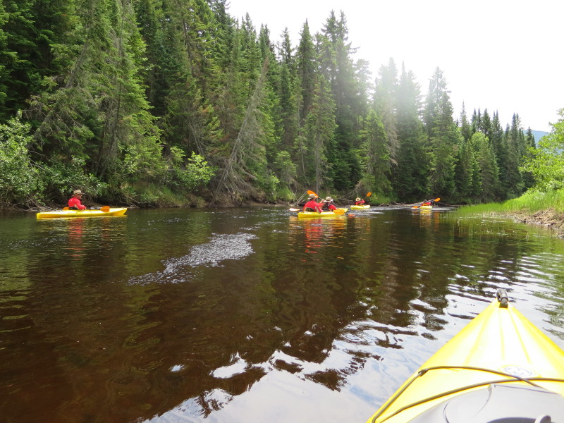
 The group of kayakers in front of us are beaching on right.
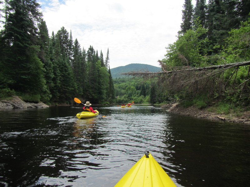
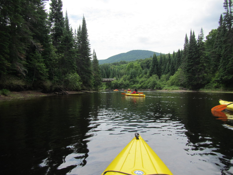
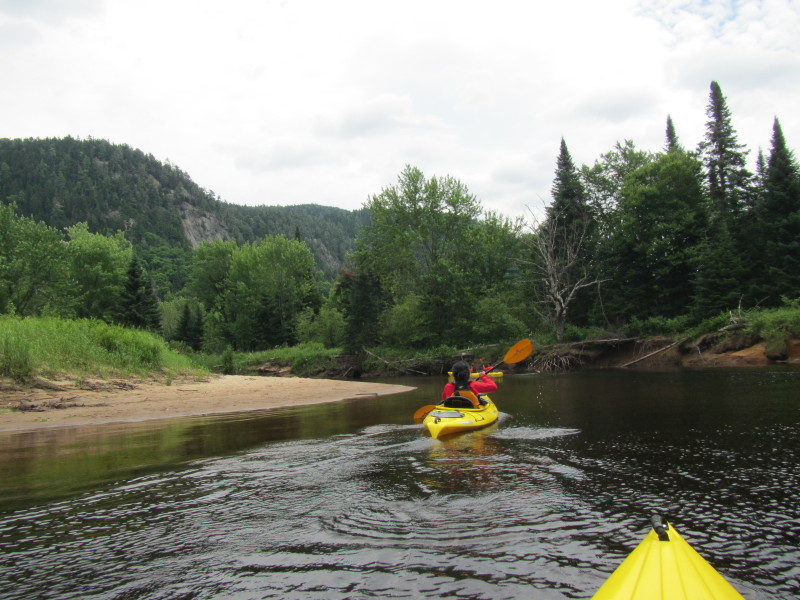
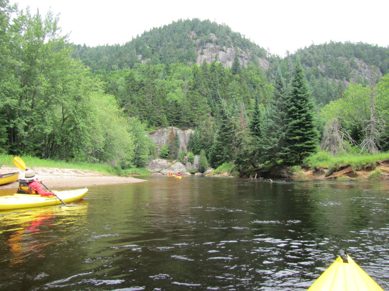
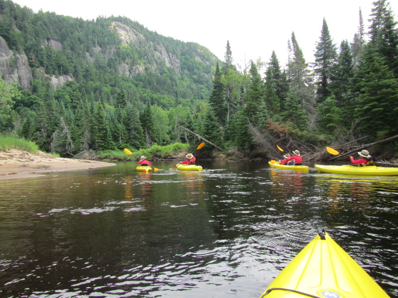
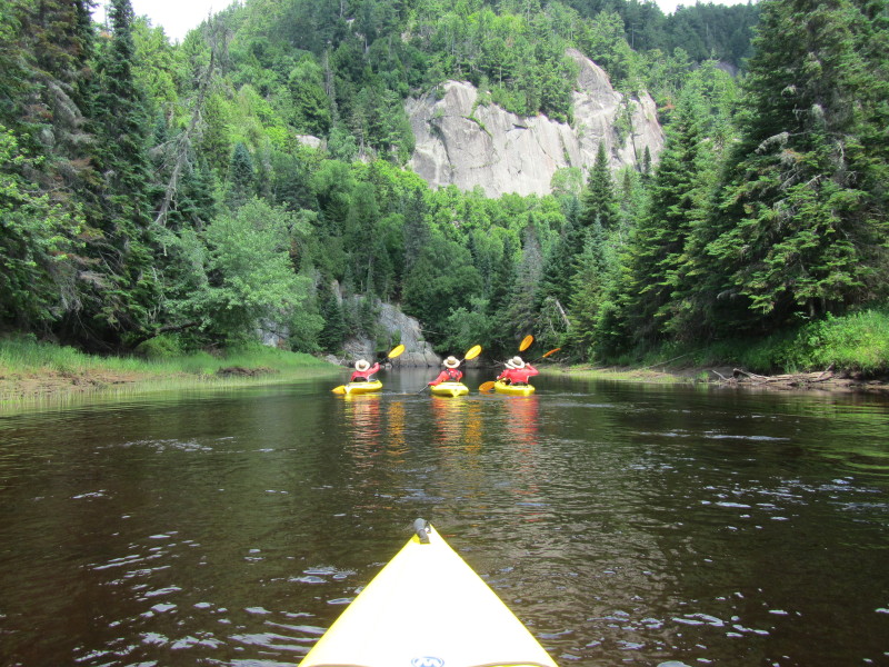
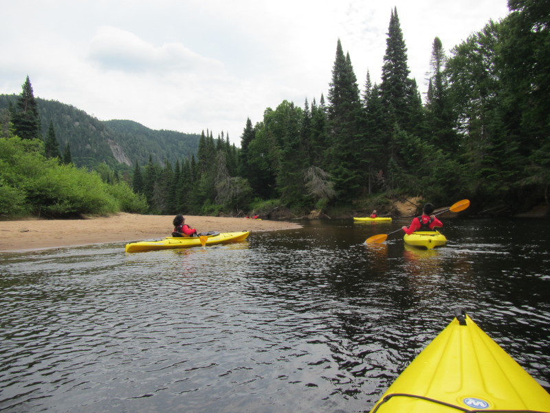 I can see now the rock walls of Mont de Vache Noire.
 I can see the Via Ferrata foot bridge.
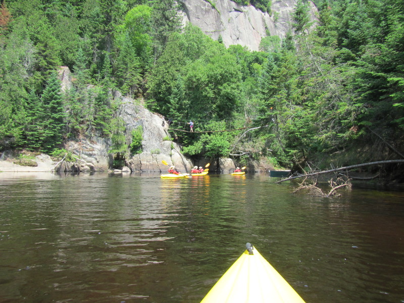
 The Via Ferrata foot bridge that we did the day before.
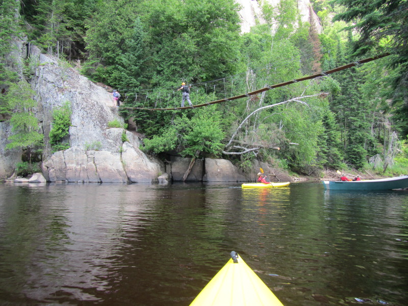
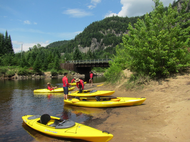
 This second bridge marks the end of our journey.
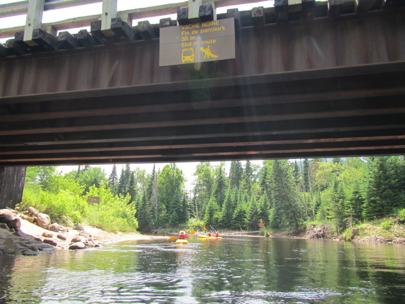 The take out is right after this bridge on river left.
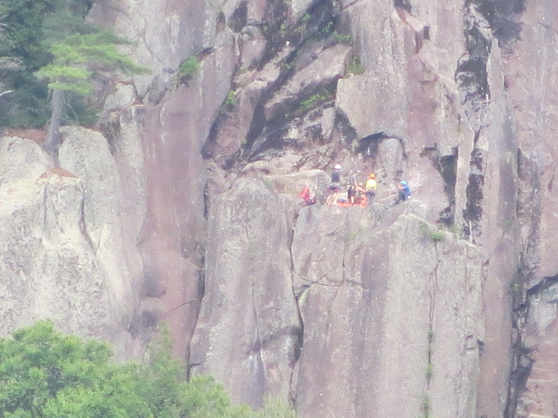
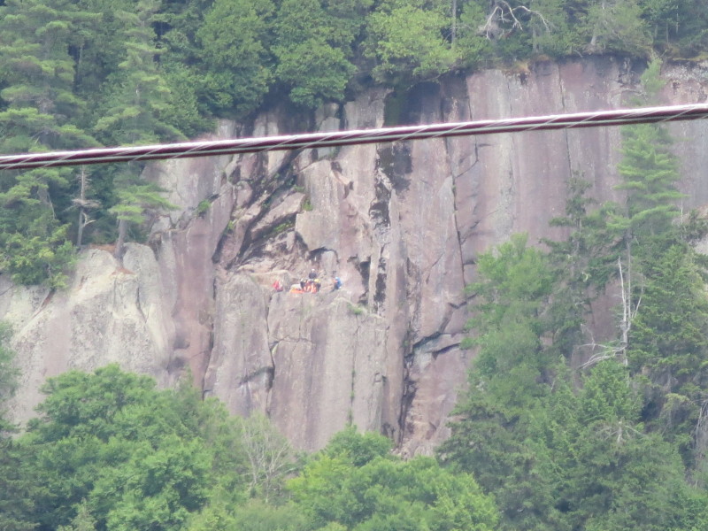 A group of rock climbers doing the Via Ferrata course on the cliff walls of Vache Noire.
|