 Kayaker

|


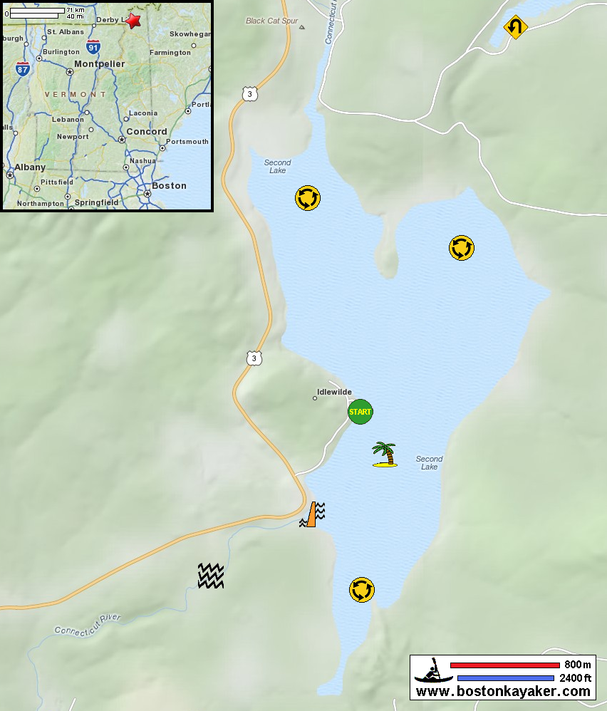


|
Download printer-friendly
PDF version that fits in one page: |

|
|
Other resources:
Connecticut River Paddlers' Trail Connecticut River Joint Commissions: Map 1 Connecticut Lakes webpage Connecticut River Joint Commissions: Map 1 Connecticut Lakes map Connecticut River Joint Commissions: Map 1 Connecticut Lakes map (cached copy) Paddling.net: Connecticut Lakes Kayak Trip Report All photos in this website are original and copyrighted. 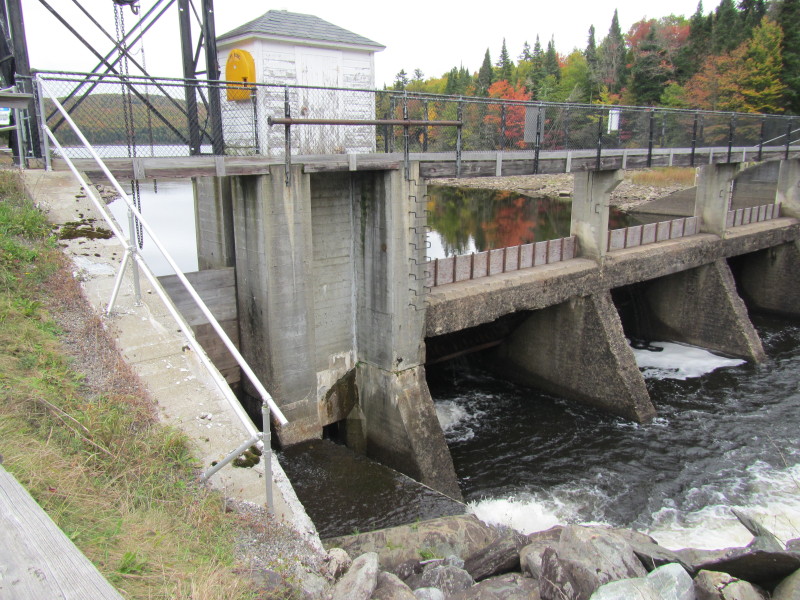 Coming from the south on Route 3, the dam of the Second Connecticut Lake.
Trip date is September 2013. 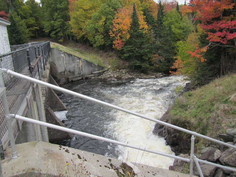 There is the Connecticut River flowing out of the Second Connecticut Lake Dam.
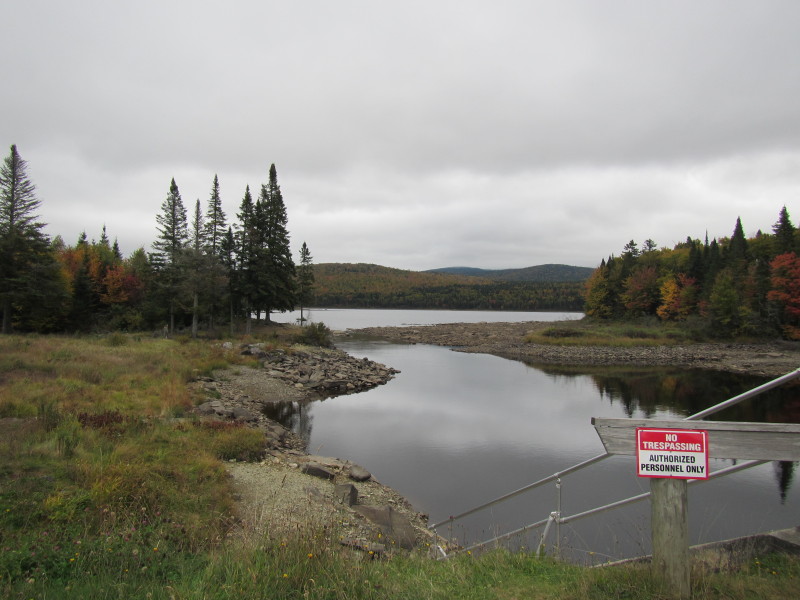 Second Connecticut Lake viewed from the dam.
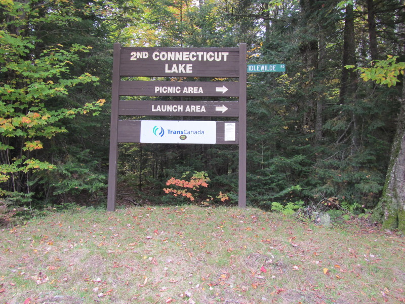 The sign on Route 3 marking the entrance to the Second Connecticut Lake launch.
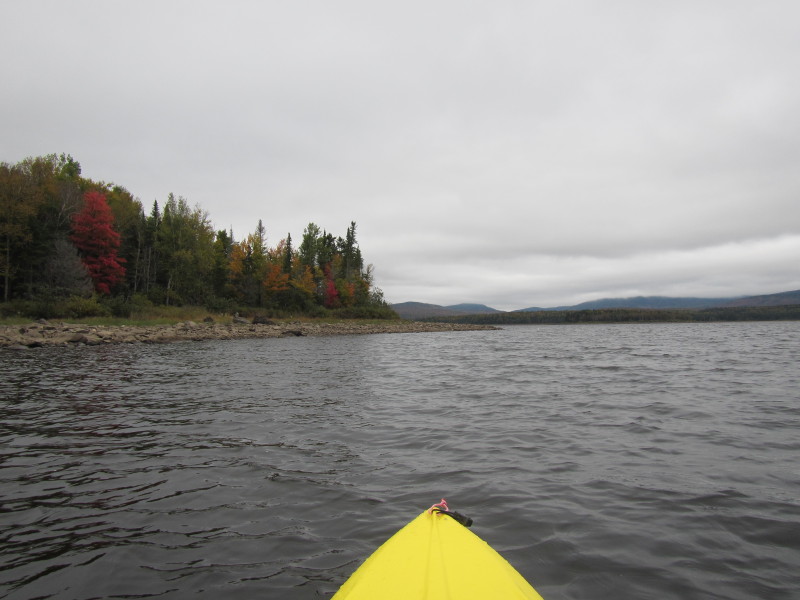
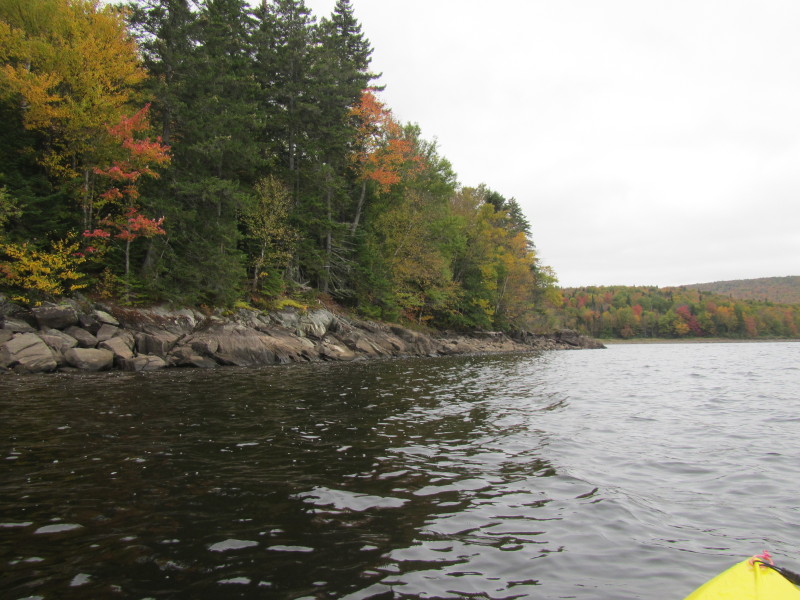
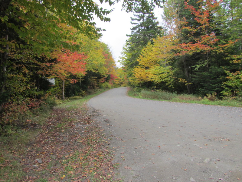 Nice foliage colors.
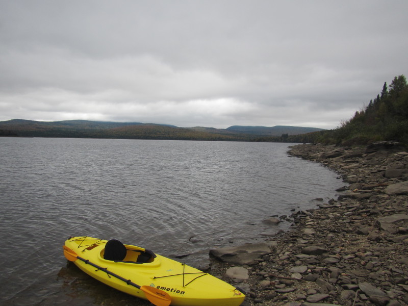
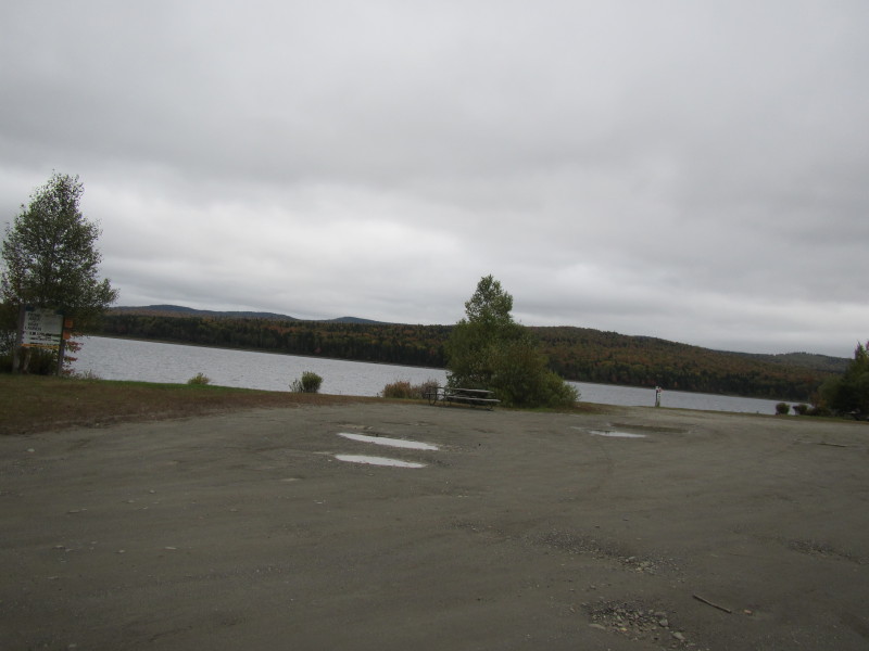 The launch area.
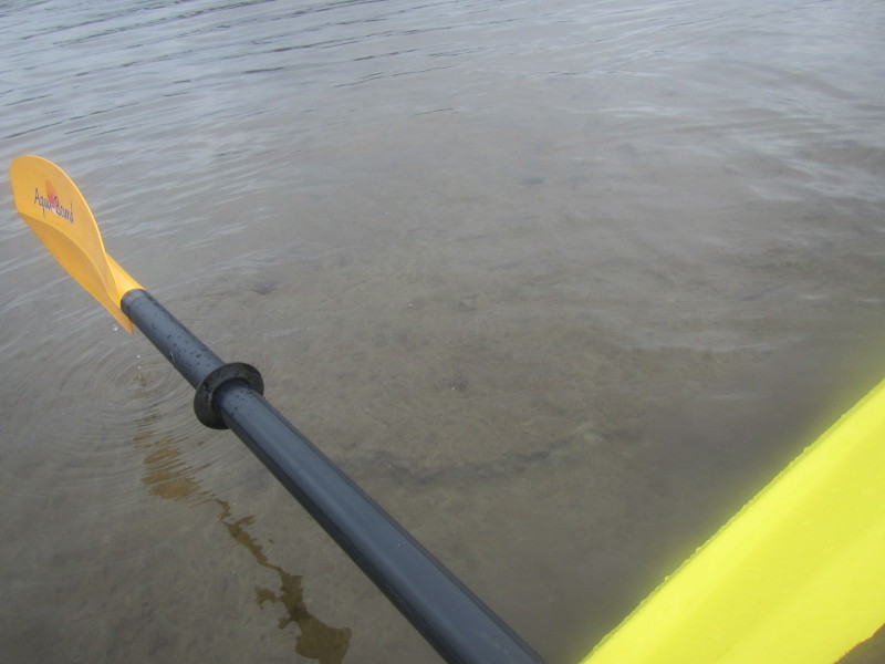
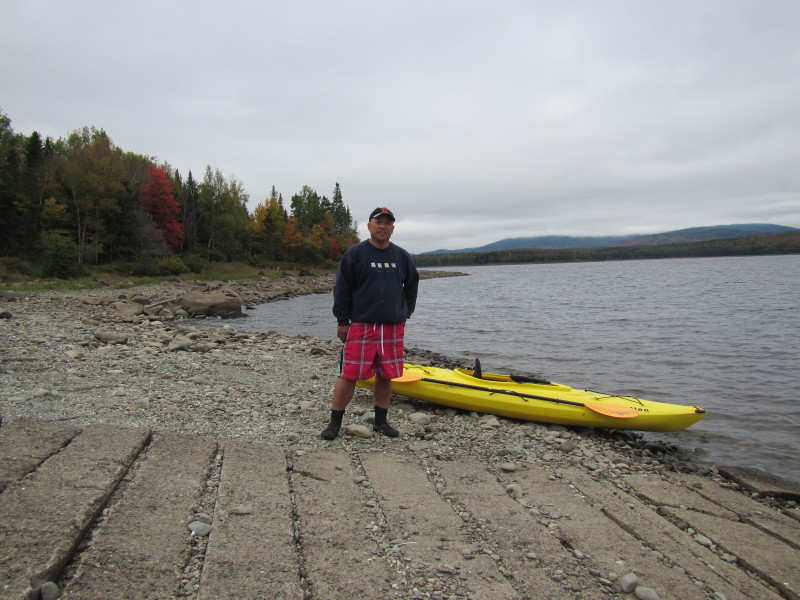 The Boston Kayaker ready to launch on the Second Connecticut Lake in Pittsburg NH.
 Just launched. Cold and very windy.
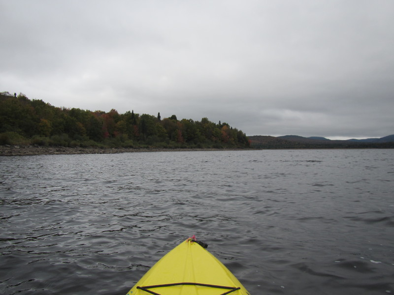
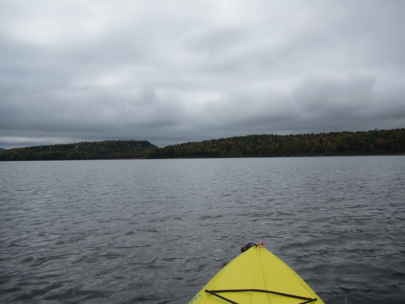
 Heading to my left, will paddle northwards and keep close to the western shore.
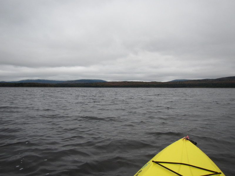
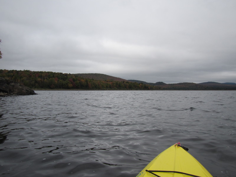
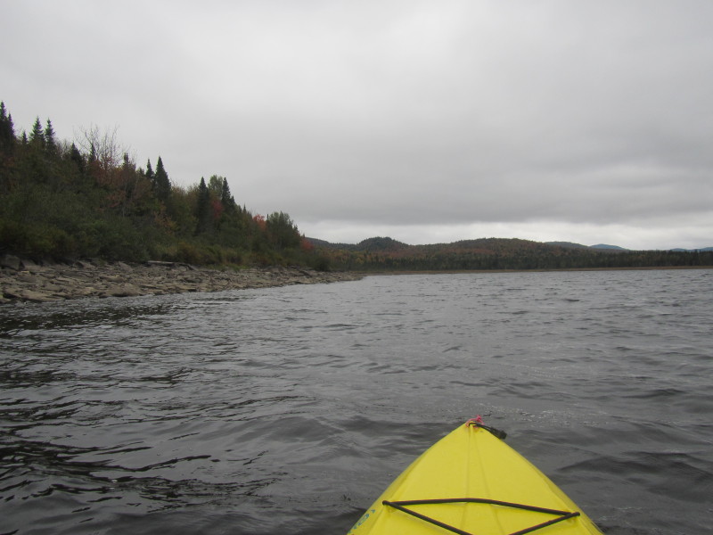
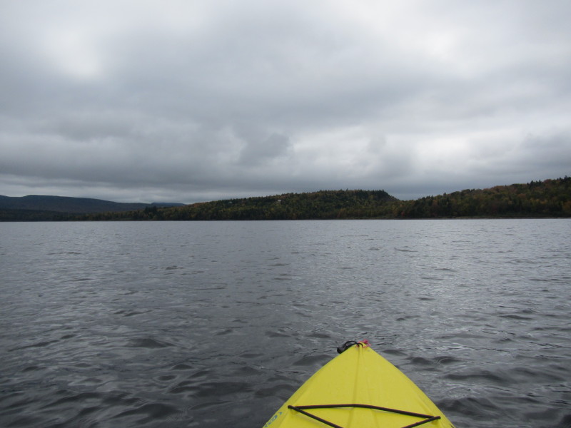
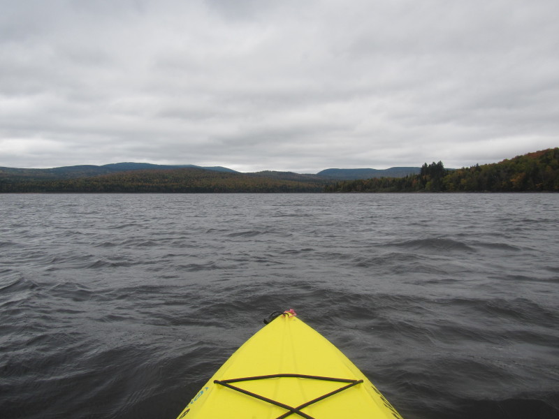
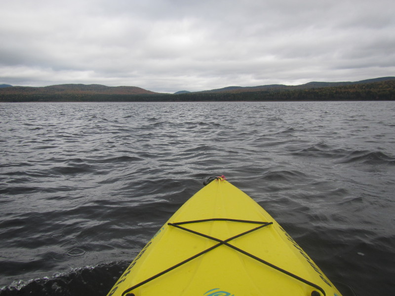
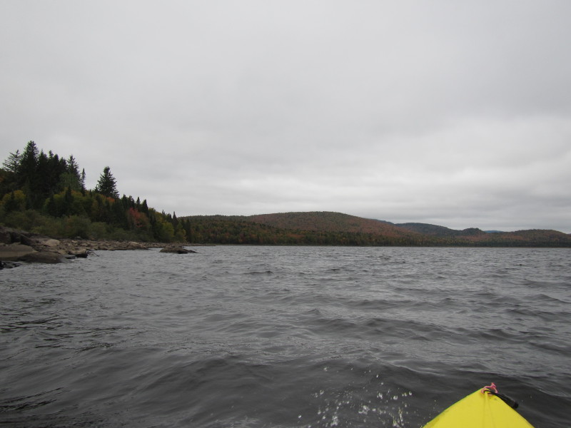 Choppy waters.
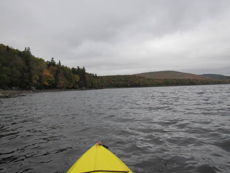
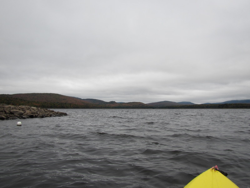
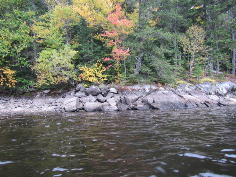
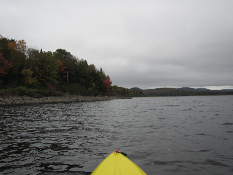
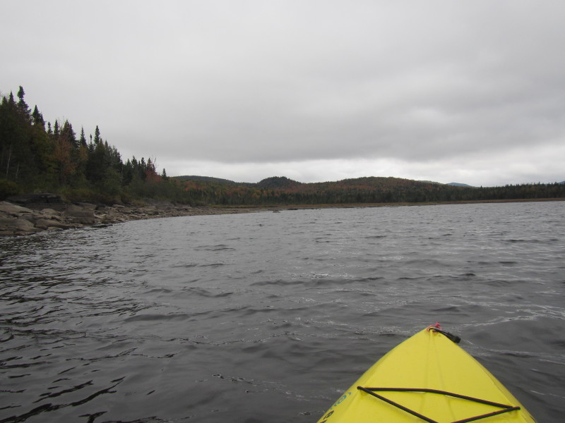
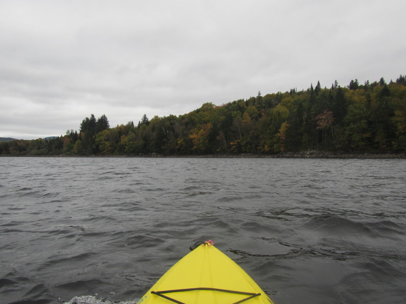
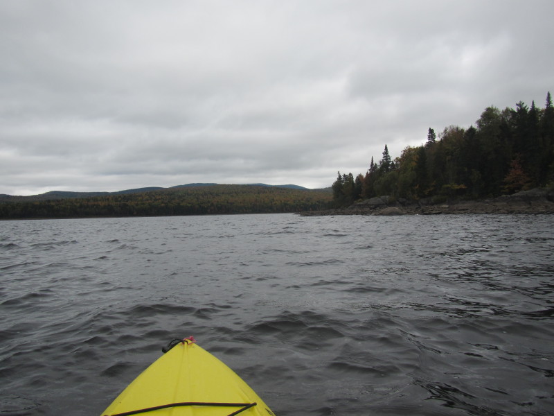
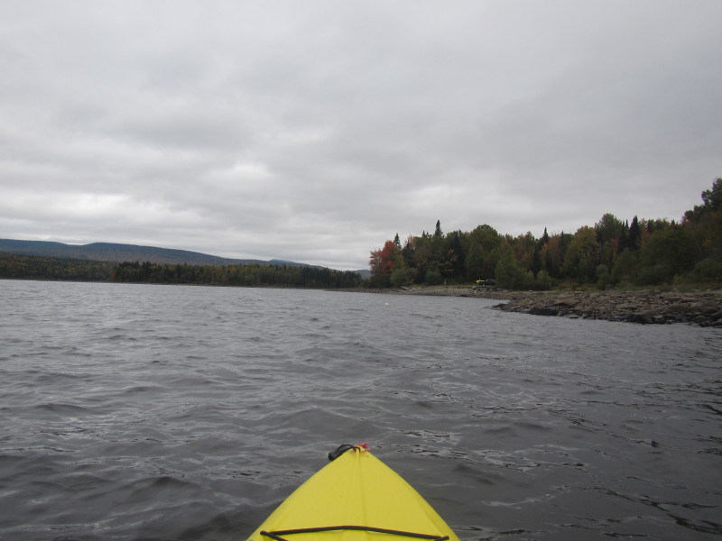
 Nice rocky shores.
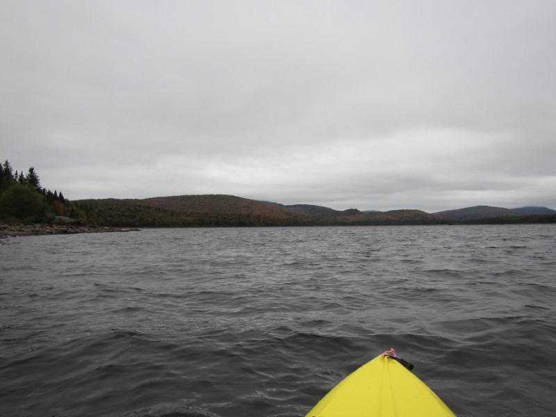
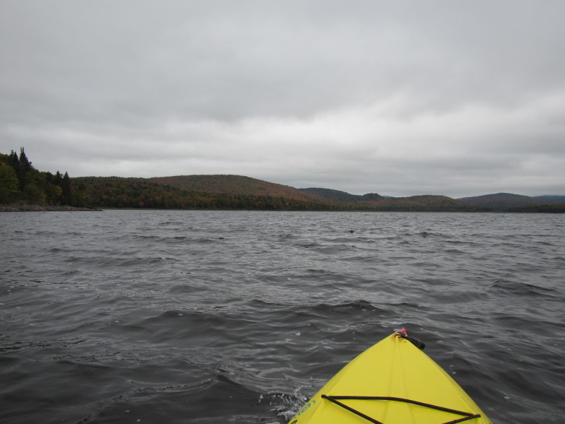
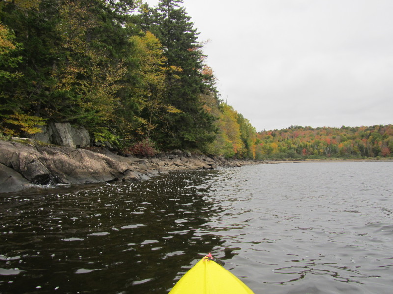
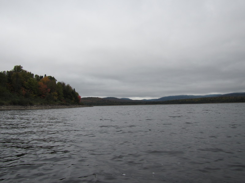
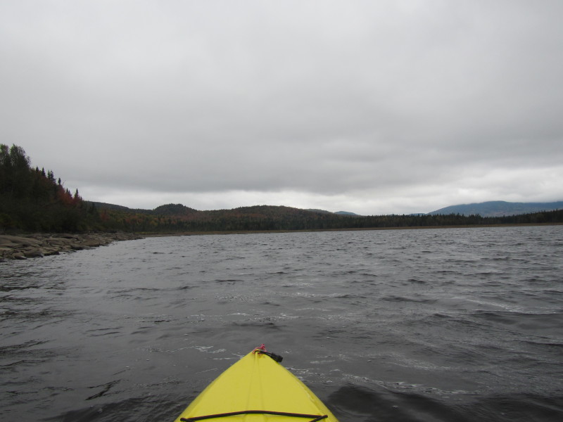
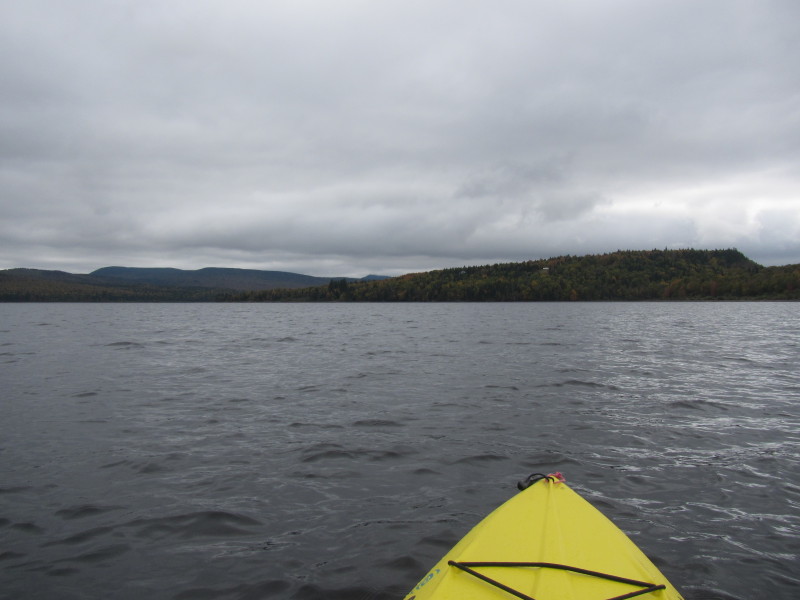
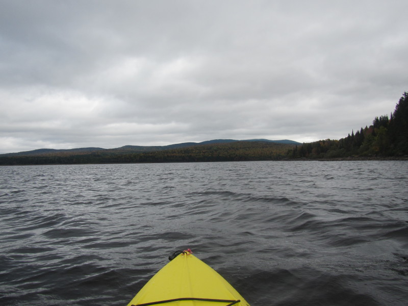
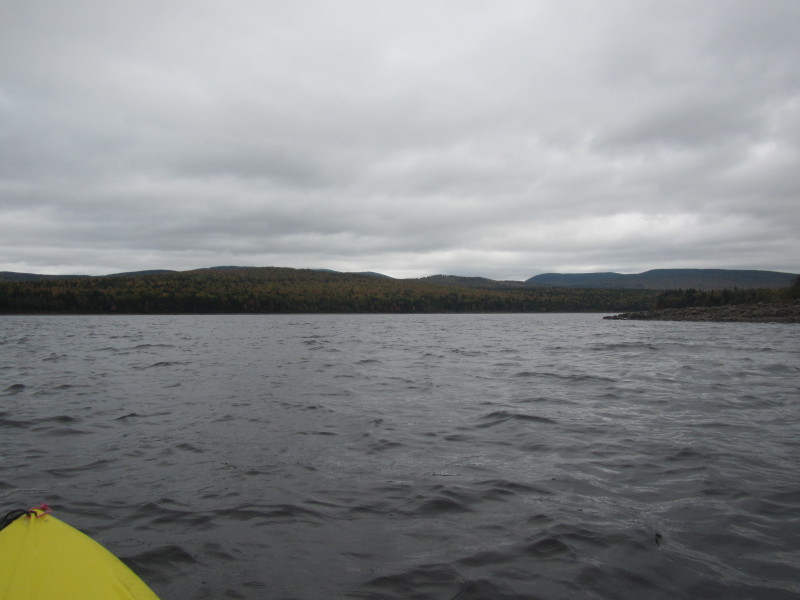
 Continuing northwards.
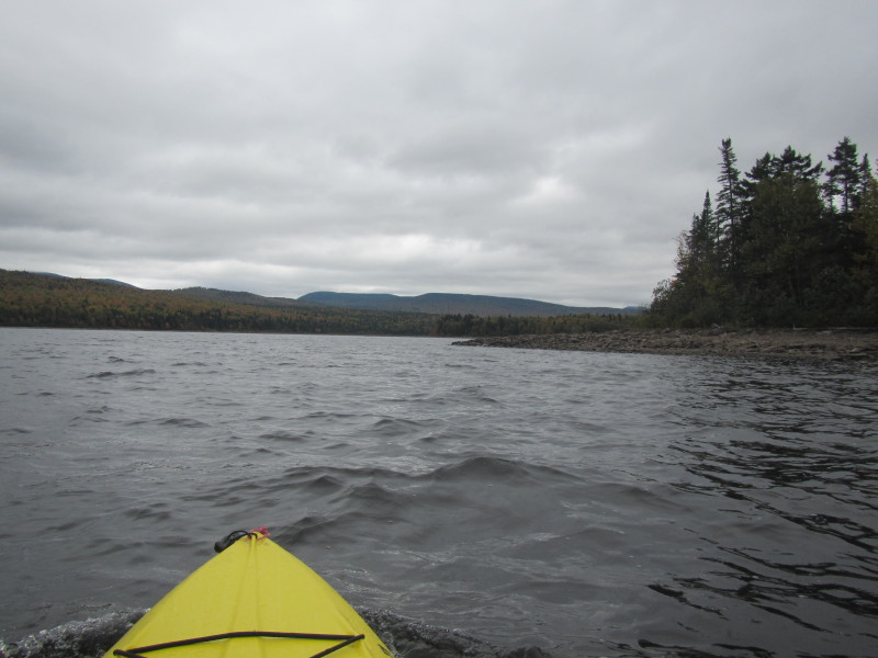
 I landed on the northwest corner of Second Connecticut Lake to take a break.
 Looking eastwards.
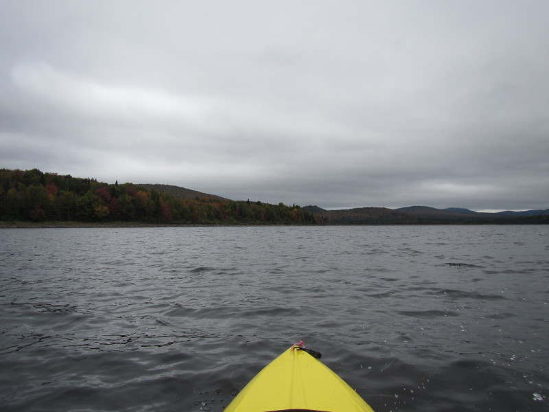
 Looking southwards.
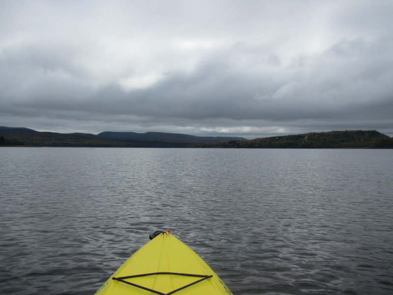
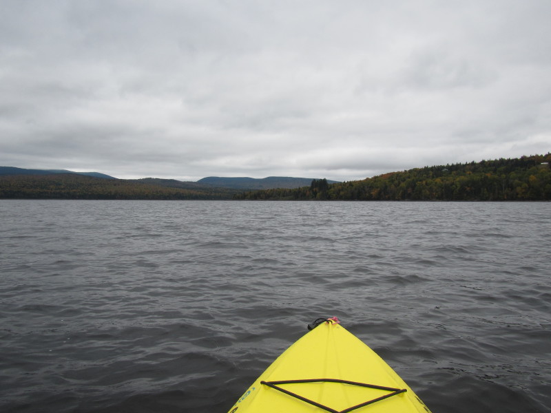
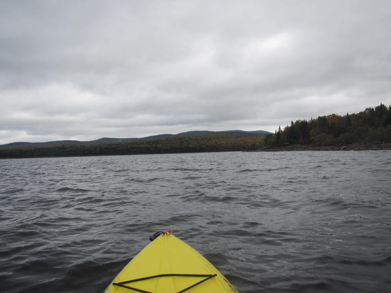
 Back on the waters of the Second Connecticut Lake.
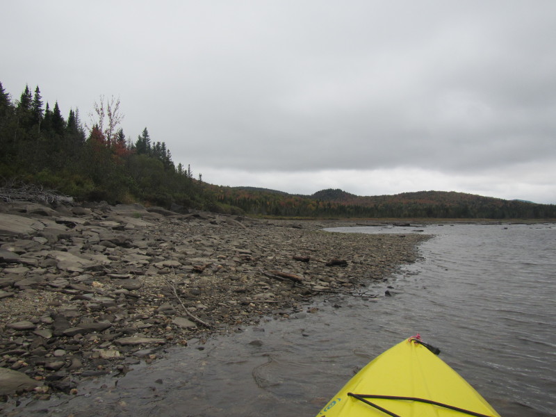
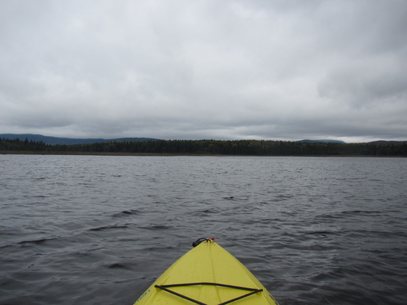
 I am paddling eastwards to check out the Connecticut River inlet.
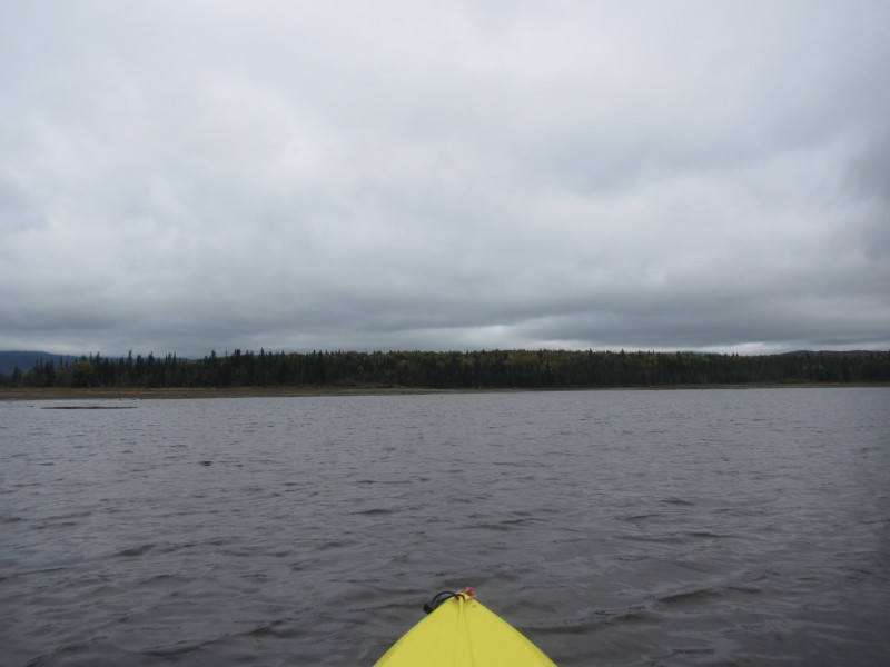
 It is too shallow here and I am getting stuck in some areas.
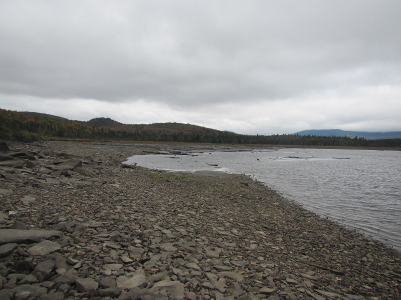
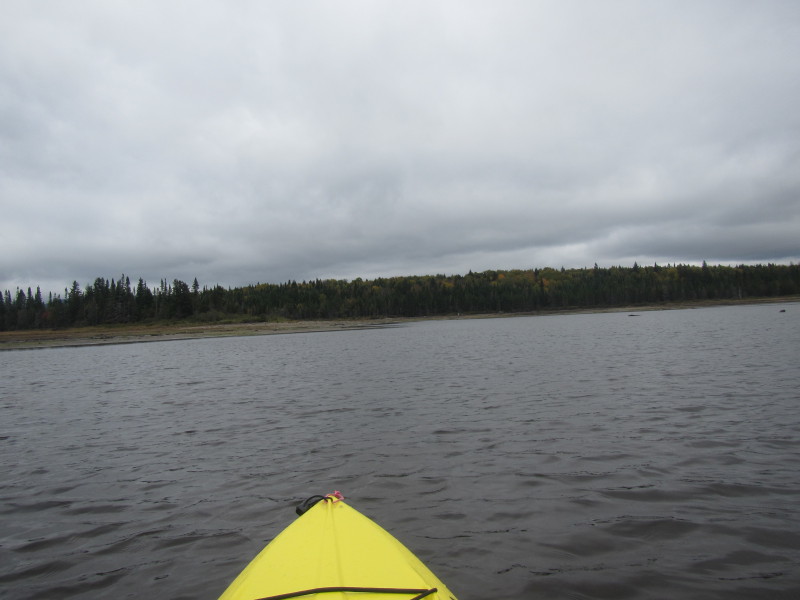
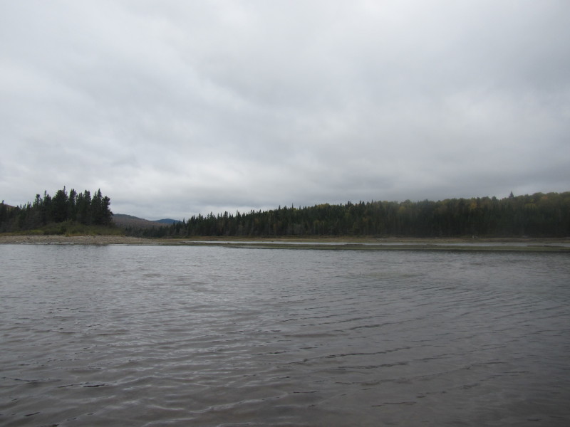 There is the Connecticut River entering the Second Connecticut Lake.
Water level to shallow for me to approach this inlet. 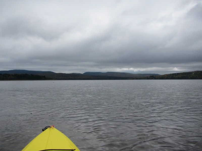 I turned around and now facing southwards.
 Now on my way back and paddling south to where I launched.
 I am paddling south westerly so I can be near the western shore.
 I can see the roofs of two houses on the western shore of the Second Connecticut Lake.
 Looking to my left, the eastern shore of the Second Connecticut Lake.
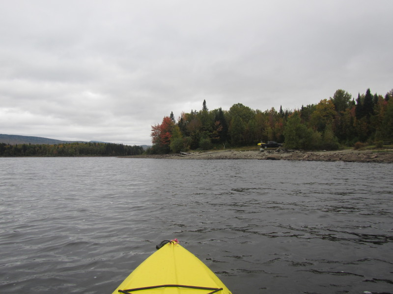
 After I bend to the right, I should see the launch area.
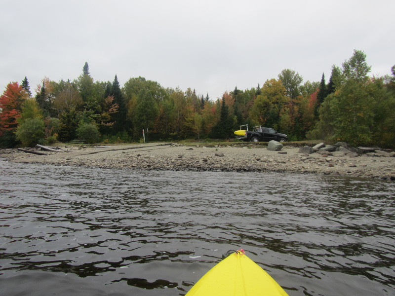
 I can see my truck and the launch area.
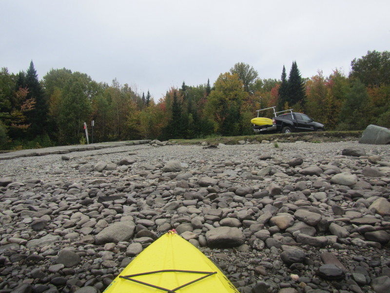 Landed.
|