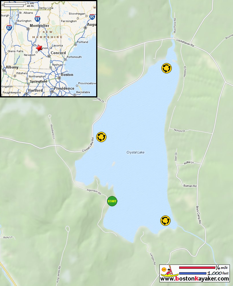
Other resources:
NH Govt: Crystal Lake Bathymetry Map
NH Govt: Crystal Lake Bathymetry Map (cached copy)
Number of original photos on this page : 76
All photos in this website are original and copyrighted.
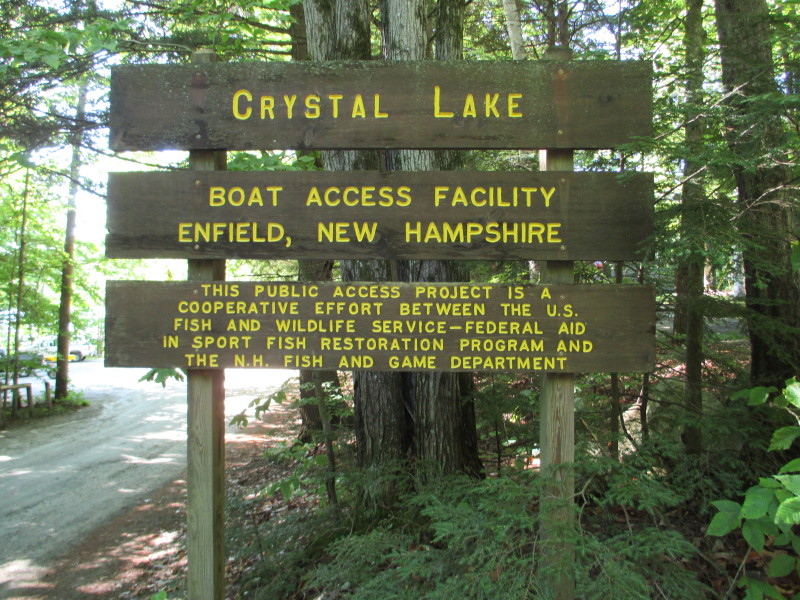 At the put in to Crystal Lake on Algonquin Road in Enfield NH.
Trip date is July 2016.
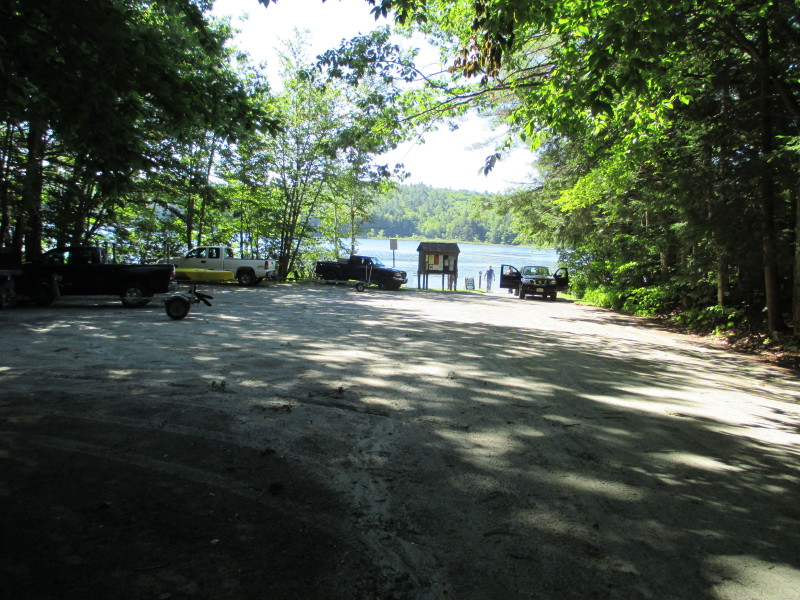 The access area to Crystal Lake.
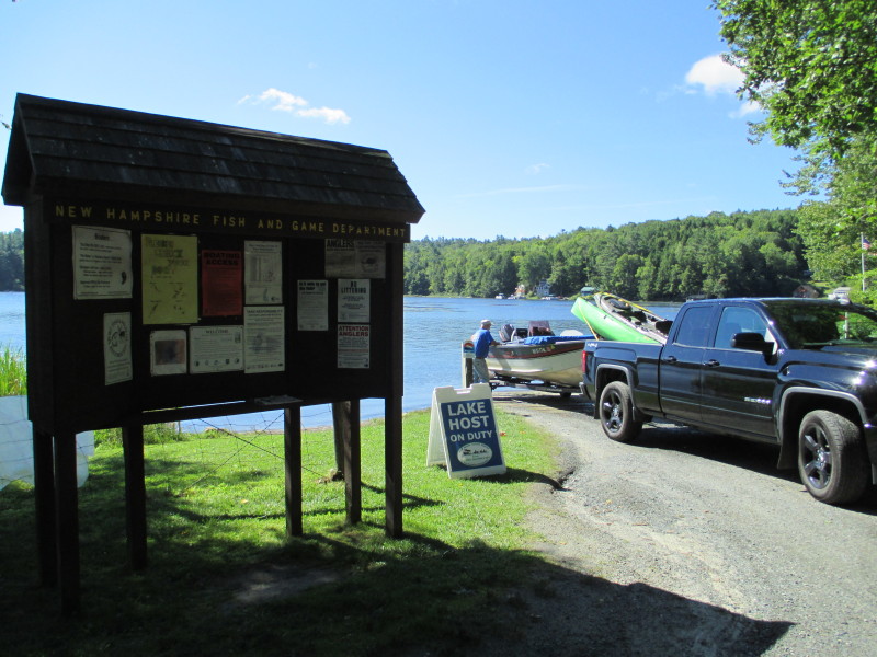 Our lake host is on duty.
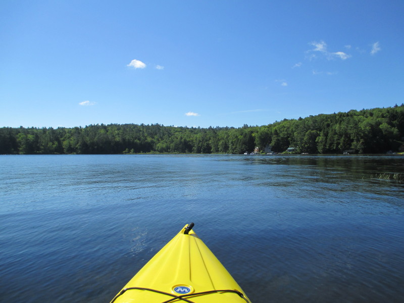 The Boston Kayaker just launched on Crystal Lake in Enfield NH.
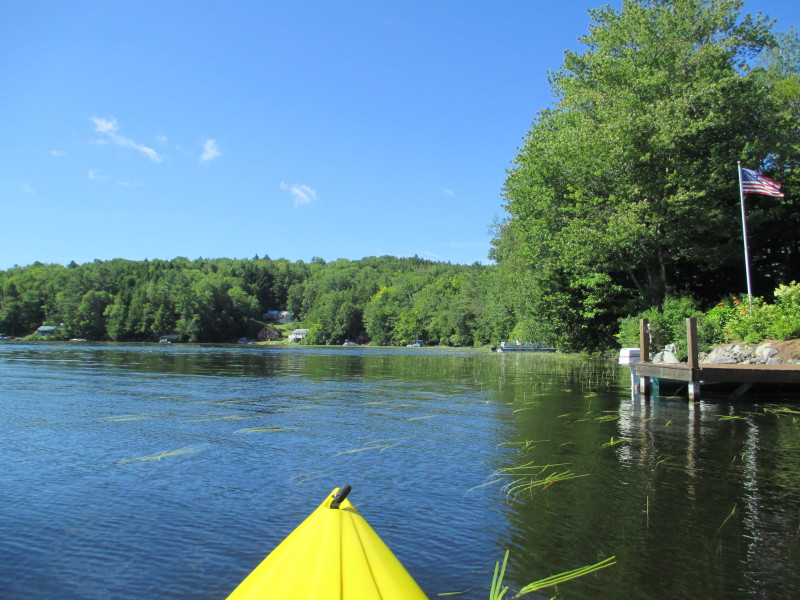 Veering to my right, will circle Crystal Lake counter-clockwise.
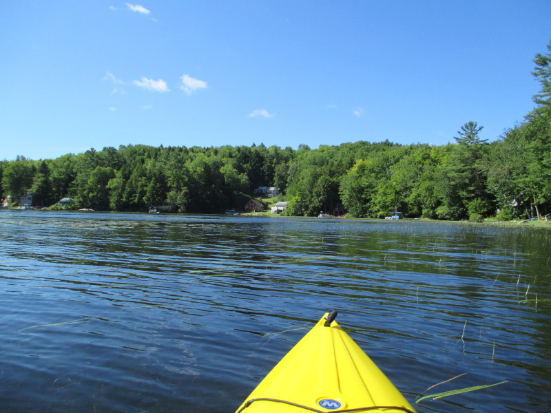 In front of me is the south west cove of Crystal Lake.
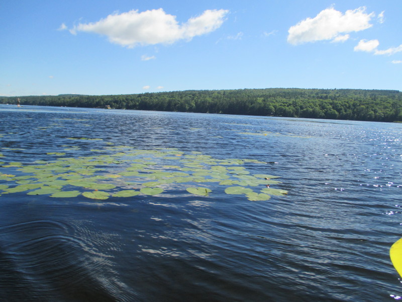 Looking to my left, the eastern shore of Crystal Lake.
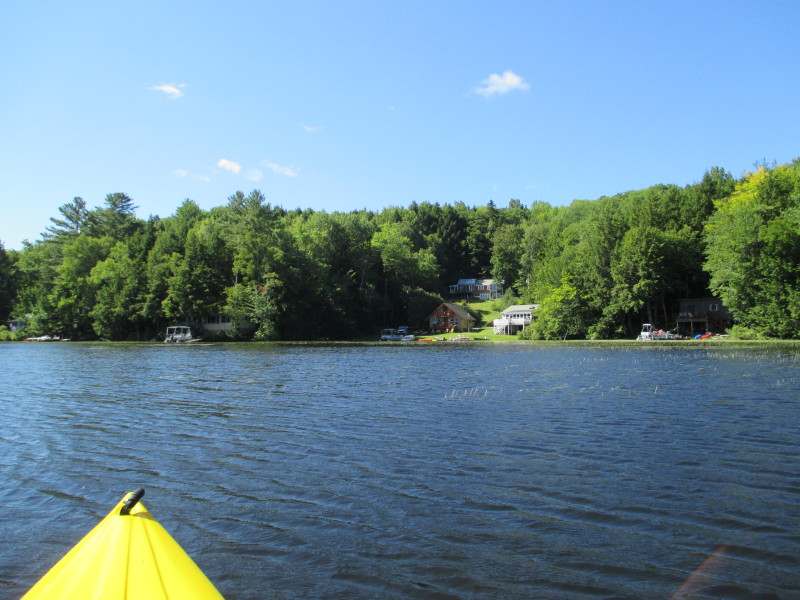 Pivoting to my left.
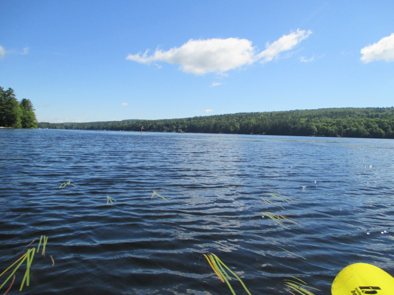 Looking to my left northwards, Crystal Lake viewed from the south west end.
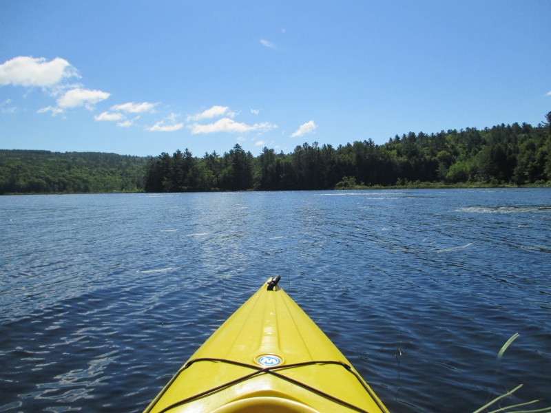 Paddling eastwards.
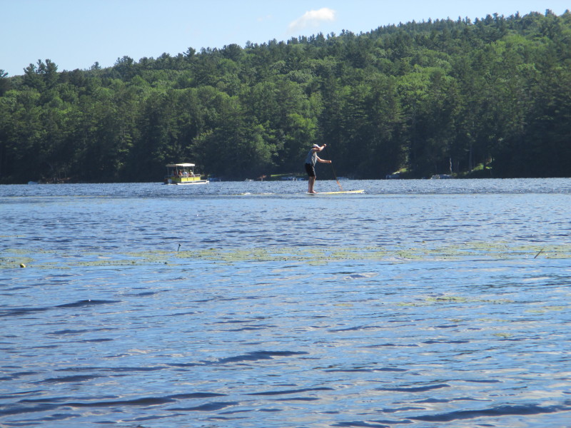 A pontoon boat and a stand-up paddler in the middle of Crystal Lake.
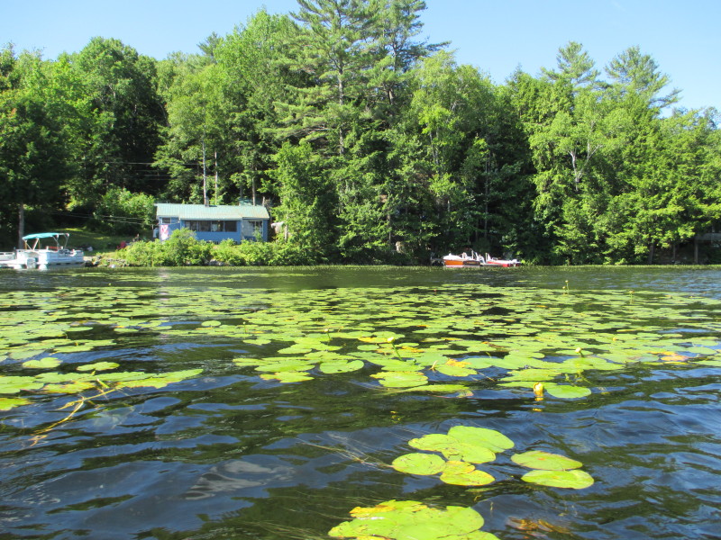 Some water lilies on my right.
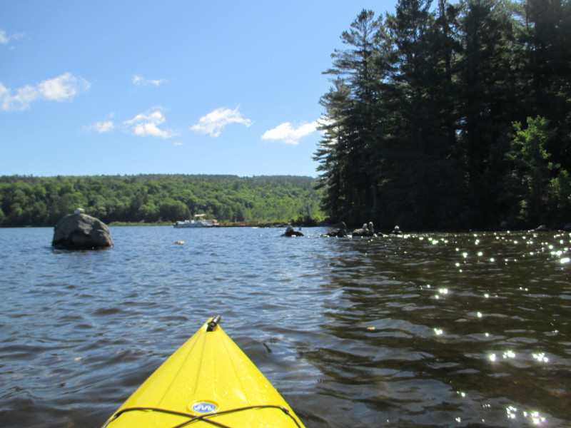
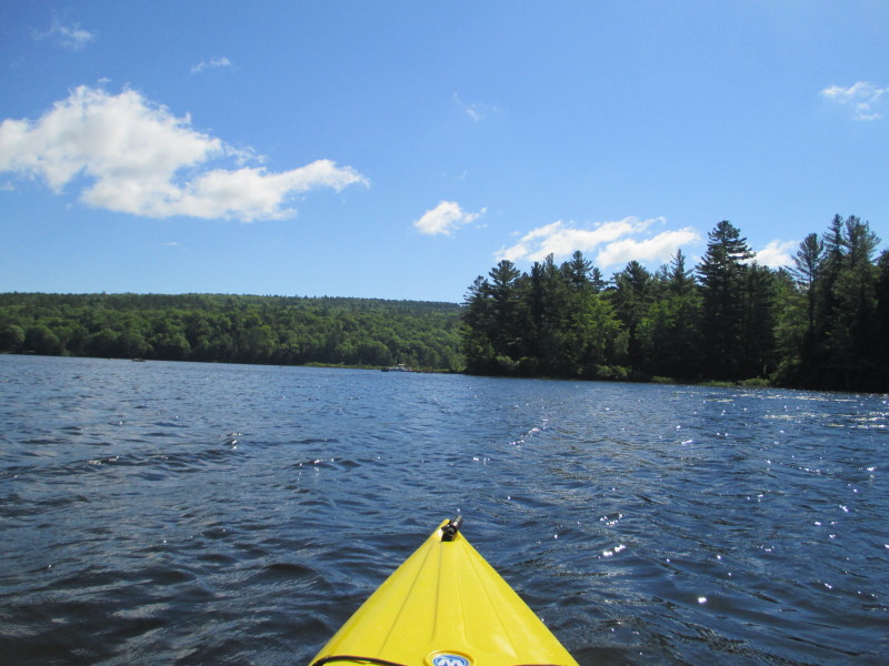 At the center of the picture is the south middle corner of Crystal Lake.
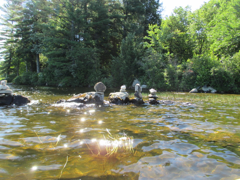 Quasi-inukshuks (my term) on Cyrstal Lake.
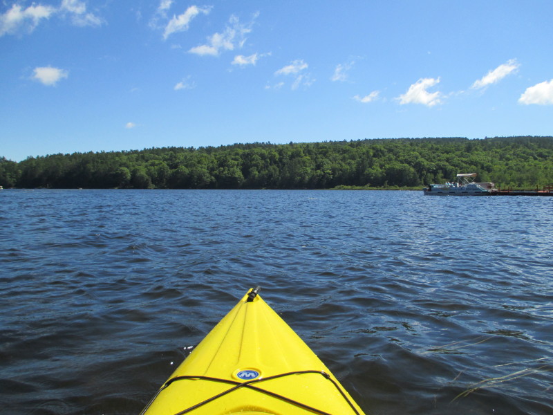 Approaching the south middle corner of Crystal Lake.
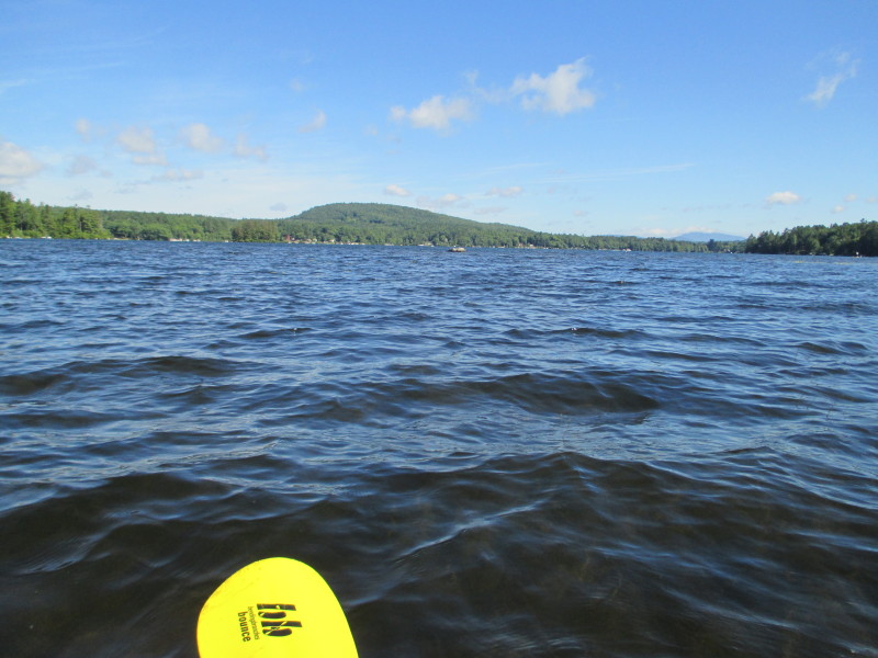 Looking to my left northwards, Crystal Lake viewed from the south end.
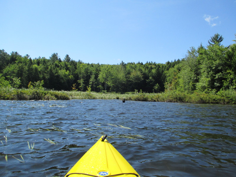 At the south middle corner of Crystal Lake, will check out this outlet.
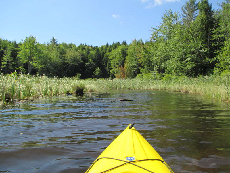 Entering the outlet at the south middle corner of Crystal Lake.
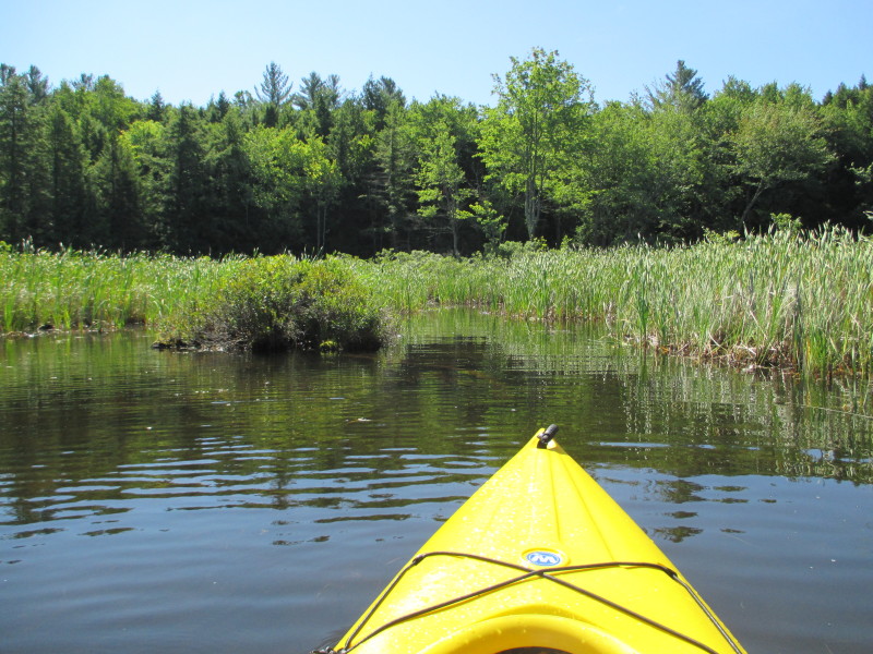
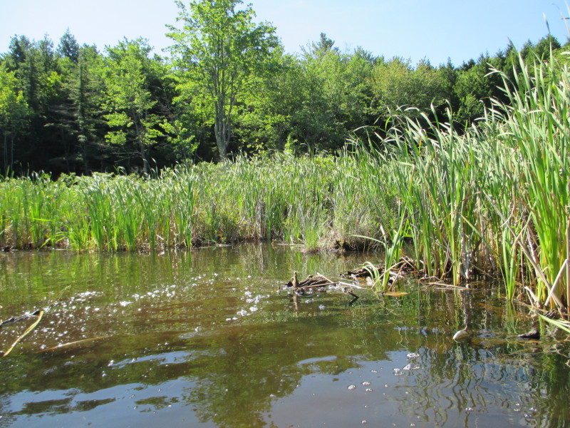 Apart from the short stretch, this outlet turns swampy with no clear main line.
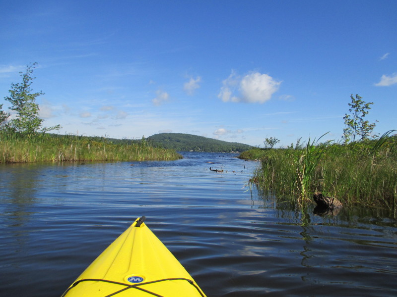 Just turned around and re-entering the main body of Crystal Lake from the south middle outlet.
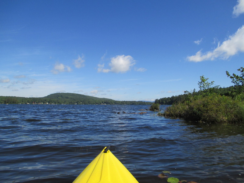 Back at Crystal Lake, veered to my right to continue my counter-clockwise circle.
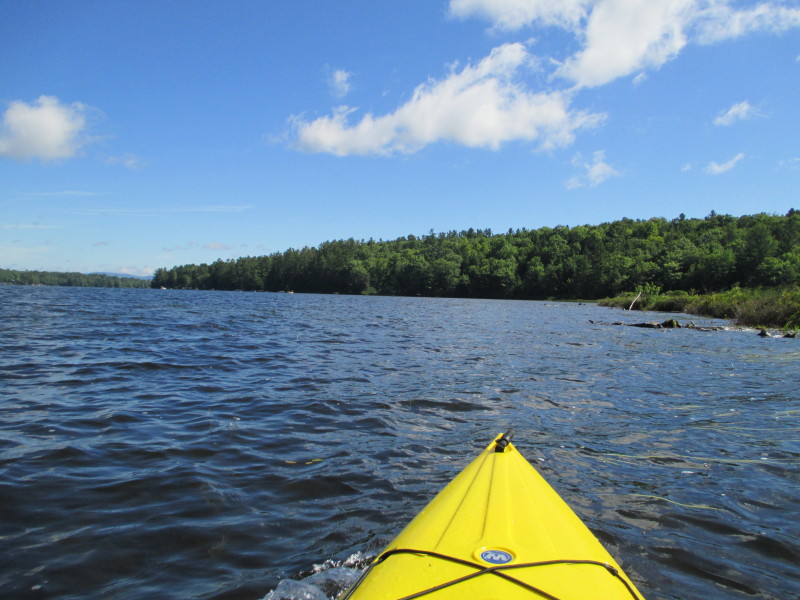 Continuing eastwards along the south shore.
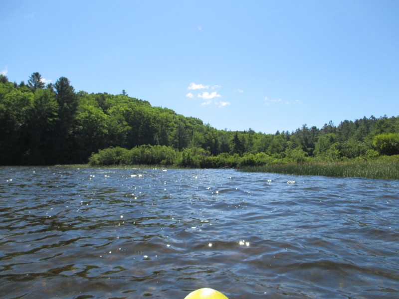
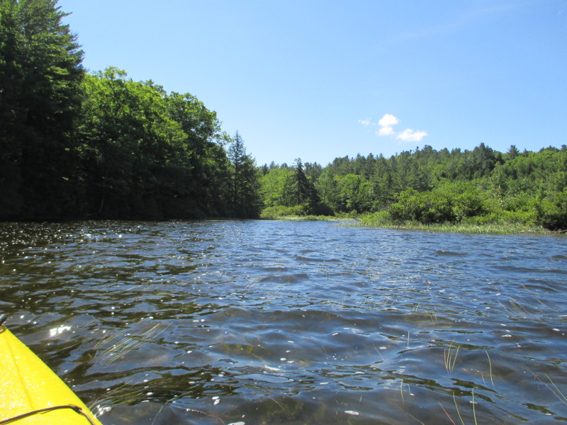 At the right half of this picture is the south east corner of Crystal Lake.
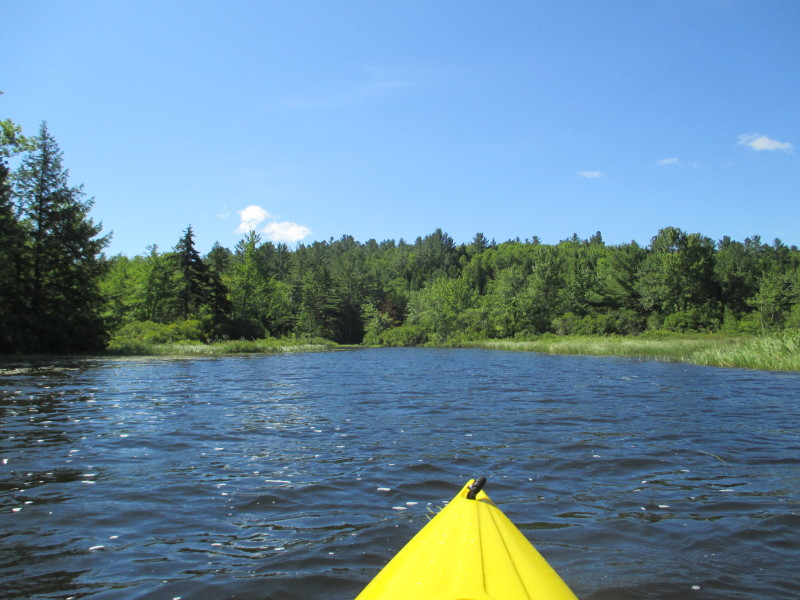 Approaching the south east corner of Cyrstal Lake.
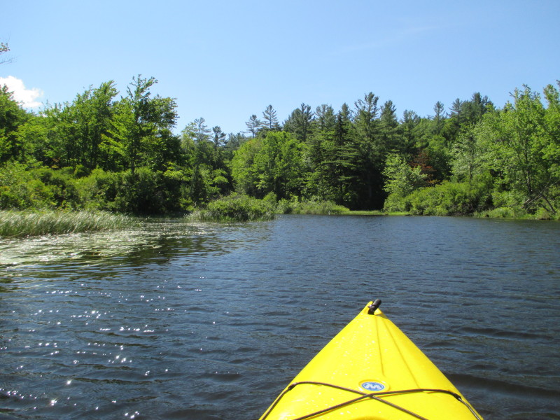 Just entered the outlet on the south east corner of Crystal Lake.
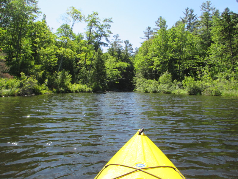 This is the fun part of kayaking, not sure what to expect here.
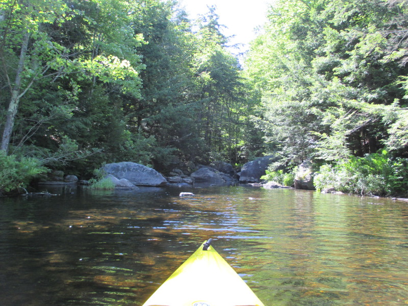 This south east outlet quickly turned into a dead end of rocks.
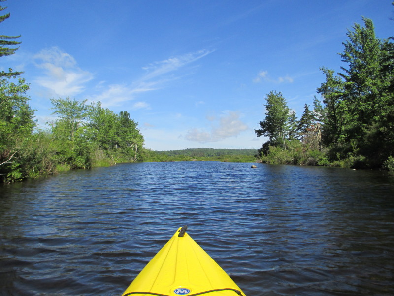 Just turned around and re-entering the main body of Crystal Lake from the south east outlet.
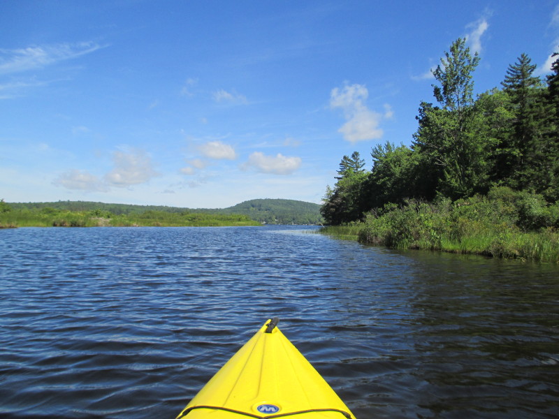 This outlet is river-like for a short stretch.
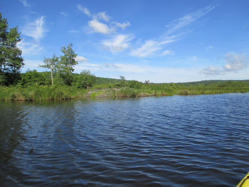 A beaver lodge on Crystal Lake.
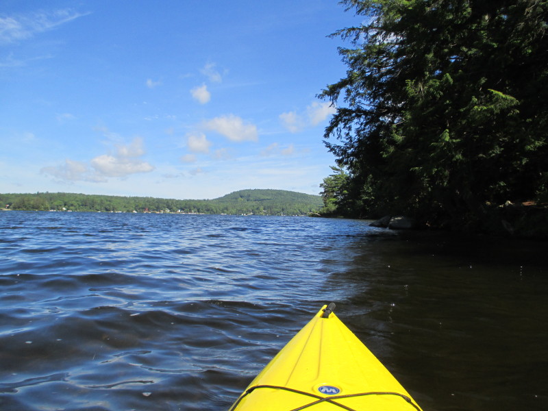 Just re-entered Crystal Lake from the south east outlet and now paddling northwards.
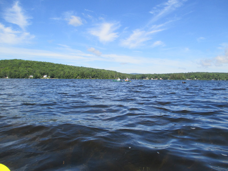 A couple of kayakers on Crystal Lake.
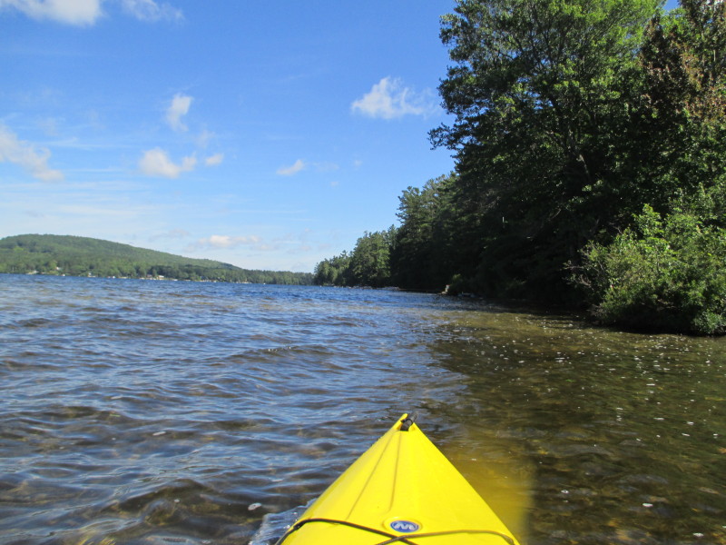
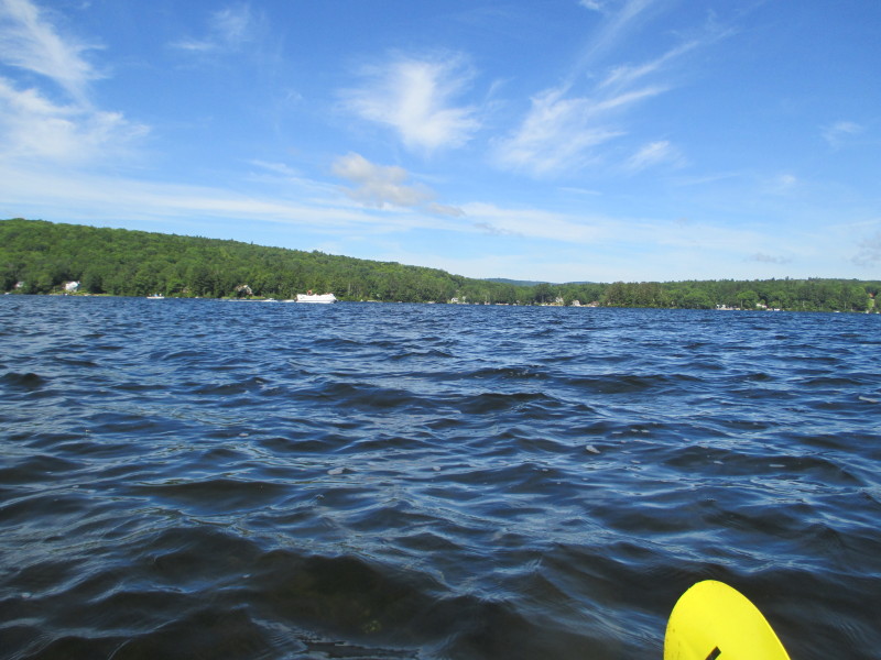 Looking to my left, a pontoon boat on Crystal Lake.
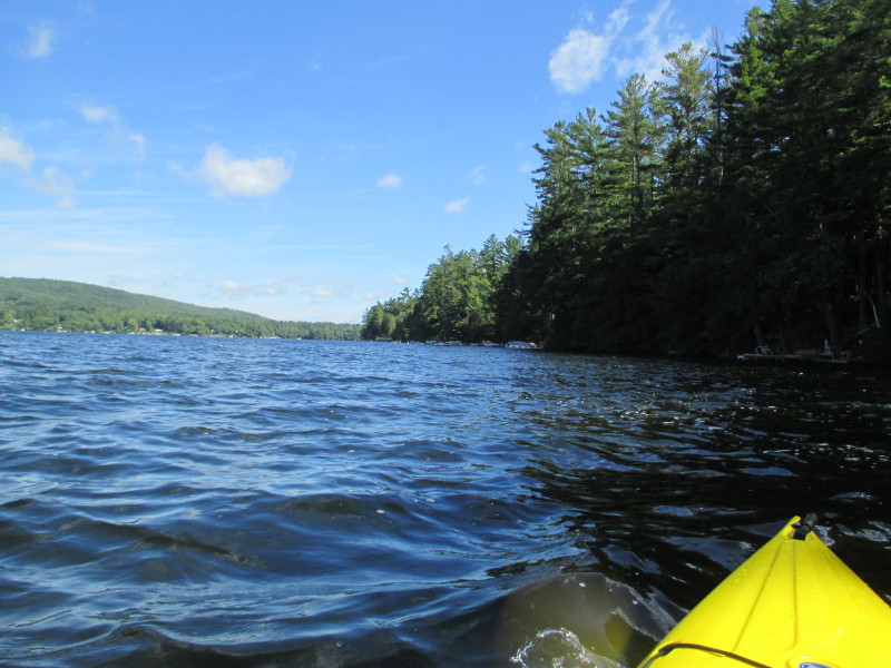
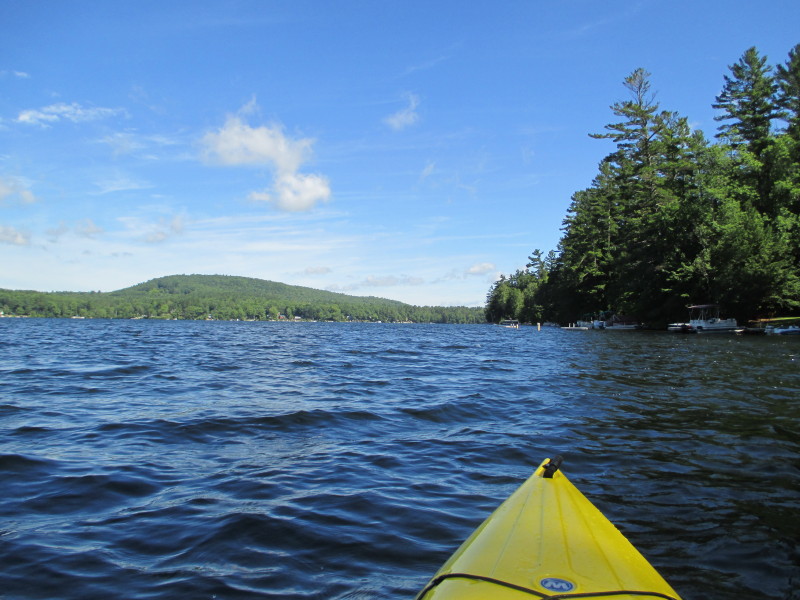 Continuing northwards with the eastern shore on my right.
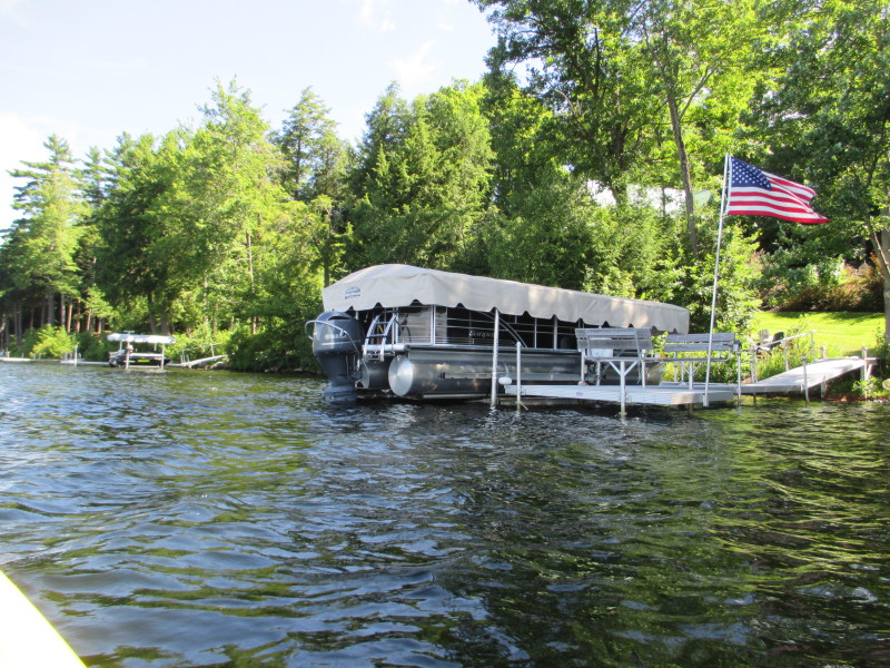
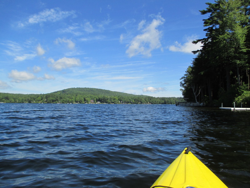
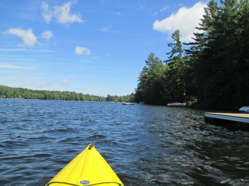
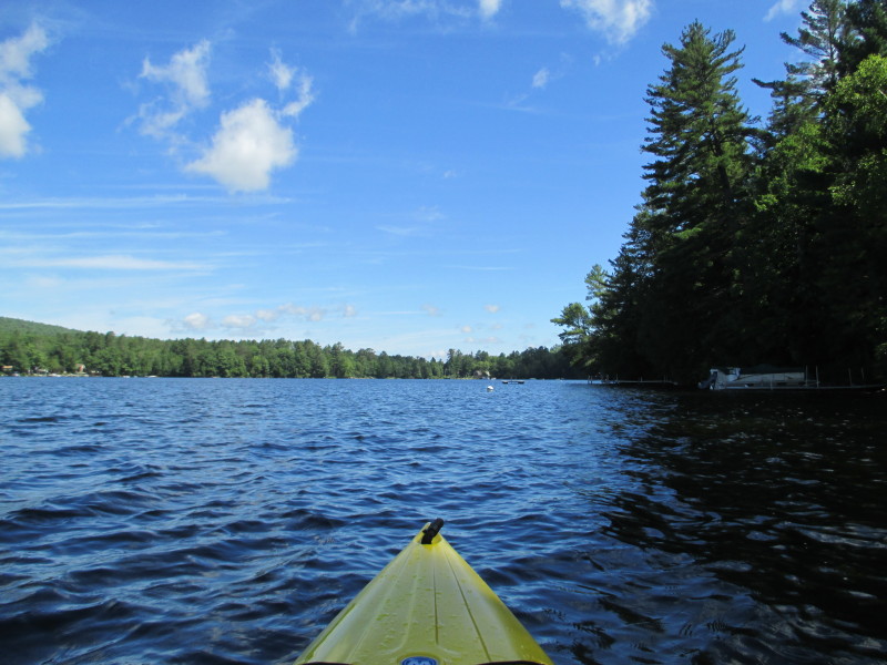
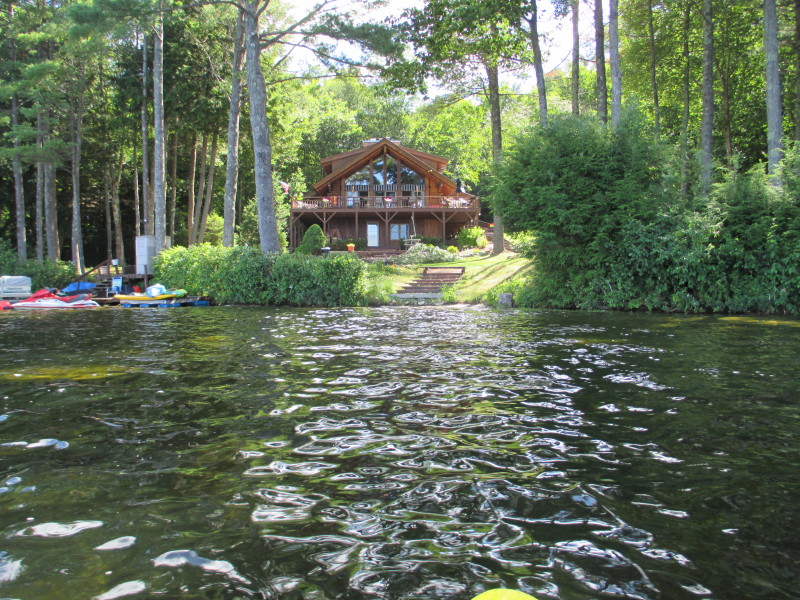
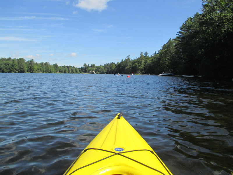 A kayaker on Crystal Lake.
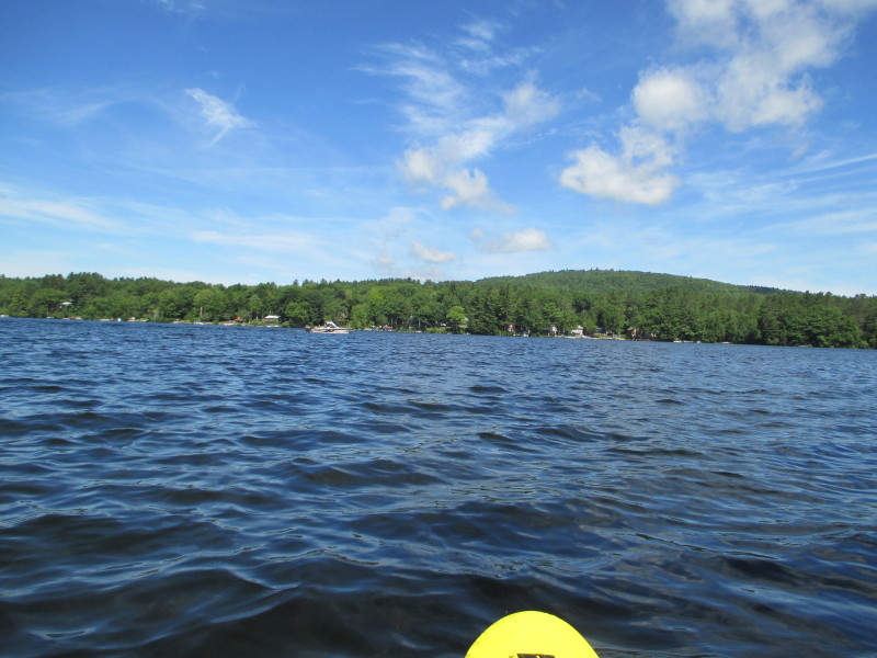 Looking to my left, the western shore of Crystal Lake.
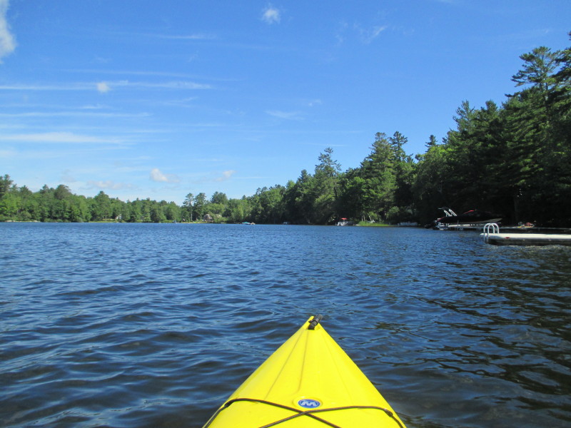
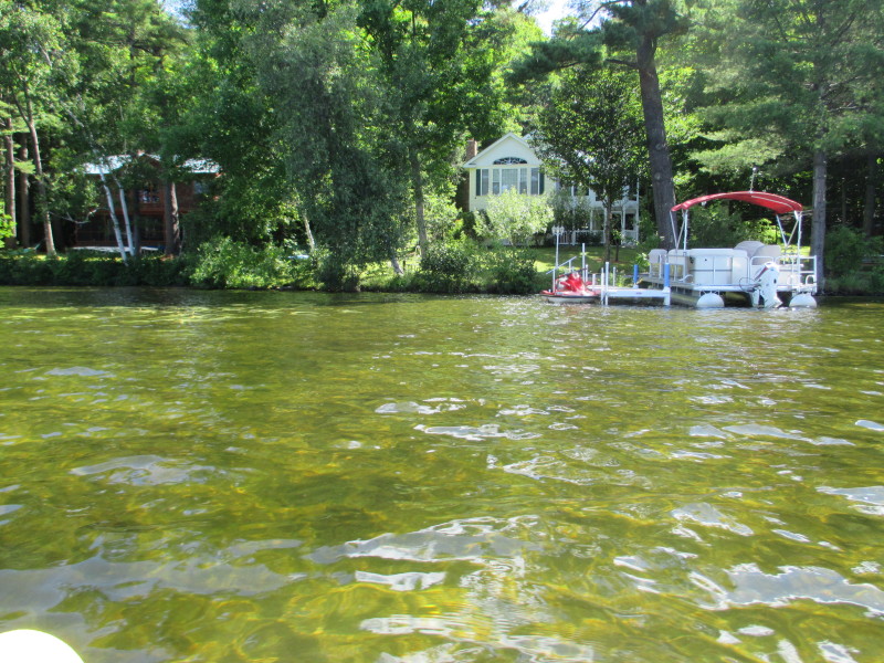 The clear waters of Crystal Lake.
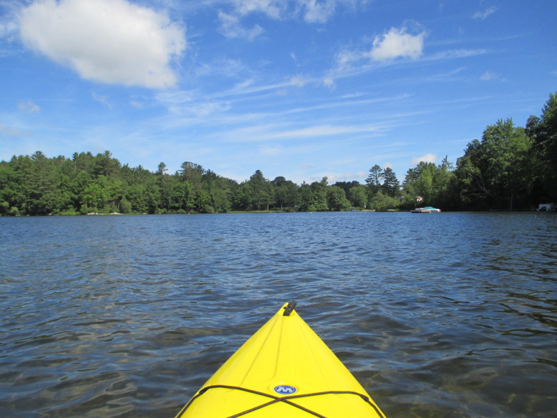 Getting closer to the northeast corner of Crystal Lake.
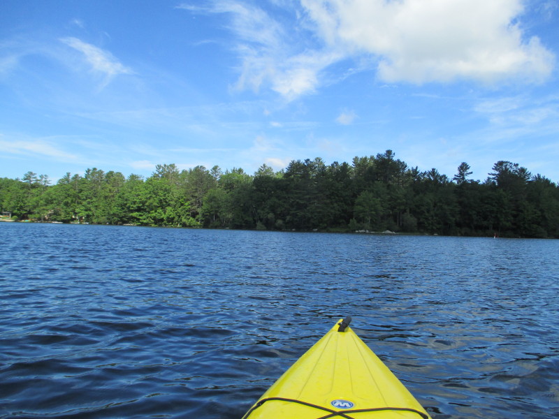
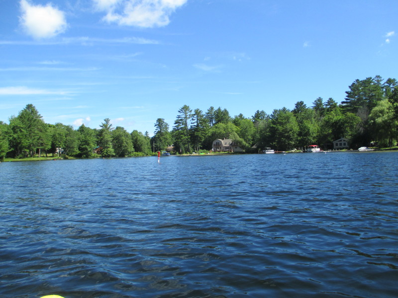 The northeast corner of Crystal Lake.
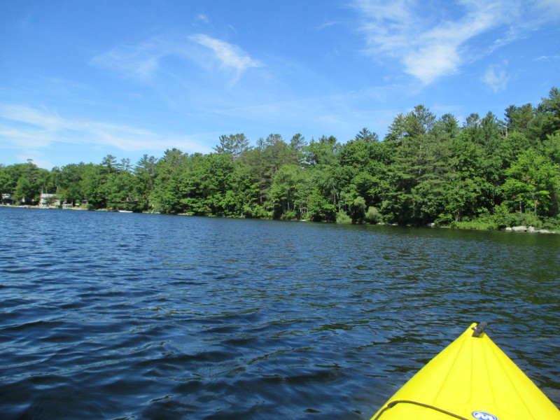 I have reached my northern-most point, pivoting to my left to get to the other side.
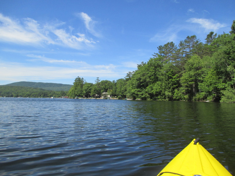 Another left pivot and I am now facing southwards.
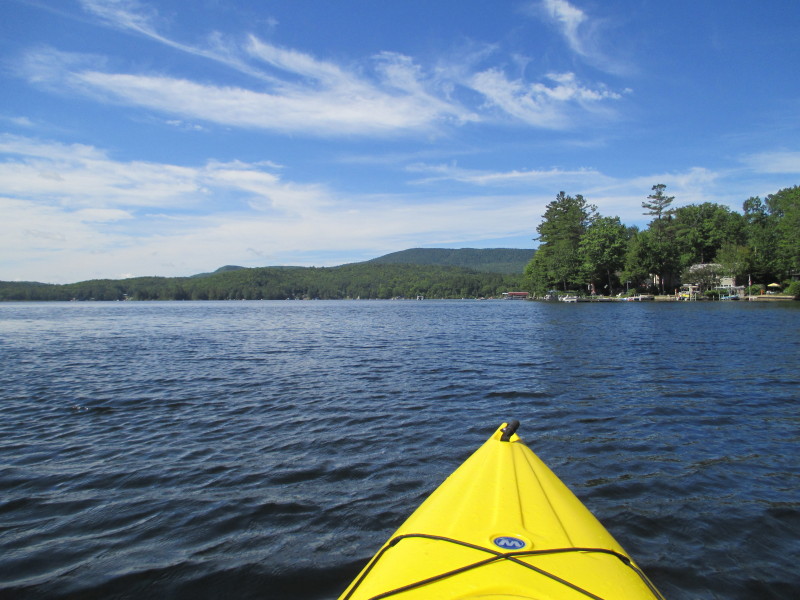
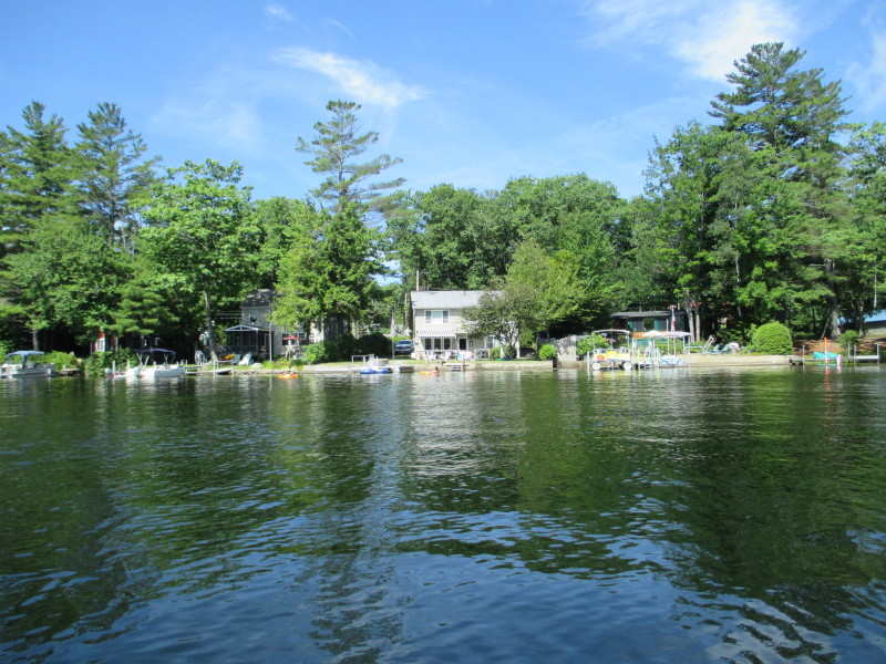
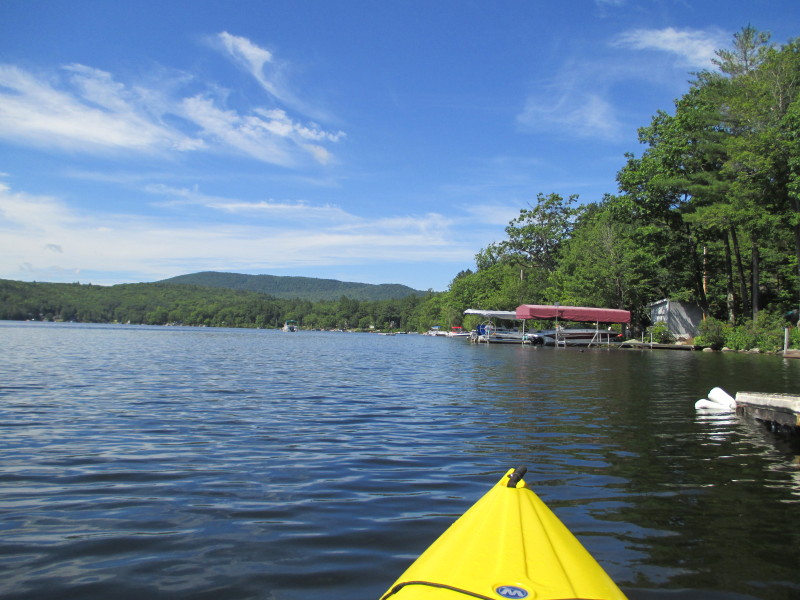 Continuing my southward paddle keeping the western shore on my right.
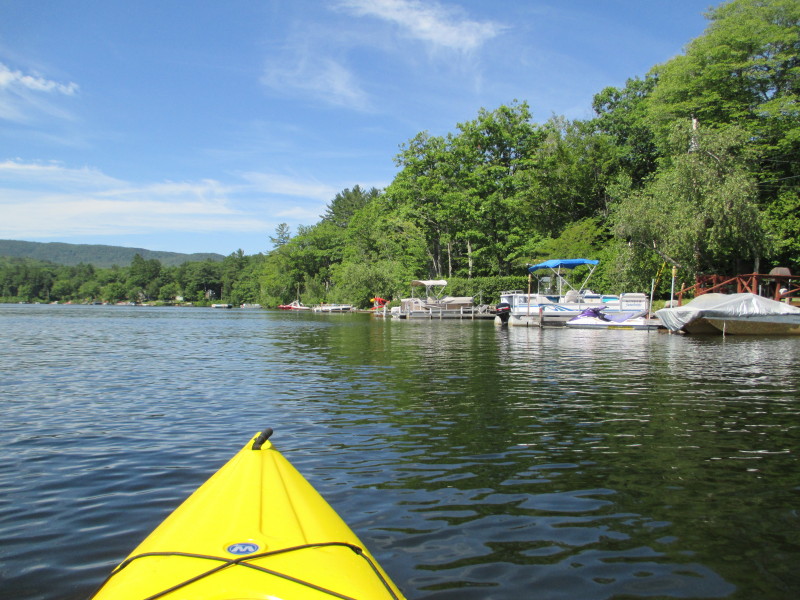
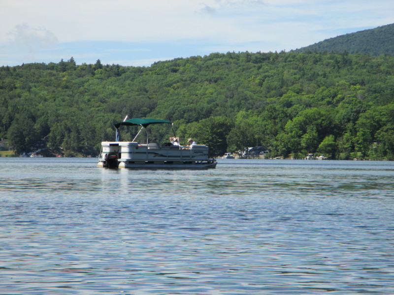
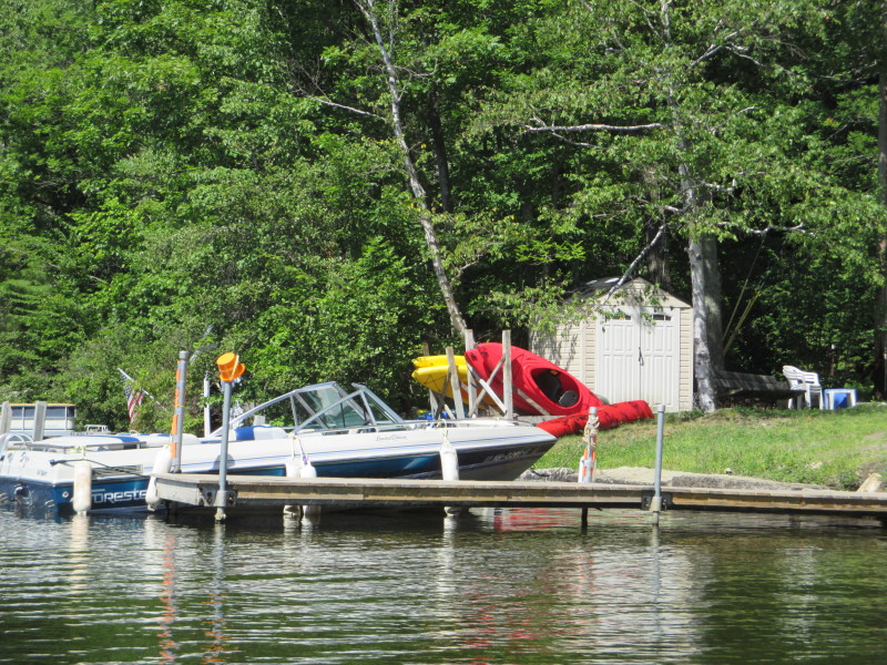
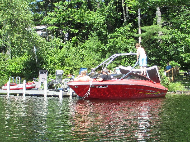
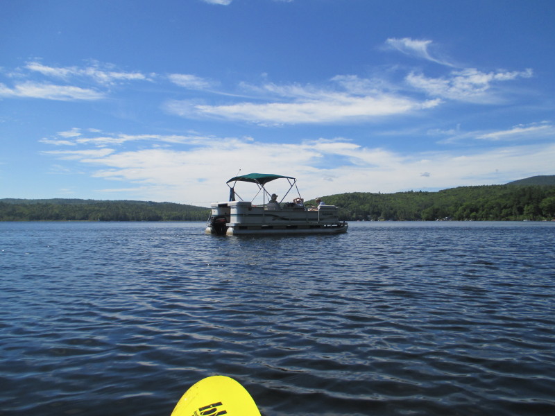
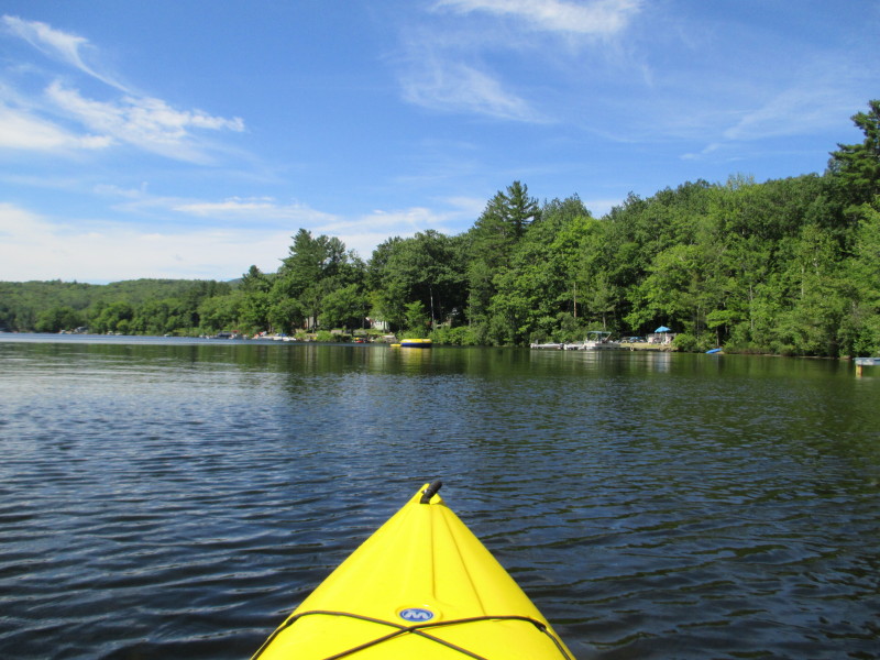
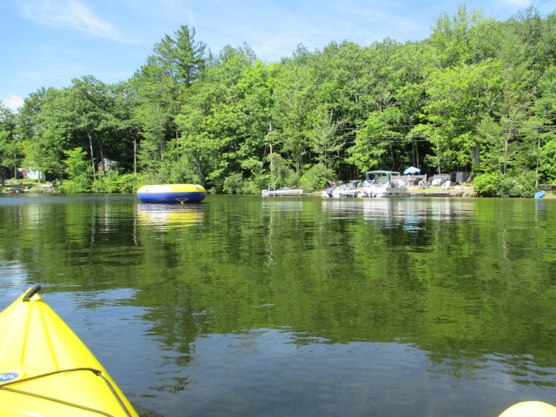
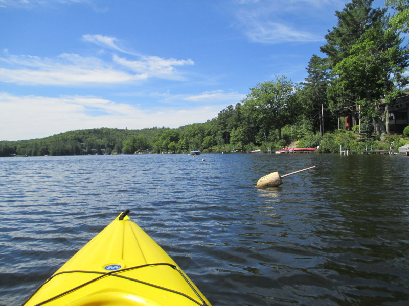
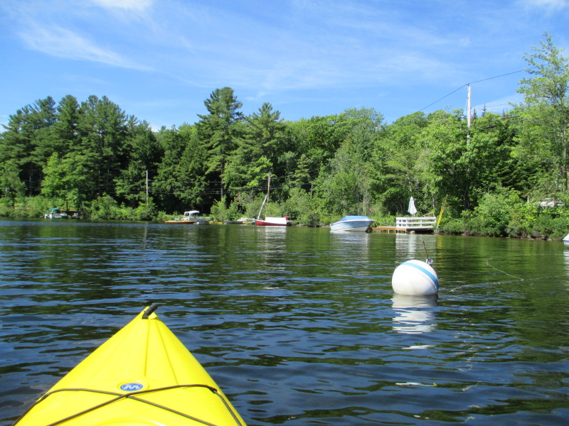
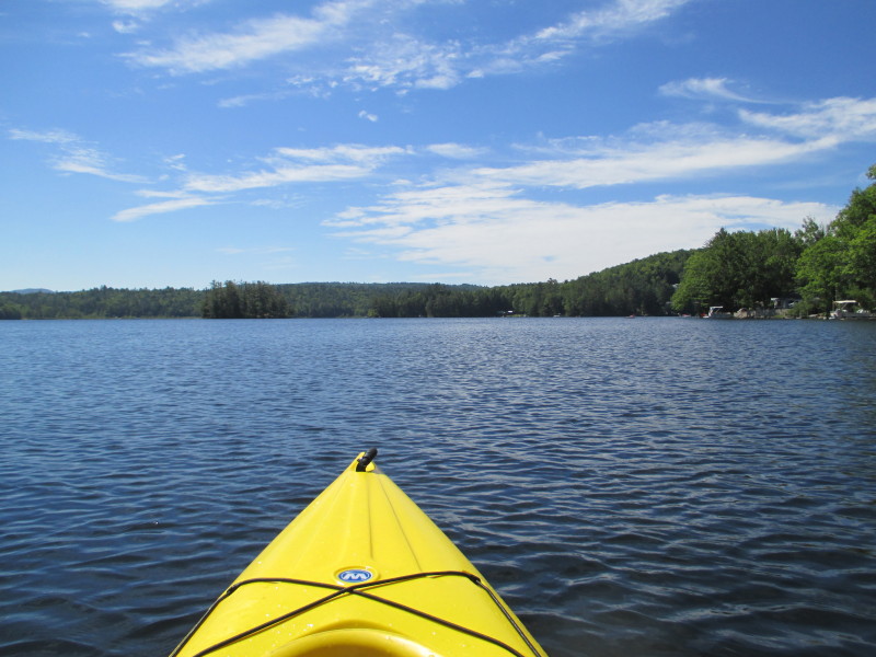 Looking at the map, the put in / take out area is hidden slightly out of sight from the north.
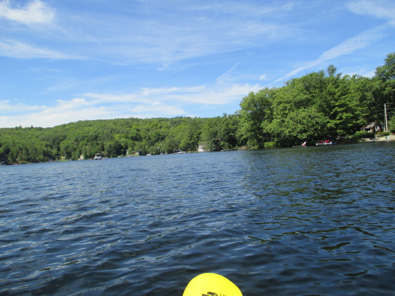
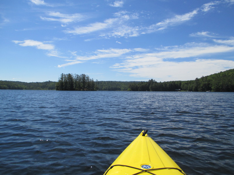
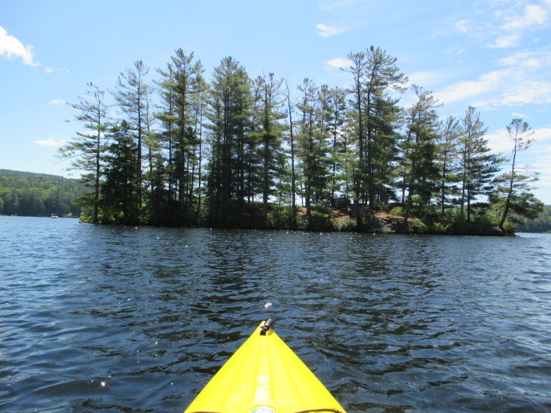 An island in the middle of Crystal Lake.
 At left is the tip of the island.
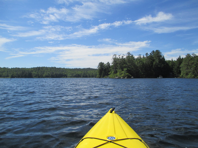 At the center of the picture is the tip of the peninsula hiding the access area.
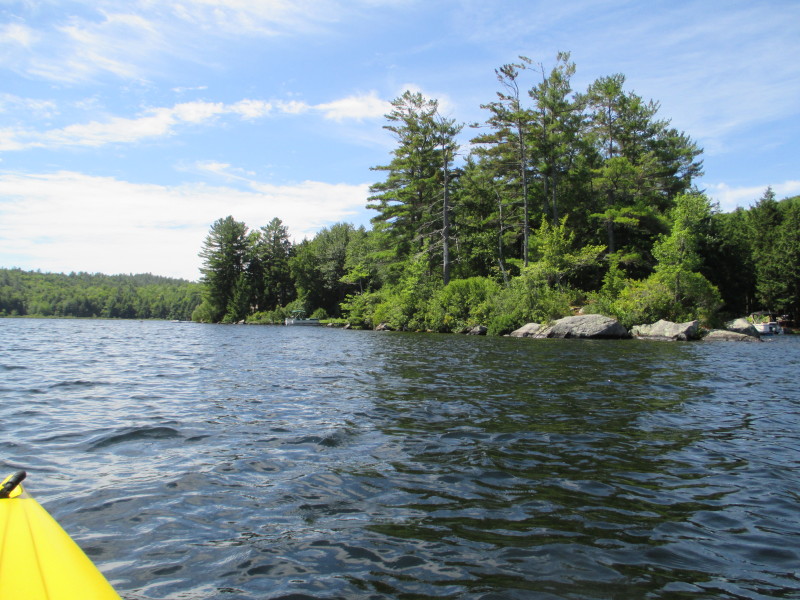
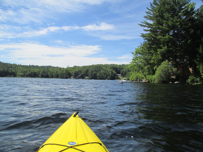 Rounding this peninsula on my right.
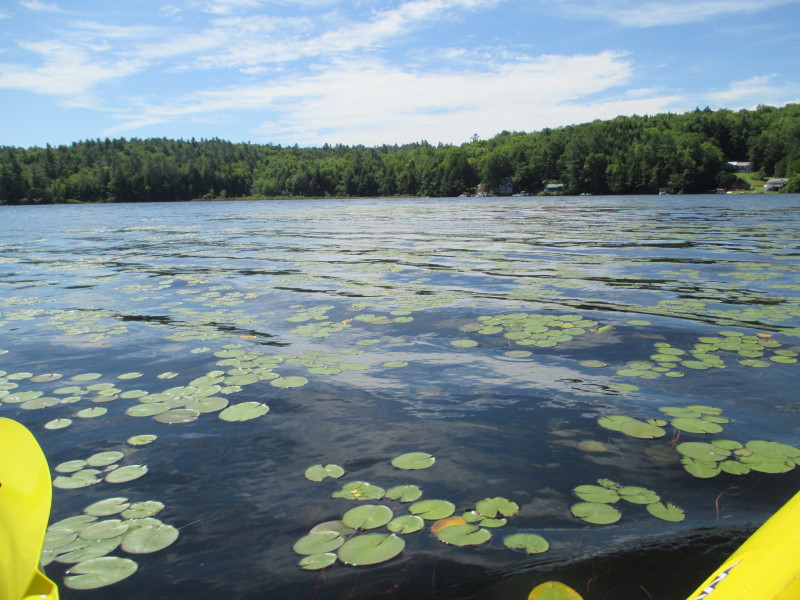
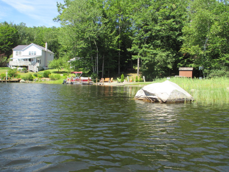 The take out now in sight.
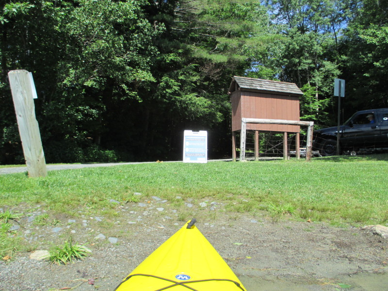 Landed. Paddle time is 1 hour 12 minutes.
|

