|
Download printer-friendly
PDF version that fits in one page: |
Other resources:
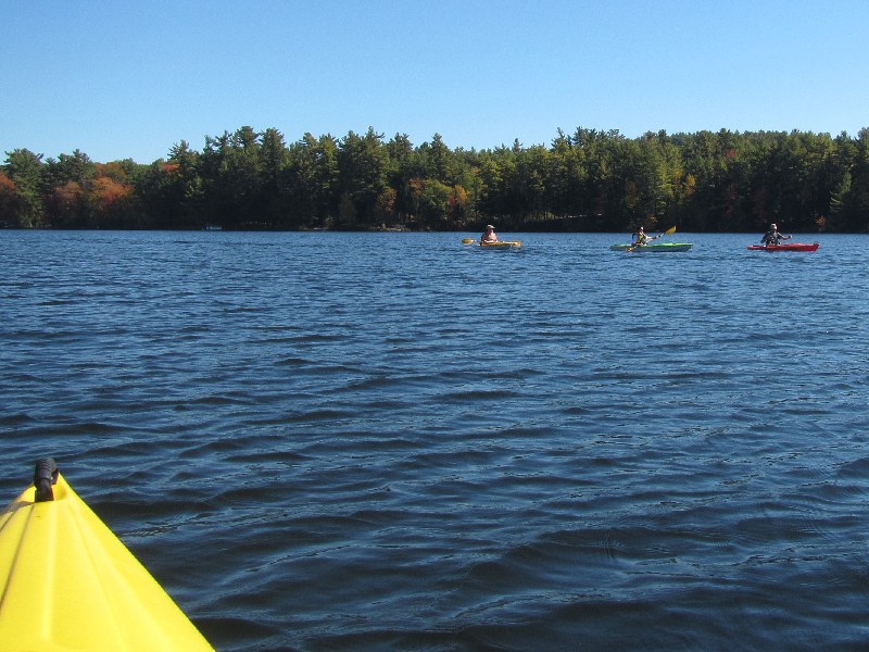
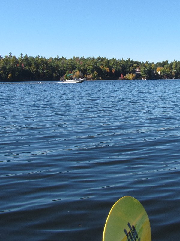
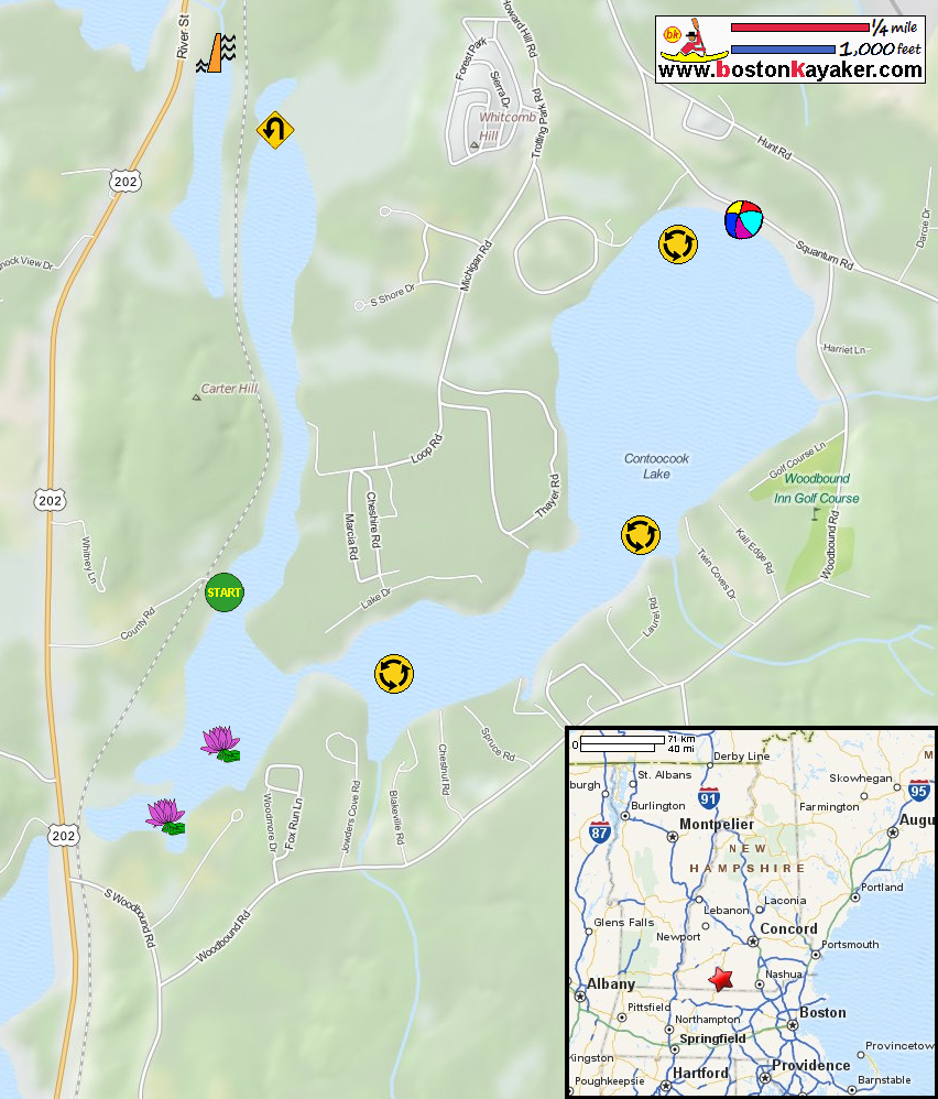
NH Govt: Contoocook Lake Bathymetry Map NH Govt: Contoocook Lake Bathymetry Map (cached copy) All photos in this website are original and copyrighted. At the end of County Road in Rindge NH. Trip date is October 2015. The launch area to Contoocook Lake in Rindge NH. The Boston Kayaker just launched onto Contoocook Lake from County Road in Rindge NH. I will go around this peninsula directly in front of me. Veered a little bit to the right. The boat trail against the vegetation background is marked by buoys on both sides. On my left, the main body of Contoocook Lake coming into view. Now paddling northwards. An island on Contoocook Lake. Continuing northwards, will paddle Contocook Lake clockwise. Three kayakers and a pontoon boat on Contoocook River. Just entered the wide top end of Contoocook Lake. Will keep close to the coast on my left. More islands on Contoocook Lake. I am now at the top end corner of Contocook Lake. Veering to my right to continue towards the sandy beach area. A couple on a canoe on Contoocook Lake. The public beach on Contoocook Lake off Squantum Road. Continuing eastwards. Looking to my right southwards, the rest of Contoocook Lake viewed from the north end. Now rounding the northeast corner. Veering to my right, now facing southwards. A private beach on Contoocook Lake. Now approaching the south end of Contoocook Lake. Need to go around this peninsula on my right to the take-out/launch area. I can see the sandy beach takeout. Looking at my left, the south end of Contoocook Lake filled with aquatic vegetation. Landing soon. Total time on Contoocook Lake is 1 hour 14 minutes. |