Other resources:
Number of original photos on this page : 100
All photos in this website are original and copyrighted.
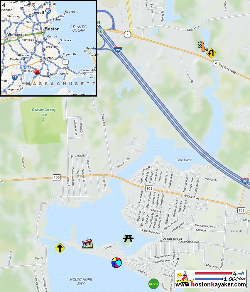
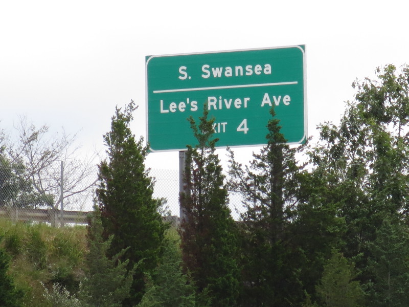
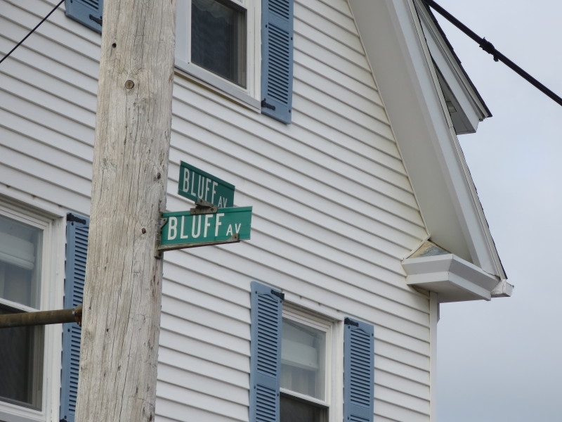 At the end of Bluff Avenue in Swansea MA.x
Trip date is August 2015.
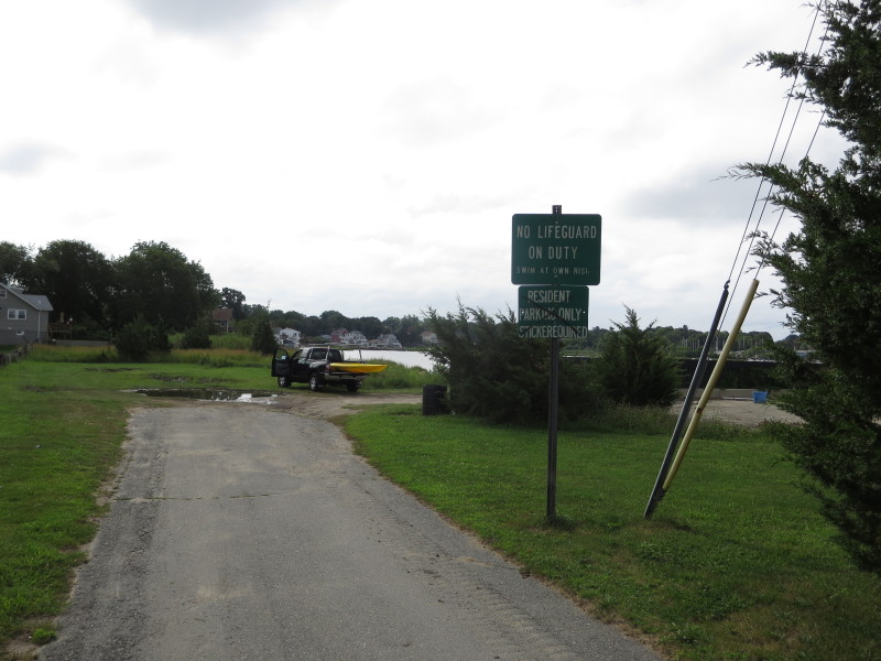 The launch area for hand-carried boats on Mount Hope Bay.
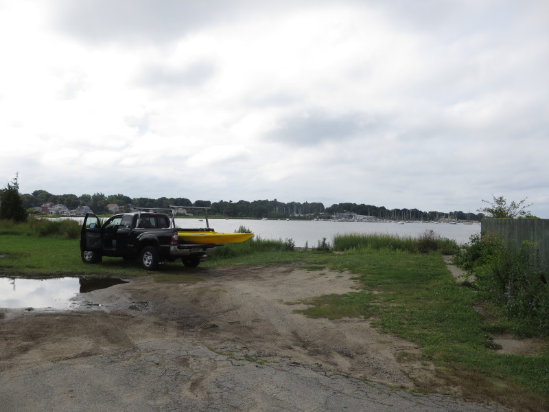
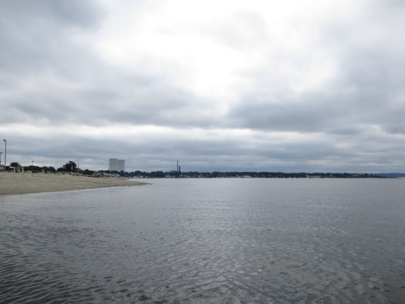
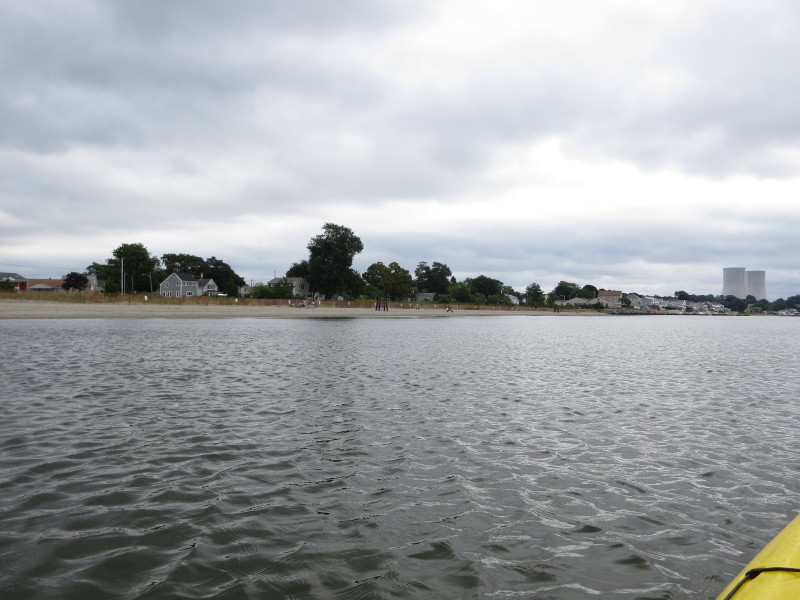
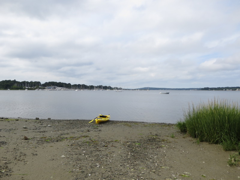 On the shores of Mount Hope Bay.
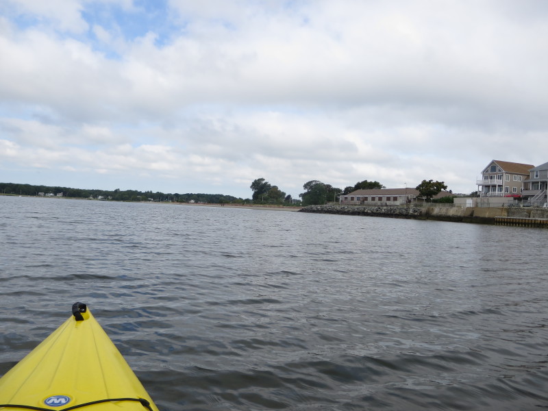
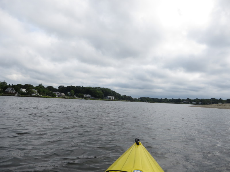
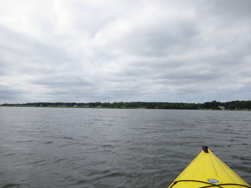
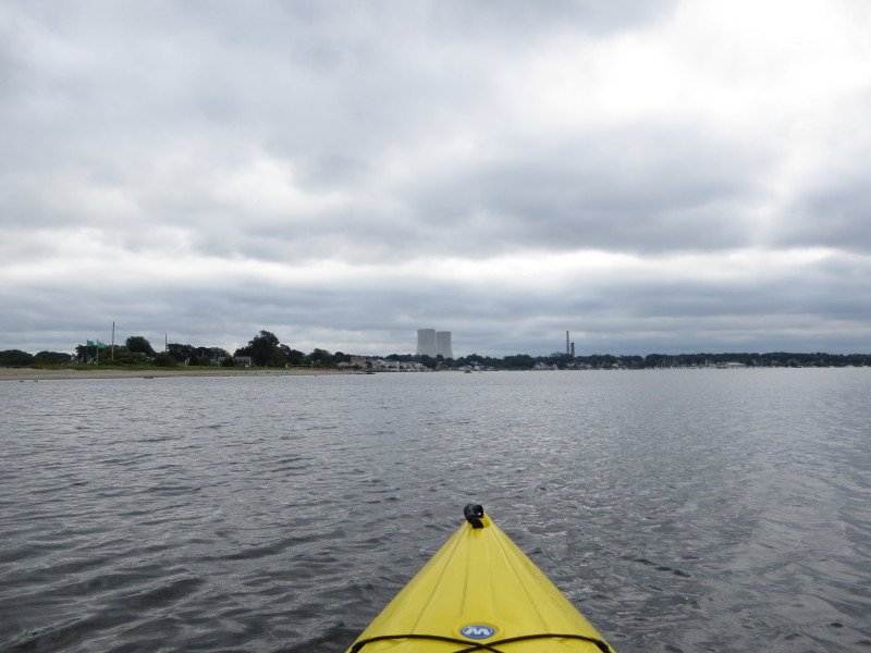
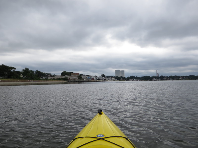
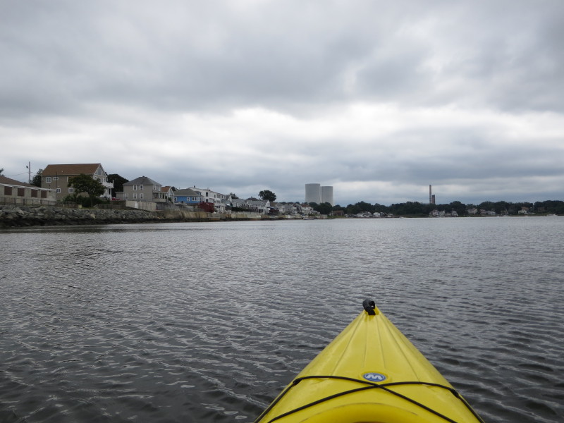
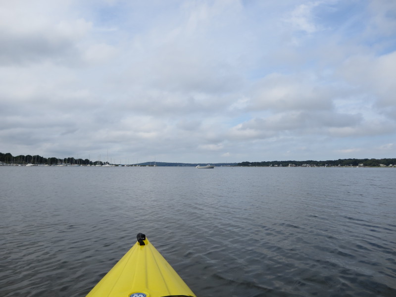 The Boston Kayaker just launched on Mount Hope Bay enroute to Cole River.
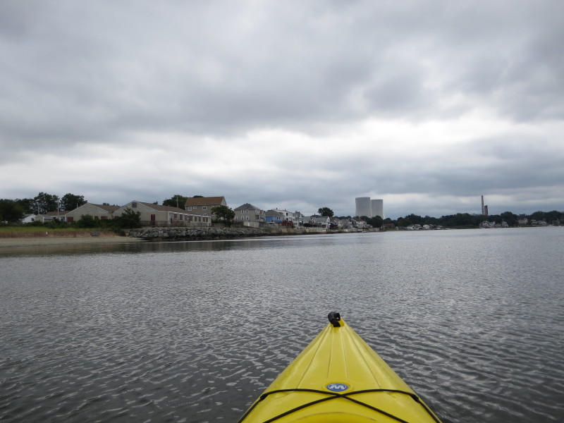
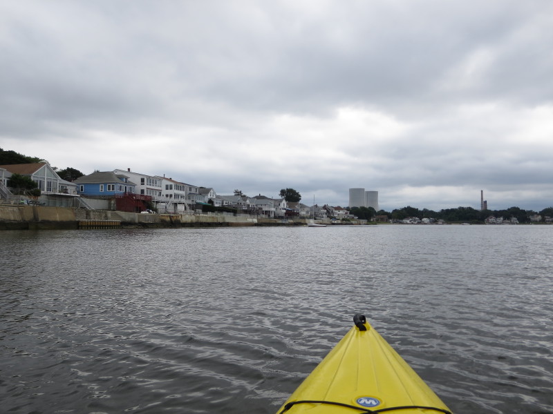
 I veered to my right westward to Cole River.
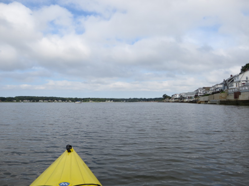
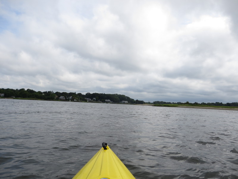
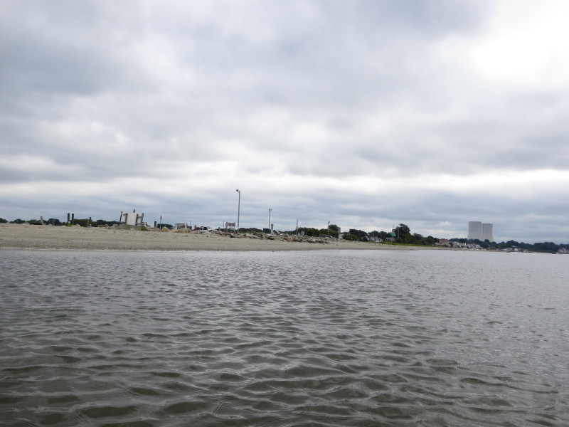
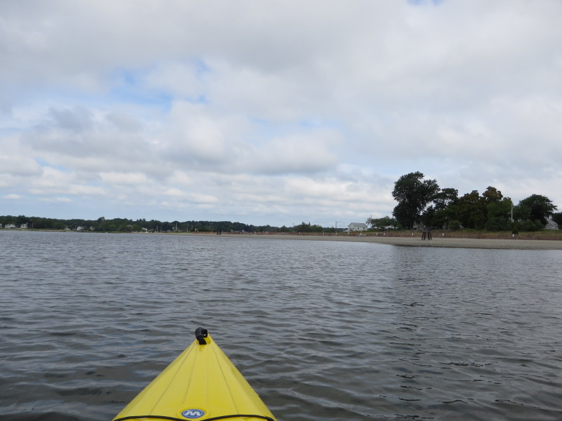 The Swansea town beach, currently empty.
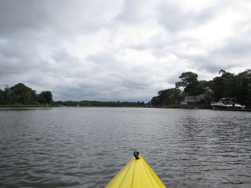
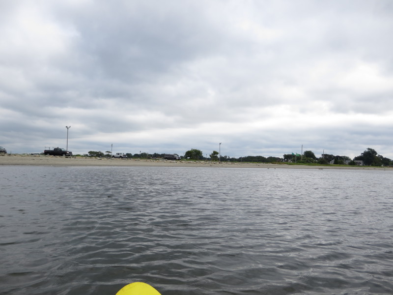
 At my right is the boat ramp parking area.
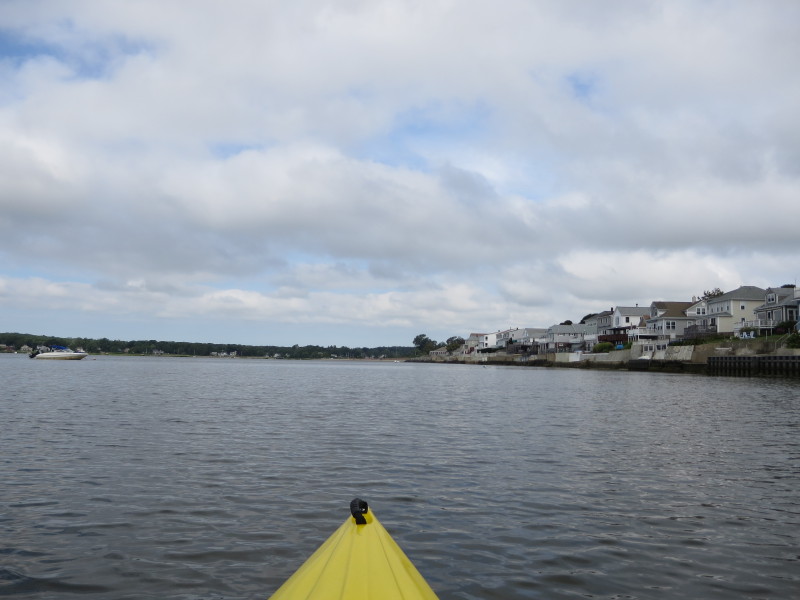
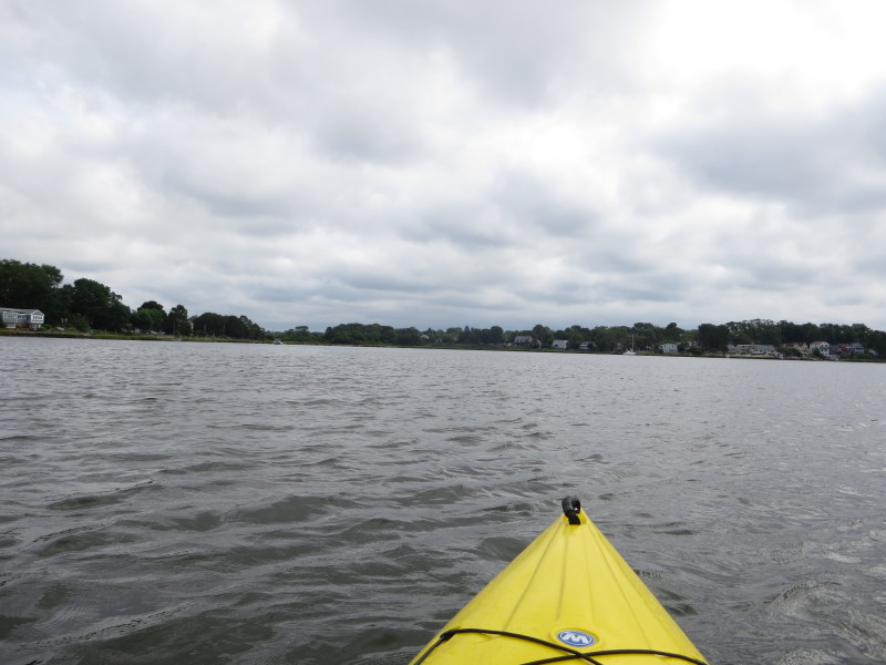
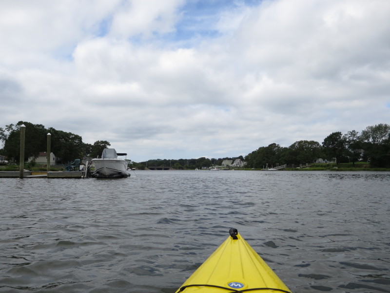
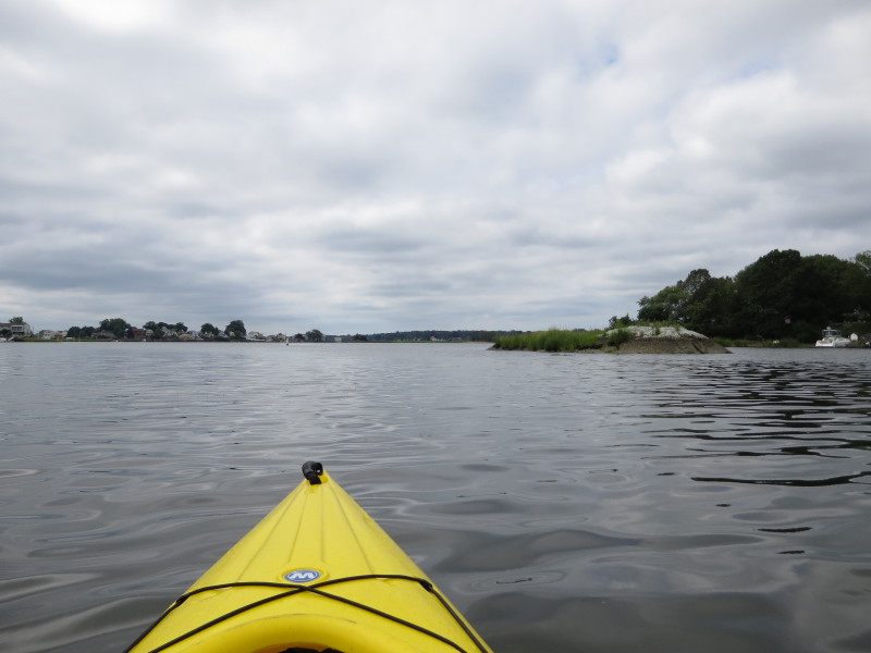
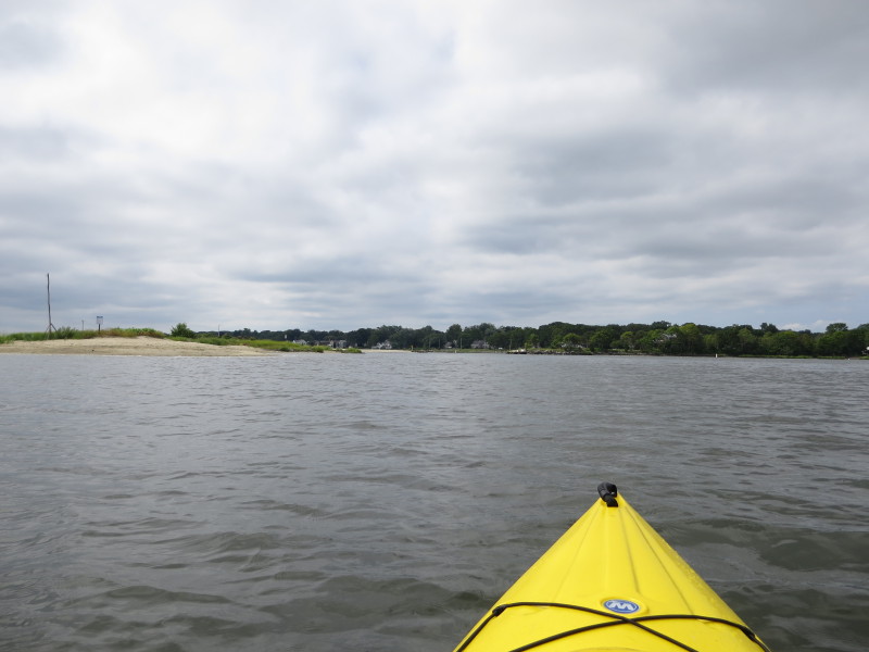
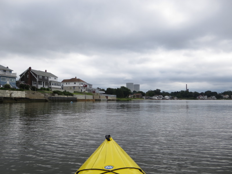
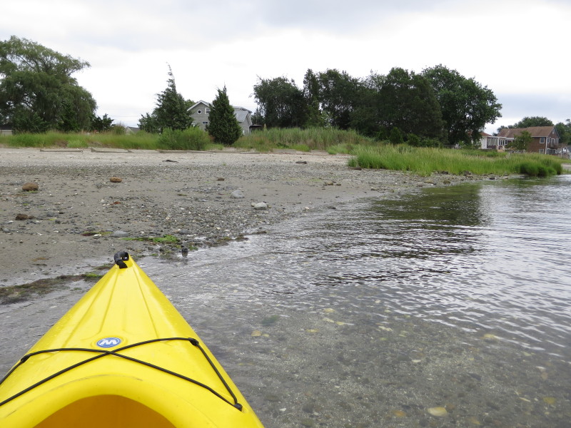
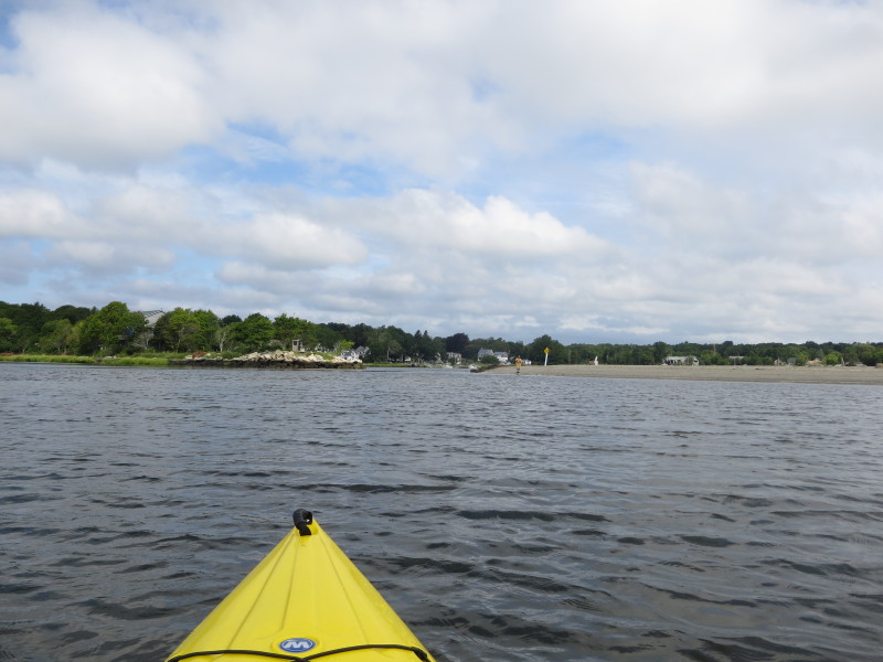 Approaching the channel entrance to Cole River.
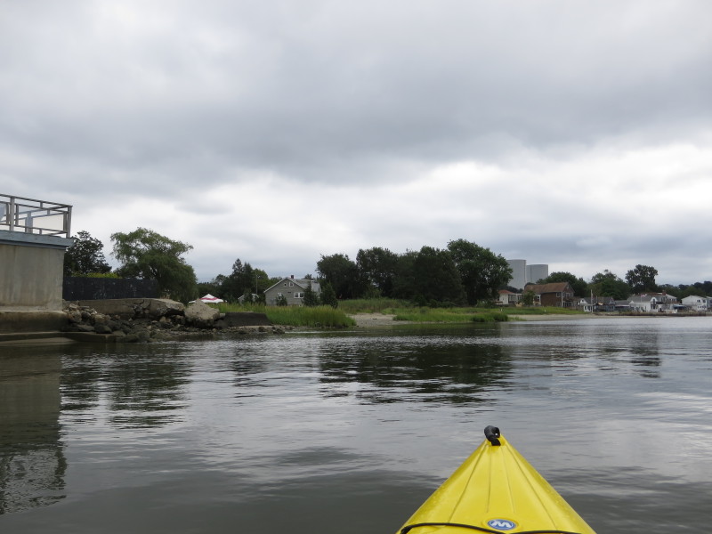
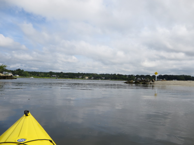 At the mouth of Cole River, will paddle into the channel and up Cole River.
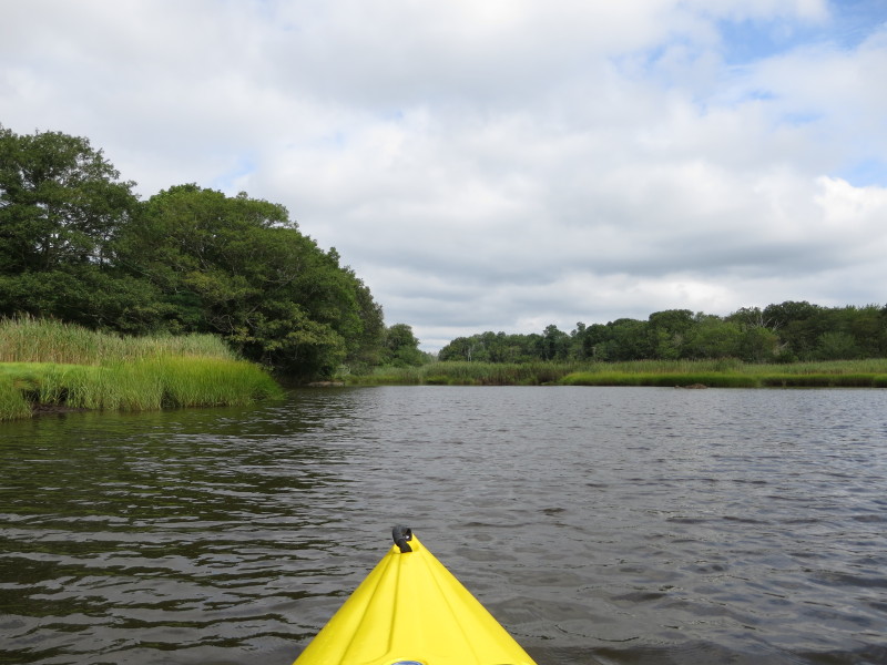
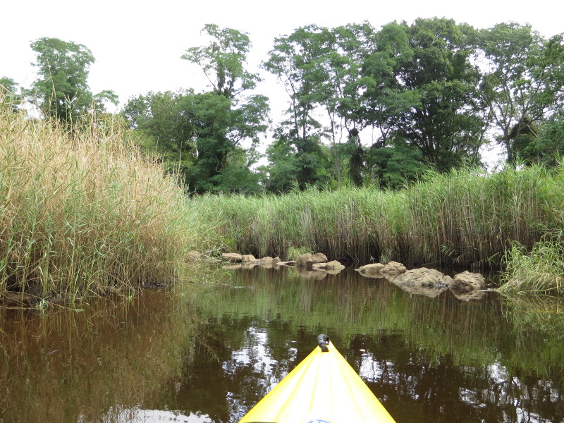
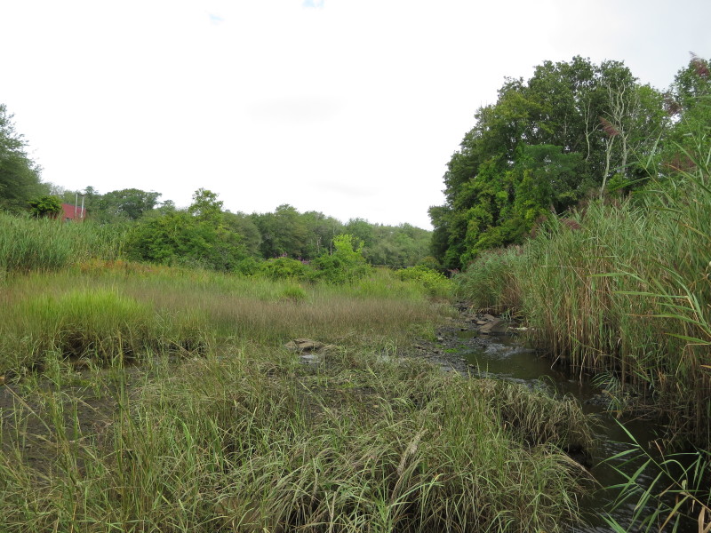
 This channel is narrow and shallow.
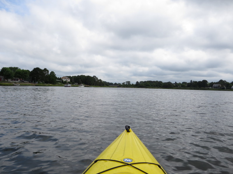
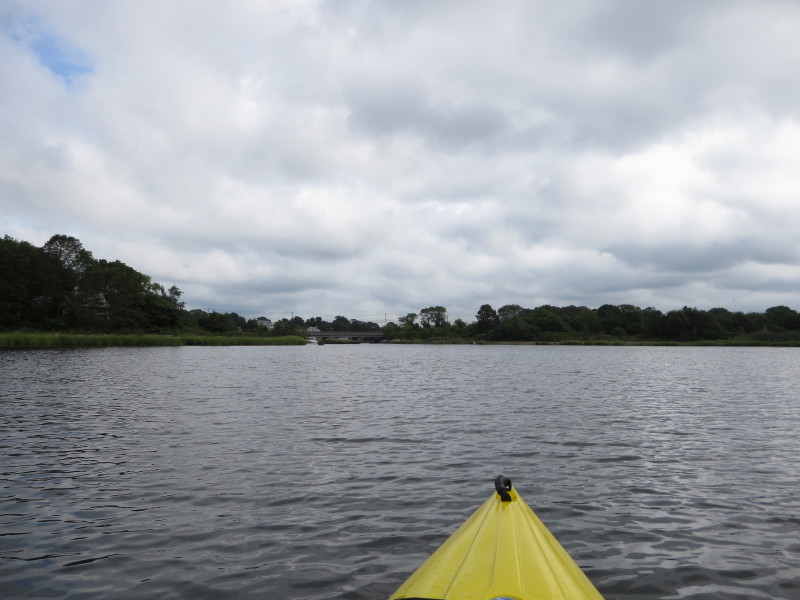
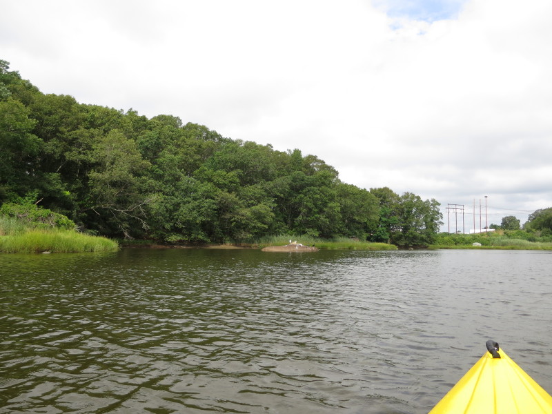
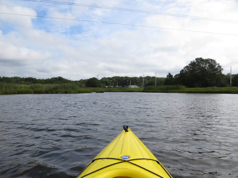
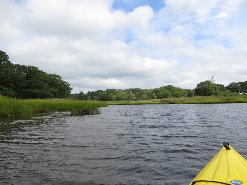
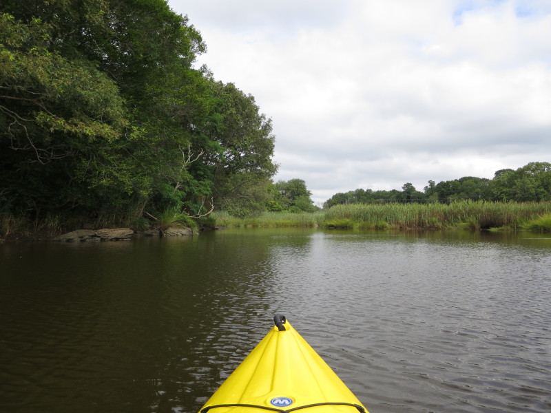
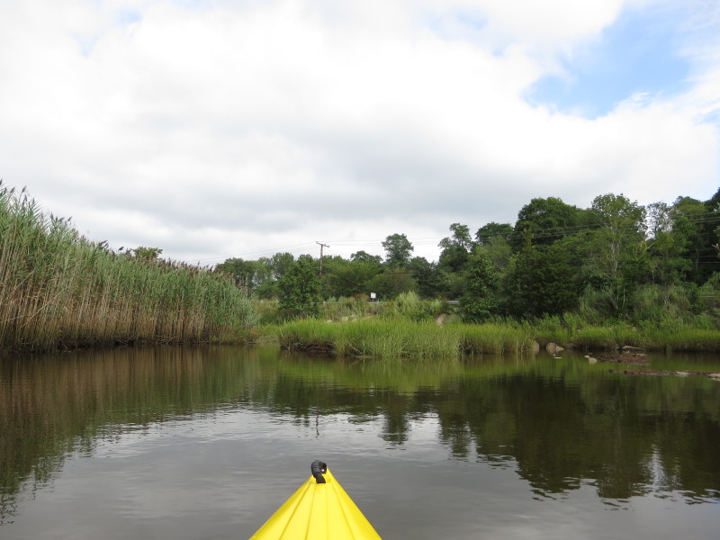
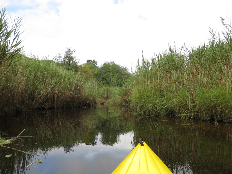
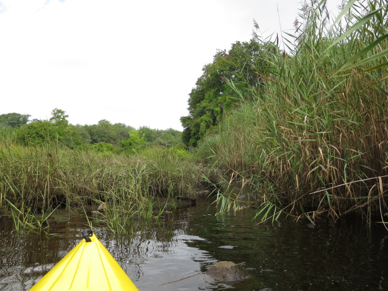
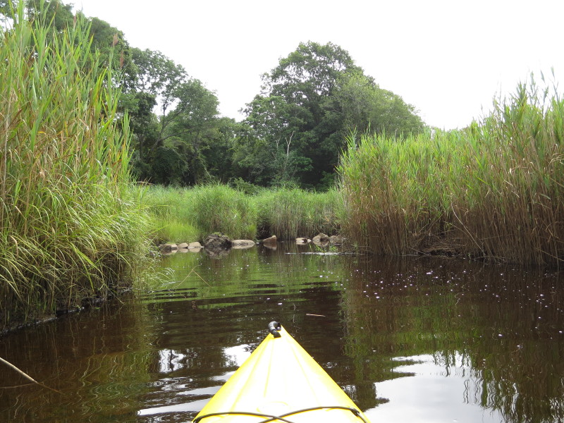
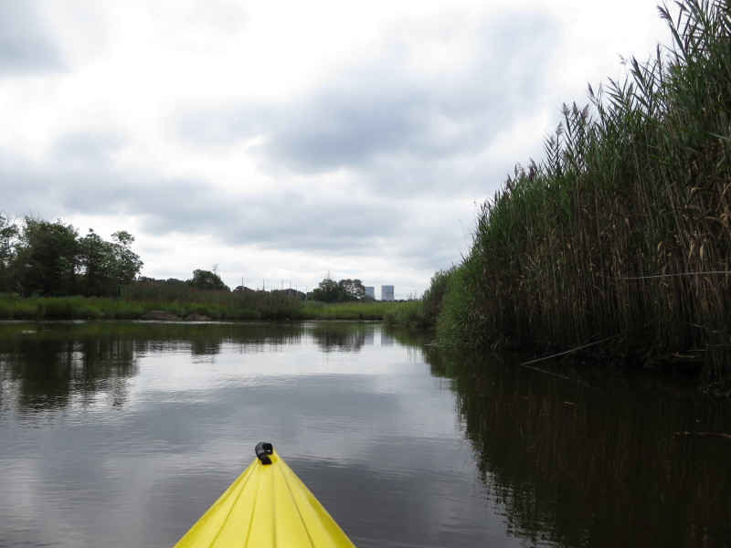
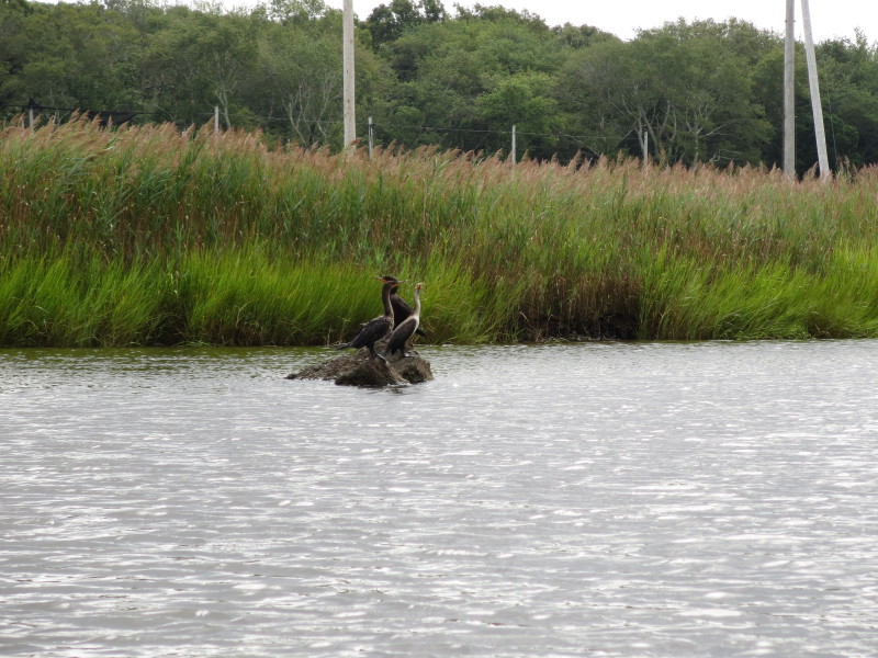
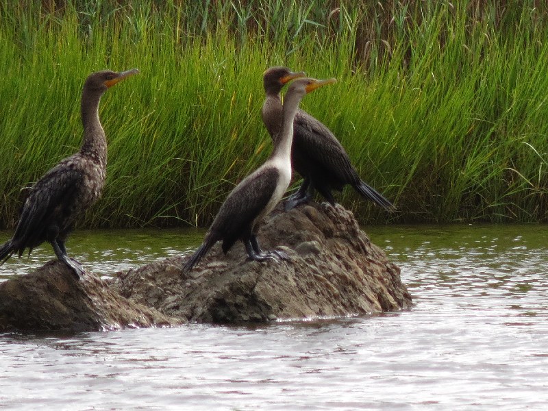
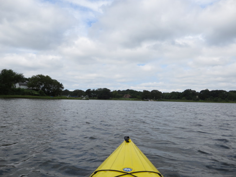
 On Cole River.
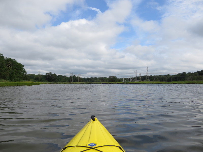
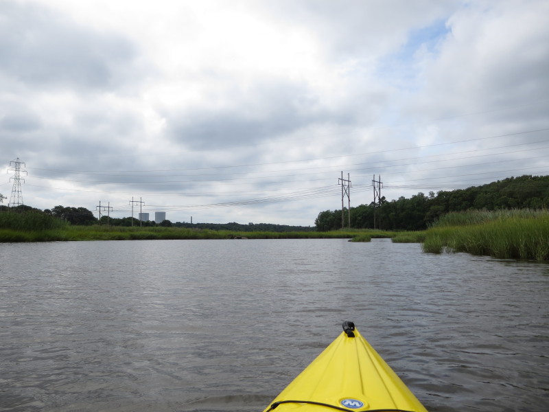
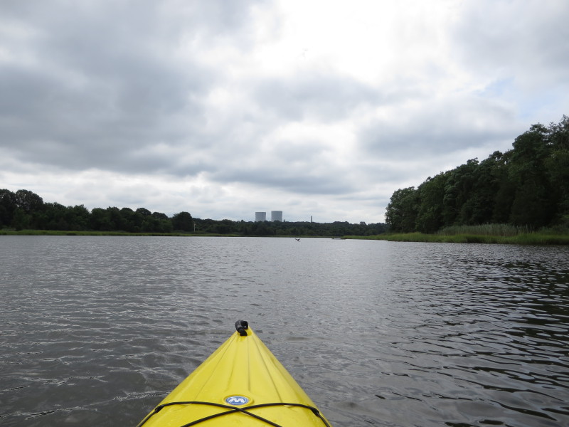
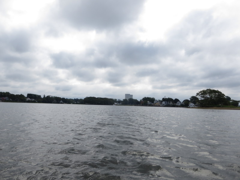 Looking to my right (east), the towering nuclear plant encasings (sarcophagus).
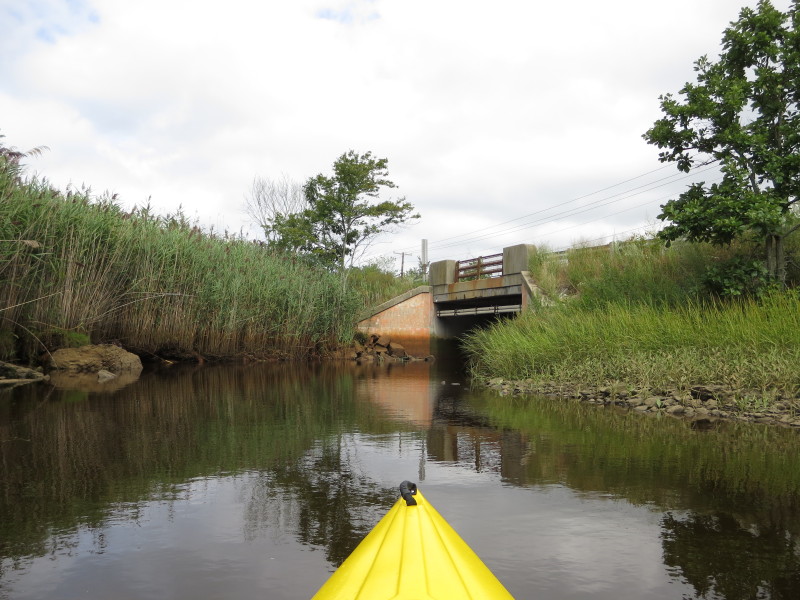
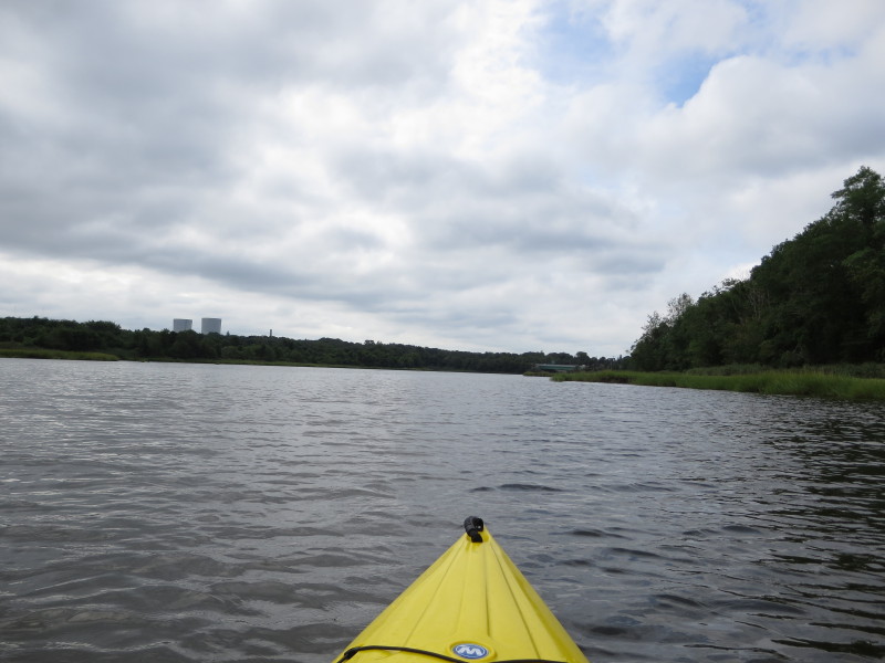
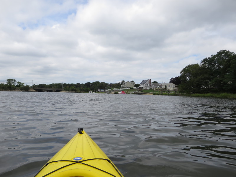
 Paddling towards the Route 103 bridge.
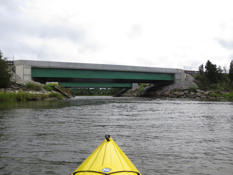
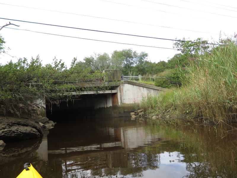
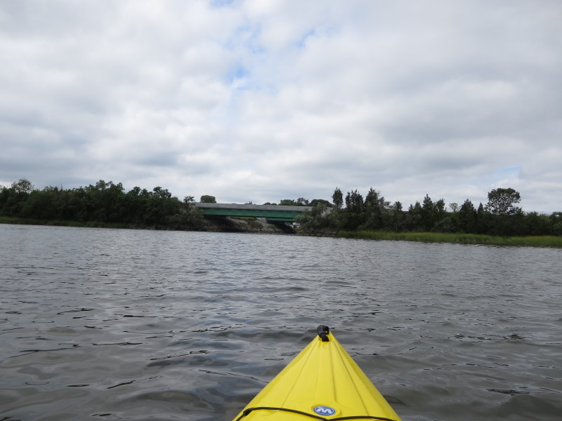
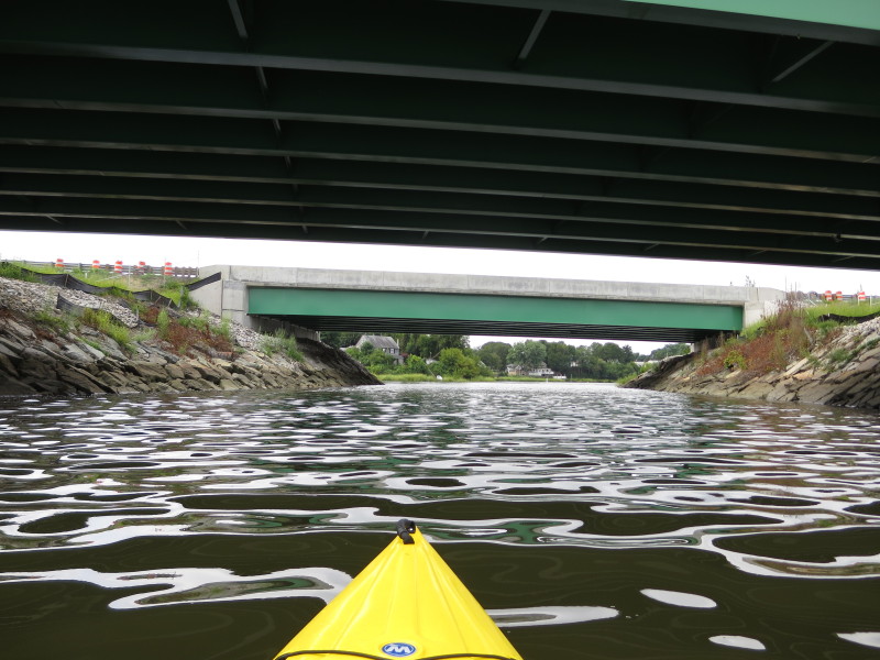
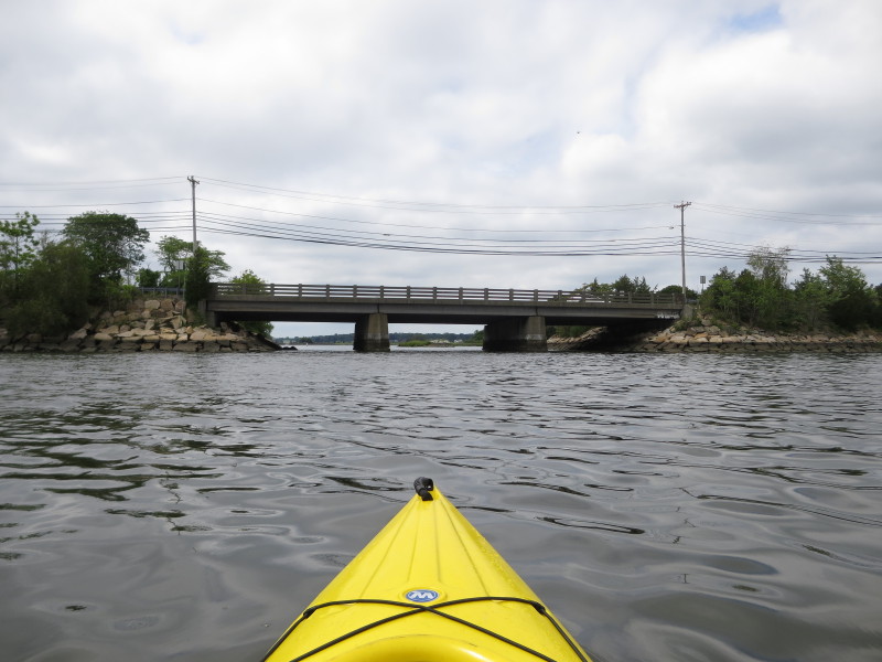
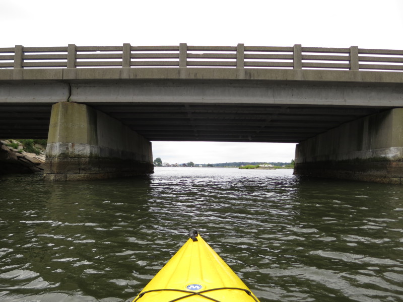
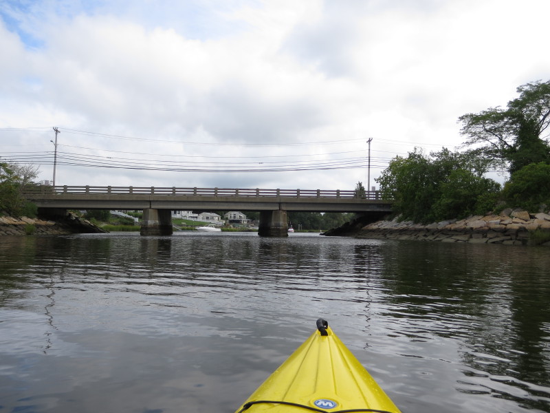 Route 103 bridge over the Cole River.
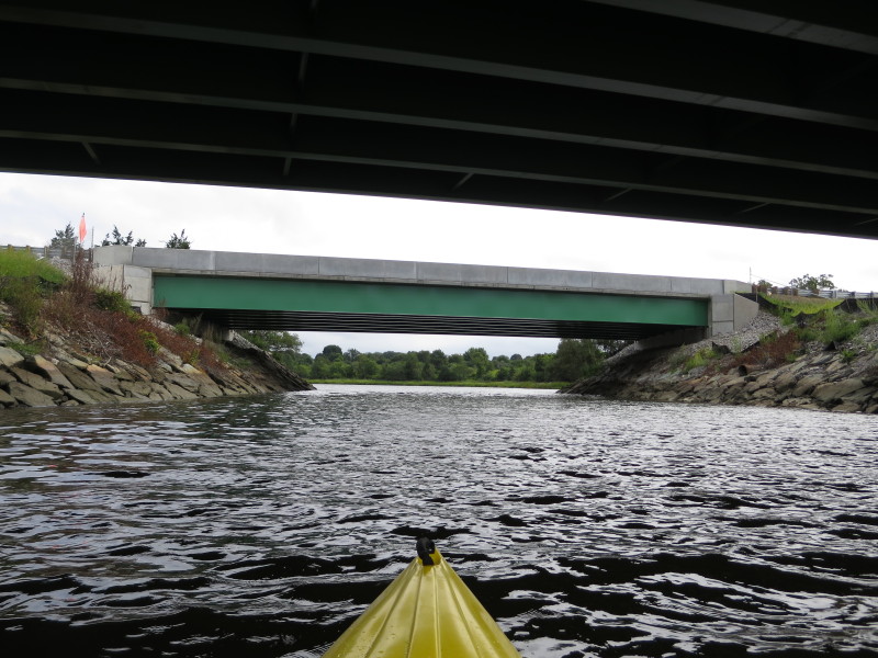
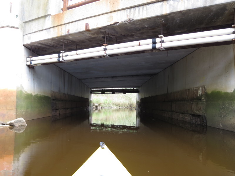
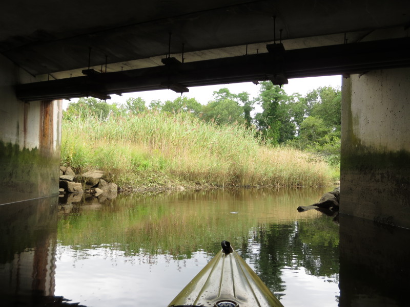
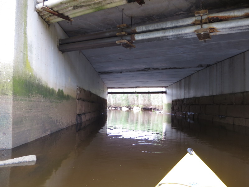
 Passing under Route 103 bridge.
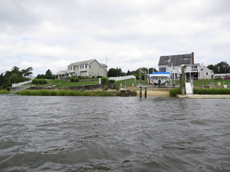
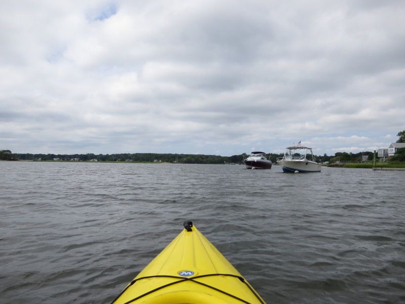
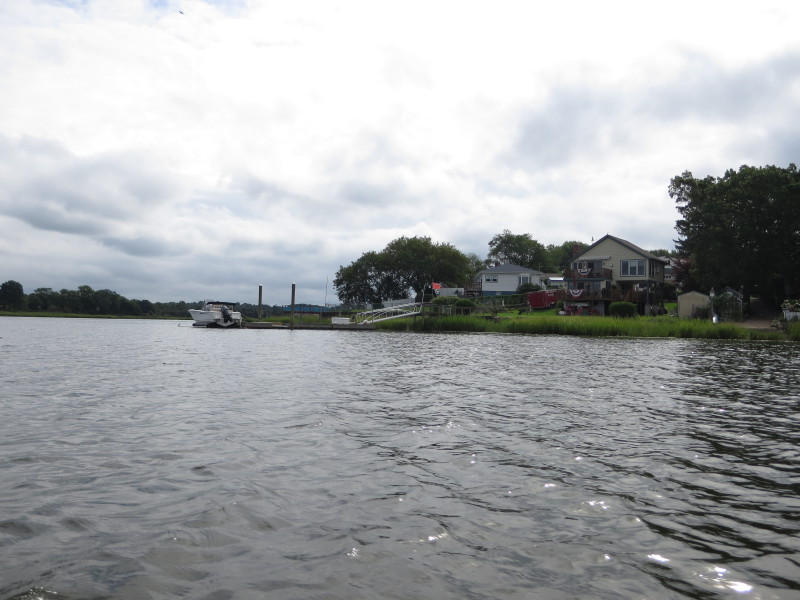 I will veer to the right past this boat.
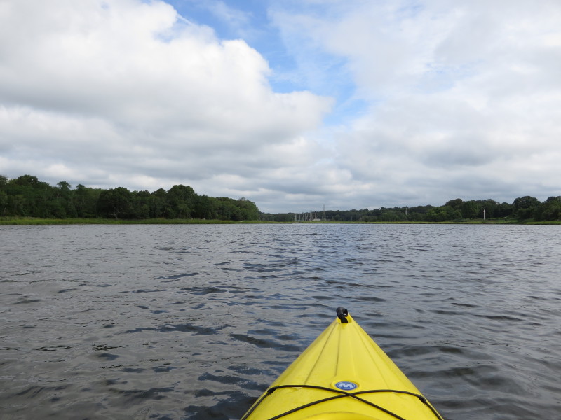
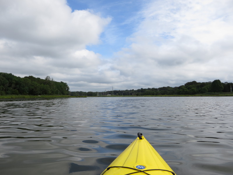
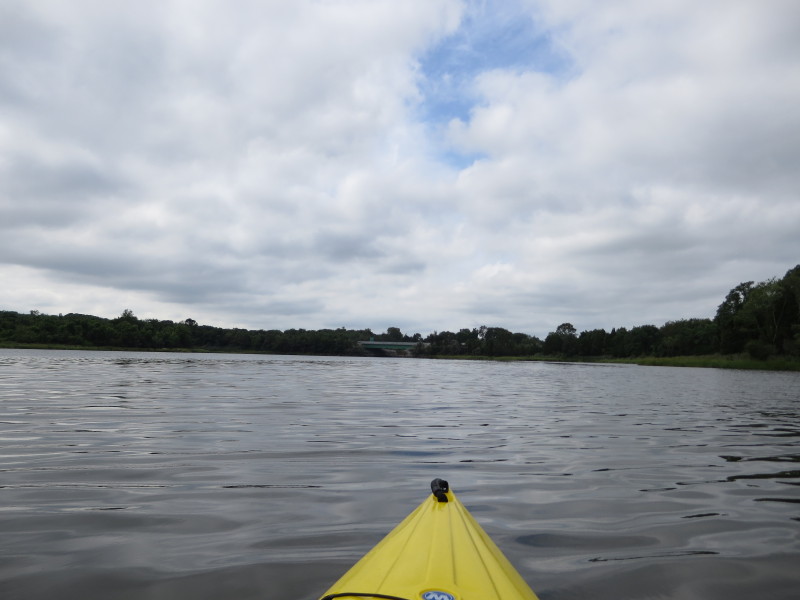
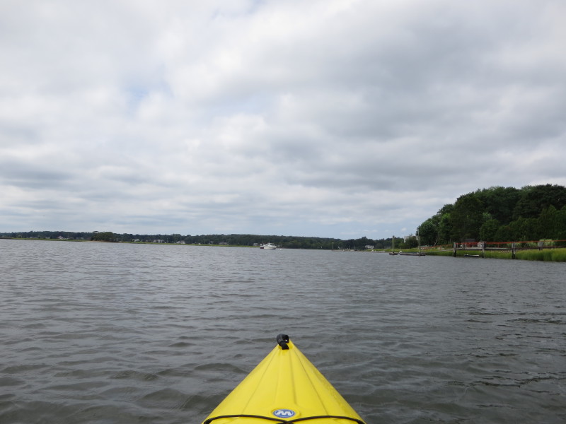
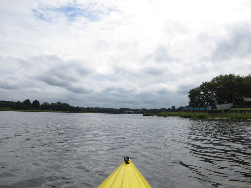 I can see the I-195 bridge.
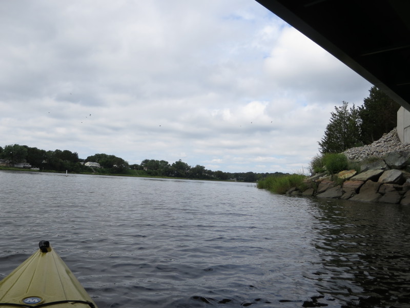
 Under the south-bound I-195 bridge.
In front is the north-bount I-195 bridge.
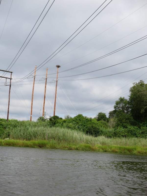
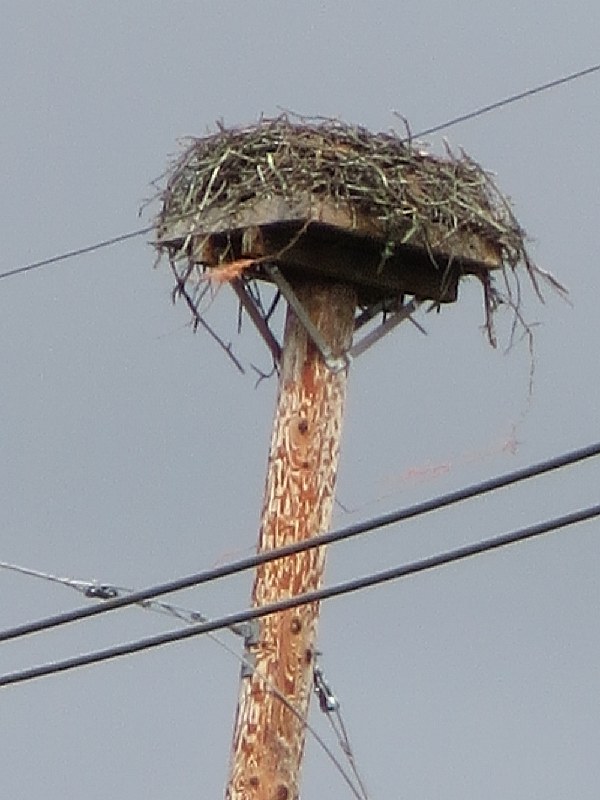
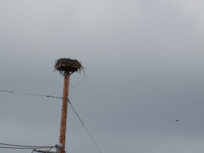
An osprey's nest.
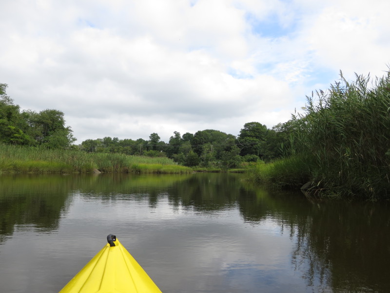
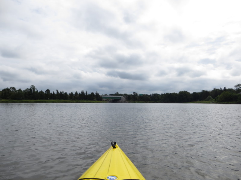
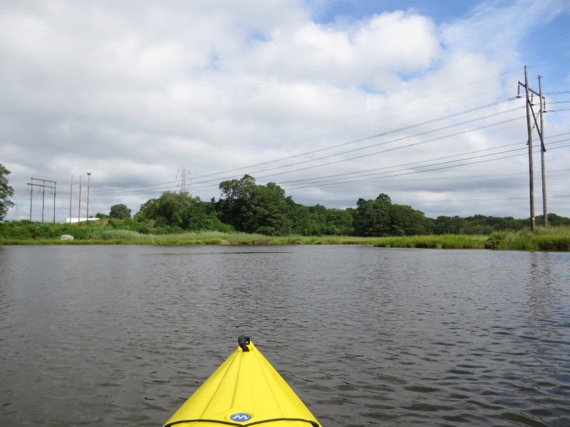
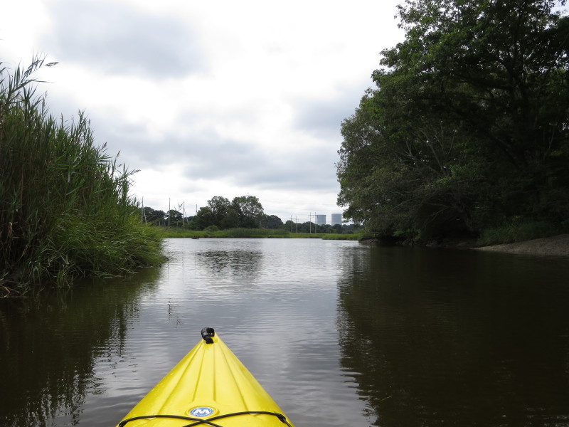
 The Cole River narrows and very shallow here near Route 6.
 Under the Route 6 bridge on the Cole River.
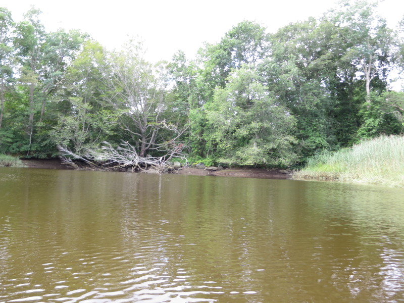
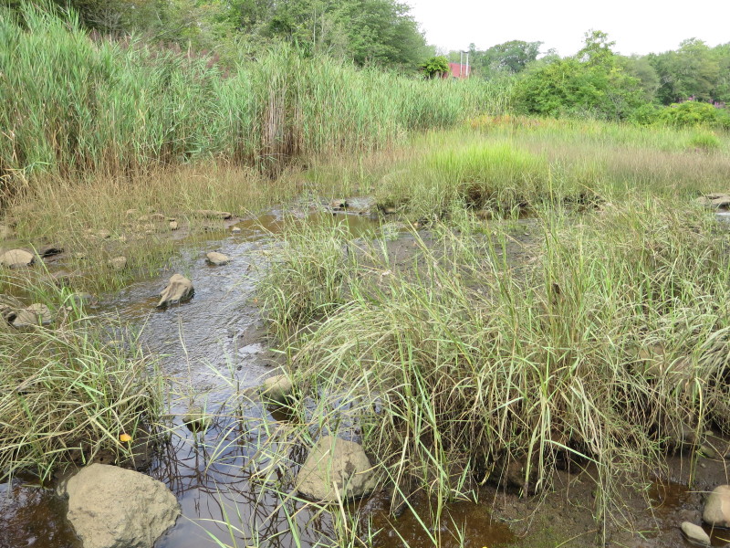 Just about 30+ feet from the Route 6 bridge is the headwaters
of Cole River.
Just about 30+ feet from the Route 6 bridge is the headwaters
of Cole River.
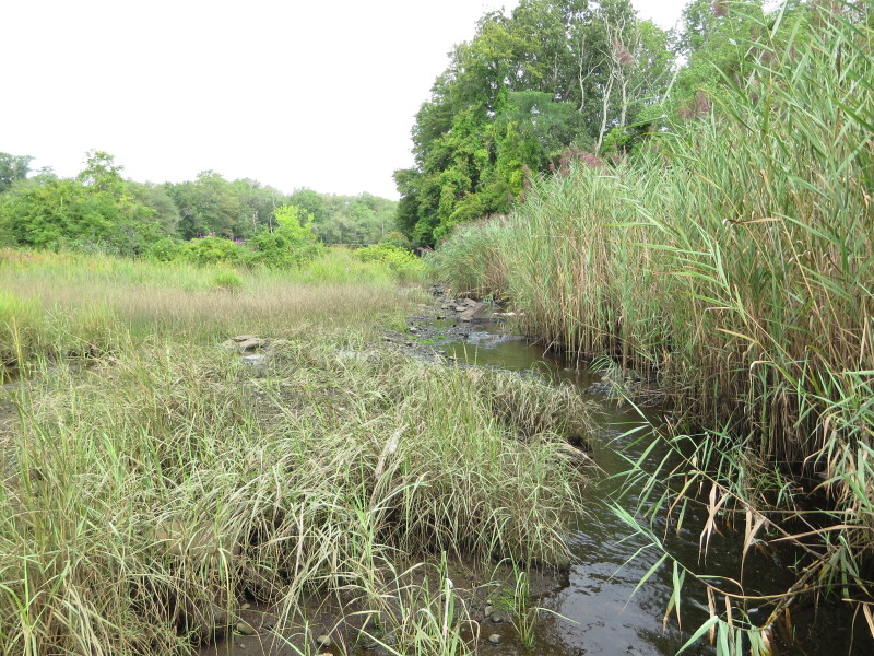
 I took this picture while standing on my landed kayak and I can see the Montaup #3 dam
although not very obvious in this picture.
I took this picture while standing on my landed kayak and I can see the Montaup #3 dam
although not very obvious in this picture.
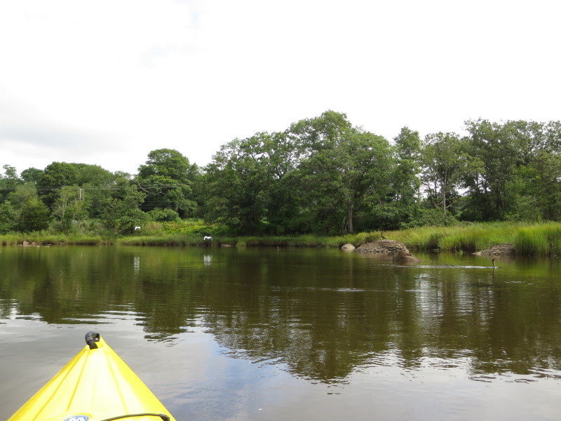
 Just turned around and now heading downstream from the headwaters of Cole River.
 Passing under the Route 6 bridge on my way south back to where I started.
 I can see now the I-195 bridges.
 Passing under the I-195 bridges.
 Route 3 bridge.
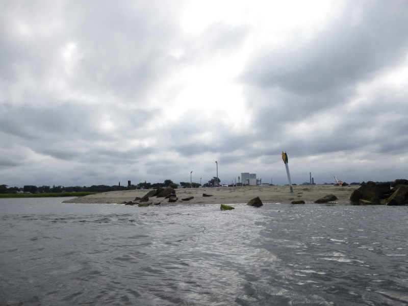
 The Swansea boat ramp. This ramp has a lot of sign saying authorized vehicles only,
permit-required, etc.
The Swansea boat ramp. This ramp has a lot of sign saying authorized vehicles only,
permit-required, etc.
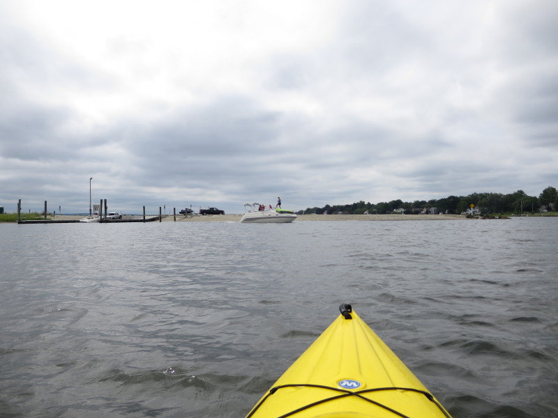
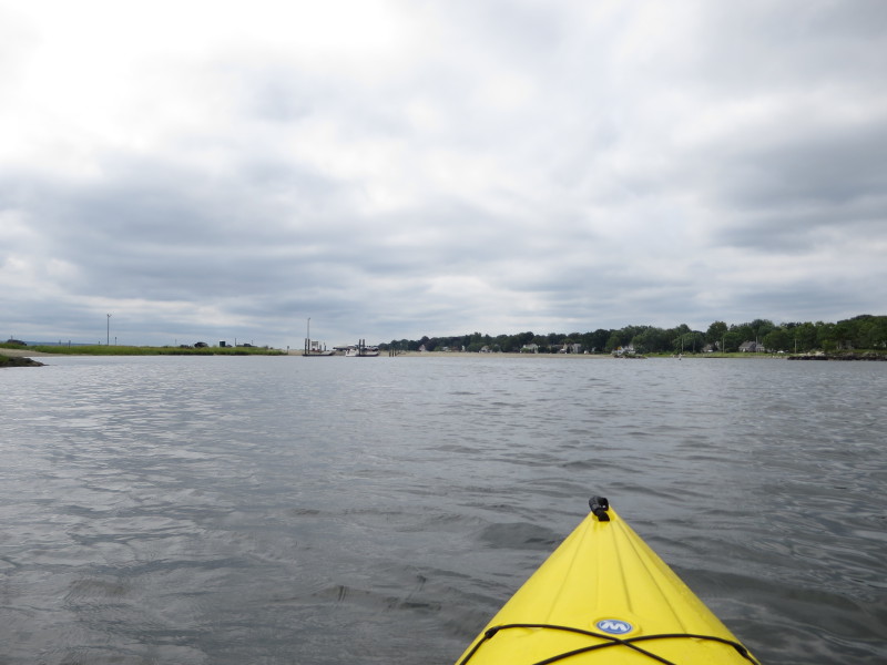
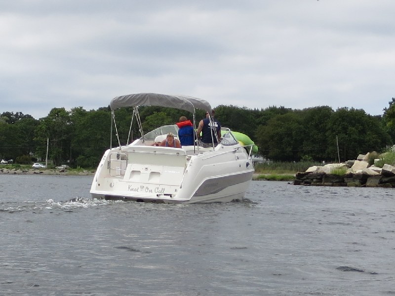 This just launched boat going out of the Cole River channel and into Mount Hope Bay.
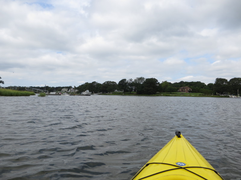
 Passing thru the Cole River channel.
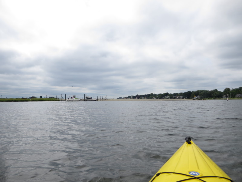
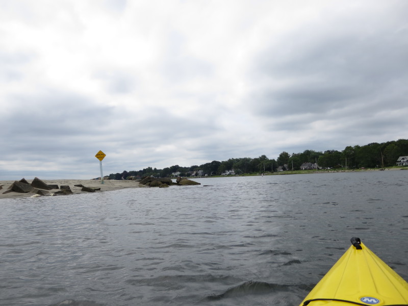
 At the mouth of Cole River and into Mount Hope Bay.
 Paddled to my left (east) to where I launched.
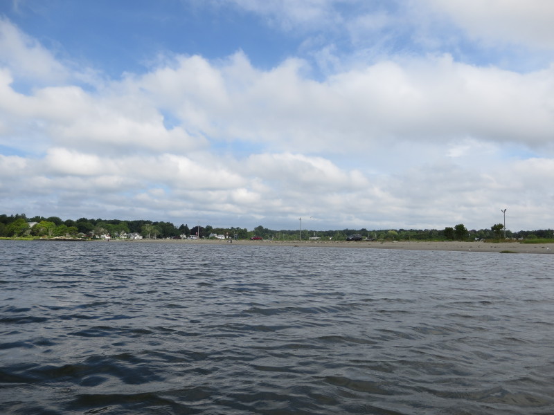
 The Swansea town beach, not so empty now.
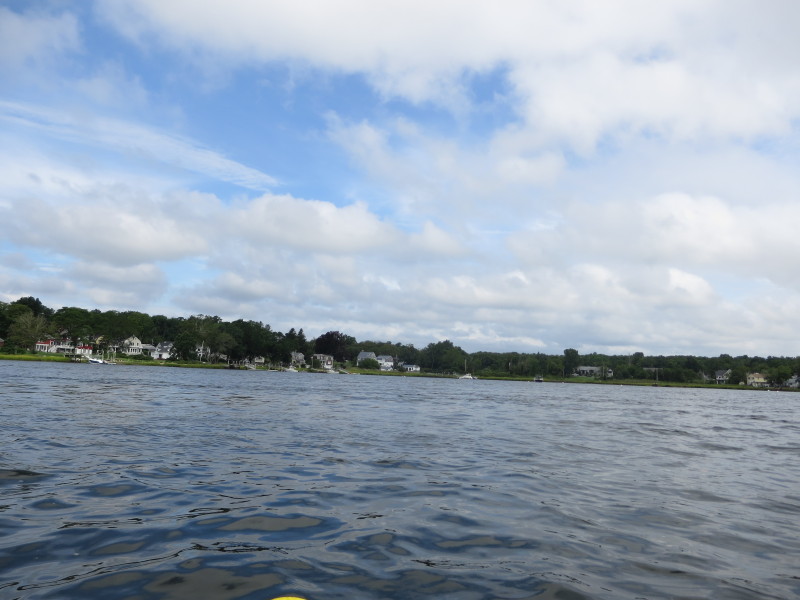
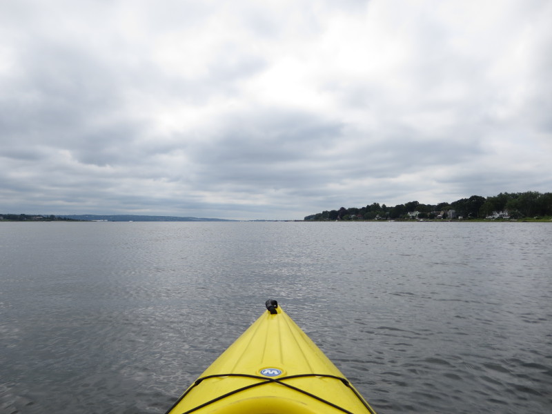
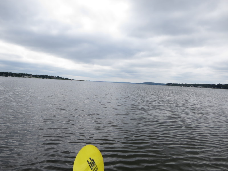 Looking to my left, Mount Hope Bay.
 The Boston Kayaker has landed.
Round trip paddle time is 1 hour 46 minutes.
|
 Kayaker