 Kayaker

|


|
Download printer-friendly
PDF version that fits in one page: |

|
|
Other resources:
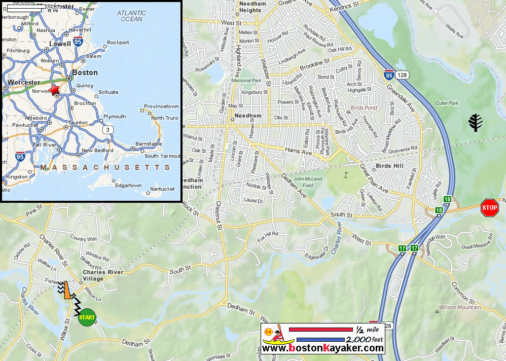
Charles River Watershed Association On The Charles Mass. Dept of Conservation and Rec: Cutler Park Mass. Dept of Conservation and Rec: Cutler Park Trail Map All photos in this website are original and copyrighted. 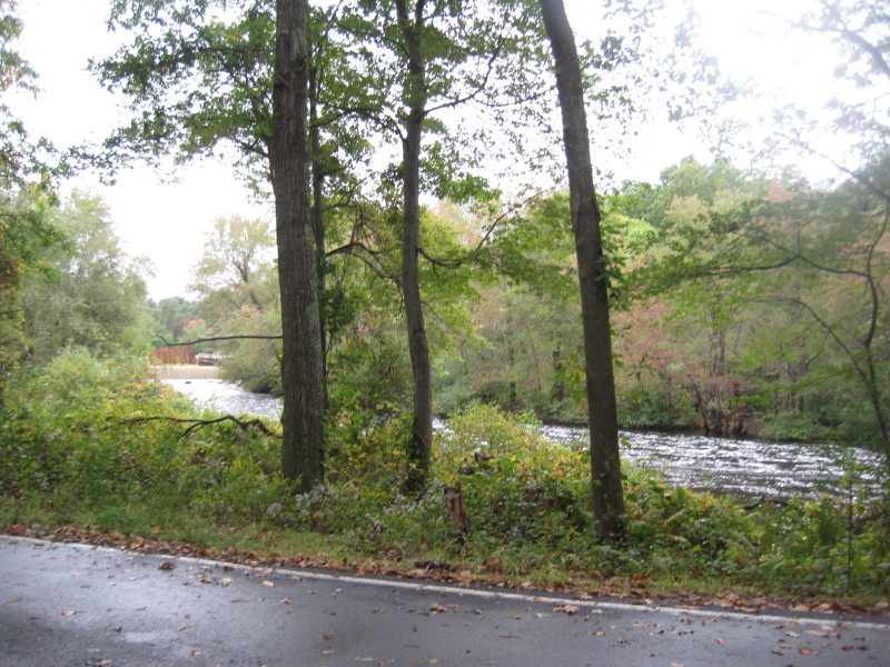 The unmarked put in site on Mill Street in Needham MA. Cochrane Dam is on left.
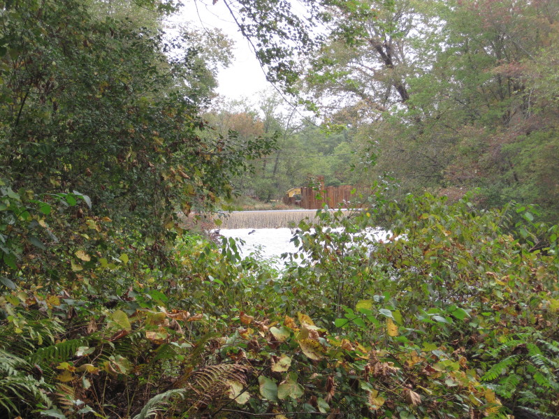 The Cochrane Dam from the put in.
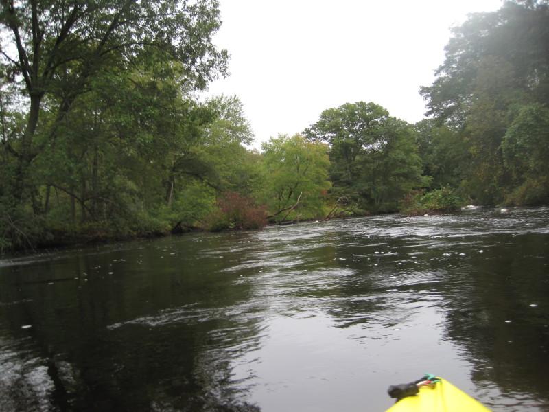
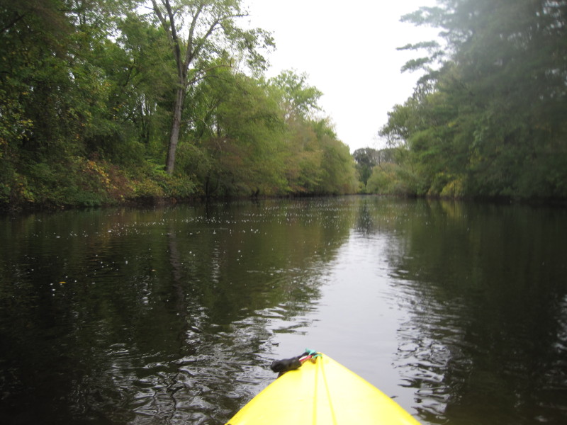
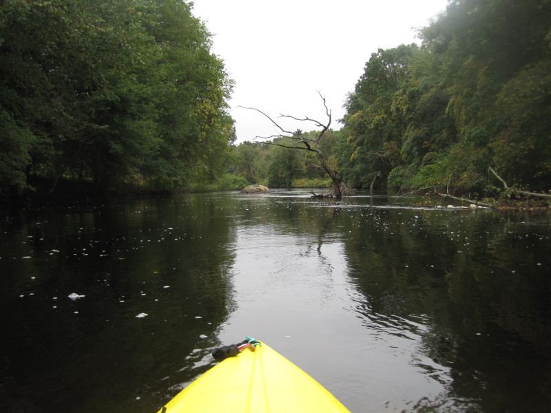
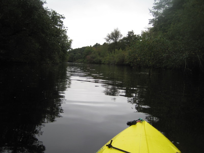
 Just launched. Trip taken beginnning of October 2011.
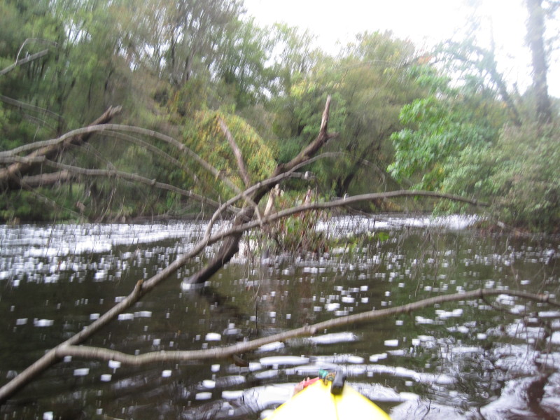
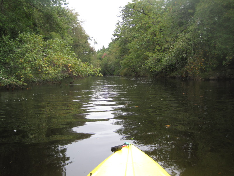
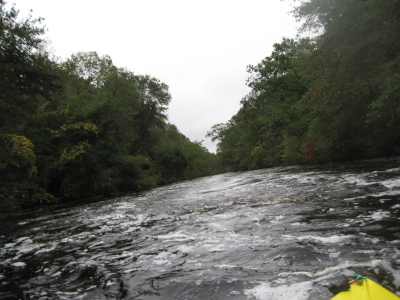 Water is fast at the put in. Class I rapids.
 Water here is bubbly as in white-water bubbly.
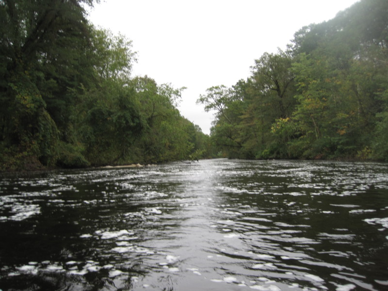
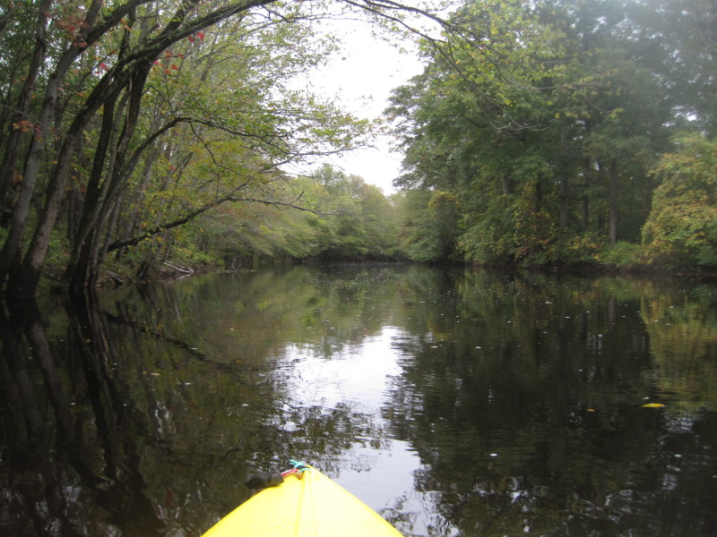
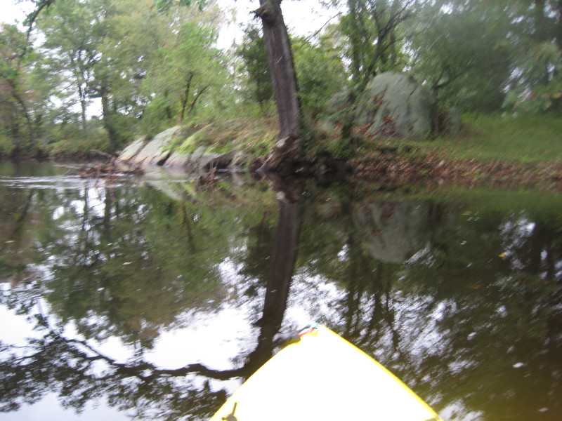
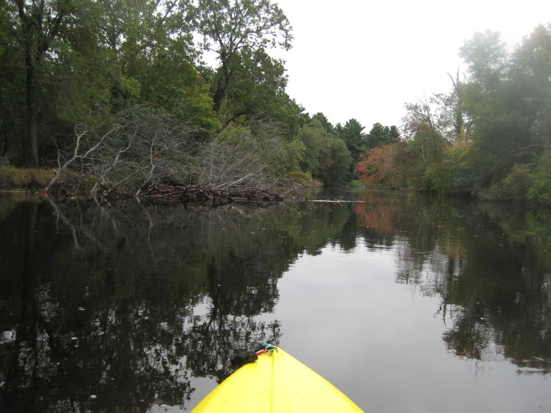
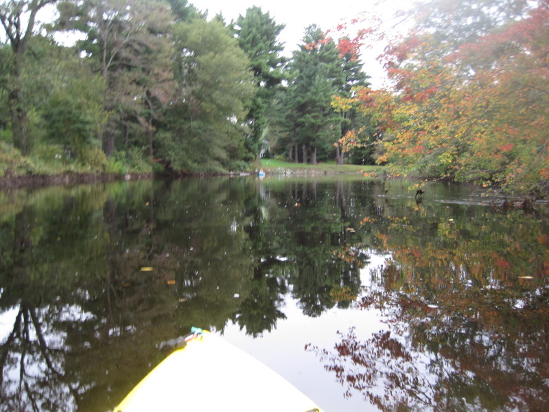
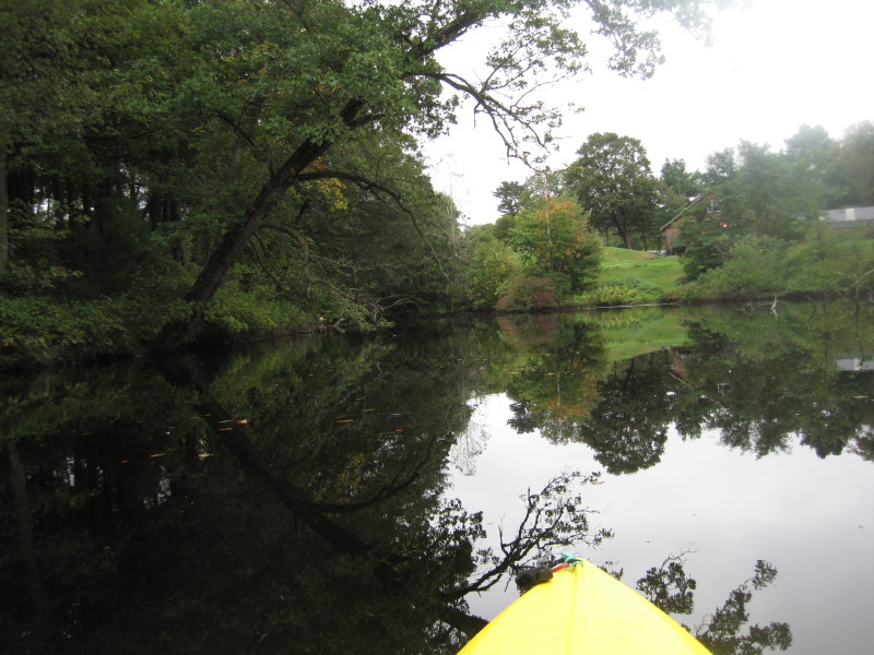
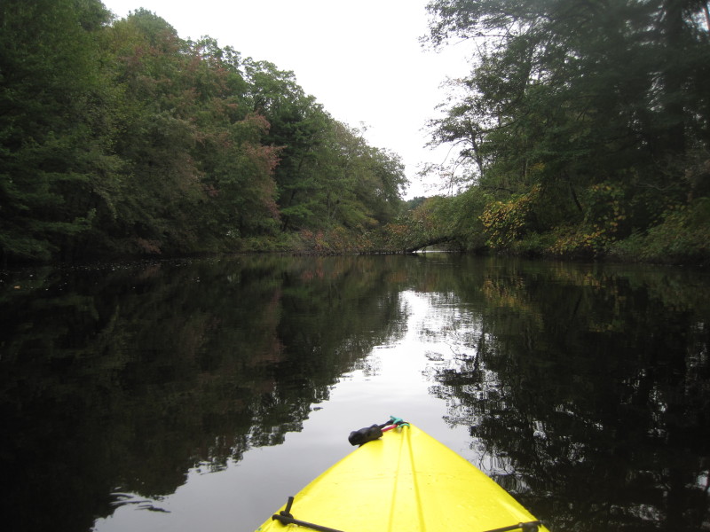
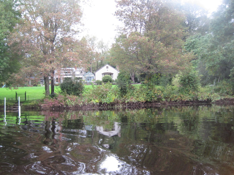
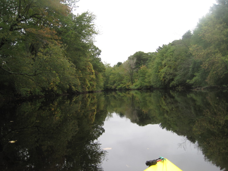
 Another 2+ weeks before the leaves burst into autumn colors.
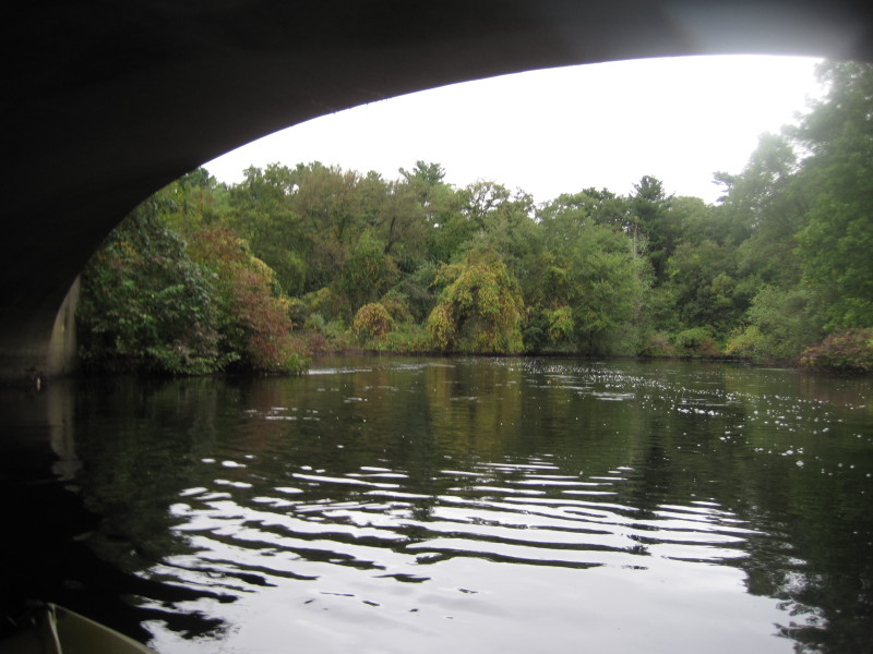
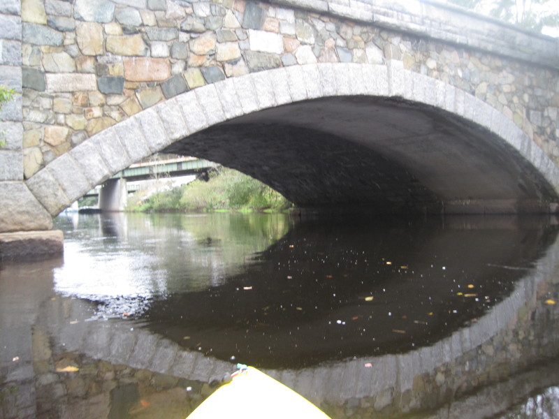
 Chestnut Street Bridge.
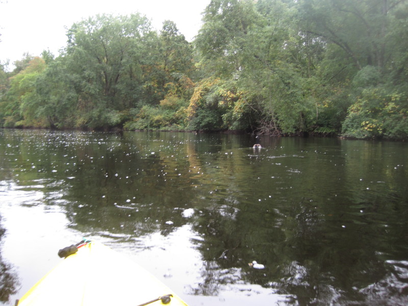 A goose.
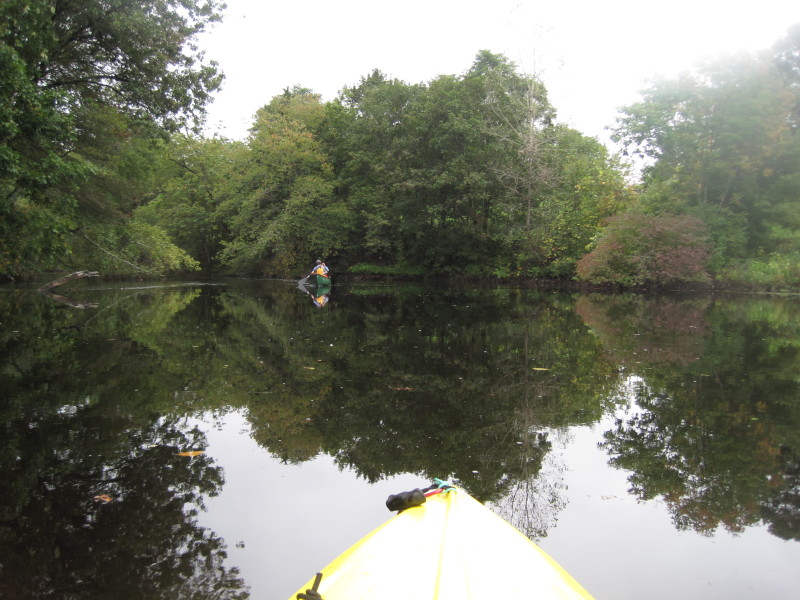
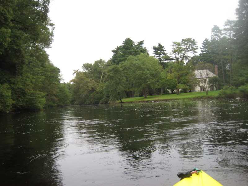
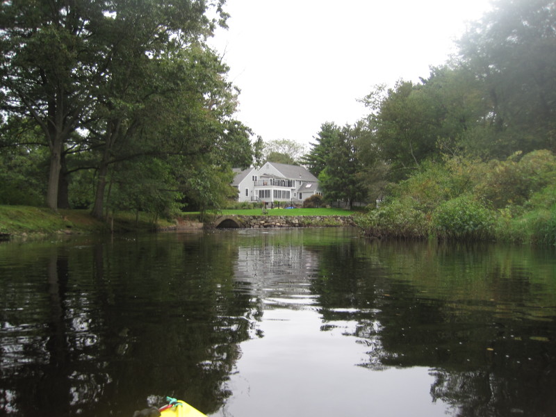
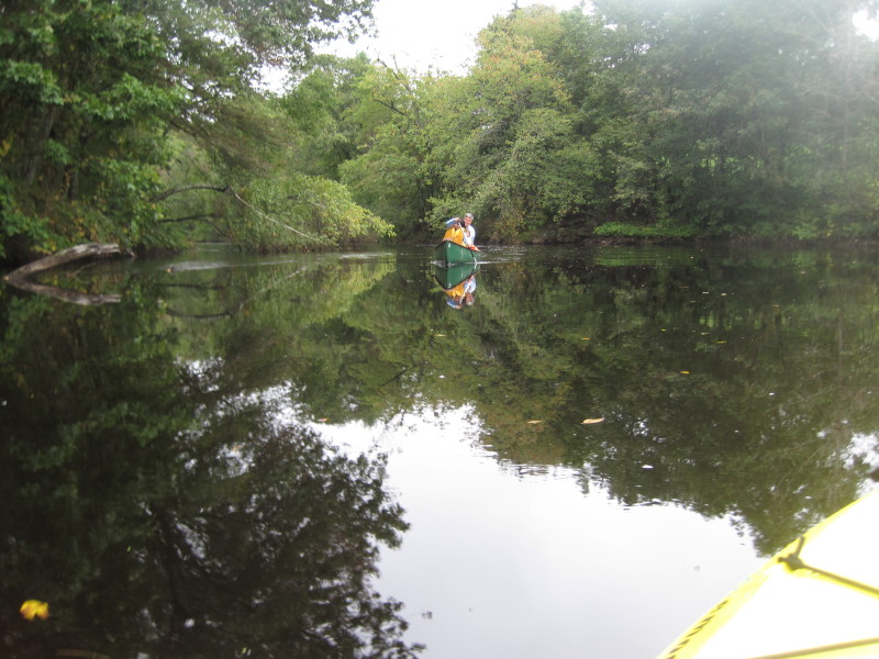 A man and 2 kids in a canoe.

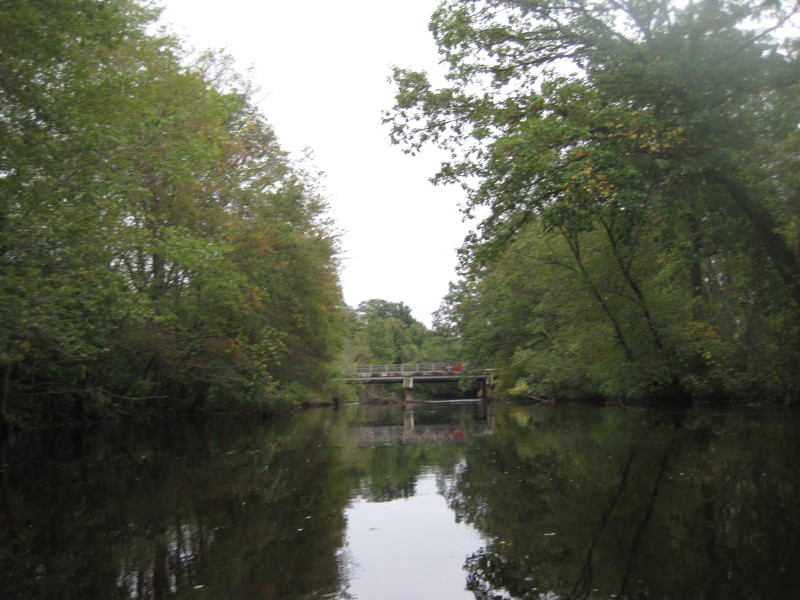
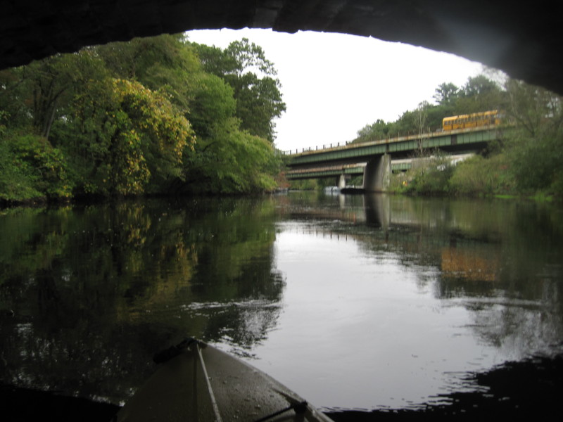
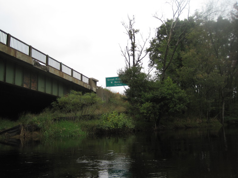
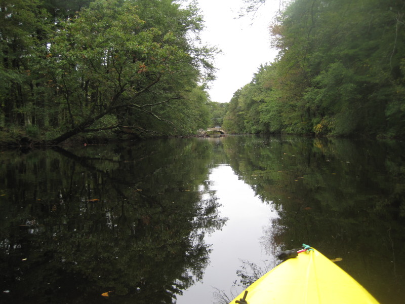 Approaching the Route 135 bridge.
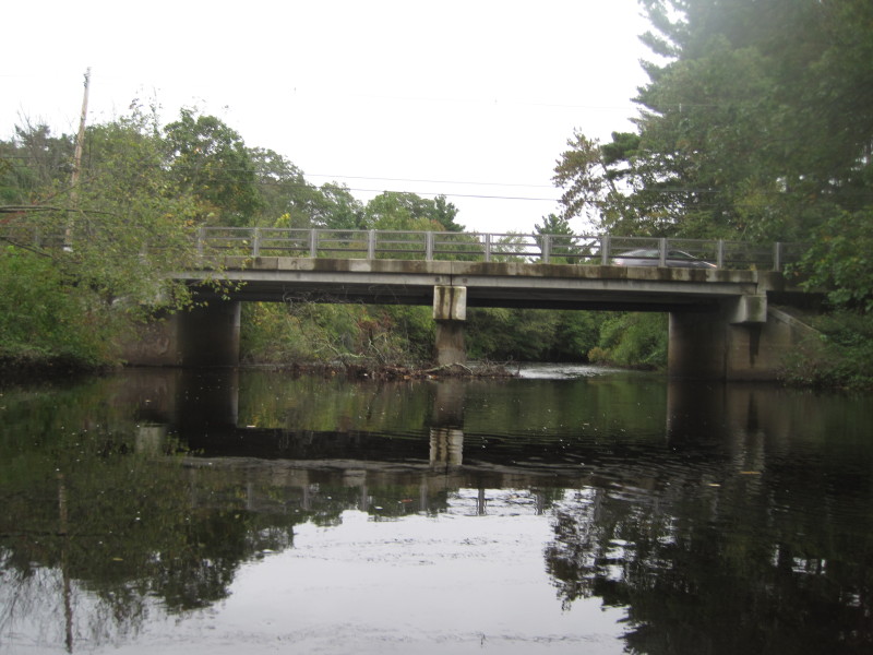
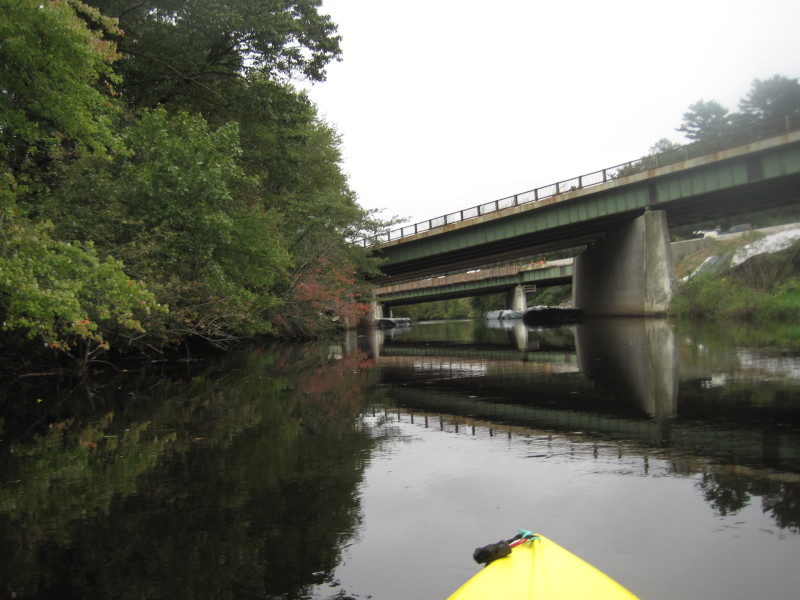
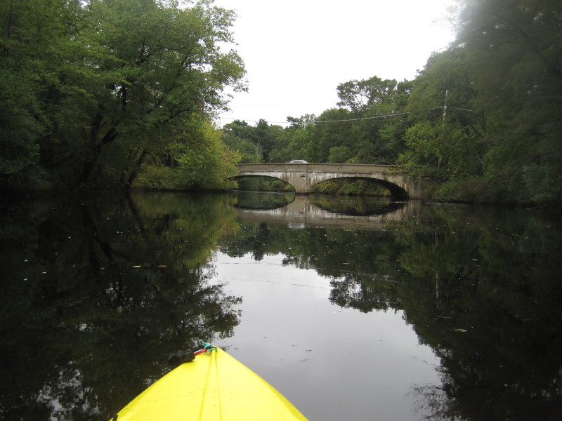 Route 135 bridge.
 The river is about to bend to the right to the Greendale Avenue bridge.
 Greendale Avenuridge.
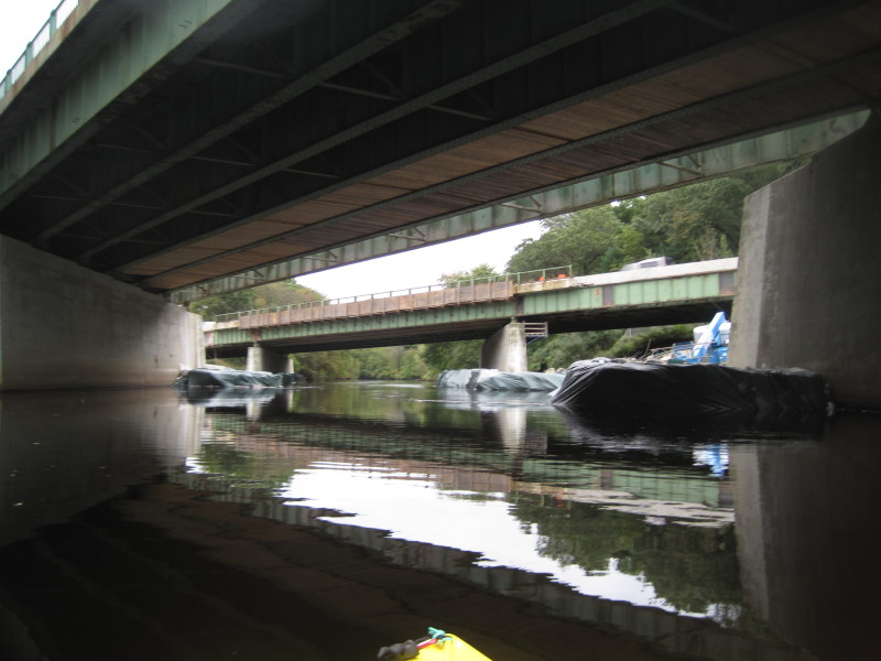
 Passing under Greendale Avenue bridge, the bridges of I-95 comes to view.
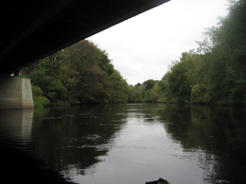
 Passing under I-95 Southbound, the northbound I-95 is next.
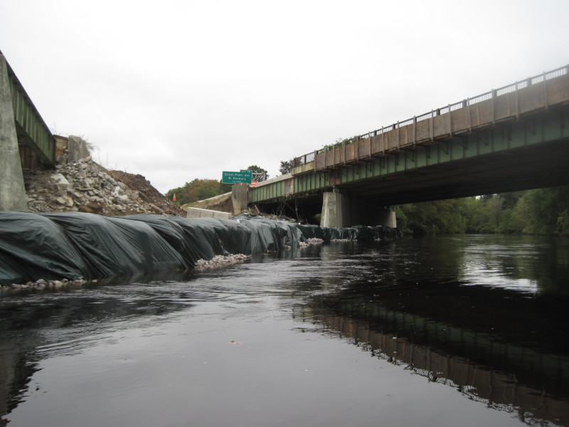 They are repairing one lane on the northbound I-95 bridge.
 Exit 18B. I am very close to my take out spot.
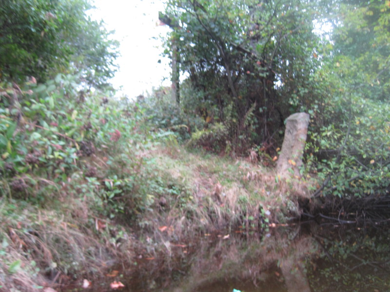 There is the stone marker to the takeout I scouted earlier.
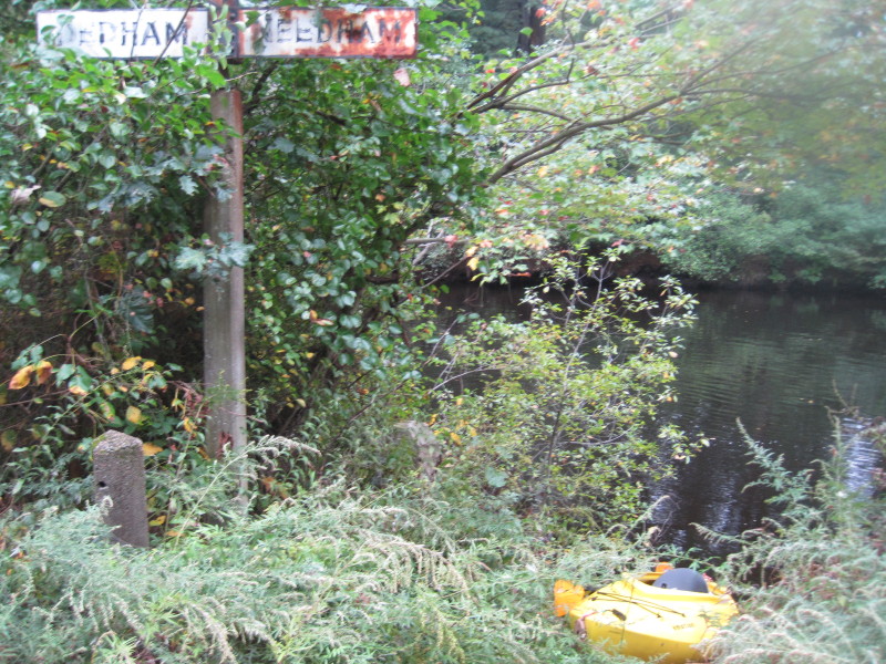 Landed on the Dedham/Needham town line.
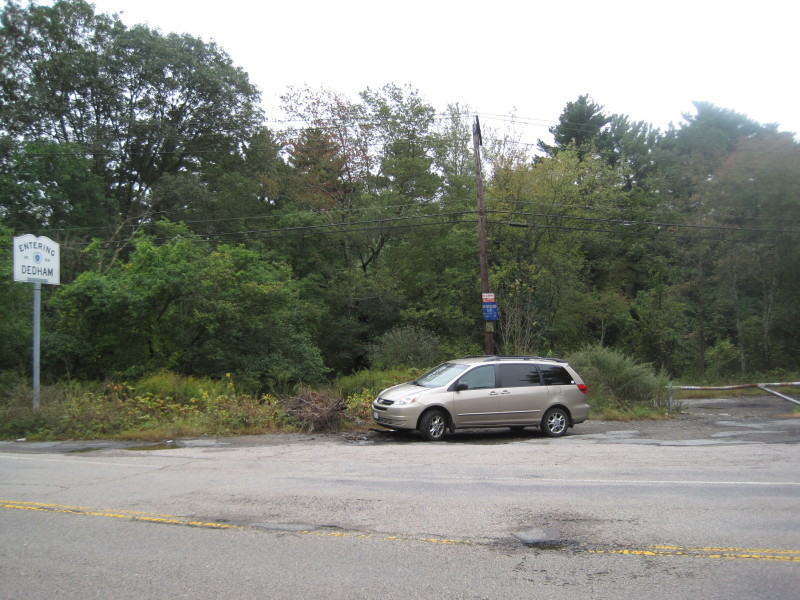
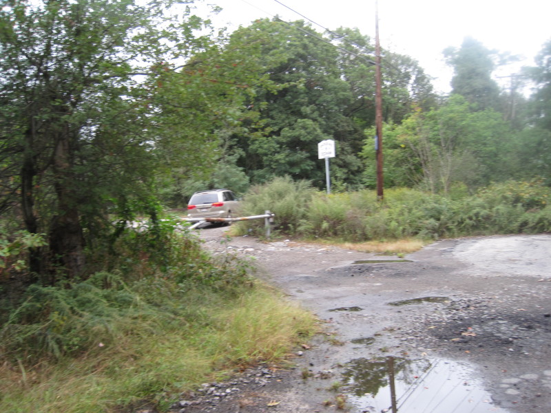 My car is waiting just outside the closed gate.
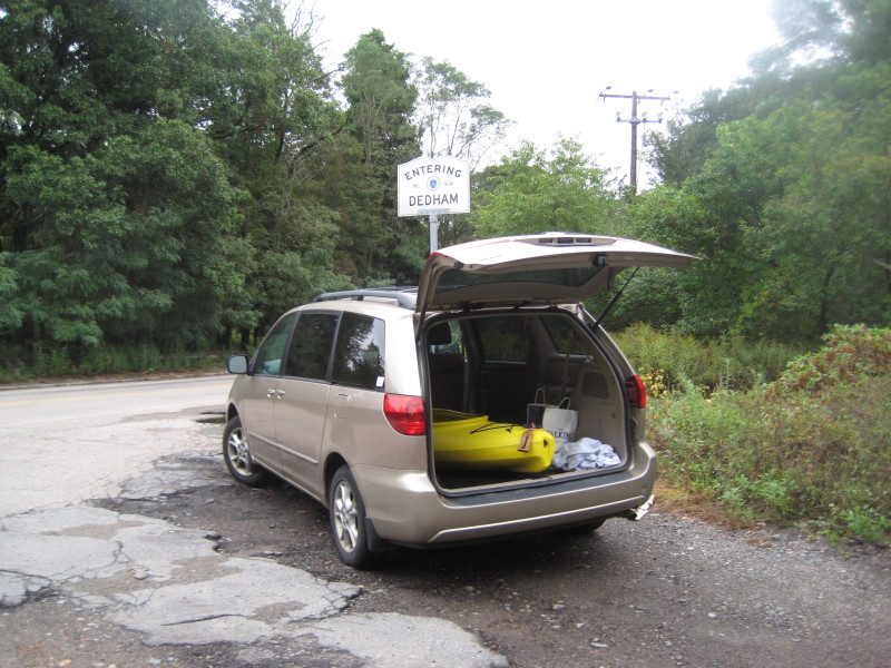 That was a quick trip. An hour and a half on the water.
 This launch site is directly in front of the Exit 18 ramp off I-95 North.
|