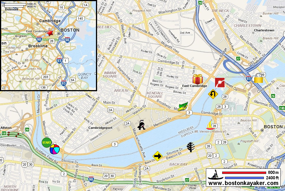
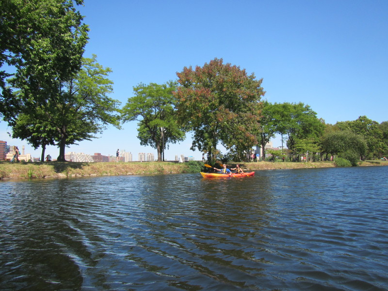
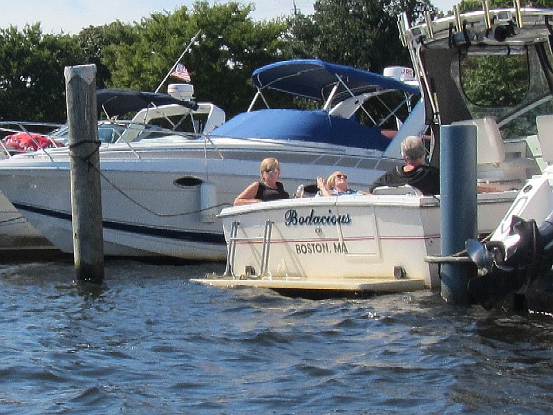
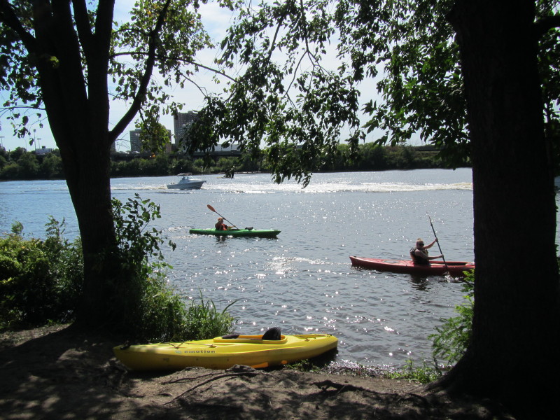
 Kayaker

|


|
Download printer-friendly
PDF version that fits in one page: |

|
|
Other resources:
Charles River Watershed Association CRWA: Charles River Recreational Guide CRWA: Charles River Recreational Guide (cached copy) Museum of Science Charles River Canoe and Kayak Rental at Cambridge Kendall Square Community Boating Inc sail boat rentals All photos in this website are original and copyrighted. 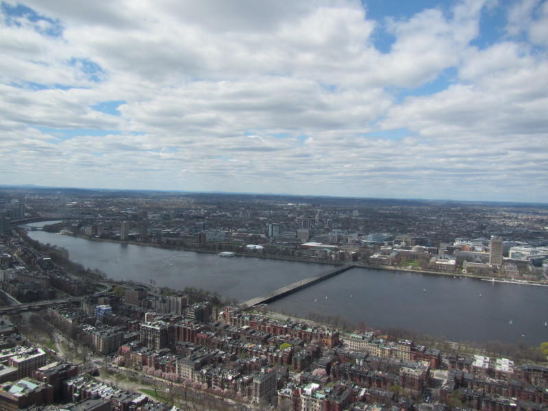 The picture above and below were taken April 2015 from the Prudential
Center's Skywalk on the 50th floor.
The picture above and below were taken April 2015 from the Prudential
Center's Skywalk on the 50th floor.
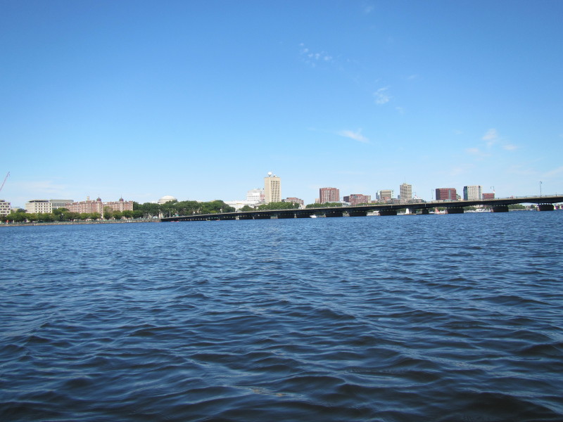
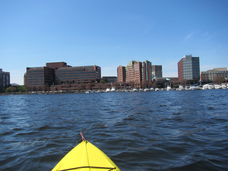
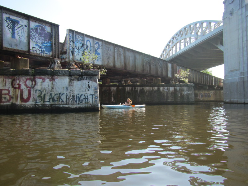
The photo above is looking westwards--left of picture--at the BU bridge where I launched. 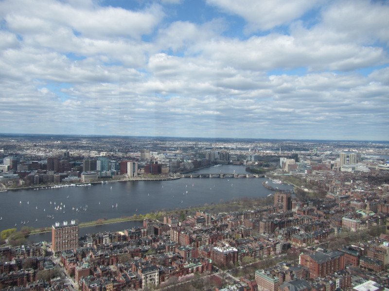 Picture above looking eastwards towards the Museum of Science at the east end of the paddle route.
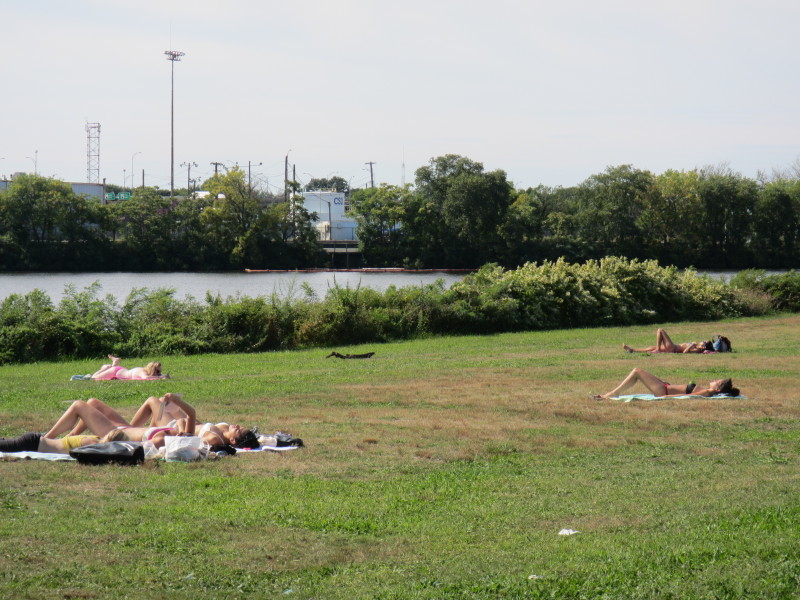
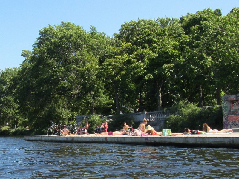
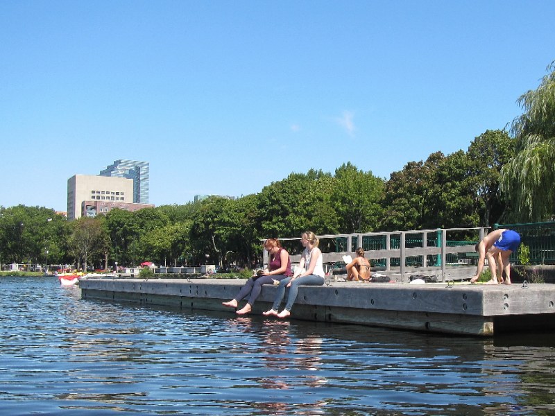
 At Magazine Beach on Memorial Drive in Cambridge MA.
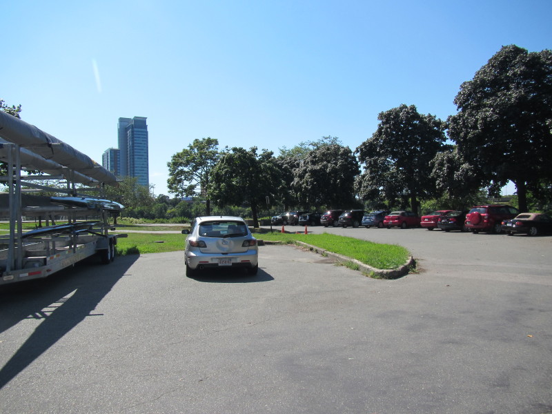
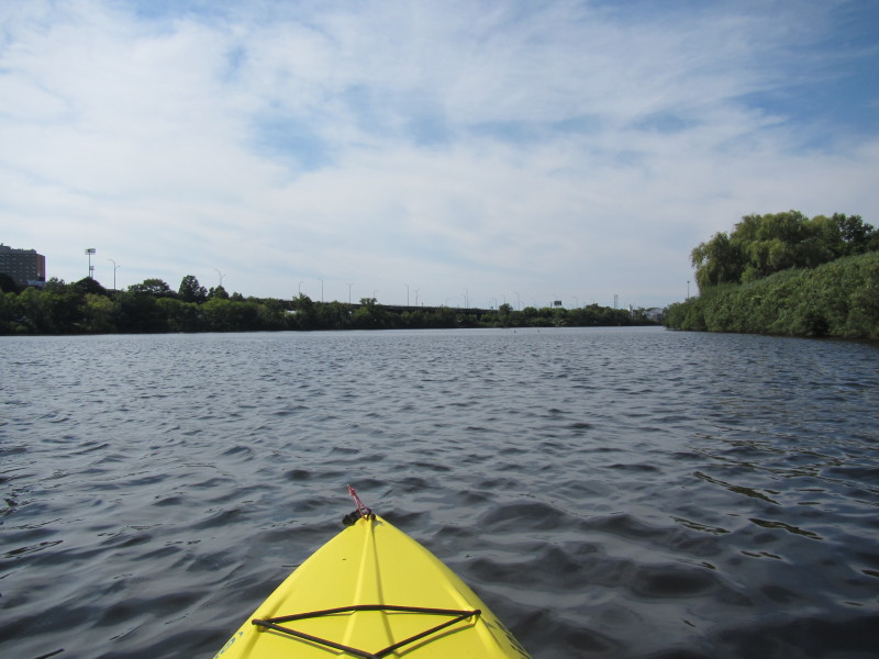
Trip date is September 2013. 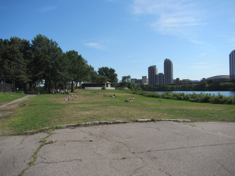 Next to the launch area is Magazine Beach.
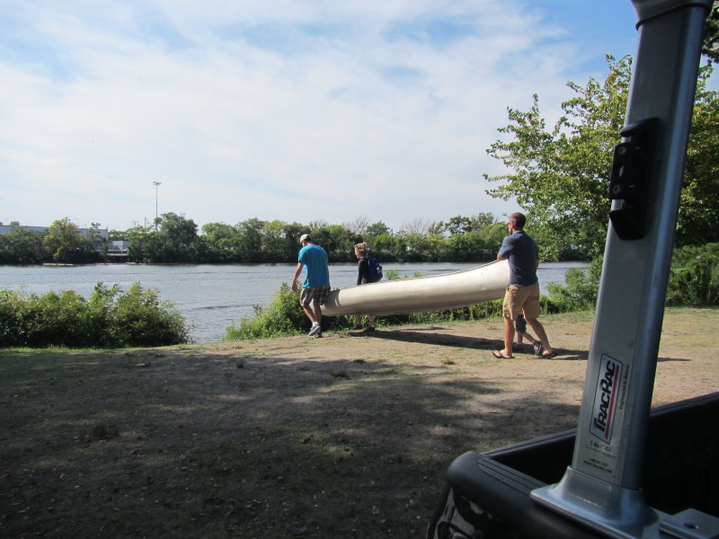
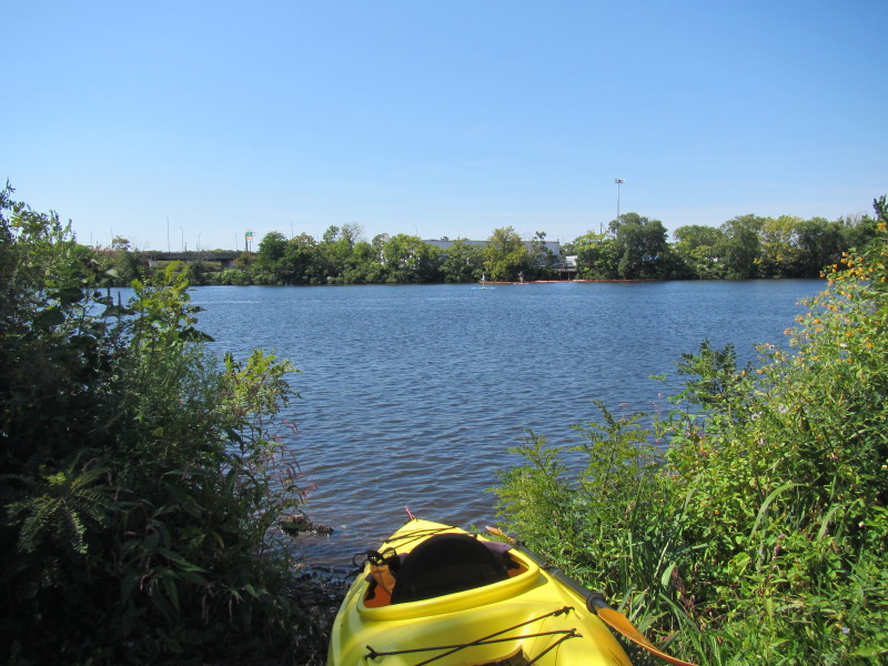 The put in spot is unmarked and unremarkable.
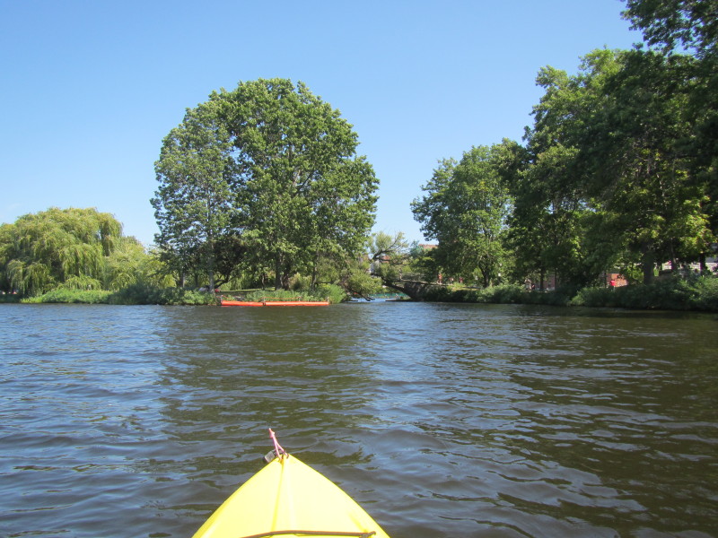
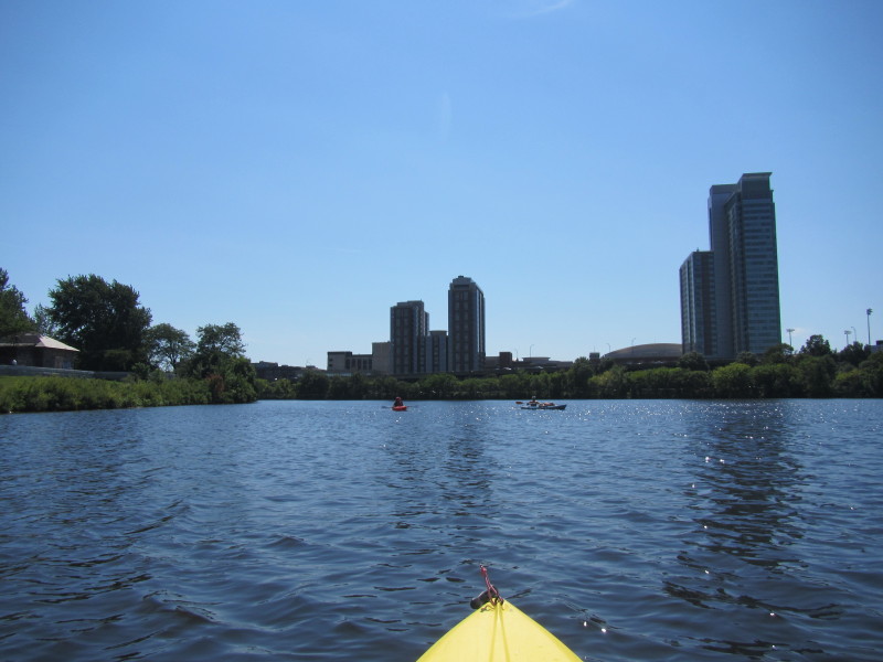 Just launched on Charles River from Magazine Beach in Cambridge MA.
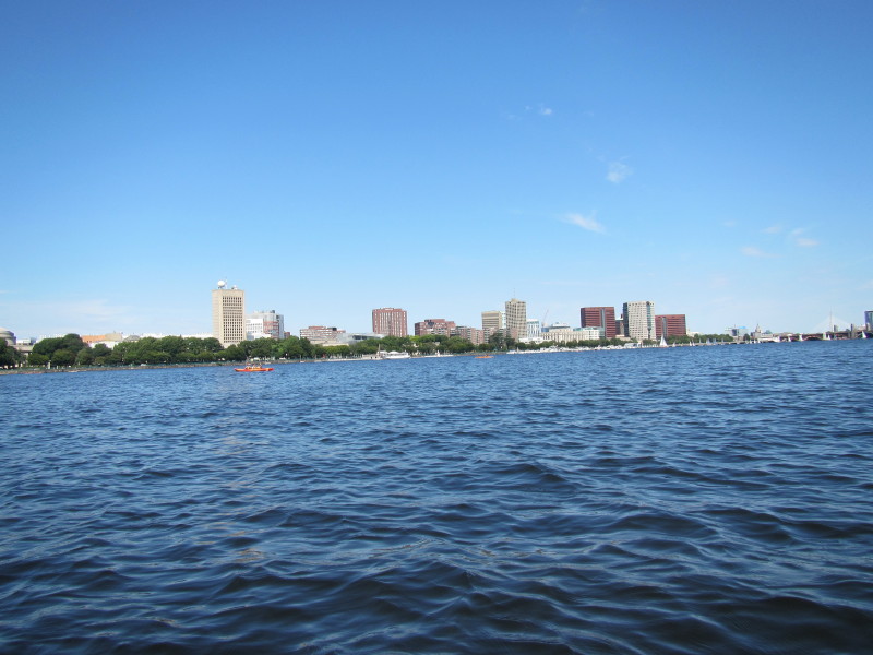
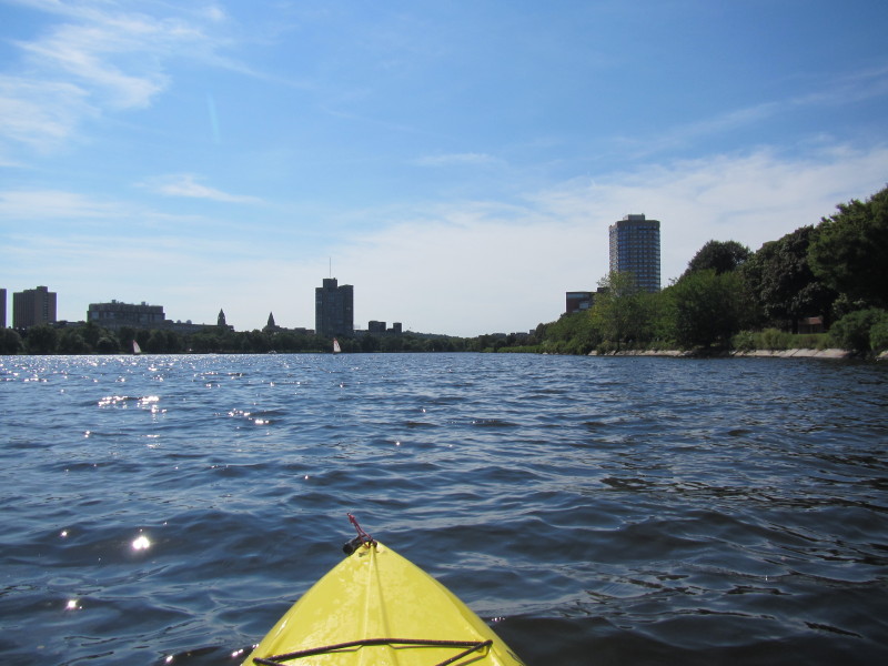
I am paddling east towards the mouth of the Charles River. 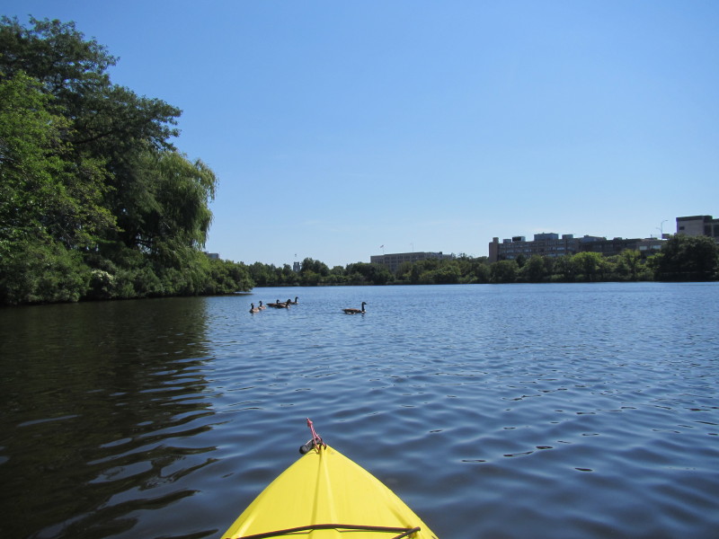 Paddling downstream, on my left, north bank, is Cambridge MA.
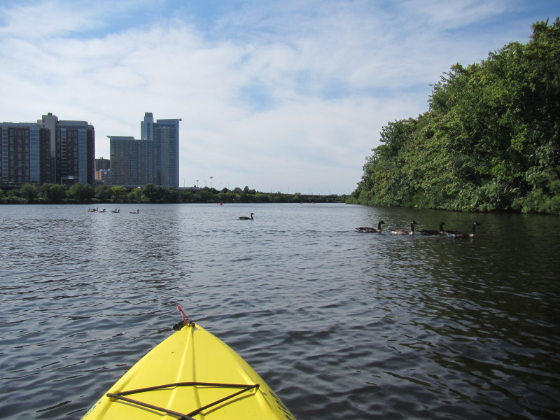
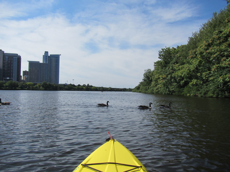
On my right, south bank, is Boston MA. 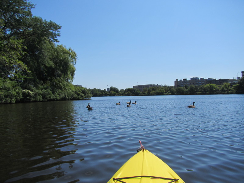 I noticed the ducks here are urbanized and comfortable with kayakers close by unlike their rural cousins.
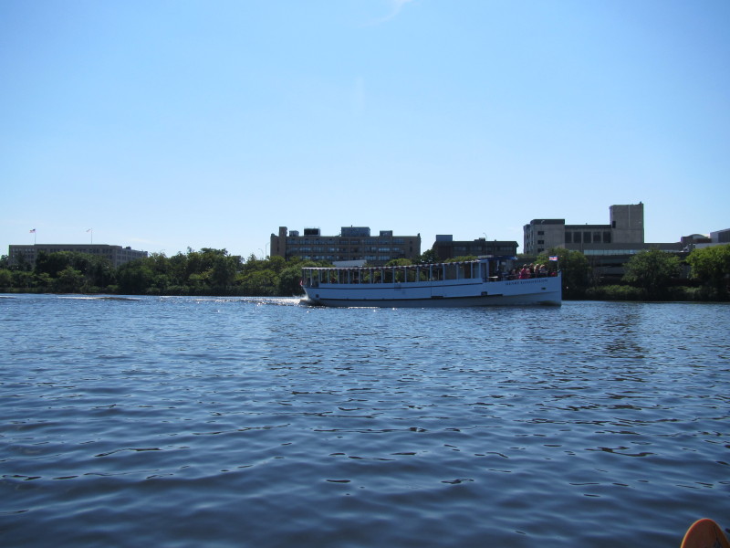
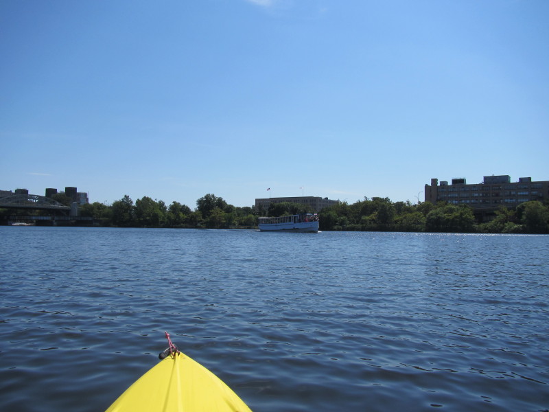 The joyride ship from the Cambridge Galleria Mall.
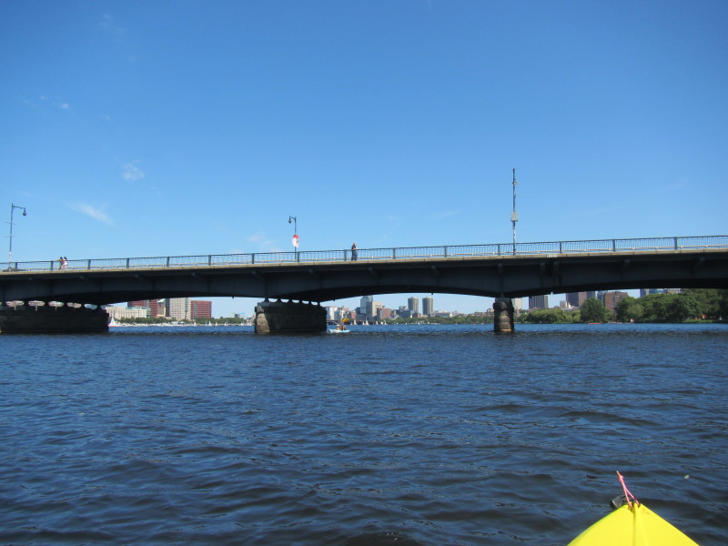
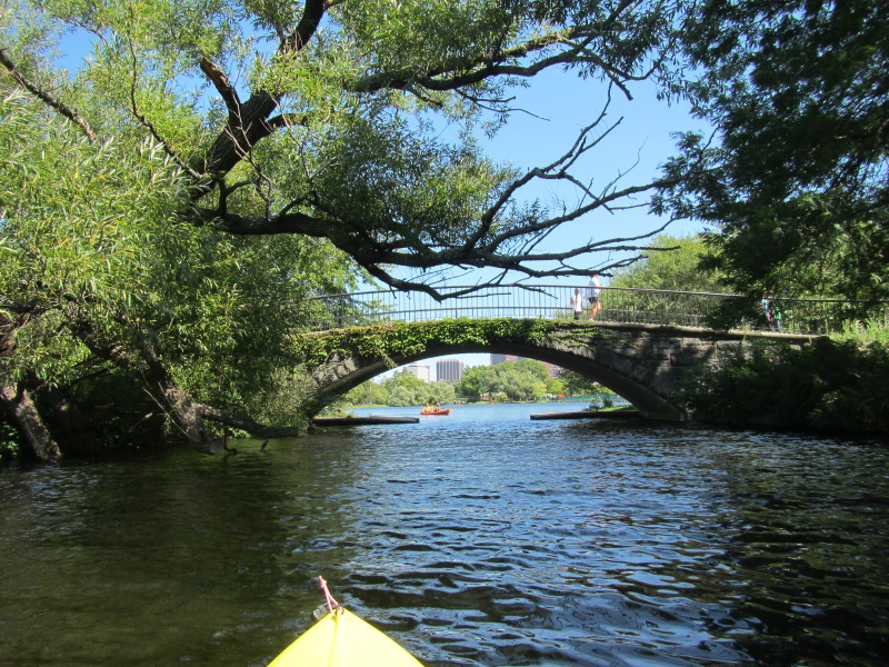
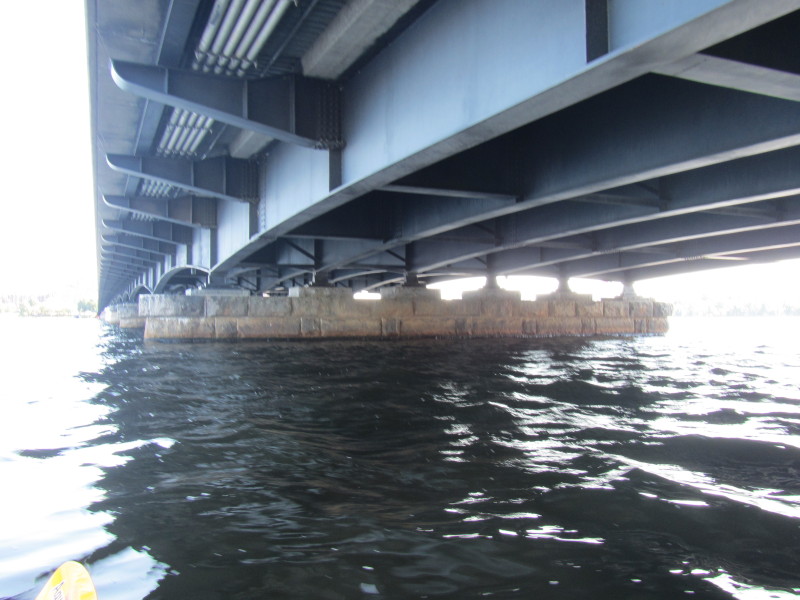
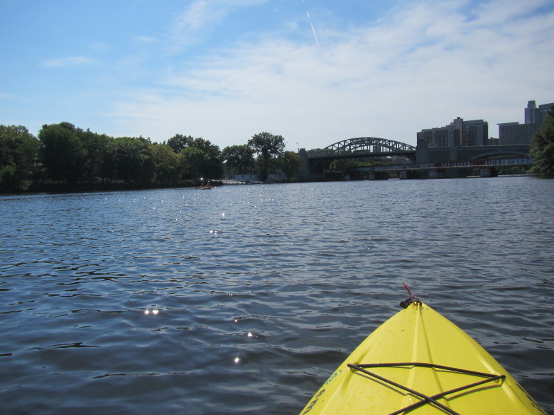
 Boston University Bridge coming up.
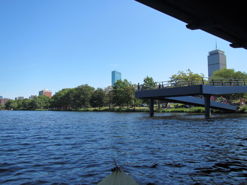
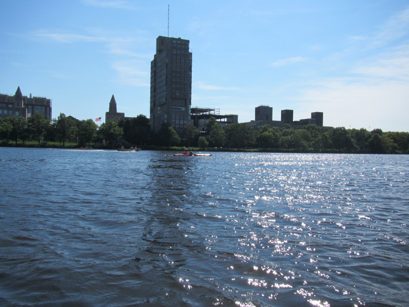
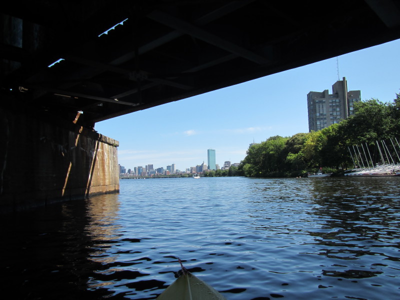 Still under the BU bridge, I can see the John Hancock II tower,
the tallest building in New England.
Still under the BU bridge, I can see the John Hancock II tower,
the tallest building in New England.
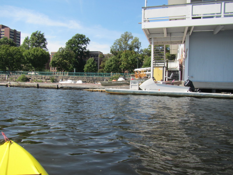
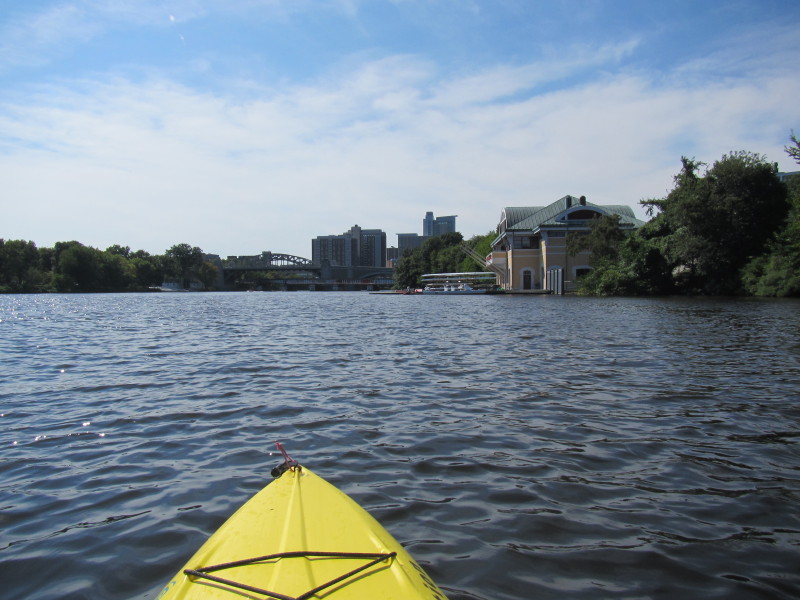
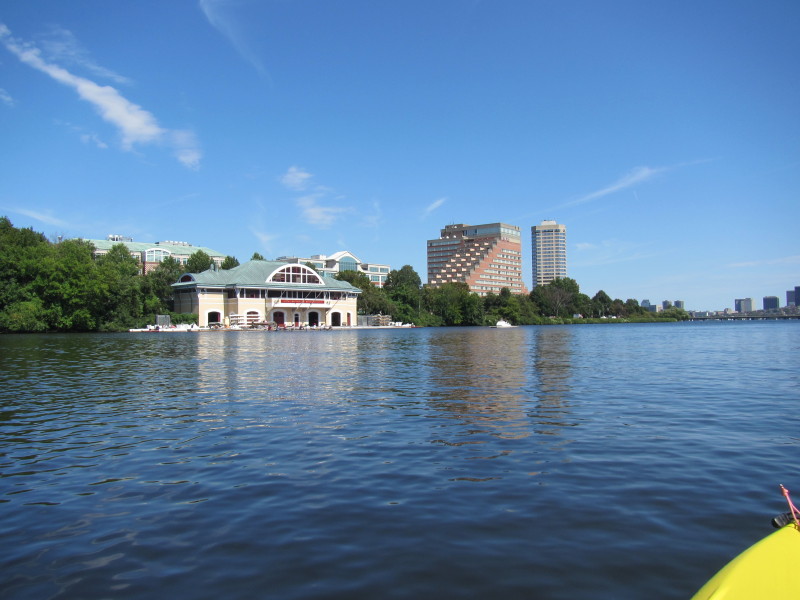 On the left bank is the BU Boathouse.
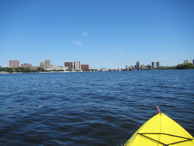
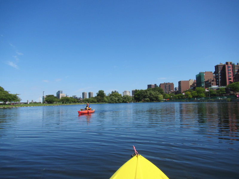
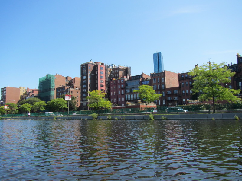
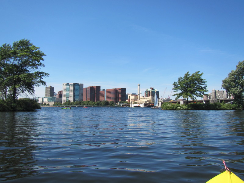
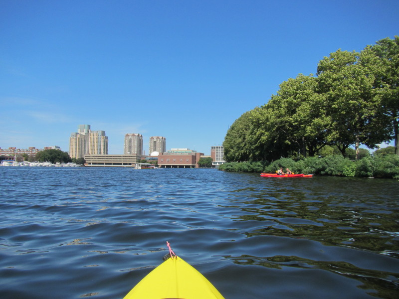
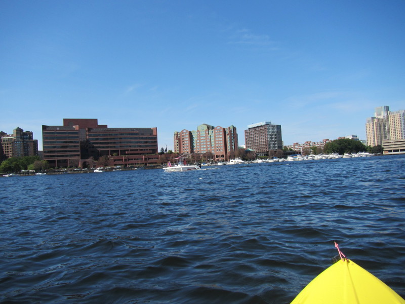
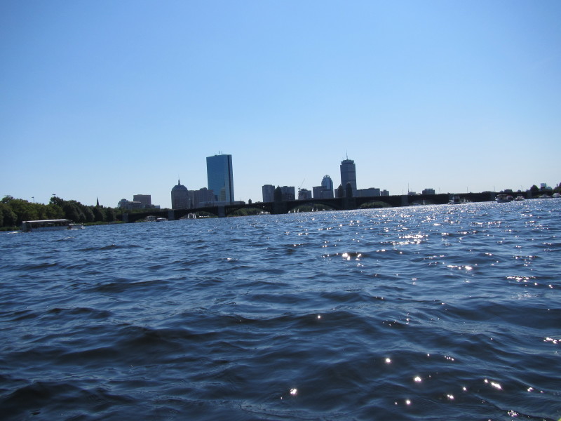
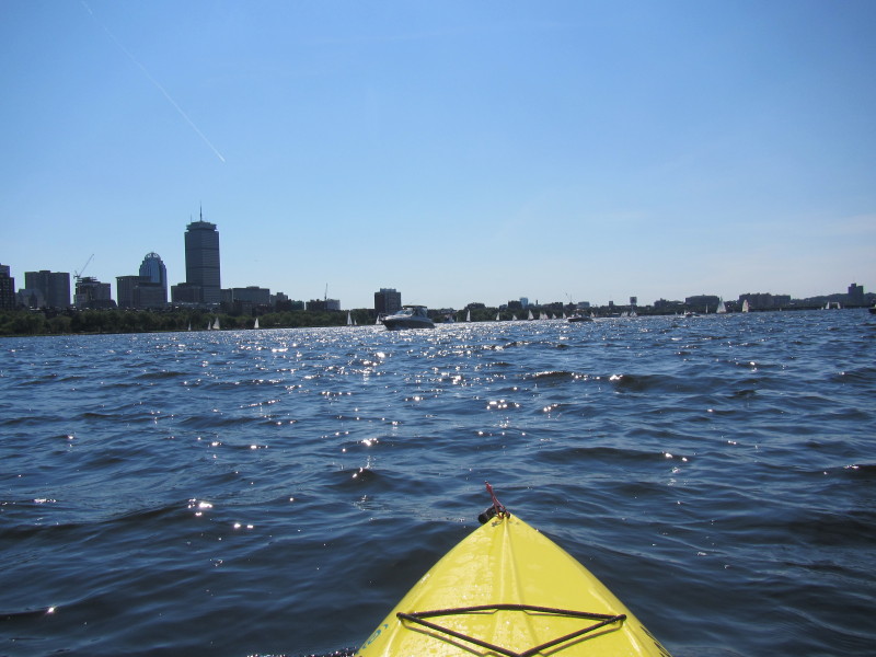
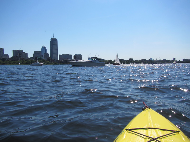
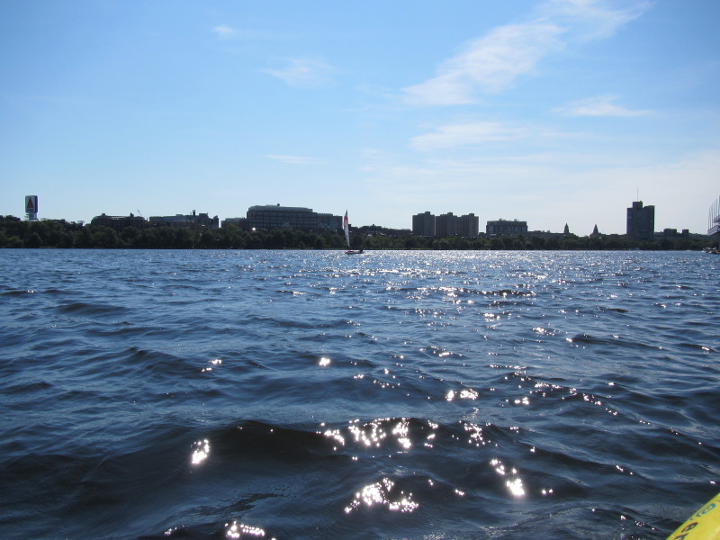
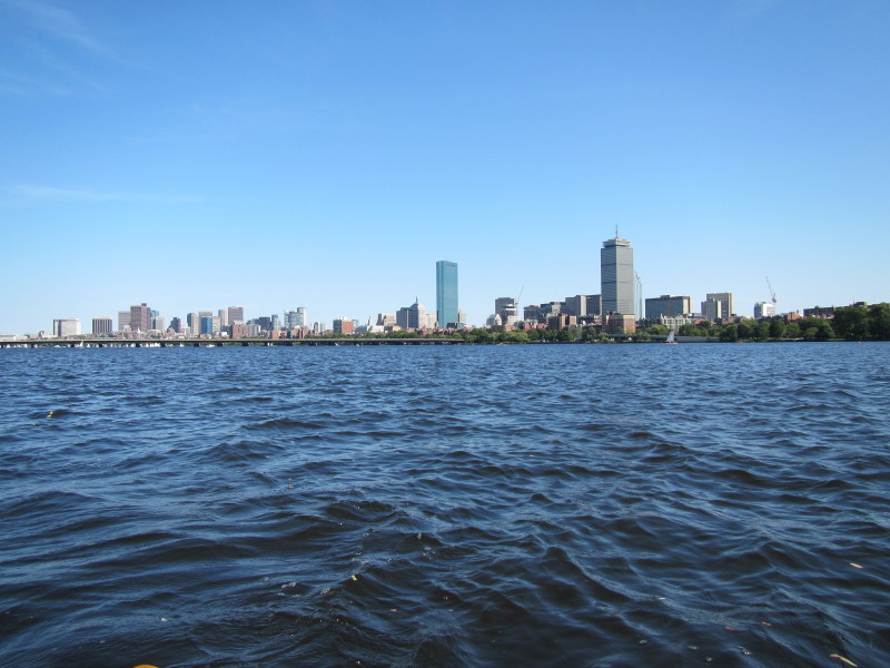
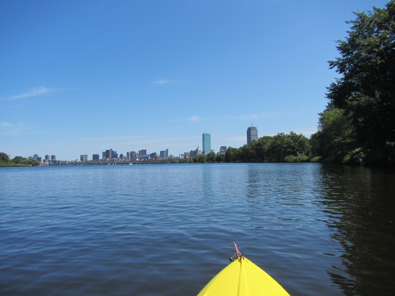 Boston's skyline now coming into view.
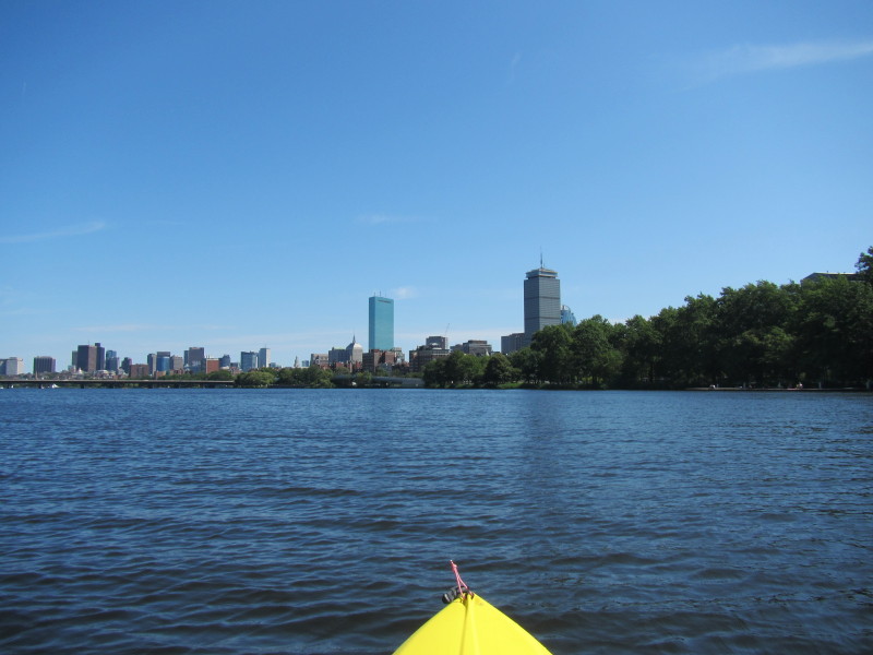 The two tallest buildings in New England in the center.
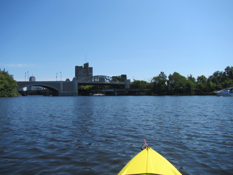
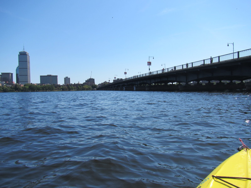
Left of center, the glassy taller of the two, is John Hancock Tower II. Right of center, is the Prudential Center where the Boston Kayaker worked for 30 months beginning December 1997 to June 2000. 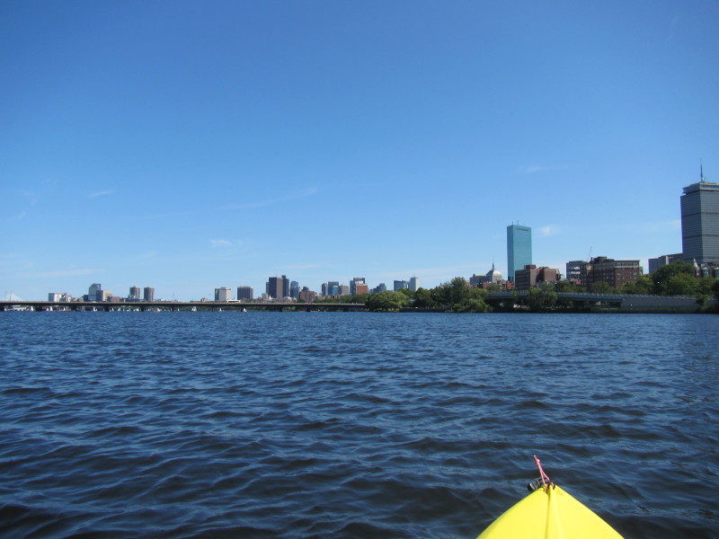 On the left half of this picture is the Massachusetts Avenue ("MassAv") bridge.
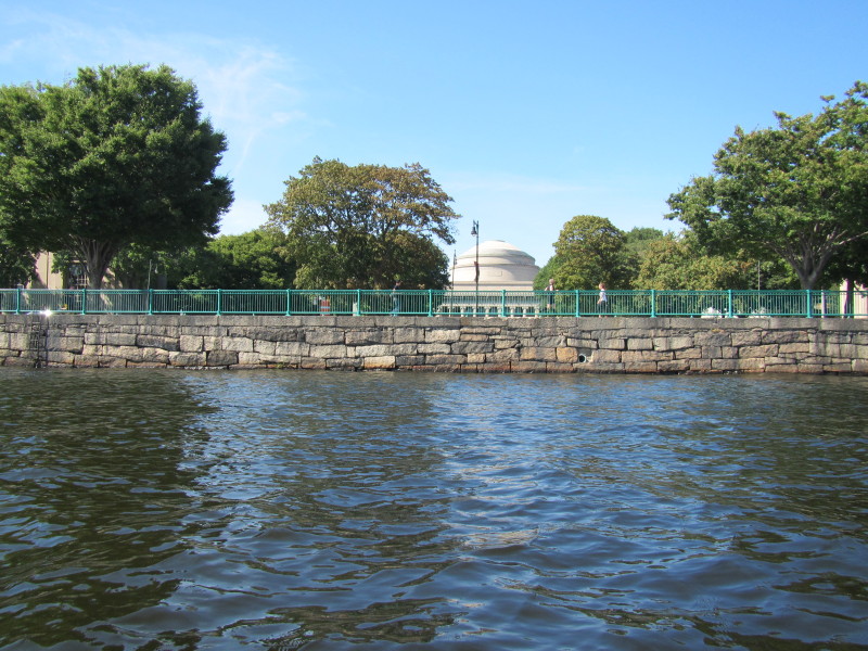
 Looking to my left to Cambridge, the dome of M.I.T. is visible (it's above where the bridge ends).
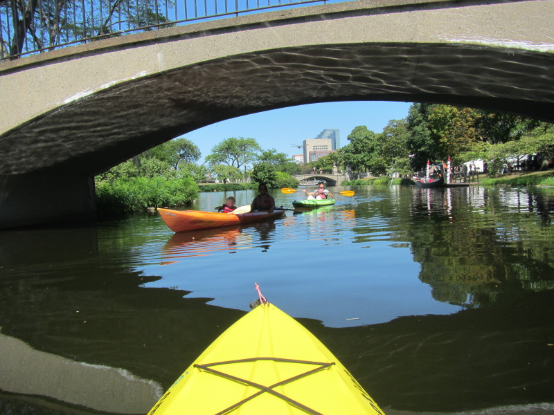
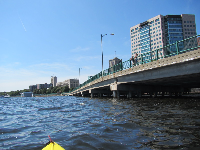
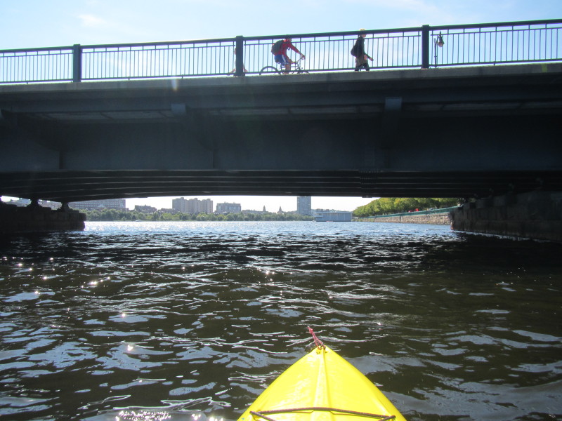
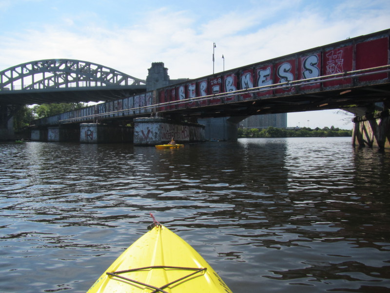
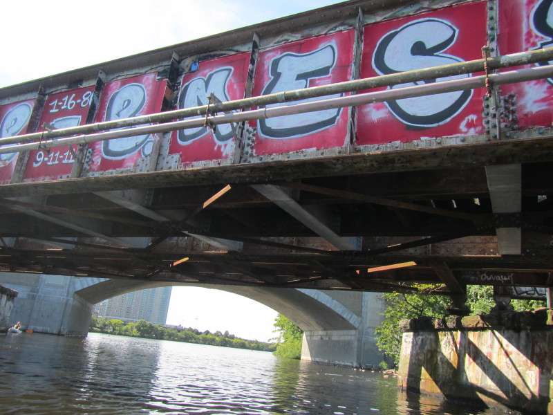
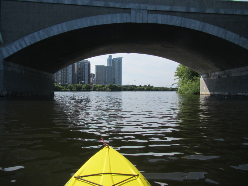
 Under the MassAv bridge.
 On my right is the Boston Esplanade.
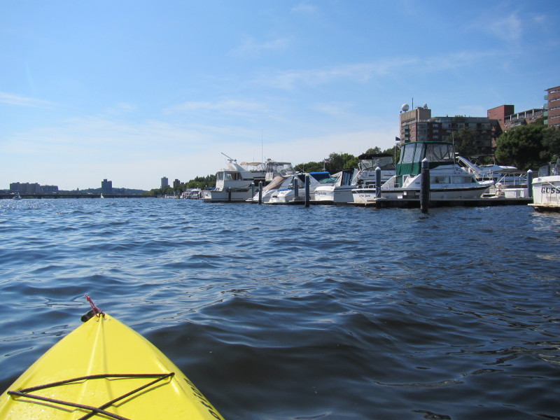
 Looking at my left is the Cambridge side waterfront.
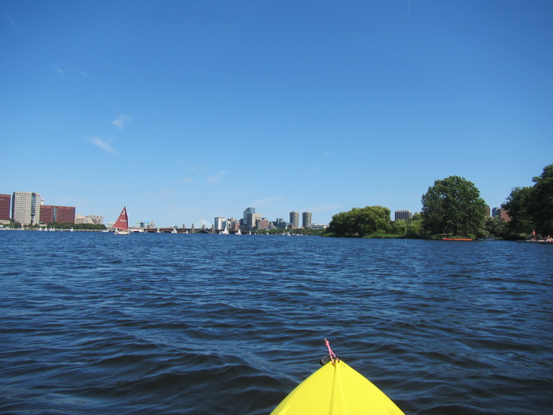
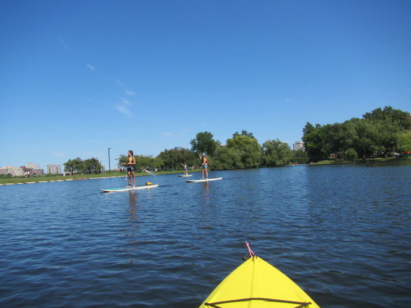
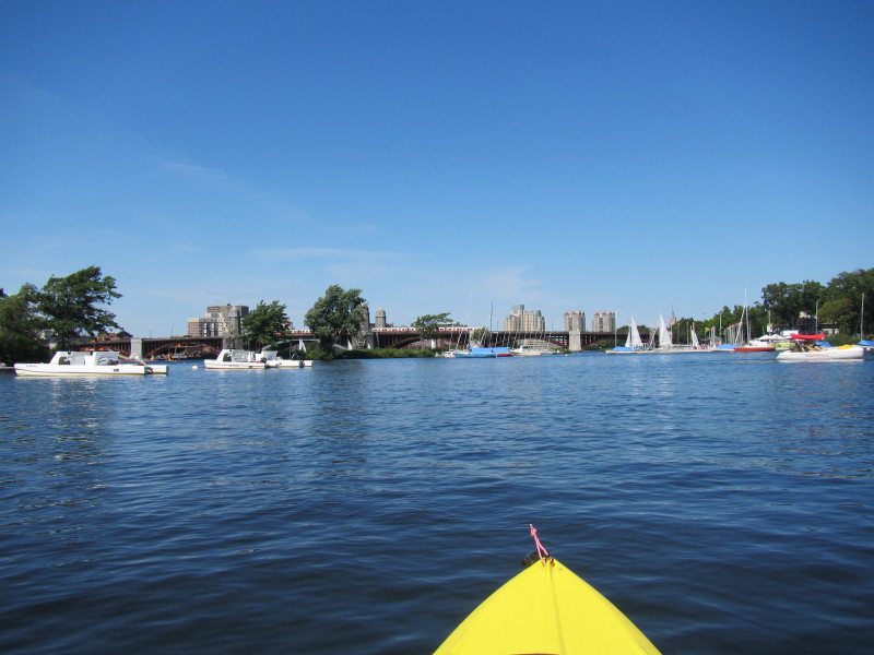
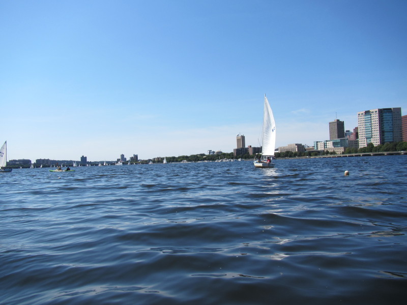
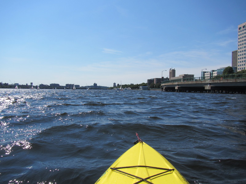
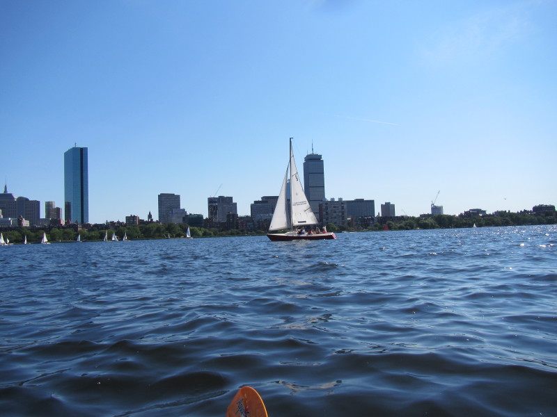
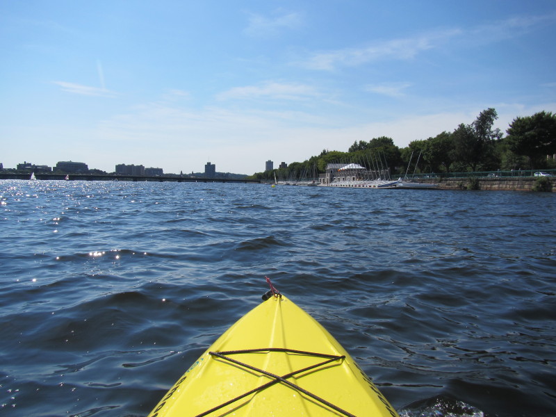
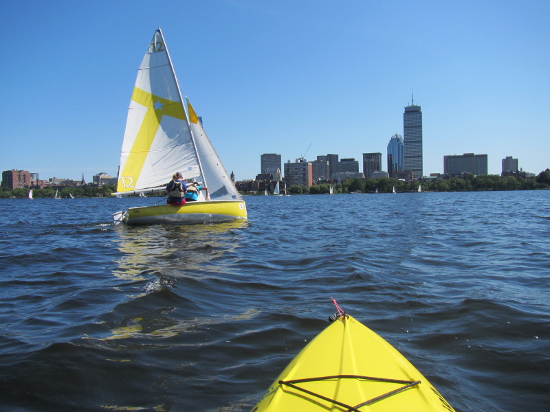
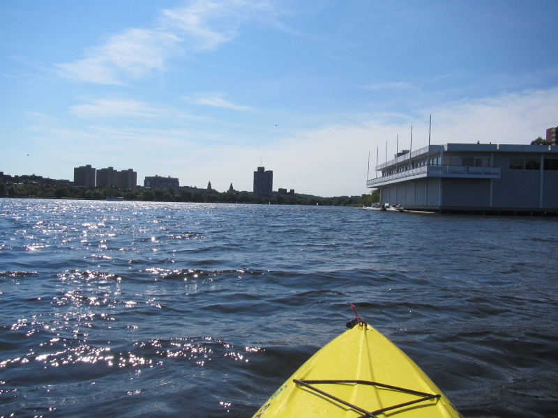
 Now heading to the busy mouth of the Charles, I can see a lot of sail boats.
 I will veer right and enter the Esplanade Lagoon.
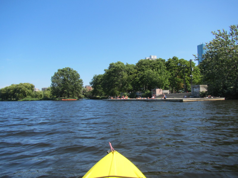
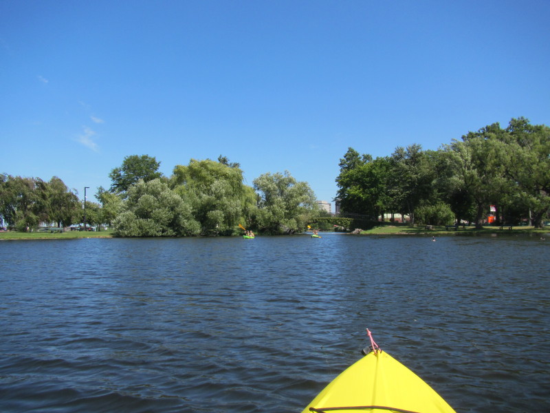
 Now into the Esplanade Lagoon.
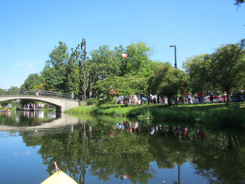
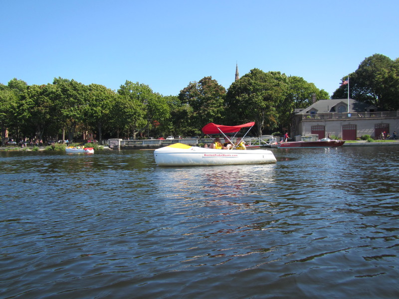
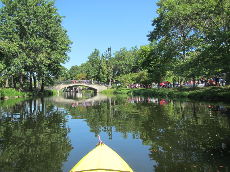 There is some event here that I do not know of . . .
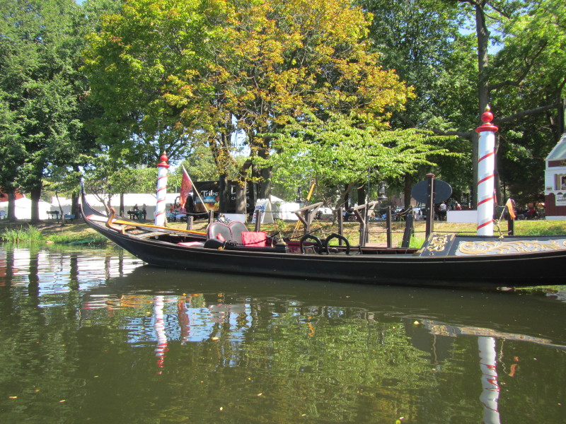 Never knew there is a gondola here you can hire.
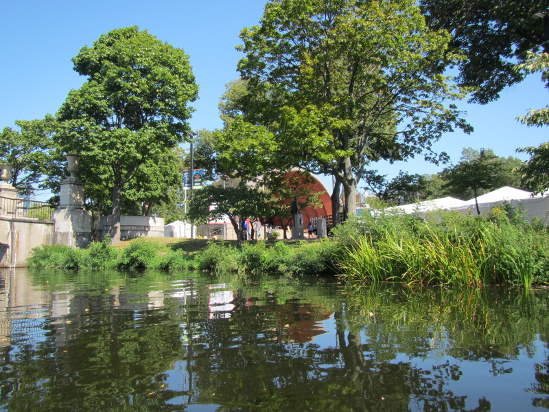 The Hatch Shell on Boston's Esplanade.
This is where the July 4th concerts are staged. 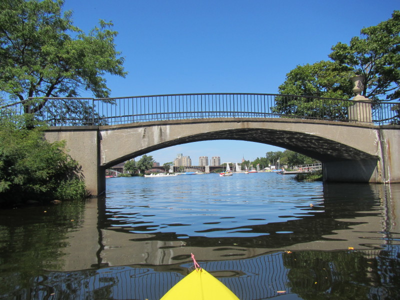
 I am not at the eastern end of the Esplanade lagoon where Community Boating is.
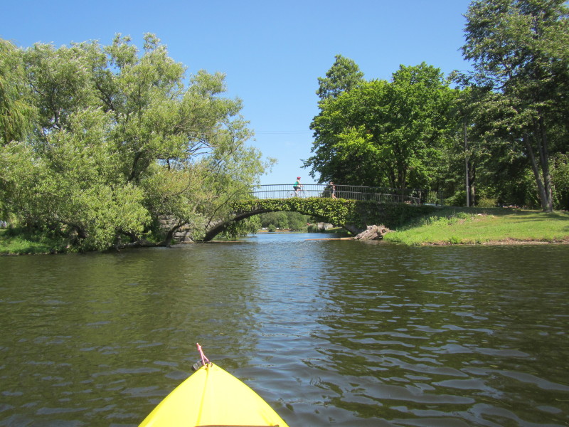
 Heading out of the lagoon into the Charles.
 Now out of the lagoon and into the choppier waters of the Charles River.
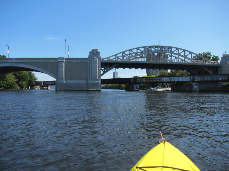
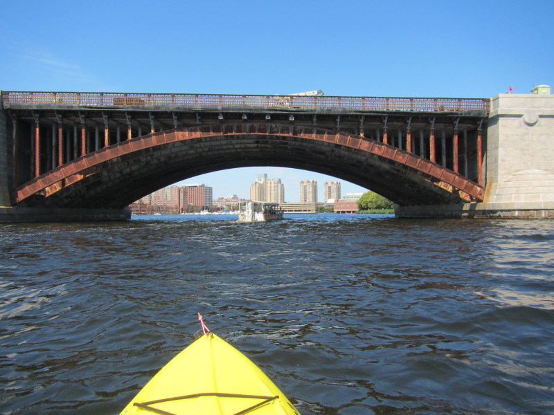
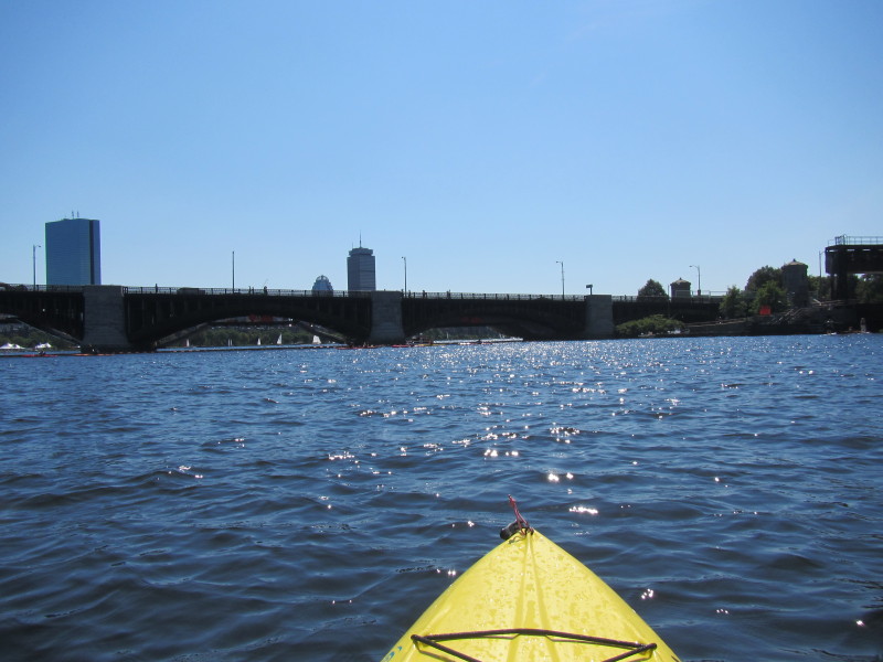
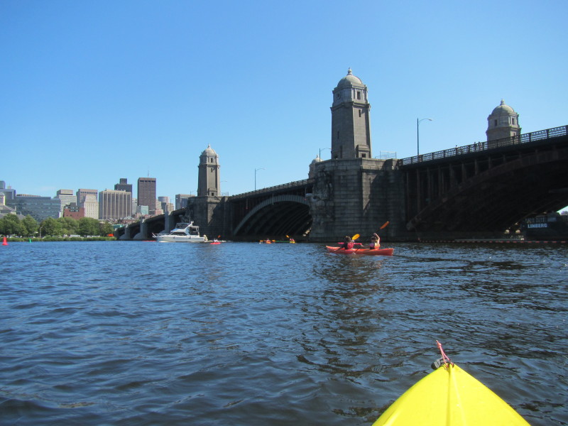
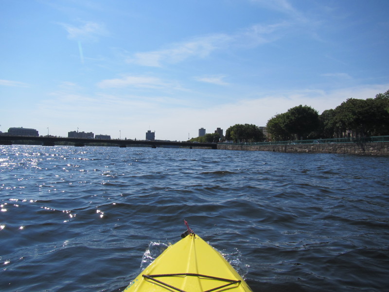
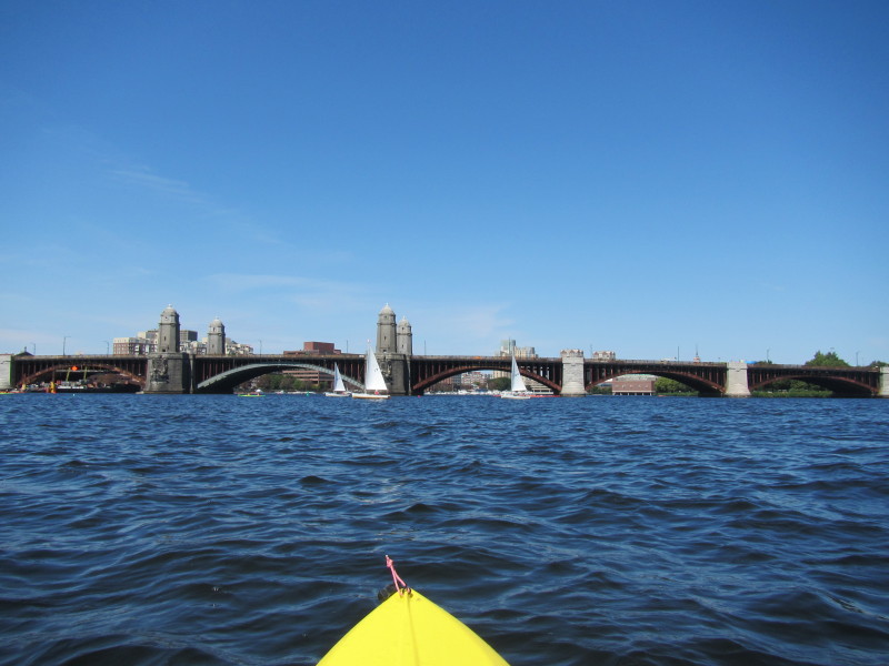 Continuing my eastward paddle, the Longfellow Memorial Bridge.
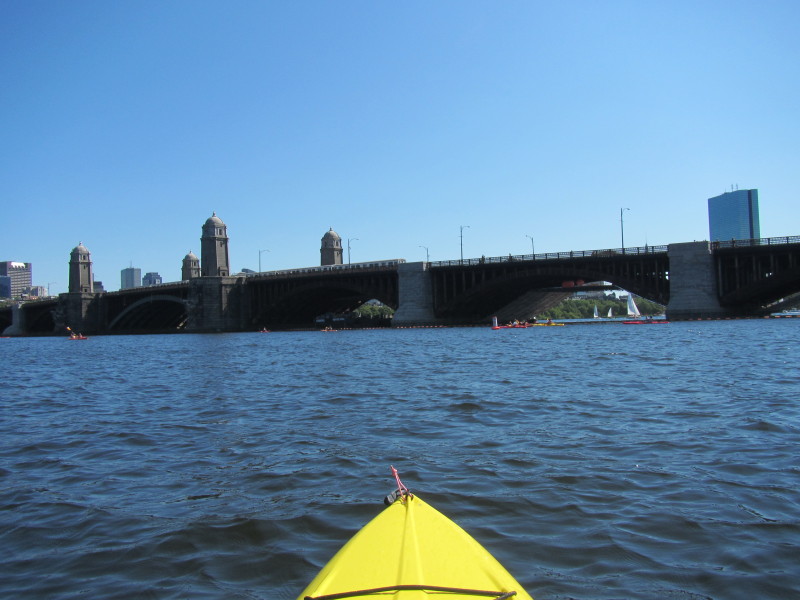
This bridge is also called by the locals as the "salt and pepper" bridge because of the four structures on the bridge. 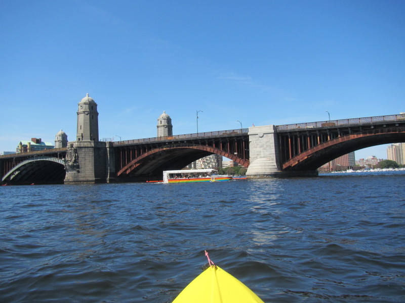 Boston Duck Tour boat.
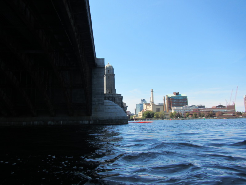
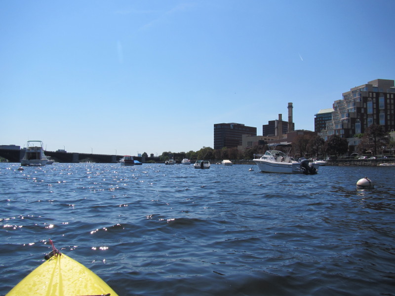
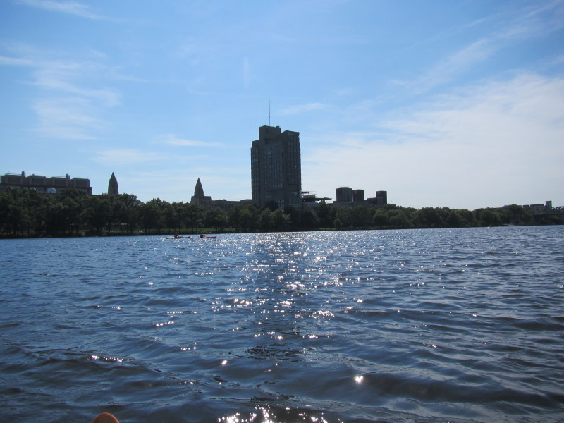
 Past the Longfellow bridge, I can see the Museum of Science building.
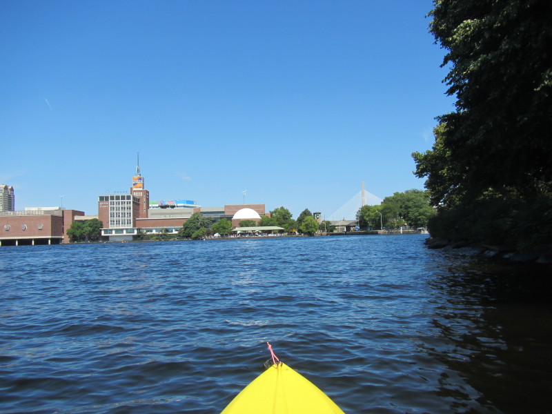
 This is as far eastward as I will paddle today.
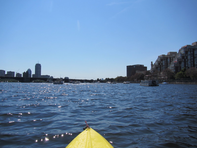
 Heading north to the Cambridge side of the Charles River.
 I will now paddle westward along the Cambridge side back to my original destination.
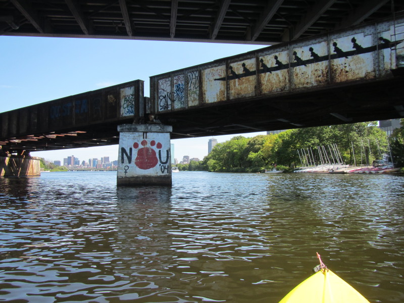
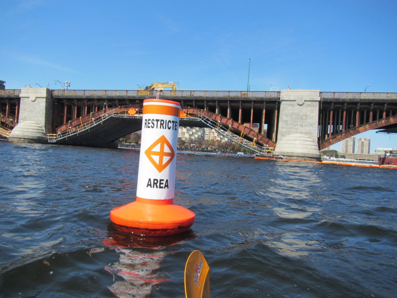
 The northern half of the Longfellow Bridge is fenced off with buouys so all these
kayakers paddling to the middle to go around the cordoned construction area.
The northern half of the Longfellow Bridge is fenced off with buouys so all these
kayakers paddling to the middle to go around the cordoned construction area.
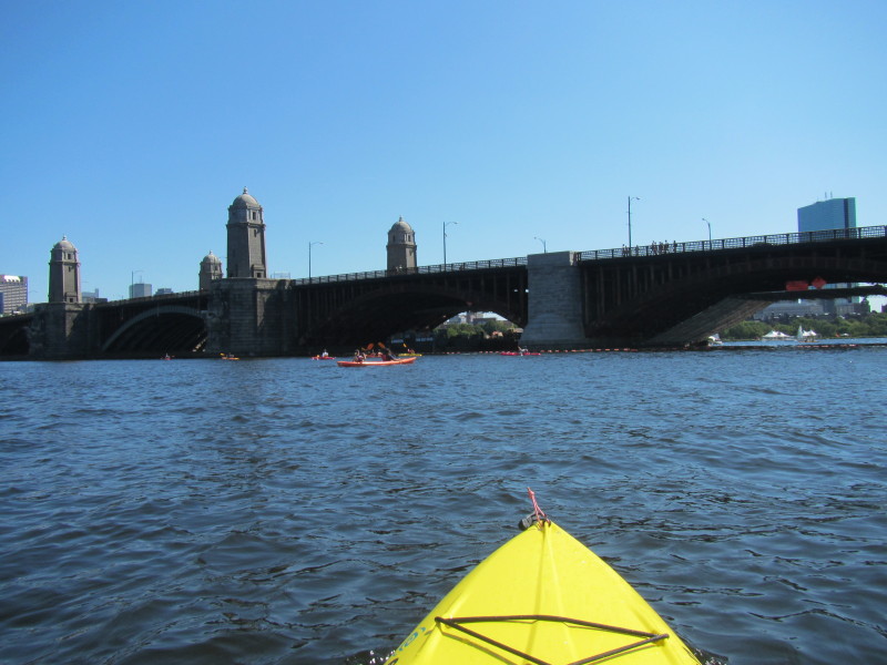
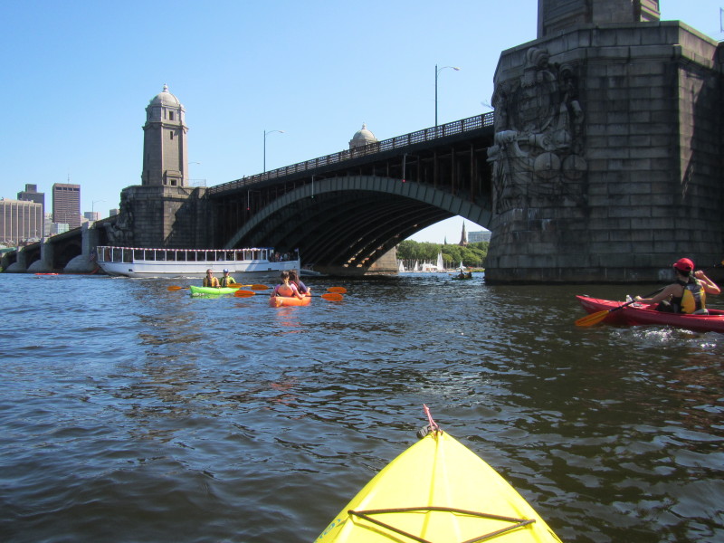
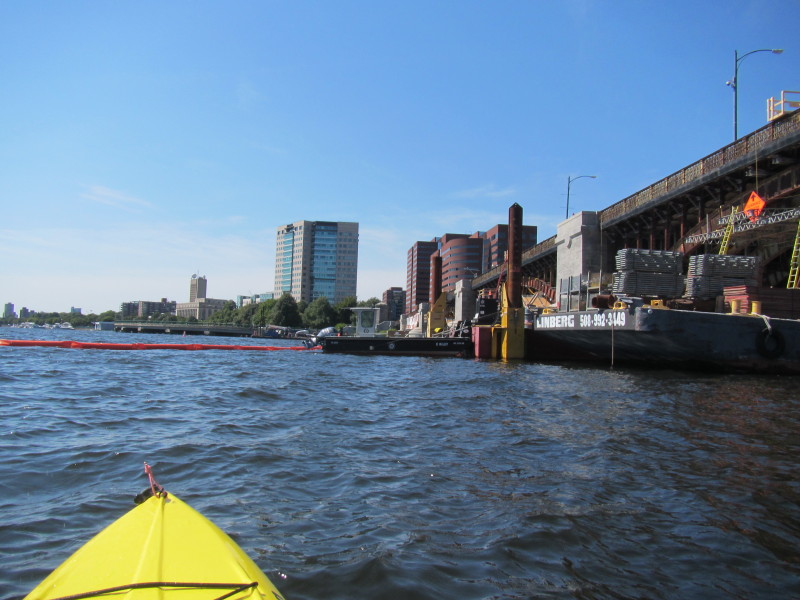 Construction work going on at Longfellow Bridge.
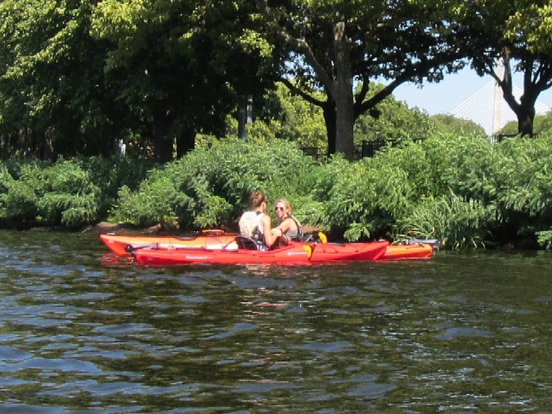
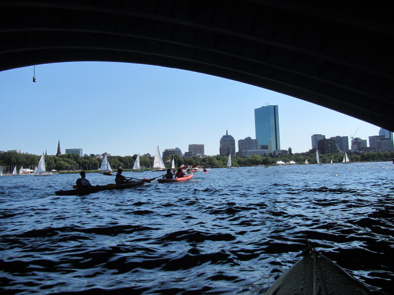
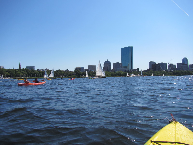
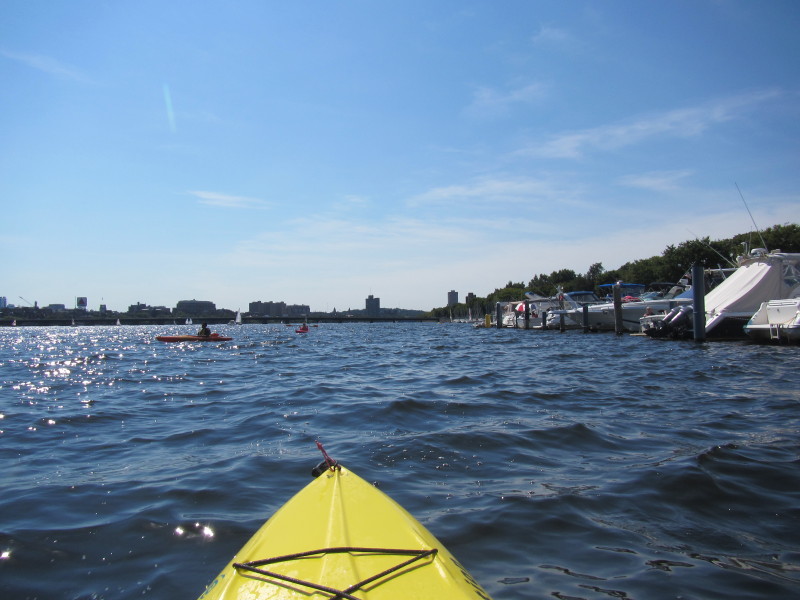
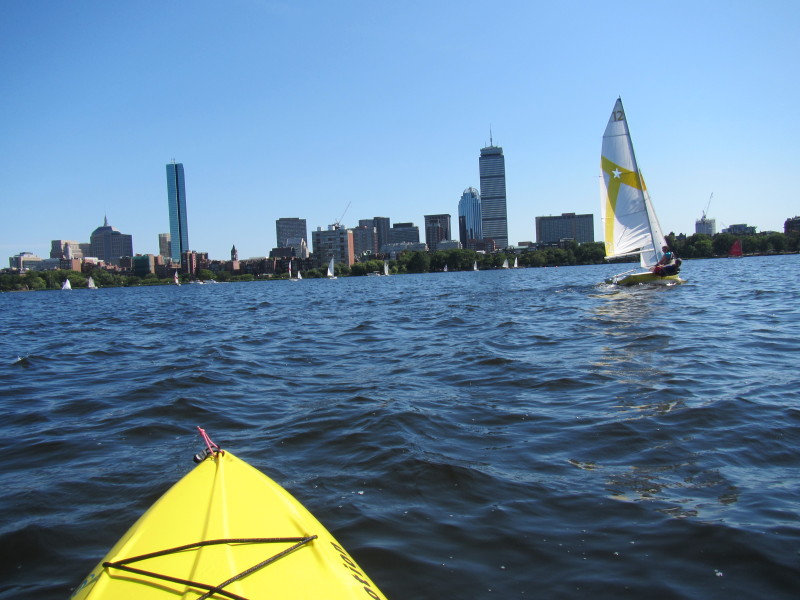
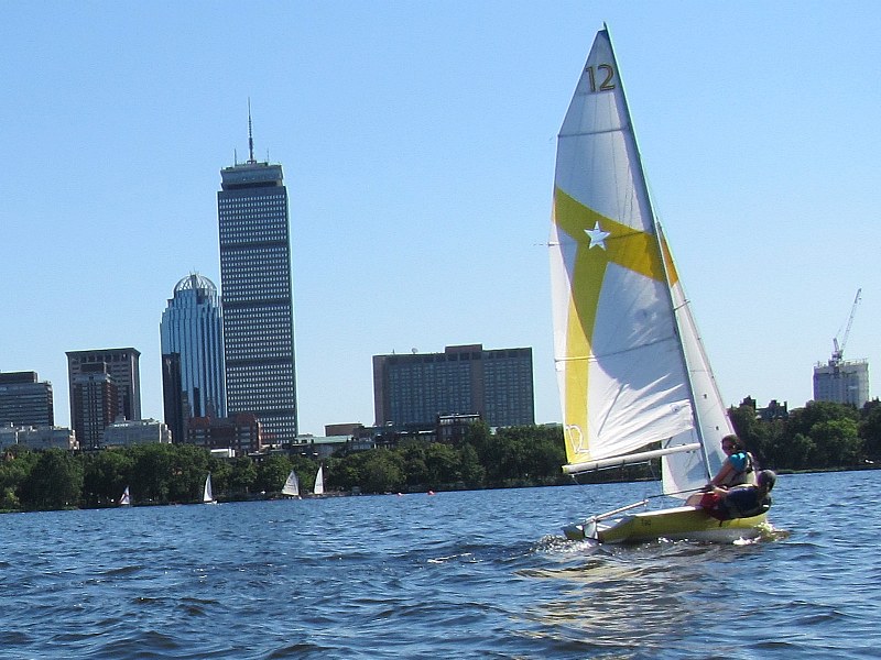
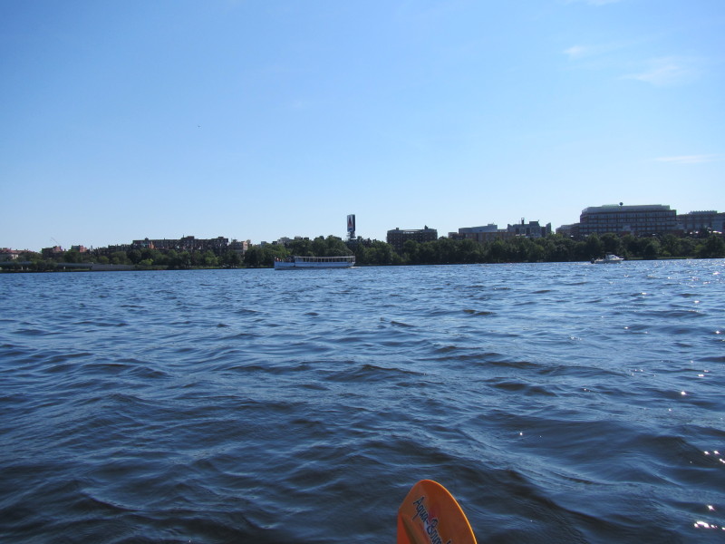
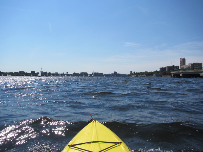 Sailboats on the Charles.
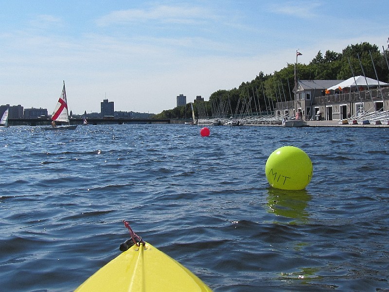 "MIT" as in Massachusetts Institute of Technology.
MIT's domed building is coming up soon on right before the MassAv bridge. 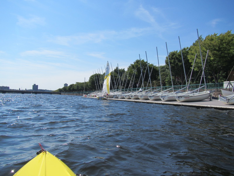
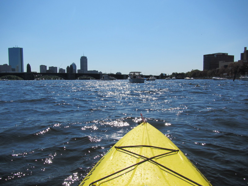
 Continuing westward.
 Memorial Drive is the street parallel to the Charles River on the Cambridge side.
Center of picture is the M.I.T. dome. 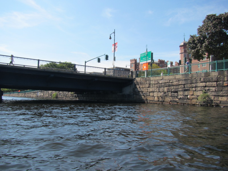 Approaching MassAv bridge.
 To my left, the length of the MassAv bridge.
 Looking behind me on my left.
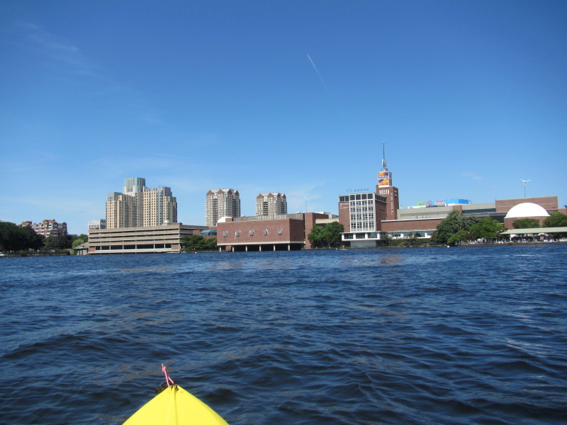
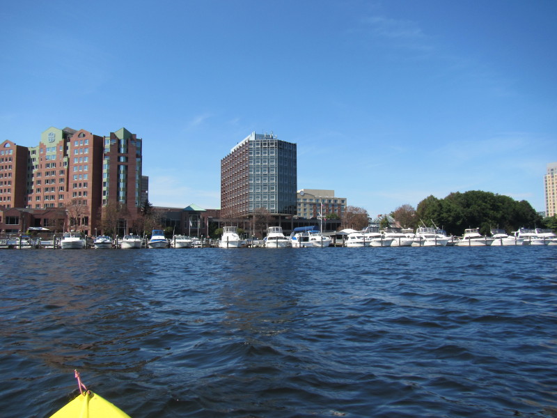
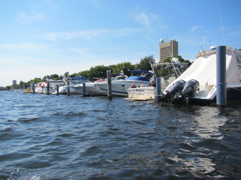
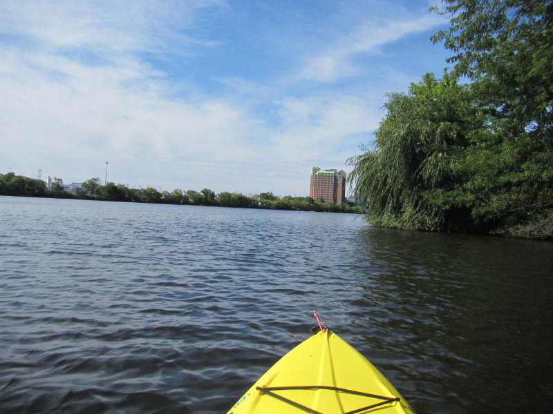
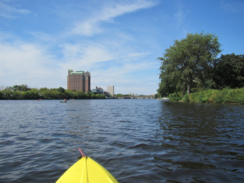
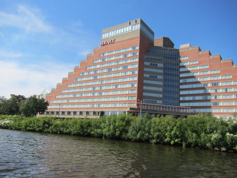 Hyatt Hotel on the Cambridge side.
 The BU bridge coming up.
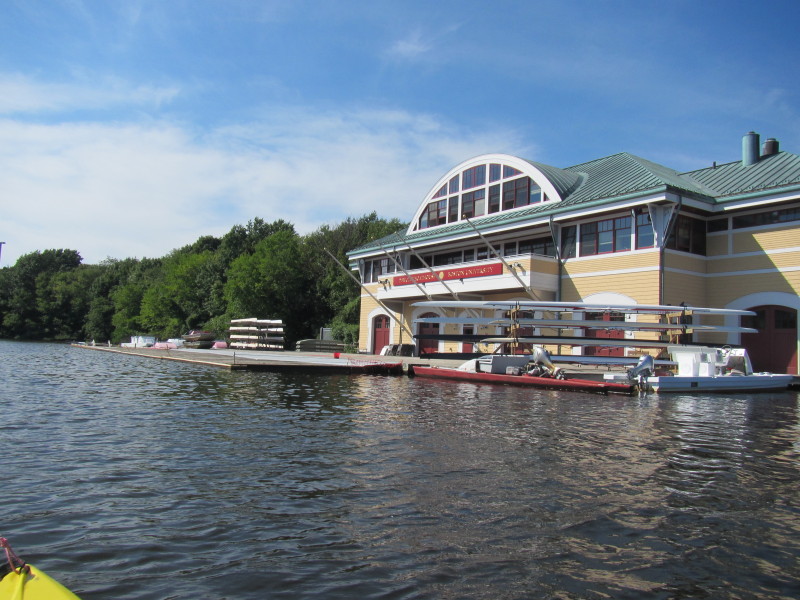
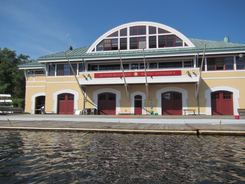 Sign reads: "Dewolfe Boathouse Boston University"

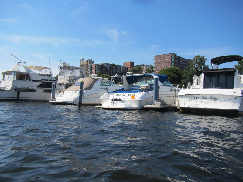
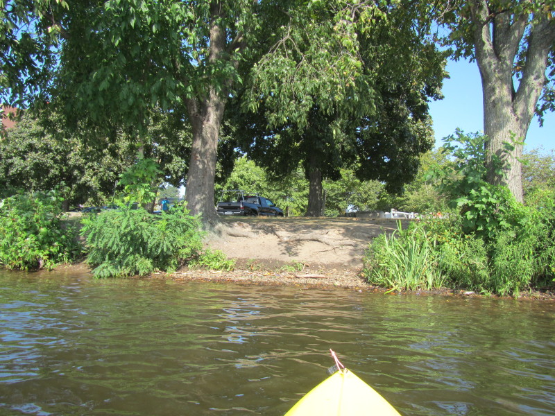 There is my landing and truck.
|