 Kayaker

|


|
Download printer-friendly
PDF version that fits in one page: |

|
|
Other resources:
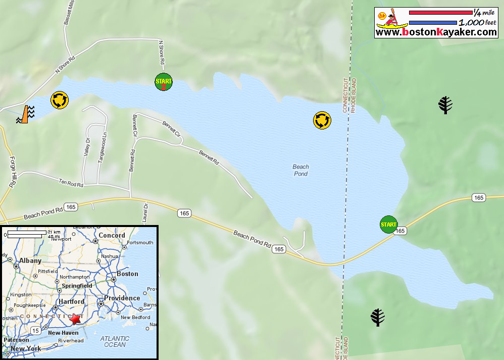
Explore RI's Blueways and Greenways: Beach Pond RI Govt: Beach Pond State Park CT Govt: Beach Pond Ramp on North Shore Road in Voluntown CT All photos in this website are original and copyrighted. 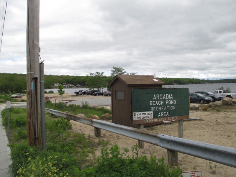 At the Beach Pond access area on Ten Road Road / Route 165 in Exeter RI.
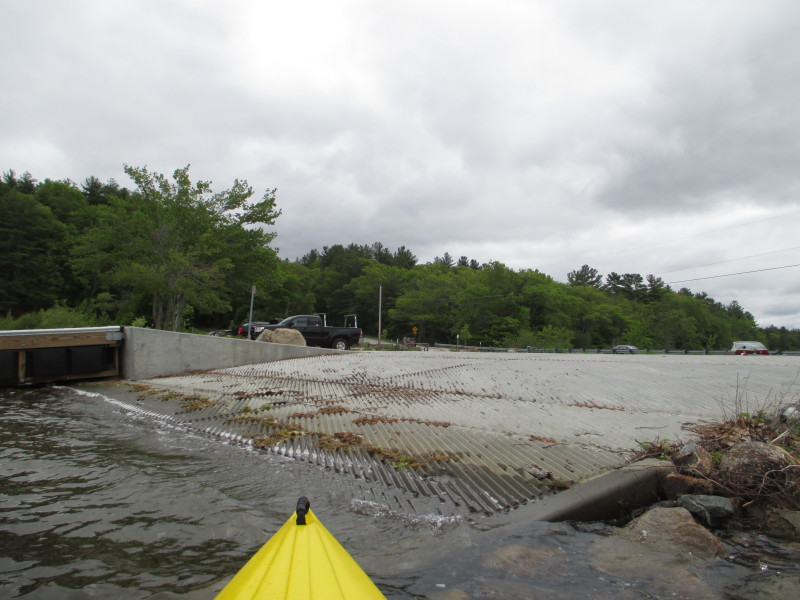
Trip date is May 2017. 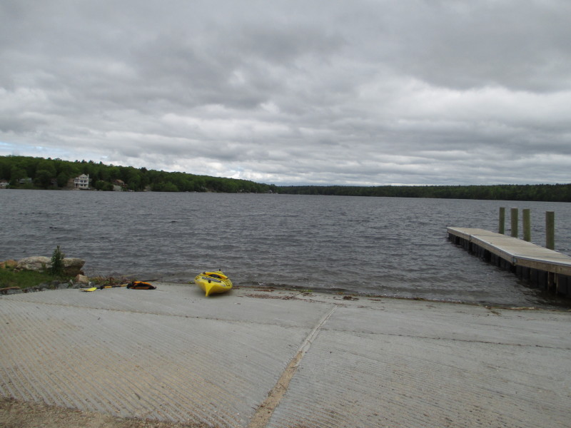 The Beach Pond ramp. Skies are gray.
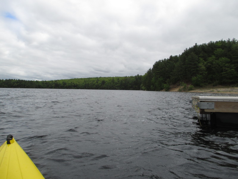
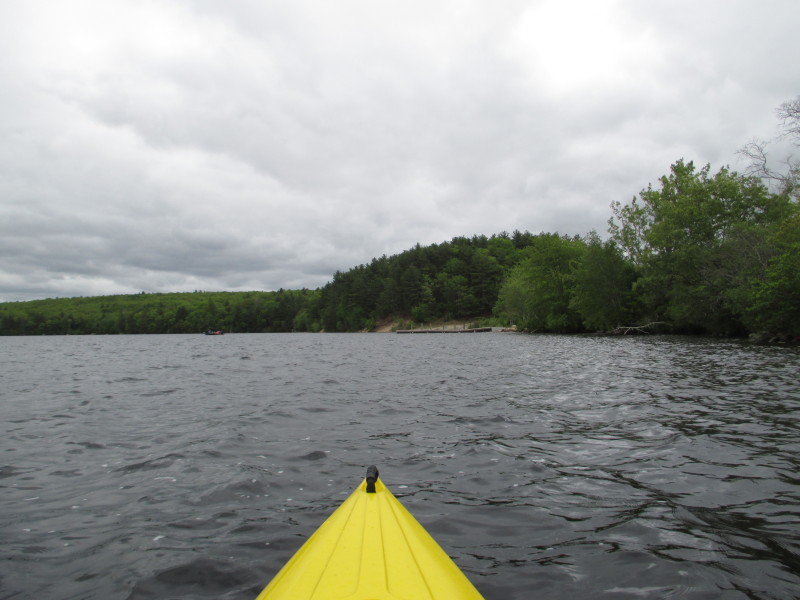
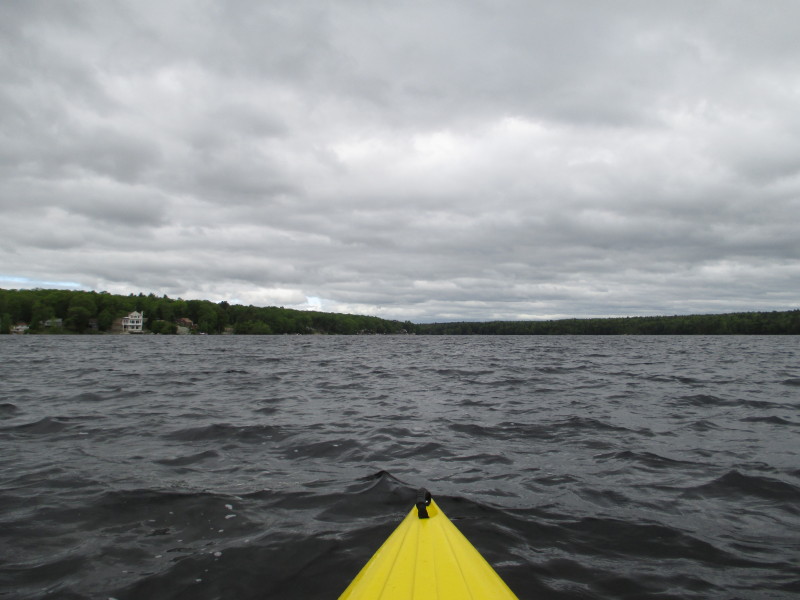 The Boston Kayaker just launched into Beach Pond in Exeter RI.
 Turning to my right, I decided I will round Beach Pond counterclockwise.
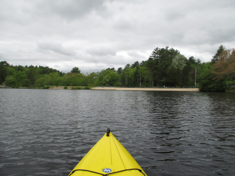
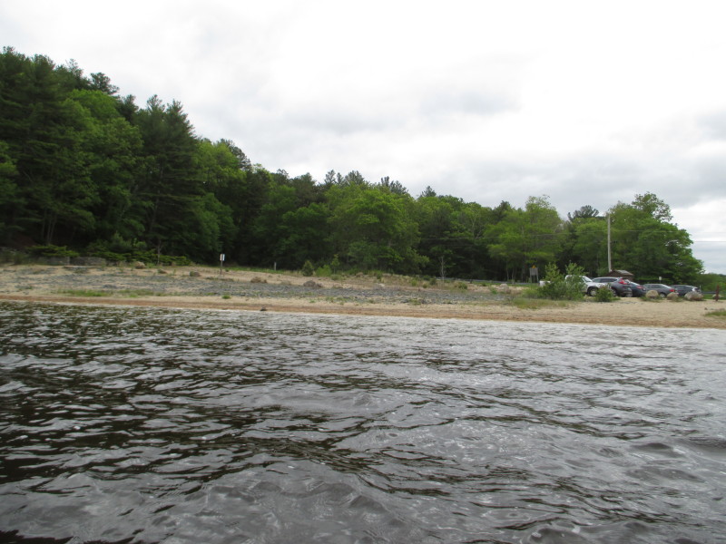 On my right is the access parking area and swimming beach.
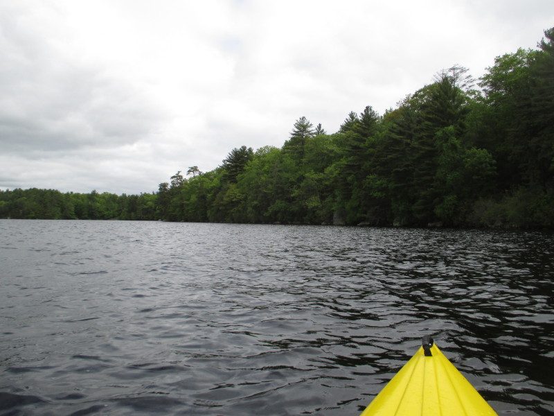
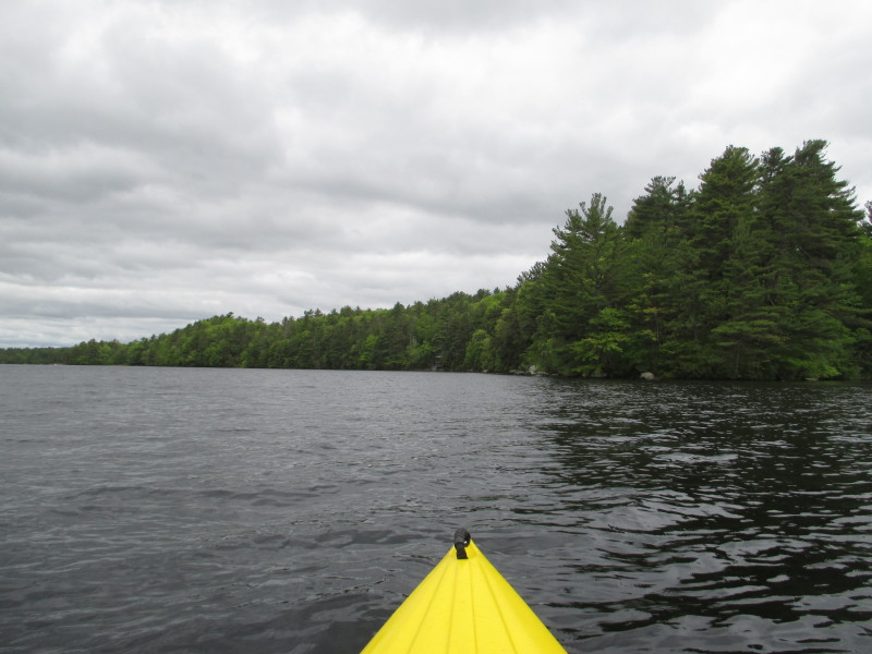
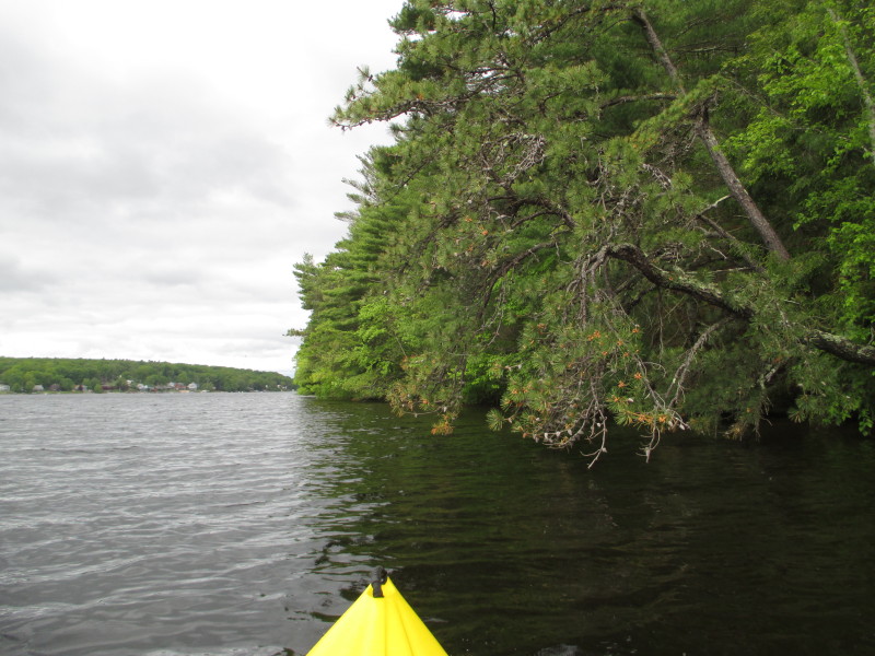
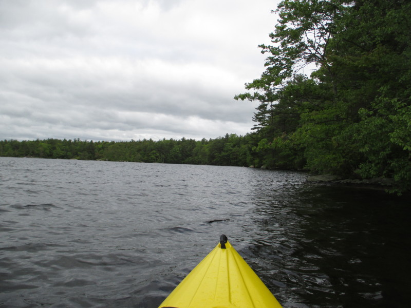
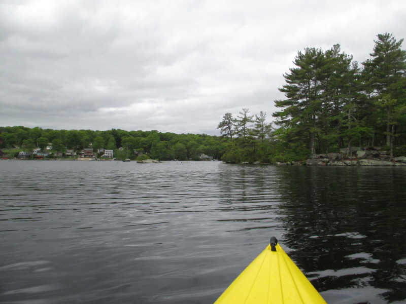
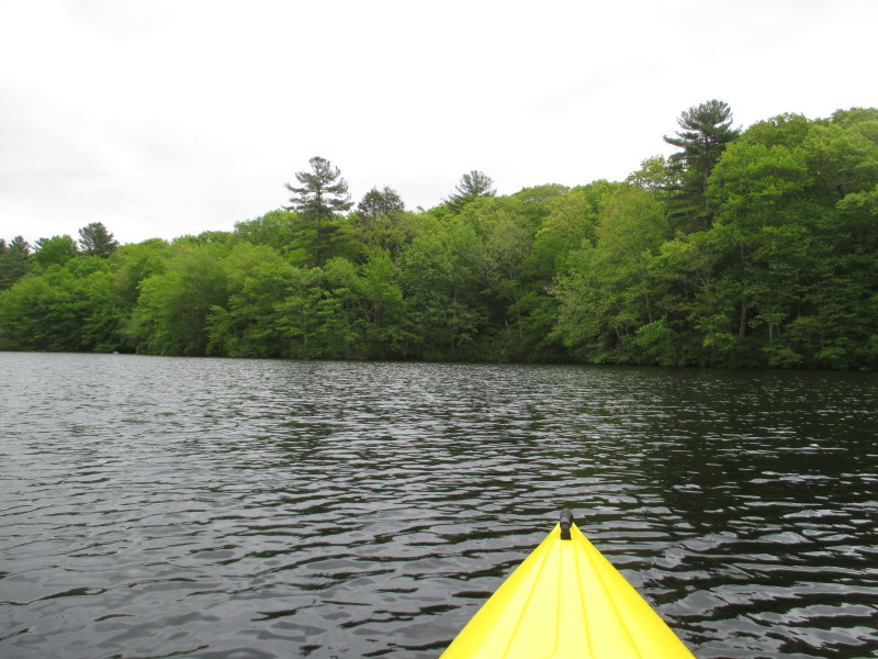
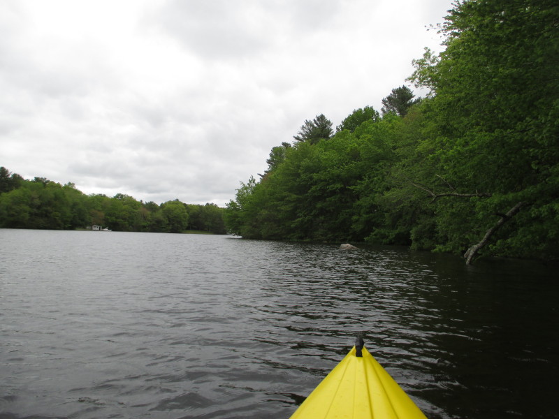
 Facing northwards, the trees of the Beach Pond State Park line the coast.
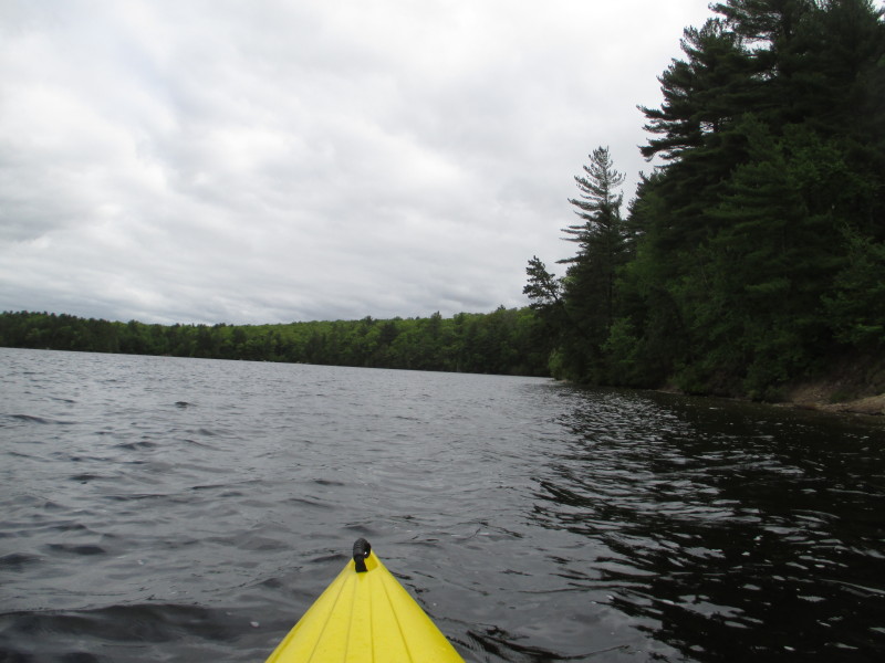
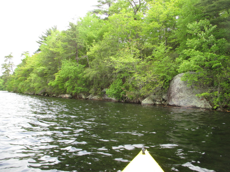
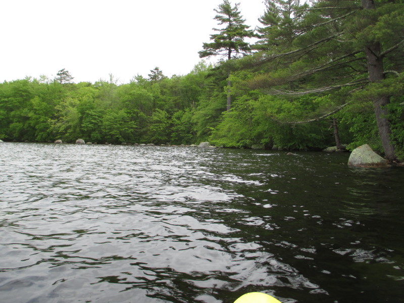
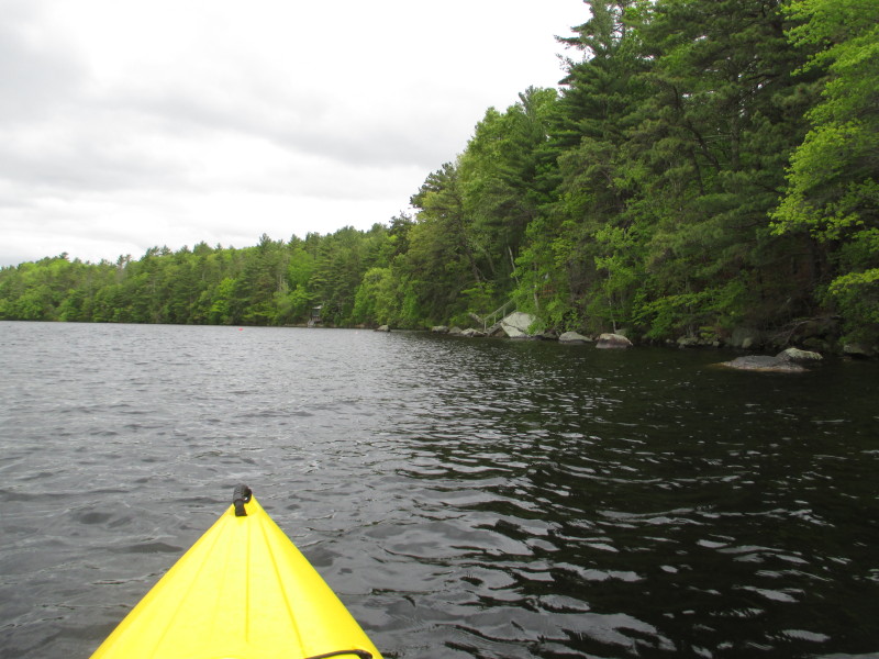
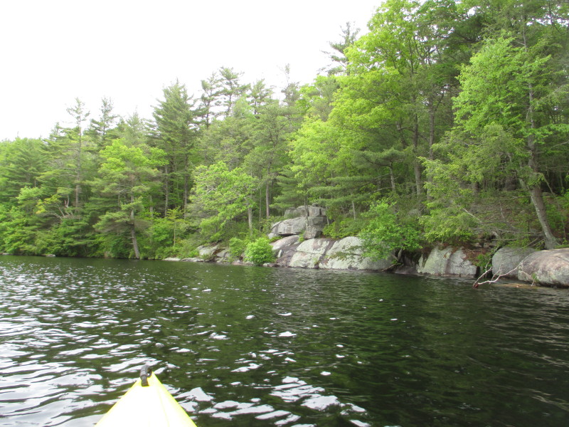
 Keeping close to shore on my right.
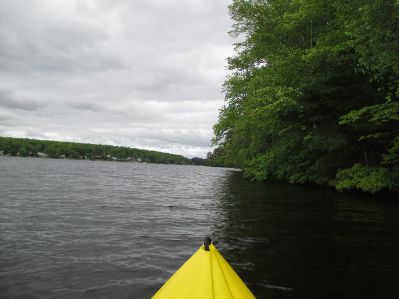
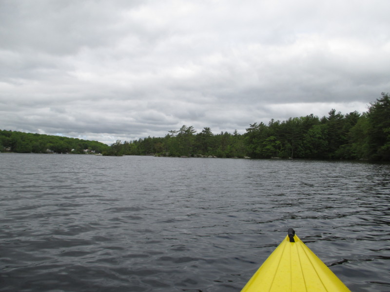
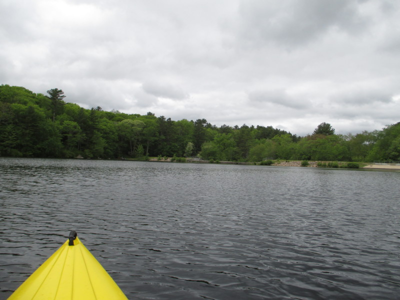
 Looking to my left, the western end of Beach Pond.
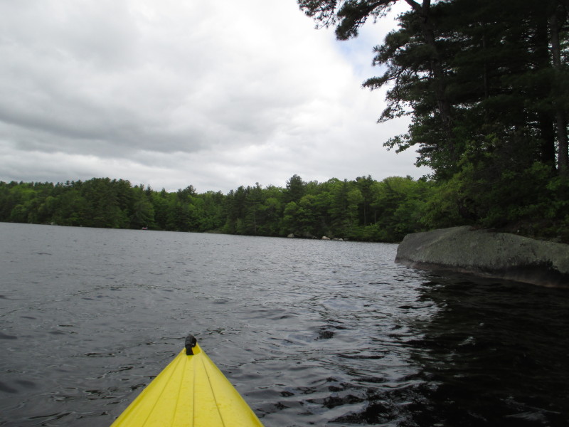
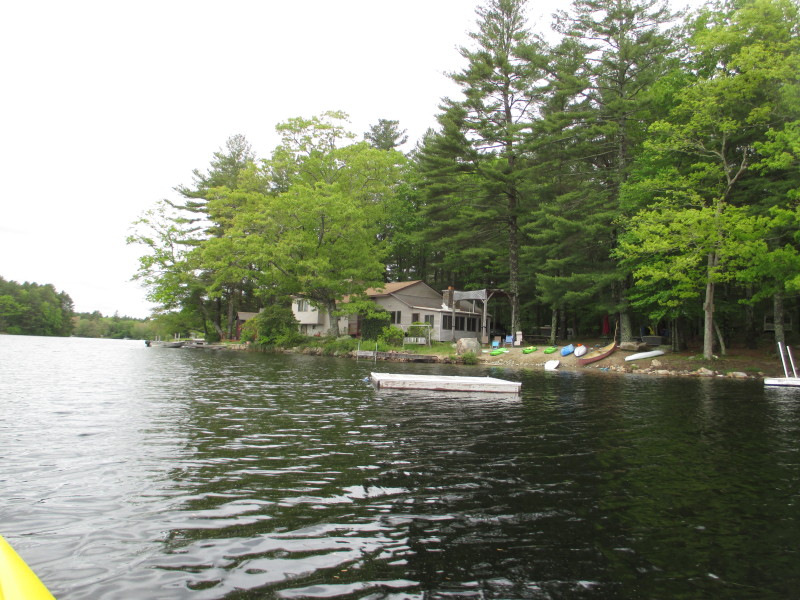
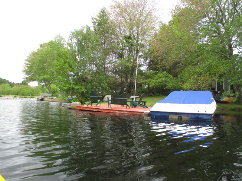
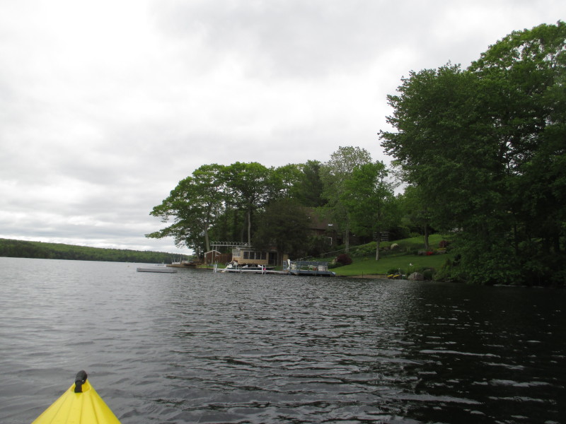
 A cove on my right.
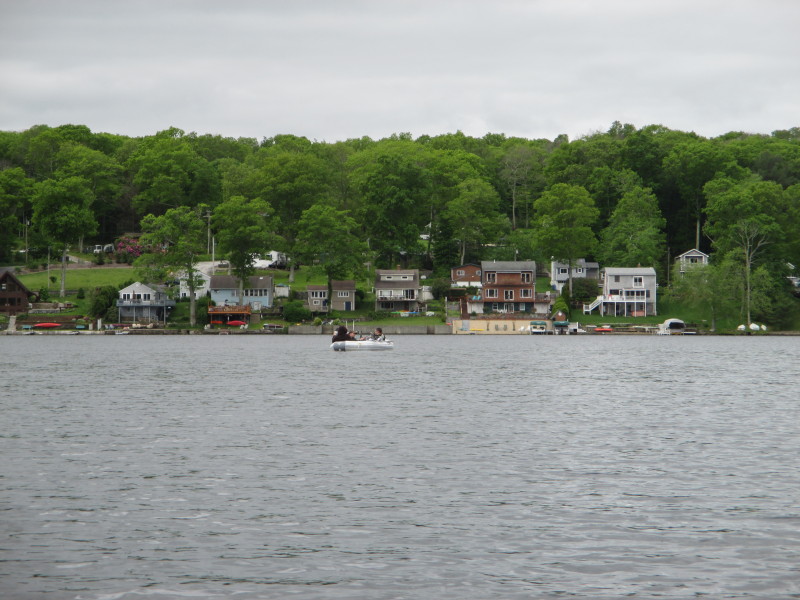
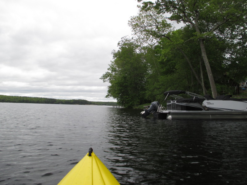
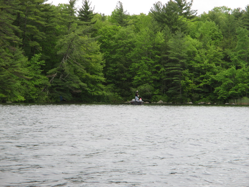 Guys fishing from a boat on Beach Pond.
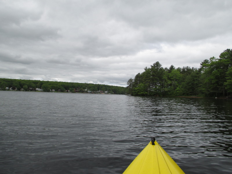
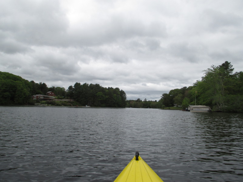
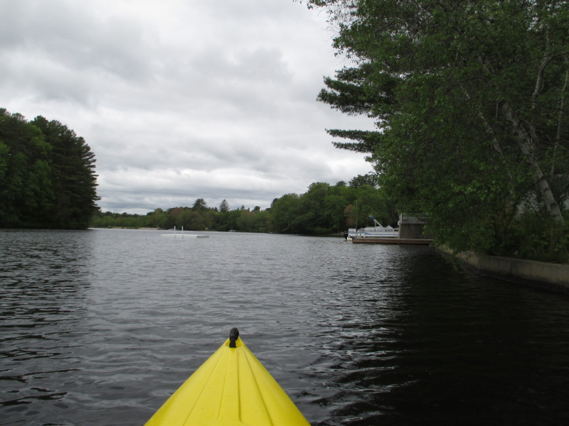
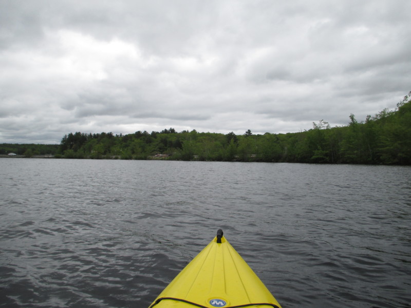
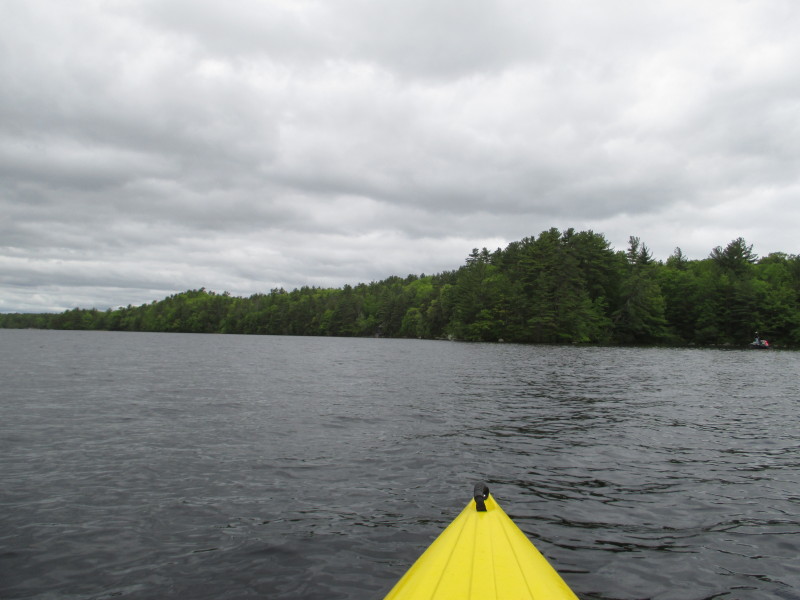 I am now facing westwards.
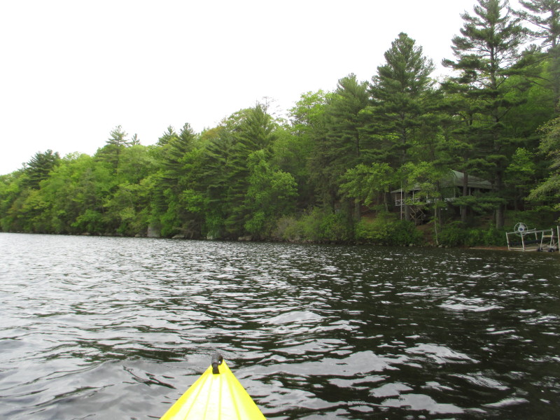
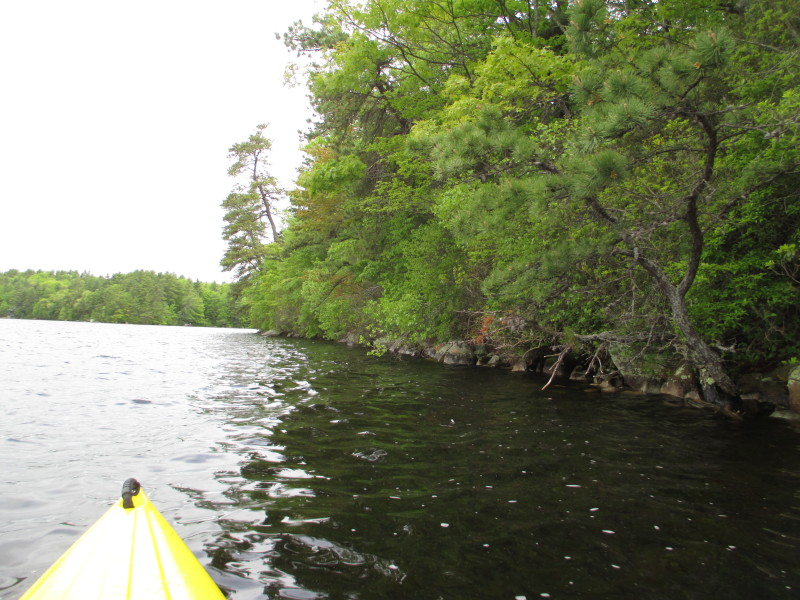
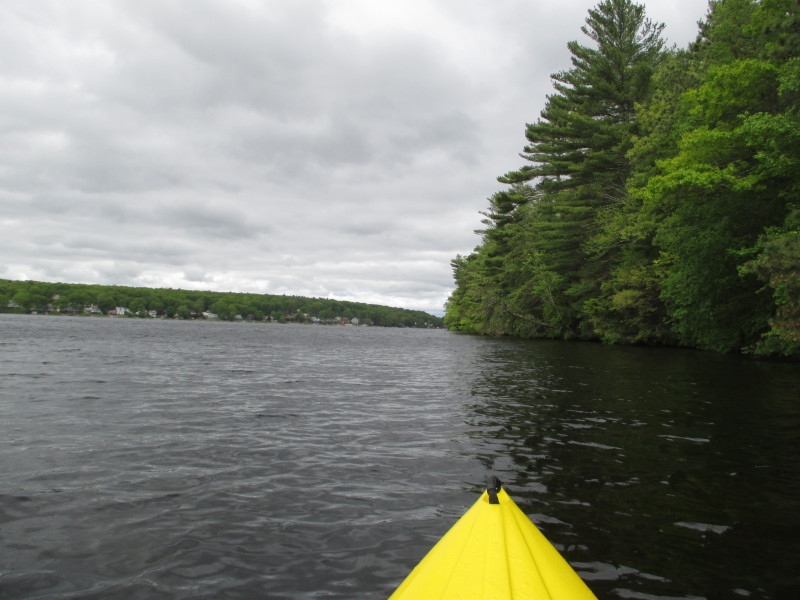
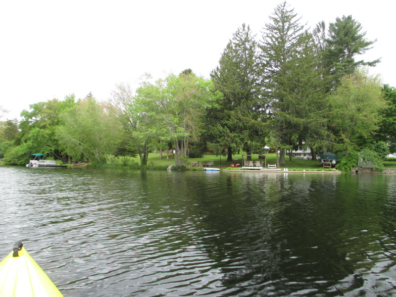
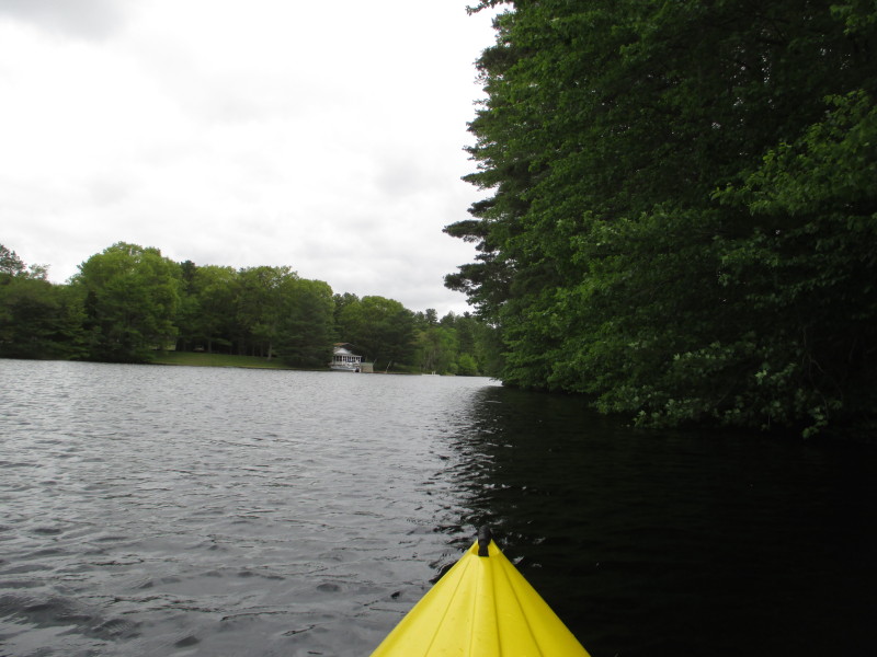
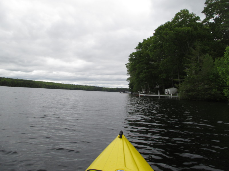
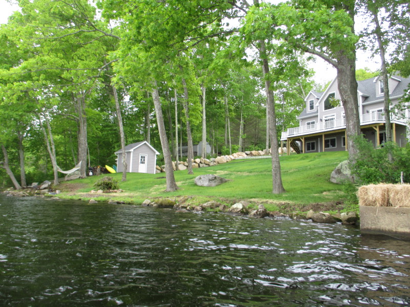
 Continuing westwards, the northern shore on my right.
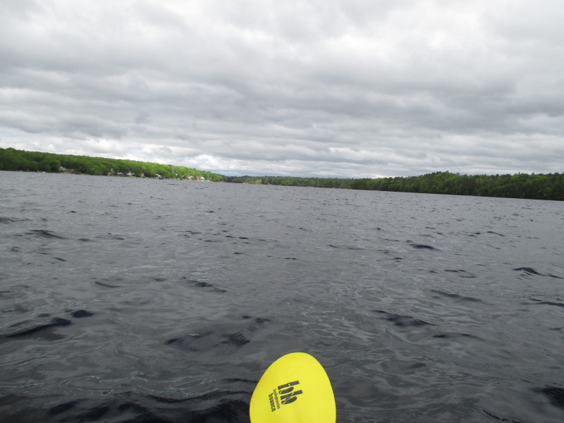
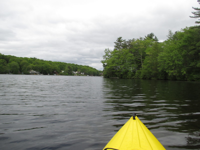
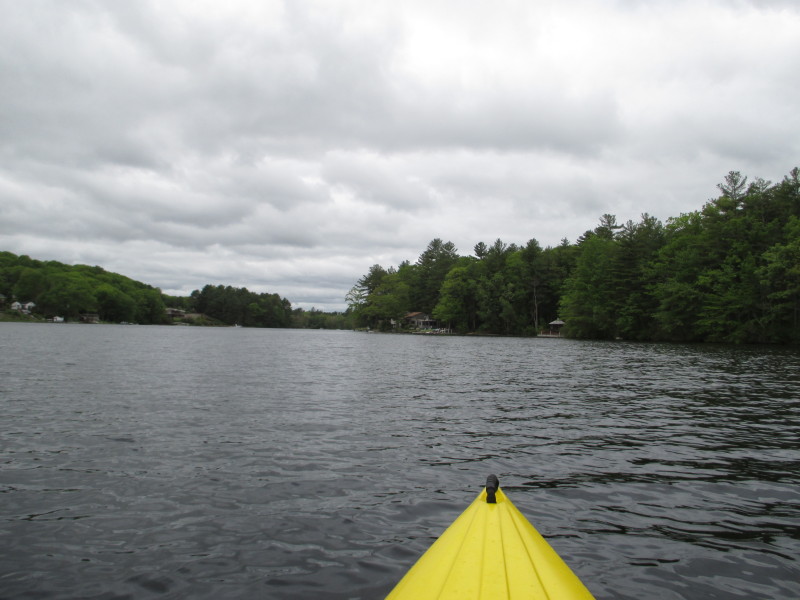
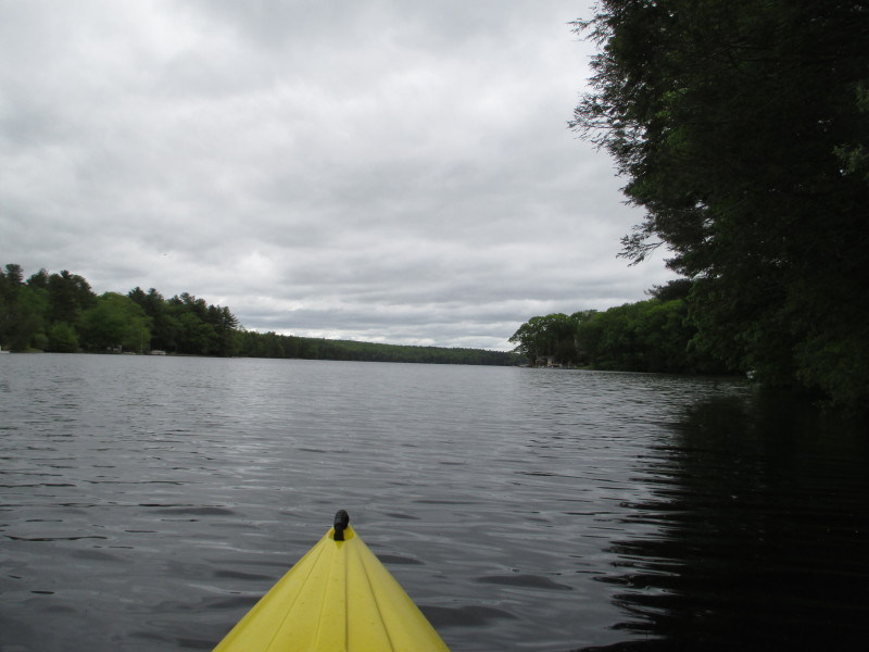
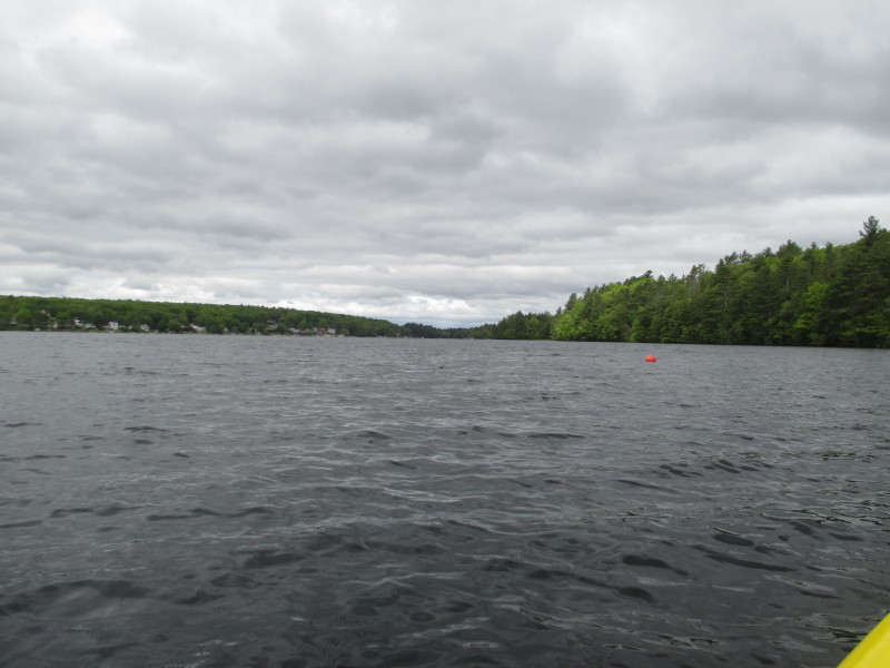 Looking slightly to my left, the west end of Beach Pond.
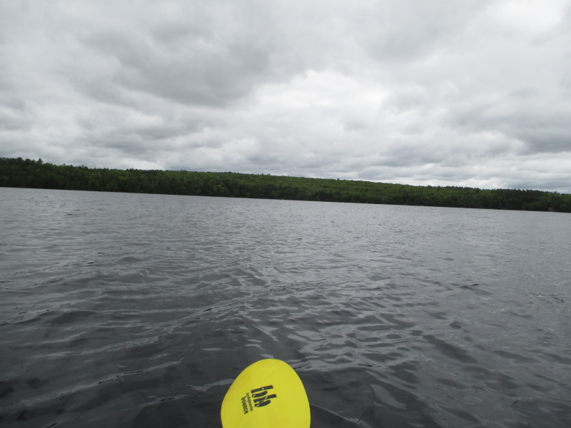
 The skies will dim then later and brighten a bit . . .
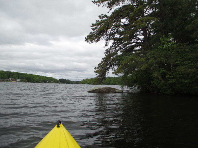
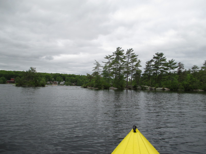
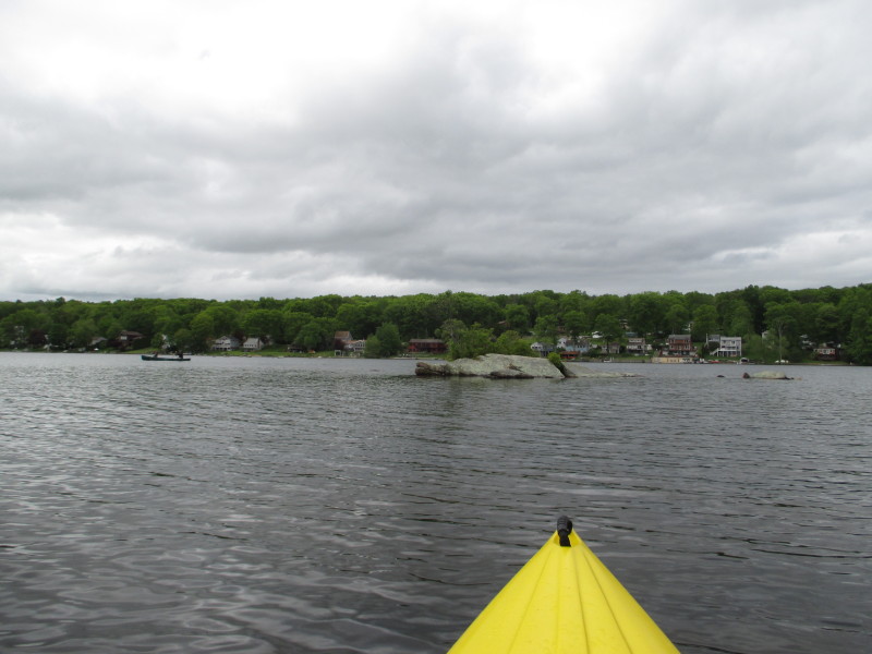
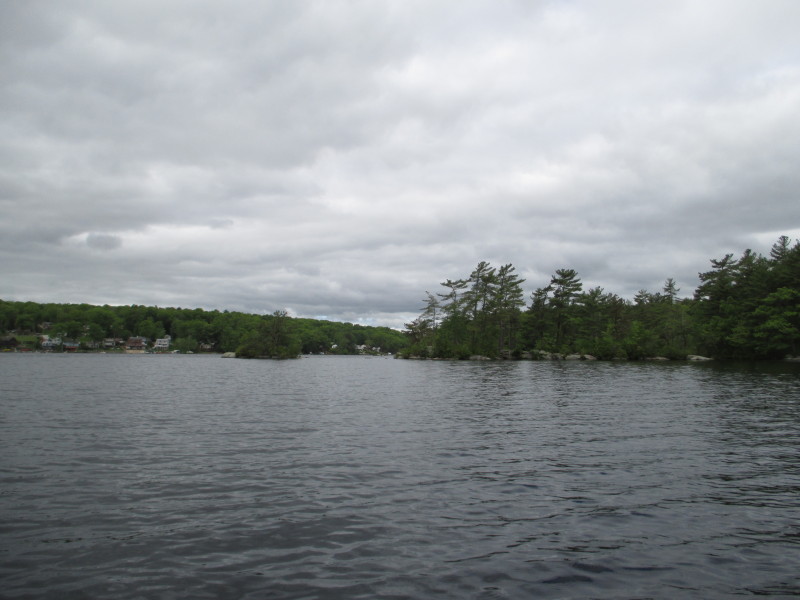 O nice! Some small rocky islands on Beach Pond.
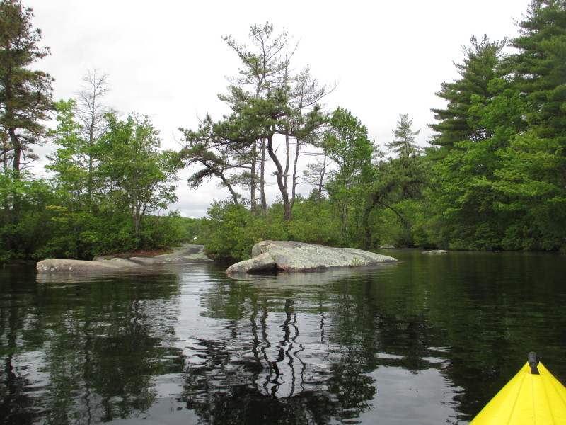 One can land on this island with a smooth rocky area for beaching.
 Looking to my left, a couple on a raft with the south shore in the background.

 Still paddling westwards . . .
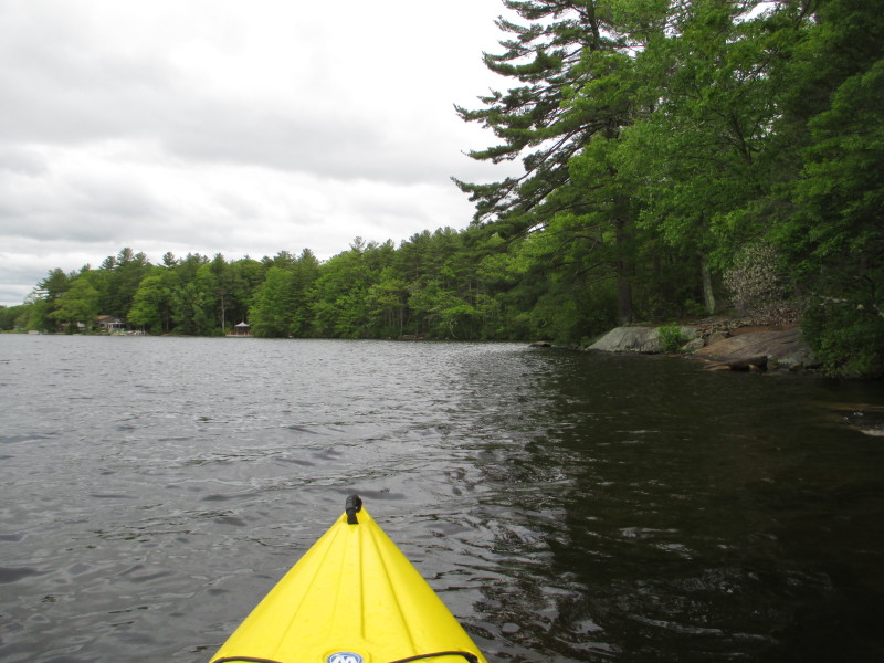
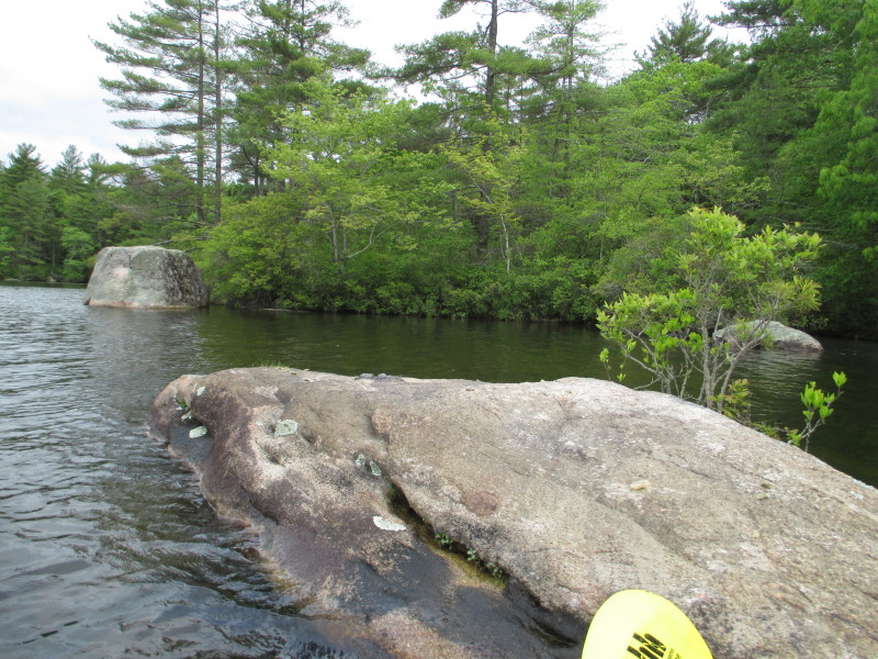
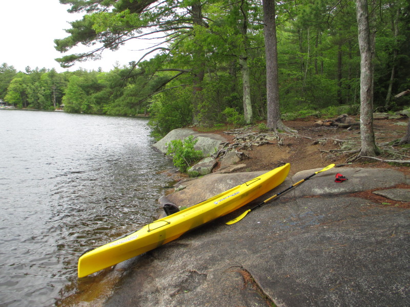 Took a short break on this rocky ledge. There are some old camp fires on this spot.
 Back on the waters of Beach Pond.
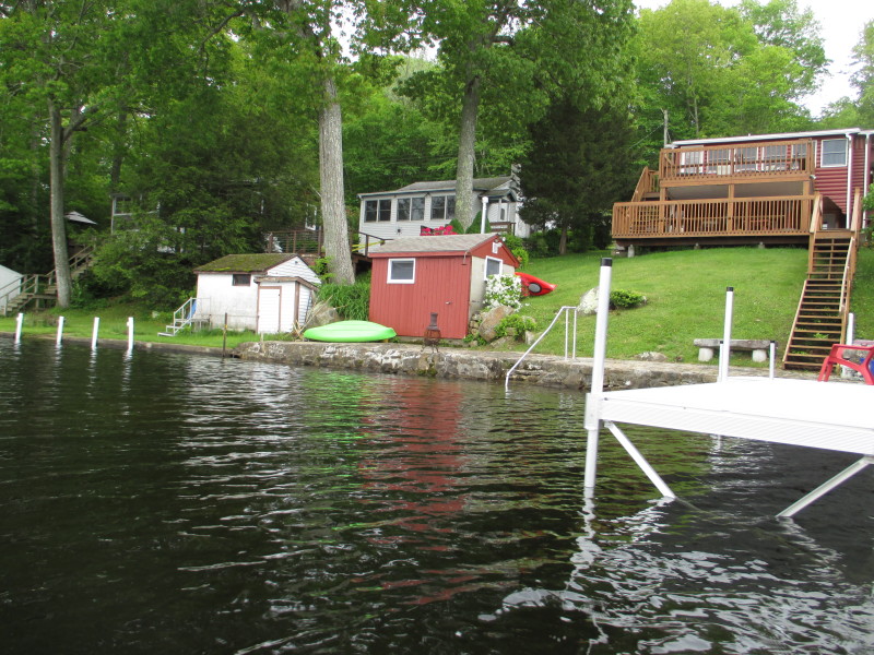
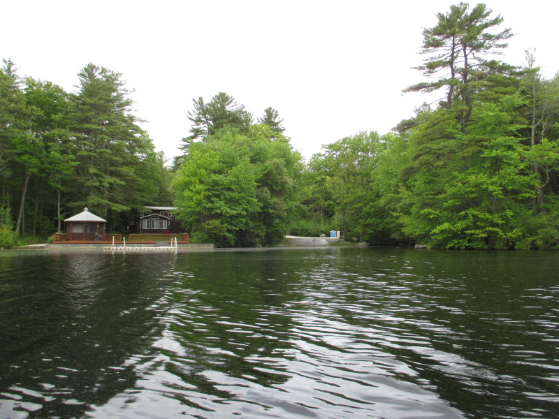 On my right is the North Shore Road alternate access. Note the availability of portable toilets.
 From here, I can see now the Beach Pond Dam which will be the west end point.
 I am now at the wester end of Beach Pond, with the public beach and the dam in front of me.
 Veering to my left, will continue counterclockwise trip.
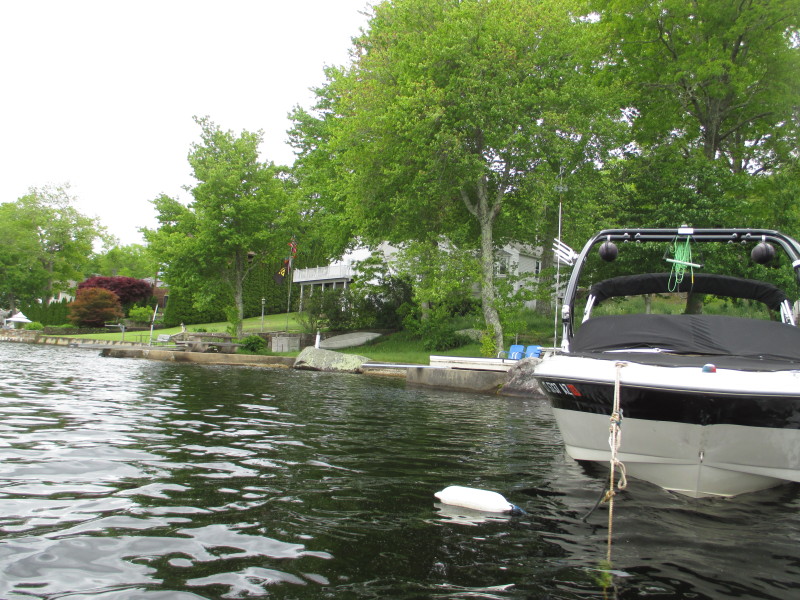
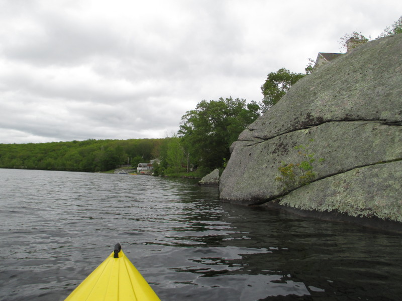
 Approaching the southern shore of Beach Pond.
 Now facing eastwards will keep close the shore on my right.
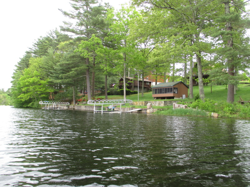

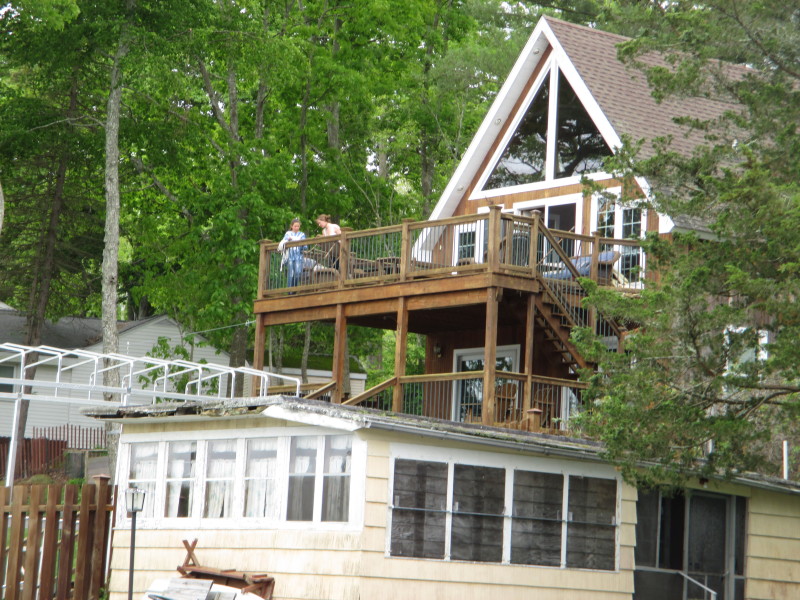
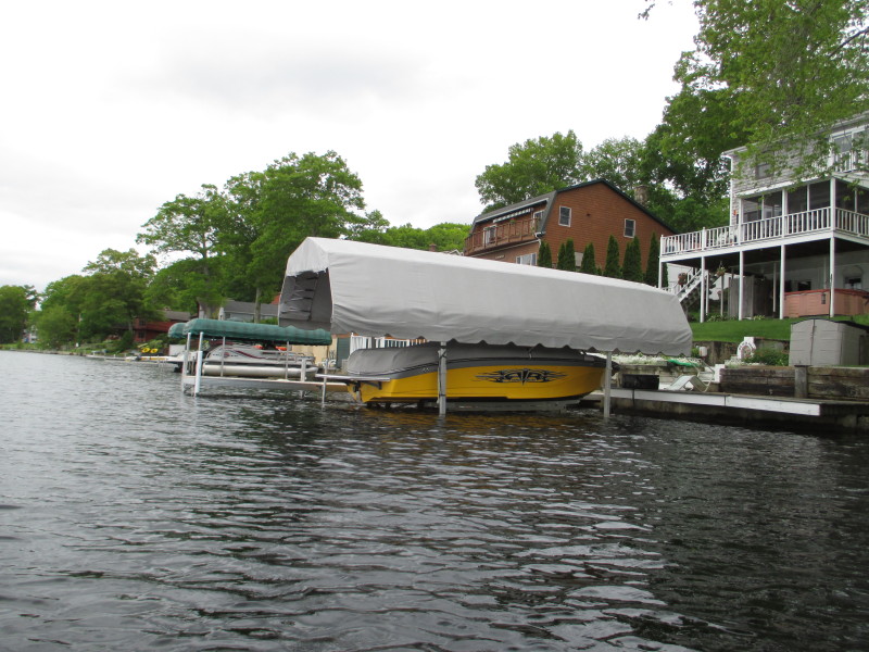
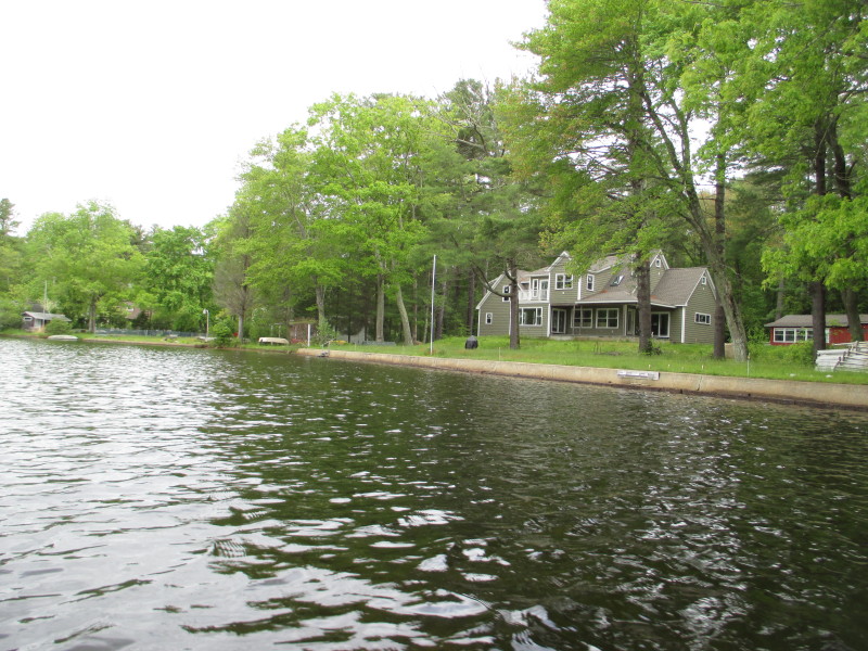
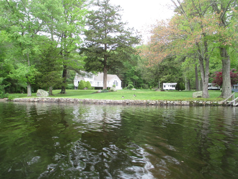
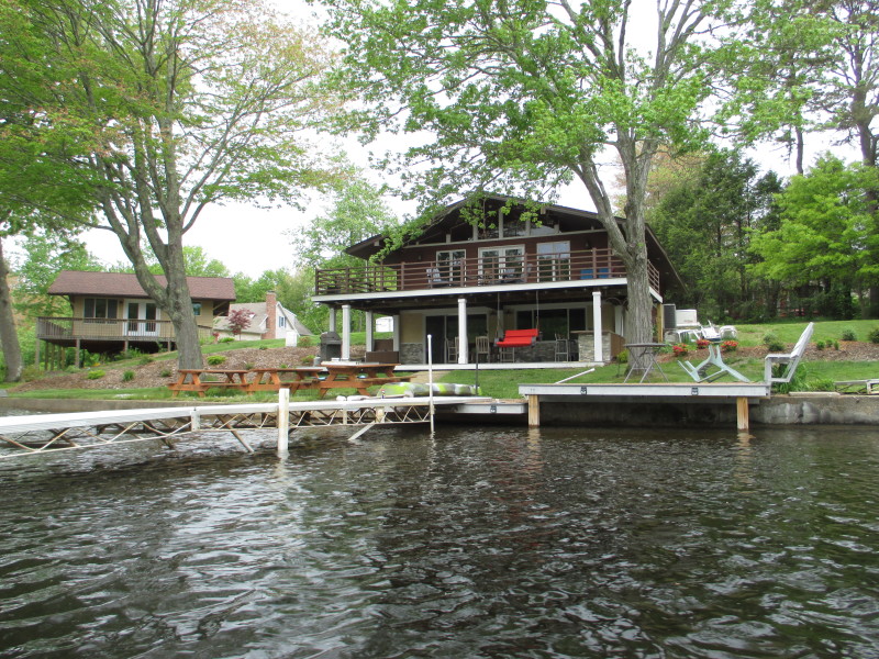
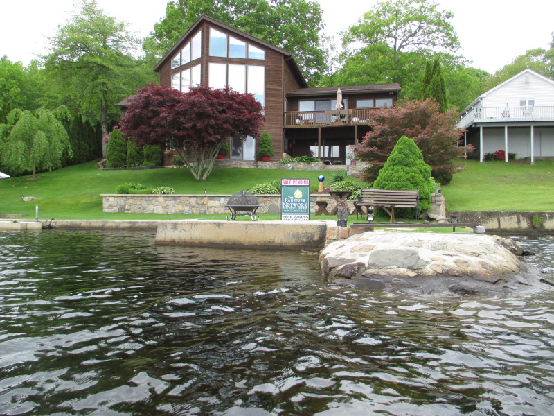
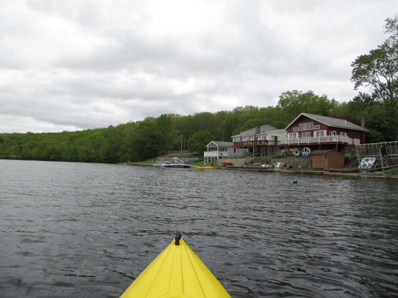
 This one is for sale pending.
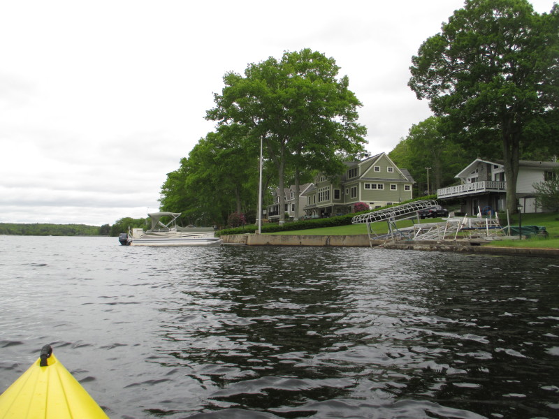
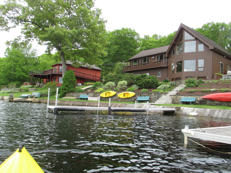
 Looking to my left, the northern shore of Beach Pond.
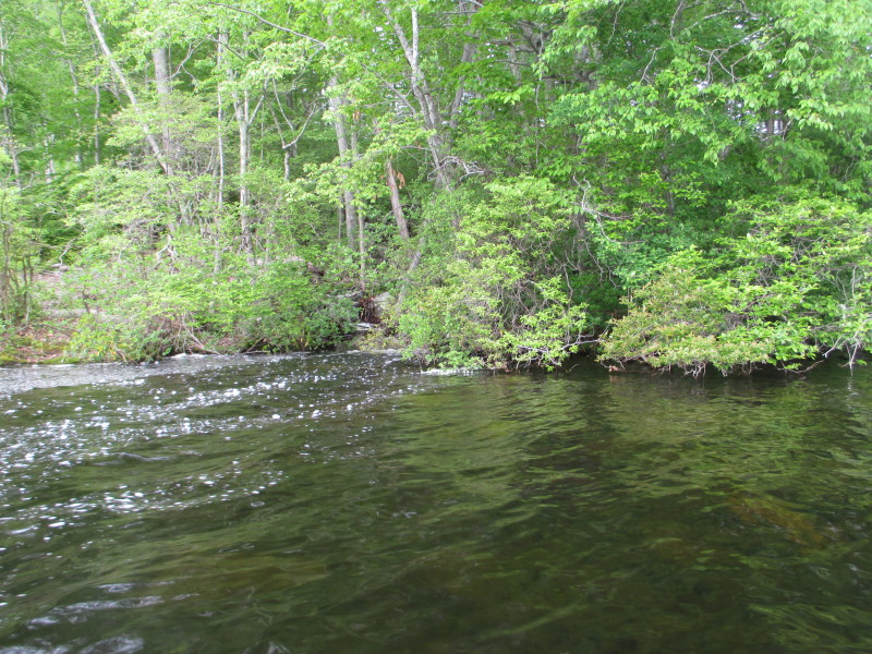 This waterfall stream can be heard and feeds water into Beach Pond.
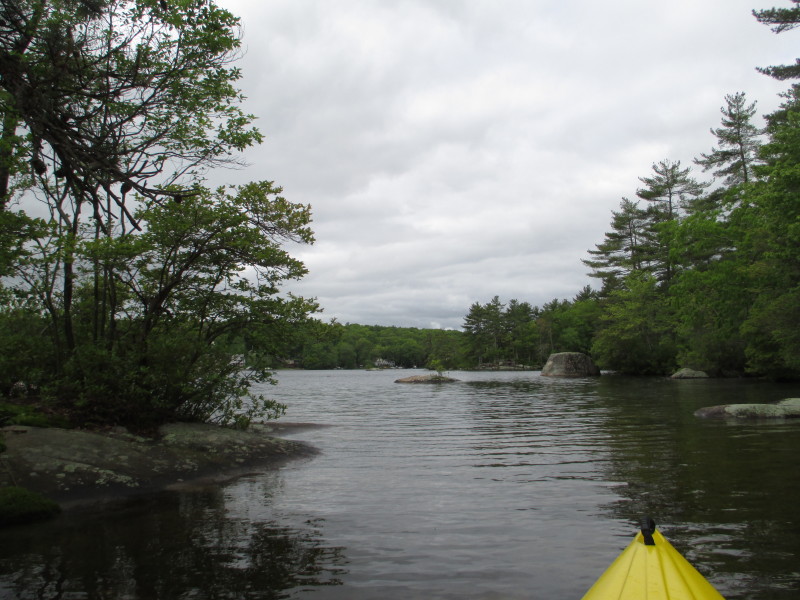
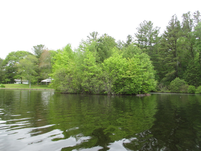
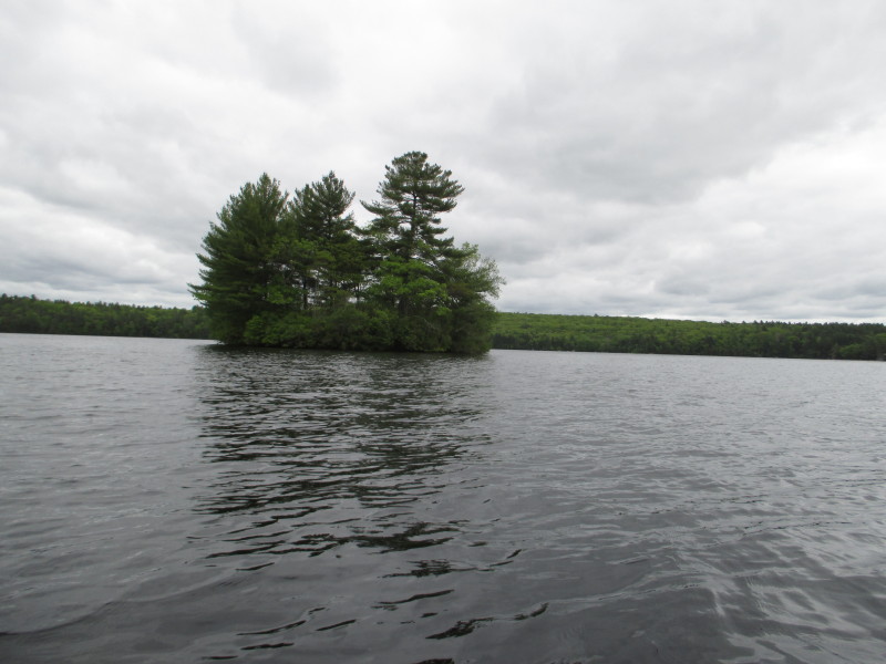 Another island on Beach Pond.
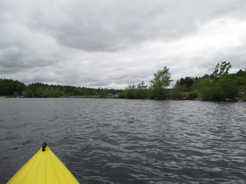 I can now see the cars on Route 165.
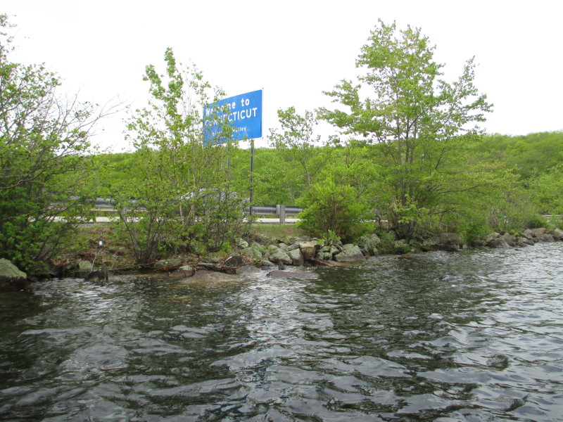 This road mark "Welcome to Connecticut" greets visitors driving west on Route 165.
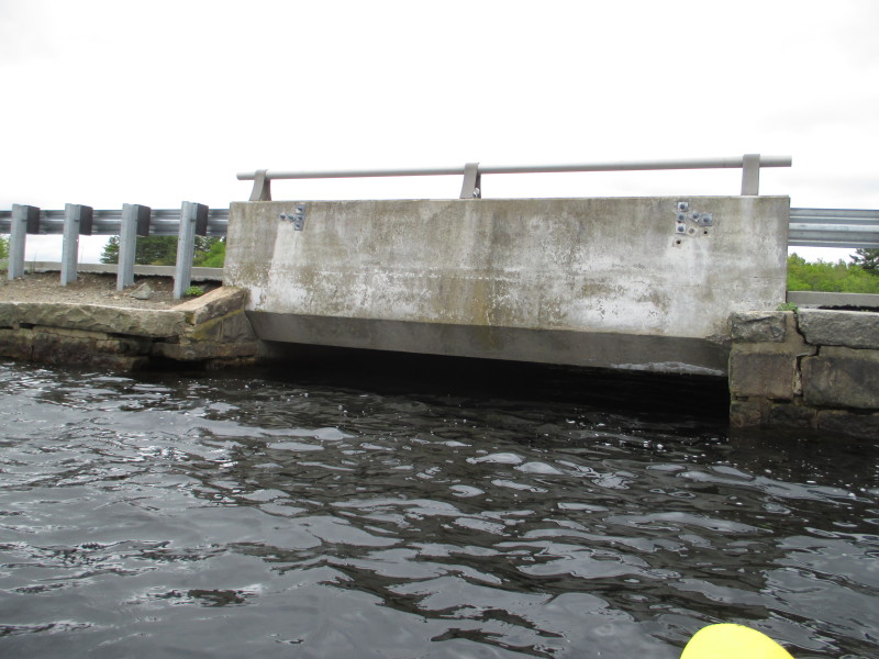 I am guessing the this bridge demarcates the state line.
Rhode Island on the left, Connecticut on the right. 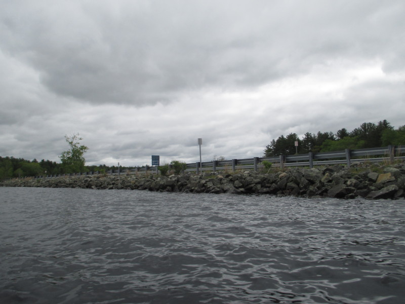
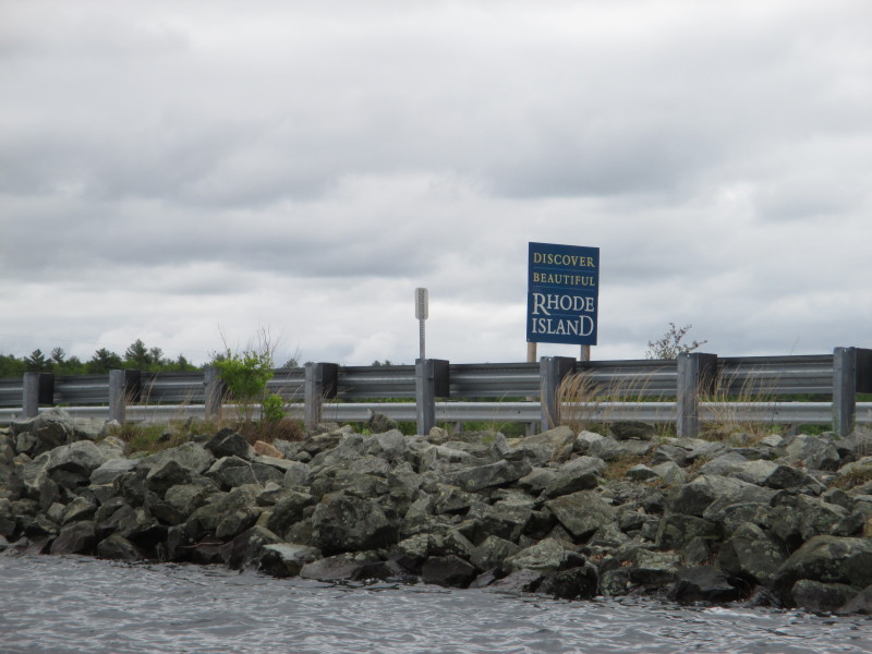 This road mark "Discover Rhode Island" greets visitors driving east on Route 165.
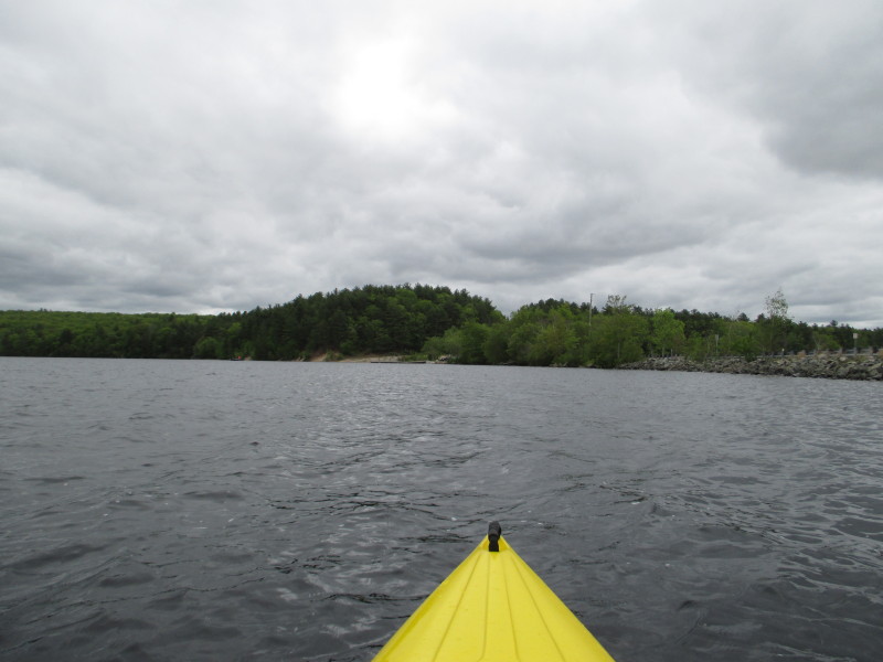 Now heading to the ramp where I launched from.
 Landed. Paddle time is 1 hour 20 minutes.
|