 Kayaker

|


|
Download printer-friendly
PDF version that fits in one page: |

|
|
Other resources:
Paddling.Net: Assabet River Trip Report Organization for the Assabet River Assabet River Pocket Guide Assabet River Pocket Guide (cached copy) US Fish & Wildlife Service: Assabet River National Wildlife Refuge The Concord, Assabet, & Sudbury Wild & Scenic River Stewardship Council Sudbury River Water Trail Honey Pot Hill Orchard Wikipedia: Assabet River All photos in this website are original and copyrighted. 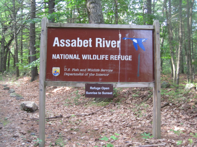 Trip taken August 2011.
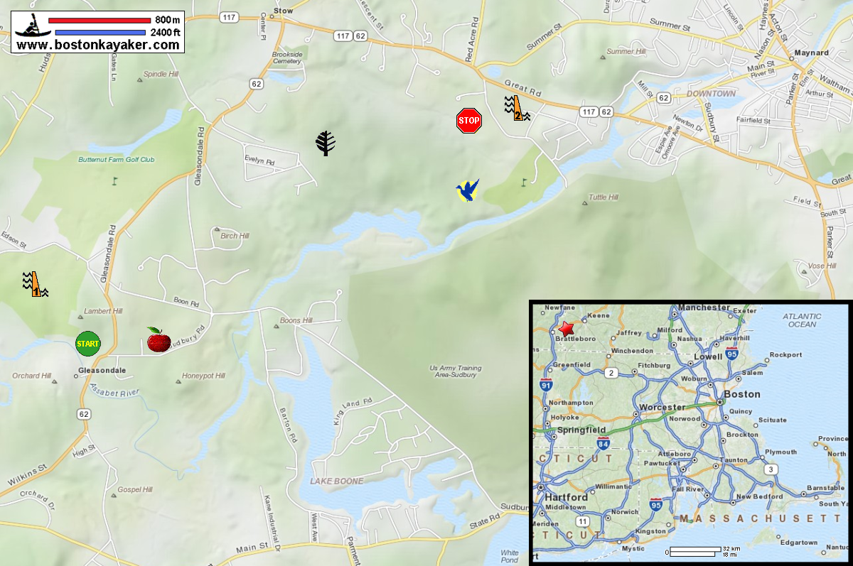
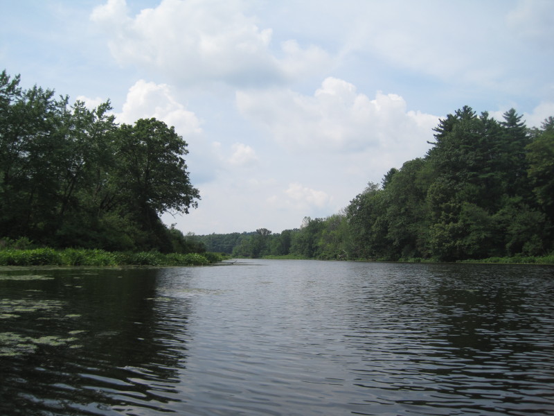
At the entrance to Assabet NWR on the south side of the White Pond bridge. 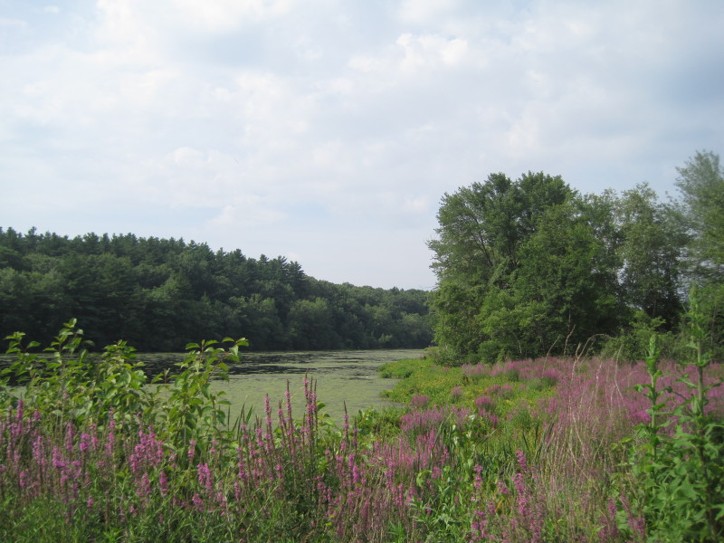 I went by myself on this trip and kayaked the route in the map above from the designated
take out at White Pond Road, upriver to Gleasondale and then back again to where I started.
I went by myself on this trip and kayaked the route in the map above from the designated
take out at White Pond Road, upriver to Gleasondale and then back again to where I started.
 At the launch spot on the north side of the White Pond Road bridge in Stow MA.
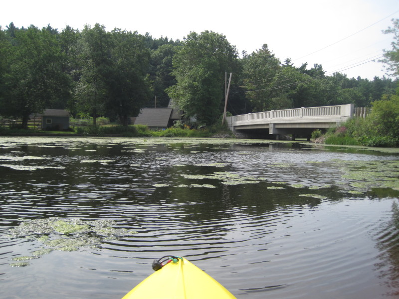 White Pond Road bridge.
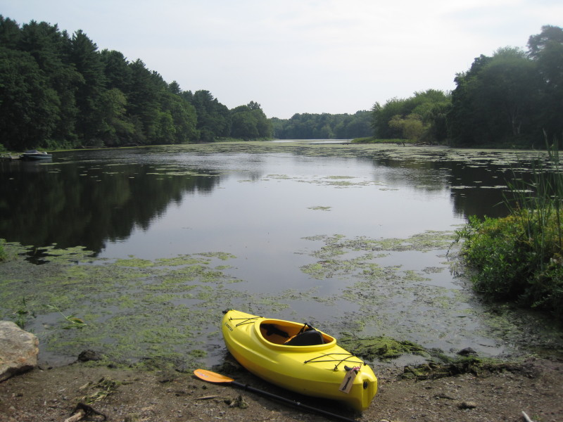
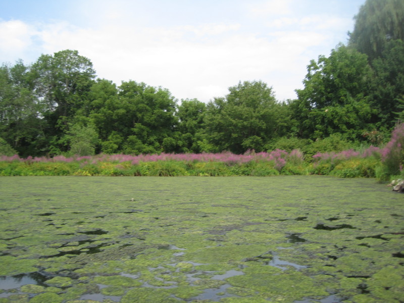 Lots of algae near the bridge. They all moved further down river when I came back 4 hours later.
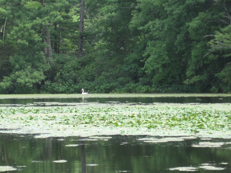
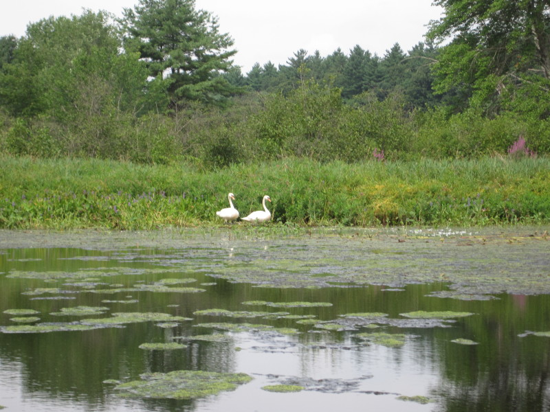 Pair of swans.
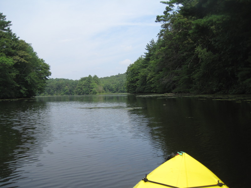
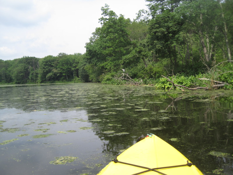
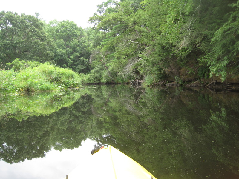
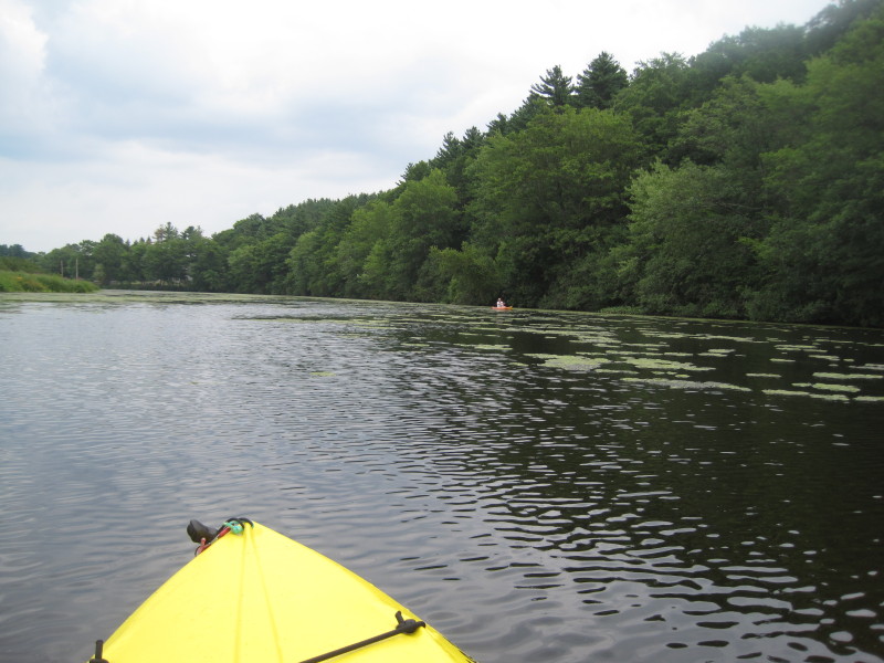
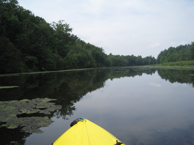 Paddling upriver, the Assabet Wildlife Refuge is on the left bank.
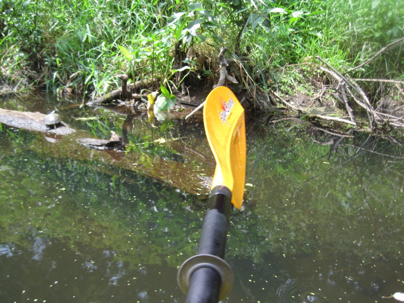
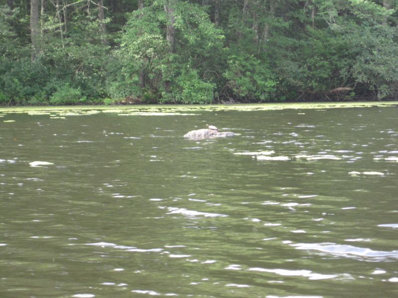 A small turtle sun-bathing.

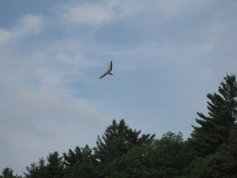 Glider.
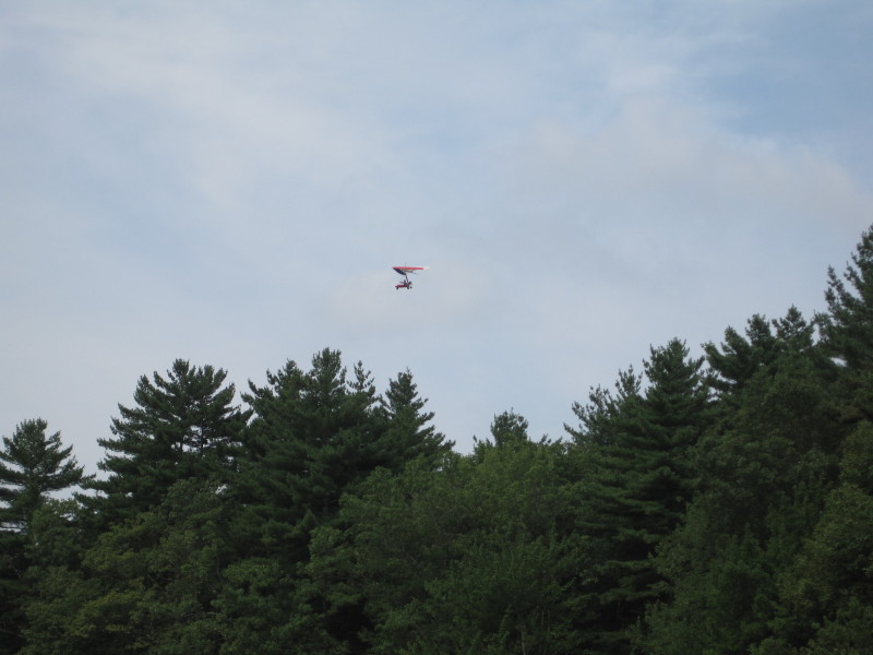 I was expecting only wild life to be flying around!
 A bird.
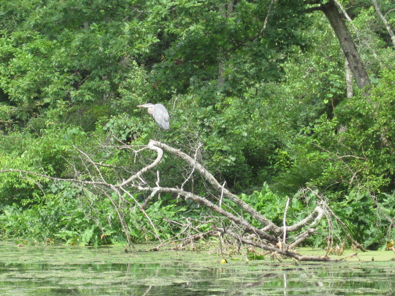 I am not good at identifying bird species. They are all "birds"! :(
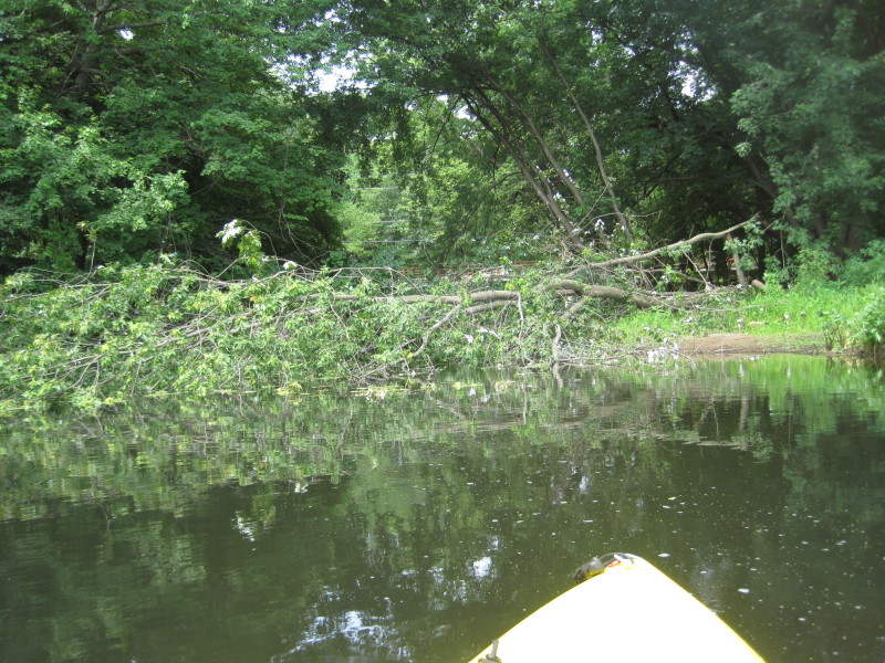
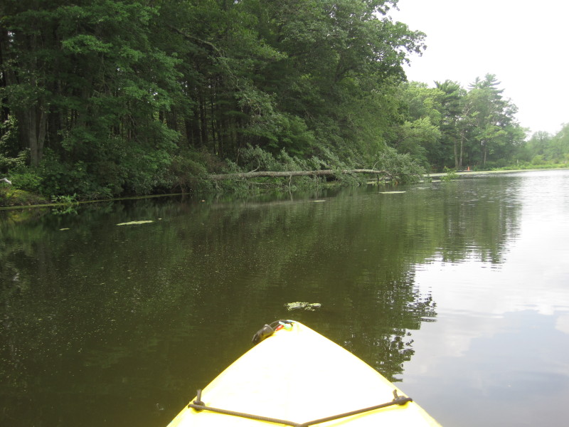 Fallen tree.
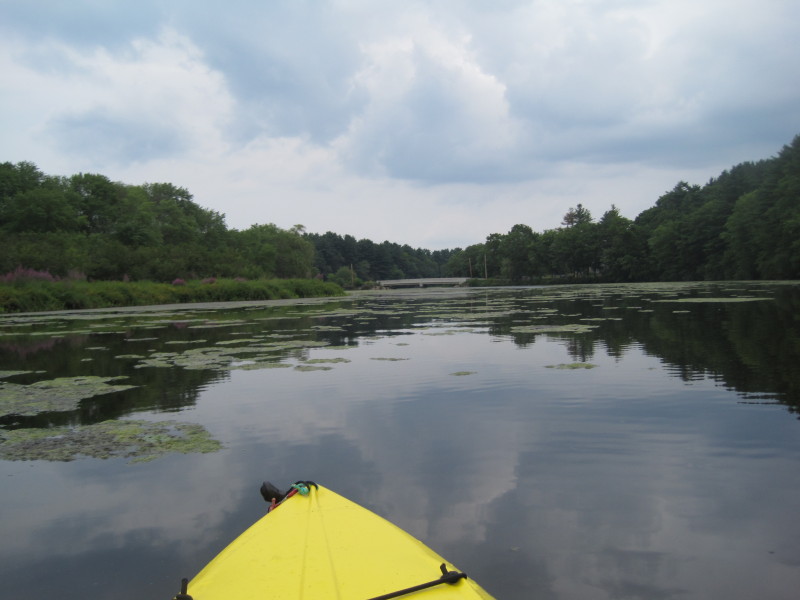
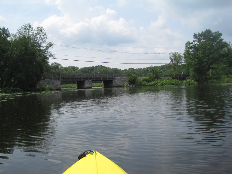 Sudbury Road bridge. There is a kayak/canoe launch area at the south/west side of this bridge.
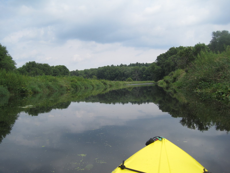 Assabet River narrows and now lined by grass as I approach into Gleasondale.
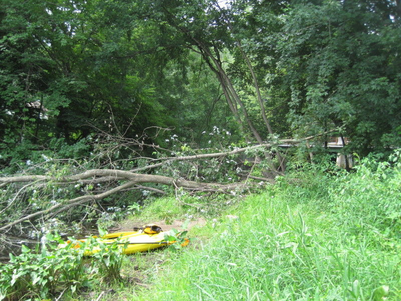
 I have reached my point of return! There is this recently downed tree just before the Gleasondale Bridge
(designated as the put in spot in my map above).
The railings of the bridge behind is visible but hardly.
I have reached my point of return! There is this recently downed tree just before the Gleasondale Bridge
(designated as the put in spot in my map above).
The railings of the bridge behind is visible but hardly.
 I beached here to take a break and stretch my legs before I start my return journey.
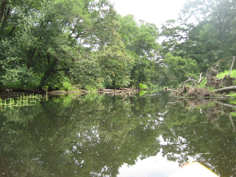 Paddling downriver now to go back to where I started.
 Turtles abound.
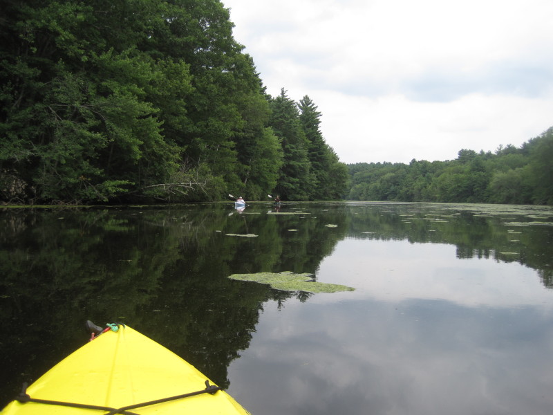
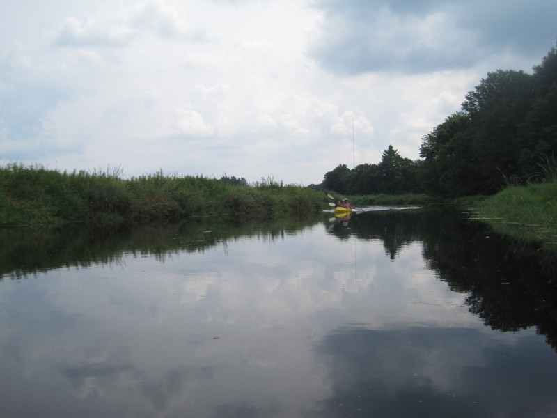 I was paddling alone on the Assabet River for more than 2 hours before I saw this couple in a tandem kayak.
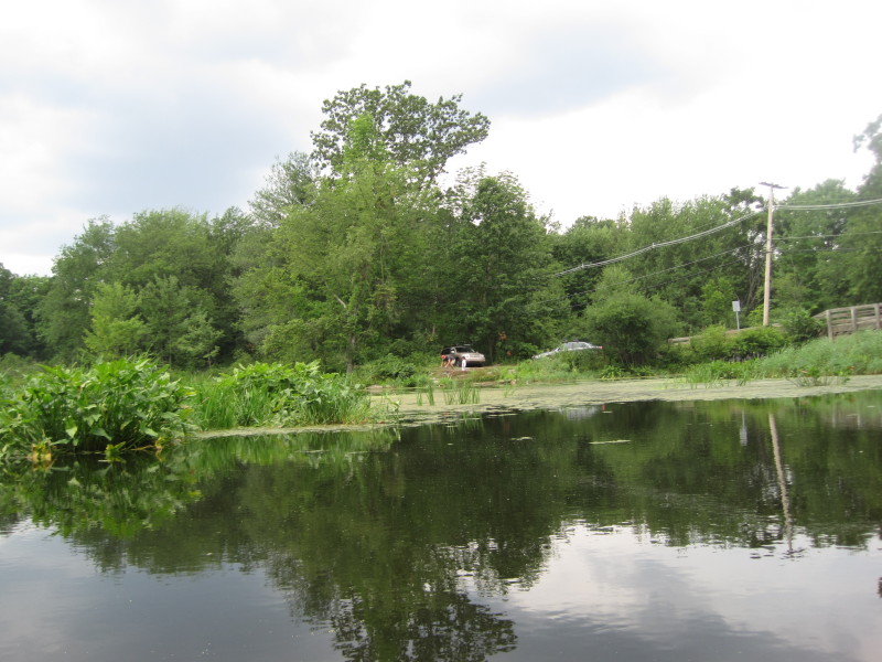 On my way back, just before Sudbury Road bridge. Launch area has 2 cars.
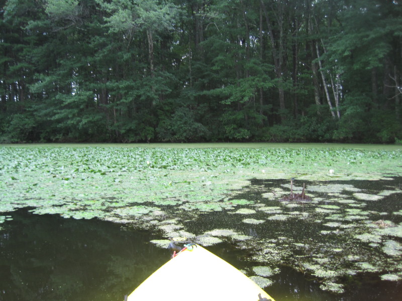 Water lillies.
 A pair of kayakers.
 Another kayaker.
 Back to the White Pond bridge where I started after 4 hours and a 7-mile round trip.
You bet I was dead tired! |