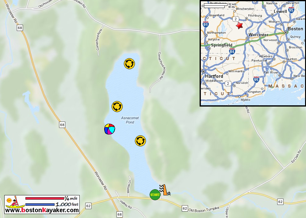
Other resources:
Mass. Govt.: Asnacomet Pond Bathymetry Map
Mass. Govt.: Asnacomet Pond Bathymetry Map (cached copy)
GadgetGeekDad: Comet Pond
Number of original photos on this page : 73
All photos in this website are original and copyrighted.
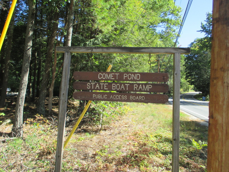 At the Asnacomet "Comet" Pond access on Route 62 in Hubbardston MA.
Trip date is October 2017.
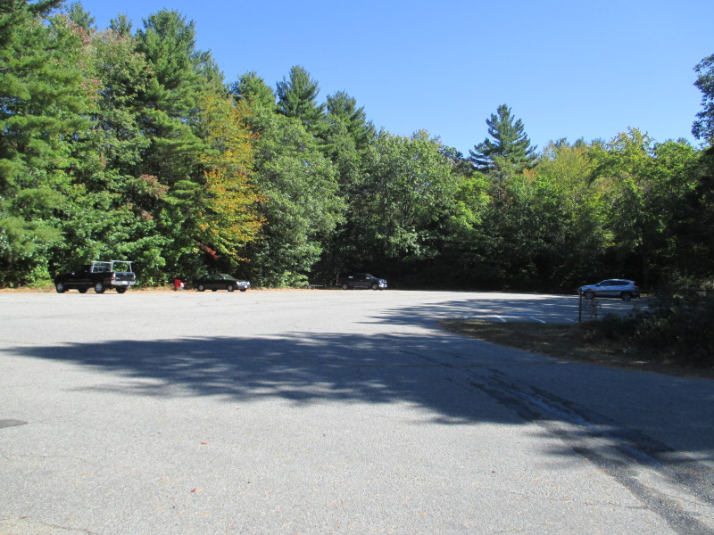 The parking lot at the access area to Asnacomet.
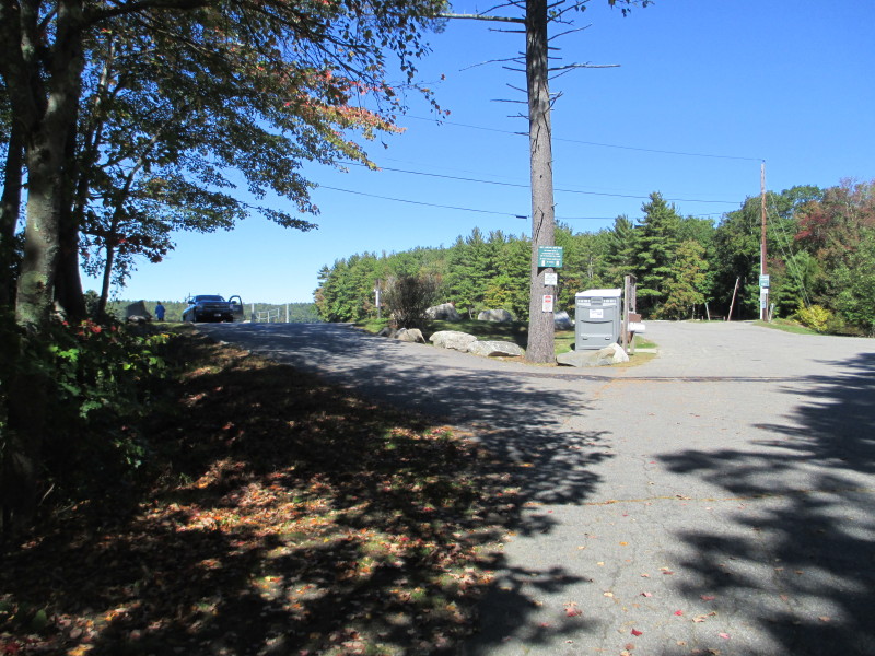
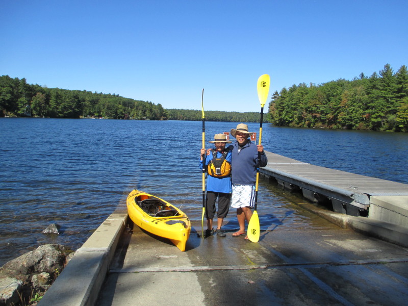 The Boston Kayaker and wife on the ramp to Asnacomet Pond.
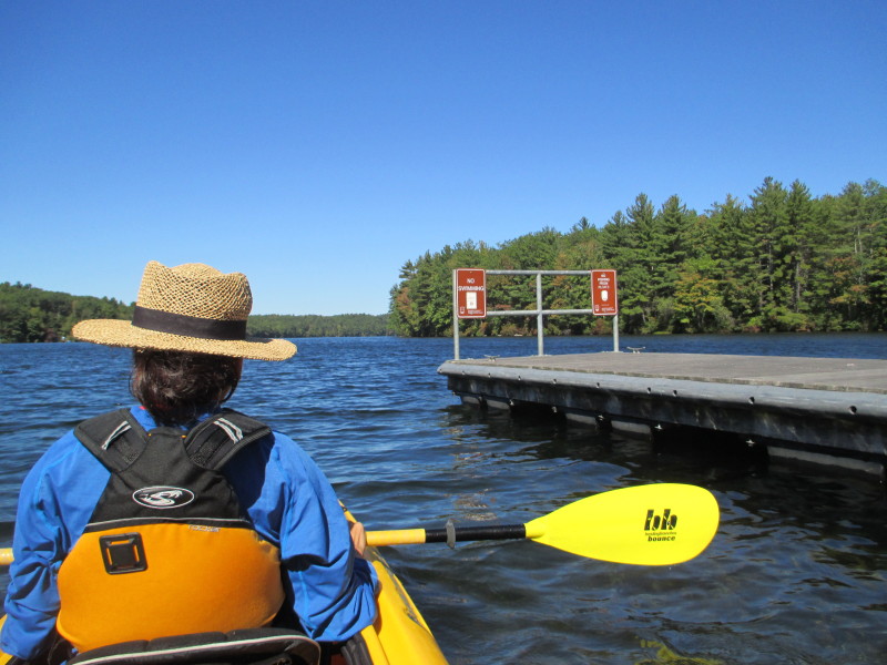 Just launched on Asnacomet Pond.
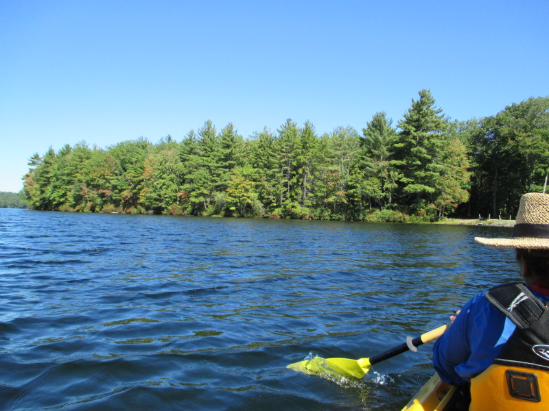 Veered to our right. Will circle this pond counter-clockwise.
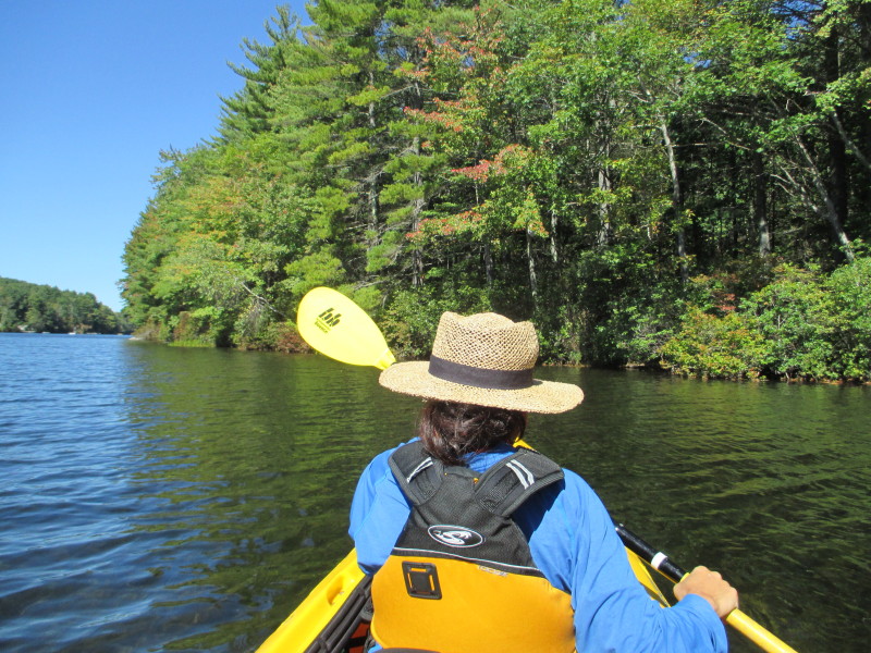 Approaching the eastern shore.
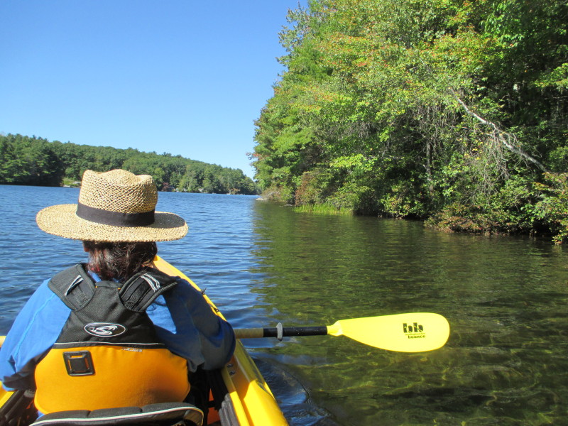 Turned the corner and now paddling northwards will keep to the eastern shore on our right.
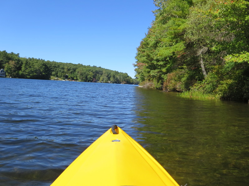

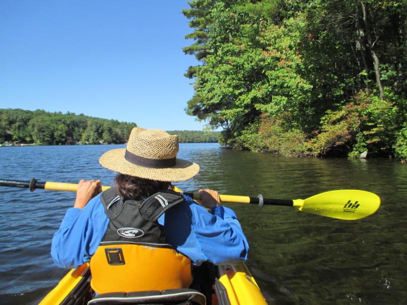
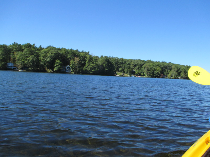 Looking to our left across the pond to the western shore.
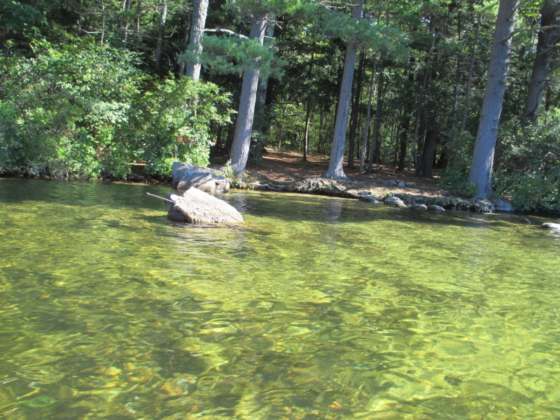 Water of Asnacomet Pond is really very clean and clear.
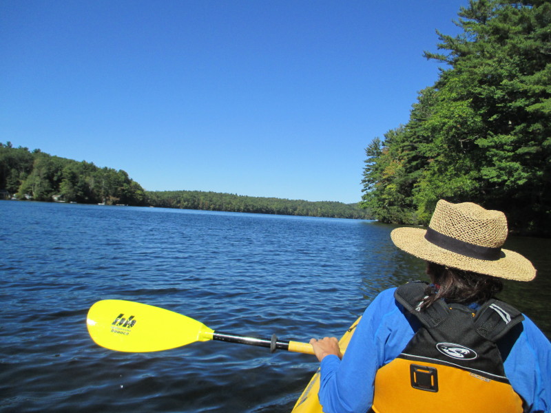
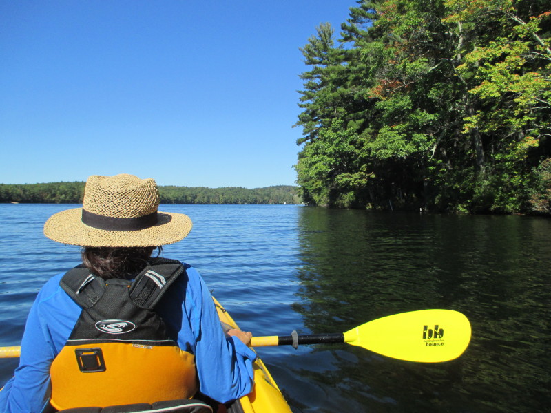
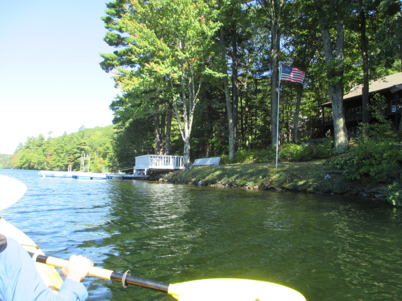
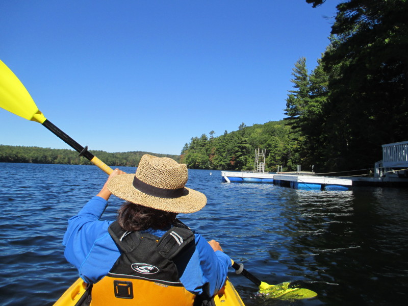
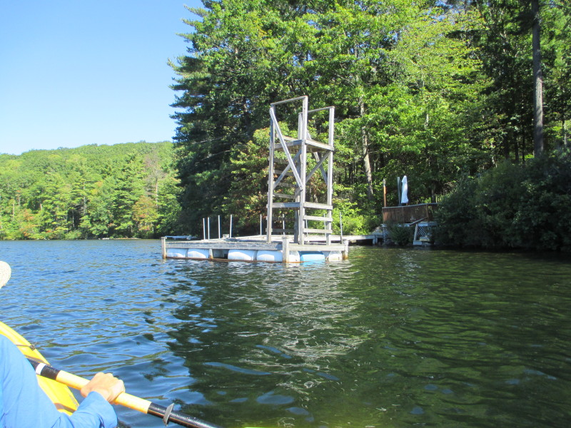
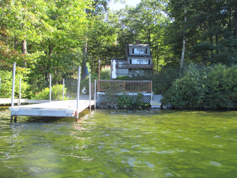
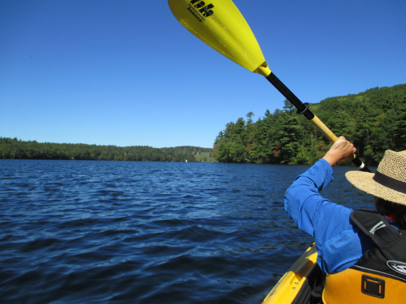
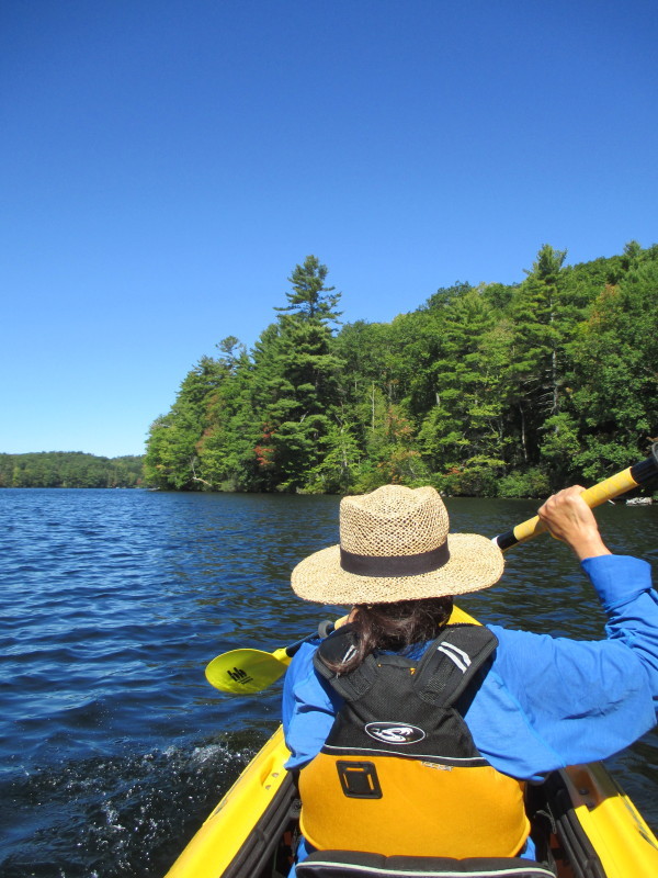
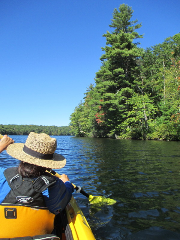
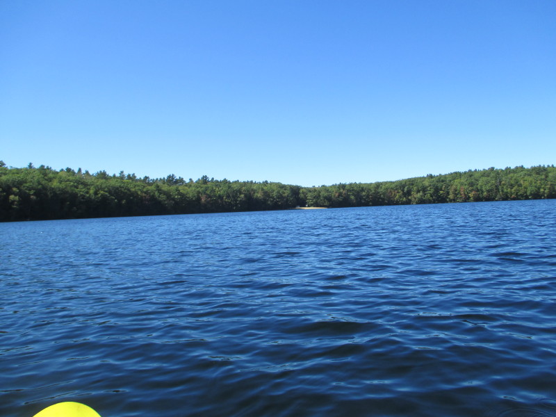 Looking across the pond to our left, the sandy public beach.
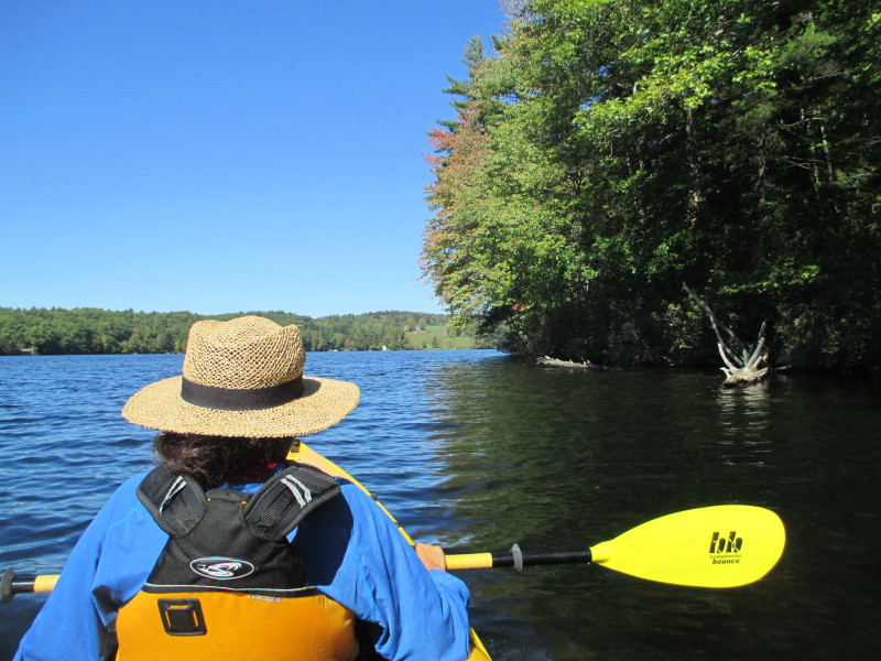 Continuing to follow the eastern shore on our right.
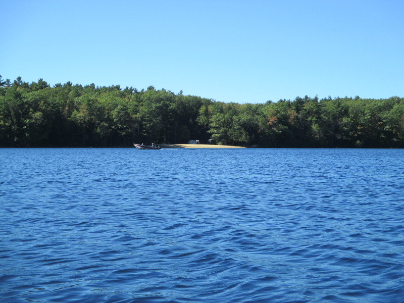


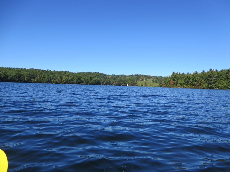
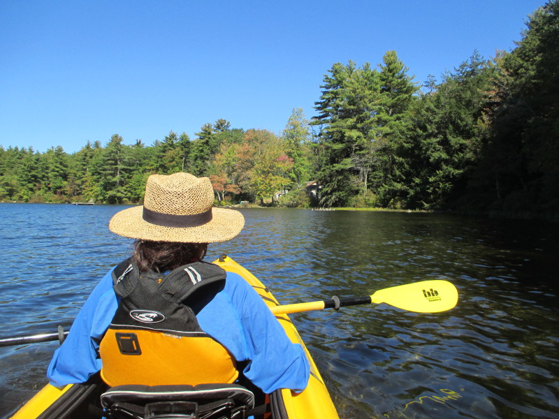 In front is one of the cove's corner.
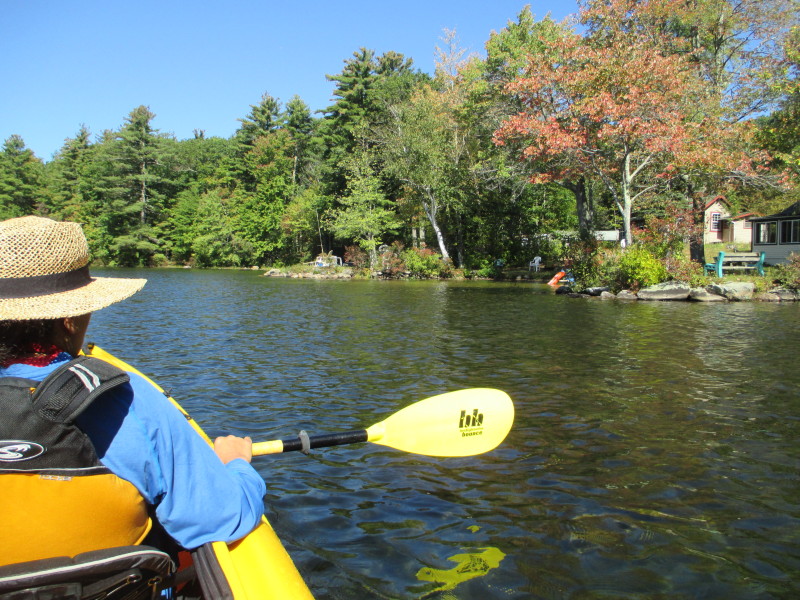 Pivot to left.
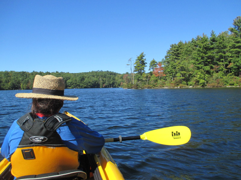 That jutting land demarcates this cove we are currently in.
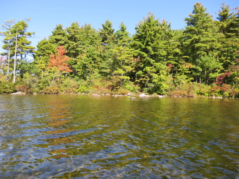
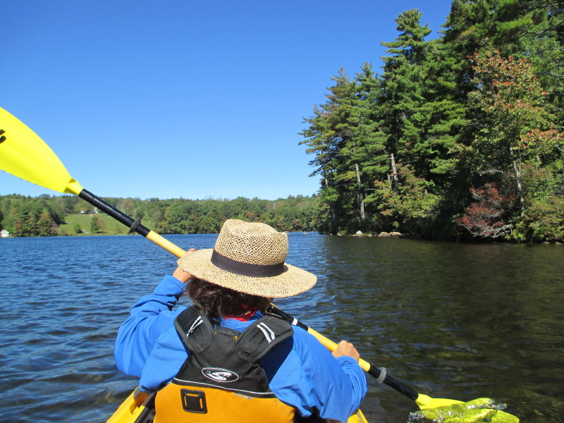 Out of the cove, veered right and now continuing northwards.
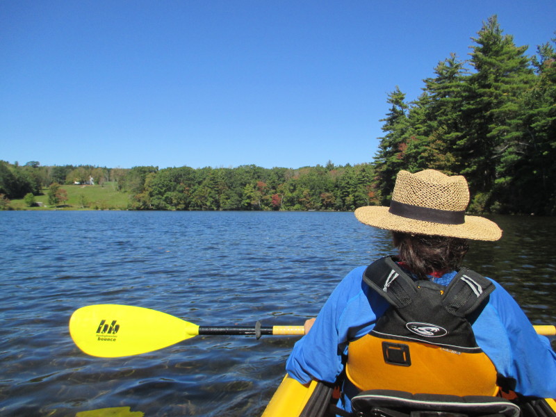
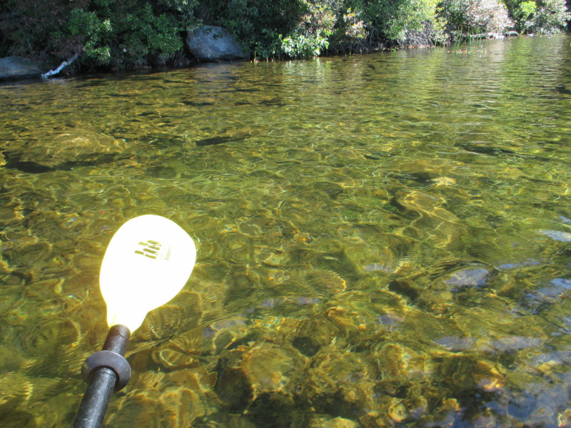
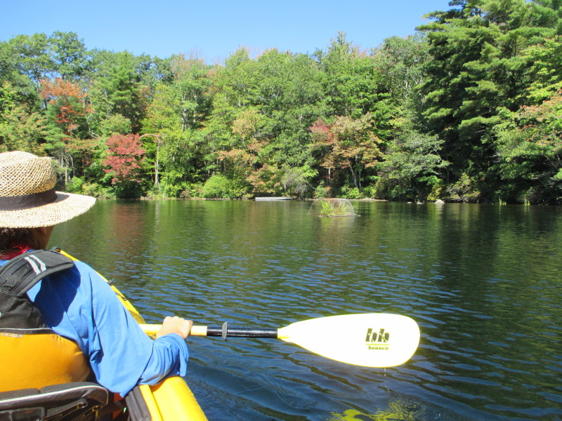 On right is the northeast corner of Asnacomet Pond.
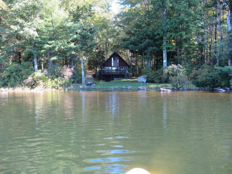
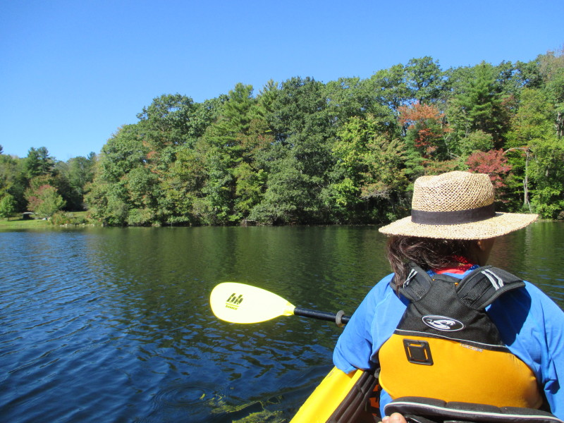 Turning the corner to our left.
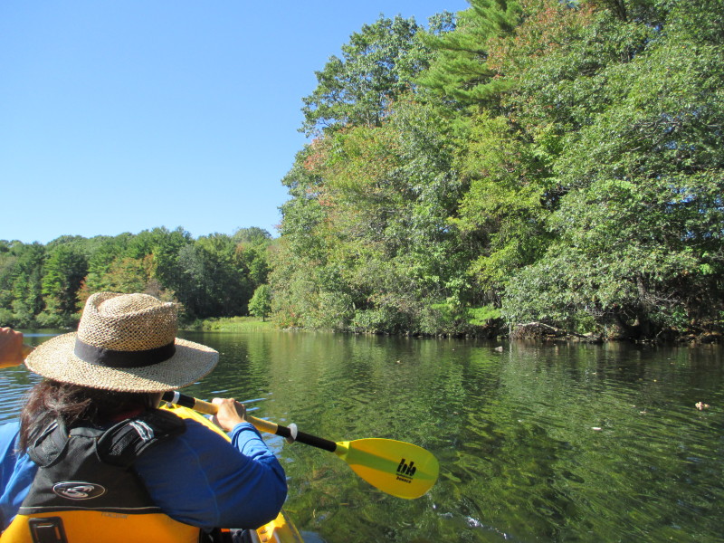
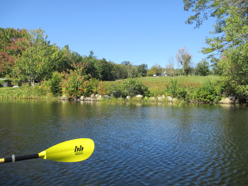 On our right, up the hill, the power lines along Old Princeton Road.
We can also see passing vehicles.
 At left, Asnacomet Pond viewed from the north end.
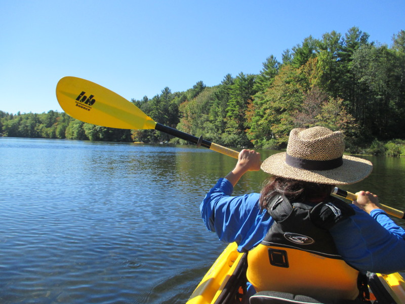
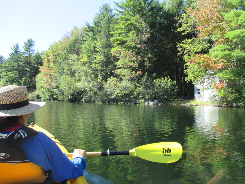 On right, a water-front house on the northwest corner.
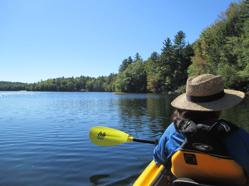 Another left-pivot and we are now facing southwards.
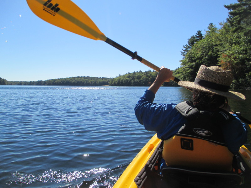 The western shore on our right.
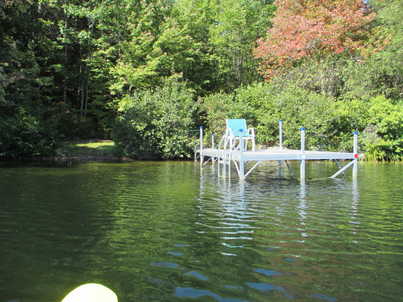
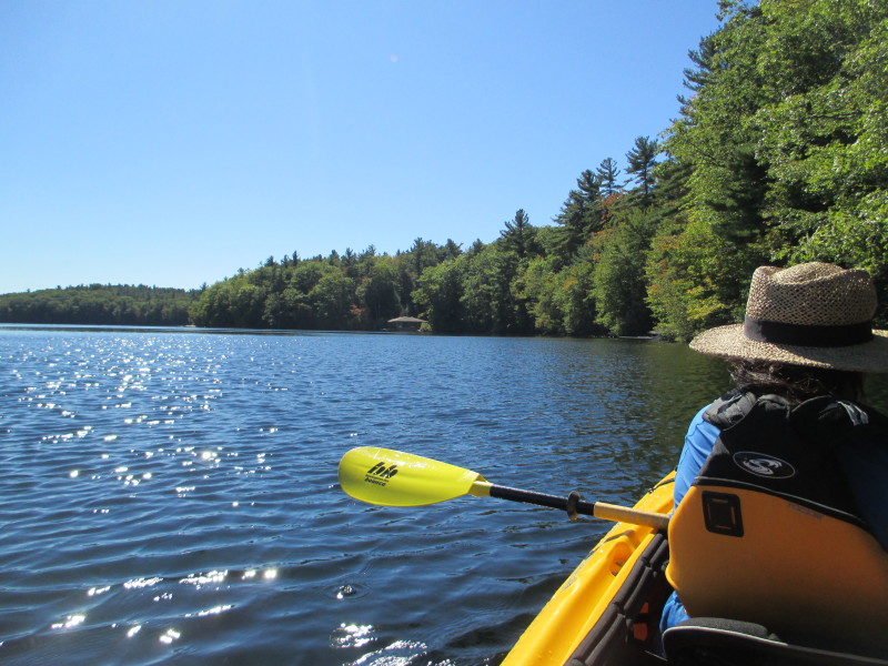


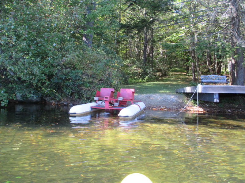 Water bike boat.
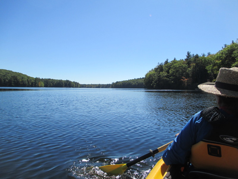
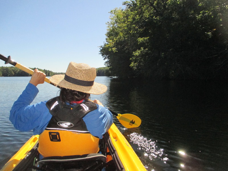
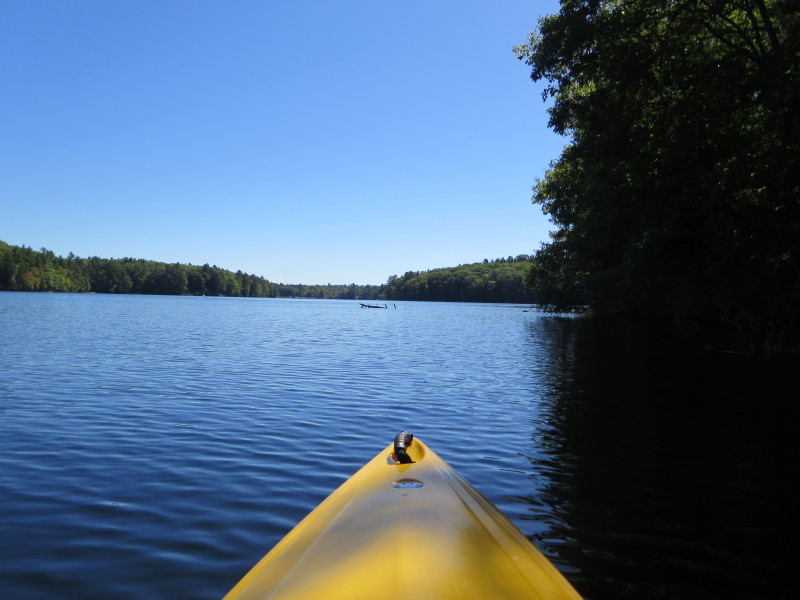
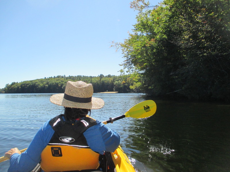 Approaching the public beach.
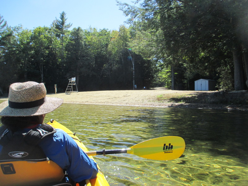
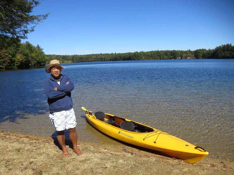 The Boston Kayaker on the Asnacomet Pond beach.
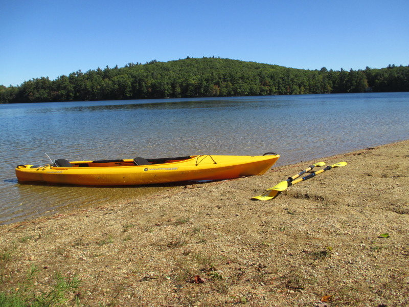 Taking a short break on the beach of Asnacomet Pond.
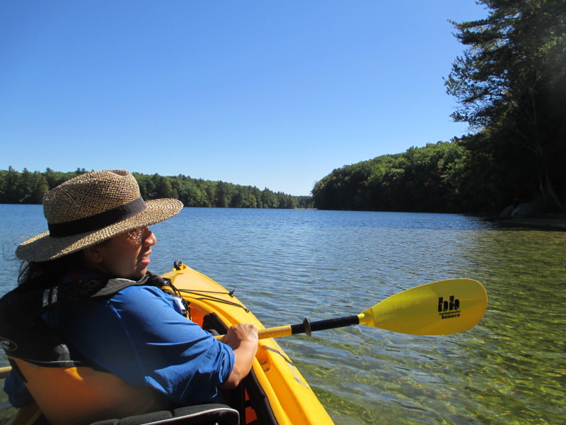 Back on the waters of Asnacomet.
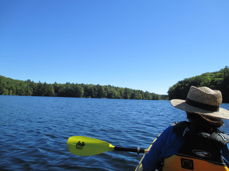
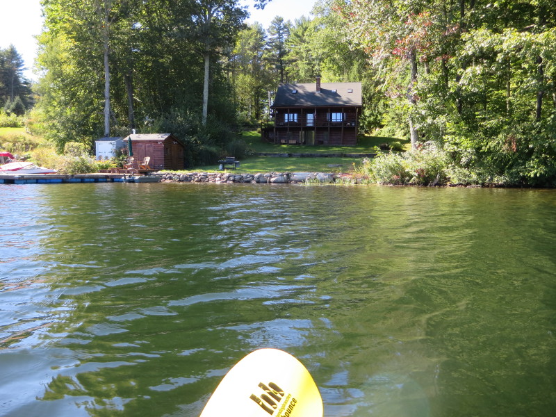
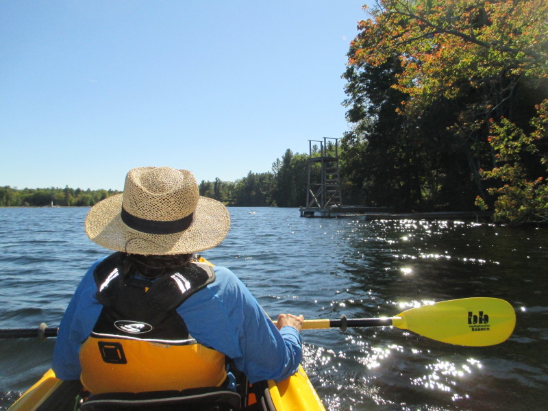
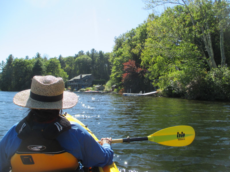
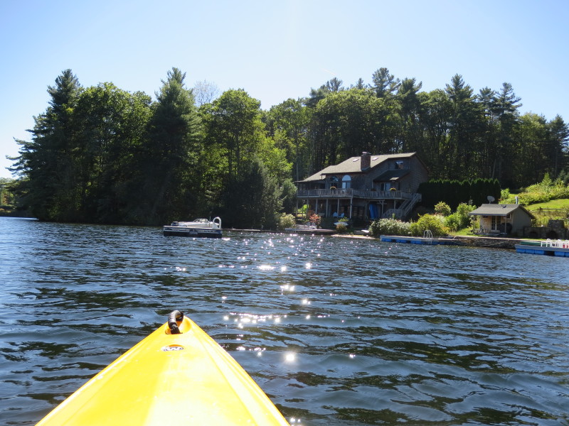
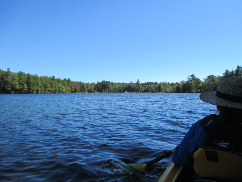 A sail boat launching from the ramp area.
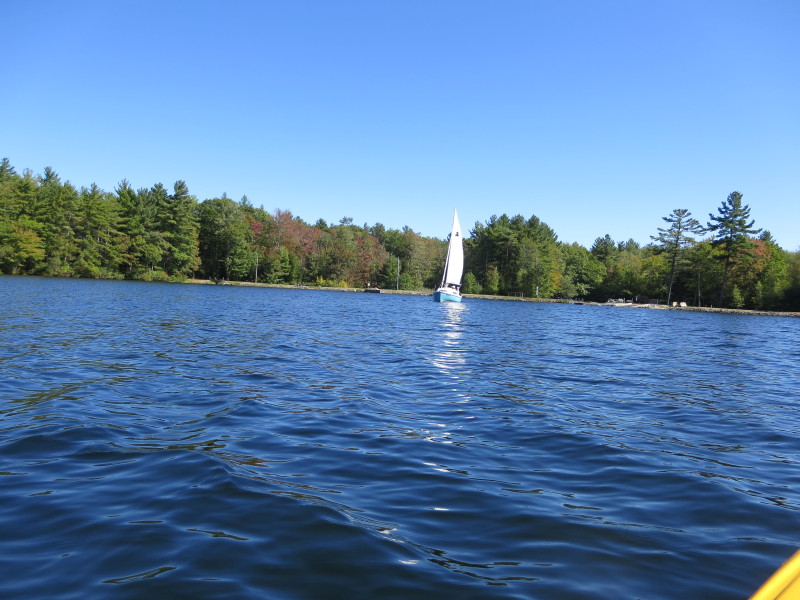
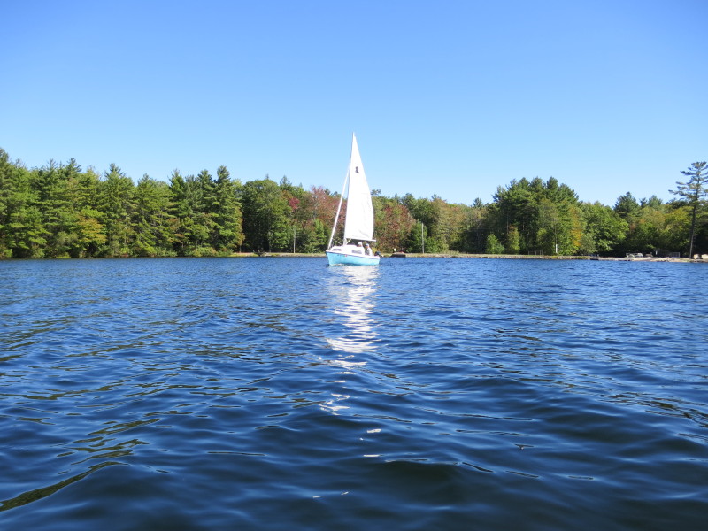

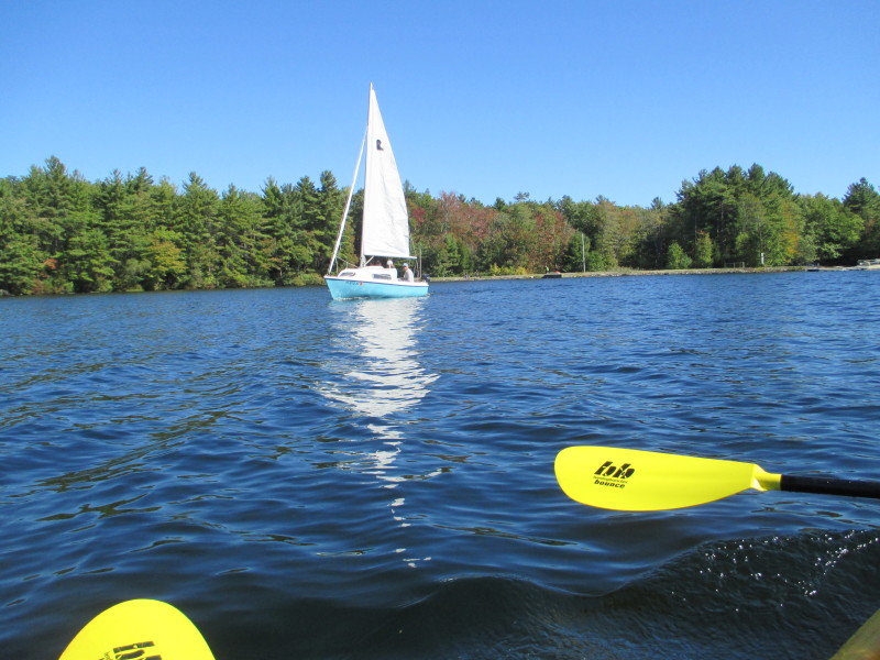 A sail boat on Asnacomet Pond.
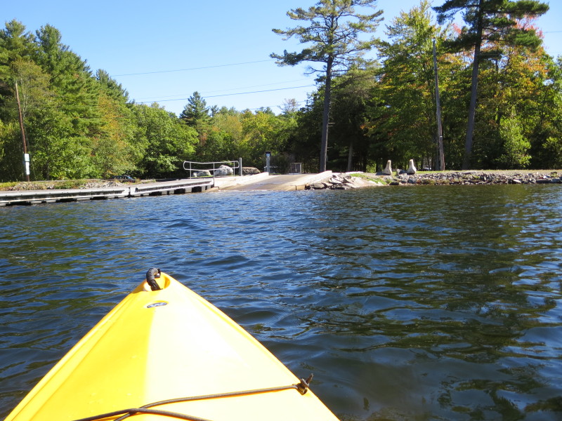
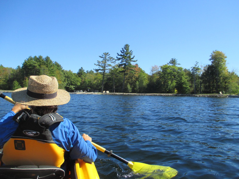
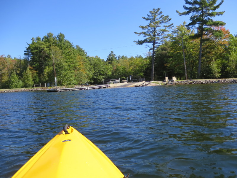
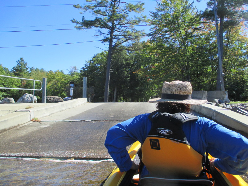 Landed. Paddle time is 50 minutes.
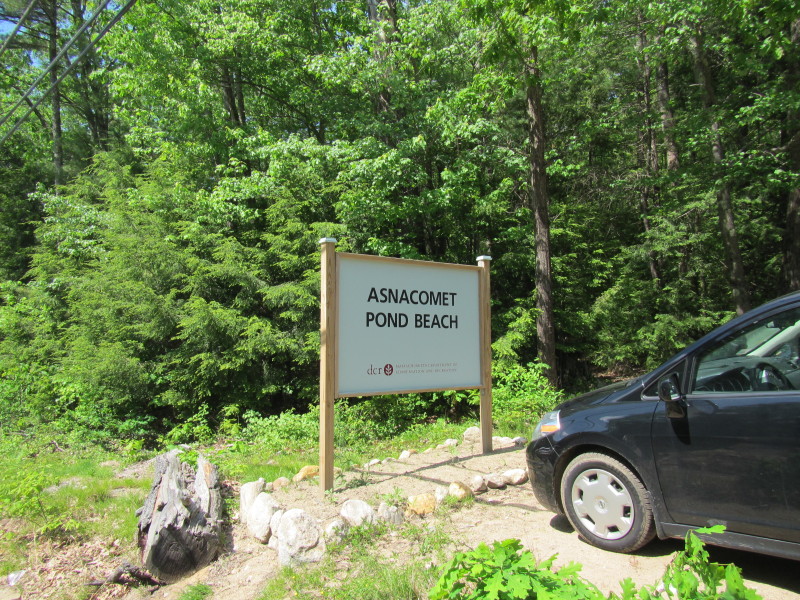 The road sign for Asnacomet Pond Beach on Route 68.
|
