|
Download printer-friendly
PDF version that fits in one page: |
Other resources:
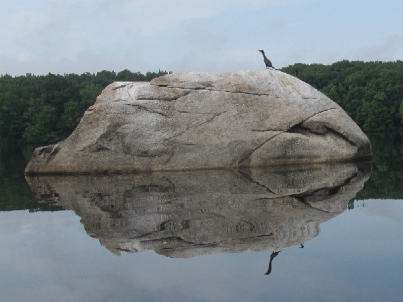
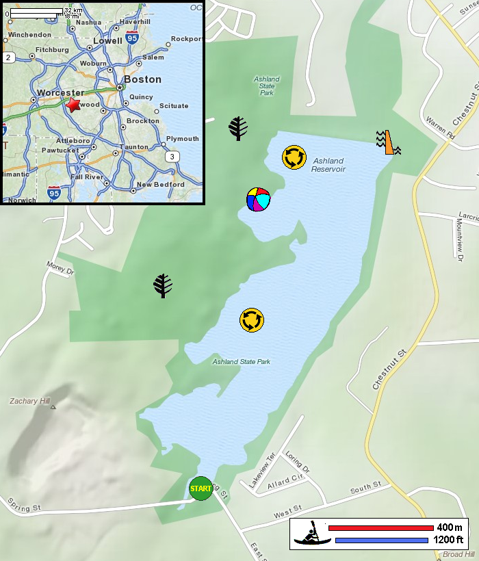
Mass. Dept of Conservation: Ashland State Park Mass. Dept of Conservation: Ashland State Park Trail Map Mass. Dept of Conservation: Ashland State Park Trail Map (cached copy) REI Guidepost: Ashland Reservoir Driving Directions to Ashland State Park in Ashland MA (MS Word format) All photos in this website are original and copyrighted. At the Ashland Reservoir launch area. Trip date is August 2012. Just launched on Ashland Reservoir. These baby ducks are friendly. Looking north onto Ashland Reservoir. It is a very cloudy morning. I will paddle along the eastern coast. Submerged rock. Getting closer to the north end of this reservoir. The Ashland Reservoir dam at the northeast corner. Paddling west along the dam wall. Ashland Reservoir looking south from the north end. The northwest corner of Ashland Reservoir. Looking into the cove where the public beach is (unstaffed). The public beach at Ashland Reservoir. Too early for the swimmers! Getting out of the public beach cove . . . A couple of kayakers . . . A guy on a stand-up paddleboard. Pile of rocks (unnatural of course!) Another kayaker just launched. It was an hour and 20 minutes paddle trip. |