Other resources:
Number of original photos on this page : 112
All photos in this website are original and copyrighted.
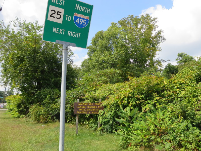 The roadsign to the ramp to Agawam Mill Pond on Ames Island Road in Wareham MA.
Trip date is September 2017.
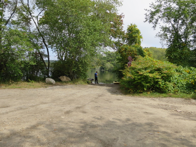 The state ramp on Ames Island Road. I learned about this ramp only during my kayak trip launching from Whitlock's Landing.
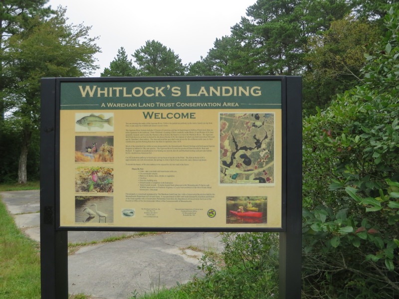
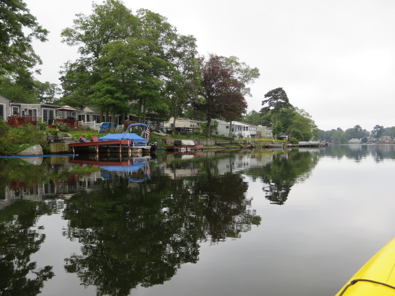
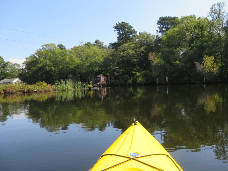
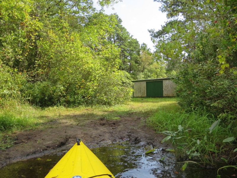
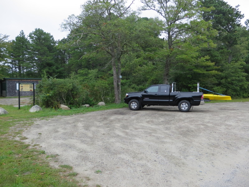 At Whitlock's Landing on Glen Charlie Road in East Wareham MA.
 The launch here is a little muddy and the ramp will be much preferable (had I known it).
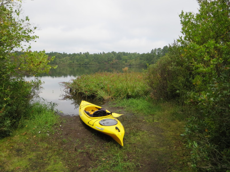
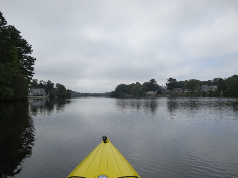
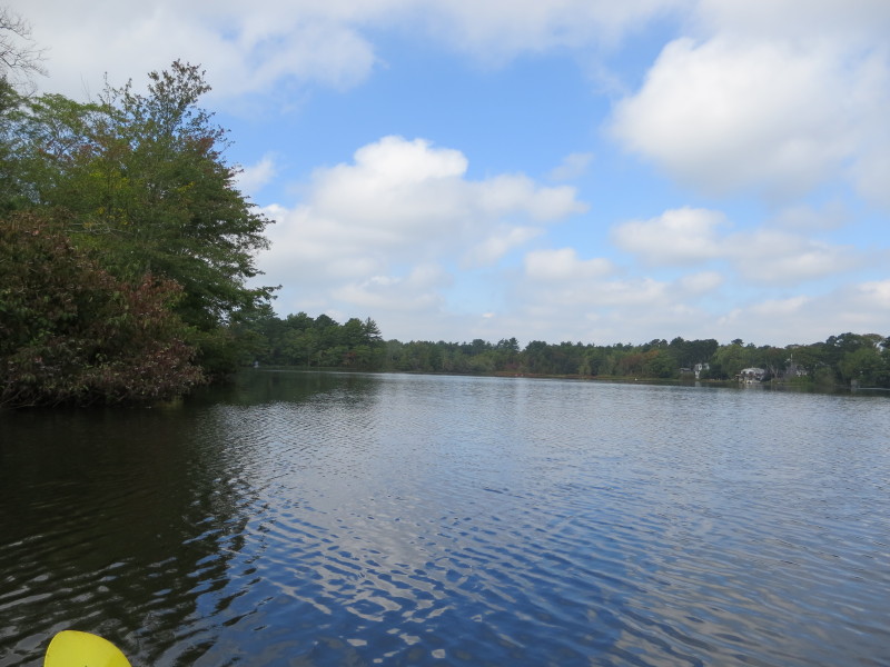
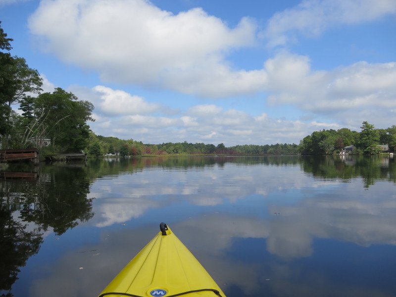
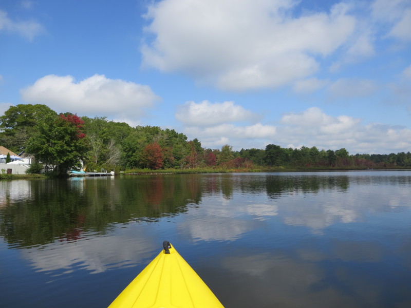
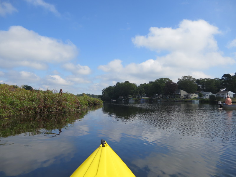
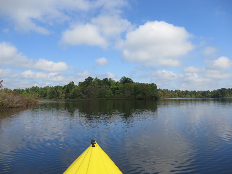
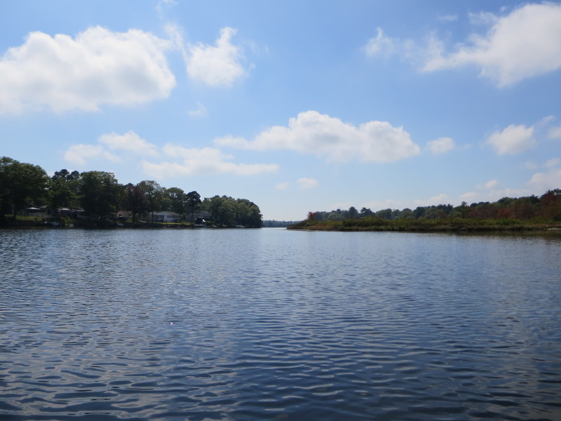
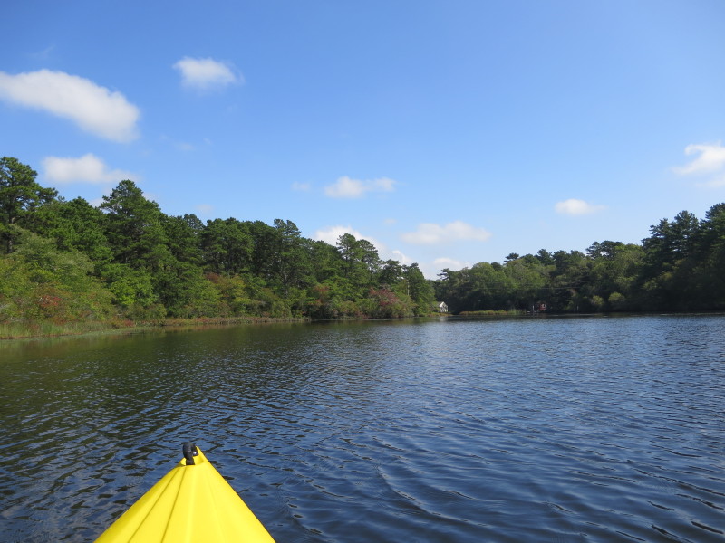
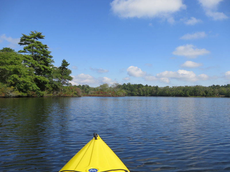
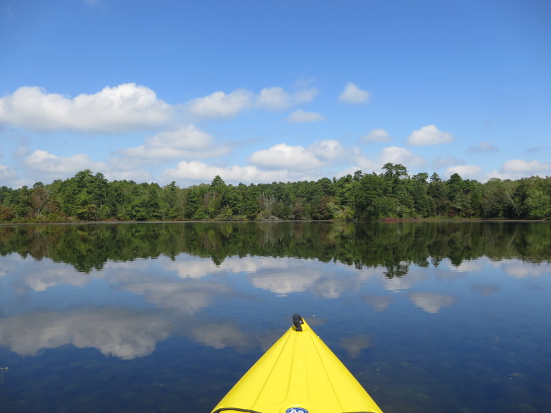
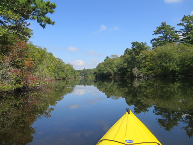
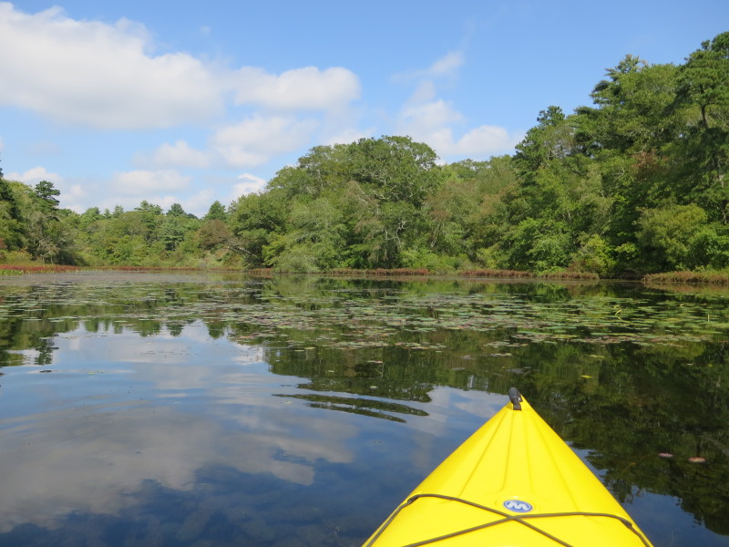
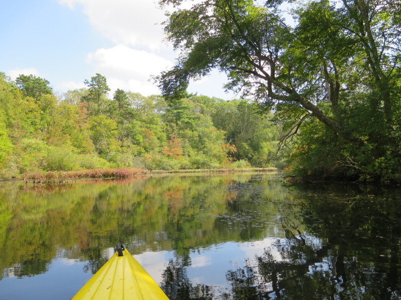
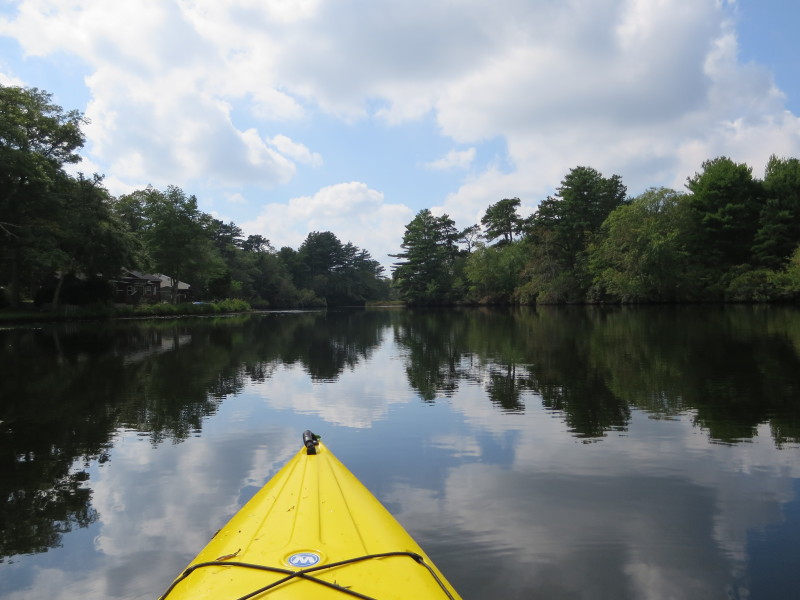
 The Boston Kayaker just launched into Agawam Mill Pond from Whitlock's Landing.
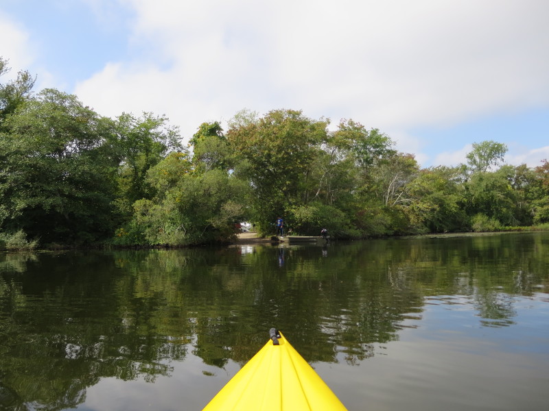
 Two guys fishing from a boat.
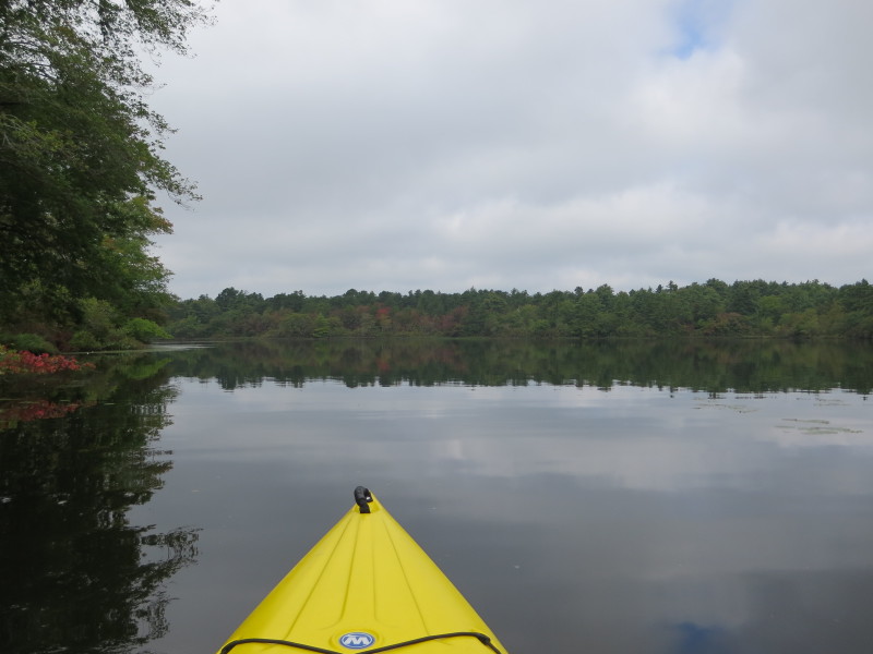
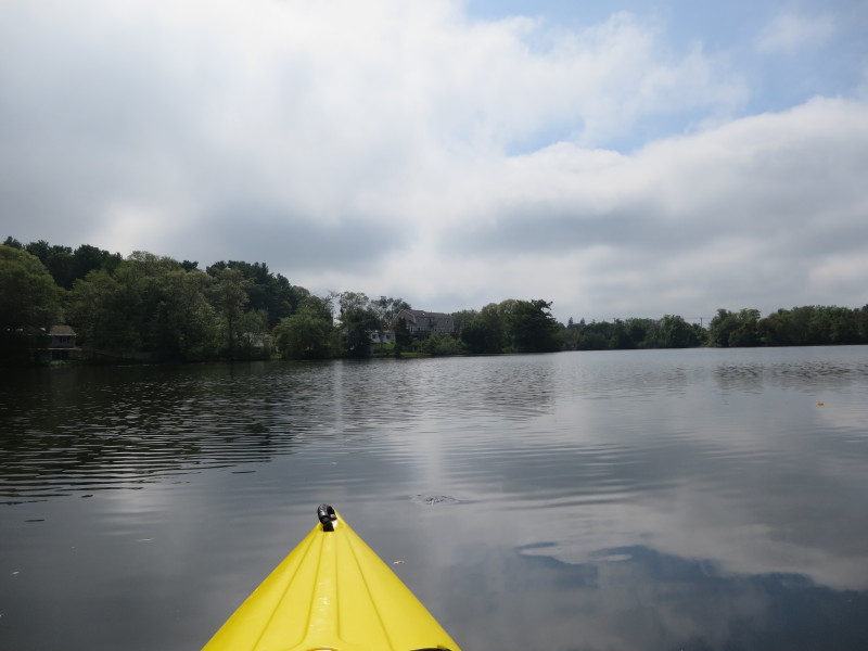
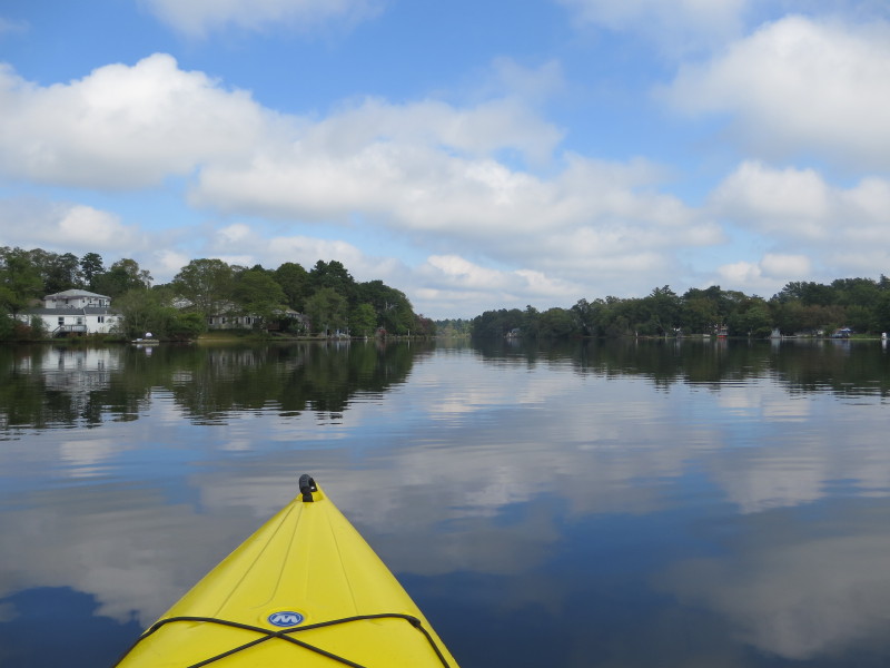
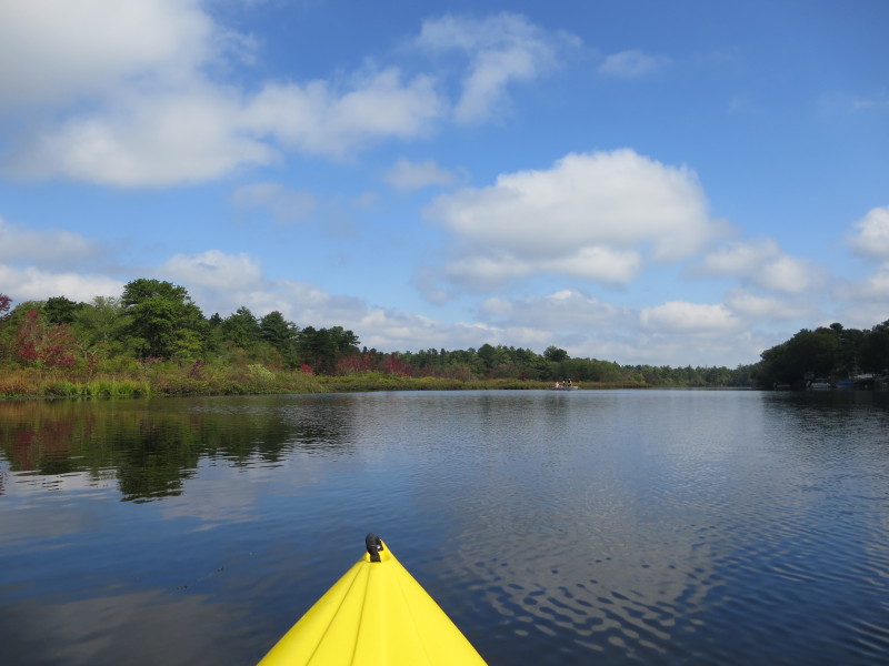
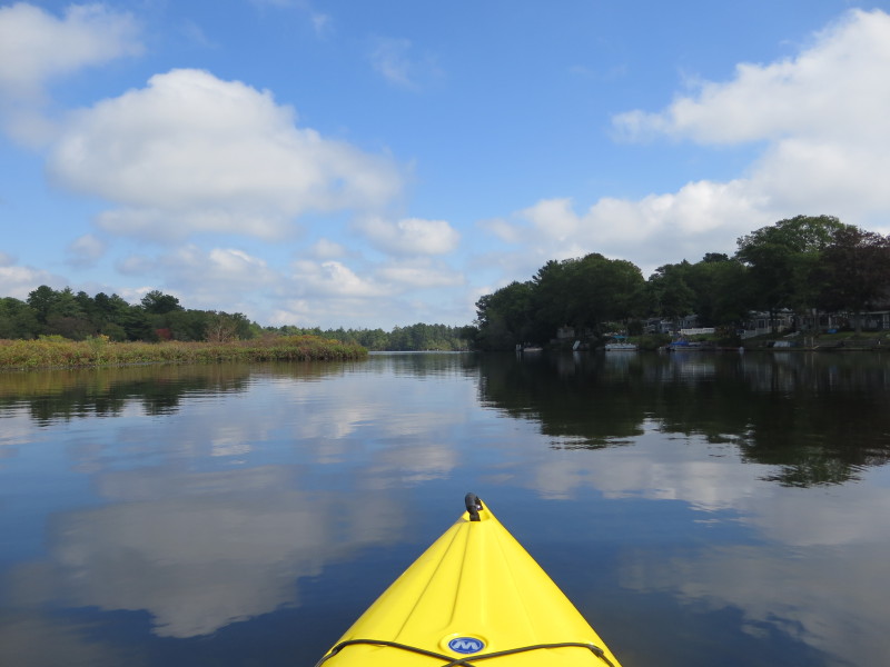
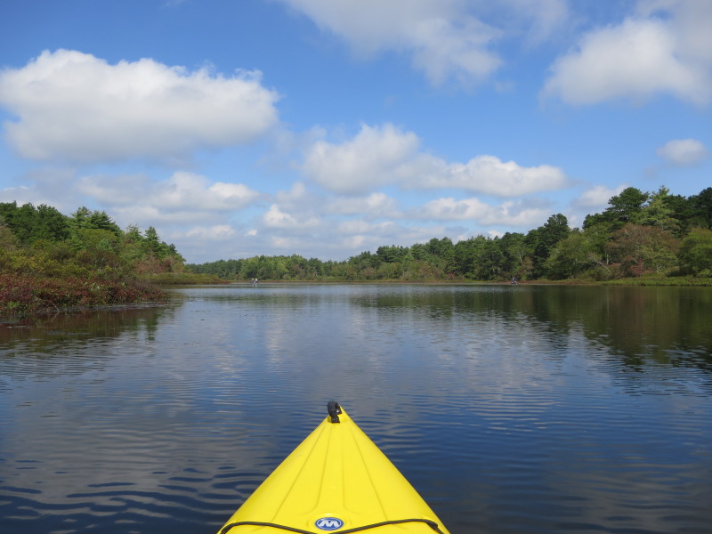
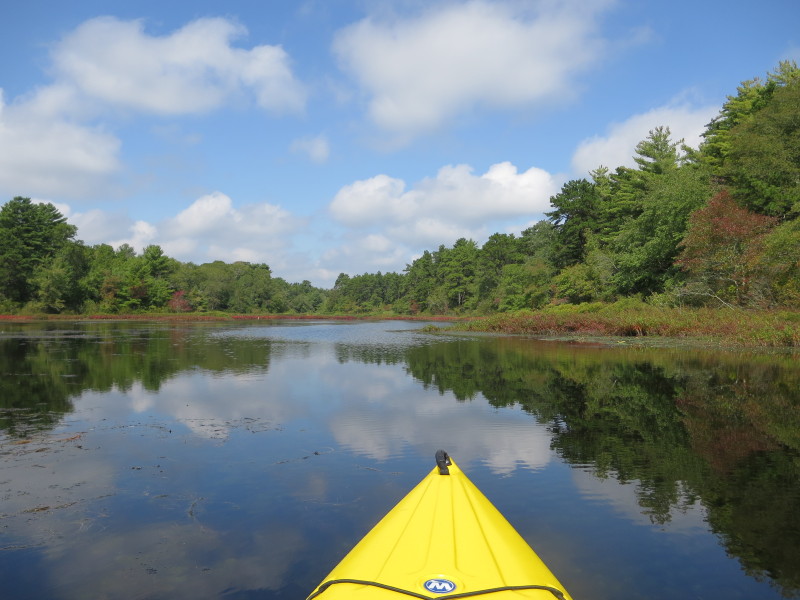
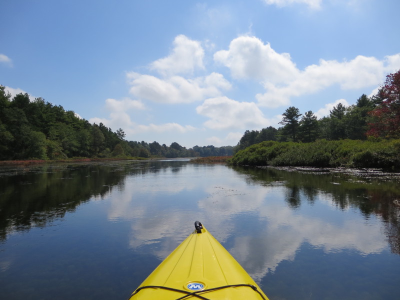
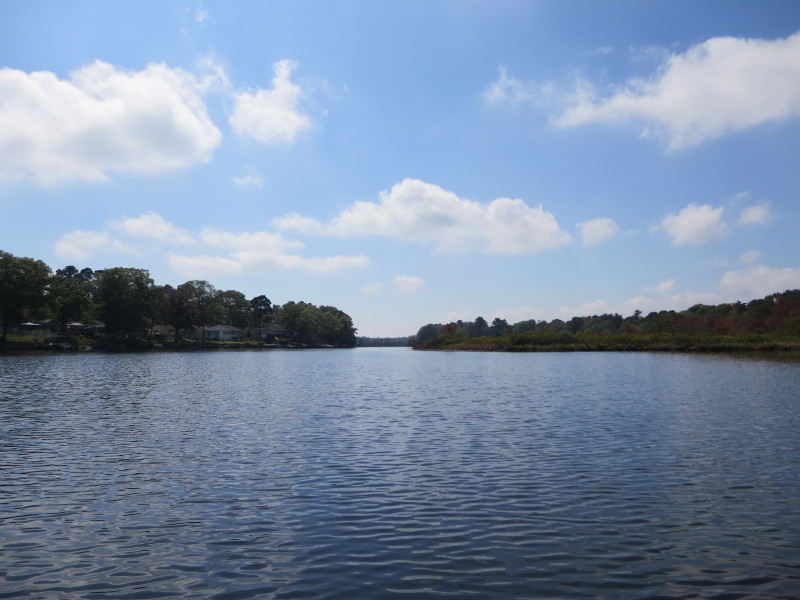
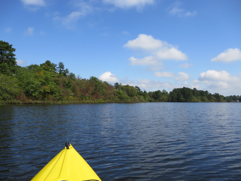
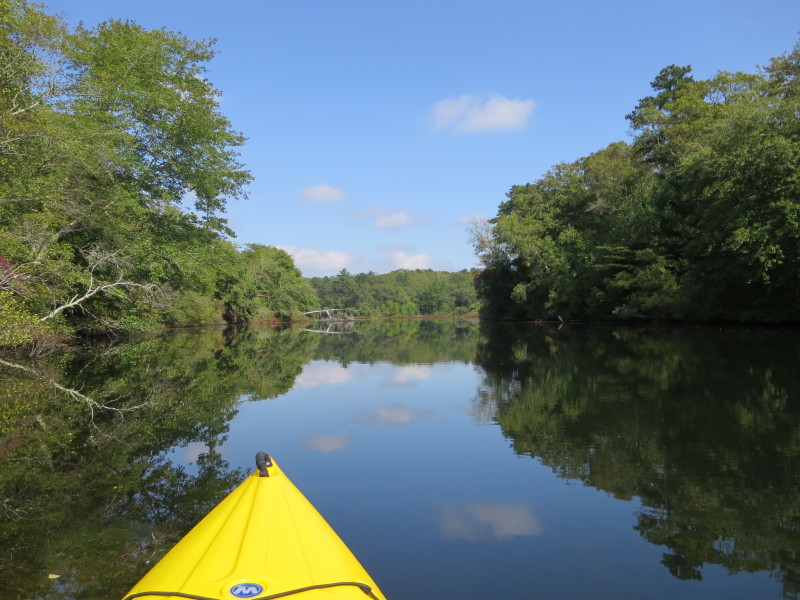
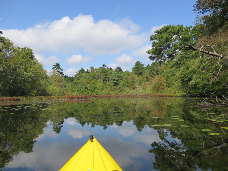
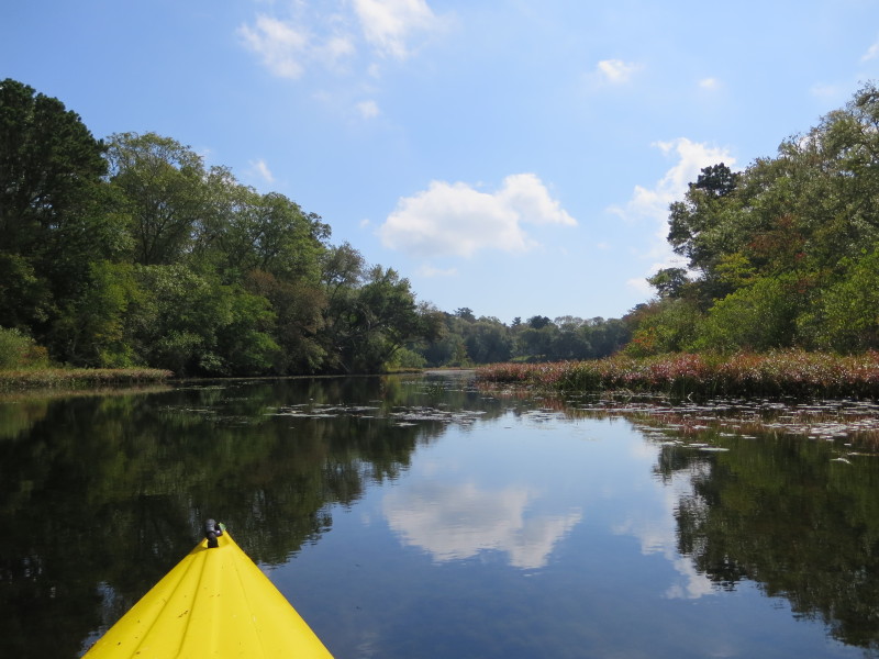
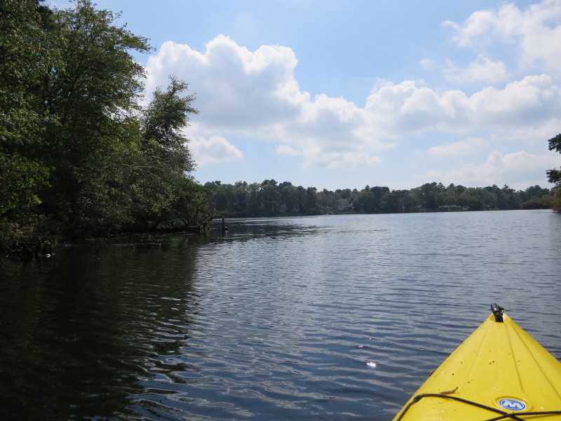
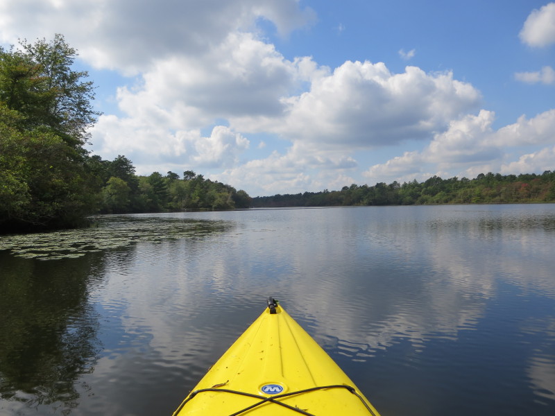
 Veering to my left southwestwards, will circle the pond clockwise.
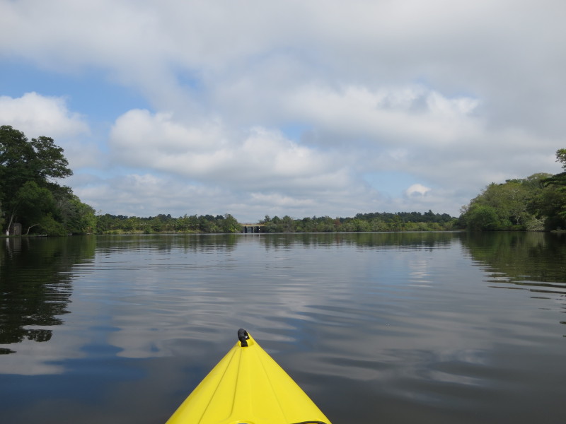
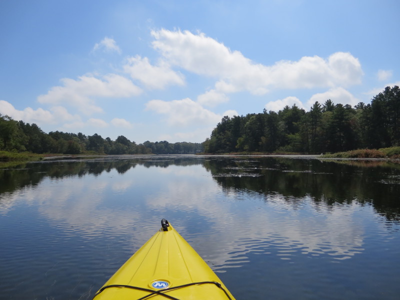
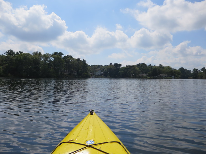
 I can now see Route 25 bridge.
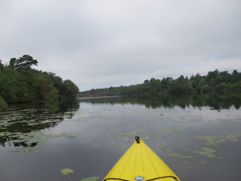
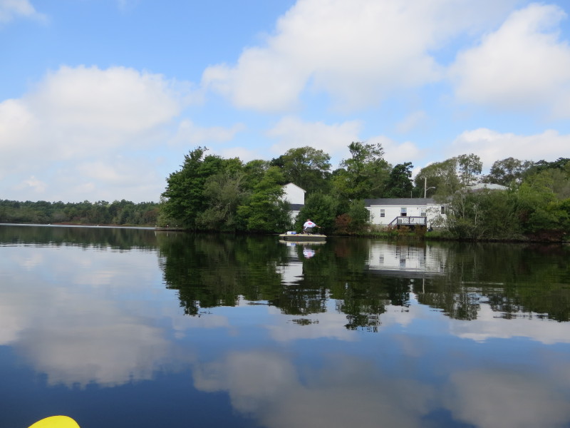
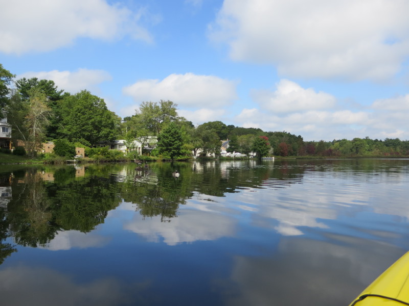
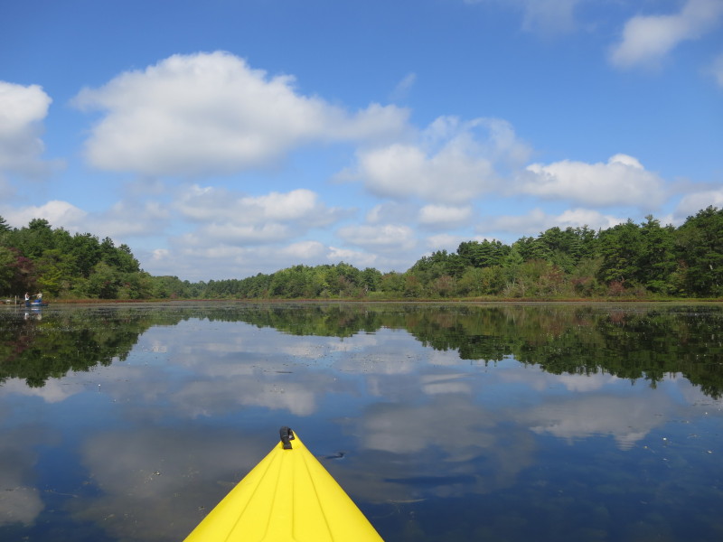
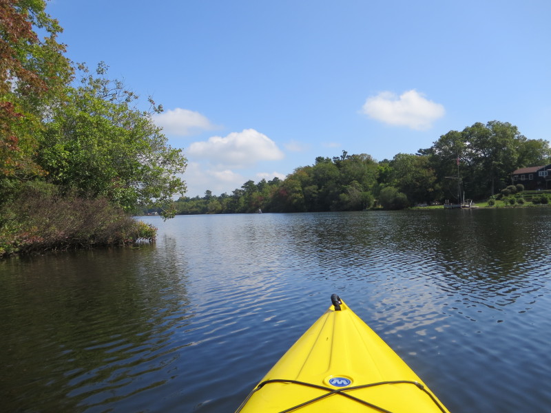
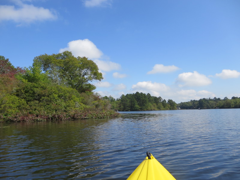
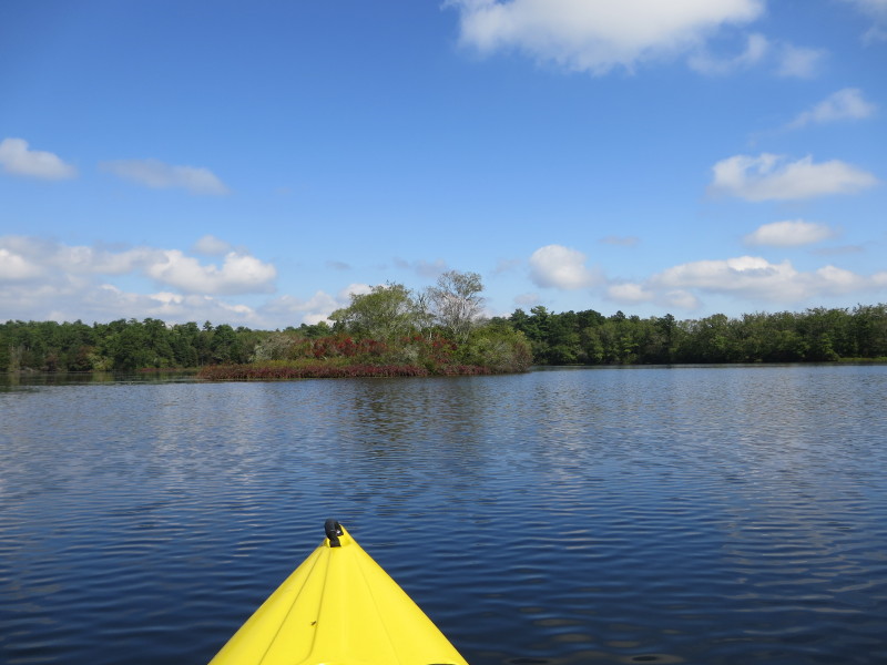
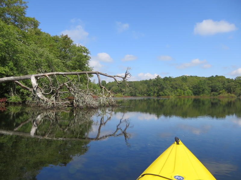
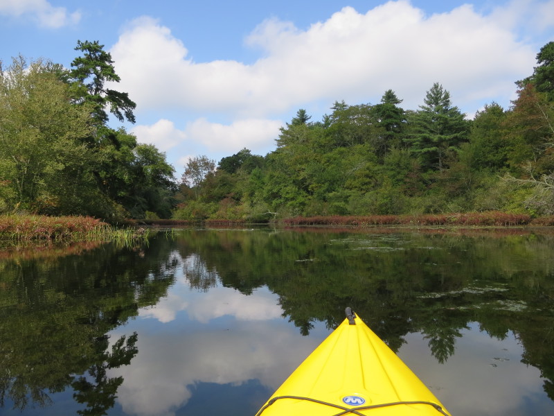
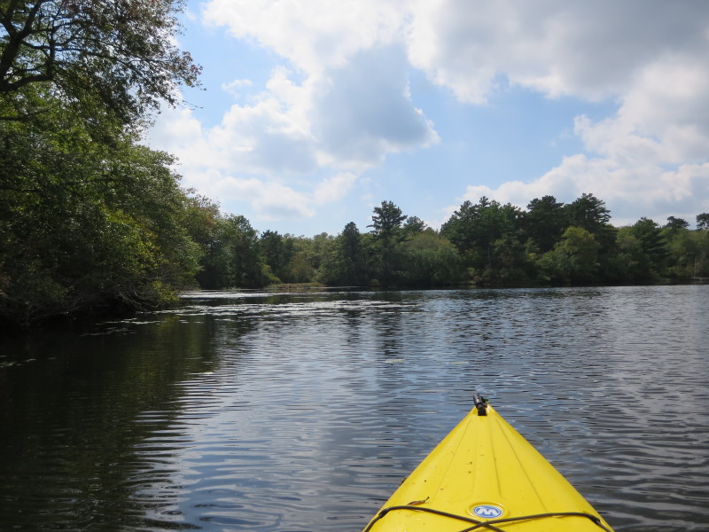
 On my left is a cove.
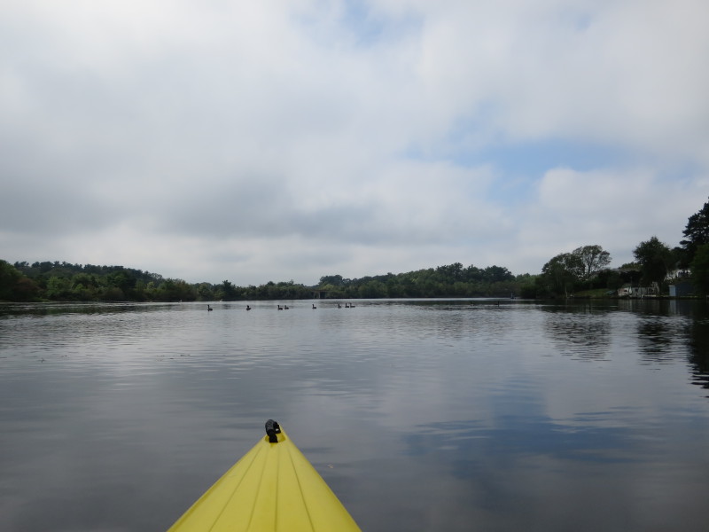
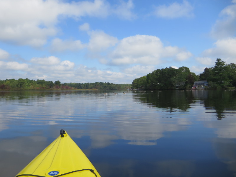
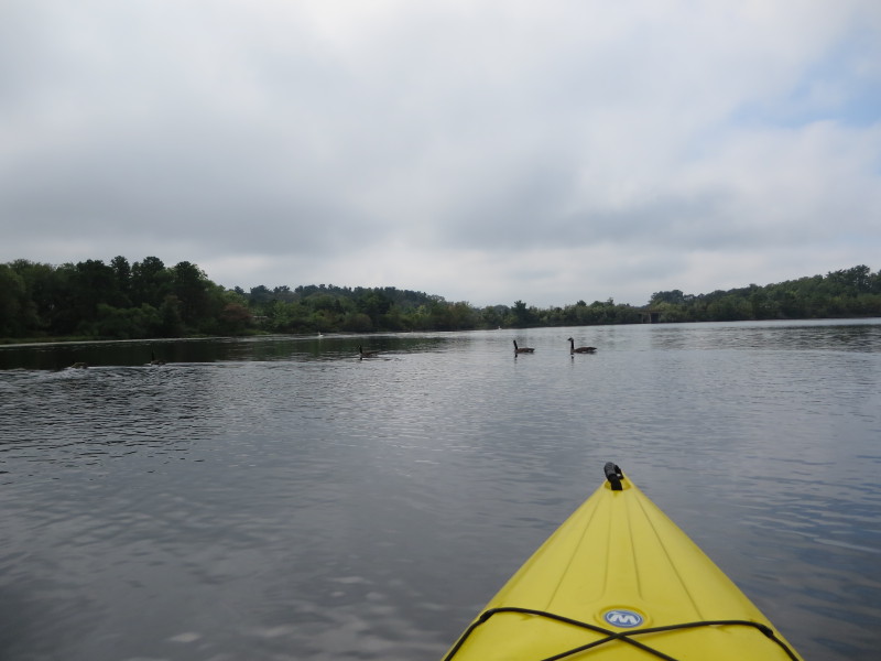 The resident ducks of Agawam Mill Pond.
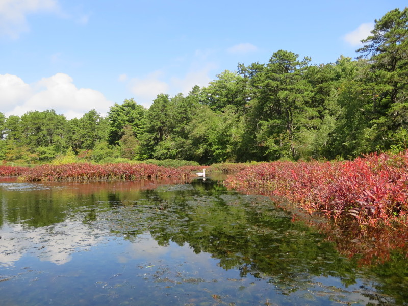
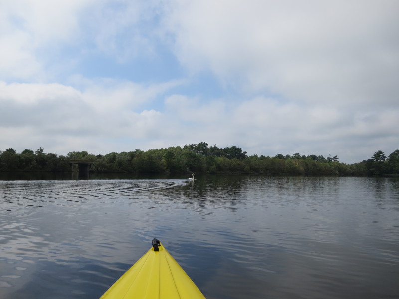 Swan.
Swan.
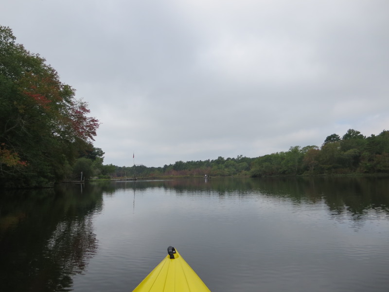
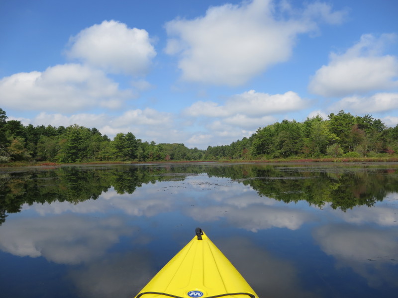
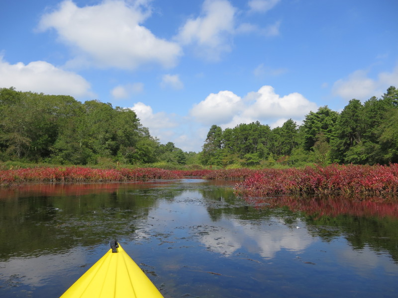
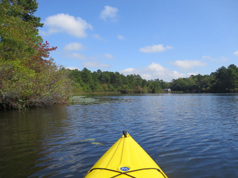
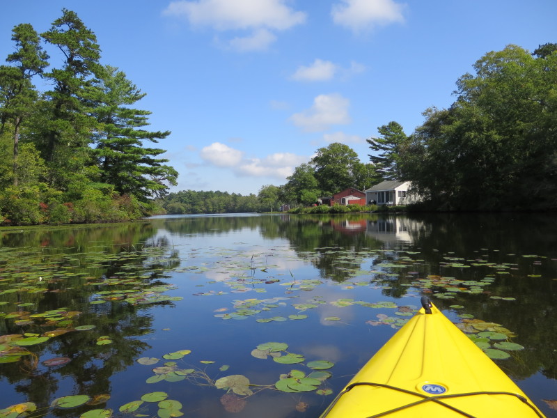
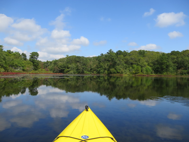
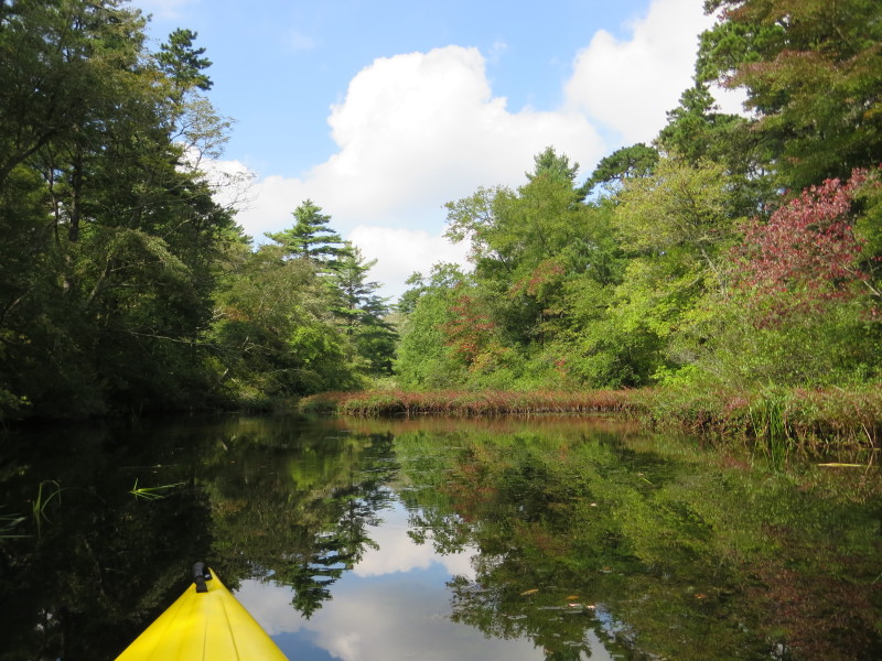
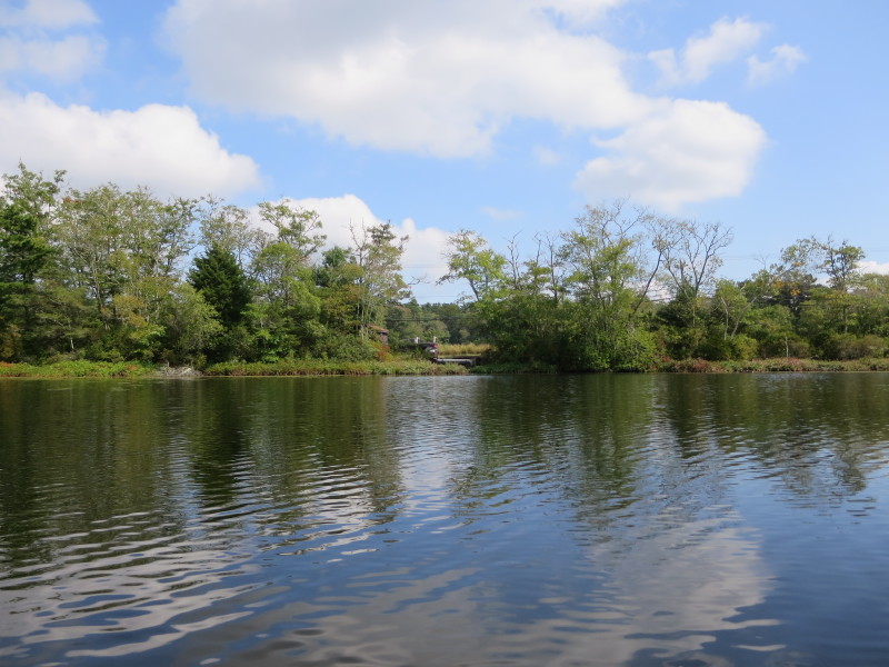
 Another cove on my left next to Route 25.
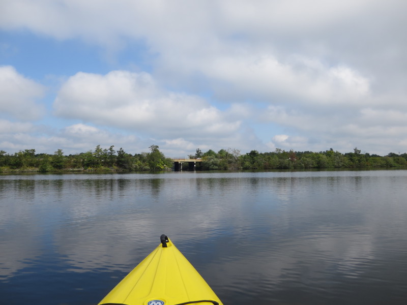
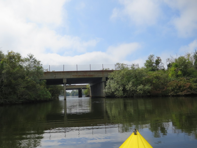 Approaching the Route 25 bridge over the Agawam Mill Pond.
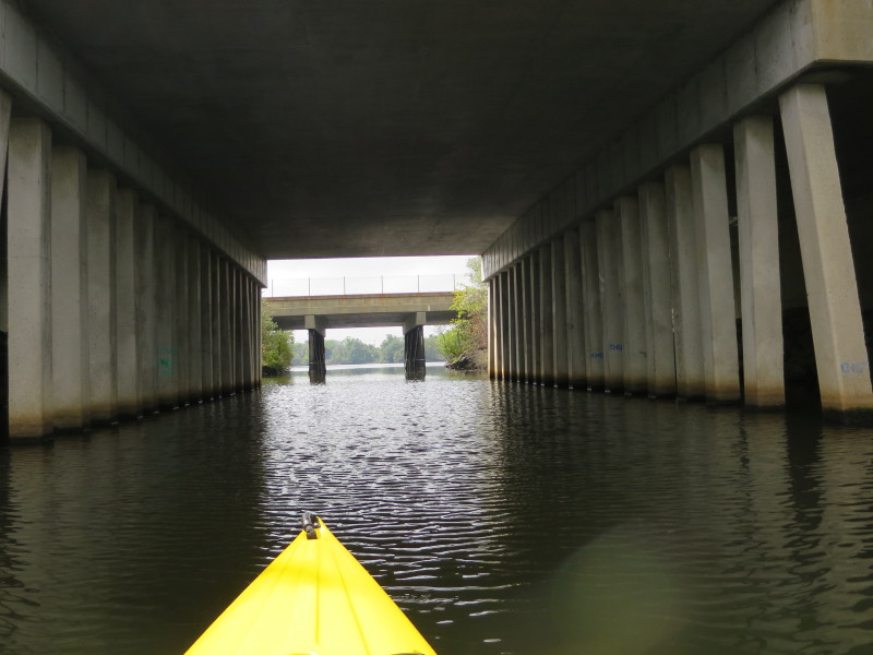
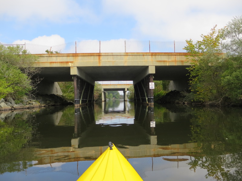
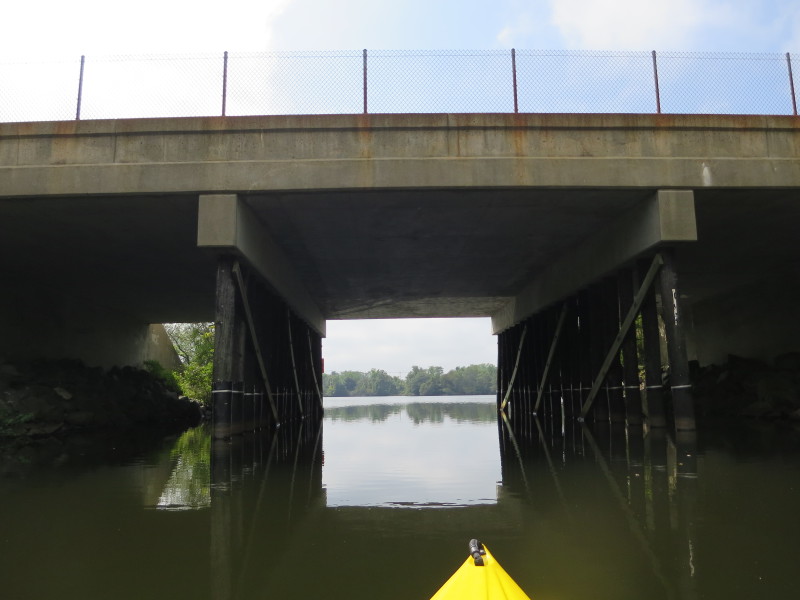 Past the westbound bridge. About to pass the eastbound Route 25 bridge.
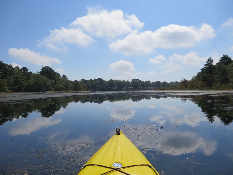
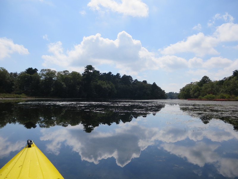
 Now on this small pond south of the Route 25 bridges.
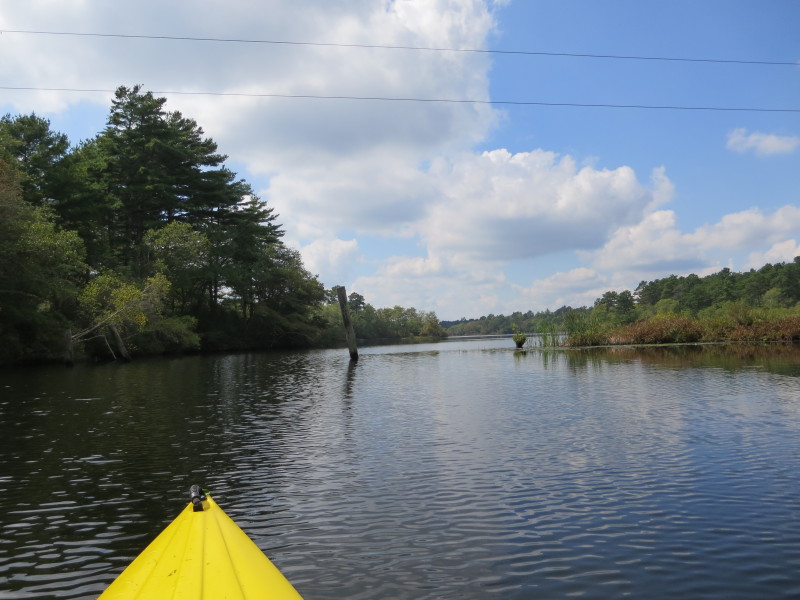
 On left half of picture is the Route 6 bridge over the Wareham River.
 Approaching the state ramp at Ames Island Road state ramp in Wareham MA.
Took a short break at the ramp.
 Back on the water, now paddling back northwards.
 Paddling northwards under the Route 25 bridges.
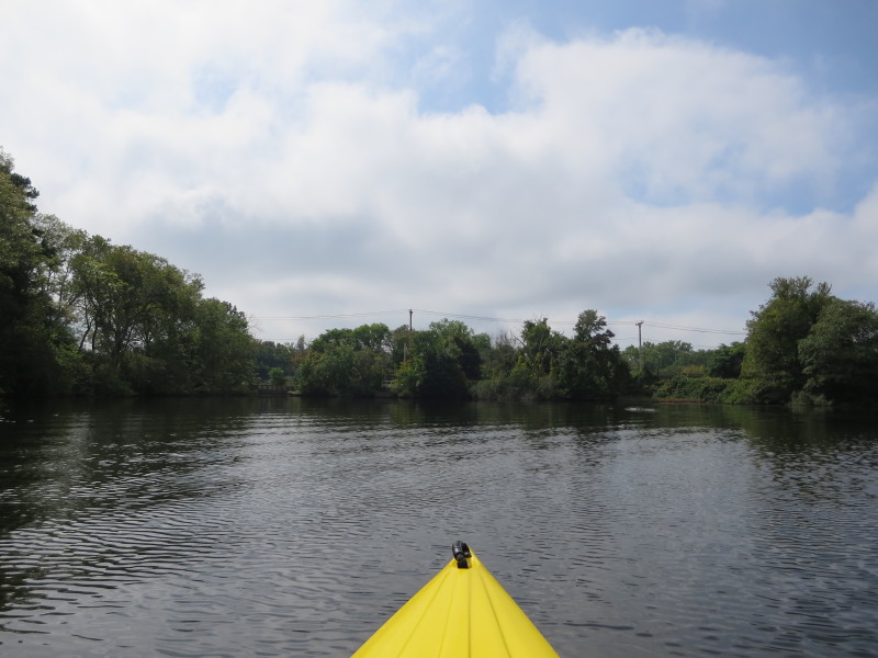
 Now north of the Route 25 bridges, a cove on my left.
 Will paddle straight and cut off the cove on my left.
 A fisherman on my right.
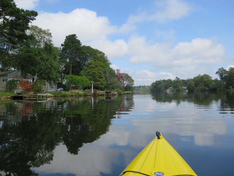
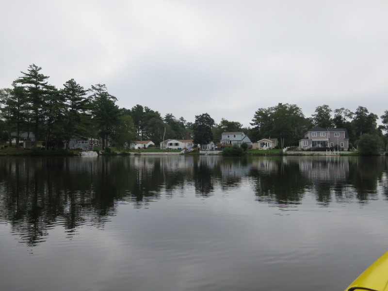
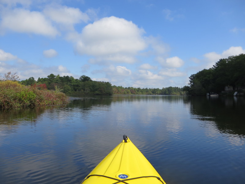
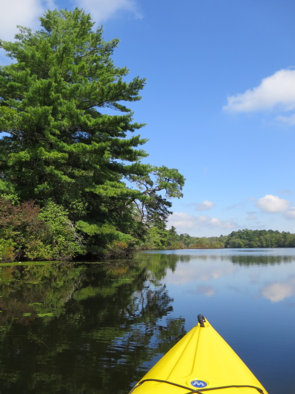
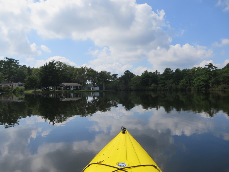
 Will follow the western shore on my left.
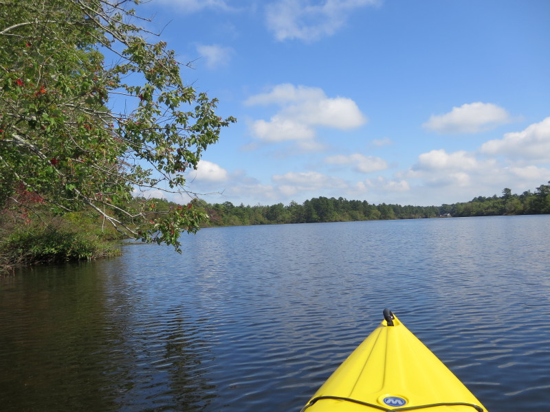
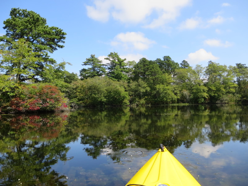
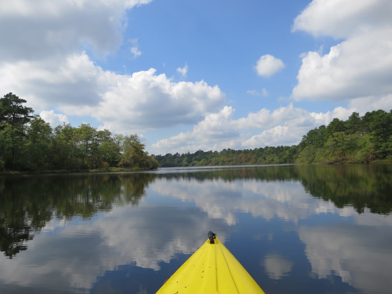
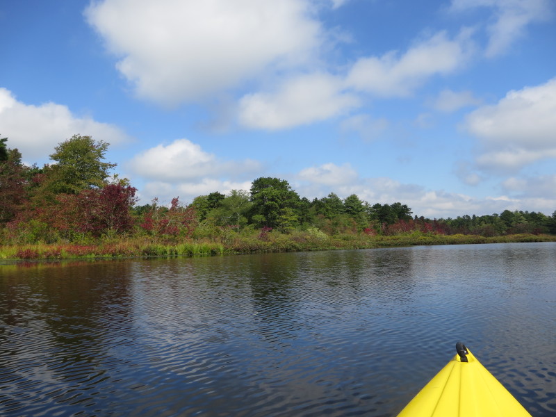 It is middle of September and some leaves are starting to lose their green colors.
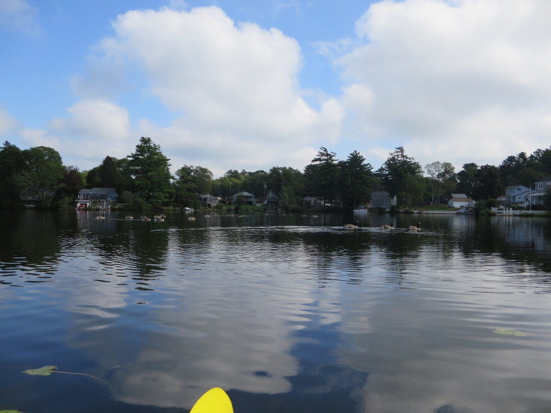
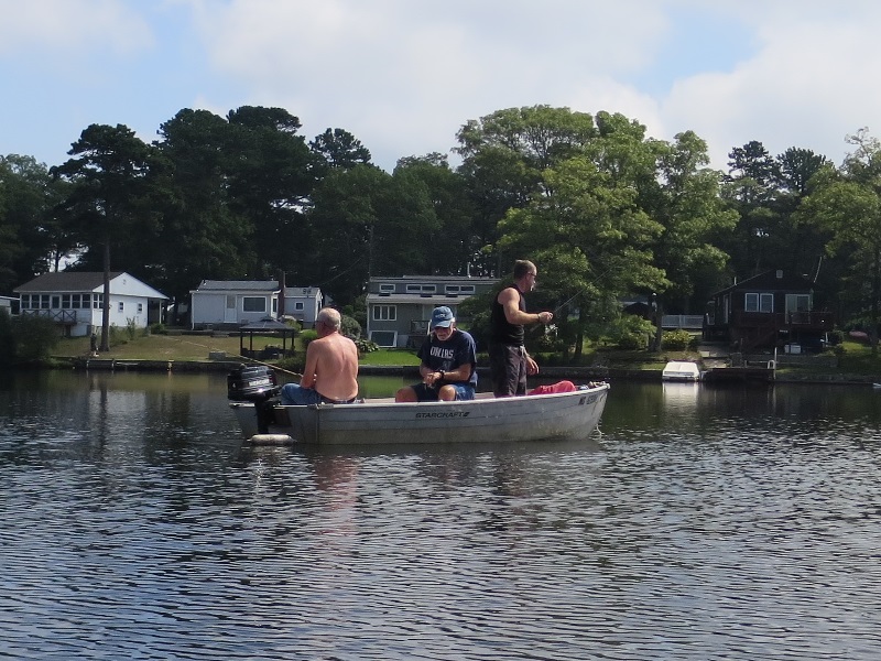 Three guys fishing from a boat on Agawam Mill Pond.
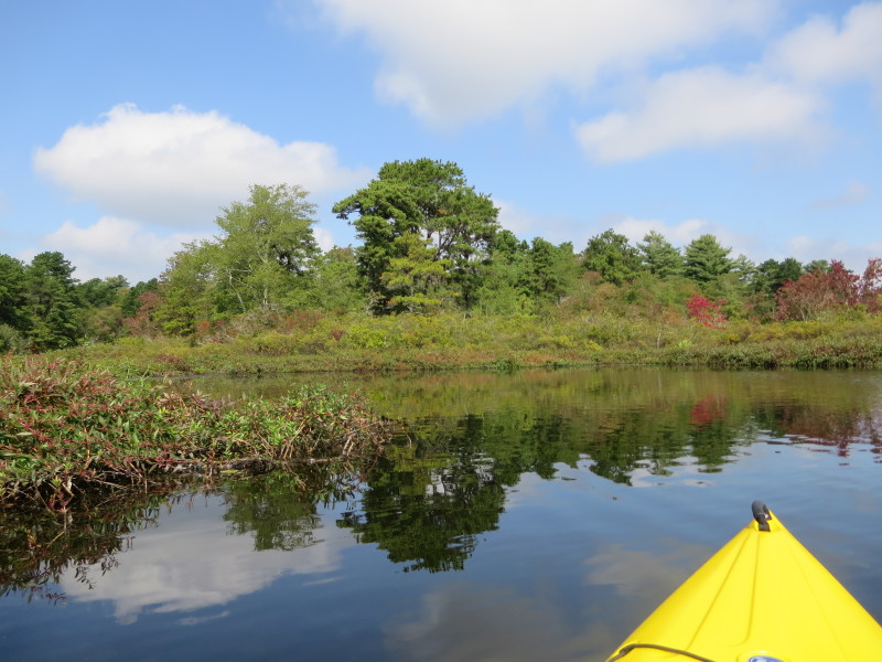
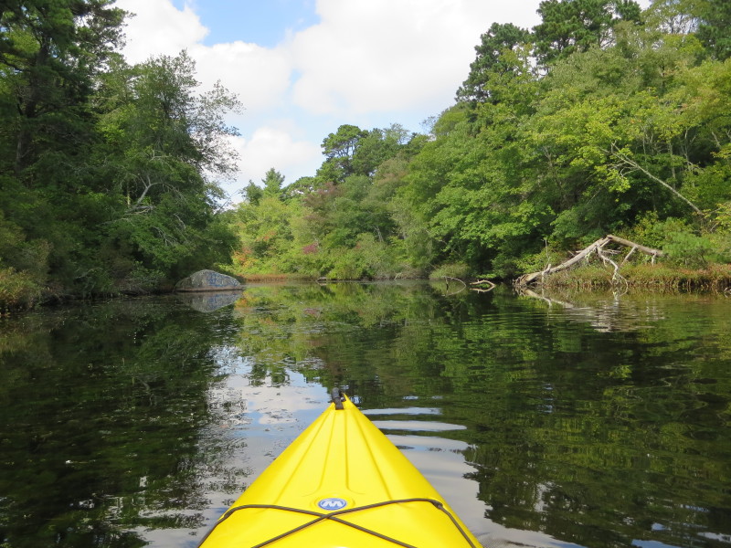
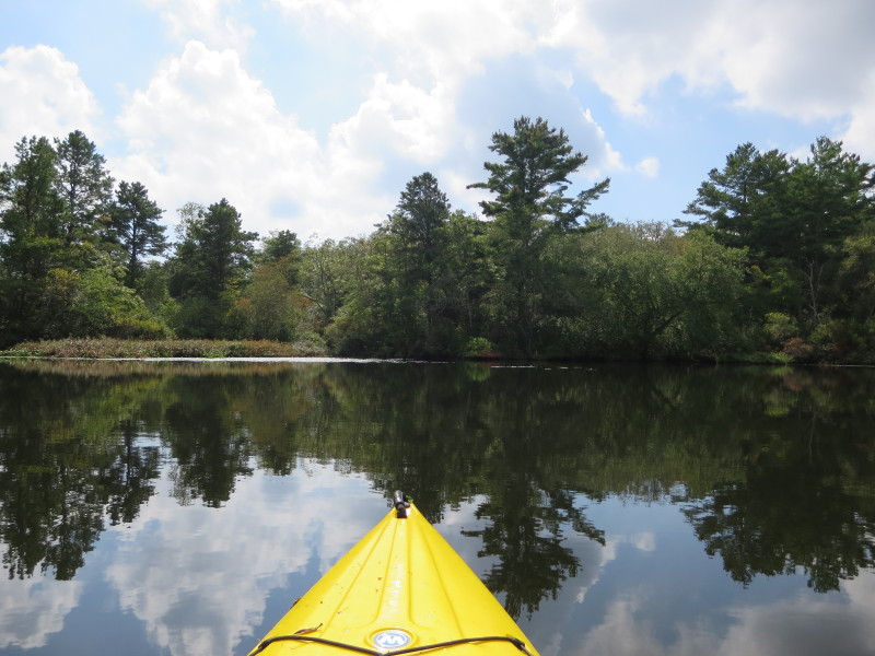
 On left is one of the arm branches of Agawam Mill Pond.
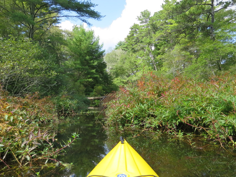
 Entering this branch (the western north one).
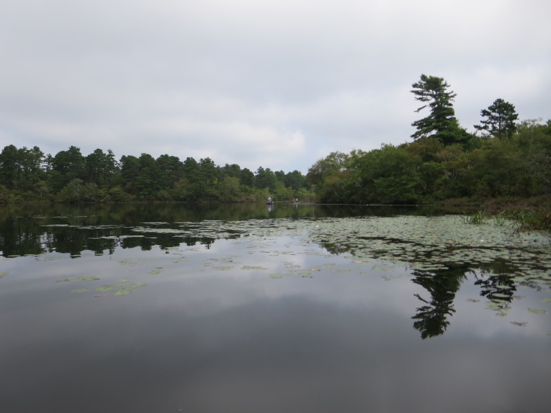
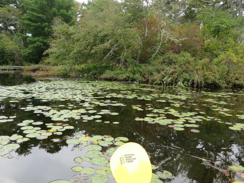
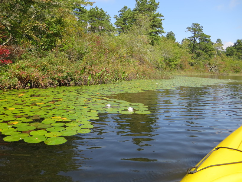
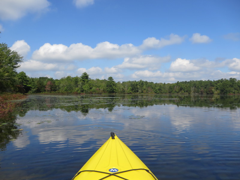
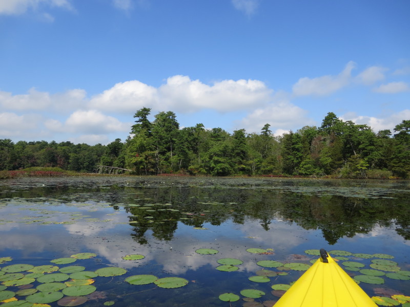
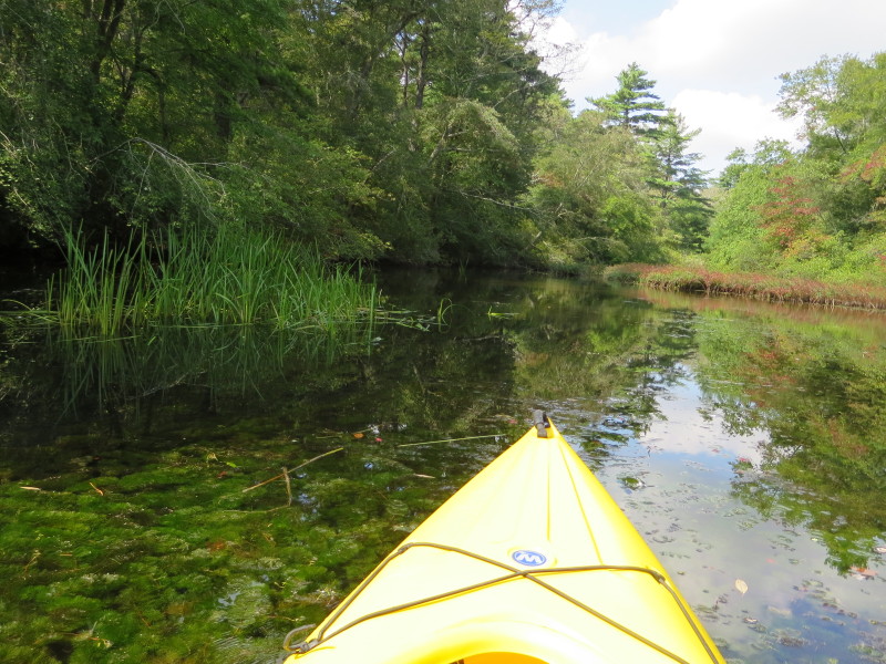
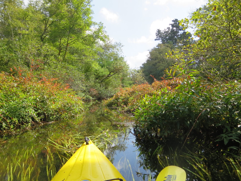
 There are a lot of aquatic plants just below the surface.
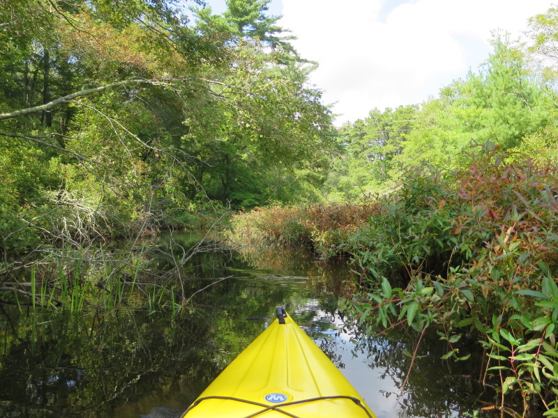
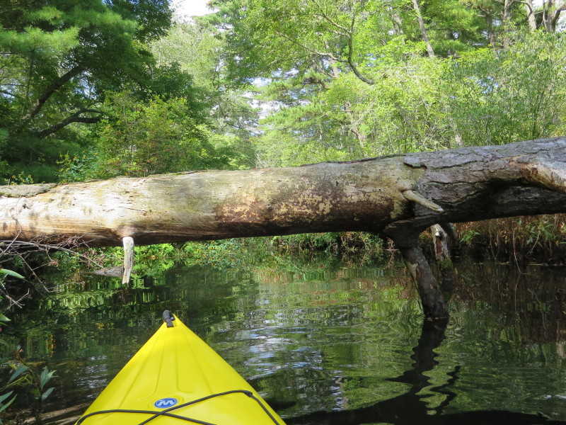
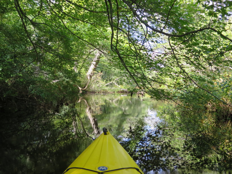
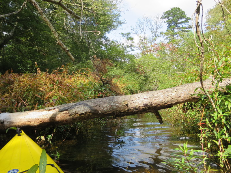
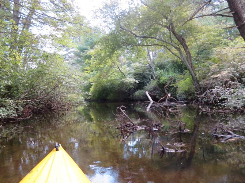
 This branch getting narrow and river-like.
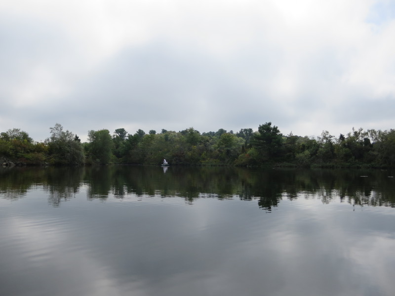
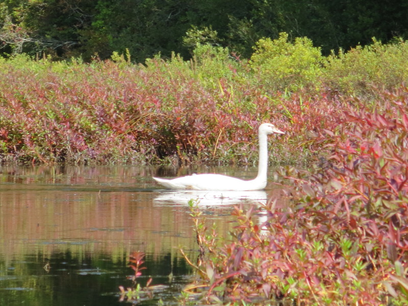 After spotting this swan, I turned around.
 Now paddling back into the main body.
 Into the main branch, veering left.
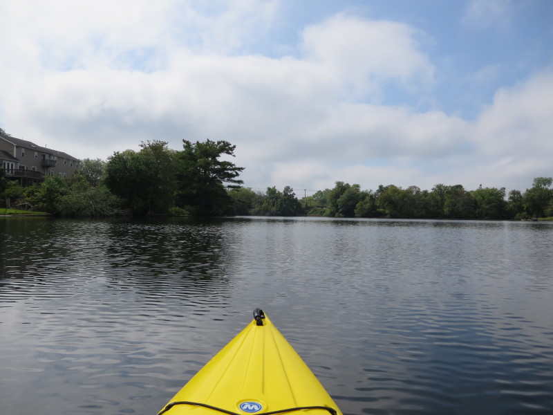
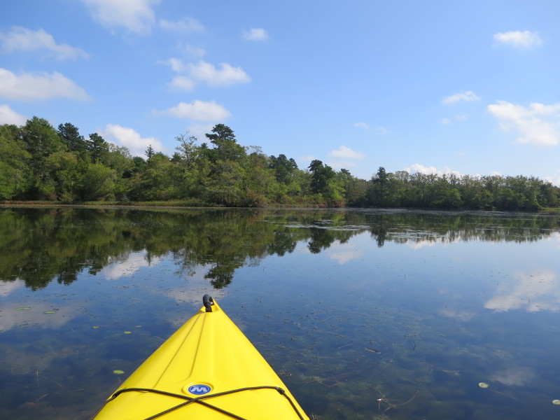
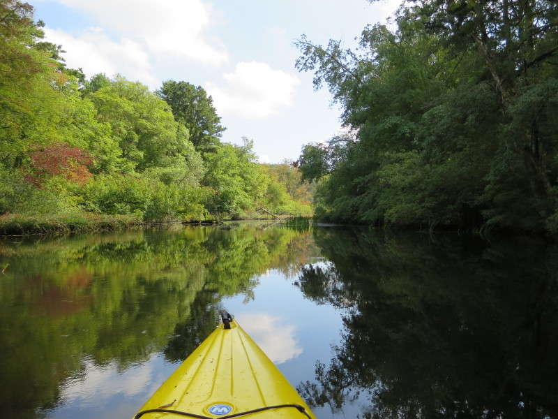
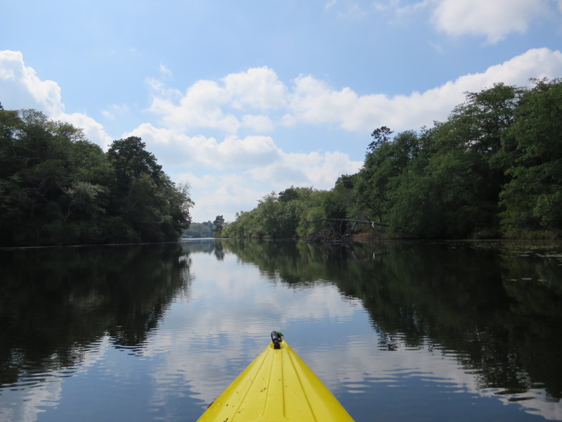
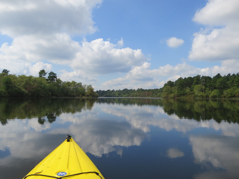
 Into the main body of Agawam Mill Pond, continuing eastwards.
 Following the north/west shore on my left.
 At center of picture is the narrow channel to get to the northeast end of Agawam Mill Pond.
 Approaching the narrow channel.
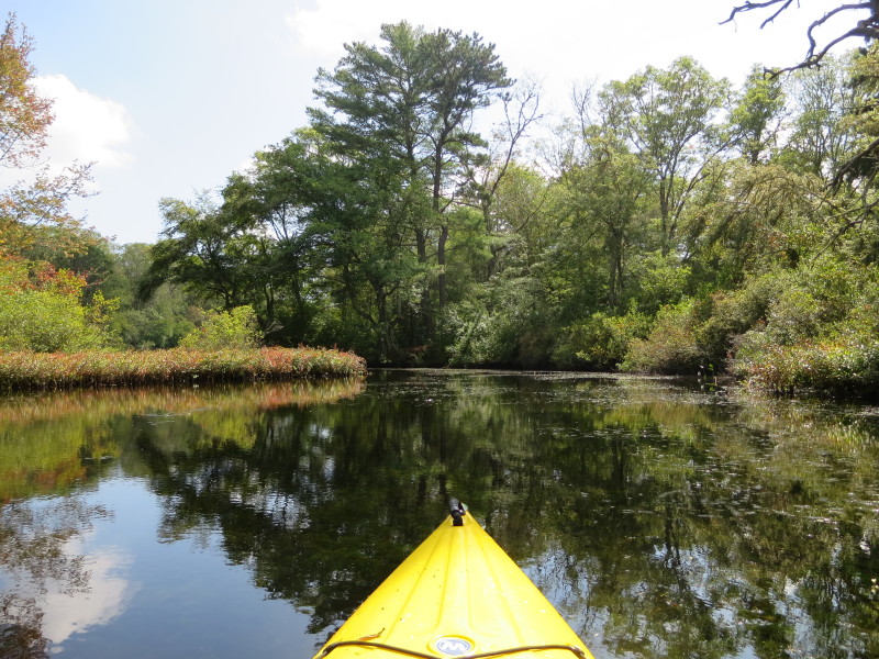
 The northeast section.
 On left half of the picture is a cove.
 Veered left to explore this cove a bit.
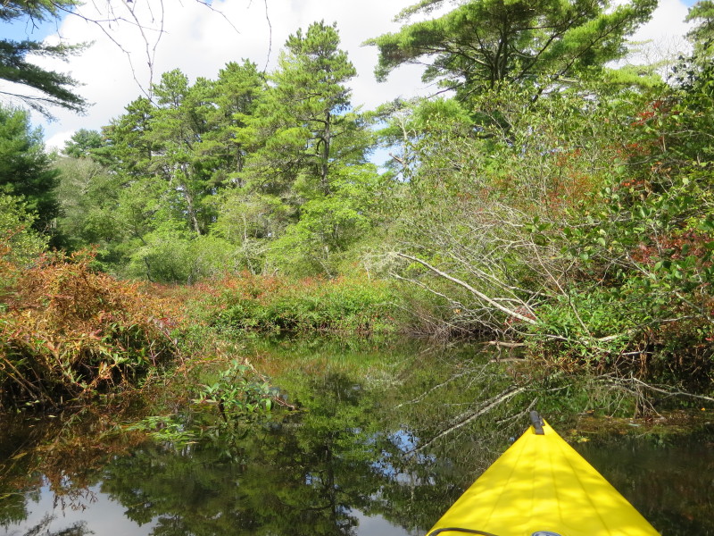
 The northern end of this cove.
 Veering right to continue my clockwise circumnavigation.
 Veering right to the northeast branch.
 Continuing to follow this northeast branch.
 Aquatic plants.
 It is very shallow here.
 From here, I can hear (but not see) the water falling on the botom of Glen Charlie Dam.
I can also see passing cars on Agawam Road.
 Just turned around.
 Now paddling southwards back to where I came from.
 Now out of the narrow section.
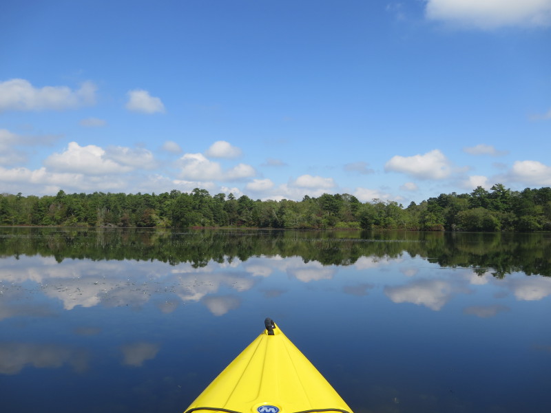
 From here the main branch of Agawam Mill Pond is now visible.
 Glen Charlie Road.
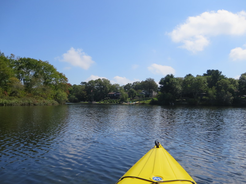
 The launch I came from will be on this coming cove on left.
 :Landed. Paddle time is exactly 2 hours (120 minutes).
|
 Kayaker